
EE
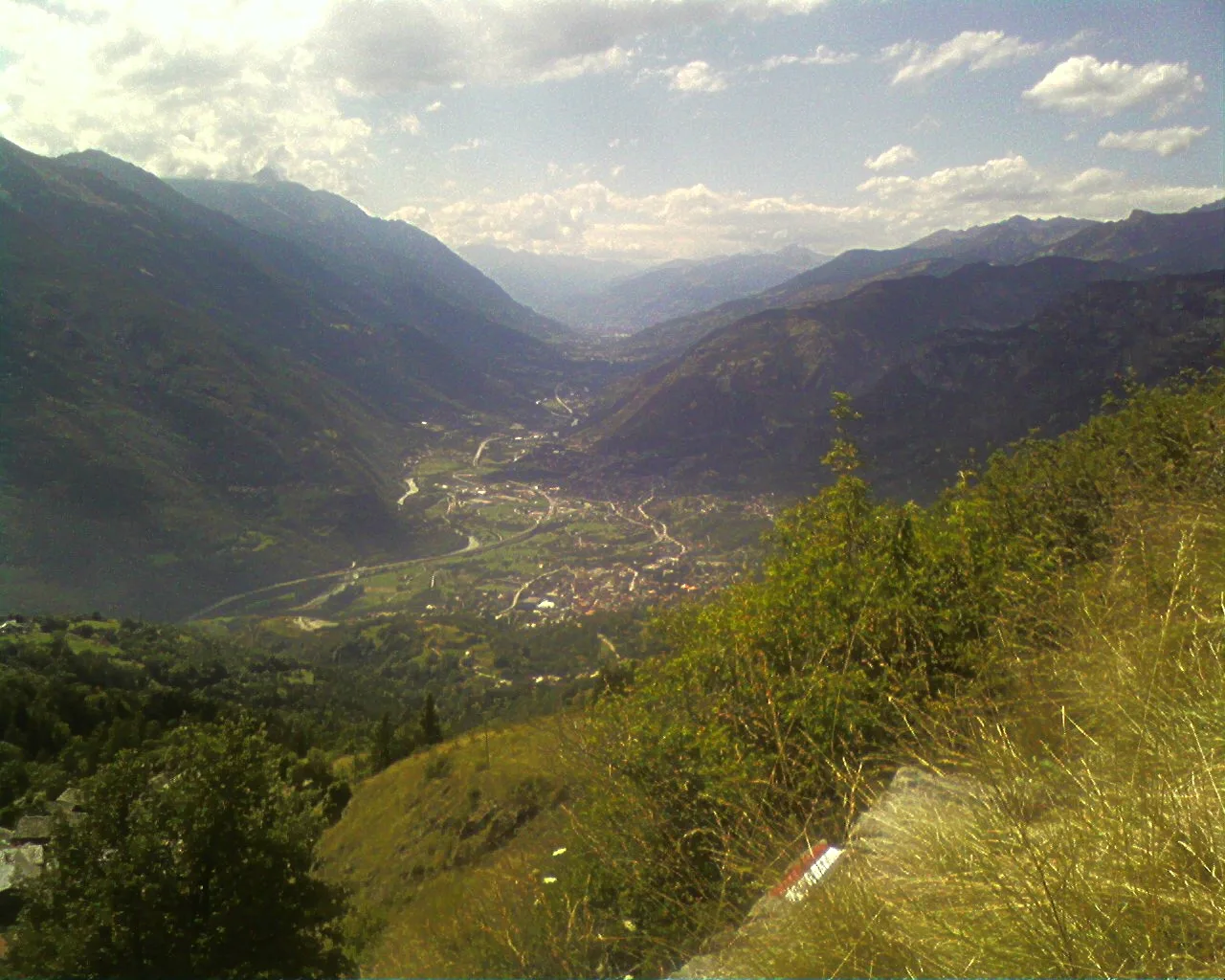
Val d'Ayas
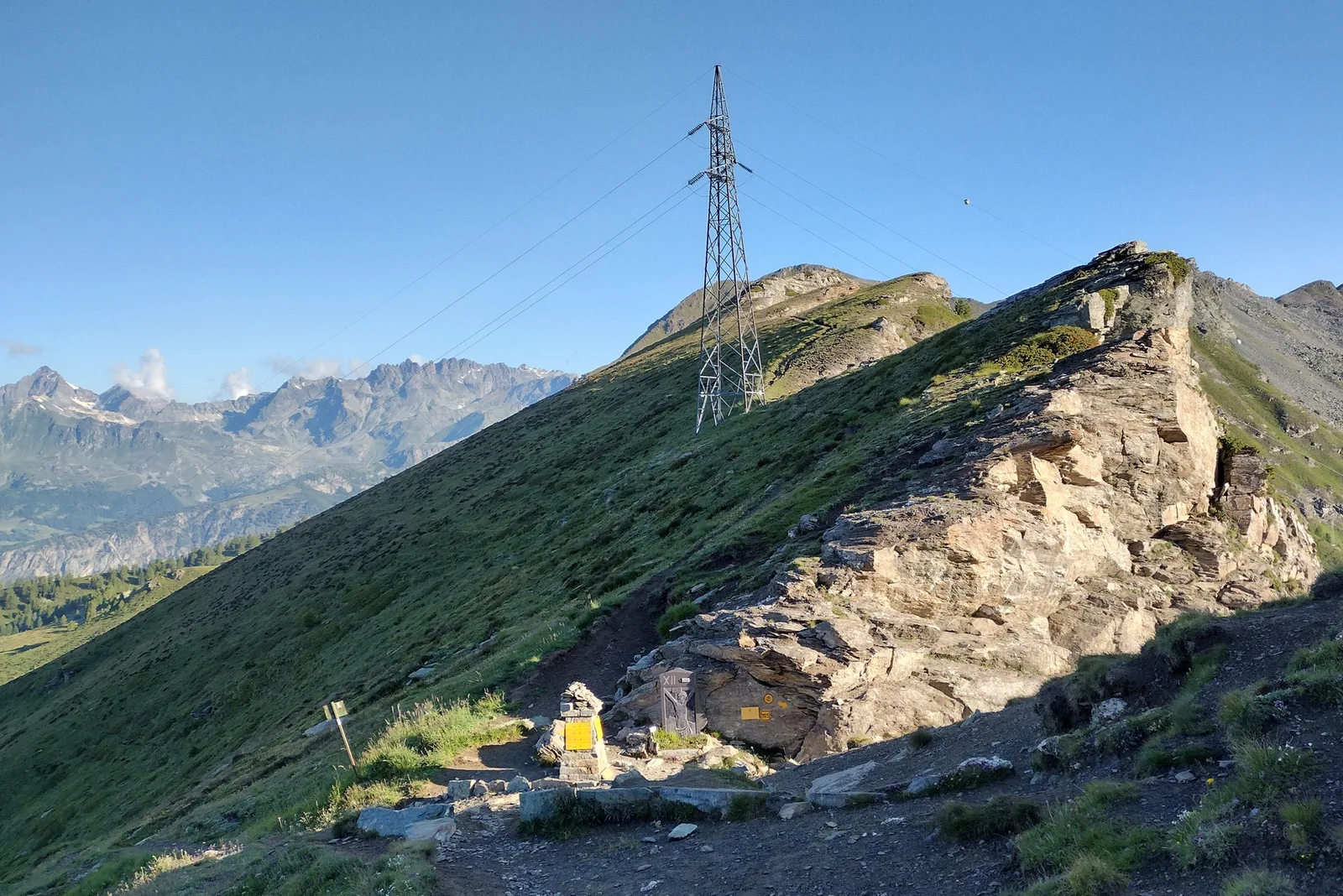
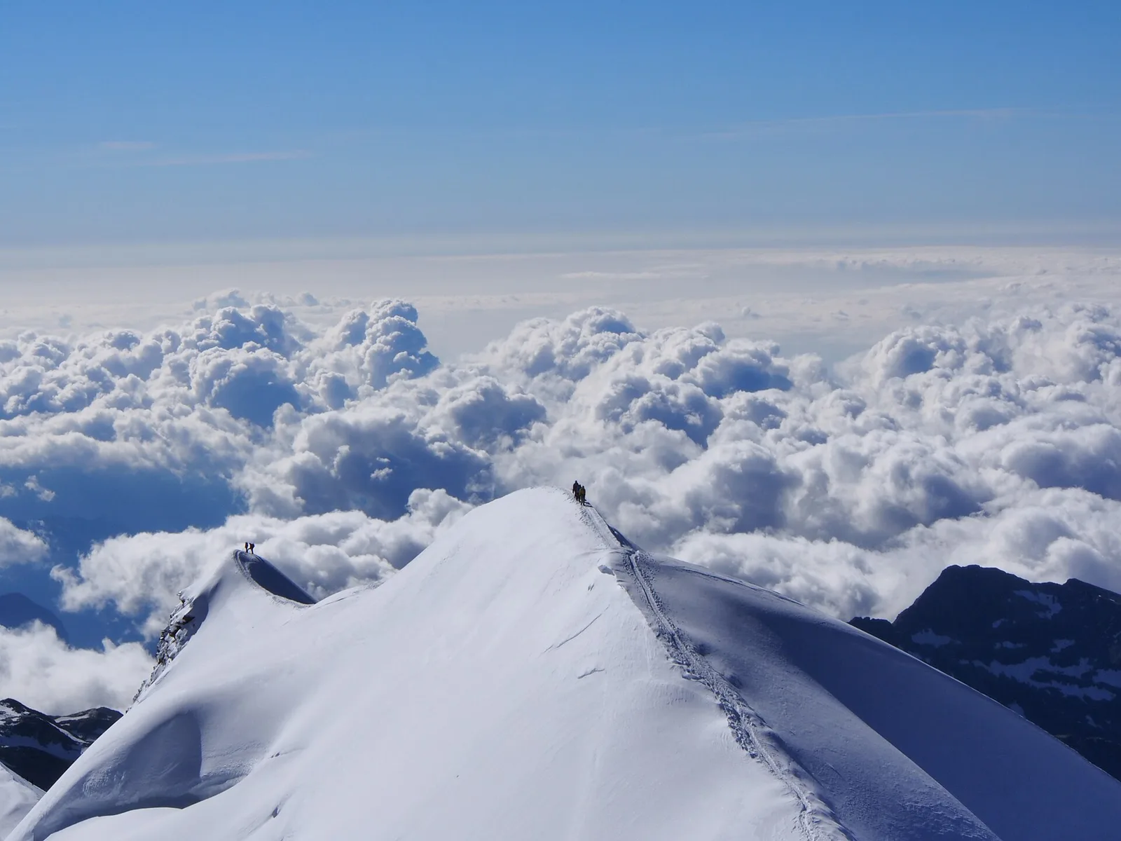
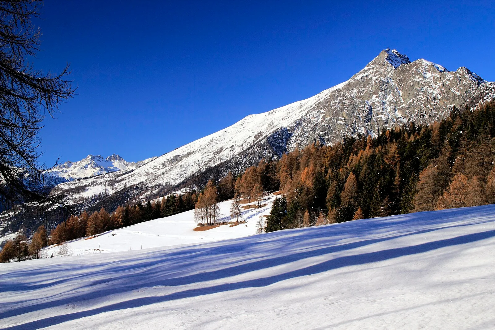
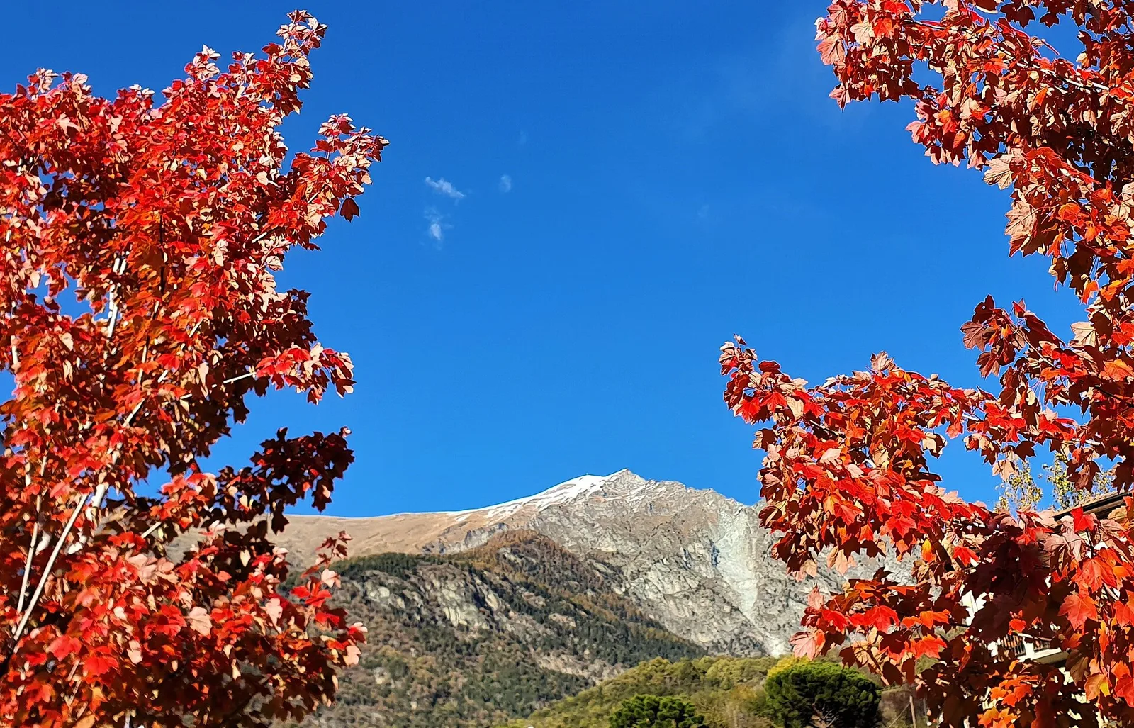
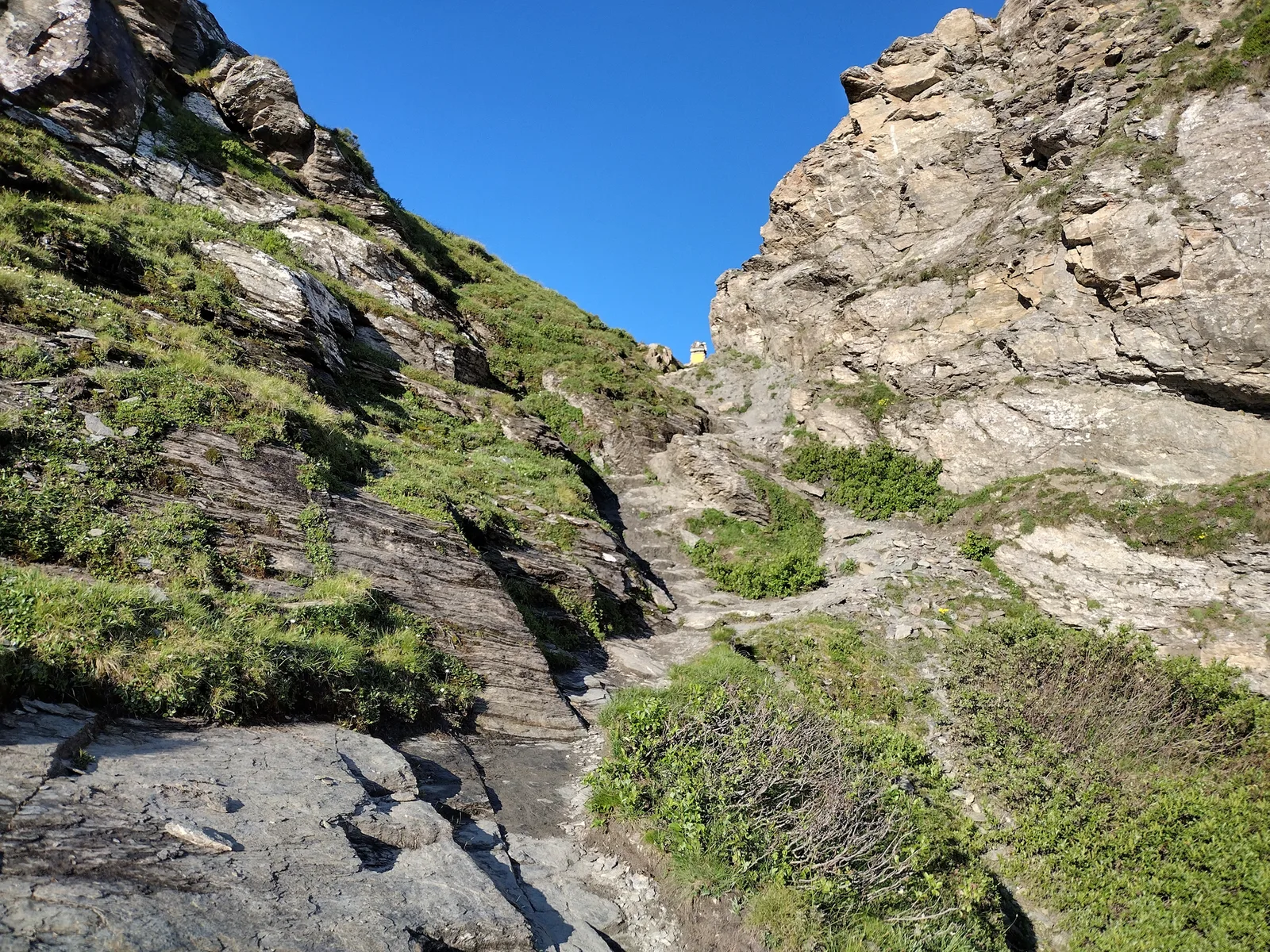
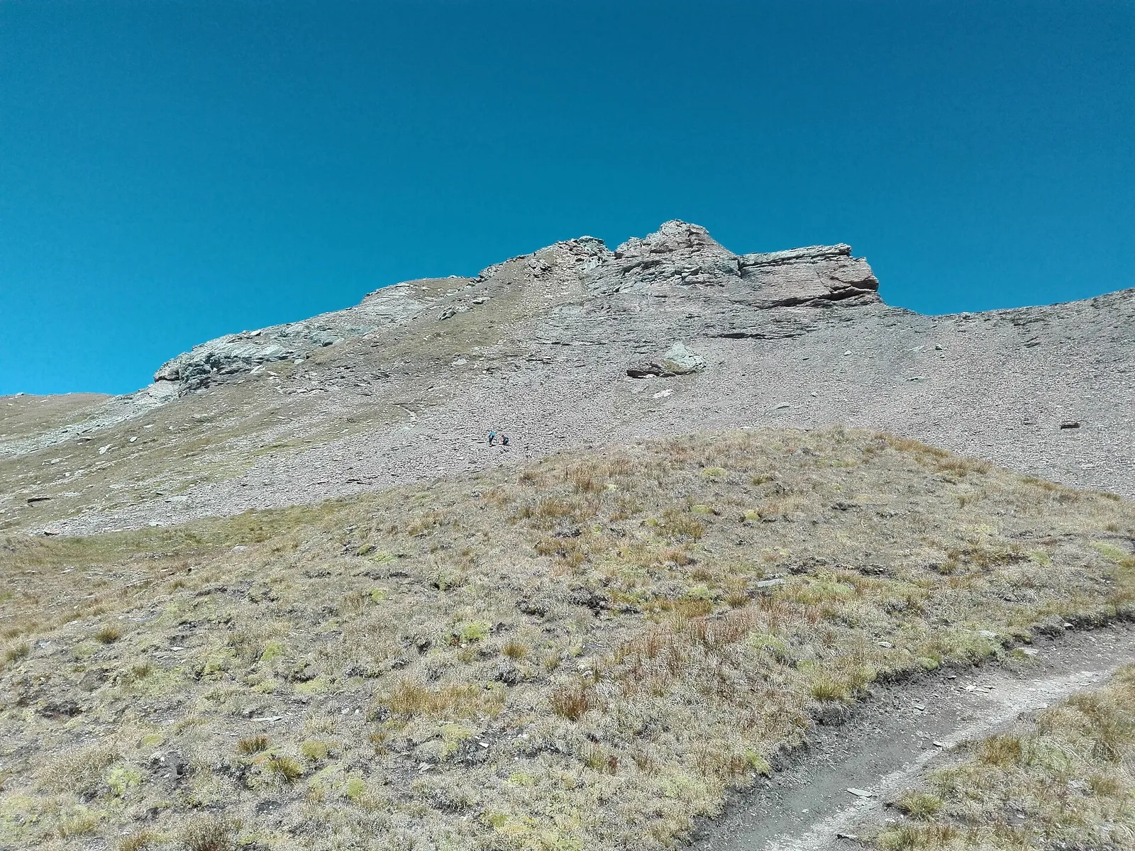
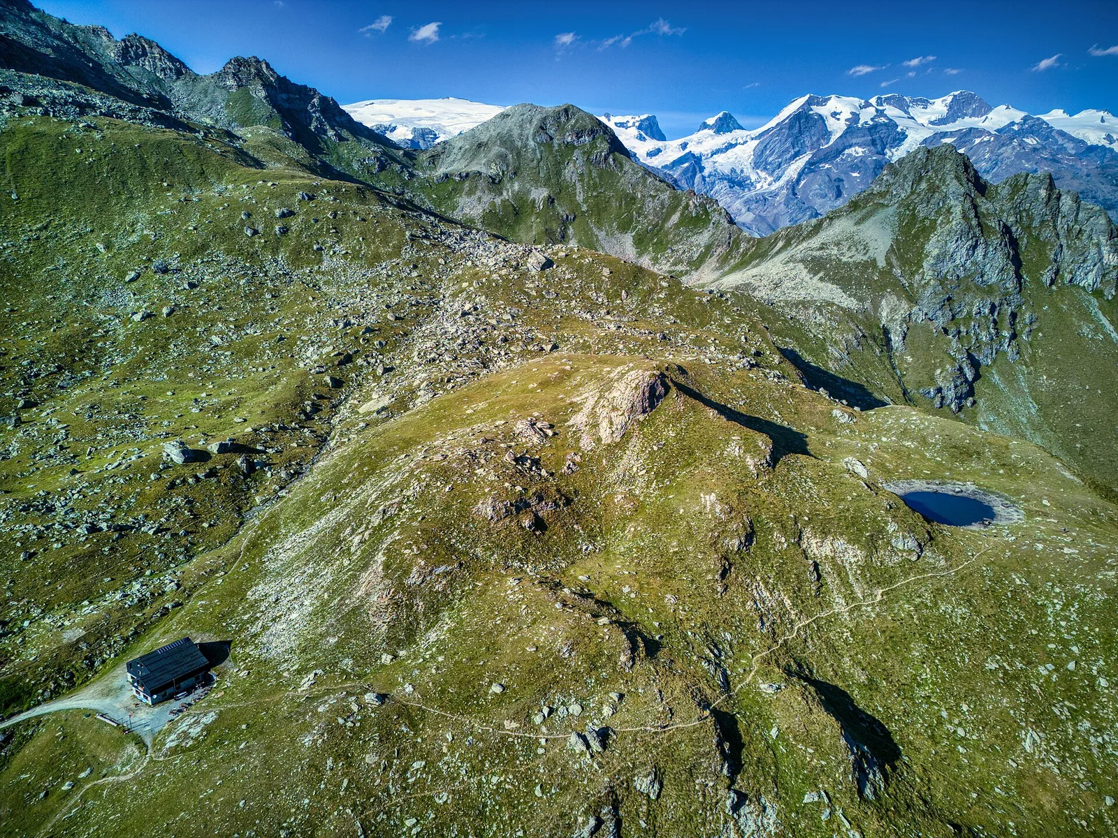
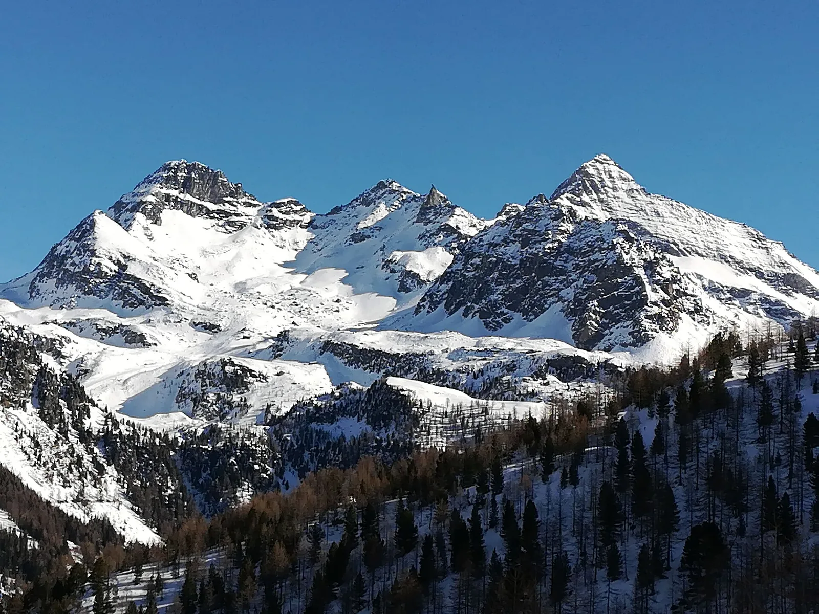
Amponey - Becca Trecare
A demanding EE ascent from Amponey to Becca Trecare at 3032m — nearly 1500m of gain on varied terrain with sweeping summit views.
7.5 km+1488 m5.5 h
Trails by valley
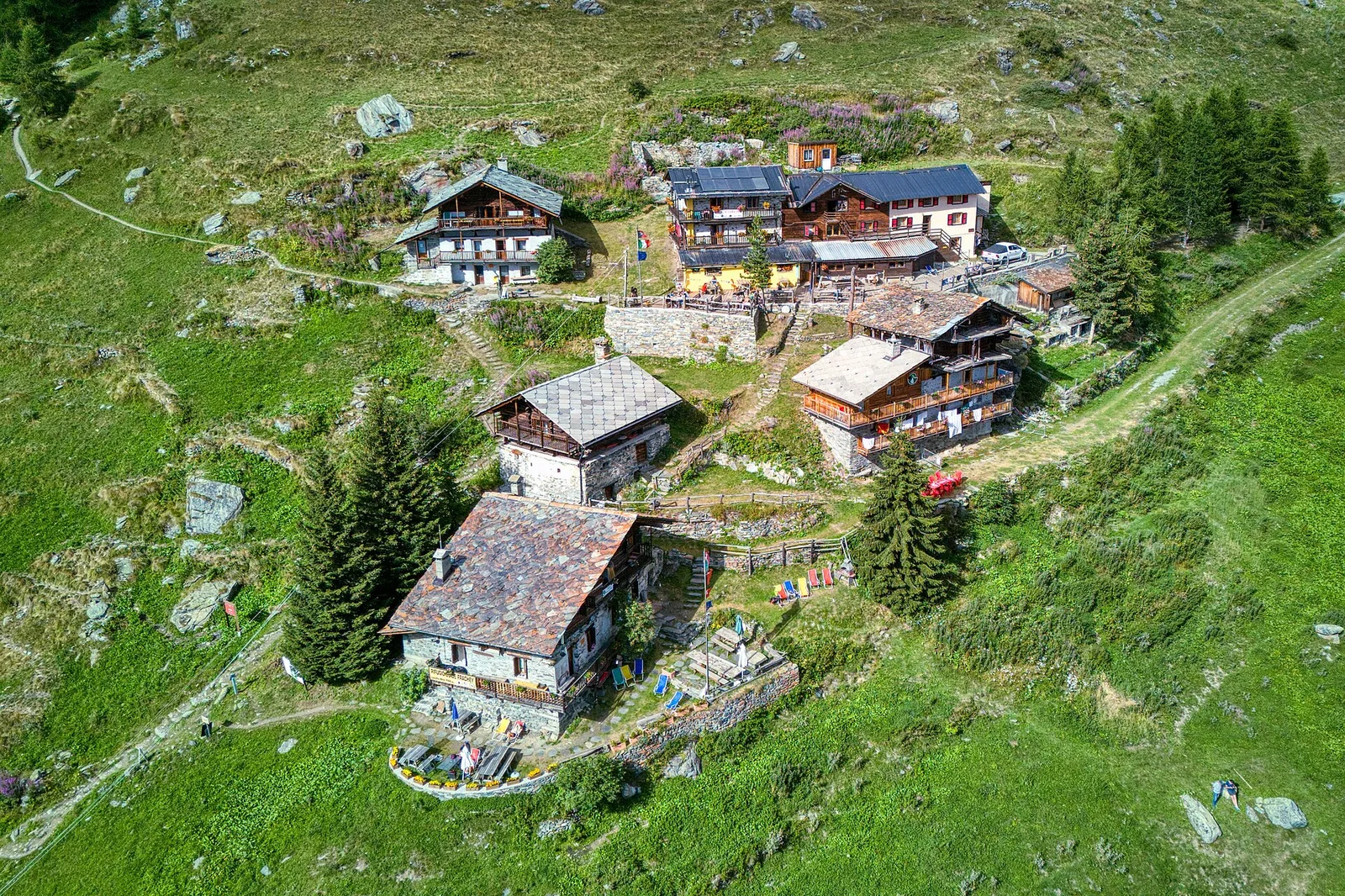
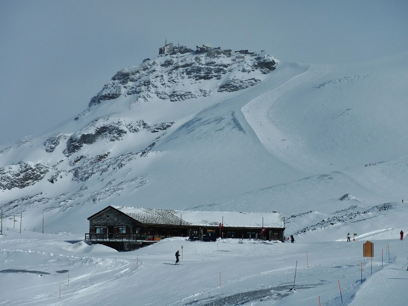
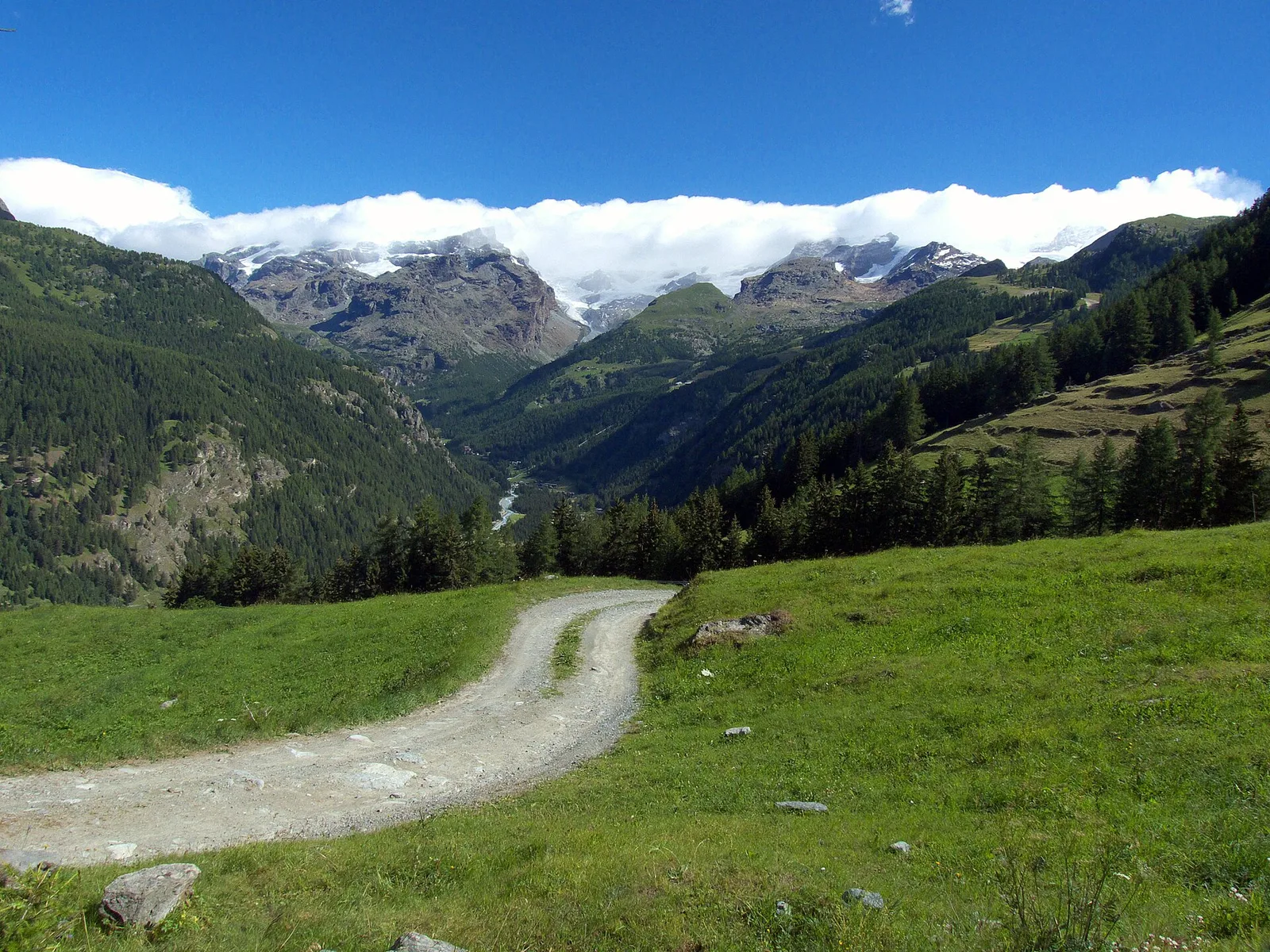
116 documented trails in Val d'Ayas: difficulty T–EEA, elevation gain 0–1907 m.
116 · 0.4–53.5 km · +0–1907 m
Val d'Ayas
A demanding EE ascent from Amponey to Becca Trecare at 3032m — nearly 1500m of gain on varied terrain with sweeping summit views.

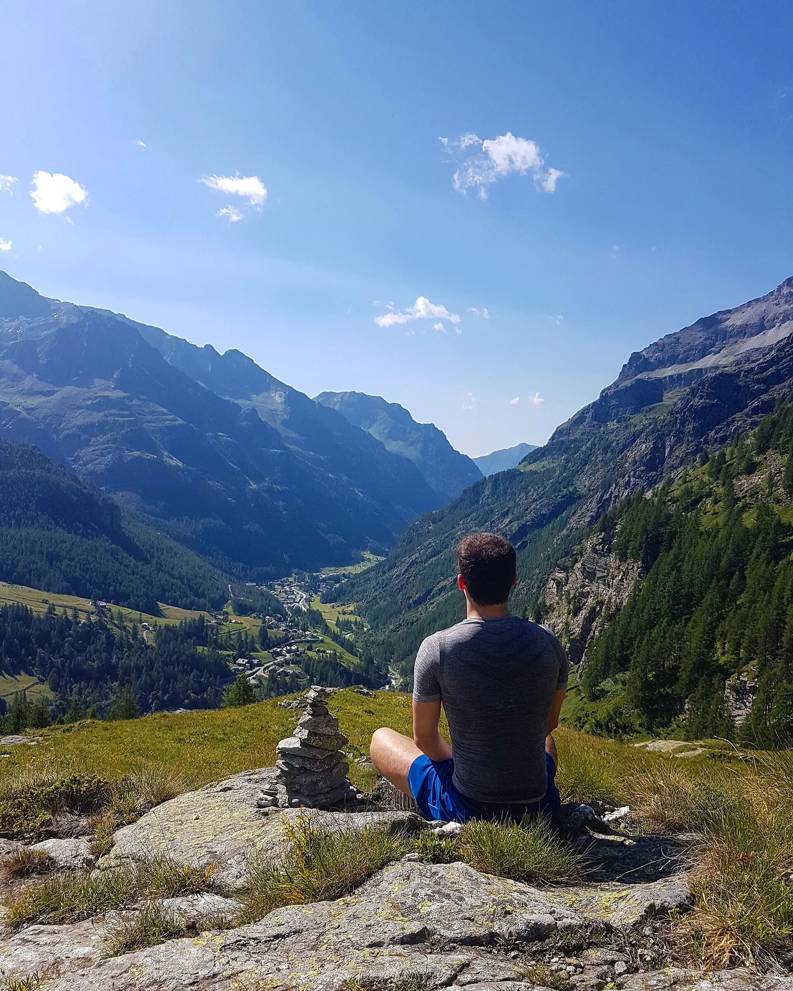
Val d'Ayas
1.8 km · +309 m · E — from Amponey to Alpe Mascognaz (Central Valley).

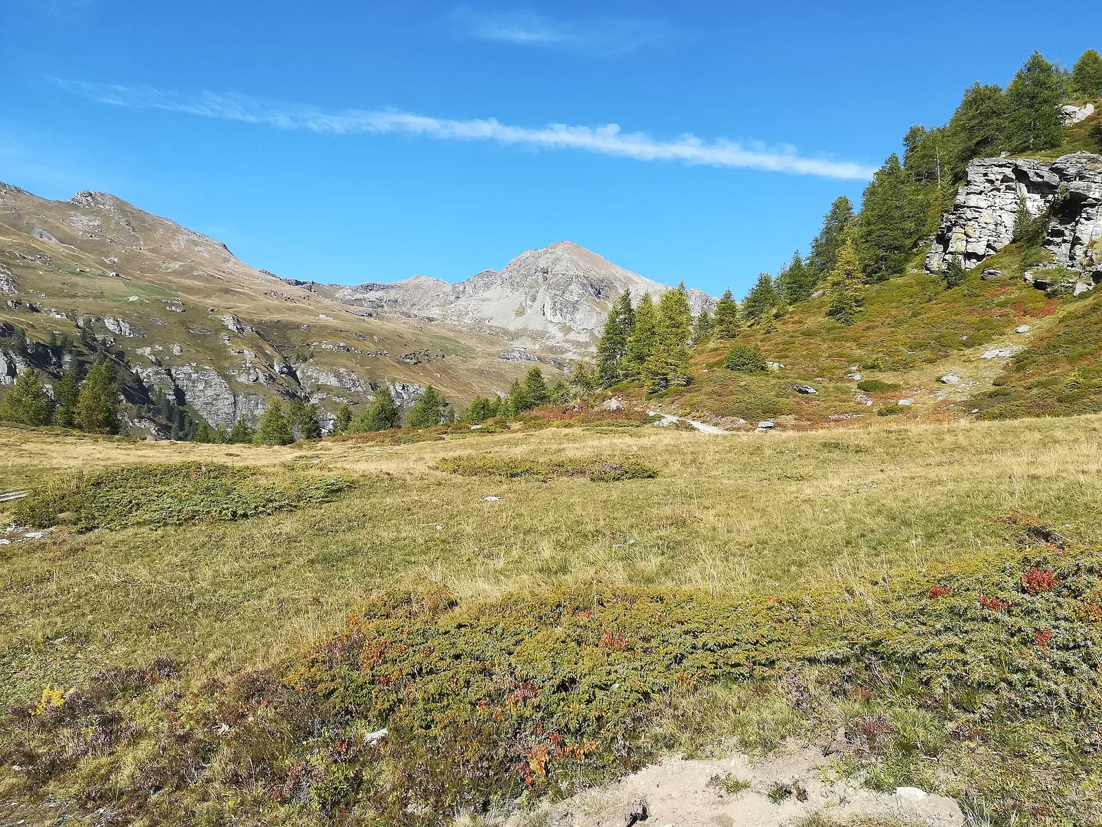
Val d'Ayas
In the Val d'Ayas, Ayas: an E-rated climb toward a high-altitude objective through pastures and rock with views of Monte Rosa.

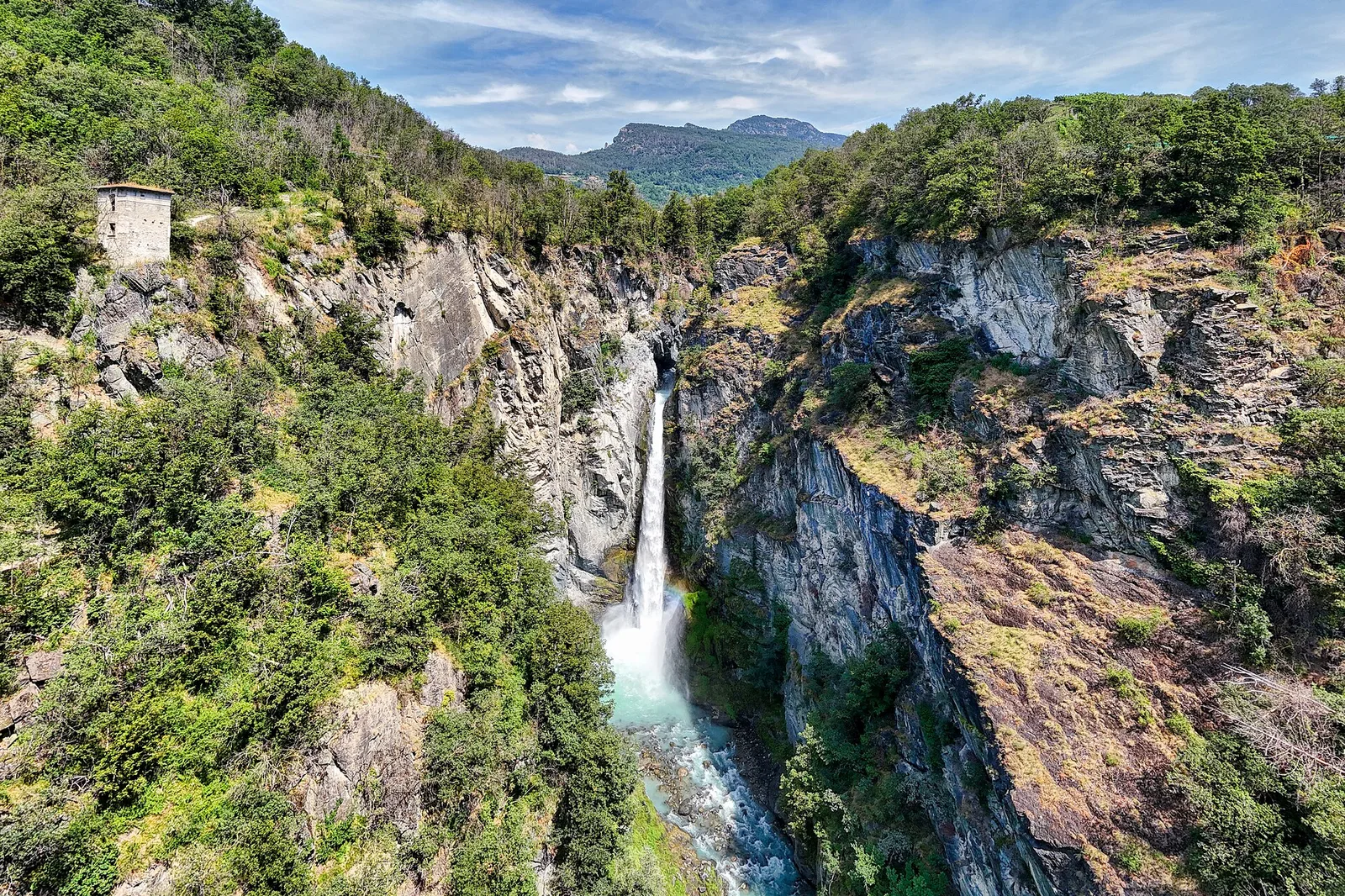
Val d'Ayas
In the Val d'Ayas, Ayas: an E/EE-rated climb toward a high-altitude objective in the alpine landscape.

Val d'Ayas
9.4 km · +1238 m · EE — from Isollaz to Isollaz (Ayas Valley).
Val d'Ayas
Commune of Ayas: an EE climb toward the high ground of the Vallone delle Cime Bianche.
Val d'Ayas
1.6 km · +137 m · E — from Arbaz to Miniera di Bechaz (Ayas Valley).

Val d'Ayas
1.9 km · +78 m · E — from Arbaz to Mont d'Arbaz (Ayas Valley).
Val d'Ayas
3.8 km · +608 m · E — from Arbaz to Tete de Comagne (Ayas Valley).
Val d'Ayas
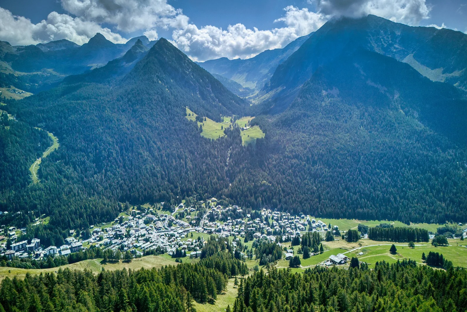
An easy T-rated stroll from Arcésaz to Brusson along irrigation canals and mid-slope paths in the Val d'Ayas: 3.6 km, no difficulty, suitable for families and all levels.
Val d'Ayas
6.7 km · +997 m · E — from Artaz to Mont Zerbion (Valdigne).

Val d'Ayas
5 km · +1265 m · E — from Strada Barbustel to Mont Barbeston (Central Valley).
Val d'Ayas
From Barmasc, trail 2A climbs directly to Col Pillonnet (2698 m), the pass between Val d'Ayas and Valtournenche, with 799 m of ascent in 3.7 km.

Val d'Ayas
In the Val d'Ayas, Ayas: an E-rated climb toward a pass or panoramic objective.
Val d'Ayas
6 km · +828 m · E — from Bellecombe to Thoule (Valdigne).
Val d'Ayas
Vallone delle Cime Bianche, commune of Ayas: an EE route through one of the most pristine high-altitude environments of the Val d'Ayas.
Val d'Ayas
From Blanchard in Val d'Ayas, a long route to the Mariano bivouac and Lake Tzère at 2,870 metres, through high pastures, scree and high-altitude silence.
Val d'Ayas
From Blanchard (1731m) to Colle Superiore Cime Bianche (2985m): 8.5 km E with panorama over Gran Paradiso, Rosa, Matterhorn and Mont Blanc. Natura 2000 area between Val d'Ayas and Valtournenche.
Val d'Ayas
From Blanchard (1731 m) to Grand Lac (2815 m) with Alta Via 3 connection: 7.5 km, +1085 m. Scenic alpine lake and long-distance trail link. E.
Val d'Ayas
From Blanchard to the Lago Blu of Ayas (trail 7): 4.2 km, +575 m, E. The pool that mirrors Monte Rosa.
Val d'Ayas
Commune of Ayas: an EE climb in high-mountain terrain toward a panoramic high-altitude objective.
Val d'Ayas
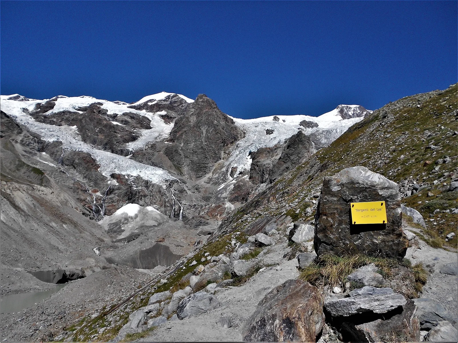
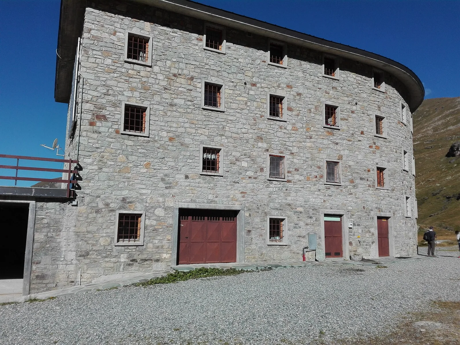
From Blanchard (1,731 m) to the Rifugio Guide di Ayas (3,394 m): 8.8 km and 1,668 m of ascent into the high Ayas Valley, EE difficulty.
Val d'Ayas
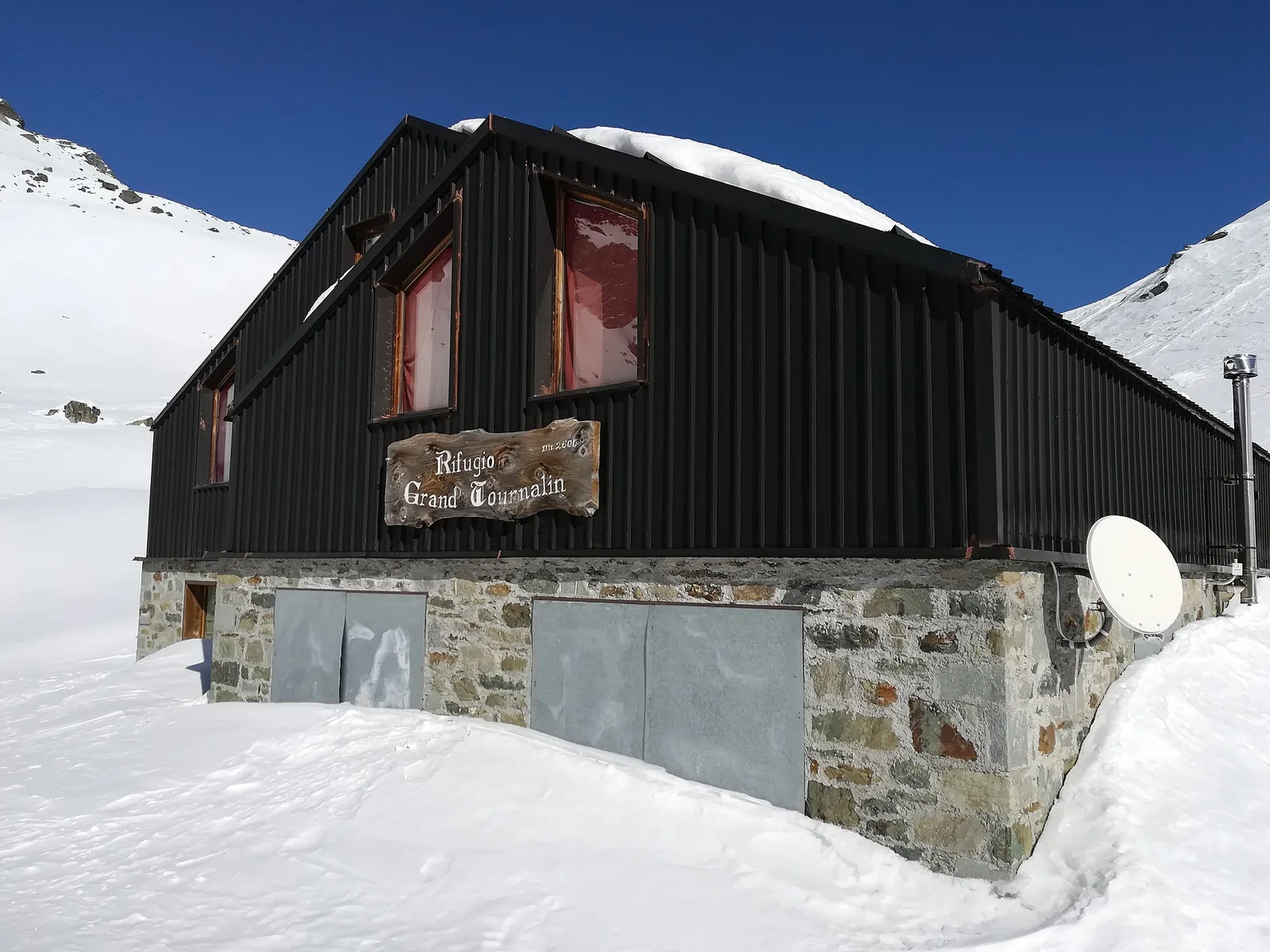
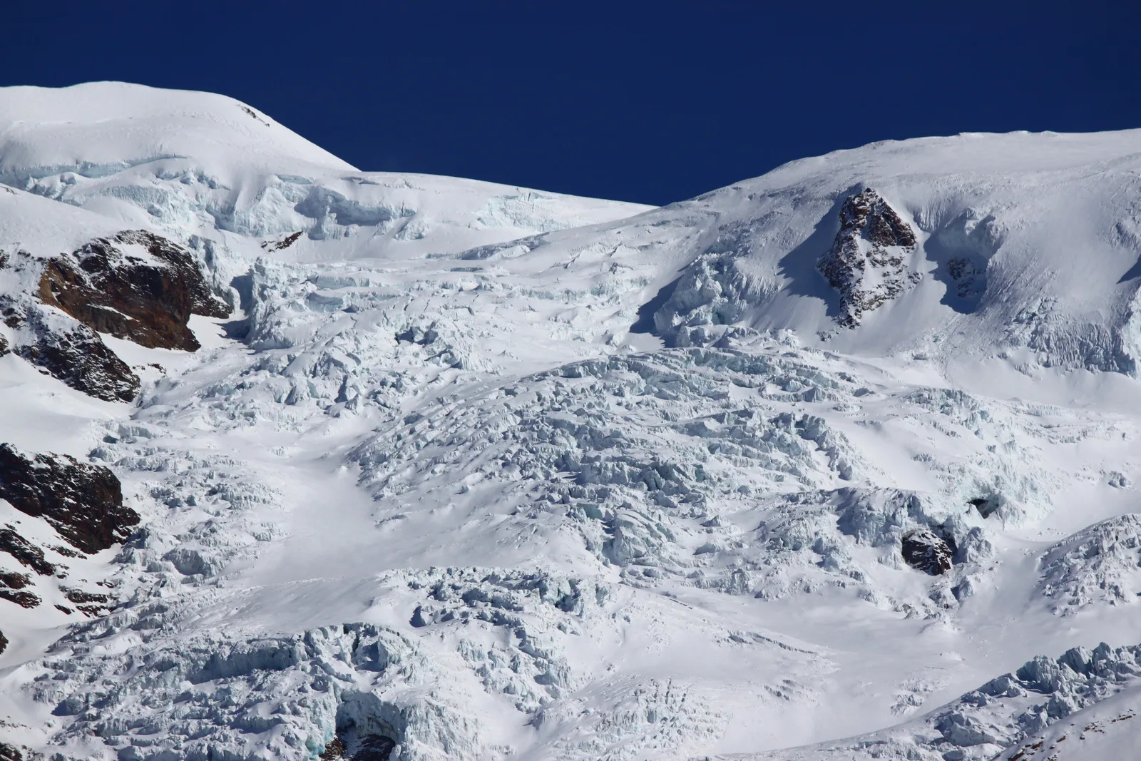
From Blanchard (1731m) to Rifugio Mezzalama (3009m): 7.5 km E to the Castore glacier. Historic mountaineering hut in the upper Val d'Ayas.
Val d'Ayas
In the commune of Brusson, Val d'Ayas: an accessible route among pastures and hamlets with panoramic views.
Val d'Ayas
Upper Val d'Ayas, Brusson: a route toward a panoramic objective over open terrain.
Val d'Ayas
6.6 km · +0 m · EE — from Capiron to Gettaz (Central Valley).

Val d'Ayas
1.8 km · +422 m · E — from Capiron to Miniera di Herin (Central Valley).
Val d'Ayas
4.5 km · +937 m · EE — from Capiron to Mont Lyan (Central Valley).

Val d'Ayas
1.3 km · +0 m · E — from Strada regionale to Cascata Isollaz (Ayas Valley).

Val d'Ayas
Upper Val d'Ayas: a route toward a panoramic high-altitude objective across open terrain.

Val d'Ayas
1.6 km · +255 m · E — from Champoluc to Cascata Mascognaz (Central Valley).
Val d'Ayas
From Champoluc to Col Palasinaz (2680 m): a classic alpine pass linking Val d'Ayas and Brusson with sweeping Monte Rosa views.
Val d'Ayas
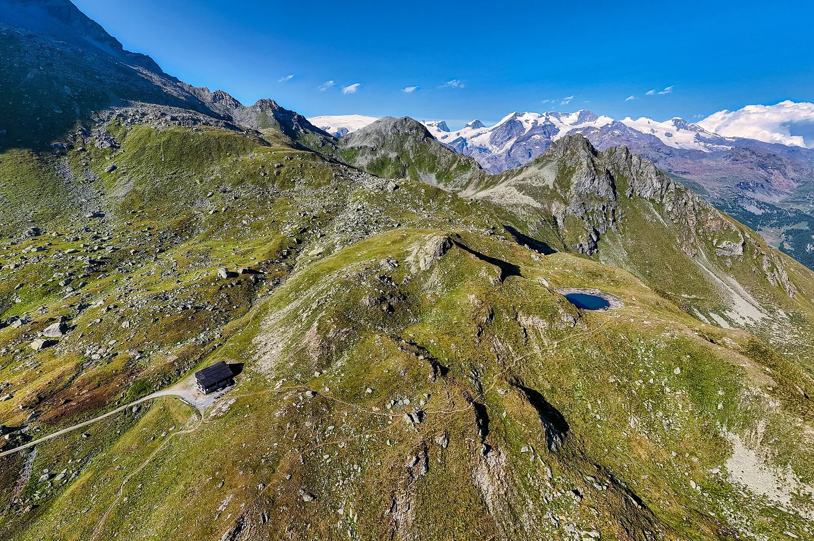
From Champoluc (1,569 m) to the Lacs Perrin (2,649 m) in the upper Ayas Valley: 6 km and 1,147 m of ascent to alpine lakes.

Val d'Ayas
2.1 km · +264 m · E — from Champoluc to Mandriou (Central Valley).
Val d'Ayas
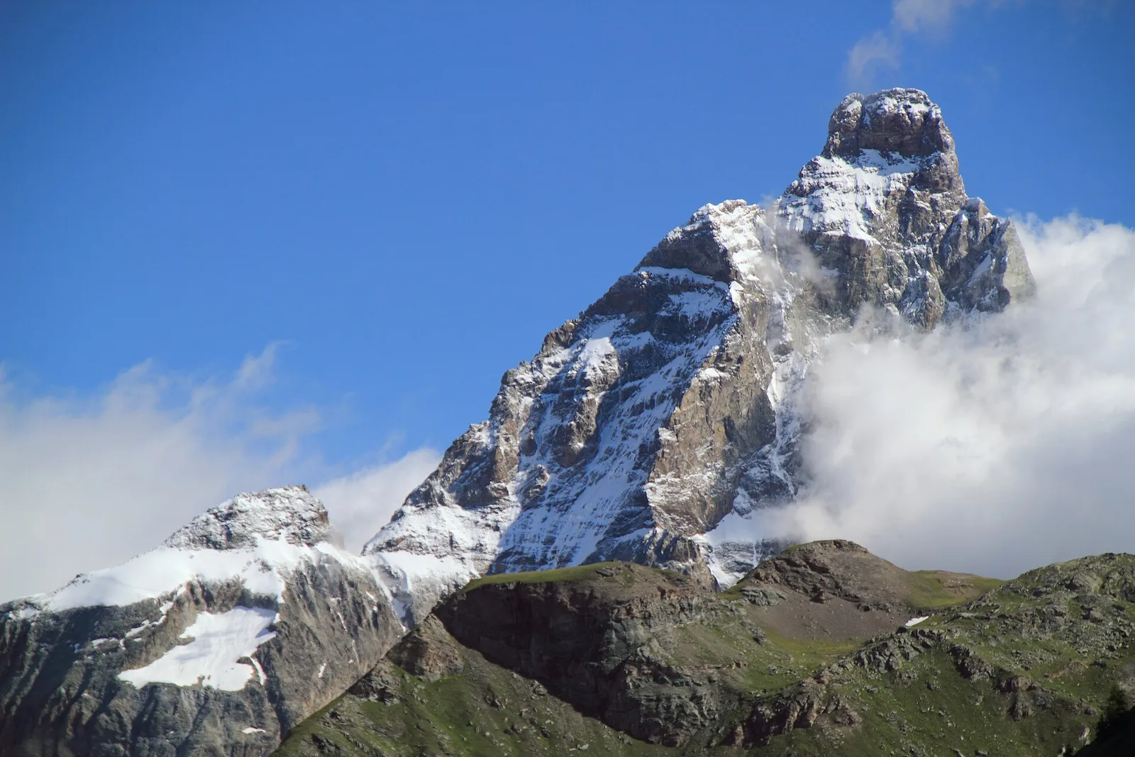
From Champoluc (1569m) to Testa Grigia (3315m): 8.2 km EEA — the Val d'Ayas summit on foot, full panorama over all Monte Rosa four-thousanders and the Matterhorn.
Val d'Ayas
53.5 km · +0 m · EE — from Pont-Suaz to Capoluogo (Cogne Valley).
Val d'Ayas
2.4 km · +458 m · E — from Col de Joux to Testa di Comagna (Valtournenche).
Val d'Ayas
4.4 km · +920 m · EEA — from Colle Bettaforca to Rifugio Quintino Sella (Lys Valley).
Val d'Ayas
2.7 km · +674 m · E — from Corbet to Alpe Boussolaz (Central Valley).
Val d'Ayas
Val d'Ayas: a climb toward a panoramic high-altitude objective over open terrain.
Val d'Ayas
2.8 km · +323 m · E — from Crest to Belvedere (Central Valley).
Val d'Ayas
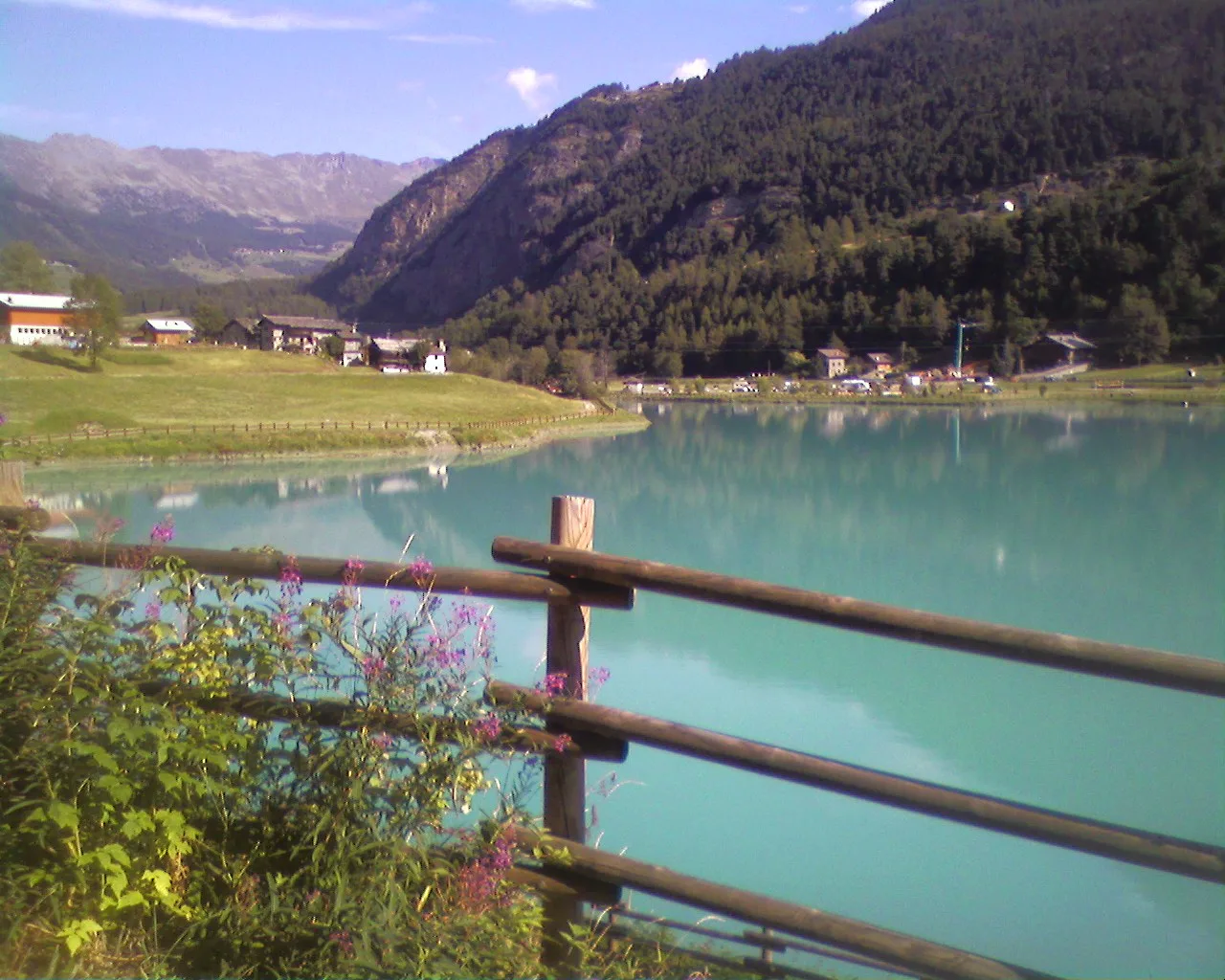
From Crest (1976 m) a short steady climb reaches Lac Chercherioz (2354 m), an alpine lake among meadows and rock in the commune of Avise.
Val d'Ayas
2.1 km · +0 m · E — from Crest to Mascognaz (Central Valley).
Val d'Ayas
A gentle walk from Champoluc to Alpe Résy with sweeping views of the Monte Rosa massif — perfect for families and easy-going mountain walkers.
Val d'Ayas
5.9 km · +1028 m · E — from X 1 e 2 to Col de Joux (Valtournenche).
Val d'Ayas
2.9 km · +0 m · E — from Erésaz to Abay (Great St Bernard Valley).

Val d'Ayas
0.7 km · +133 m · E — from Erésaz to Borna da Ghiasa (Great St Bernard Valley).
Val d'Ayas
0.4 km · +0 m · E — from Erésaz to Grand Hoel (Great St Bernard Valley).
Val d'Ayas
3.5 km · +223 m · E — from Erésaz to Grand Rhun (Great St Bernard Valley).
Val d'Ayas
0.9 km · +120 m · E — from Erésaz to Ravet (Great St Bernard Valley).
Val d'Ayas
1.2 km · +276 m · E — from Estaod (Montjovet) to Emarèse (Great St Bernard Valley).
Val d'Ayas
1.6 km · +255 m · E — from Fiéry to Résy (Central Valley).
Val d'Ayas
From Frachey (1620 m) to Col du Rothorn (2692 m): 5.7 km, +1094 m, exposed sections. Pass linking Val d'Ayas to Valle centrale. Expert hikers only. EE.

Val d'Ayas
1.5 km · +370 m · E — from Frachey to Varda (Central Valley).

Val d'Ayas
2 km · +441 m · T — from Pasquier to La Croix (Ayas Valley).

Val d'Ayas
2.8 km · +497 m · T — from Pasquier to La Croix (Ayas Valley).
Val d'Ayas
4.4 km · +110 m · T — from Col di Joux to Col Tzecore (Valtournenche).
Val d'Ayas
3.5 km · +0 m · E — from Grand Rhun to Erésaz (Great St Bernard Valley).
Val d'Ayas
6.7 km · +1050 m · EE — from Gressoney-la-Trinité to Passo del Rothorn (Salerfòrkò) (Lys Valley).

Val d'Ayas
2 km · +106 m · E — from Isollaz to Ponti Romani (Ayas Valley).
Val d'Ayas
Long ascent from La Manda (1493 m) to Col Palasina (2676 m) in Val d'Ayas. Sparse waymarking and open scree above the treeline. No huts en route.
Val d'Ayas
3.6 km · +312 m · E — from Bivio lago to Bivio lago (Ayas Valley).

Val d'Ayas
1.1 km · +260 m · E — from Lignod to Barmasc (Central Valley).
Val d'Ayas
1.6 km · +294 m · E — from Lignod to Incrocio Ru (Central Valley).
Val d'Ayas
In the Val d'Ayas, commune of Ayas: a steady E-rated climb toward a high-altitude objective on well-marked terrain.
Val d'Ayas
5.6 km · +793 m · E — from Lo Pian to Covarey (Parcheggio) (Central Valley).
Val d'Ayas
3 km · +259 m · E — from Mayn to Curien (Ayas Valley).
Val d'Ayas
6.5 km · +1049 m · E — from Mure to Boden (Central Valley).
Val d'Ayas
2 km · +282 m · E — from Nabian to Barmata (Ayas Valley).
Val d'Ayas
3.9 km · +1057 m · E — from Omens to Bec de l'Oie (Valtournenche).

Val d'Ayas
3 km · +493 m · E — from Orbeillaz to Col Tzecore (Ayas Valley).
Val d'Ayas
2.3 km · +160 m · E — from Orbeillaz to Pian Abelly (Ayas Valley).

Val d'Ayas
2.8 km · +257 m · E — from Piscotaz to Alpe Vardaz (Central Valley).

Val d'Ayas
3.1 km · +425 m · E — from Paysan to Miniere di Bechaz (Ayas Valley).
Val d'Ayas
1 km · +176 m · T — from Periasc to Antagnod (Central Valley).
Val d'Ayas
Upper Val d'Ayas, Brusson: a route toward a panoramic objective at high altitude.
Val d'Ayas
2.3 km · +307 m · E — from Capoluogo to Salomon (Ayas Valley).
Val d'Ayas
1.2 km · +160 m · E — from Pilaz to Fontaines de Goillaz (Ayas Valley).

Val d'Ayas
0.8 km · +156 m · E — from Pilaz to Magnéaz (Central Valley).
Val d'Ayas
From Pont de Messuere (1425m) to Corno Boussolaz (3023m) via Lago Bringuez: 6.4 km EE with 1593 m of ascent, one of Val d'Ayas's most demanding routes.

Val d'Ayas
2.6 km · +308 m · E — from Quinçod to Alésaz (Ayas Valley).

Val d'Ayas
4.7 km · +742 m · E — from Quinçod to Leuriaz (Ayas Valley).
Val d'Ayas
A short but steep climb from Résy to the small Résy lakes, on the high balcony of Val d'Ayas facing Monte Rosa.

Val d'Ayas
2.2 km · +586 m · EE — from Résy to Palon de Résy (Central Valley).
Val d'Ayas
2.1 km · +96 m · E — from Résy to Plan de Véraz (Central Valley).
Val d'Ayas
2.4 km · +464 m · EE — from Rifugio Grand Tournalin to Bec de Nannaz (Central Valley).
Val d'Ayas
2.7 km · +661 m · EE — from Rifugio Grand Tournalin to Petit Tournalin (Central Valley).
Val d'Ayas
In the Val d'Ayas, Ayas: a steady E-rated climb toward high altitude with views of Monte Rosa.
Val d'Ayas
1.4 km · +0 m · E — from Paysan to Casa fine poderale 29 (Ayas Valley).
Val d'Ayas
7.1 km · +917 m · E — from Saint-Clair to Gettaz (Valdigne).

Val d'Ayas
From Saint-Jacques (1700 m) to Col della Bettaforca (2672 m): a historic cross-border pass between Val d'Ayas and Valsesia. 5.1 km, +987 m, E.
Val d'Ayas
From Saint-Jacques, the last village of Val d'Ayas, a climb to Col de Nannaz at 2,770 metres, on the ridge dividing Ayas from the neighbouring valleys.
Val d'Ayas
From Saint-Jacques, the demanding EE route to Mont Roisetta climbs pastures, scree and high-mountain terrain in the Val d'Ayas, with views toward Monte Rosa.
Val d'Ayas
From Saint-Jacques (1700 m) toward the high ground of the Val d'Ayas: a route through alpine pastures with views of Monte Rosa.
Val d'Ayas
In the commune of Avise: an E-rated climb in a side valley toward a high-altitude lake.

Val d'Ayas
2.3 km · +283 m · E — from Sizan to Sant'Anna (Ayas Valley).

Val d'Ayas
1.9 km · +316 m · E — from Sizan to Col d'Arlaz (Ayas Valley).

Val d'Ayas
7.4 km · +1671 m · E — from Strada per Veulla to Mont Barbeston (Central Valley).

Val d'Ayas
In the commune of Brusson, Val d'Ayas: an E-rated route among hamlets and pastures on the sunny slope with panoramic views.
Val d'Ayas
From the Estoul road (1,884 m) via Lago Battaglia to the Corno Boussolaz summit (3,023 m): 7.9 km EE in Val d'Ayas.

Val d'Ayas
2 km · +370 m · E — from Strada Regionale to Arbaz (Ayas Valley).
Val d'Ayas
1.5 km · +367 m · T — from Strada Statale 26 to Croix de Saint-Gilles (Valtournenche).
Val d'Ayas
11.4 km · +1165 m · E — from Crest to Rifugio Grand Tournalin (Central Valley).
Val d'Ayas
9.1 km · +0 m · E — from Rifugio Grand Tournalin to Capoluogo (Central Valley).
Val d'Ayas
15.6 km · +0 m · E — from Challand-Saint-Victor to Saint-Vincent (Ayas Valley).
Val d'Ayas
12.3 km · +0 m · E — from Châtillon to Montjovet (Valdigne).

Val d'Ayas
5.1 km · +1030 m · E — from Eresaz to Tête de Comagne (Great St Bernard Valley).

Val d'Ayas
3.2 km · +288 m · E — from Tilly to Mayn (Ayas Valley).
Val d'Ayas
5.7 km · +1091 m · E — from Toffo (Montjovet) to Sommarèse (Great St Bernard Valley).
Val d'Ayas
2.5 km · +461 m · E — from Torille to Lac de Ville (Valtournenche).
Val d'Ayas
5.1 km · +1148 m · E — from Sommarèse to Tête de Comagne (Great St Bernard Valley).
Val d'Ayas
1.6 km · +382 m · E — from Valyre to Salirod (Valtournenche).

Val d'Ayas
3.3 km · +600 m · E — from Ponti Romani to Tron damon (Ayas Valley).
Val d'Ayas
5.3 km · +1303 m · EE — from Veulla to Col Varotta (Central Valley).

Val d'Ayas
0.5 km · +86 m · E — from — to — (Ayas Valley).
Val d'Ayas
1.5 km · +331 m · E — from Vollon (Brusson) to Salomon (Ayas Valley).