Champoluc - Col Palasinaz
6.9 km
+1115 m
−0 m
4.5 h
Nivel físico
Mapa y ruta
Traza GPX — verifica sobre el terreno antes de caminar
Descripción
Puntos clave
Salida
Champoluc · 1560 m
Llegada
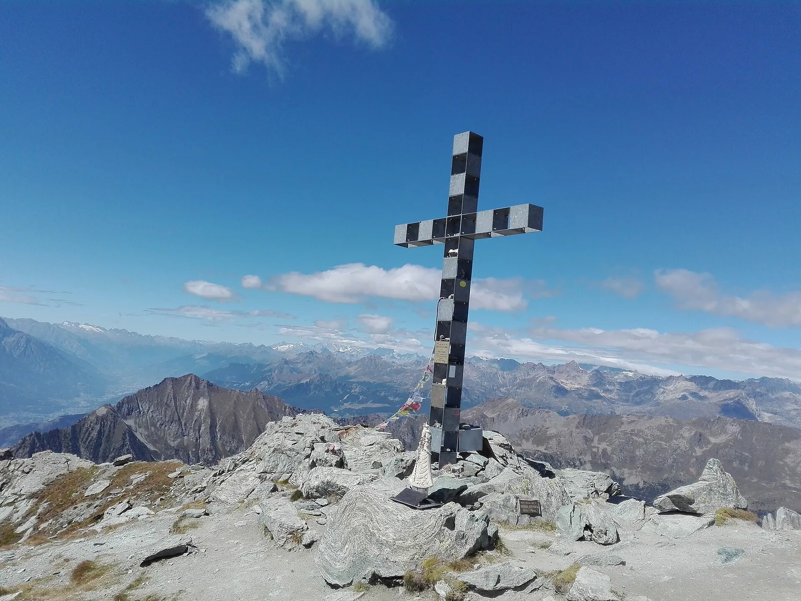
Col Palasinaz · 2680 m
Sendero
S47
The trail from Champoluc to Col Palasinaz is one of the most rewarding high passes in the Val d'Ayas, set against the spectacular backdrop of the Monte Rosa massif. Starting from Champoluc at 1560 m, the route climbs 1115 metres over 6.9 km through larch forests and alpine meadows. The gradient is sustained throughout, demanding a steady pace and good fitness. As altitude increases, the glaciated peaks of the Monte Rosa group come into full view to the west. The Col Palasinaz at 2680 m marks the watershed between Val d'Ayas and the Brusson valley, offering a sweeping panorama across both sides of this corner of eastern Aosta Valley. Rated E, the trail requires sturdy footwear and care on the steeper upper sections.
Aparcamiento
Galería de fotos
Photos are published immediately. JPG/PNG/WebP, max 6 MB.
Flora del sendero
Fauna que observar
AEditado y verificado por Andrea Rama
Fuente de datos: Catasto Sentieri Regione Autonoma VdA · Open data — DGR 899/2014
Última verificación:
Val d'Ayas
Senderos relacionados
Mismo valle o rutas similares — más excursiones por descubrir.

Val d'Ayas
Amponey - Becca Trecare
A demanding EE ascent from Amponey to Becca Trecare at 3032m — nearly 1500m of gain on varied terrain with sweeping summit views.

Val d'Ayas
Amponey - Alpe Mascognaz
1.8 km · +309 m · E — from Amponey to Alpe Mascognaz (Central Valley).

Val d'Ayas
Amponey - Bec de Nannaz
In the Val d'Ayas, Ayas: an E-rated climb toward a high-altitude objective through pastures and rock with views of Monte Rosa.

Val d'Ayas
Amponey - Mont Facebelle
In the Val d'Ayas, Ayas: an E/EE-rated climb toward a high-altitude objective in the alpine landscape.