E
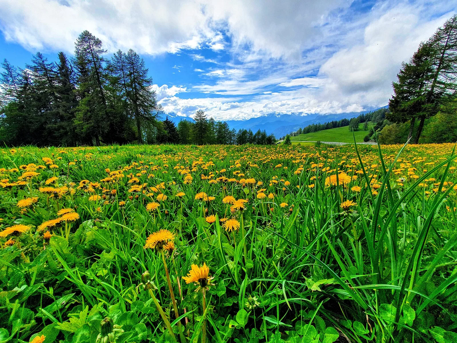
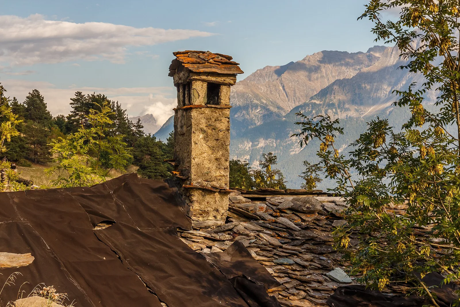
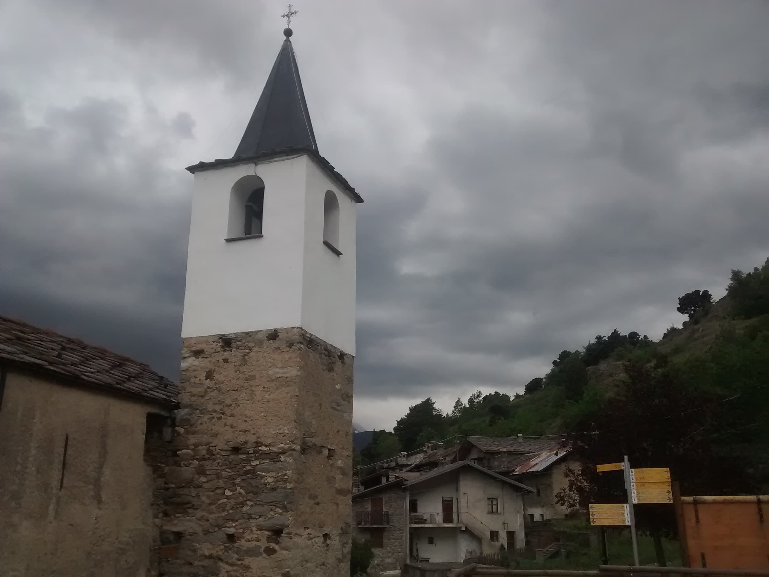
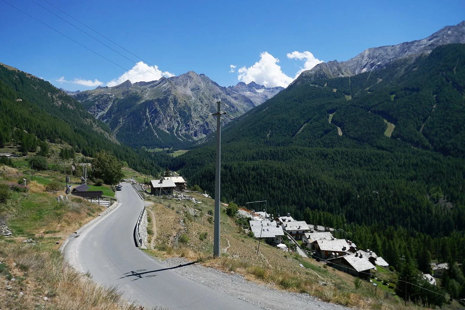
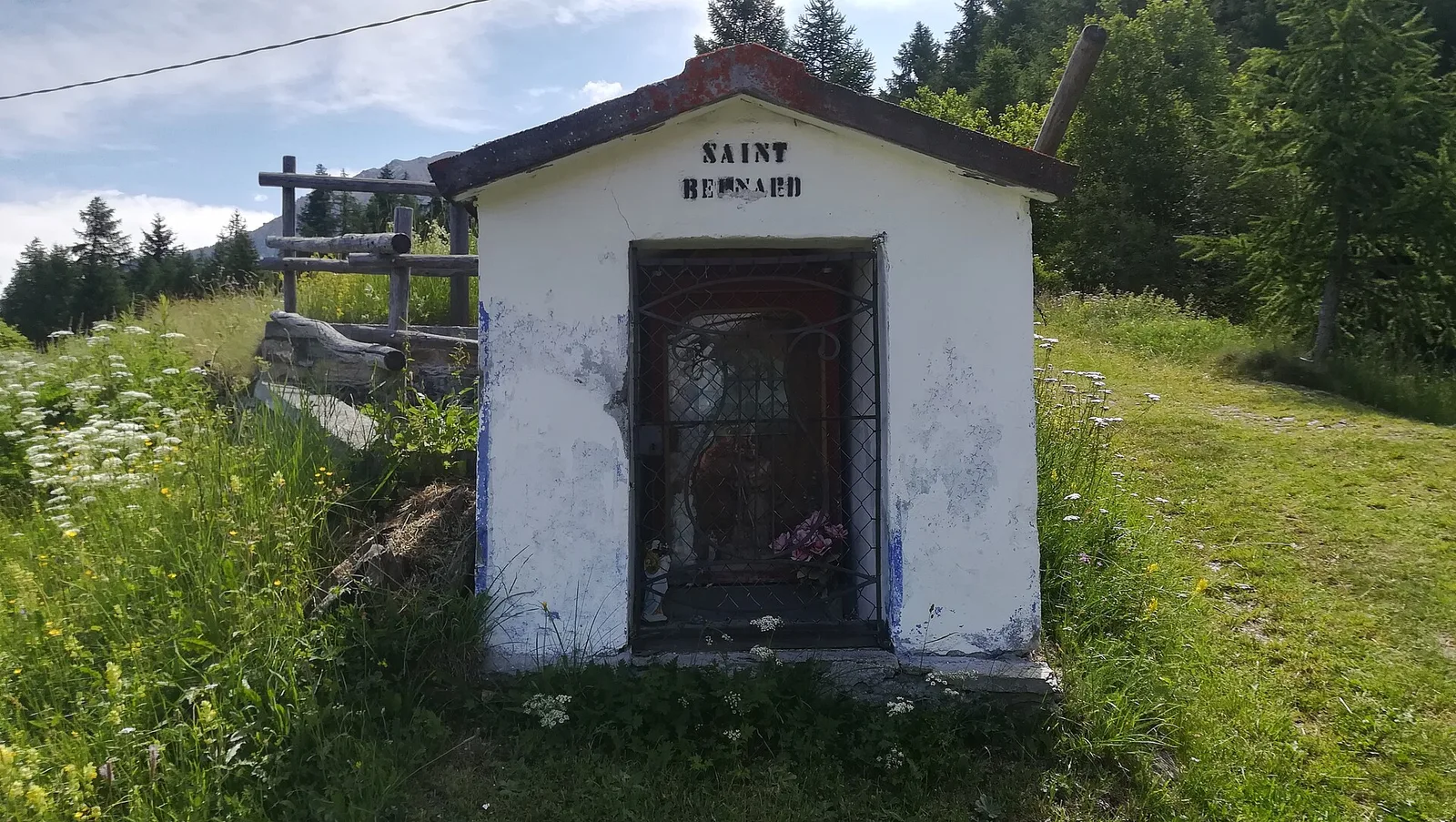
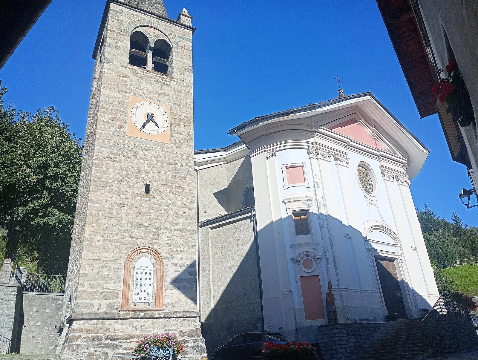
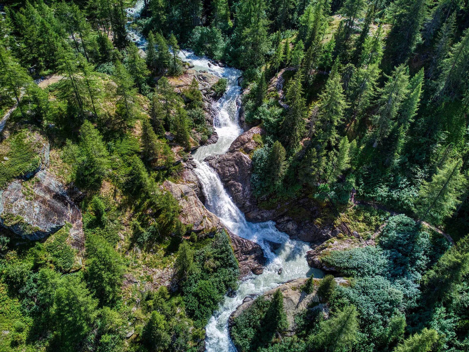
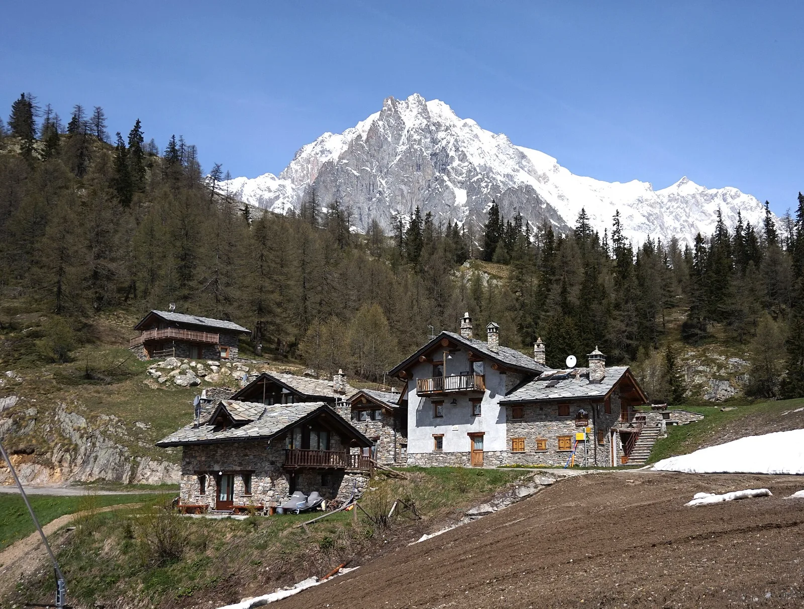
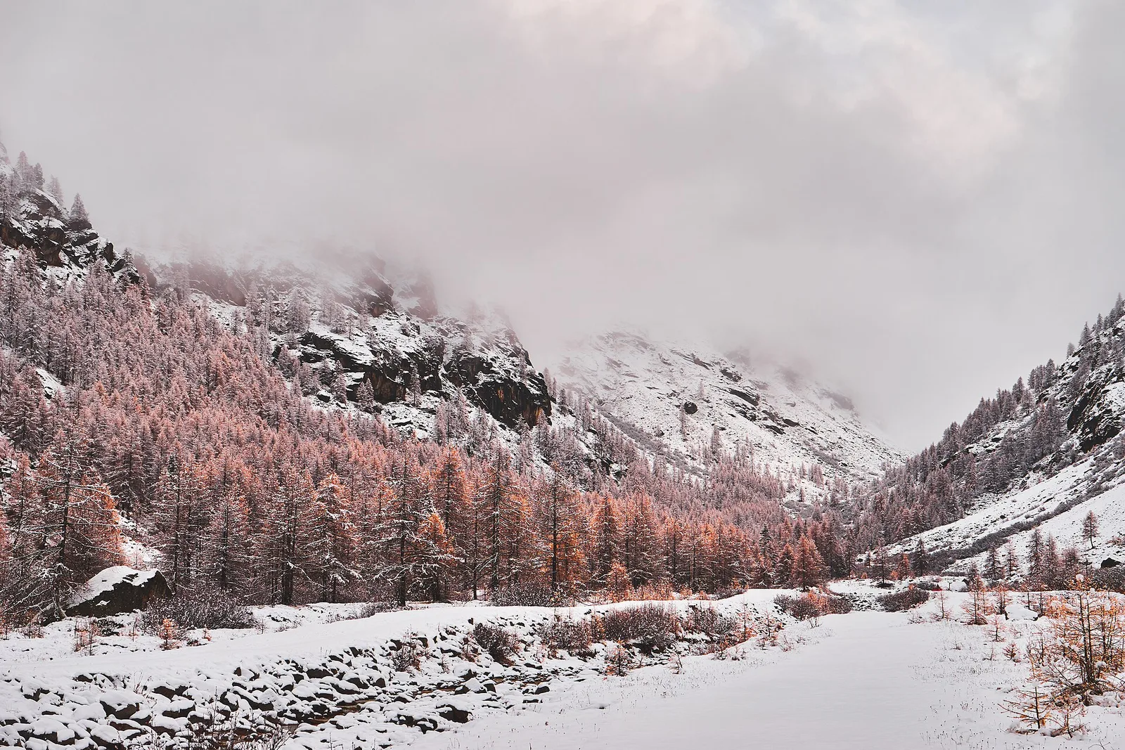
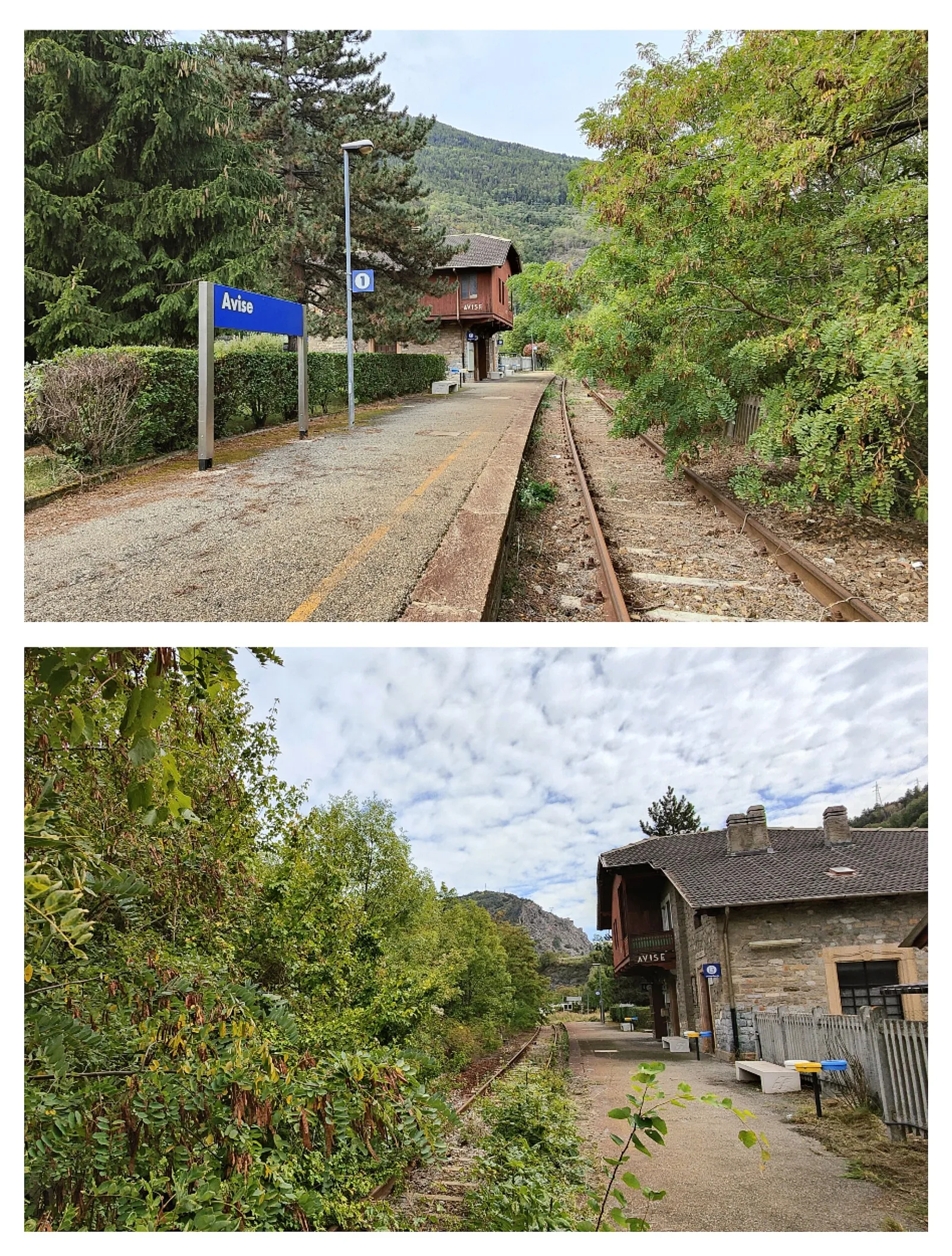
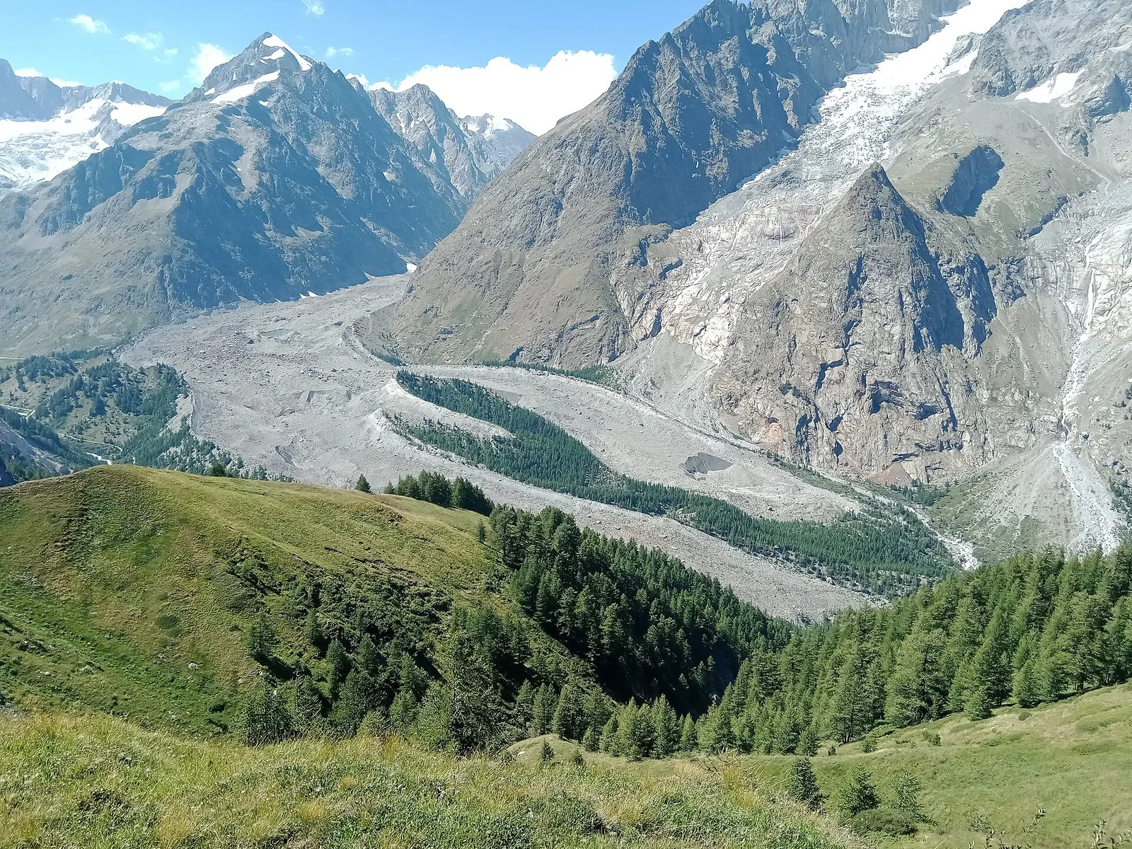
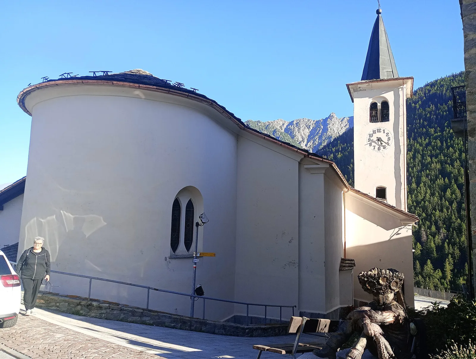
Val d'Ayas
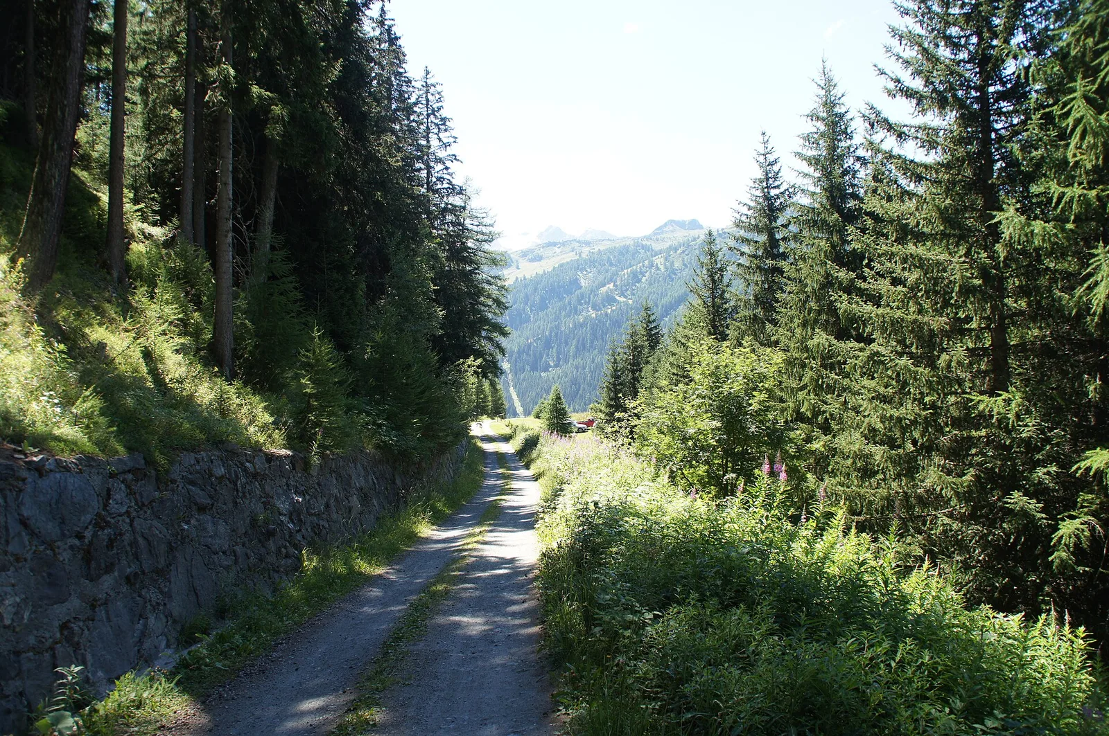
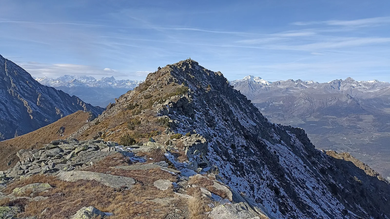
Arbaz - Tete de Comagne
3.8 km · +608 m · E — from Arbaz to Tete de Comagne (Ayas Valley).
3.8 km+608 m2.5 h
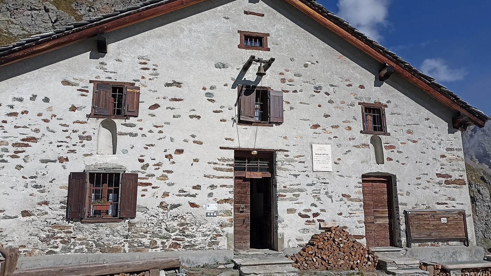
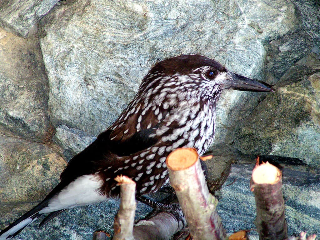
Where to spot
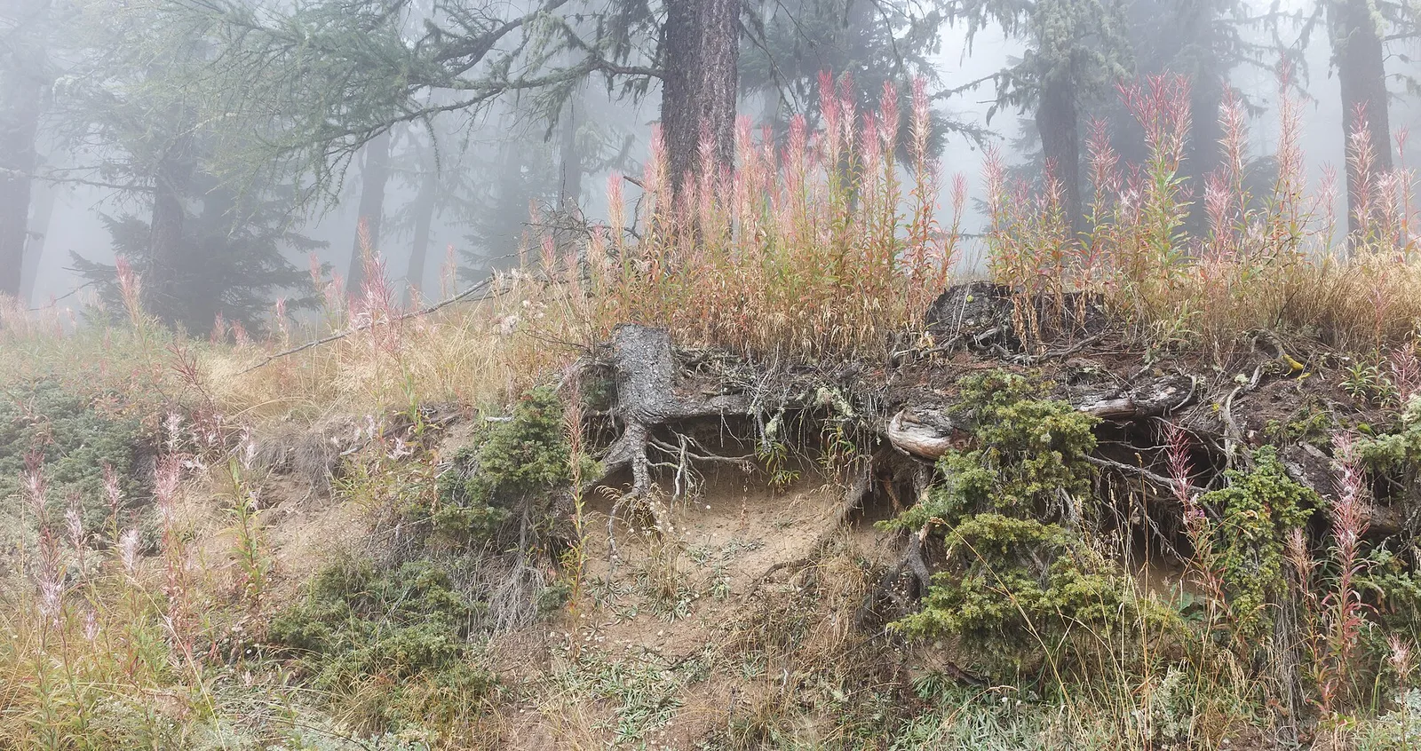
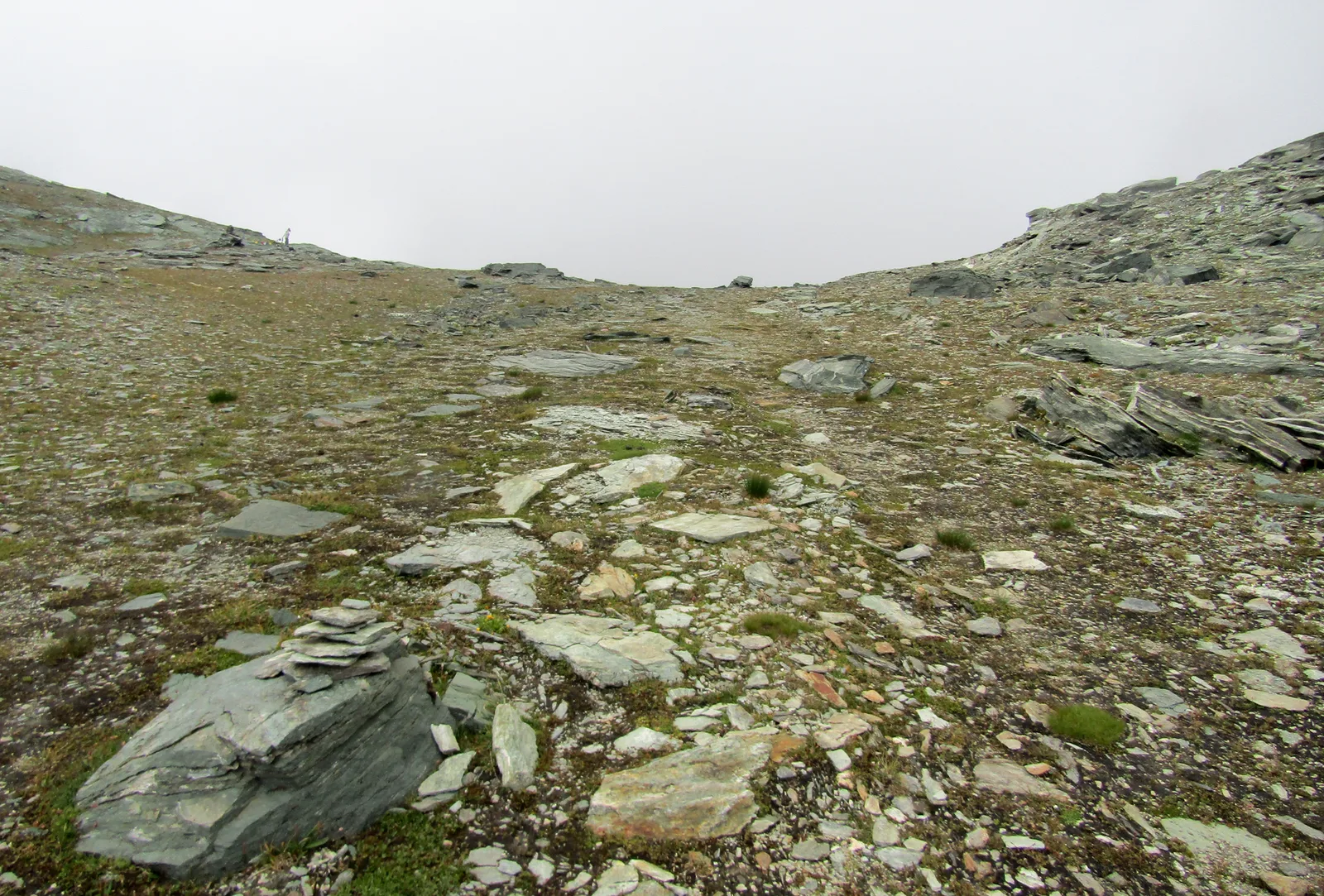
87 trails where Mountain avens dryad is listed in flora/fauna: difficulty T–EEA, elevation gain 0–1892 m.
87 · 0.6–34.4 km · +0–1892 m
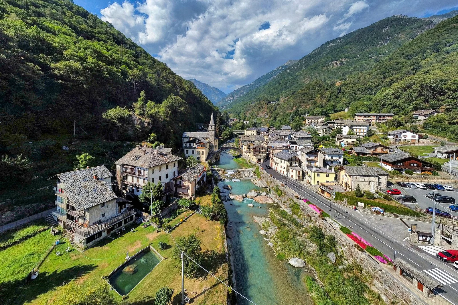
Val d'Ayas
3.8 km · +608 m · E — from Arbaz to Tete de Comagne (Ayas Valley).
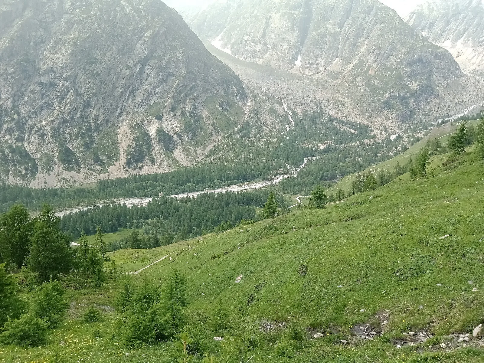
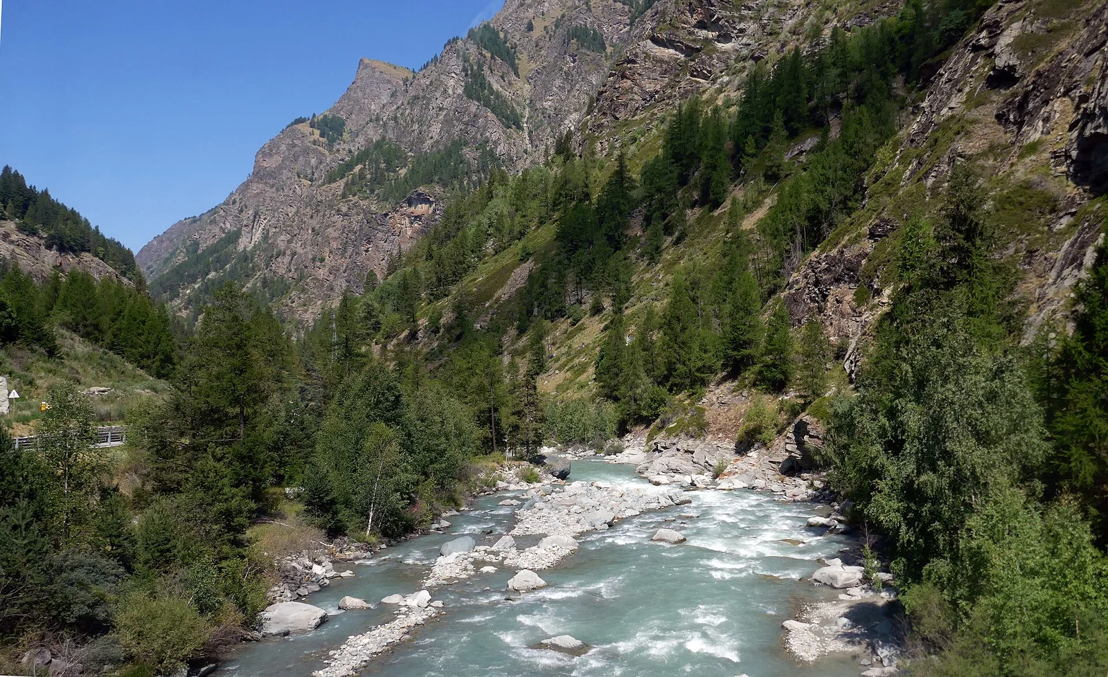
Val Ferret
6.8 km · +929 m · EE — from Arp-Nouva to Colle des Angrognettes (Great St Bernard Valley).
Val Ferret
2.8 km · +678 m · EE — from Arp.Nouva to Biv. Comino (Great St Bernard Valley).

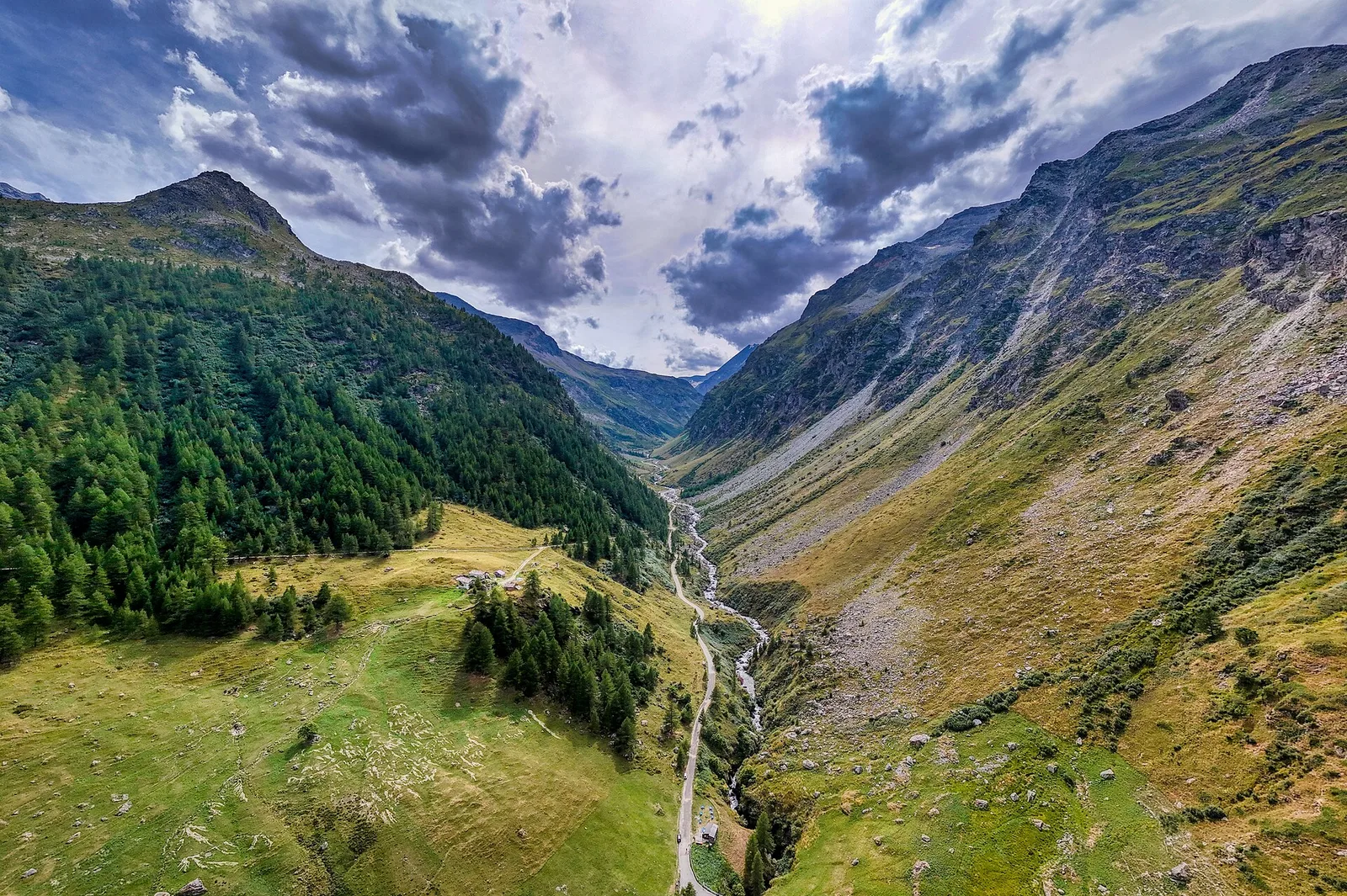
Valgrisenche
4.9 km · +705 m · E — from Bois de Grillet to Lago di San Grato (Valtournenche).
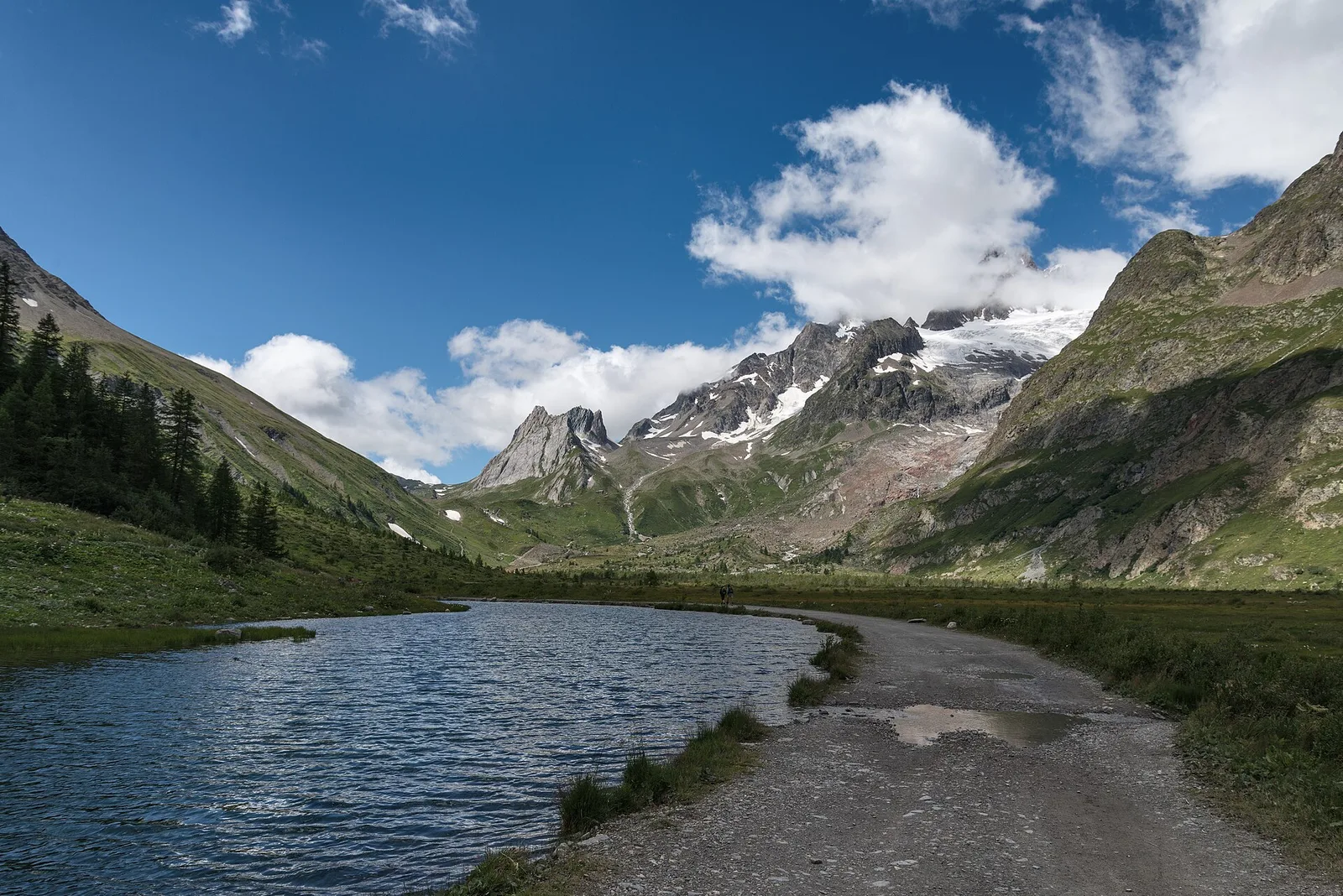
Val Veny
8.1 km · +1140 m · E — from Balme to Lac de la Platé (Rhêmes Valley).

Val d'Ayas
5 km · +1265 m · E — from Strada Barbustel to Mont Barbeston (Central Valley).

Valle centrale
7.9 km · +1473 m · E — from Bellecombe to Mont Barbeston (Valdigne).
Valle centrale
7.7 km · +1065 m · EE — from Bellon to Tsa de la Comba (Valgrisenche).
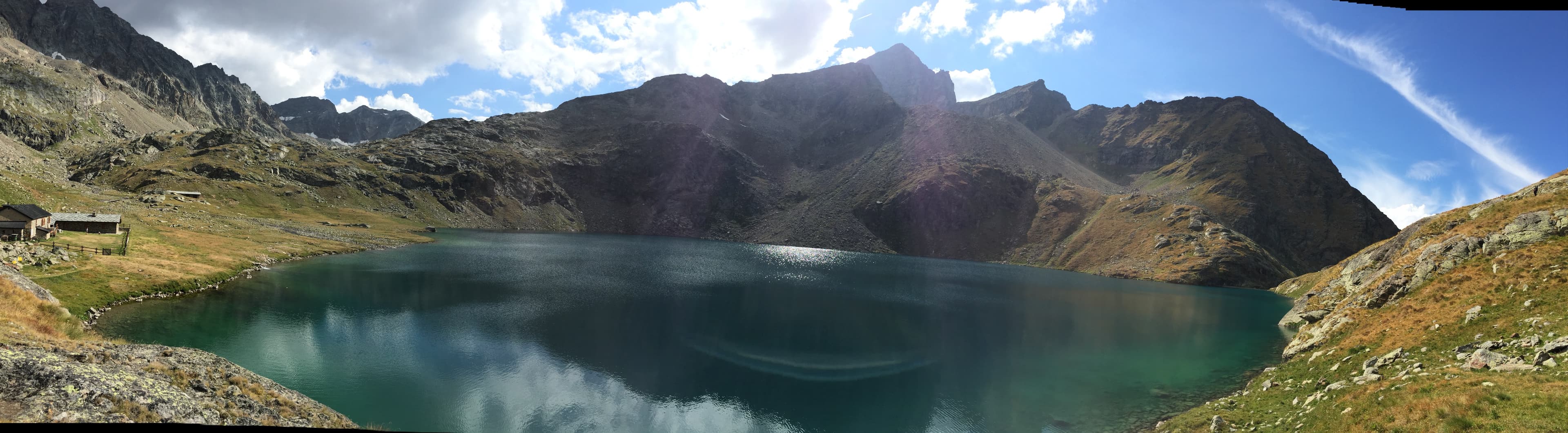
Val di Cogne
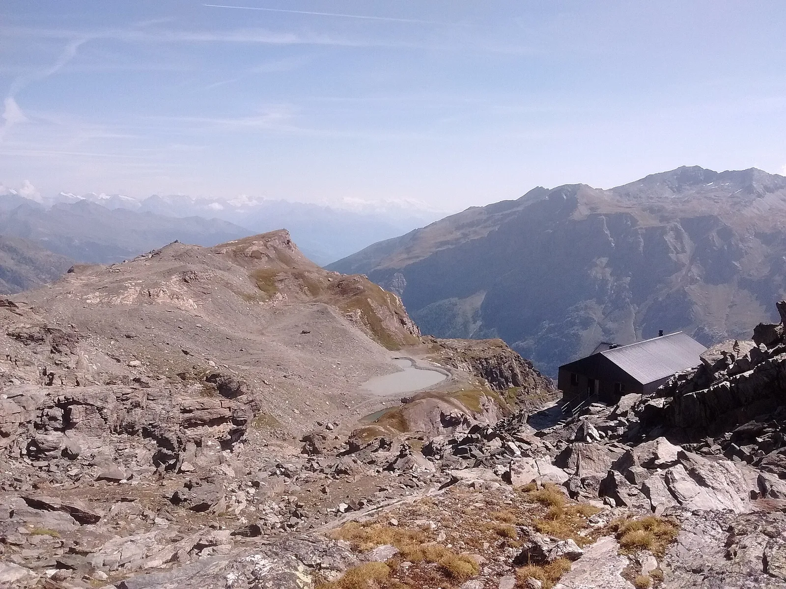
From Bivacco Menabreaz (2546 m) on the shores of Lago Les Laures, the EE route climbs to the Col d'Arbolle (3154 m), a remote pass in the Monte Emilius massif above Brissogne.
Valgrisenche
4.7 km · +534 m · E — from Bivio strada per Grand Alpe to Lac Saint-Grat (Valtournenche).
Valle del Gran San Bernardo
A short climb through alpine pastures to the Col Citrin (2487 m), a panoramic watershed facing Velan, Gelé and the Grand Combin.
Valle centrale
5.4 km · +1376 m · E — from Blavy to Becca di Viou (Valtournenche).
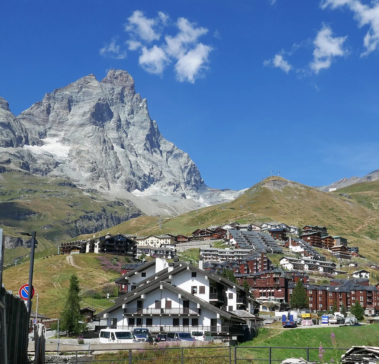
Valtournenche
1 km · +136 m · E — from Breuil to Cielo Alto (Central Valley).
Valle del Gran San Bernardo
2.8 km · +516 m · E — from Buthier to Alpe e Rifugio Chaligne (Central Valley).
Valle centrale
6.1 km · +1451 m · E — from Capoluogo to Becca d'Aver (Valsavarenche).
Valle centrale
0.6 km · +159 m · E — from Cerlogne to Vens (Central Valley).
Val di Cogne
5.1 km · +904 m · E — from Champlong to Taveronaz (Lys Valley).
Val d'Ayas
Upper Val d'Ayas: a route toward a panoramic high-altitude objective across open terrain.
Val d'Ayas
From Champoluc to Col Palasinaz (2680 m): a classic alpine pass linking Val d'Ayas and Brusson with sweeping Monte Rosa views.
Valtournenche
6.5 km · +813 m · EEA — from Châté to Becca d'Aver (Valpelline).

Valle centrale
2.5 km · +477 m · E — from Château to Morges (La Thuile).
Valpelline
Chez-Chenoux (1739 m) to Alpe Luseney (2478 m), Valpelline: short, steep ascent into a glacial cirque. 3 km, +775 m, E.
Valle centrale
7.2 km · +1539 m · EE — from Cloutraz to Col Giron (Valdigne).
Valle centrale
6.8 km · +1427 m · E — from Cloutraz to Mont Barbeston (Valdigne).
Val di Cogne
1.4 km · +246 m · E — from Cogne, capoluogo to Gimillan (Lys Valley).
Valle del Lys
34.4 km · +0 m · E — from Colle del Teodulo to Col d'Olen (Central Valley).
Valtournenche
8.8 km · +484 m · E — from Collet to Lago Tzan (Valpelline).
Valle centrale
11.4 km · +1892 m · E — from Crétaz to Becca d'Aver (Valsavarenche).
Valle centrale
6.6 km · +880 m · E — from Druges to Col de Crotey (Great St Bernard Valley).
Val di Cogne
5.7 km · +1085 m · E — from Epinel to Col du Drinc (Lys Valley).
Valle del Gran San Bernardo
5 km · +823 m · E — from Eternod to Mont Paglietta (Central Valley).

Valpelline
8.6 km · +1369 m · EE — from Etirol to Col de Fort (Valpelline).
Valle del Gran San Bernardo
4.6 km · +1164 m · E — from Capoluogo to Grande Tête (Great St Bernard Valley).
Valle del Gran San Bernardo
4.6 km · +1164 m · E — from Etroubles to Grande Tête (Central Valley).
Valle del Lys
2.8 km · +328 m · E — from Lago Gabiet to Passo Zube (Lys Valley).
La Thuile
8.3 km · +1070 m · E — from Joux to Rifugio Deffeyes (Lys Valley).
La Thuile
6.1 km · +889 m · E — from Joux to Rifugio Deffeyes (Lys Valley).
La Thuile
6.1 km · +1012 m · E — from La Thuile to Cappella di San Grato/Santa Margherita (Lys Valley).
La Thuile
8.9 km · +968 m · E — from La Thuile, Thovex to Rifugio Deffeyes (Lys Valley).
Valle del Lys
5.4 km · +1289 m · E — from Le Miriou to Monte Lose Bianche (Central Valley).
Val di Cogne
3.6 km · +828 m · E — from Lillaz to Grand Crot (Lys Valley).
Valgrisenche
7.6 km · +1124 m · E — from Menthieu to Lago San Grato (Valtournenche).
Valle centrale
8 km · +1466 m · E — from Miserègne to Ponton (Lys Valley).
Valle del Gran San Bernardo
7.1 km · +1179 m · E — from Morges, bivio strada per Planaval to Col Fetita (La Thuile).
Valle del Lys
3.7 km · +663 m · E — from Niel to Colle della Mologna Piccola (Great St Bernard Valley).
Valle del Lys
4.7 km · +1081 m · T — from Ondrò Verdebio to Colle Valdobbia (Champorcher Valley).
Val d'Ayas
3 km · +493 m · E — from Orbeillaz to Col Tzecore (Ayas Valley).
Valle di Champorcher
5.2 km · +796 m · E — from Outre l'Eve to Alpe Chenessy (Valtournenche).
Valle di Champorcher
6.9 km · +1248 m · E — from Outre l'Eve to Col Santanel (Valtournenche).
Val Veny
2.4 km · +379 m · E — from Plan Checrouit to Col Checrouit (Great St Bernard Valley).
Val Veny
1.2 km · +156 m · E — from Plan de Lognan to Jardin du Miage (Lac Vert) (Great St Bernard Valley).
Valtournenche
3.4 km · +700 m · E — from Plan Prorion to Becca d'Aver (Valpelline).

Valle del Gran San Bernardo
6.4 km · +850 m · E — from Planaval to Col Fetita (La Thuile).
Valsavarenche
6.3 km · +873 m · E — from Pont to Col du Grand- Collet (Ayas Valley).
Valsavarenche
3.7 km · +471 m · E — from Pont to Montcorvé (Ayas Valley).
Val Veny
2.9 km · +283 m · EE — from Pont Combal to Ghiacciaio del Miage quota 2260 (Great St Bernard Valley).
Val Veny
3.1 km · +235 m · E — from Pont Combal to Rifugio Elisabetta (Great St Bernard Valley).

Valpelline
6 km · +1217 m · E — from Ponte Vernosse to Col de L'Arpeyssaou (Lys Valley).
Valtournenche
4.4 km · +800 m · E — from Praz to Becca d'Aver (Valpelline).
Valle del Gran San Bernardo
4.8 km · +1156 m · E — from Prenoud to Grande Tête (Great St Bernard Valley).
Valle del Gran San Bernardo
6.2 km · +904 m · E — from Prenoud to Tête du Bois (Great St Bernard Valley).
Valtournenche
9.1 km · +1246 m · EE — from Promiod to Mont Tantané (Valdigne).
Valtournenche
6.6 km · +1143 m · E — from Promiod to Zerbion (Valdigne).
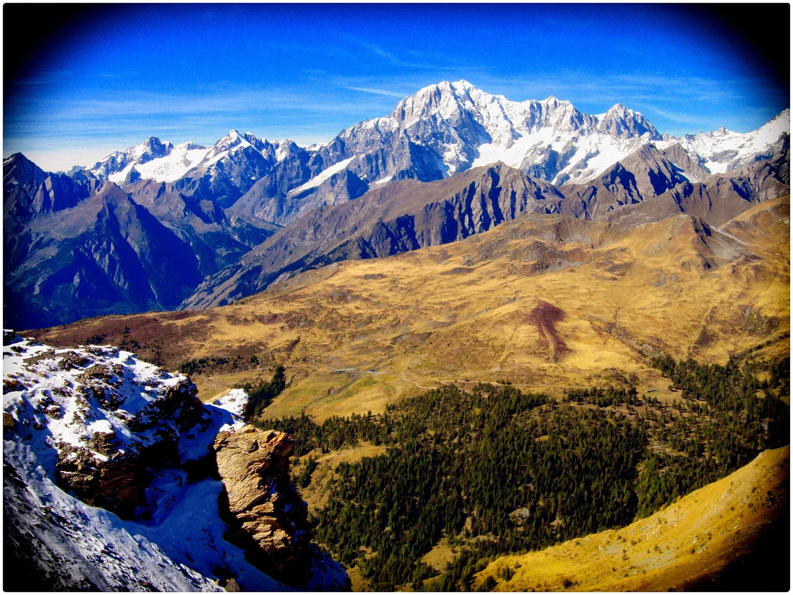
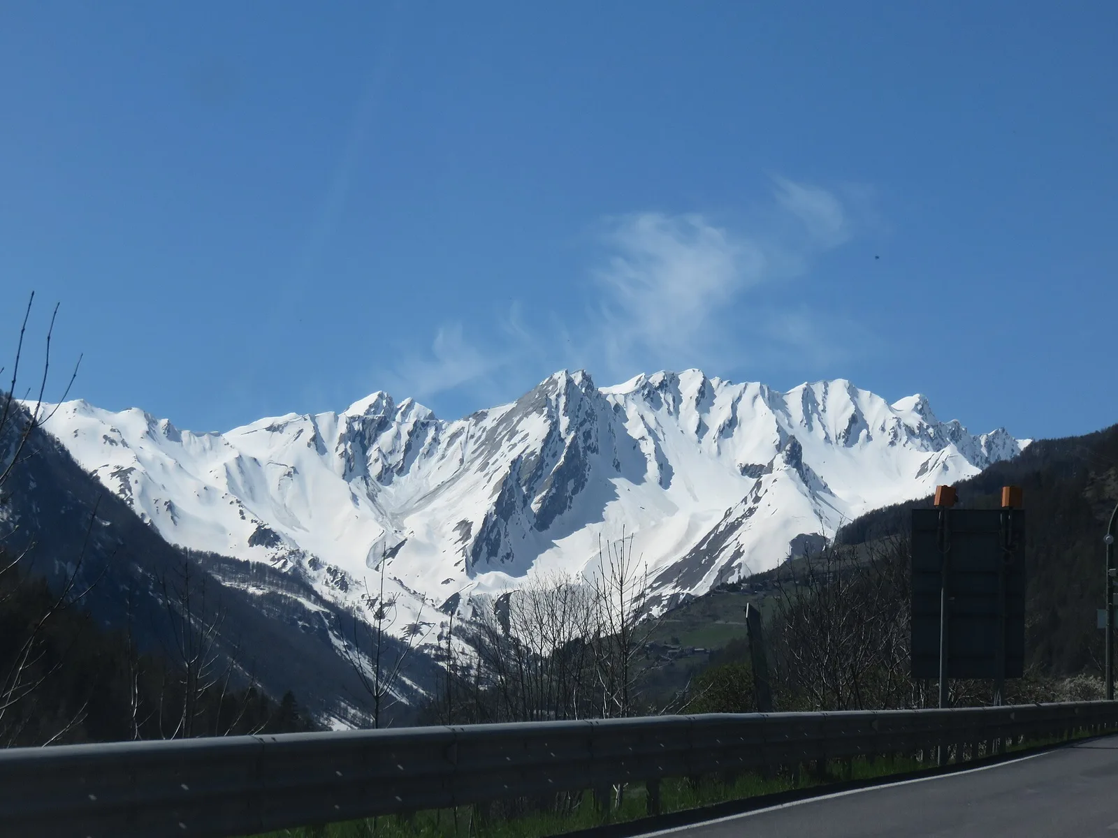
Valle centrale
In the Valdigne, La Salle: an E/EE-rated climb toward upper slope zones with views of Mont Blanc.
Valle del Gran San Bernardo
4.7 km · +1018 m · E — from Saint-Léonard to Col Citrin (Central Valley).
Valle del Gran San Bernardo
1 km · +250 m · E — from Saint-Oyen to Eternod (Great St Bernard Valley).
Valle del Gran San Bernardo
5.7 km · +1091 m · E — from Saint-Oyen to Mont Paglietta (Great St Bernard Valley).
Valle del Gran San Bernardo
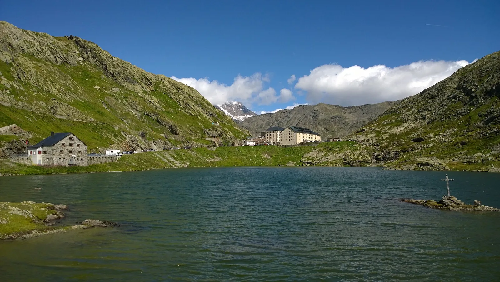
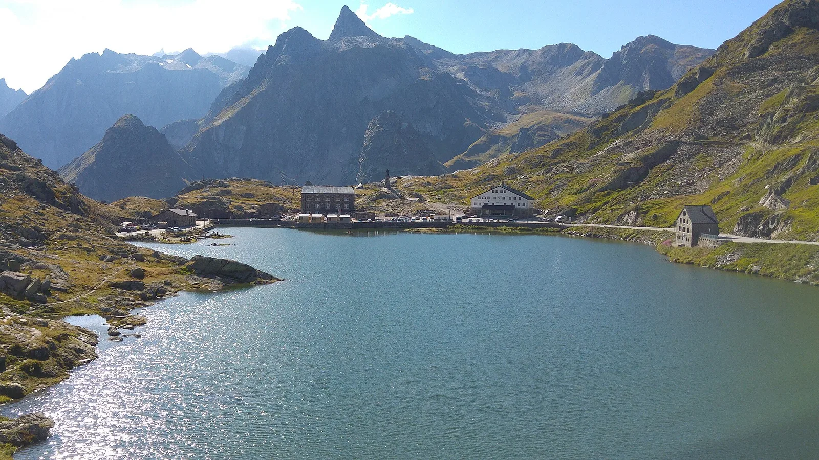
5.9 km · +837 m · E — from Saint-Rhémy to Colle del Gran San Bernardo (Central Valley).

Valle del Lys
8.6 km · +1187 m · E — from Steina to Passo del Maccagno (Champorcher Valley).
Valle del Lys
8.6 km · +1145 m · E — from Steina to Passo di Loo (Champorcher Valley).

Val d'Ayas
7.4 km · +1671 m · E — from Strada per Veulla to Mont Barbeston (Central Valley).
Valle centrale
3.8 km · +1059 m · E — from Strada per Lazey (presso Cretaz damon) to Mont Charvet (La Thuile).
Valle del Gran San Bernardo
6.7 km · +754 m · E — from Strada Statale 27, start str militare to Colle del Gran San Bernardo (Central Valley).

Valgrisenche
4.8 km · +582 m · E — from Surrier, bivio poderali to Rifugio Chalet de l'Epée (Valtournenche).
Val Veny
15.2 km · +1482 m · E — from Capoluogo to Rifugio Elisabetta (Great St Bernard Valley).
La Thuile
10 km · +1197 m · E — from Capoluogo to Rifugio Deffeyes (Lys Valley).
Valle centrale
16.4 km · +0 m · E — from Rifugio Deffeyes to Planaval (Lys Valley).
Valtournenche
4.7 km · +747 m · E — from Capoluogo to Rifugio Barmasse (Central Valley).
Valle del Gran San Bernardo
14.4 km · +0 m · E — from Colle del Gran San Bernardo to Echevennoz (Central Valley).

Valpelline
16.3 km · +1383 m · EE — from Rifugio Barmasse to Rifugio Cuney (Central Valley).
Valpelline
5.6 km · +1484 m · E — from Valpelline to Col Fouillou (Valtournenche).

Valpelline
6.1 km · +1467 m · E — from Montcorvé to Col Arpeyssaou, biv. La Lié (Valtournenche).
Valle di Champorcher
7.5 km · +1421 m · E — from Varesa to Lago di Leseney (Champorcher Valley).
Valle centrale
4.1 km · +1205 m · E — from Verrand to Mont Cormet (Rhêmes Valley).
Valle centrale
6.5 km · +1193 m · E — from Veulla to Mont Barbeston (Central Valley).
Valle centrale
10.7 km · +910 m · E — from Villair to Rifugio Bonatti (Great St Bernard Valley).
Valle centrale
3.4 km · +722 m · E — from Villair to Rifugio Bertone, tavola di orientamento (Great St Bernard Valley).