TAPPA 01: Courmayeur - Rifugio Elisabetta
 1 / 2
1 / 215.2 km
+1482 m
−0 m
7.5 h
Nivel físico
Mapa y ruta
Traza GPX — verifica sobre el terreno antes de caminar
Descripción
Puntos clave
Salida
Capoluogo · 1200 m
Llegada
Rifugio Elisabetta · 2152 m
Sendero
S1
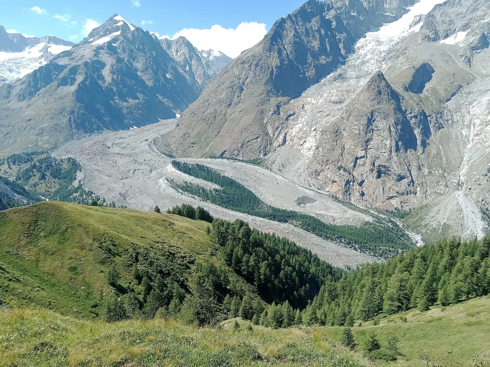
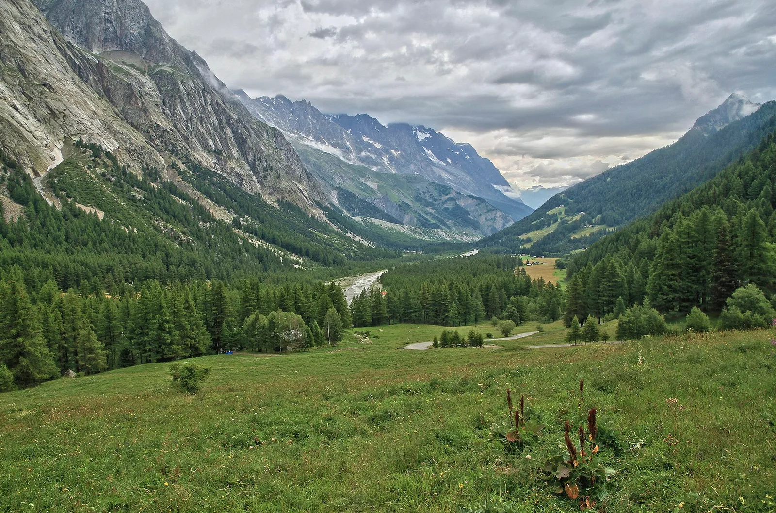
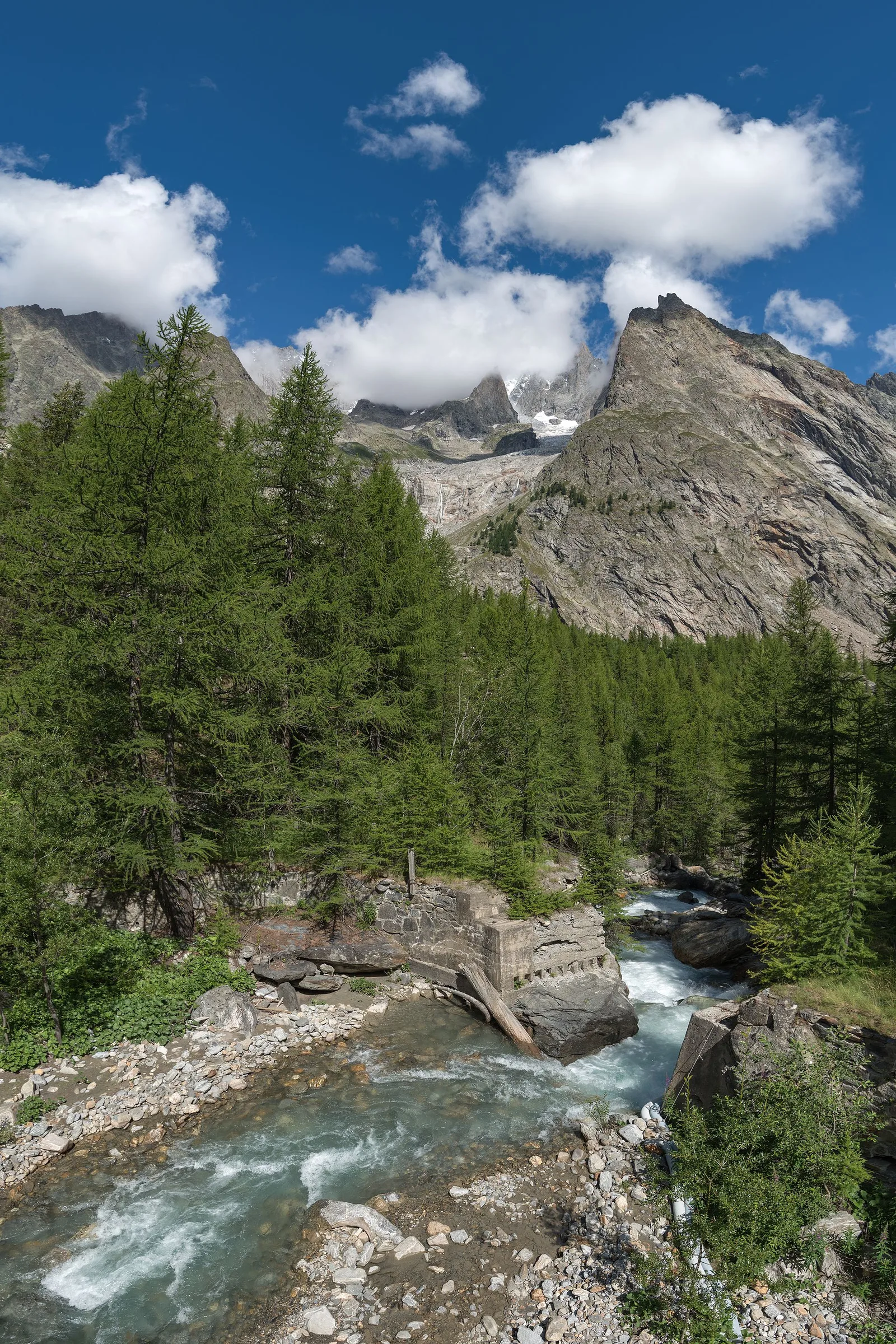
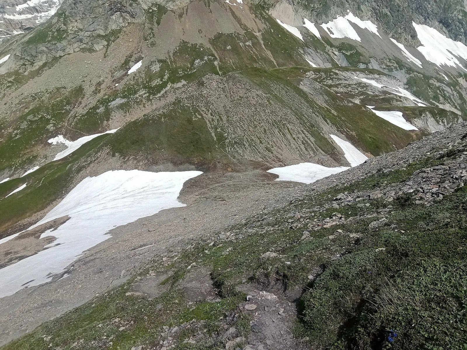
TAPPA 01: Courmayeur - Rifugio Elisabetta is an official trail from the Aosta Valley trail registry (code AV2_S1). The route lies in the municipality of Doues, in the Great St Bernard Valley. From Capoluogo (1200 m) to Rifugio Elisabetta (2152 m): 15.2 km with +1482 m of elevation change, difficulty E (CAI scale). Minimum elevation 1200 m, maximum 2152 m. Recommended season per registry: luglio-settembre (months 7, 8, 9). GPX track and elevation data from Regione Autonoma Valle d'Aosta (open data DGR 899/2014).
Aparcamiento
Refugios y vivacs
Galería de fotos
Photos are published immediately. JPG/PNG/WebP, max 6 MB.
Flora del sendero
Fauna que observar
AEditado y verificado por Andrea Rama
Fuente de datos: Catasto Sentieri Regione Autonoma VdA · Open data — DGR 899/2014
Última verificación:
Val Veny
Senderos relacionados
Mismo valle o rutas similares — más excursiones por descubrir.
Val Veny
Area pic-nic Plan Veny - Lac du Breuillat
3.6 km · +420 m · E — from Area pic-nic Plan Veny to Lac du Breuillat (Great St Bernard Valley).
Val Veny
Area pic-nic Plan Veny - Rifugio Monzino
3.4 km · +997 m · EEA — from Area pic-nic Plan Veny to Rifugio Monzino (Great St Bernard Valley).
Val Veny
Balme - Col d'Arp
8.2 km · +1265 m · E — from Balme to Col d'Arp (Rhêmes Valley).
Val Veny
Balme - Col du Berrio Blanc
11 km · +1555 m · E — from Balme to Col du Berrio Blanc (Rhêmes Valley).