E
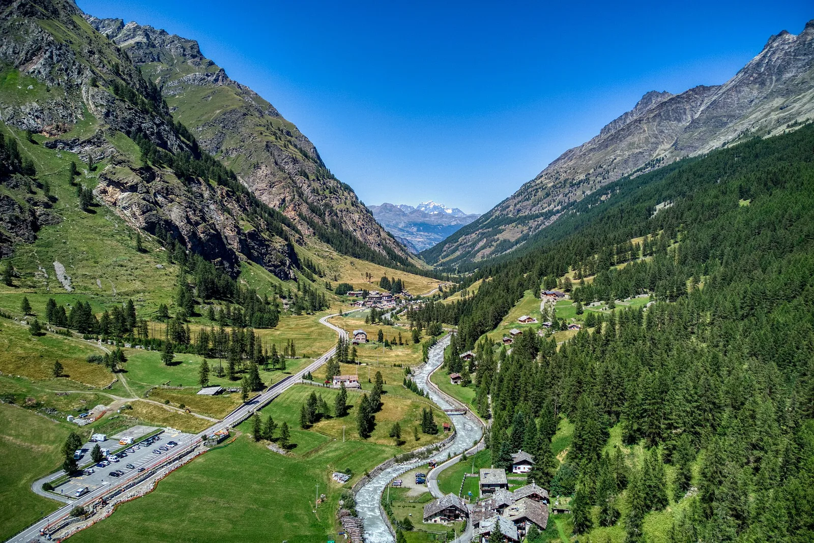
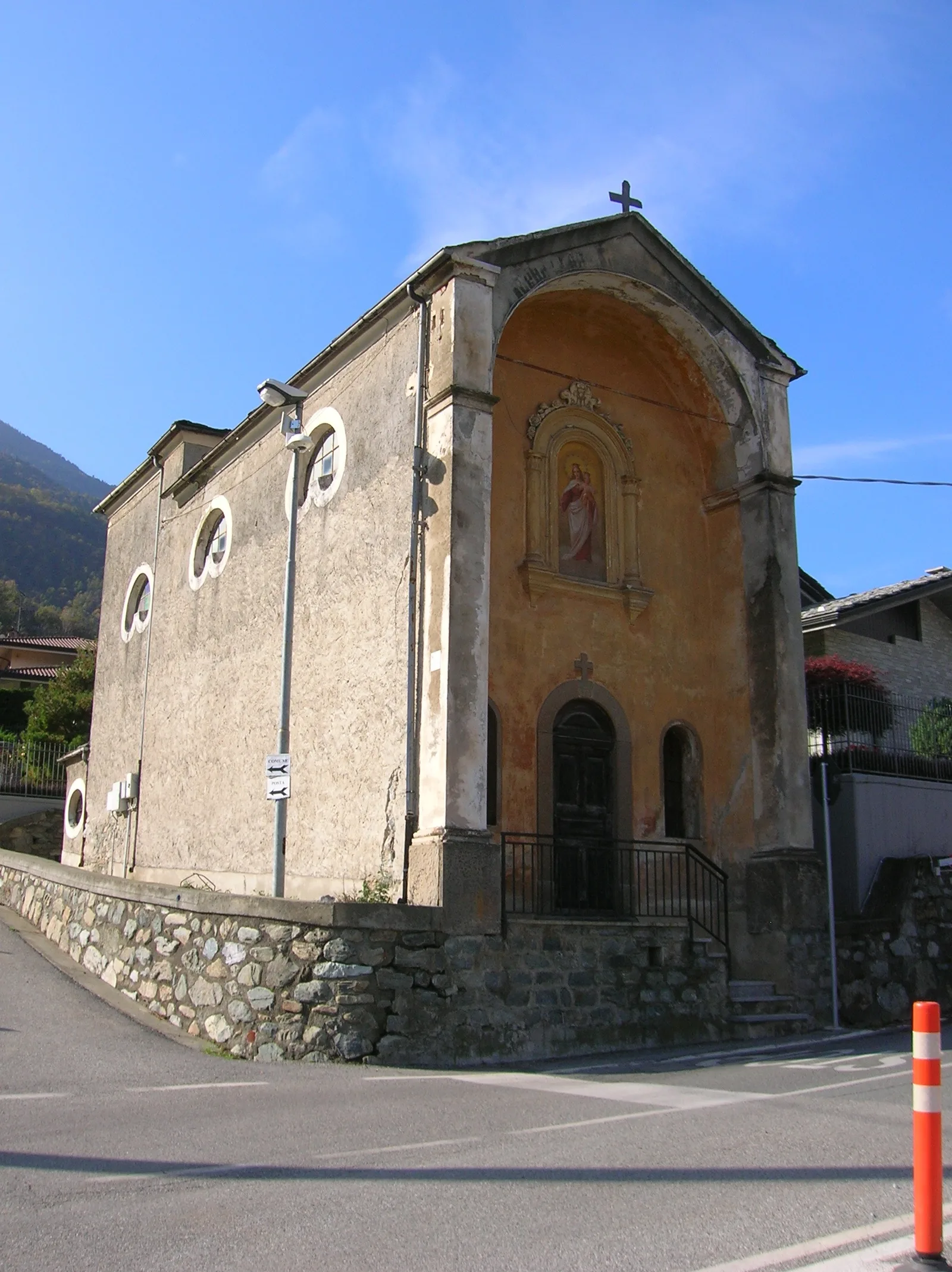
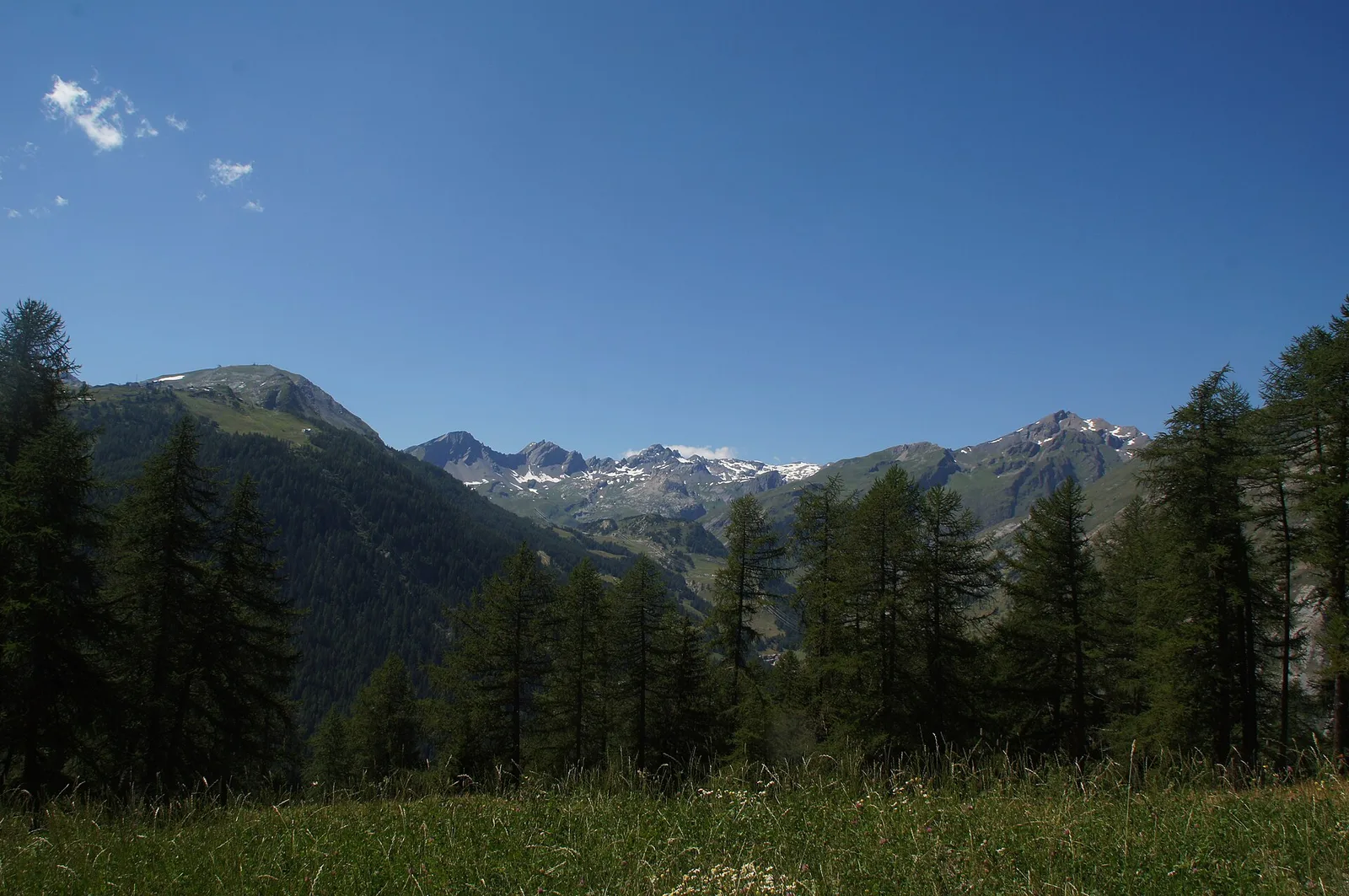
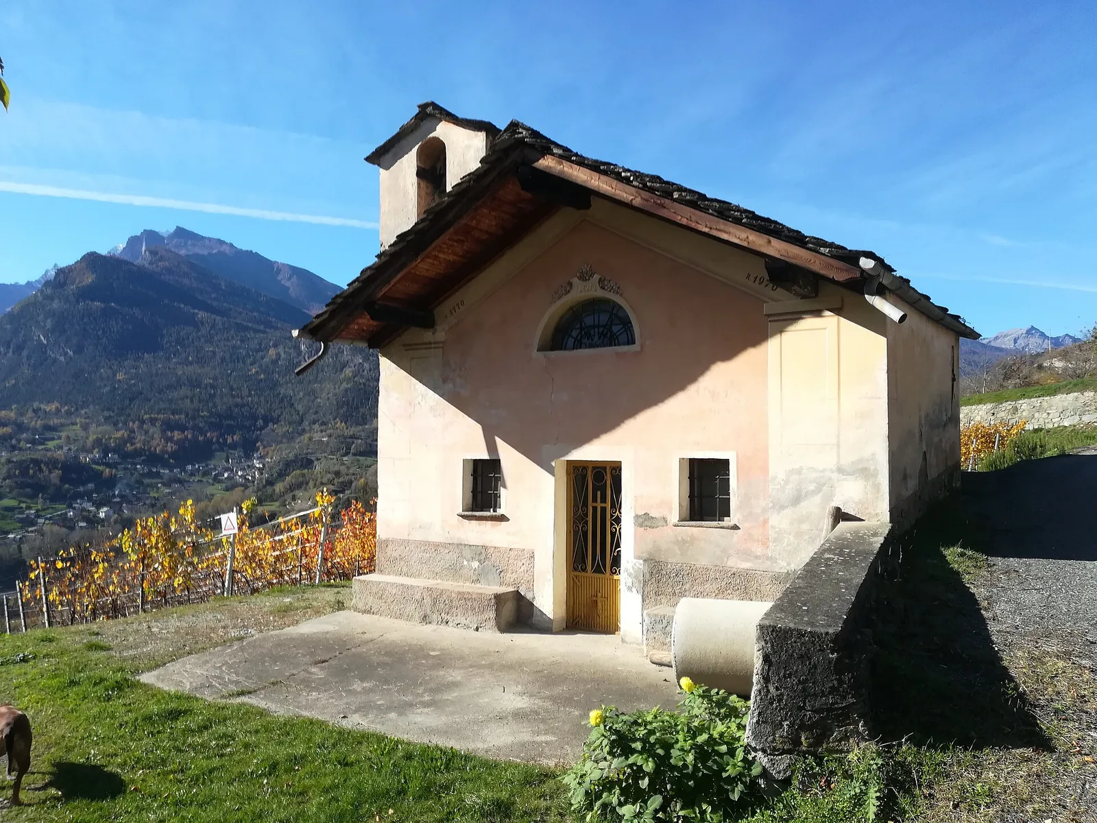
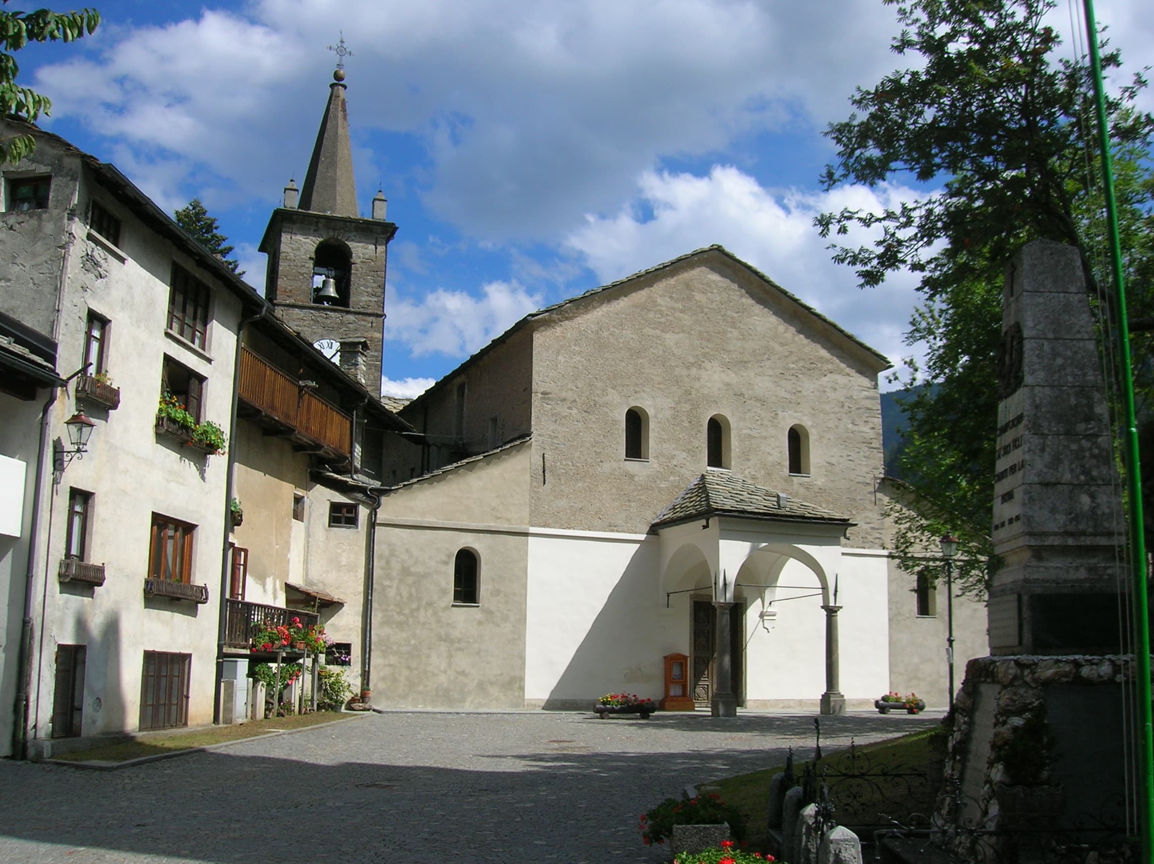
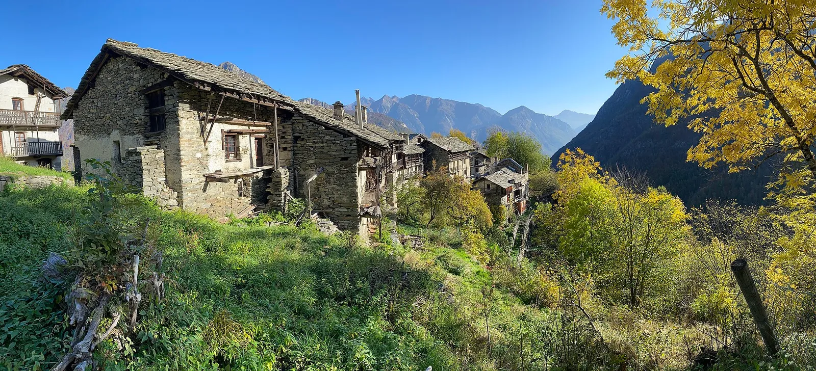
Valgrisenche
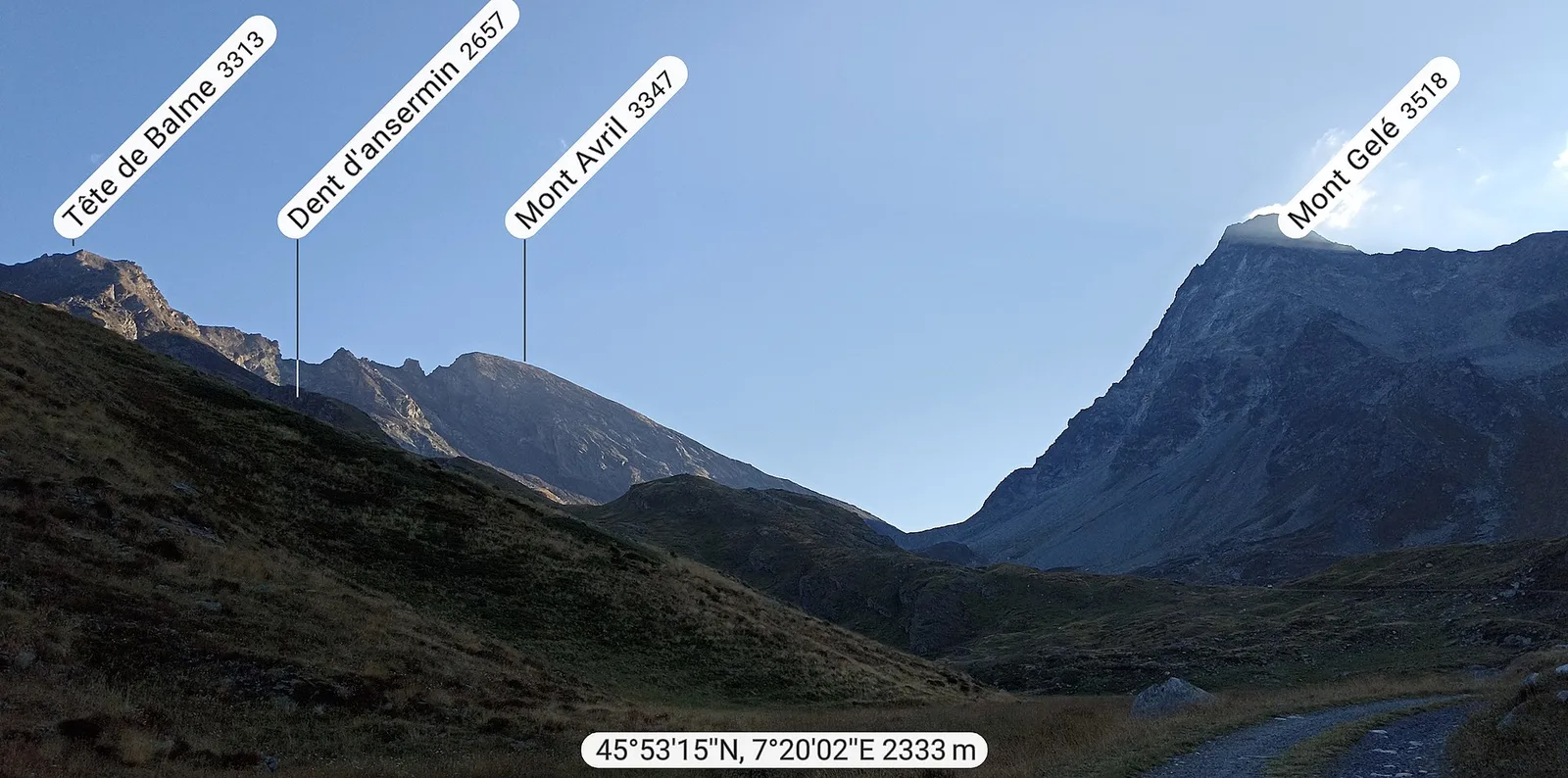
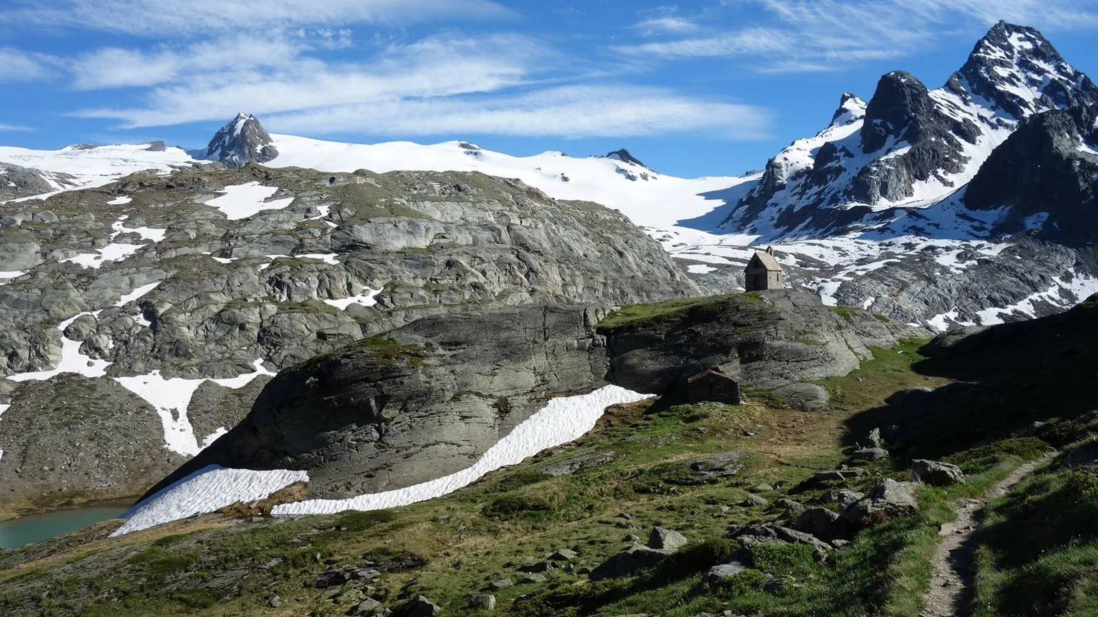
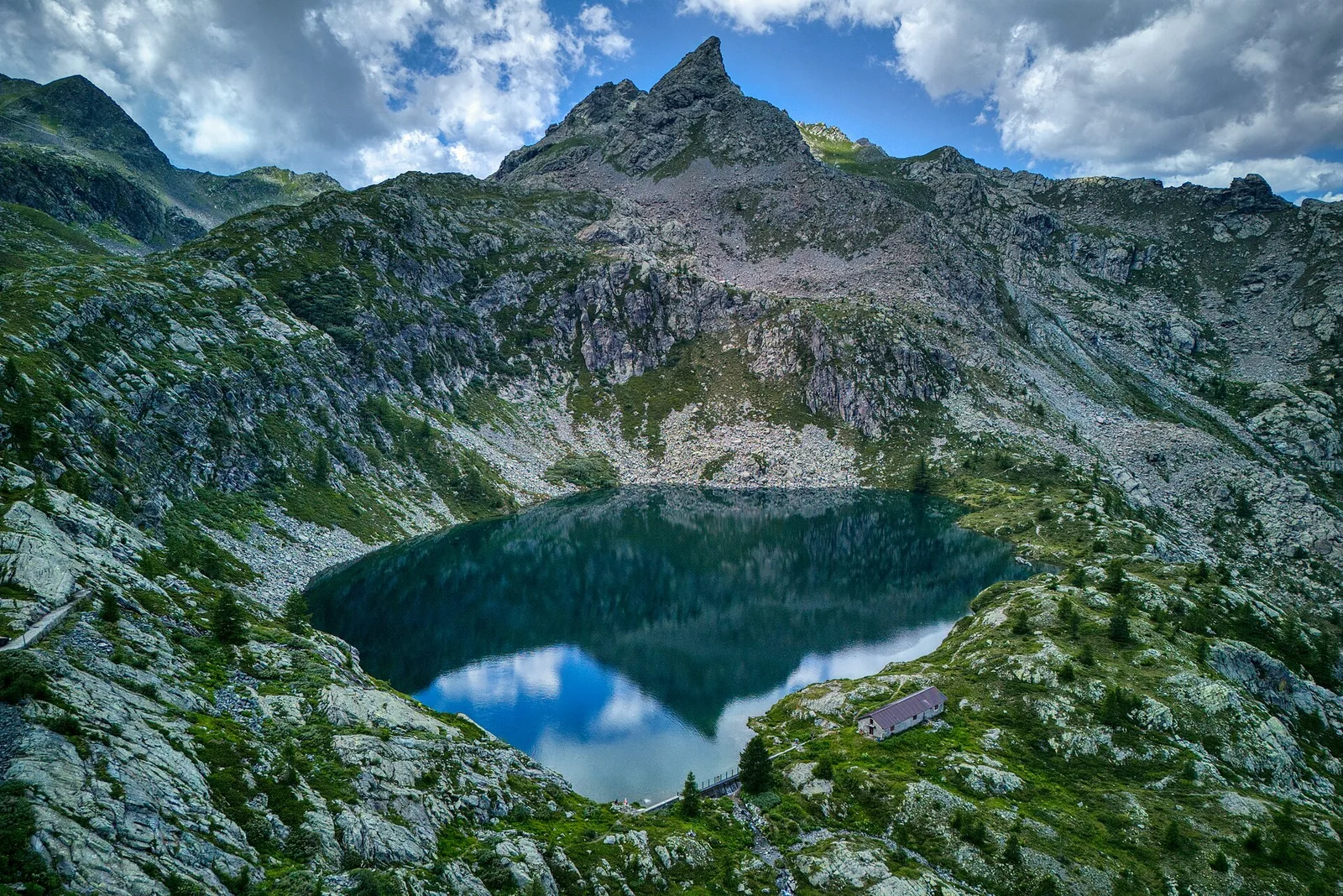
Bruil - Col Fenêtre de Torrent
4.4 km · +1118 m · E — from Bruil to Col Fenêtre de Torrent (Great St Bernard Valley).
4.4 km+1118 m4 h
Where to spot
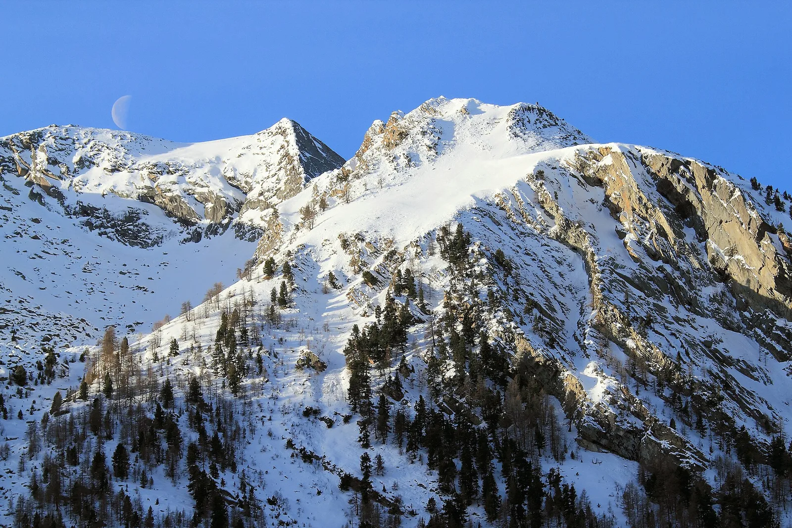
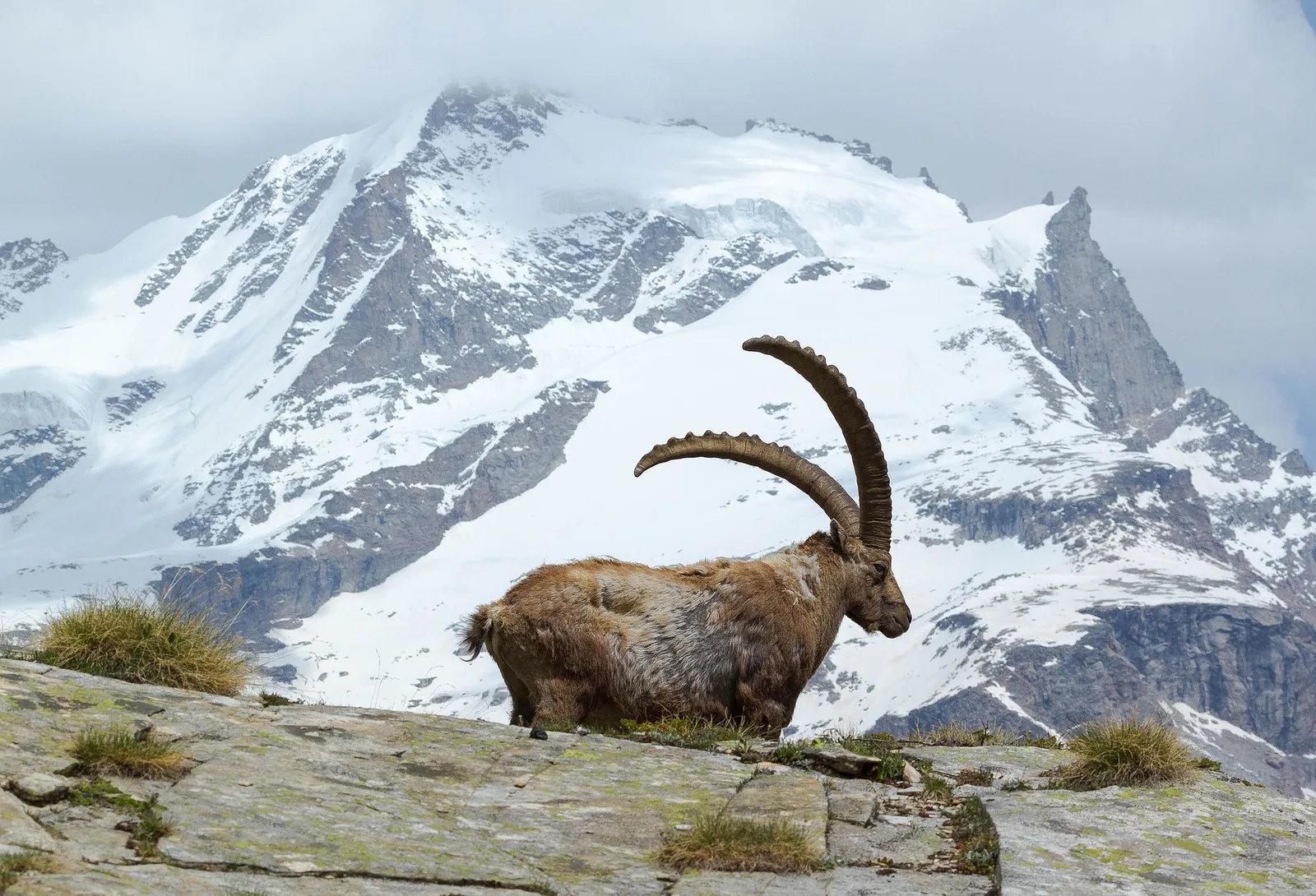
36 trails where Viviparous lizard is listed in flora/fauna: difficulty E–EE, elevation gain 0–1662 m.
36 · 2.0–15.2 km · +0–1662 m
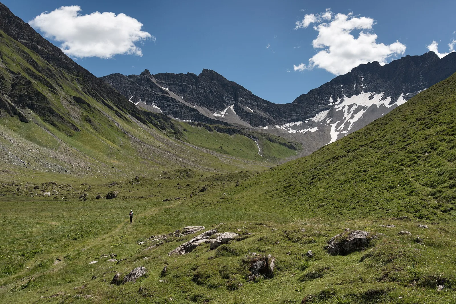
Valgrisenche
4.4 km · +1118 m · E — from Bruil to Col Fenêtre de Torrent (Great St Bernard Valley).
Val di Cogne
2.8 km · +391 m · E — from Champlong to Montroz (Lys Valley).
Valle centrale
5.2 km · +959 m · E — from Via Chanoux to Promiod (Valdigne).
Valtournenche
5 km · +1299 m · EE — from Parcheggio Cheneil to Mont Roisetta (Central Valley).
Valle centrale
6 km · +1256 m · E — from Clapey to Alpe Valmeriana (Valdigne).
Valle centrale
6.8 km · +0 m · E — from Cloutraz to Bellecombe (Valdigne).
Bassa Valle
3.3 km · +921 m · E — from Collaré to Mont de Beuby (Central Valley).
Valle centrale
4.9 km · +831 m · E — from Cré to Croix de Bouque (Lys Valley).
Valpelline
4.8 km · +1037 m · E — from Glacier to Bivacco Regondi (Valpelline).
Valle del Lys
9 km · +1662 m · E — from Isollaz to Col Dondeuil (Ayas Valley).
Valle centrale
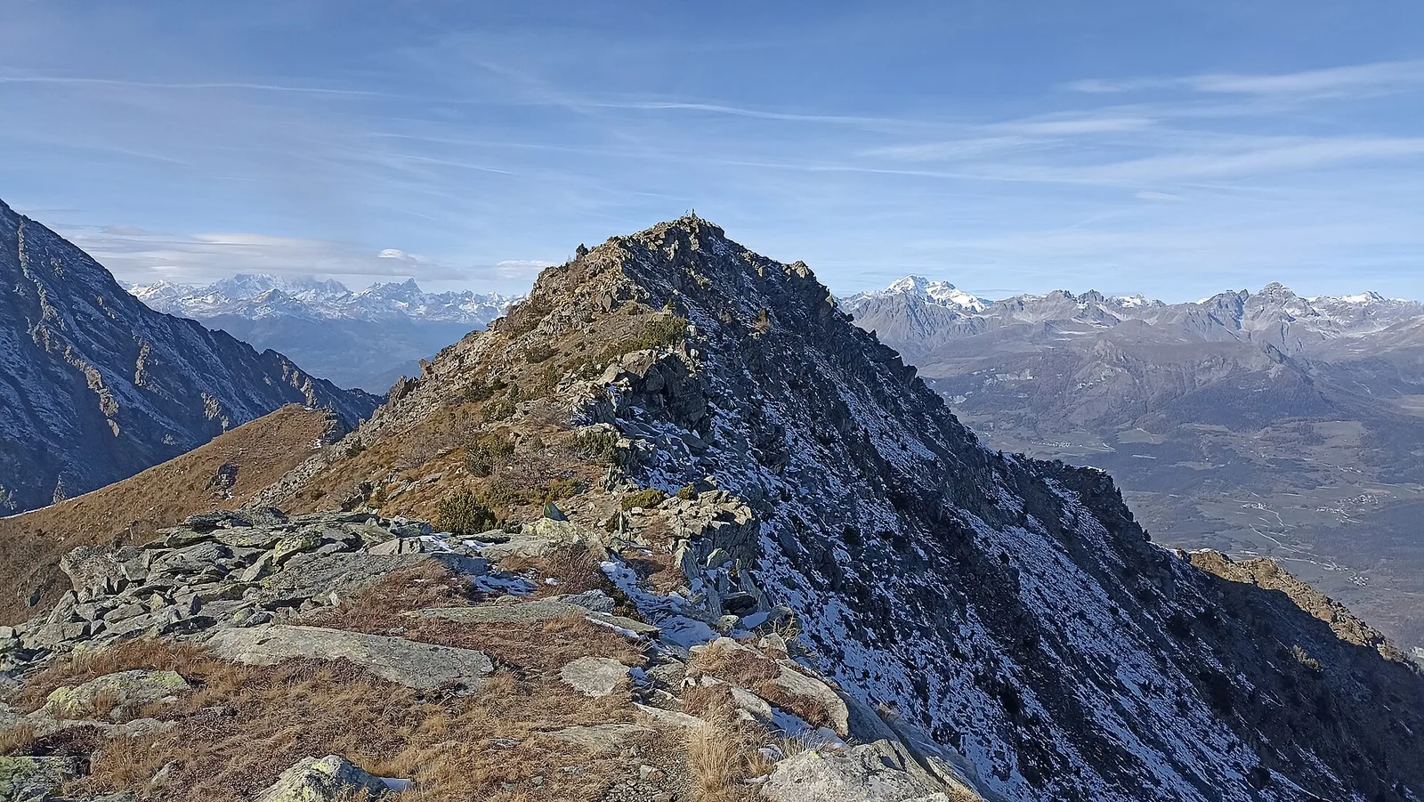
5.3 km · +1205 m · EE — from Joux to Becca Pouegnenta (La Thuile).
Val di Cogne
From La Nouva (1,300 m) through the Nomenon alp to Bivacco Gontier (2,302 m) in the Gran Paradiso National Park: 6.7 km, 1,020 m ascent.
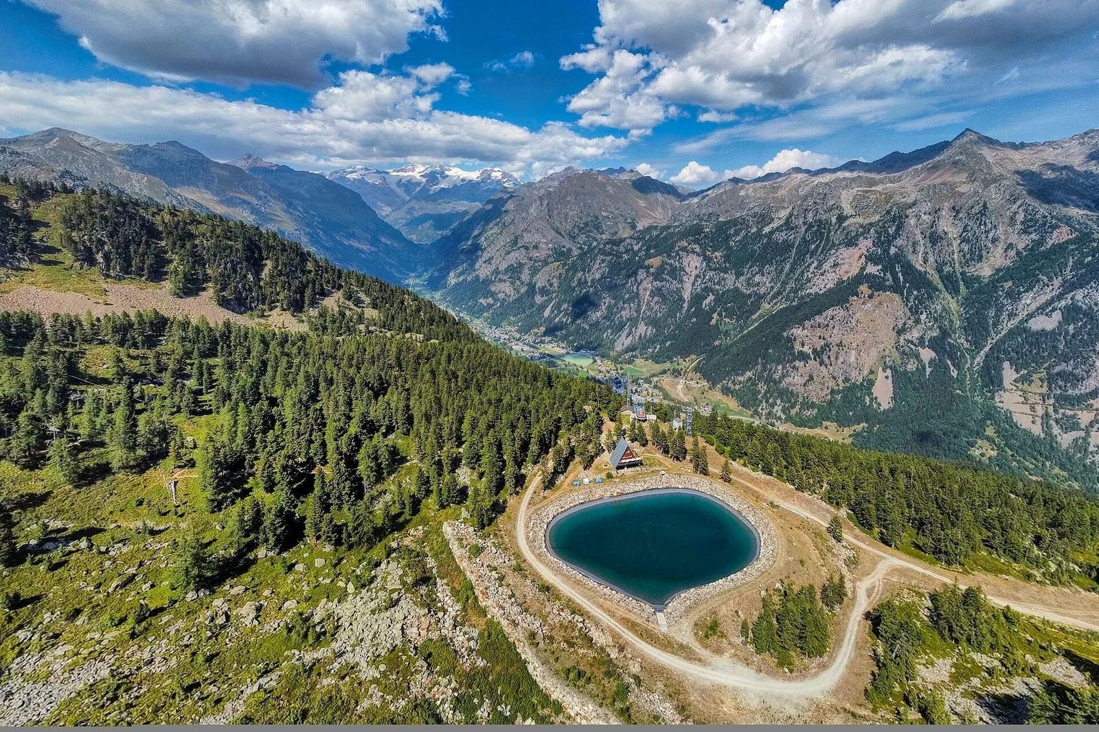
La Thuile
4.8 km · +926 m · E — from La Thuile to Col de la Croix (Lys Valley).
Val Ferret
5 km · +829 m · E — from La Vachey to Col Entre Deux-Sauts (Great St Bernard Valley).
Valle centrale
5.8 km · +1201 m · E — from Pont Suaz to Ermitage de Saint-Grat (Cogne Valley).
Valle centrale
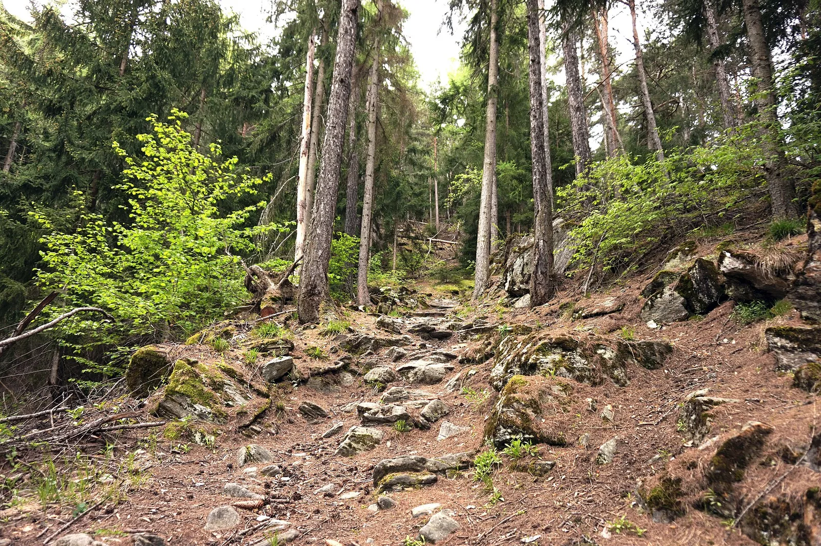
In the Valgrisenche, Arvier: a significant E-rated climb through forest toward upper pastures.
Valle centrale
2.2 km · +263 m · E — from Liveroulaz to Chaillod (Central Valley).
Bassa Valle
7.6 km · +1544 m · E — from Lo Pian to Arvueil (Central Valley).
Val Ferret
9 km · +998 m · E — from Mayencet to Tête de Bernarde (Great St Bernard Valley).
Valpelline
5.1 km · +1127 m · E — from Capoluogo to Col Brison (Valpelline).
Valle di Champorcher
4.4 km · +515 m · E — from Outre l'Eve to Outre l'Eve (Valtournenche).
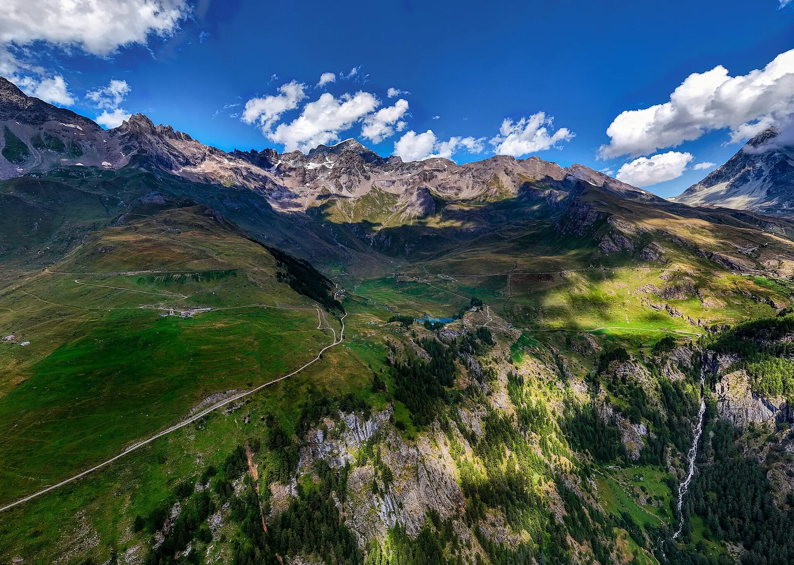
Valsavarenche
9 km · +643 m · E — from Pont to Col du Nivolet (Ayas Valley).
Bassa Valle
2.2 km · +436 m · E — from Capoluogo to Reserve Naturelle de Holay (Central Valley).
Val di Cogne
2 km · +311 m · E — from Rifugio Arbolle to Col Garin (Cogne Valley).
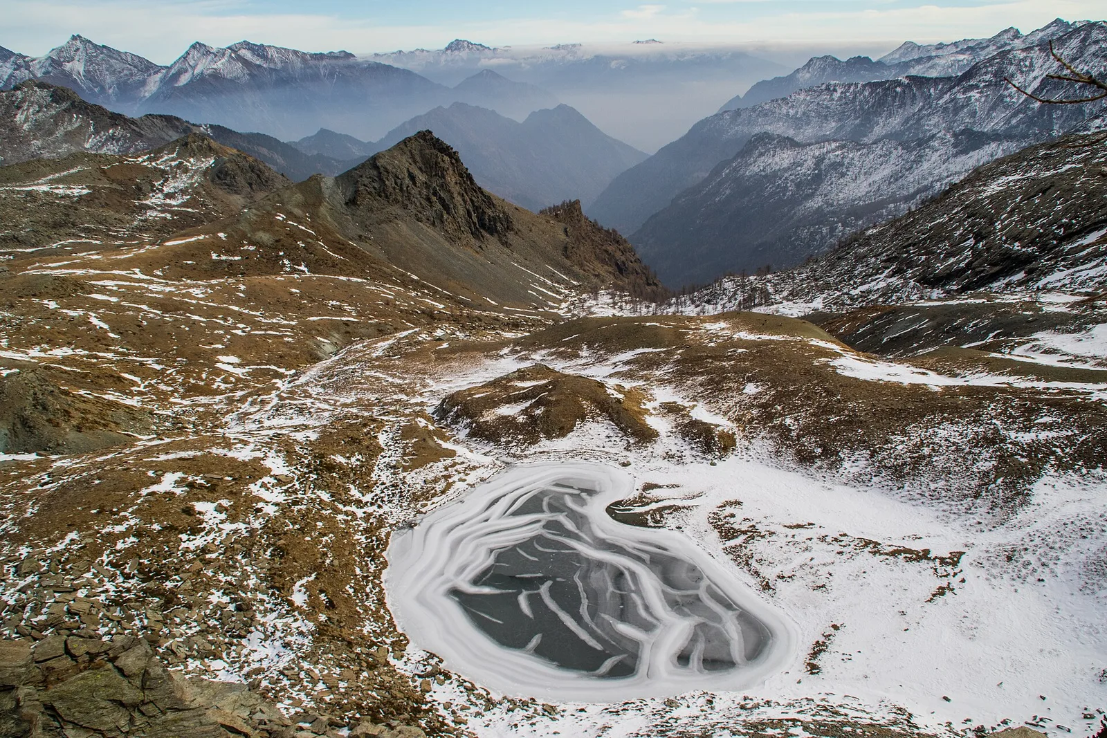
Valgrisenche
4 km · +556 m · E — from Rifugio Bezzi to Col de Vaudet (Valtournenche).
Valgrisenche
3.1 km · +475 m · E — from Rifugio Chalet de l'Epée to Col Fenêtre de Torrent (Valtournenche).
Valpelline
2.9 km · +570 m · E — from Ru to Plan Faudery (Valpelline).
Valtournenche
3 km · +114 m · E — from N.D. to N.D. (Central Valley).
Valle del Lys
4.2 km · +802 m · EE — from Sainte-Marguerite to Col Giassit (Central Valley).
Valle del Lys
6.6 km · +1067 m · E — from Stafal to Col d'Olen (Lys Valley).
Valle del Lys
6.9 km · +1063 m · E — from Staffal to Col D'Olen (Lys Valley).
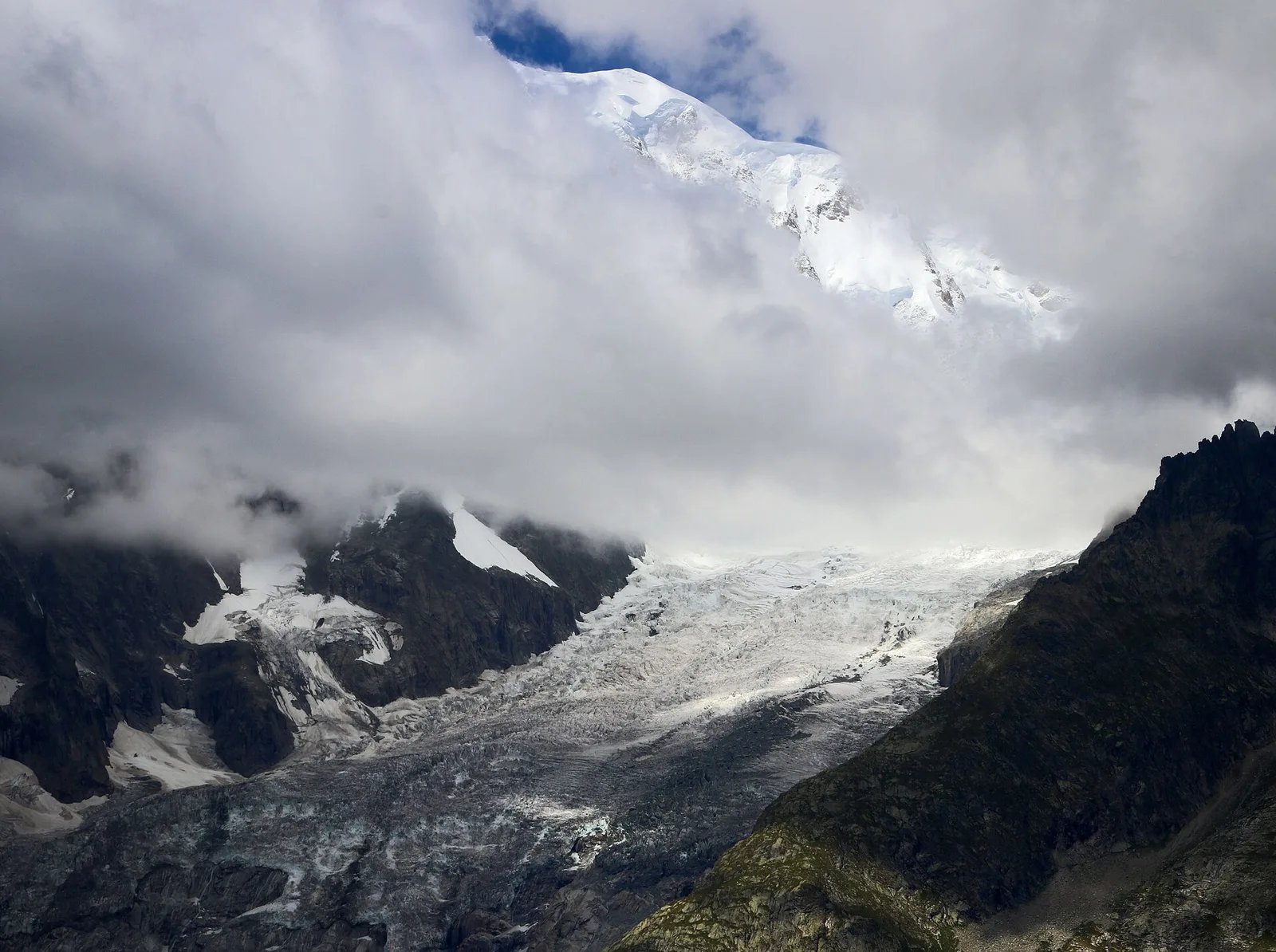
Val Veny
15.2 km · +1482 m · E — from Capoluogo to Rifugio Elisabetta (Great St Bernard Valley).
Valle di Champorcher
15 km · +0 m · E — from Capoluogo to Crest (Valtournenche).

Valpelline
4 km · +235 m · E — from Crétaz to Crétaz (Lys Valley).
Valle di Champorcher
6.2 km · +1184 m · E — from Varesa to Buriana (Champorcher Valley).
Valle del Lys
2.7 km · +397 m · E — from Strada per Tschalvrino to Col Ranzola (Champorcher Valley).