Isollaz - Col Dondeuil
Advertencias
- Exceptional 1662 m of ascent: excellent fitness and a dawn start essential.
- Check weather before departure; layered clothing.
9 km
+1662 m
−0 m
6.5 h
Nivel físico
Mapa y ruta
Traza GPX — verifica sobre el terreno antes de caminar
Descripción
Puntos clave
Salida
Isollaz · 700 m
Llegada
Col Dondeuil · 2342 m
Sendero
S5
The trail to Col Dondeuil is one of the most physically demanding hiking routes in the Challand-Saint-Victor area. Beginning at Isollaz, just 700 m above sea level — one of the lowest starting points in the Aosta Valley trail network — it climbs 1662 metres over nine kilometres to reach the col at 2342 m, an exceptional elevation gain for an E-grade route. The path crosses every typical Alpine environment in succession: valley-floor vineyards and chestnut groves, mixed oak and ash woodland, larch forest, open high pastures, and finally the rocky scree of the upper col. This ecological diversity makes the route outstanding for nature lovers. An early start is strongly recommended given the length and altitude gain.
Aparcamiento
Galería de fotos
Photos are published immediately. JPG/PNG/WebP, max 6 MB.
Flora del sendero
Fauna que observar
AEditado y verificado por Andrea Rama
Fuente de datos: Catasto Sentieri Regione Autonoma VdA · Open data — DGR 899/2014
Última verificación:
Valle del Lys
Senderos relacionados
Mismo valle o rutas similares — más excursiones por descubrir.

Valle del Lys
Anello dei Gemelli della Mologna
8.9 km · +996 m · EEA — from Niel to Niel (Great St Bernard Valley).

Valle del Lys
Balmeto - Leck Albezò
1.2 km · +287 m · E — from Balmeto to Leck Albezò (Champorcher Valley).

Valle del Lys
Bino - Passo di Valnera
4.5 km · +1280 m · E — from Bino to Alpe Jatza (Champorcher Valley).

Valle del Lys
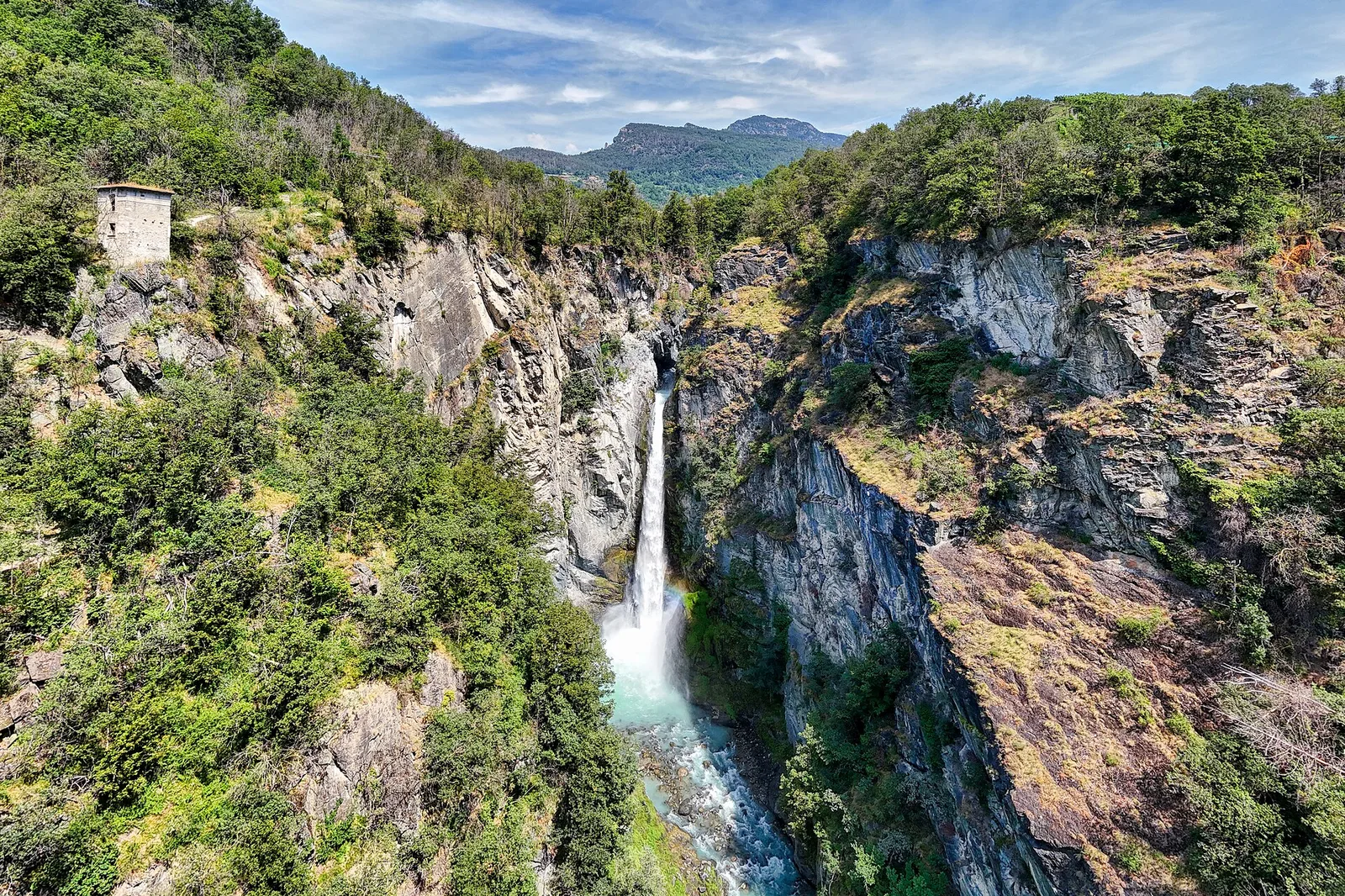
Cascate di Niel
0.6 km · +80 m · E — from Start 7B to Cascate di Niel (Great St Bernard Valley).