Leverogne - La Ravoire - Baise Pierre - Baulin (Avise)
6.2 km
+1018 m
−0 m
4 h
Nivel físico
Mapa y ruta
Traza GPX — verifica sobre el terreno antes de caminar
Descripción
Puntos clave
Salida
Leverogne · 767 m
Llegada
Baulin · 1763 m
Sendero
S3
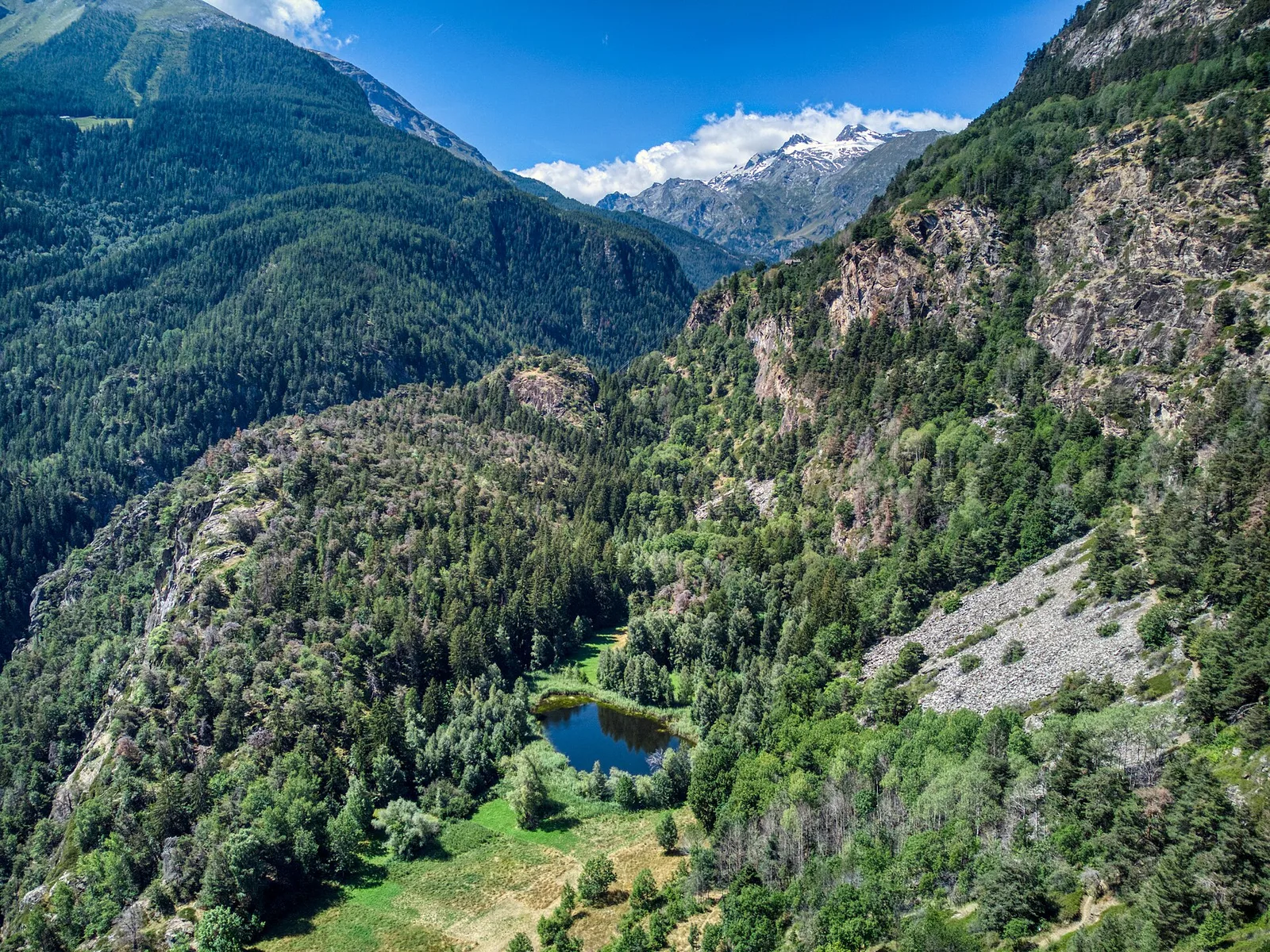
One of Valgrisenche's most demanding valley-floor-to-alp routes, this 6.2 km trail climbs over 1000 metres from Leverogne (767 m) to Baulin (1763 m). Passing through the partly abandoned hamlet of La Ravoire — with its stone ruins still standing among encroaching vegetation — the path ascends through chestnut and oak woodland before opening into larch forest and high pasture. Rated E; solid fitness required. The long descent back to the valley floor should be factored into planning.
Aparcamiento
Galería de fotos
Photos are published immediately. JPG/PNG/WebP, max 6 MB.
Flora del sendero
Fauna que observar
AEditado y verificado por Andrea Rama
Fuente de datos: Catasto Sentieri Regione Autonoma VdA · Open data — DGR 899/2014
Última verificación:
Valle centrale
Senderos relacionados
Mismo valle o rutas similares — más excursiones por descubrir.

Valle centrale
Anello del Verrand
2.6 km · +233 m · E — from Château Verrand to Château Verrand (Rhêmes Valley).

Valle centrale
Area giochi Croux - Parleyaz
4.1 km · +476 m · E — from Area giochi Croux to Parleyaz (Central Valley).

Valle centrale
Arlier - Cloutraz (Pontey)
From Arlier (603m) to Cloutraz (1067m) on the Châtillon hillside: 3.5 km E through vineyards, woodland and views over the Dora Baltea.

Valle centrale
Arpilles - Champromenty
2.1 km · +333 m · E — from Arpilles to Champromenty (Lys Valley).