
E
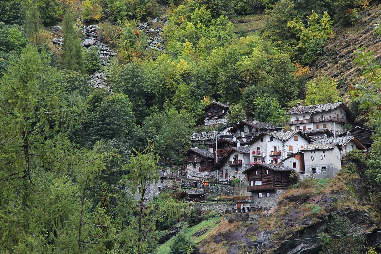
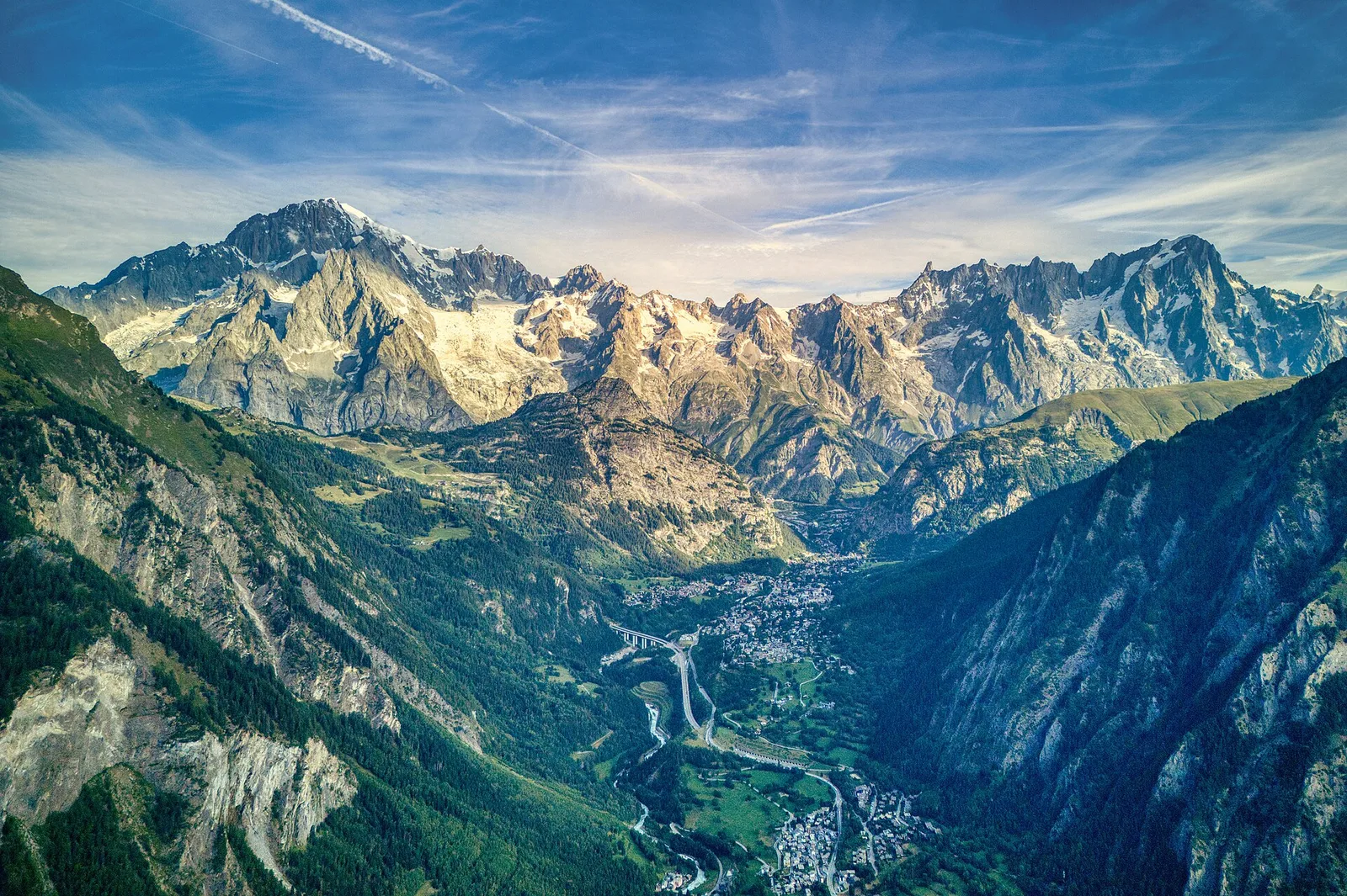
Val d'Ayas
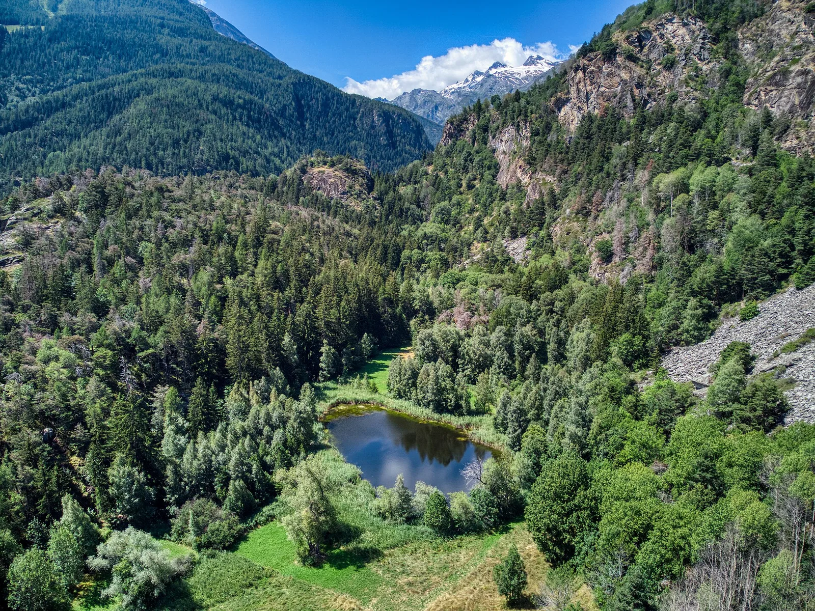
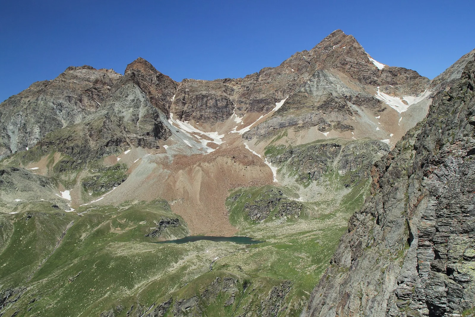
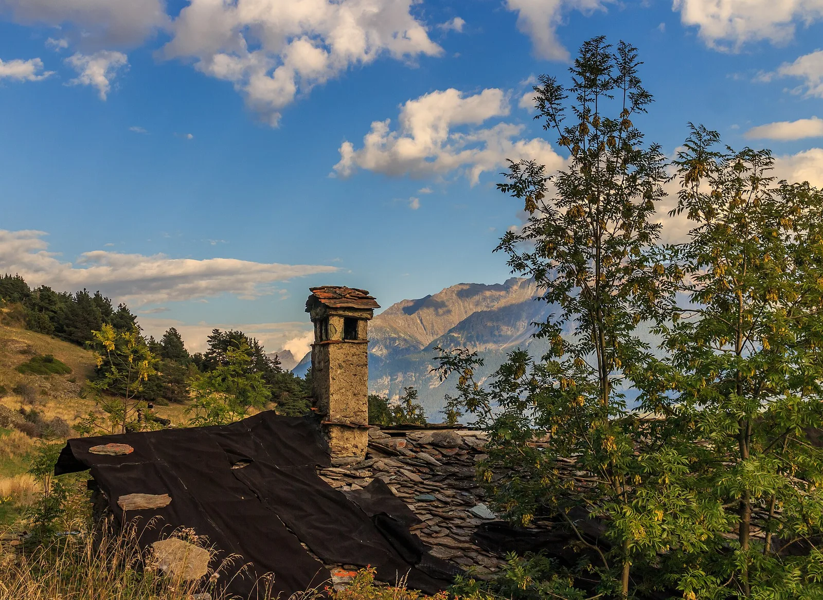
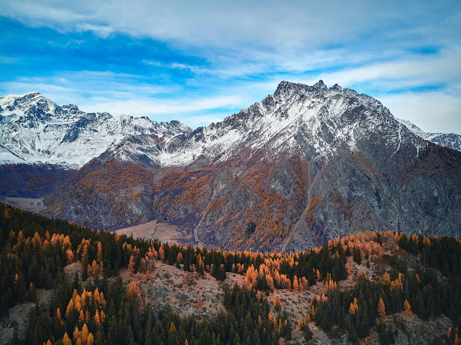
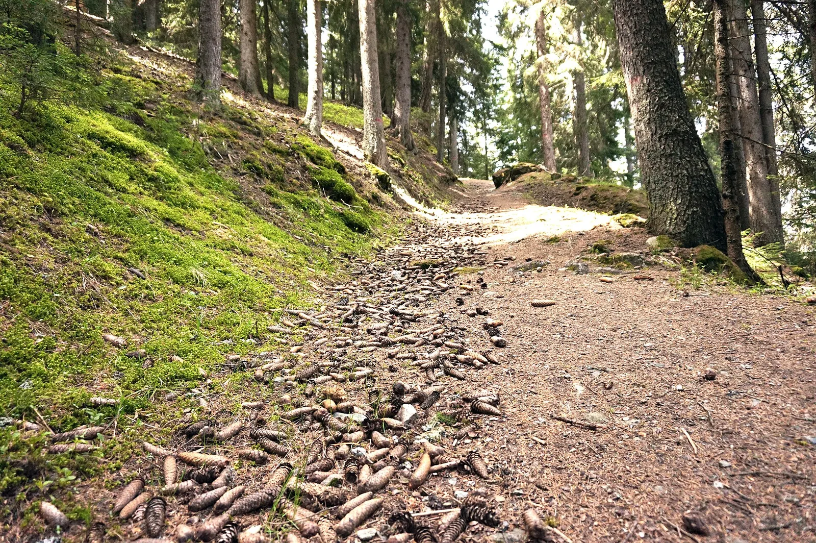
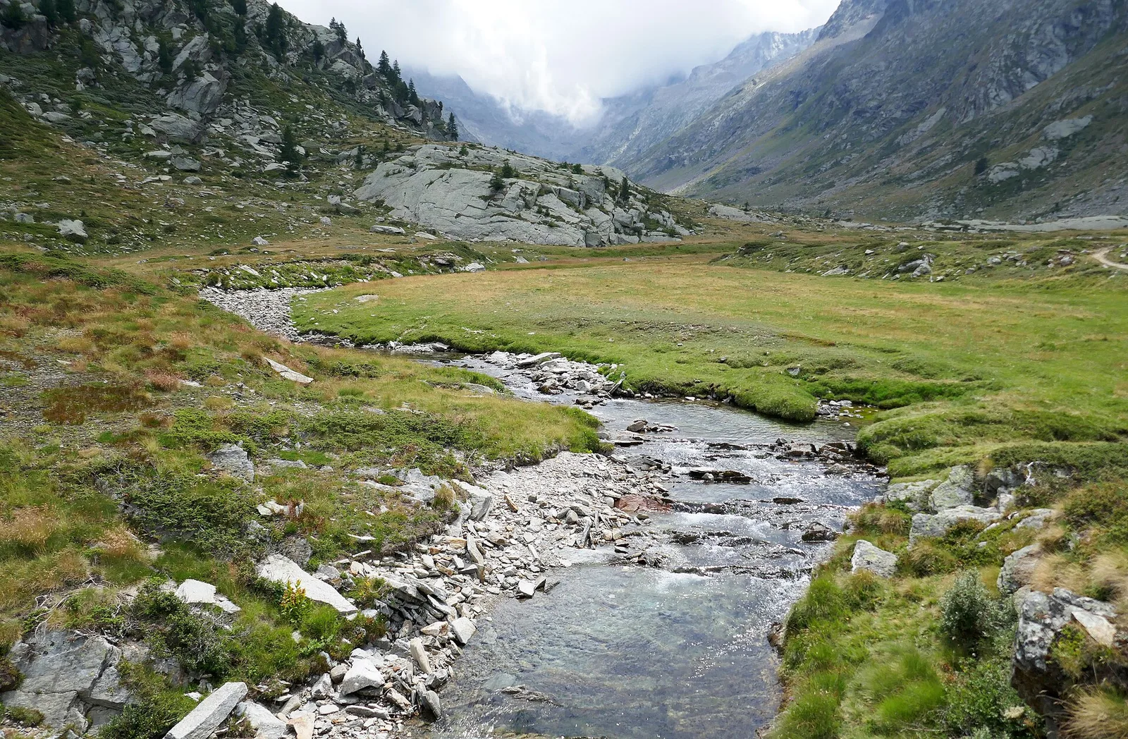
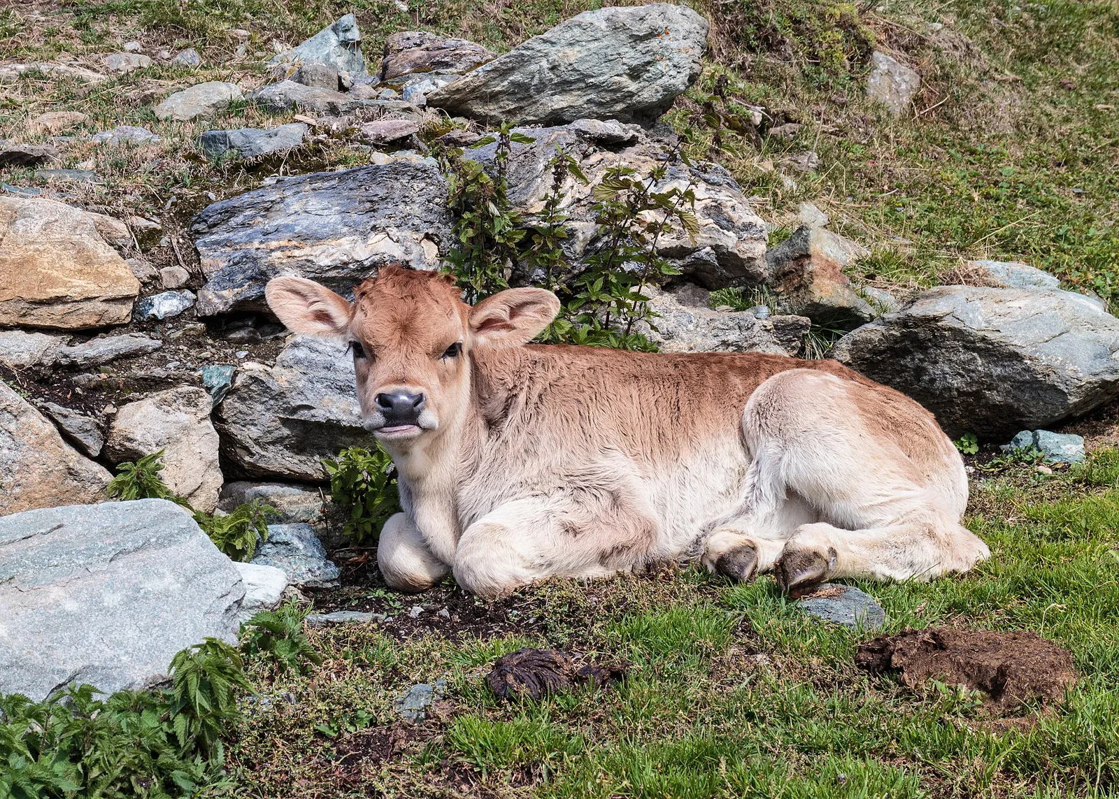
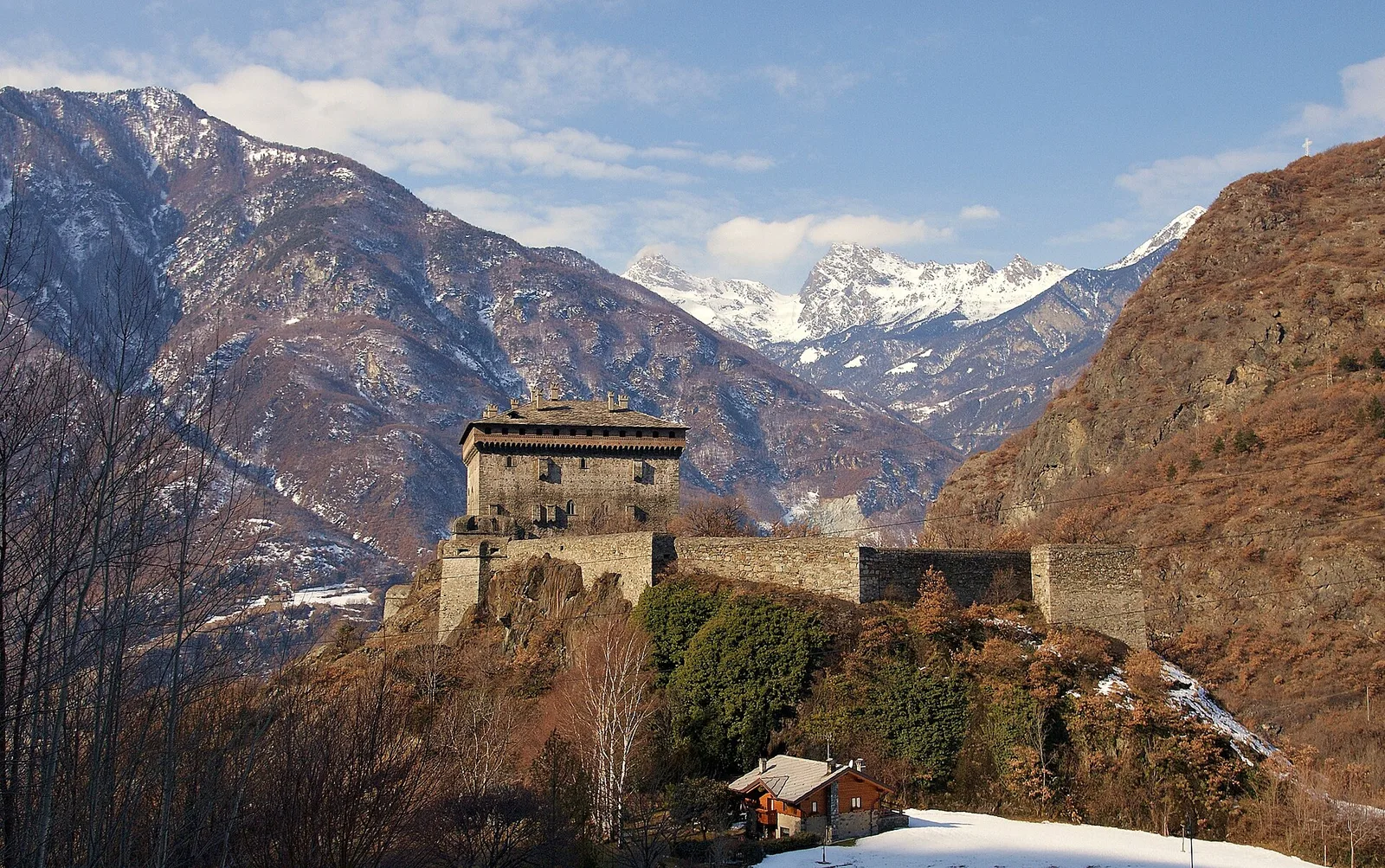
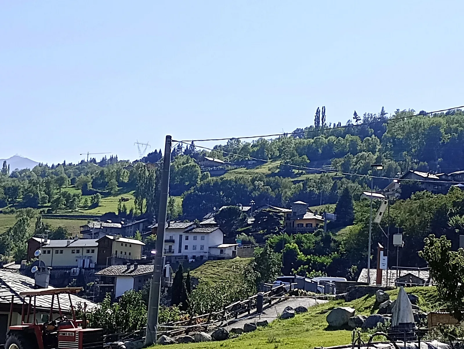
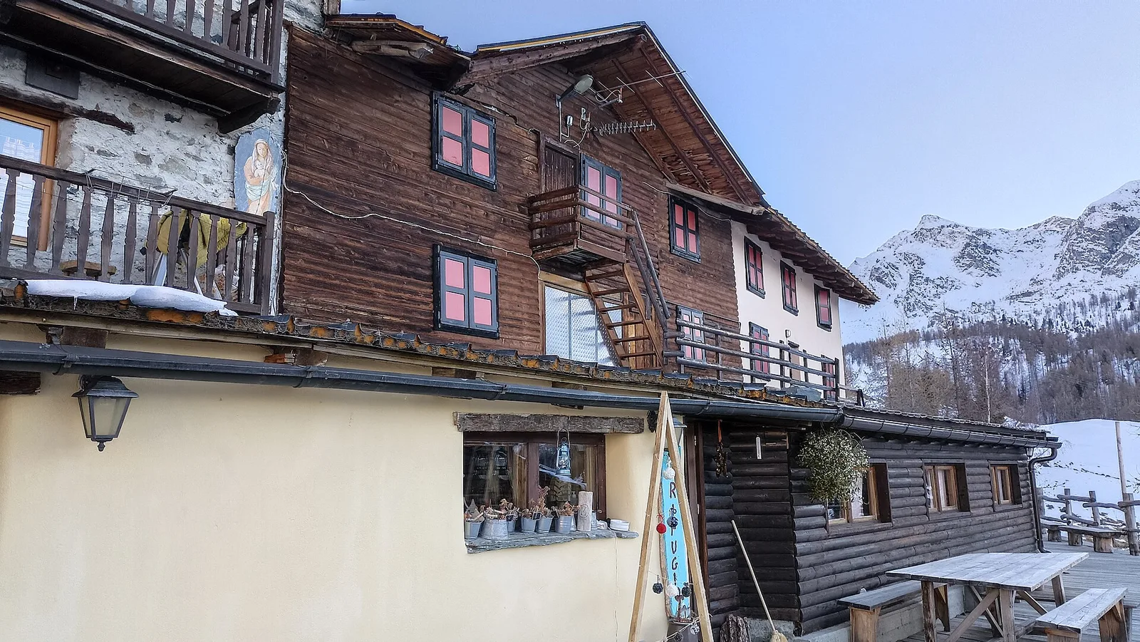
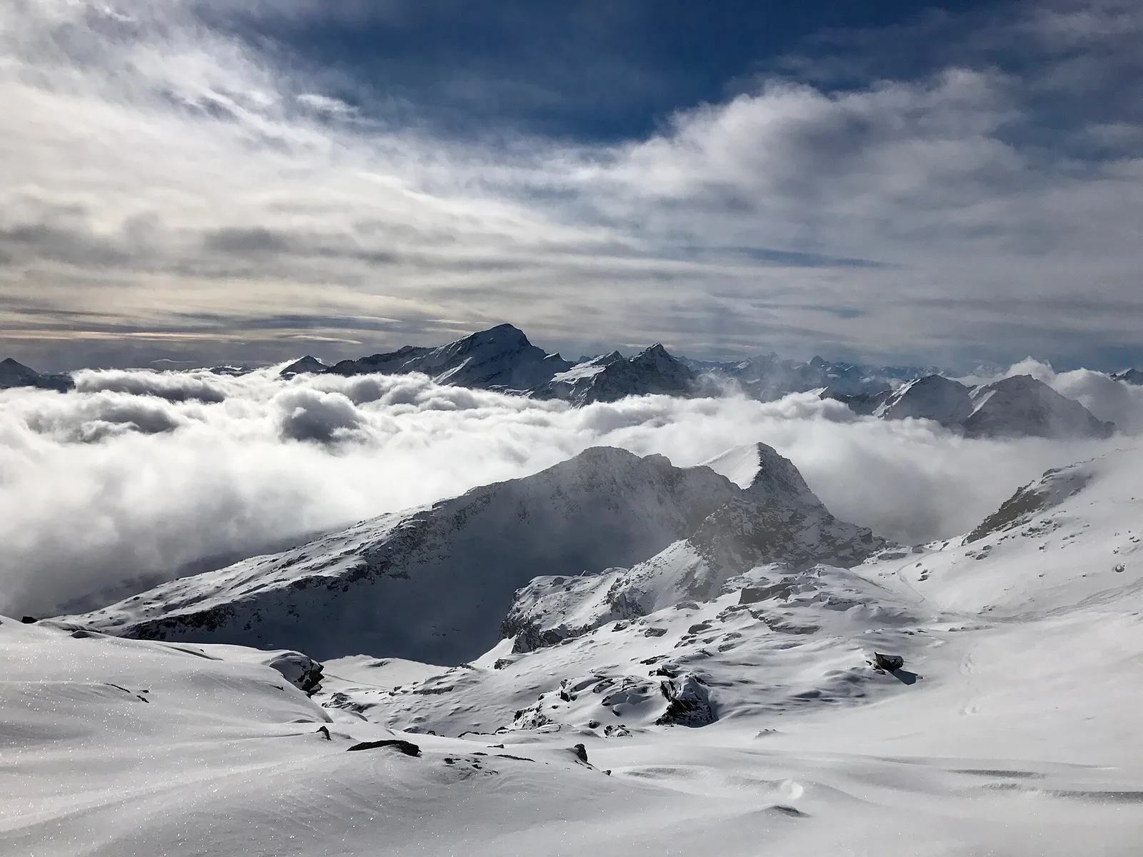
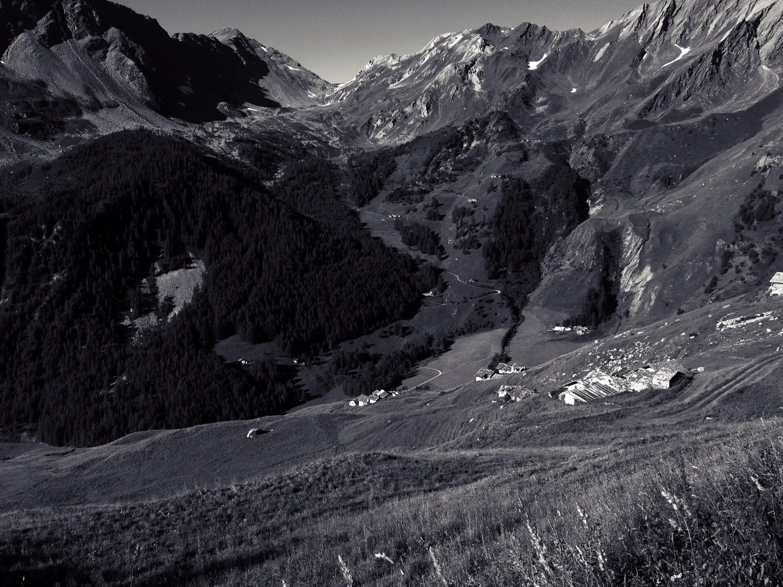
Amponey - Alpe Mascognaz
1.8 km · +309 m · E — from Amponey to Alpe Mascognaz (Central Valley).
1.8 km+309 m1 h
Where to spot
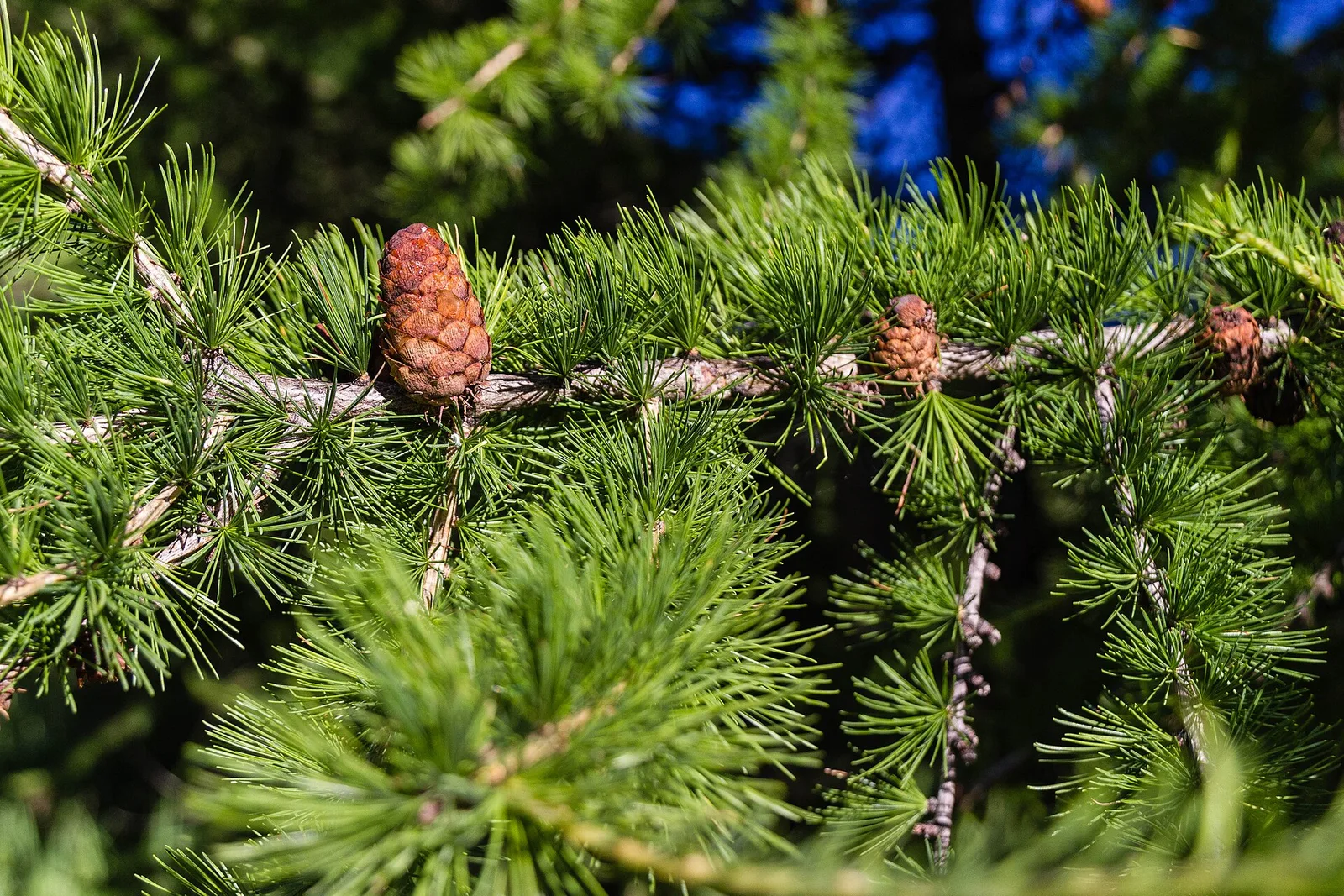
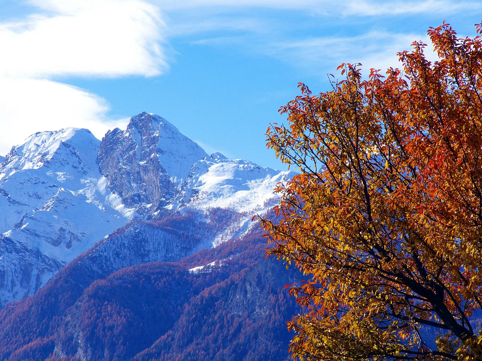
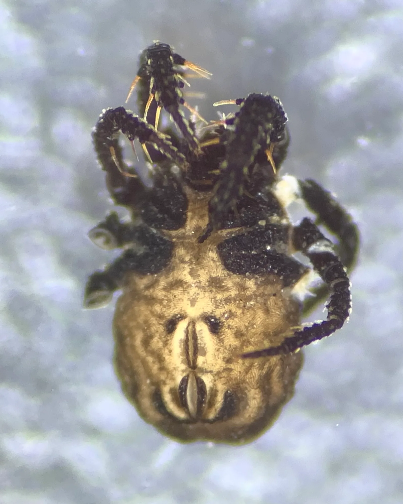
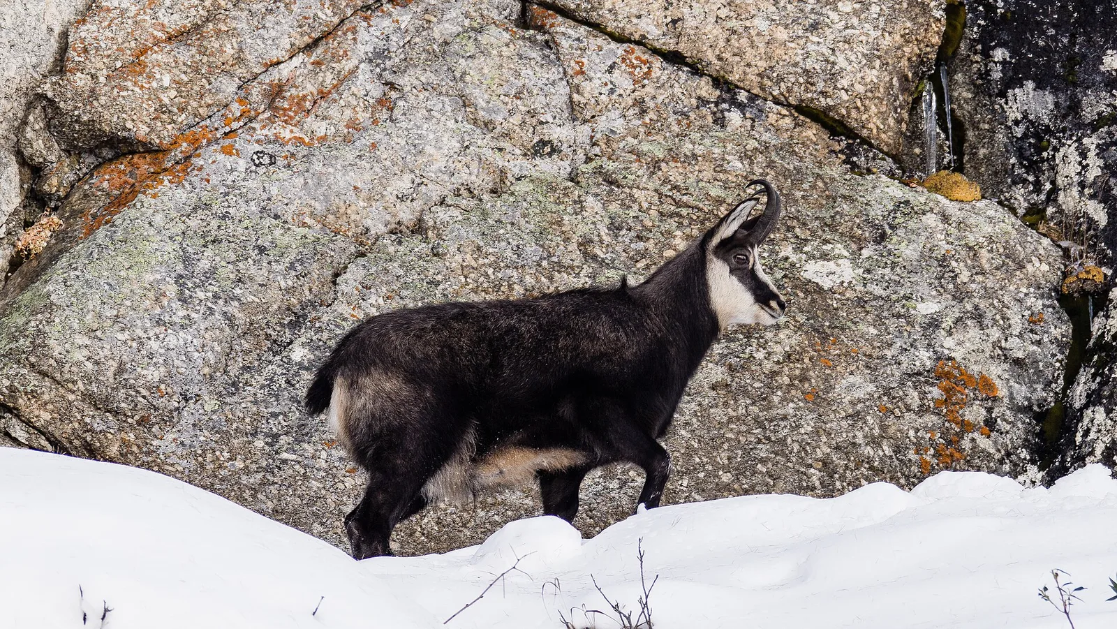
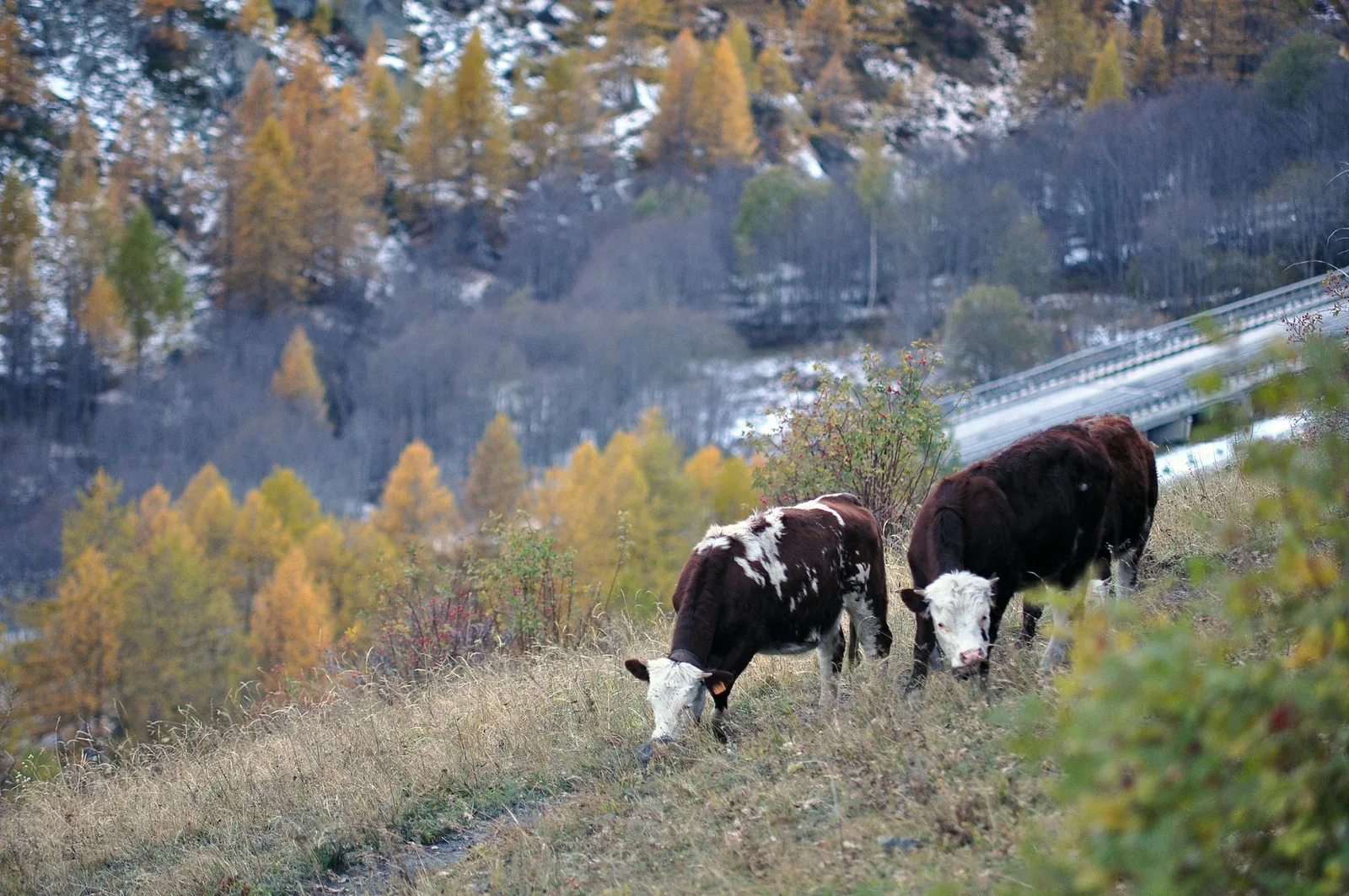
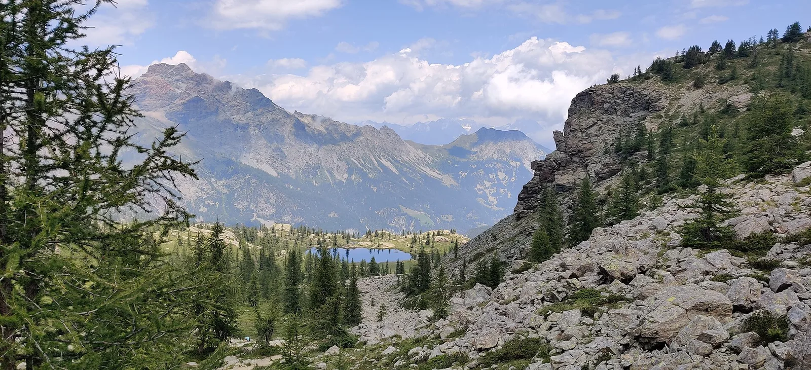
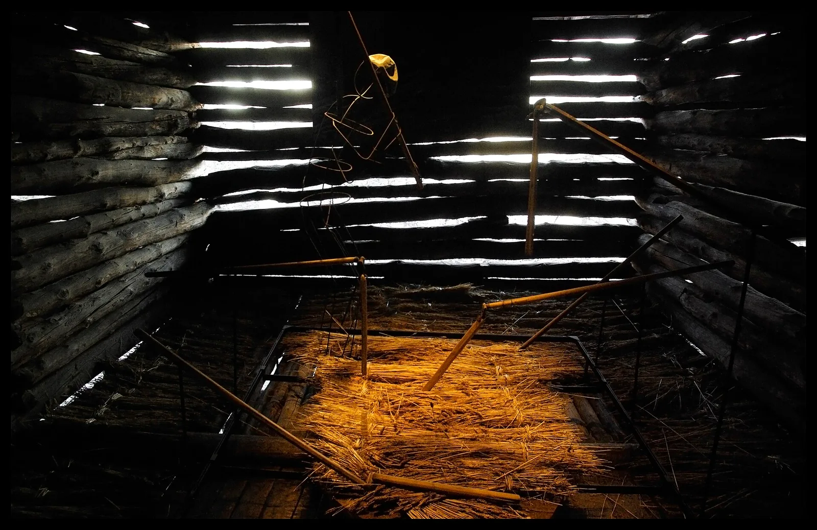
106 trails where Green alder is listed in flora/fauna: difficulty T–EE, elevation gain 0–1983 m.
106 · 0.9–18.7 km · +0–1983 m
Val d'Ayas
1.8 km · +309 m · E — from Amponey to Alpe Mascognaz (Central Valley).

Valtournenche
1.9 km · +140 m · E — from Champlève to Champlève (Central Valley).

Valle centrale
2.1 km · +333 m · E — from Arpilles to Champromenty (Lys Valley).

Valle del Lys
1.2 km · +287 m · E — from Balmeto to Leck Albezò (Champorcher Valley).
Valle centrale
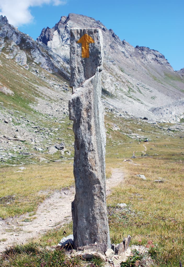
A short, gentle climb from Baulin to Mont Colombo, a modest wooded rise with a view over the central valley, above Avise.
Val d'Ayas
6 km · +828 m · E — from Bellecombe to Thoule (Valdigne).
Valle centrale
5.5 km · +786 m · E — from Bellecombe to Alpe Valmeriana (Valdigne).
Val di Cogne
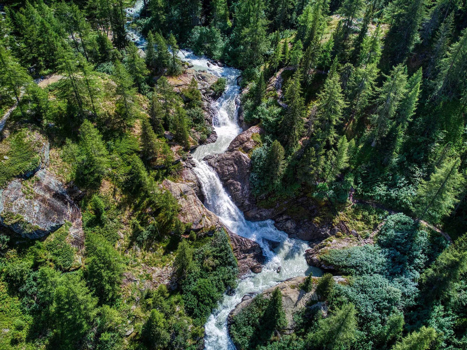
A short high-altitude climb from the Gontier bivouac to Col du Tradzo, at 2,875 metres, on the buttresses of the Gran Paradiso National Park.
Valle centrale
9.3 km · +968 m · E — from Blavy to Praz (Valpelline).
Valtournenche
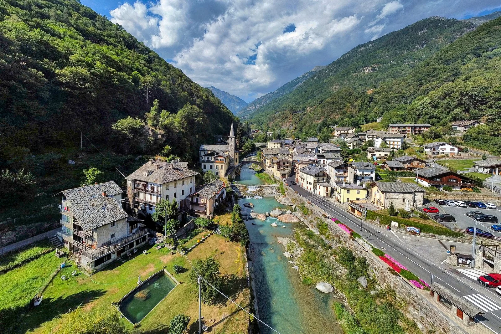
A long traverse through Valtournenche from the vineyards of Bourg (1,078 m) to the pastures of Maen (1,991 m), with views toward the Matterhorn.
Valtournenche
5.5 km · +811 m · E — from Verrayes (capoluogo) to Col des Bornes (Valsavarenche).
Valle centrale
2.6 km · +874 m · E — from Cerise to Bec Tolomon (Lys Valley).
Valle centrale
9.1 km · +949 m · E — from Challancin to Col Fetita (La Thuile).

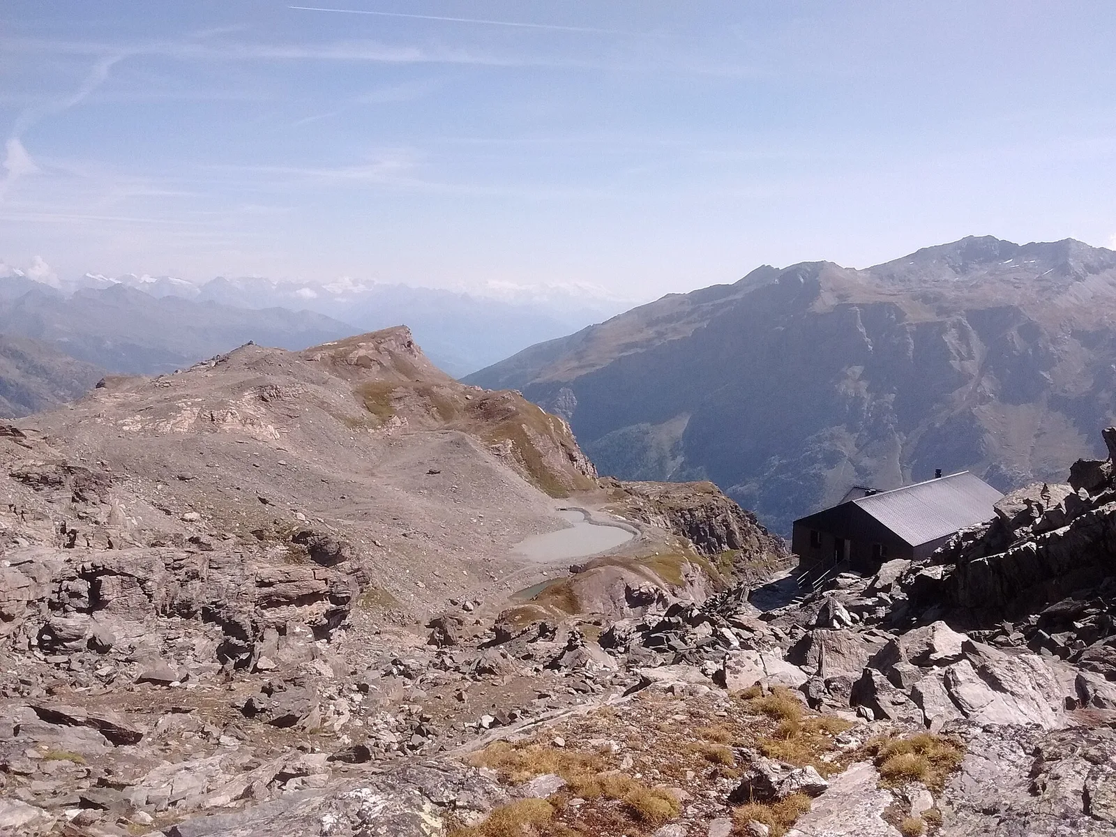
Valpelline
From Chamin (1,732 m) to the Bivacco della Sassa (2,964 m) in the quiet Valpelline: 7.1 km and 1,246 m of ascent.
Val d'Ayas
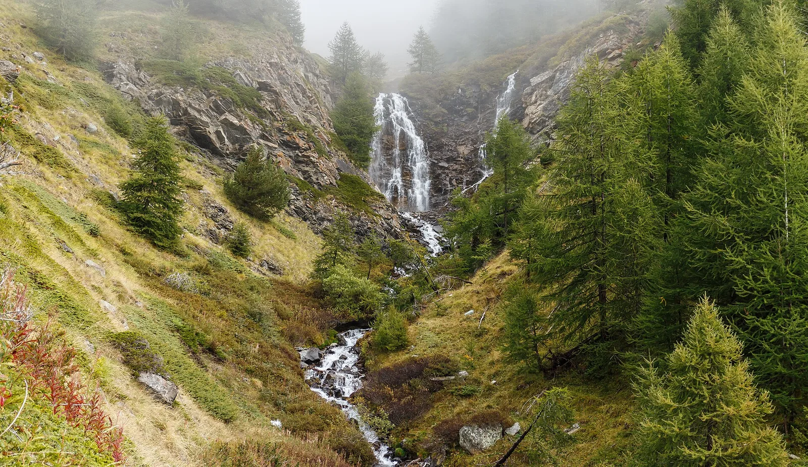
1.6 km · +255 m · E — from Champoluc to Cascata Mascognaz (Central Valley).

Val d'Ayas
2.1 km · +264 m · E — from Champoluc to Mandriou (Central Valley).
Valle di Champorcher
6.6 km · +1044 m · E — from Chardonney to Cimetta Rossa (Valtournenche).
Valle di Champorcher
4.8 km · +647 m · E — from Chardonney to Parcheggio Dondena (Sentiero Scalette) (Valtournenche).
Valle centrale
4.1 km · +768 m · E — from Charrère to Verrogne (Central Valley).
Valle centrale
6 km · +1256 m · E — from Clapey to Alpe Valmeriana (Valdigne).
Val di Cogne
1.4 km · +246 m · E — from Cogne, capoluogo to Gimillan (Lys Valley).
Valgrisenche
10.9 km · +1302 m · E — from Surrier to Col Bassac Déré (Valtournenche).
Valle centrale
3.7 km · +1032 m · E — from Comboé (Comboué) to Becca di Nona (Cogne Valley).
Val d'Ayas
Val d'Ayas: a climb toward a panoramic high-altitude objective over open terrain.
Valtournenche
1.5 km · +286 m · E — from Parcheggio ovovia ( Crepin) to Liortère (Central Valley).
Valsavarenche
2.5 km · +549 m · E — from Degioz to Bocconère (Ayas Valley).
Valpelline
4.2 km · +900 m · E — from Doues-Planavilla to Plan du Débat (Valtournenche).
Valle centrale
2.5 km · +239 m · E — from Druges to Miniera di Servette (Great St Bernard Valley).
Valle centrale
3.1 km · +239 m · E — from Druges to Miniera Servette (Great St Bernard Valley).
Val di Cogne
8.6 km · +898 m · EE — from Epinel to Bivacco Gontier (Lys Valley).
Val di Cogne
3.1 km · +291 m · E — from Epinel to Gimillan (Lys Valley).

Valtournenche
8.3 km · +1014 m · E — from Etirol to Col de Tsomioy (Valpelline).
Valle del Gran San Bernardo
6.7 km · +1353 m · E — from Vachery to Col Barasson Est (Central Valley).
Bassa Valle
4.5 km · +938 m · E — from Fey to Croix Corma (Central Valley).
Valle centrale
1.6 km · +197 m · E — from Gerbore to Mont Greume (Central Valley).
Val di Cogne
6.1 km · +1004 m · E — from Gimillan to Col Tsasèche (Lys Valley).
Val d'Ayas
3.5 km · +0 m · E — from Grand Rhun to Erésaz (Great St Bernard Valley).
Valle centrale
A sustained climb from La Clusaz (1660 m) to the Col de la Crosatie (2829 m), a high pass on the Alta Via 2 towards Planaval.
Valtournenche
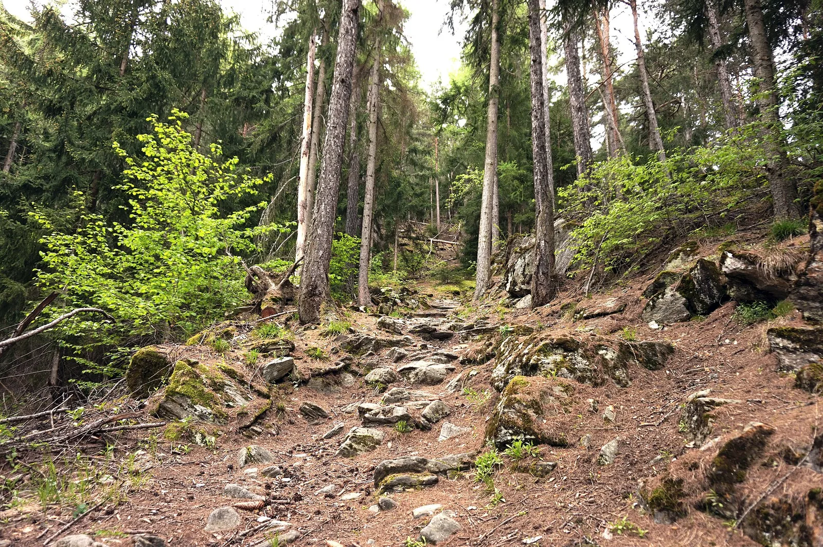
3.7 km · +112 m · T — from Strada dopo Veuillen to Corgnolaz (Valdigne).
Valle centrale
4.7 km · +545 m · E — from La Pissine Sal� to Ermitage de Saint-Grat (Cogne Valley).
La Thuile
6.1 km · +1012 m · E — from La Thuile to Cappella di San Grato/Santa Margherita (Lys Valley).

Valle di Champorcher
9 km · +1364 m · EE — from Le Crin to Col Fussy (Lys Valley).
Valle del Lys
5.4 km · +1289 m · E — from Le Miriou to Monte Lose Bianche (Central Valley).
Valle centrale
5.8 km · +1201 m · E — from Pont Suaz to Ermitage de Saint-Grat (Cogne Valley).
Valle centrale
4 km · +593 m · E — from Combes to Plan Bry (confine comunale Valgrisenche) (Lys Valley).
Valle centrale
In the Valgrisenche, Arvier: a significant E-rated climb through forest toward upper pastures.
Valle centrale
5.2 km · +408 m · E — from Lignan to Praz (Valpelline).
Val d'Ayas
1.6 km · +294 m · E — from Lignod to Incrocio Ru (Central Valley).
Val di Cogne
9.5 km · +1151 m · E — from Lillaz to Bivacco Devis Gérard (Lys Valley).
Valle centrale
8.1 km · +995 m · E — from Marseiller to Col des Bornes (Valsavarenche).
Valgrisenche
7.6 km · +1124 m · E — from Menthieu to Lago San Grato (Valtournenche).
Valle centrale
6.1 km · +1274 m · E — from Miserègne to Bec Tolomon (Lys Valley).
Val di Cogne
0.9 km · +104 m · E — from Montroz to Gimillan (Lys Valley).
Valle centrale
7.9 km · +832 m · E — from Morgex, sentiero 8, quota 950 to Petosan (Central Valley).
Valle centrale
5.2 km · +926 m · E — from N.D. to N.D. (Central Valley).
Valtournenche
2.7 km · +663 m · E — from Nuarsaz to Corgnolaz (Valtournenche).
Val d'Ayas
3.9 km · +1057 m · E — from Omens to Bec de l'Oie (Valtournenche).
Valle di Champorcher
3.5 km · +593 m · E — from Outre l'Eve to Saint-Antoine (Valtournenche).
Valpelline
3 km · +0 m · E — from Tornante quota 1309 to Thoules (Lys Valley).
Valtournenche
3.7 km · +317 m · E — from Paquier to Champleve (Central Valley).
Valtournenche
5 km · +296 m · E — from Paquier to Chamois (Central Valley).
La Thuile
11.4 km · +1418 m · E — from Parcheggio Area camper to Col de la Lex Blanche (Lys Valley).
Valtournenche
5.5 km · +971 m · EE — from Perrères to Motta di Plété Occidentale (Central Valley).
Valle di Champorcher
1.4 km · +381 m · EE — from Petit-Rosier to Col de Poussauel (Valtournenche).
Valle del Lys
3.9 km · +226 m · T — from Piazzale Colletesand to Staffal (Lys Valley).
Valpelline
Along Lake Place-Moulin to Rifugio Prarayer (trail 9-10), Bionaz: 4.6 km, almost flat, T. A walk for everyone.

Valle del Lys
5.3 km · +815 m · E — from Plan Coumarial to Rifugio Coda (Lys Valley).
Val Veny
1.2 km · +156 m · E — from Plan de Lognan to Jardin du Miage (Lac Vert) (Great St Bernard Valley).
Val Veny
5.2 km · +200 m · T — from Plan Ponquet to Visaille (giro dei tre ponti) (Great St Bernard Valley).
Valle centrale
3.1 km · +806 m · E — from Pompiod to Champallex (Champchenille) (Valtournenche).
Valsavarenche
7.9 km · +969 m · E — from Pont du Grand Clapey to Plan Borgnoz (Ayas Valley).
Valle centrale
2.5 km · +497 m · E — from Pont-Avisod to Ville-Sur-Sarre (Valgrisenche).
Valpelline
6.4 km · +1365 m · E — from Ponte Vernosse to Col de Saint-Barthélemy (Lys Valley).
Valle centrale
A long, severe climb on Aosta's adret: nearly 2000 m of ascent from the Porossan vineyards to the panoramic Col di Viou (2713 m).
Valtournenche
4.8 km · +166 m · E — from Prelaz to Col des Bornes (Valsavarenche).
Val d'Ayas
2.6 km · +308 m · E — from Quinçod to Alésaz (Ayas Valley).
Val Ferret
5.7 km · +903 m · E — from Rif . Bonatti to Col Malatr� (Great St Bernard Valley).
Valgrisenche
3.1 km · +475 m · E — from Rifugio Chalet de l'Epée to Col Fenêtre de Torrent (Valtournenche).

Valle del Lys
6.1 km · +1025 m · E — from Rikurt to Muni (Ayas Valley).
Valsavarenche
2.2 km · +375 m · E — from Rovenaud to Maisoncle (Ayas Valley).
Valtournenche
3 km · +114 m · E — from N.D. to N.D. (Central Valley).
Valle centrale
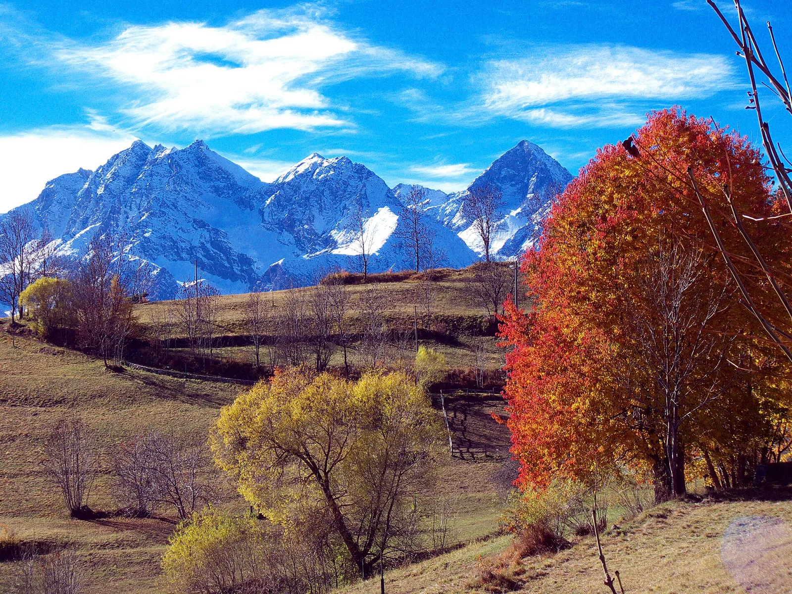
In the Valdigne, La Salle: an E/EE-rated climb toward upper slope zones with views of Mont Blanc.
Val d'Ayas
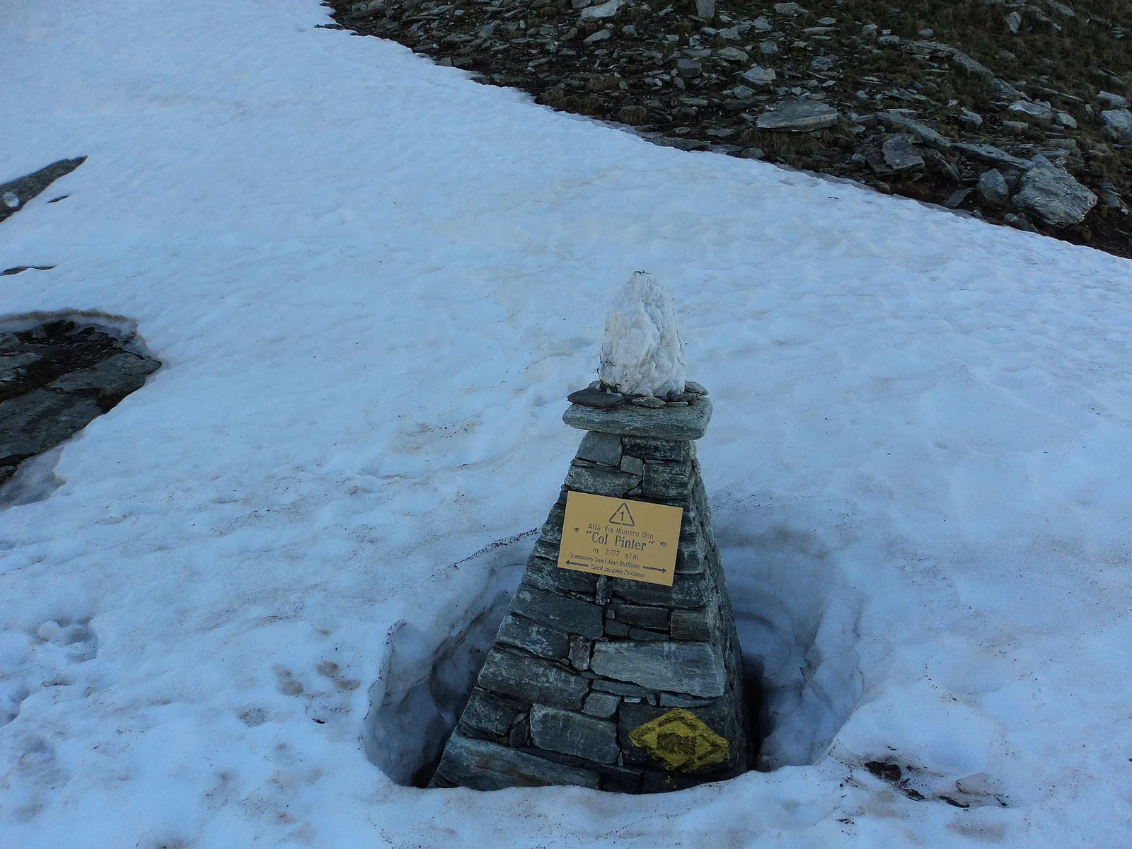
From Saint-Jacques (1700 m) to Col della Bettaforca (2672 m): a historic cross-border pass between Val d'Ayas and Valsesia. 5.1 km, +987 m, E.
Valle del Gran San Bernardo
6.3 km · +1304 m · E — from Saint-Léonard to Mont Flassin (Central Valley).

Valle centrale
2.9 km · +672 m · E — from Sarral to Champromenty (Central Valley).

Valle centrale
5.2 km · +926 m · E — from Sarral to Arpilles (Central Valley).
Valle del Lys
13.1 km · +0 m · E — from Baite di David to Lysbalma (Champorcher Valley).
Valle centrale
4.3 km · +688 m · E — from Sorressamont to Champromenty (Lys Valley).
Valle del Lys
8.4 km · +1020 m · EE — from Staffal to Punta Telcio (Lys Valley).

Valle di Champorcher
3.5 km · +639 m · EE — from Strada Dondena to Col Cima Piana (Valtournenche).
Valle di Champorcher
2.5 km · +542 m · E — from Strada Dondena to Col Lago Bianco (Valtournenche).
Valle del Gran San Bernardo
Along the historic Ru de Menouve, a gentle, almost level walk from Daillon to the Alpe Ponteille, on the edge of the Menouve valley.
Val d'Ayas
From the Estoul road (1,884 m) via Lago Battaglia to the Corno Boussolaz summit (3,023 m): 7.9 km EE in Val d'Ayas.
Valle centrale
5.6 km · +1100 m · E — from Strada regionale per Arpy to Croix du Folliet (Central Valley).
Valgrisenche
12.3 km · +998 m · E — from Planaval to Rifugio Chalet de l'Epée (Valgrisenche).
Valle centrale
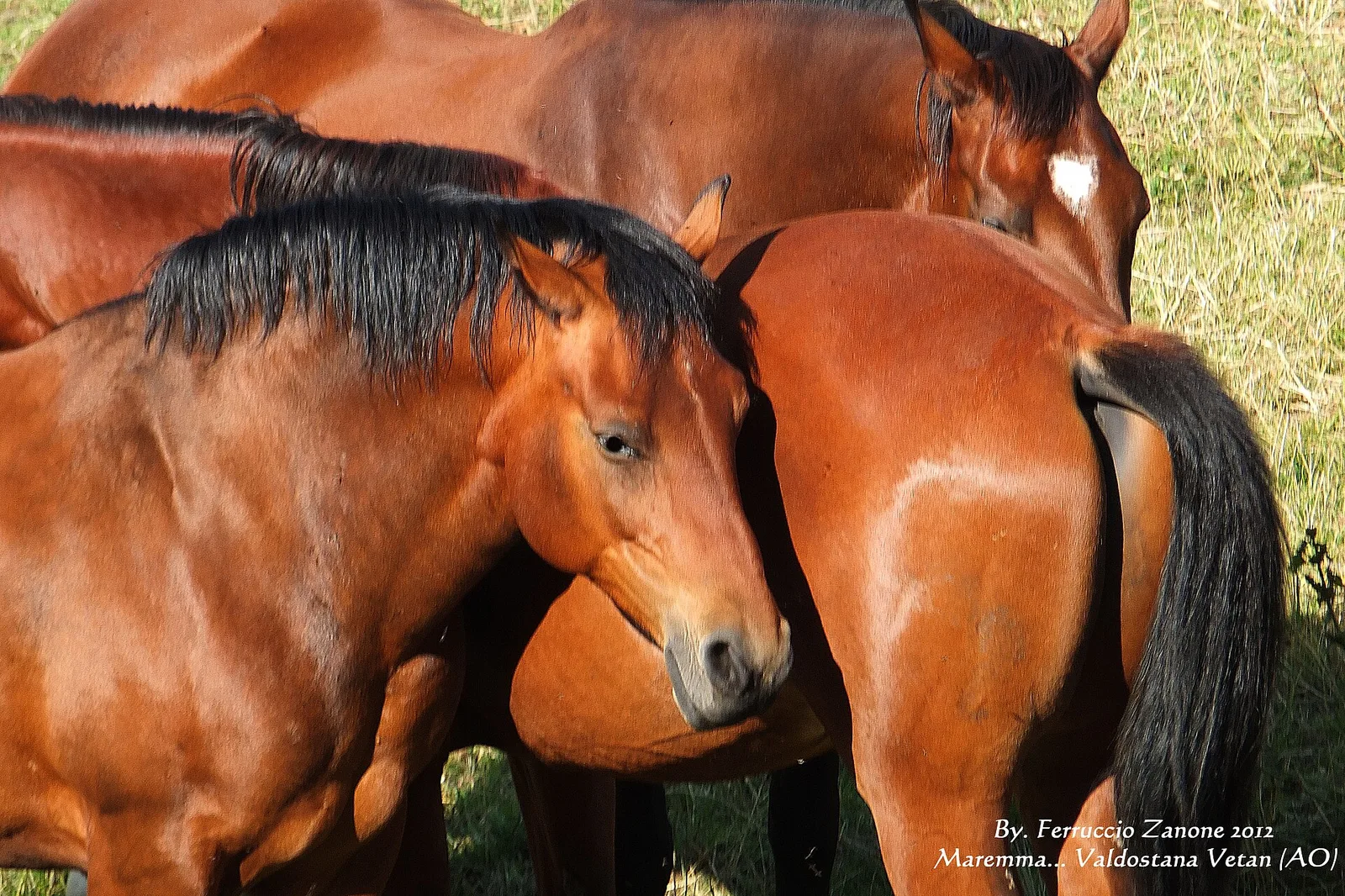
13.9 km · +1205 m · E — from Arpuilles to Vetan (Ayas Valley).
Valle centrale
18.7 km · +0 m · E — from Vetan to La Salle (Central Valley).
Val Ferret
10.4 km · +982 m · E — from Capoluogo to Rifugio Frassati (Central Valley).
Valle centrale
11.9 km · +0 m · E — from Rifugio Bonatti to Capoluogo (Great St Bernard Valley).
Valtournenche
17.4 km · +680 m · T — from Plan Porion to Plan Porion (Valpelline).
Valpelline
4 km · +235 m · E — from Crétaz to Crétaz (Lys Valley).
Valtournenche
4.6 km · +581 m · E — from Triatel to Santuario di Gilliarey (Valpelline).
Valle centrale
A short climb in the Valdigne from Vedun, via Châtelet, to the pastures of the Alpe Or de Breuil, above La Salle.
Valle del Lys
3.4 km · +311 m · E — from Prima di Gressoney-La-Trinité to Alpezu grande (Champorcher Valley).
Valle centrale
7.3 km · +909 m · E — from Villeneuve to Petit Poignon (Central Valley).
Valle centrale
4.2 km · +632 m · E — from Voix to Champromenty (Central Valley).