Gerbore - Mont Greumé
1.6 km
+197 m
−0 m
1 h
Nivel físico
Mapa y ruta
Traza GPX — verifica sobre el terreno antes de caminar
Descripción
Puntos clave
Salida
Gerbore · 1636 m
Llegada
Mont Greume · 1839 m
Sendero
S13
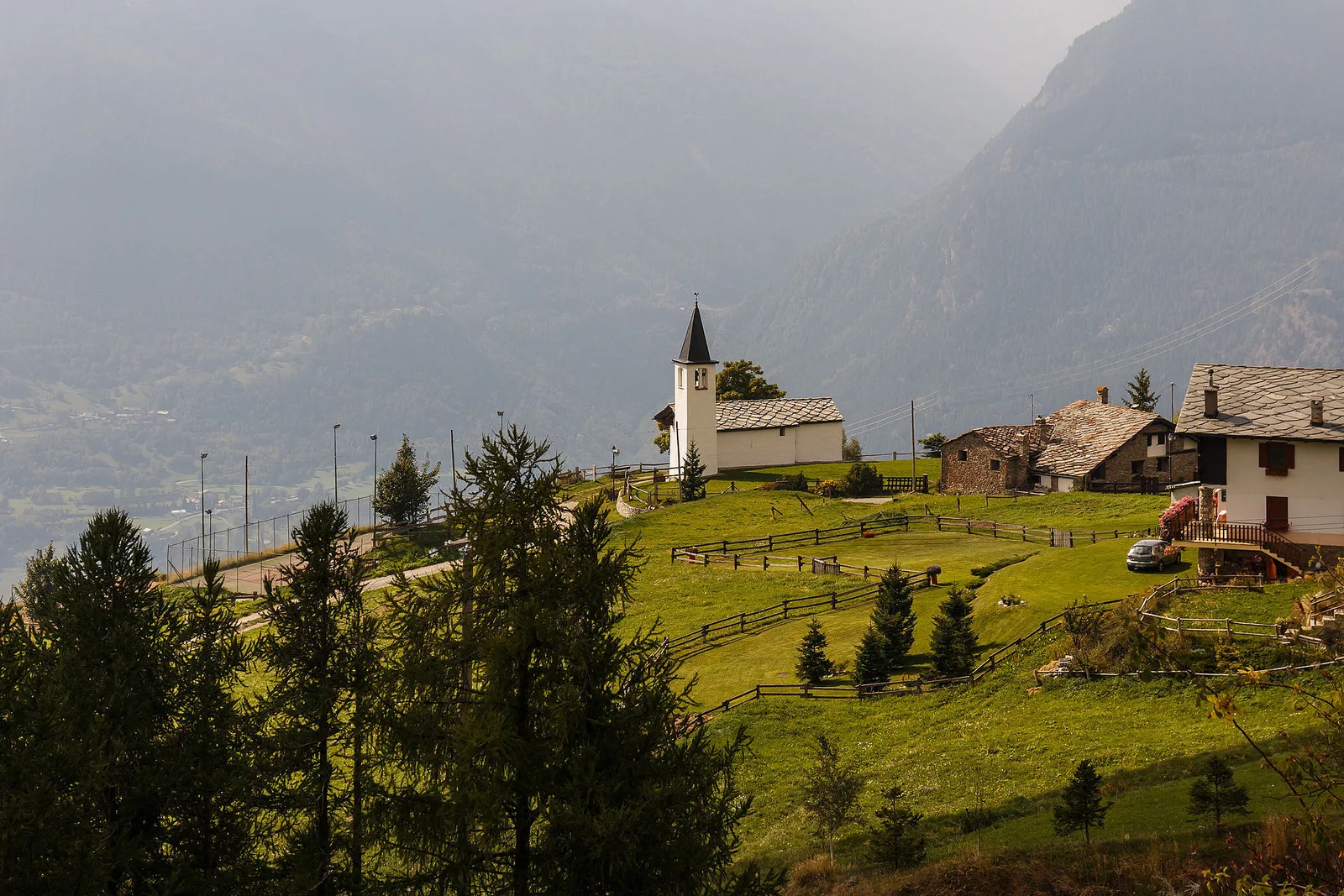
Gerbore - Mont Greumé is an official trail from the Aosta Valley trail registry (code 61_S13). The route lies in the municipality of Saint-Pierre, in the Central Valley. From Gerbore (1636 m) to Mont Greume (1839 m): 1.6 km with +197 m of elevation change, difficulty E (CAI scale). Minimum elevation 1636 m, maximum 1839 m. Recommended season per registry: Giugno-ottobre (months 6, 7, 8, 9, 10). GPX track and elevation data from Regione Autonoma Valle d'Aosta (open data DGR 899/2014).
Aparcamiento
Galería de fotos
Photos are published immediately. JPG/PNG/WebP, max 6 MB.
Fauna que observar
AEditado y verificado por Andrea Rama
Fuente de datos: Catasto Sentieri Regione Autonoma VdA · Open data — DGR 899/2014
Última verificación:
Valle centrale
Senderos relacionados
Mismo valle o rutas similares — más excursiones por descubrir.

Valle centrale
Anello del Verrand
2.6 km · +233 m · E — from Château Verrand to Château Verrand (Rhêmes Valley).

Valle centrale
Area giochi Croux - Parleyaz
4.1 km · +476 m · E — from Area giochi Croux to Parleyaz (Central Valley).

Valle centrale
Arlier - Cloutraz (Pontey)
From Arlier (603m) to Cloutraz (1067m) on the Châtillon hillside: 3.5 km E through vineyards, woodland and views over the Dora Baltea.

Valle centrale
Arpilles - Champromenty
2.1 km · +333 m · E — from Arpilles to Champromenty (Lys Valley).