E
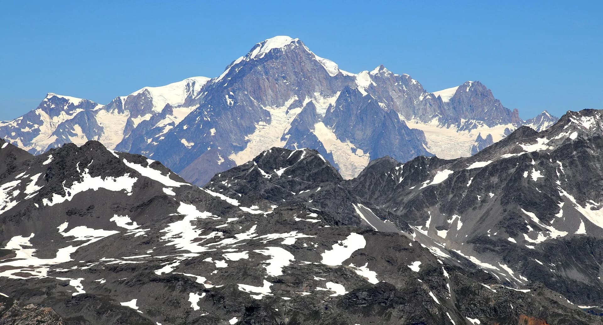
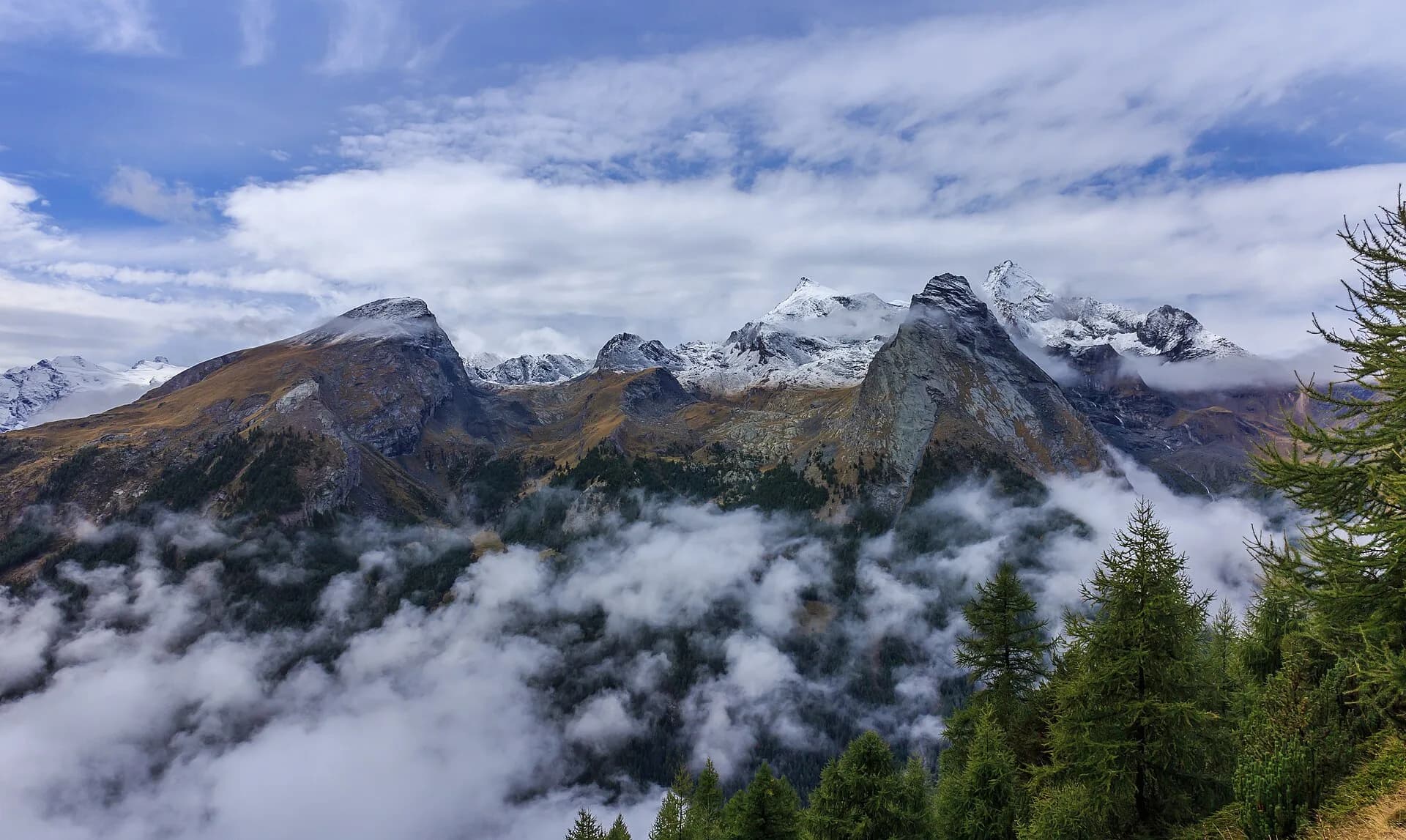
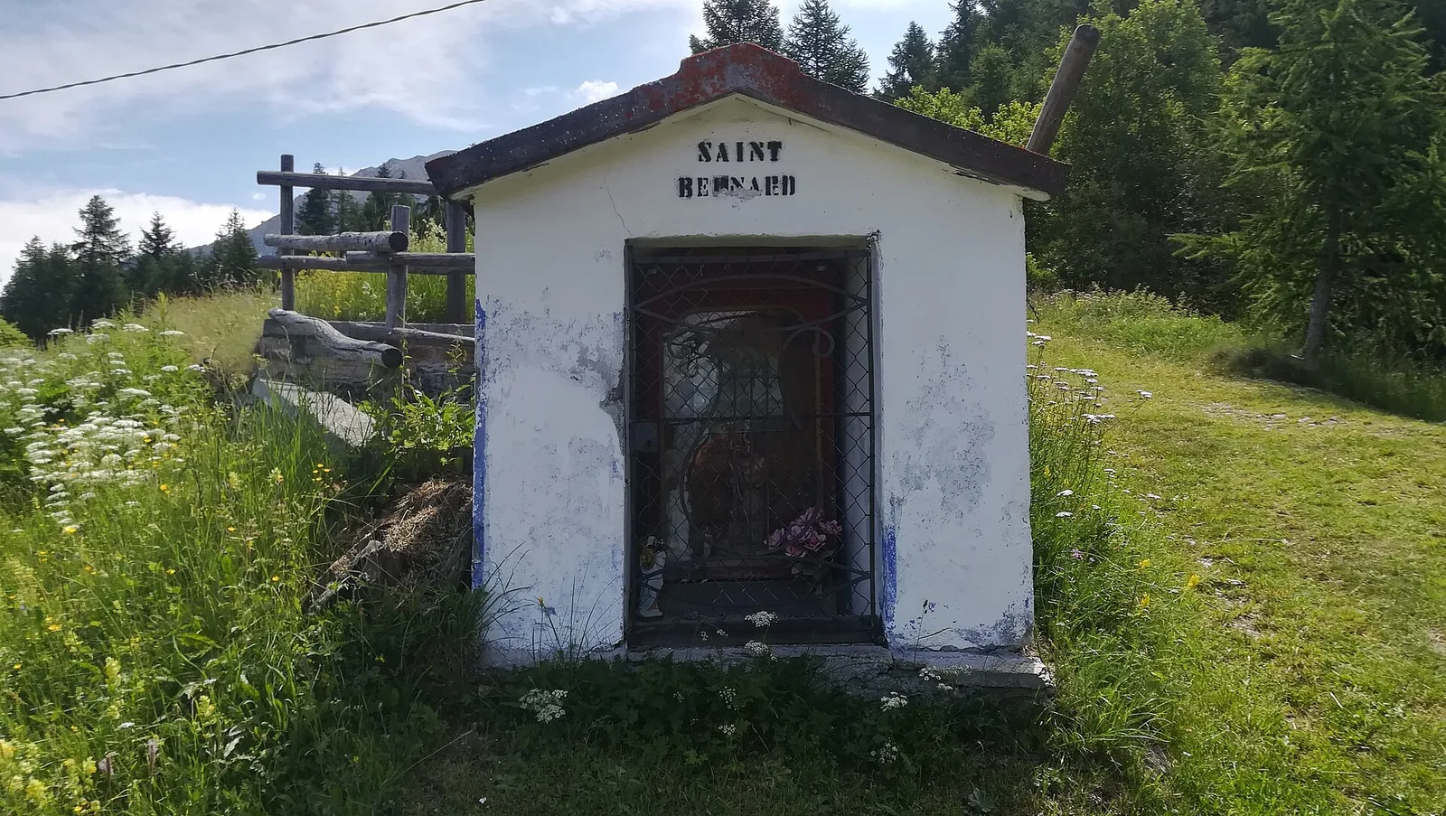
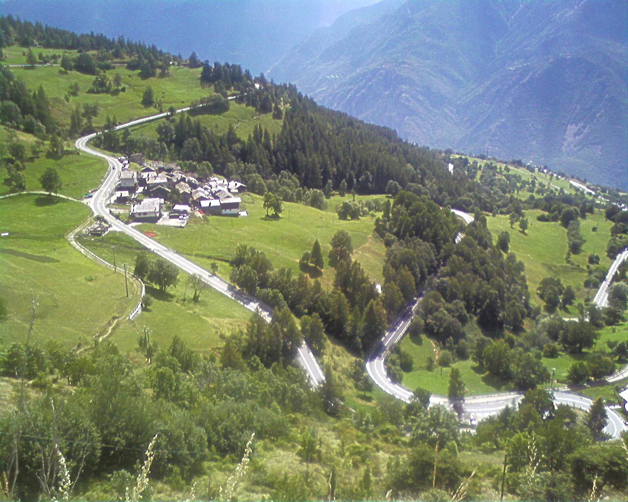
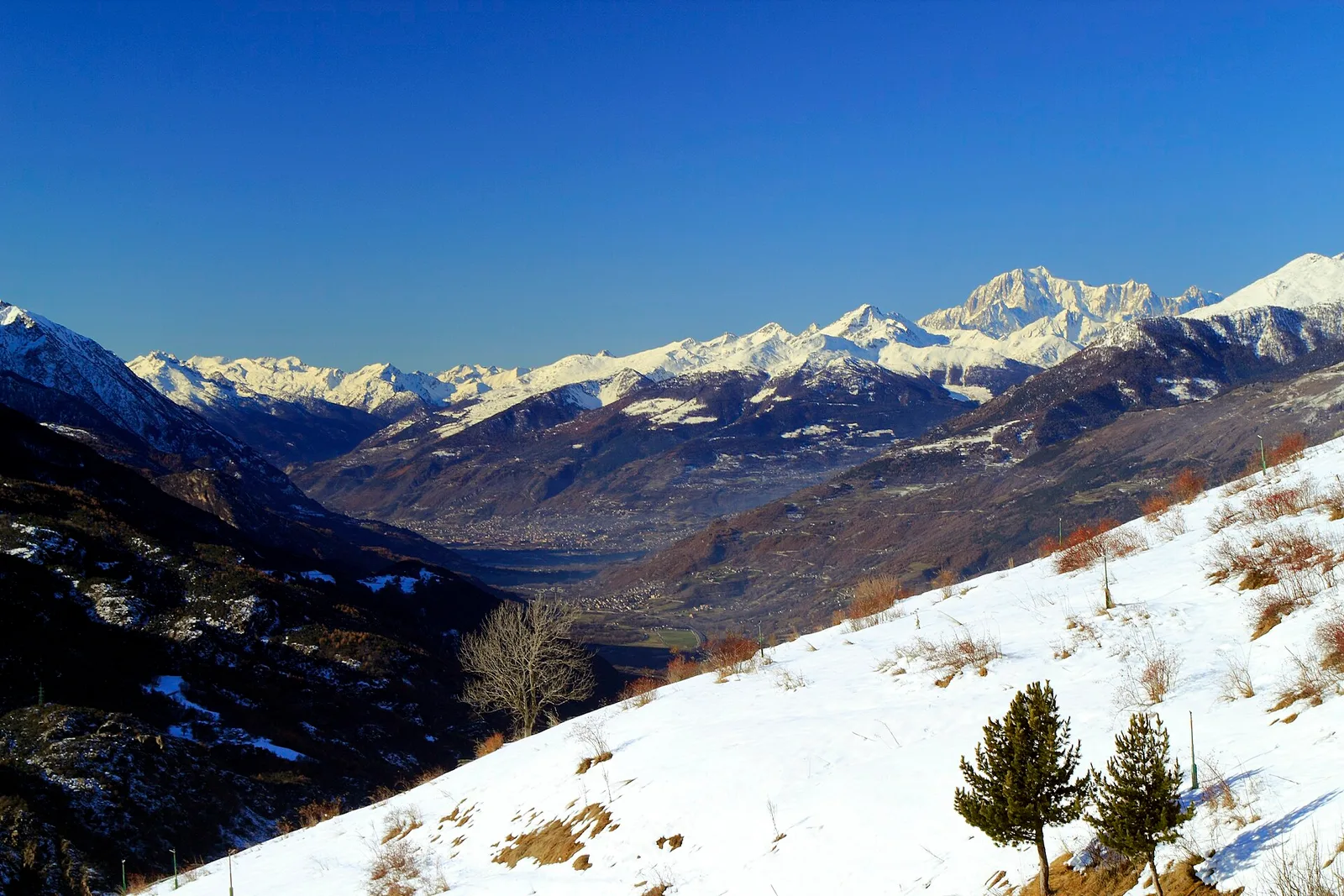
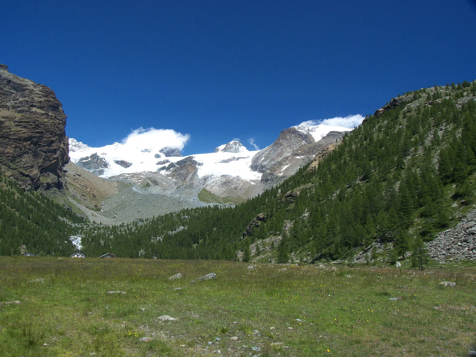
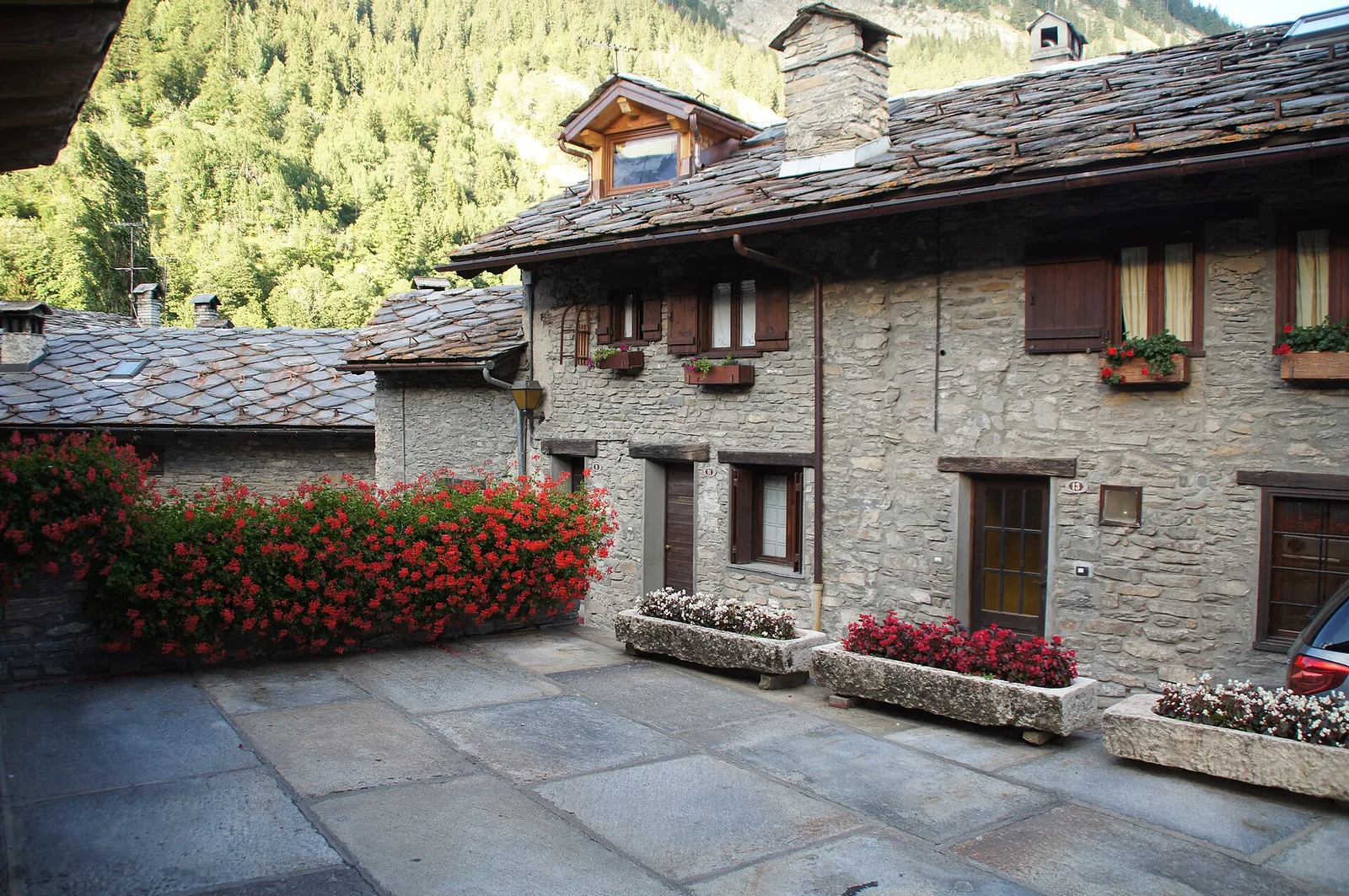
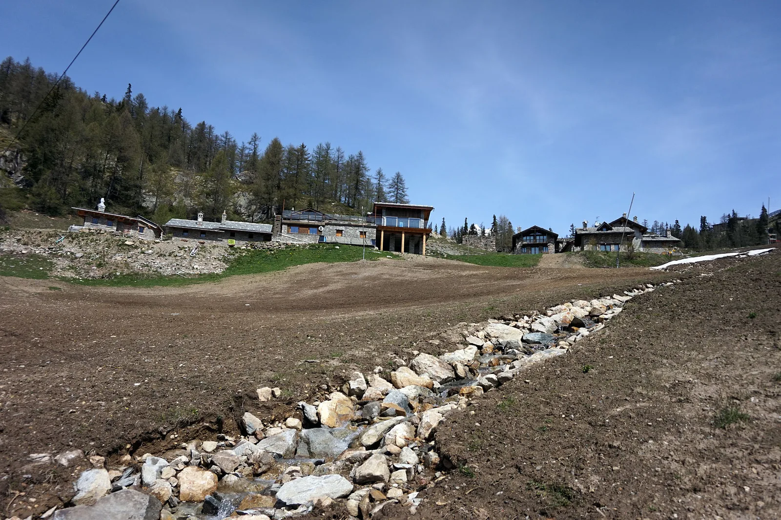
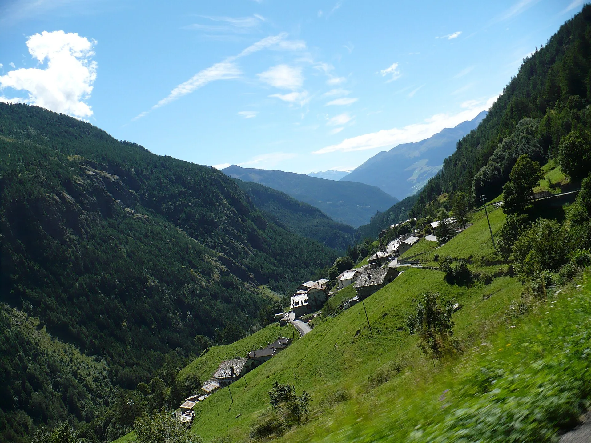
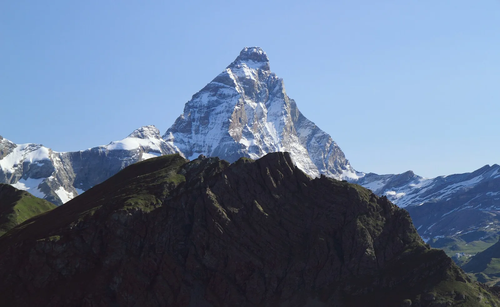
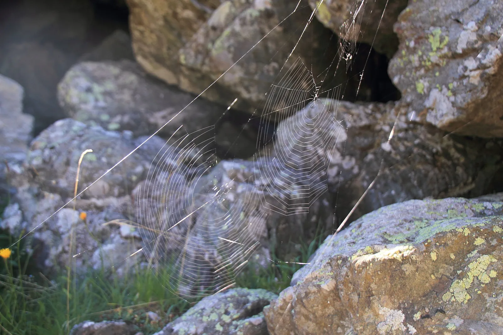
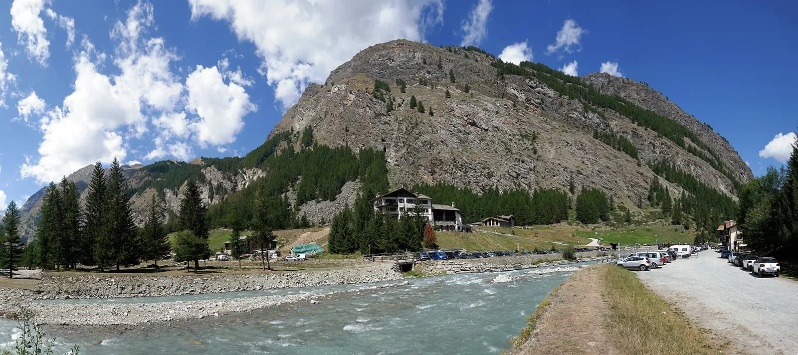
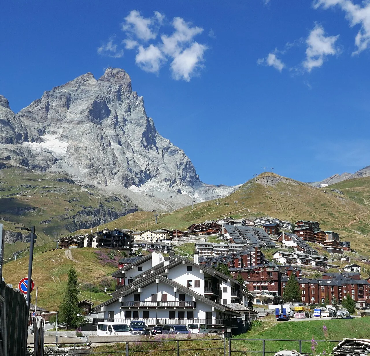
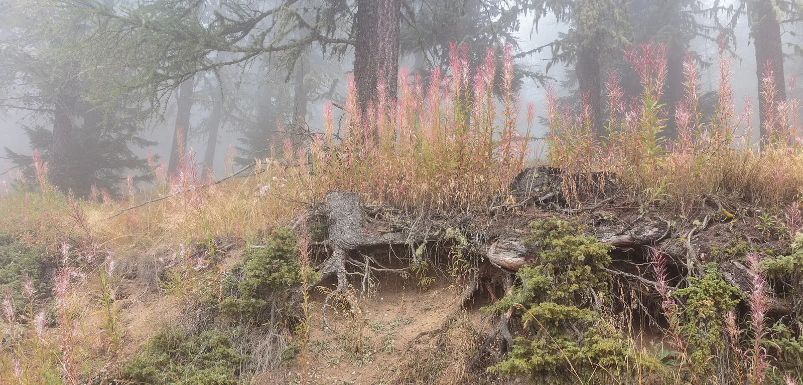
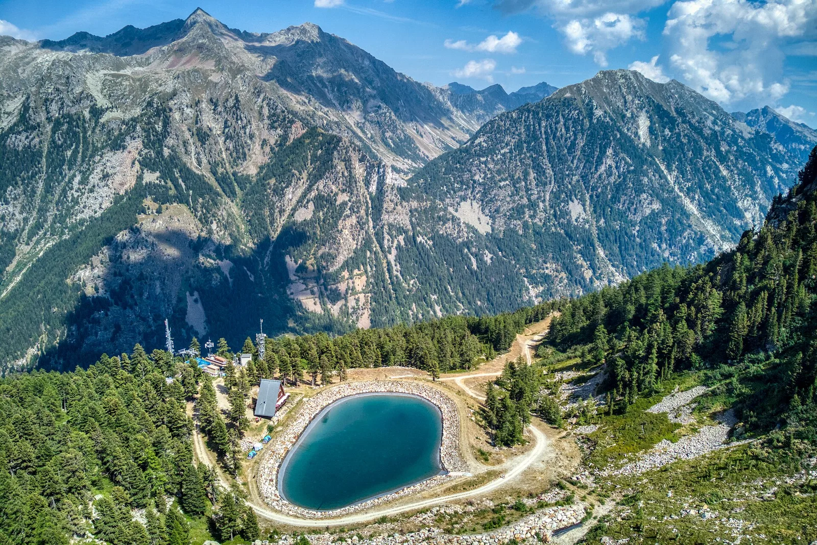
Val Veny
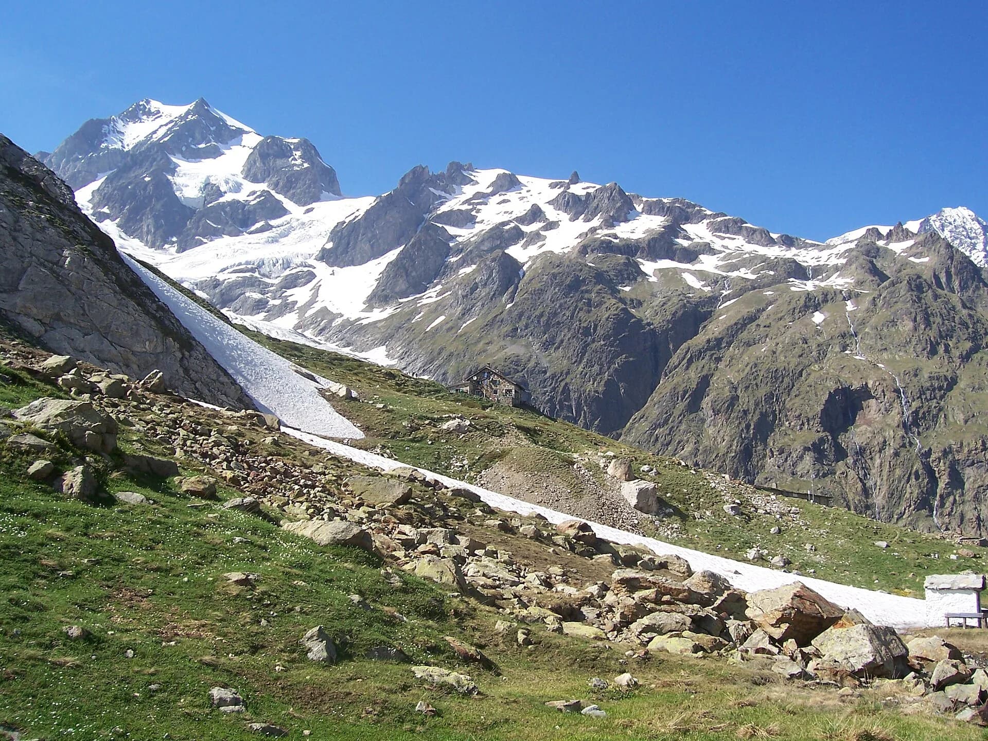
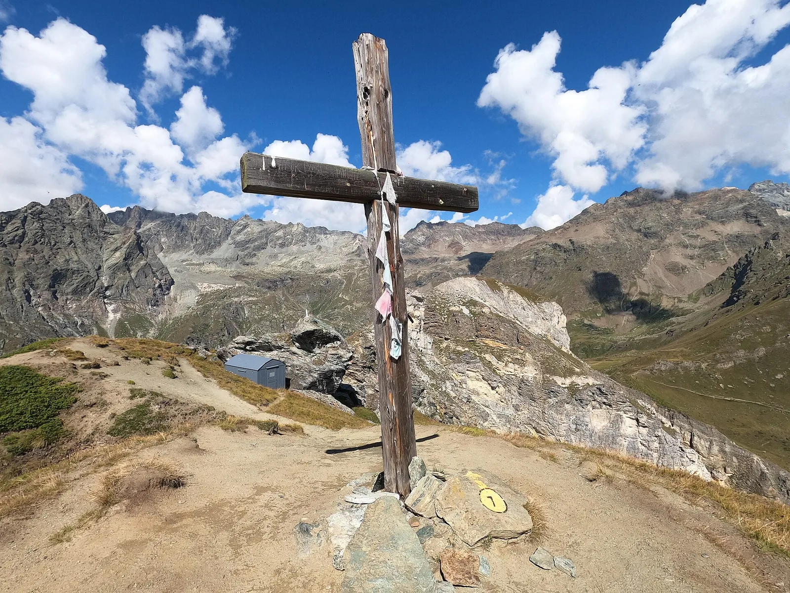
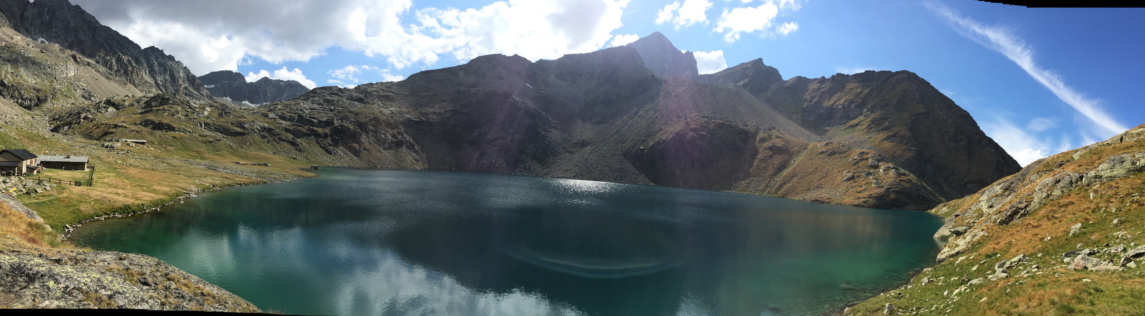
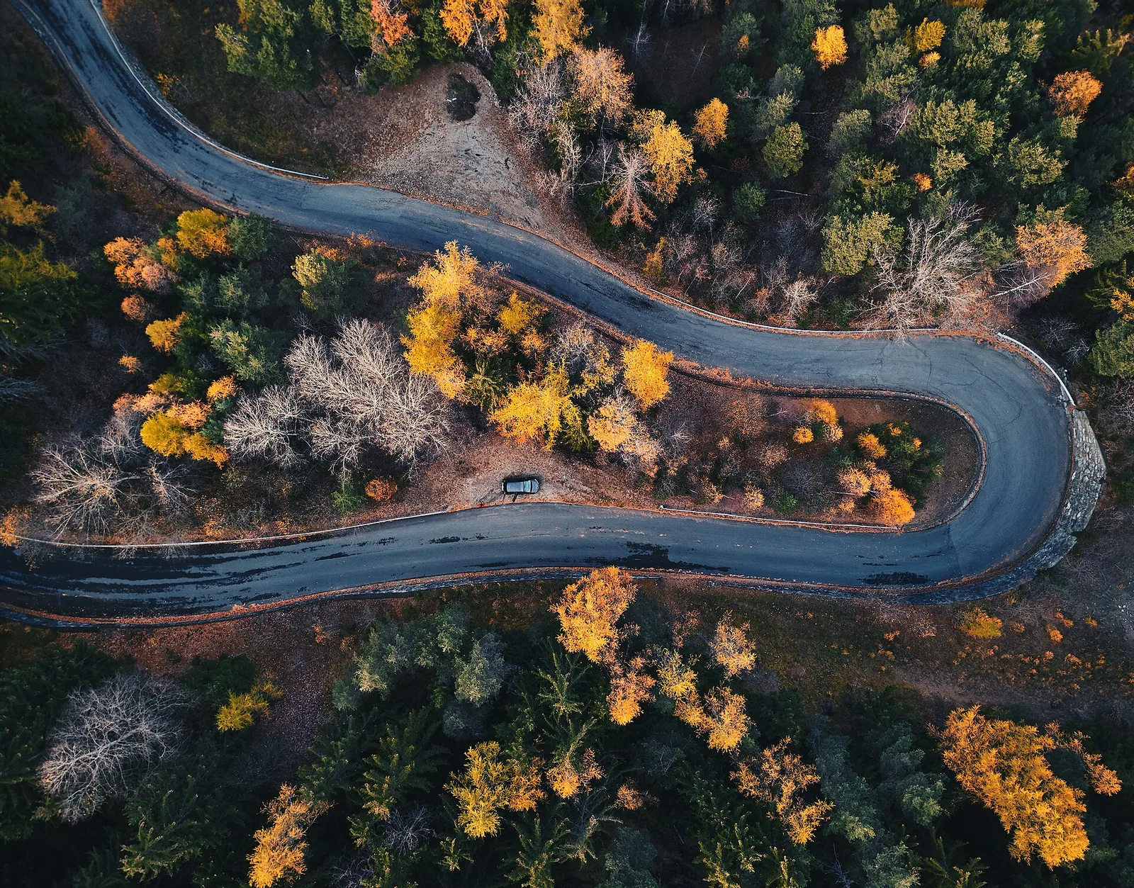
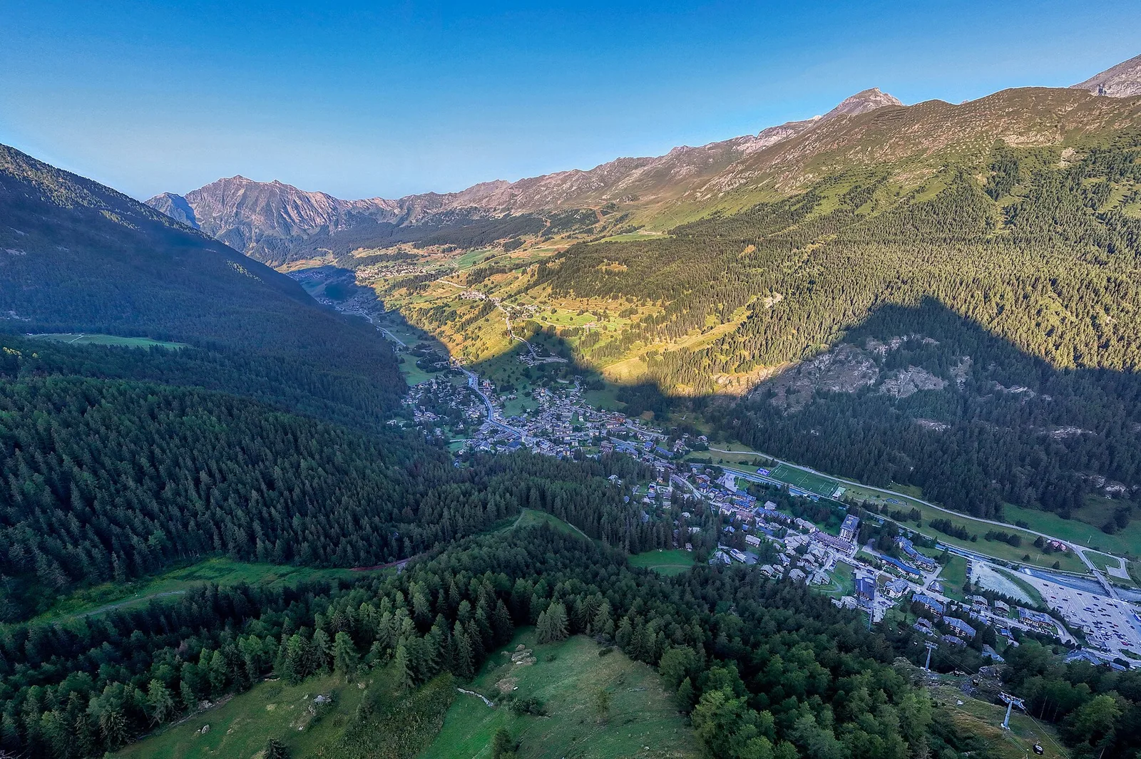
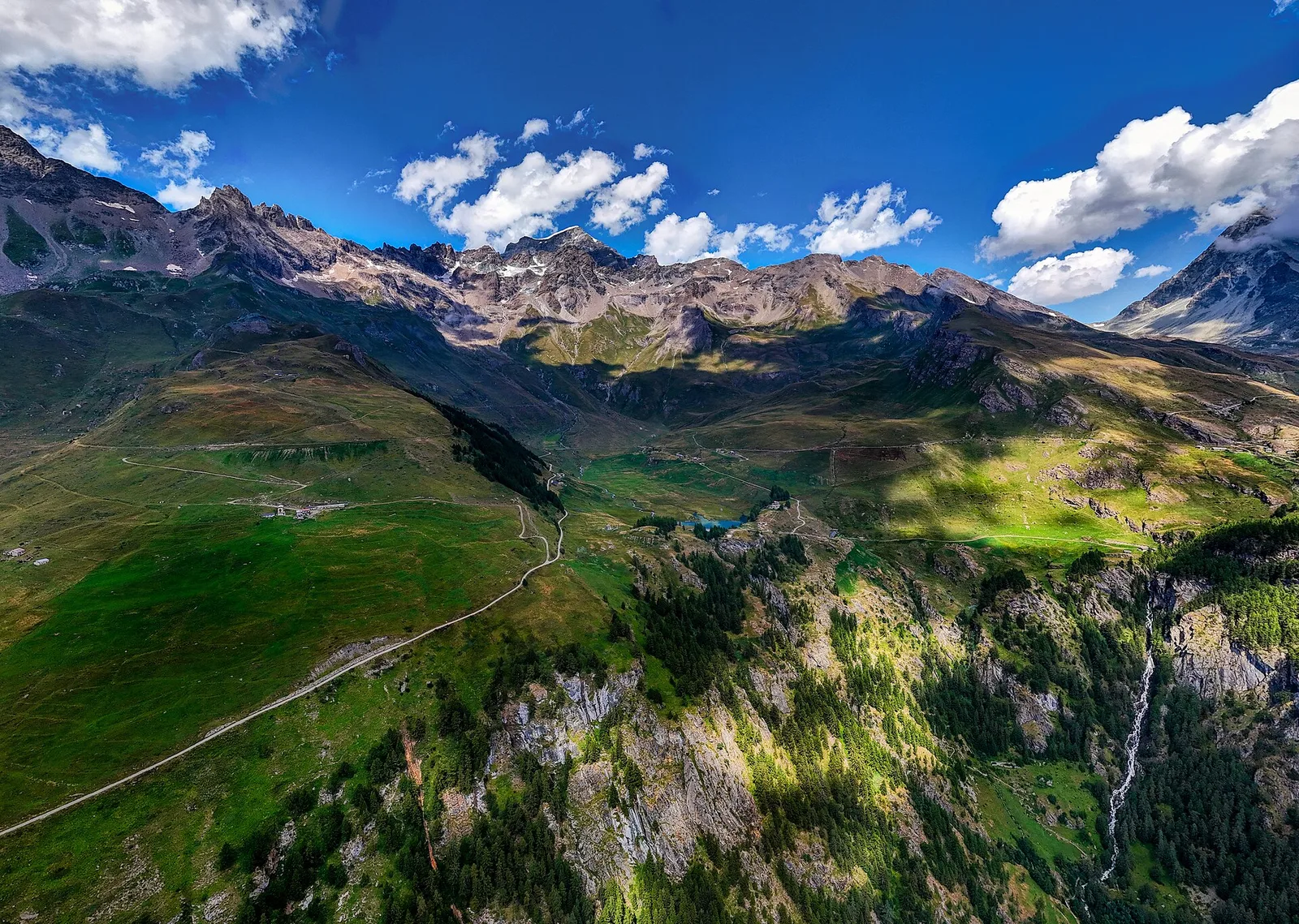
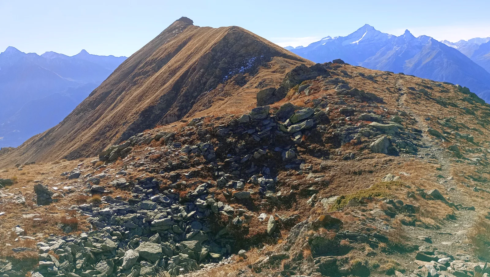
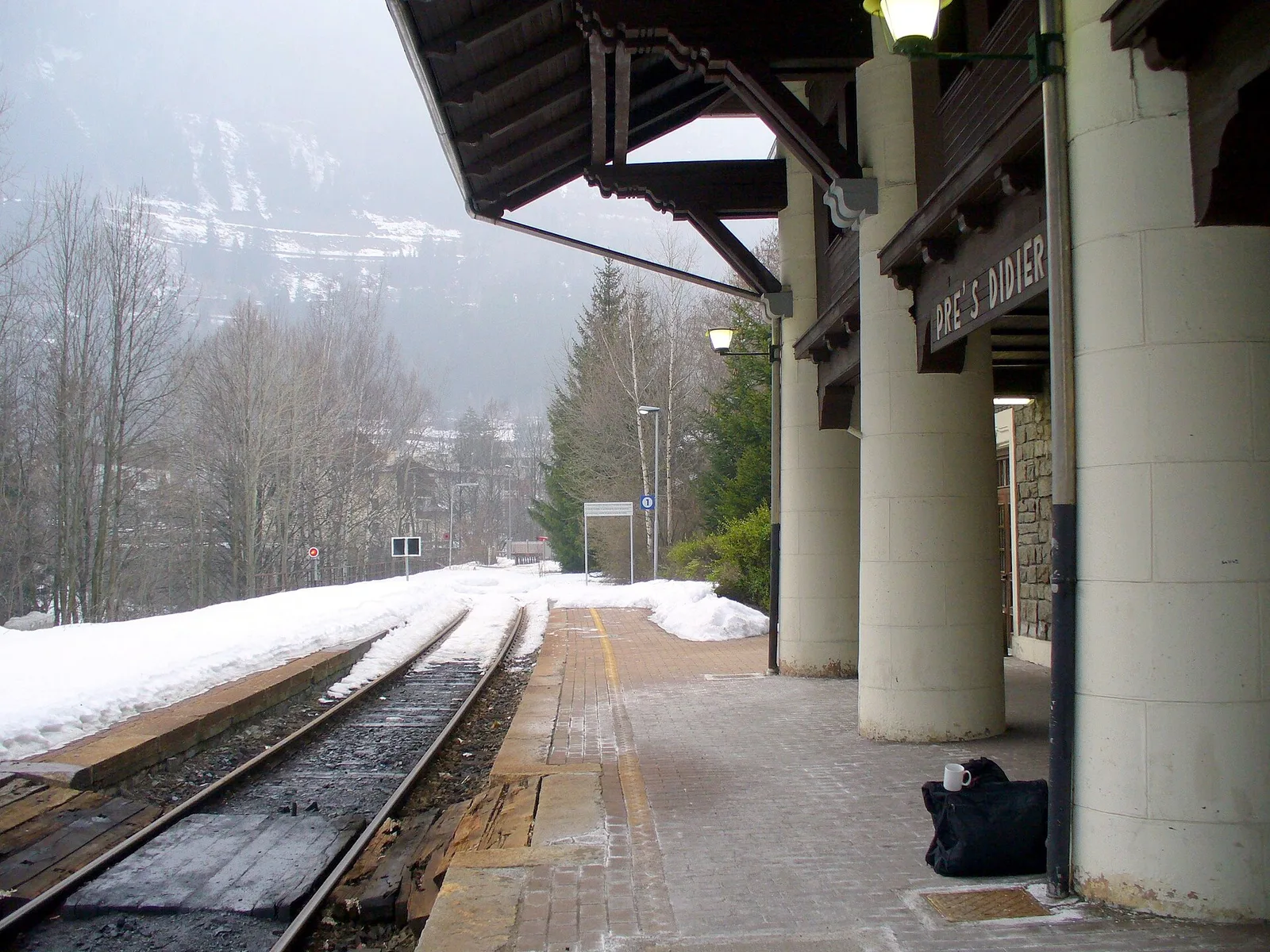
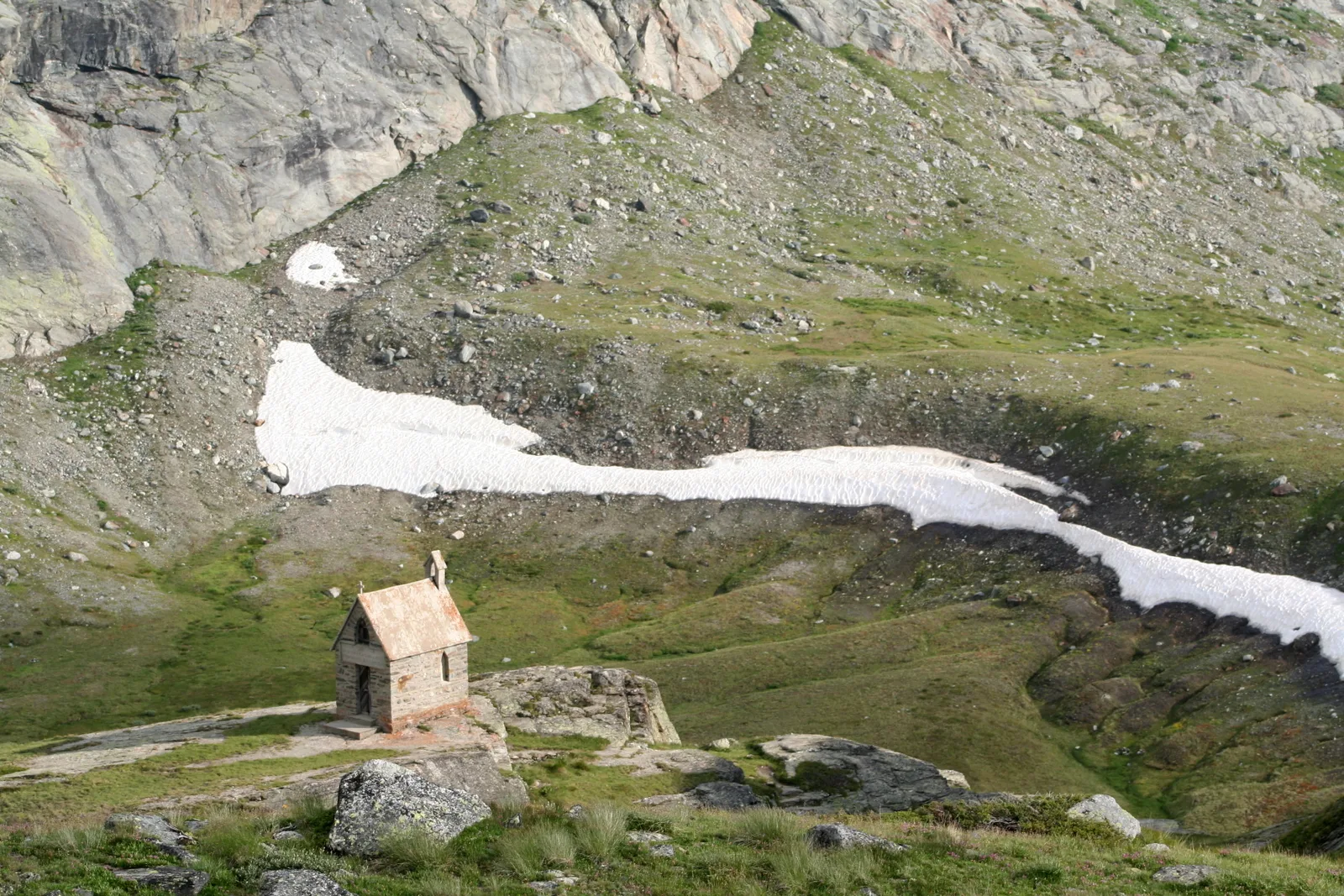
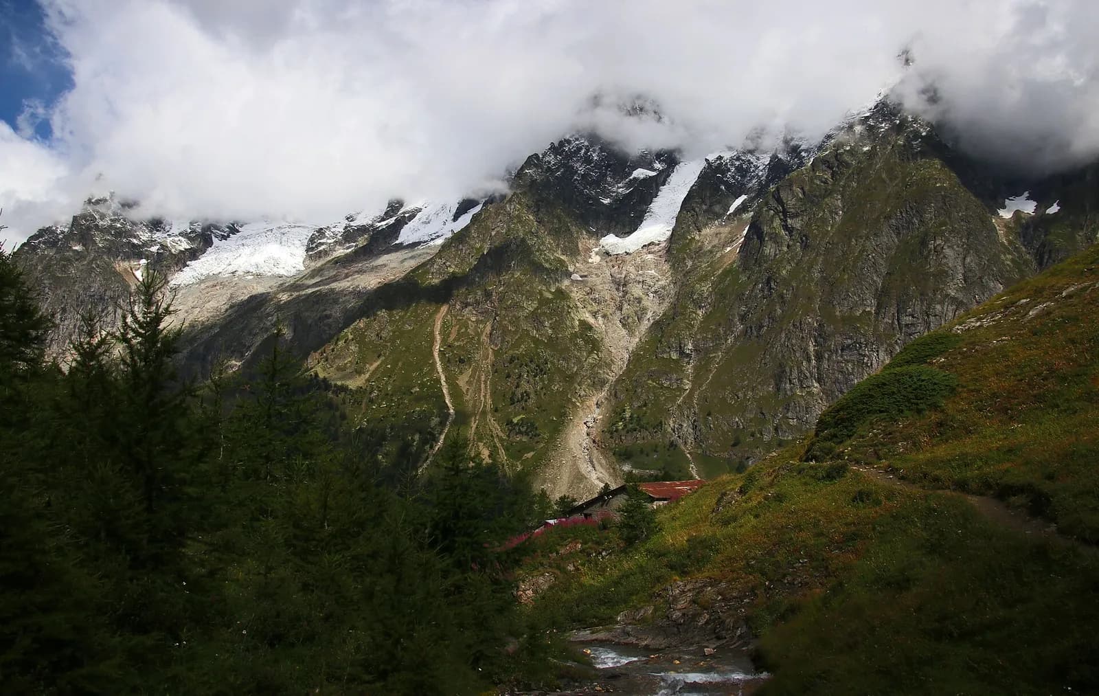
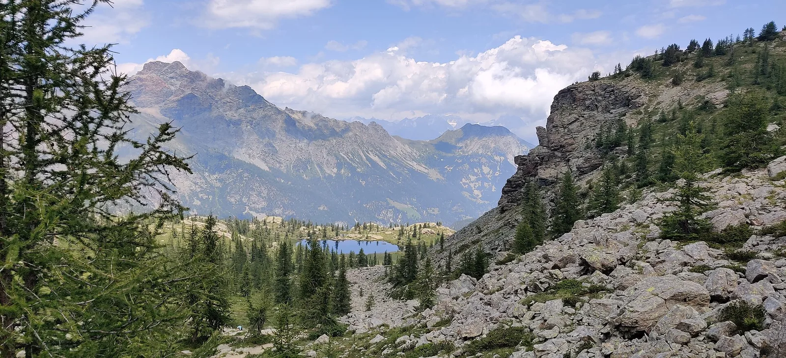
High Route 2 — Stage 1: Courmayeur → Rifugio Elisabetta Soldini
First stage of AV2: from Courmayeur to Rifugio Elisabetta in Val Veny, at the foot of Mont Blanc.
15 km+1406 m6 h
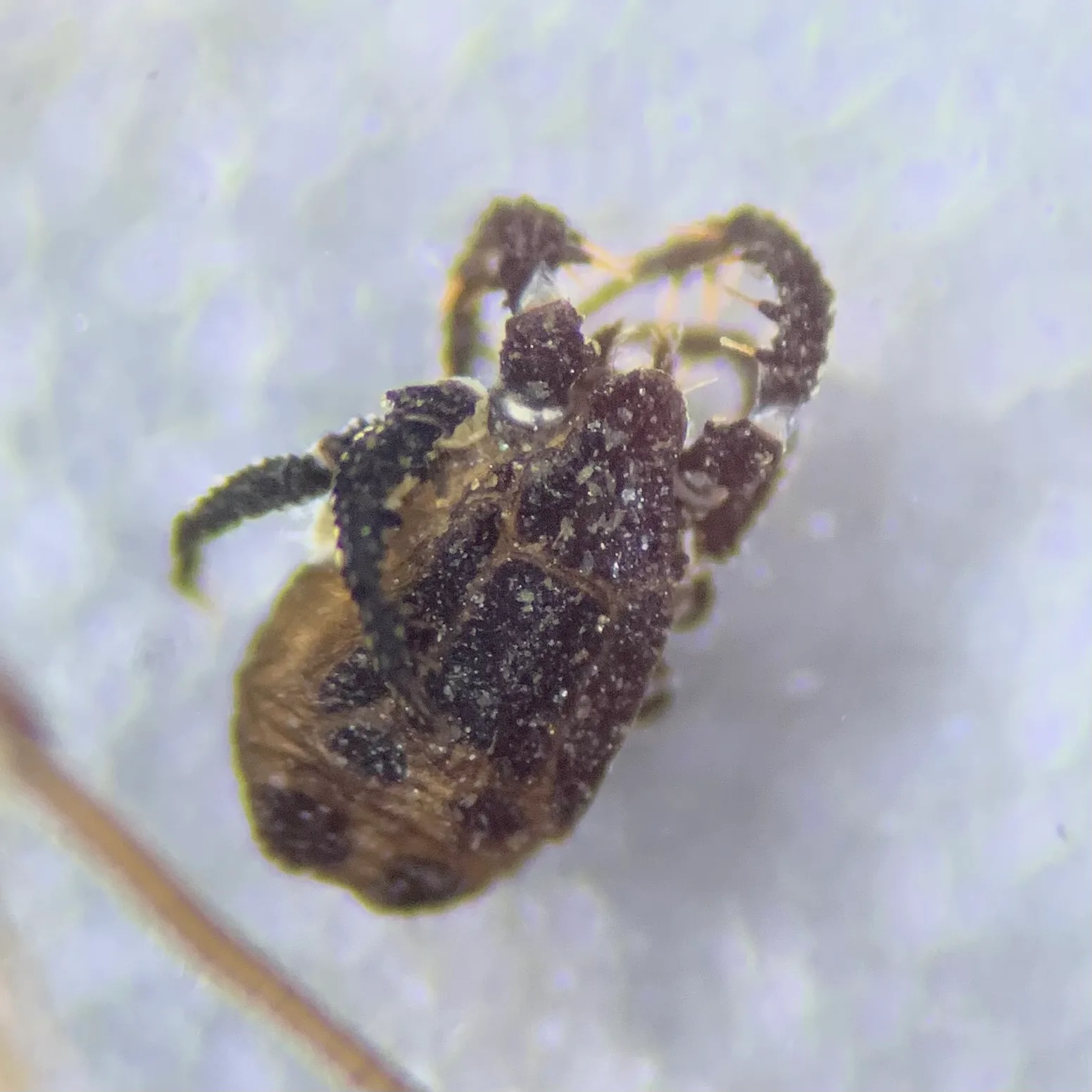
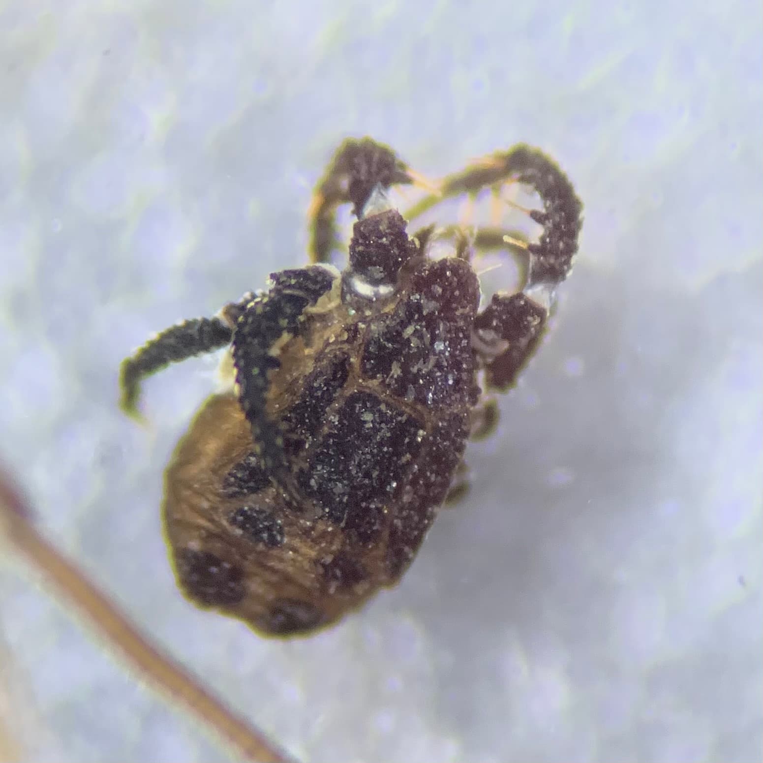
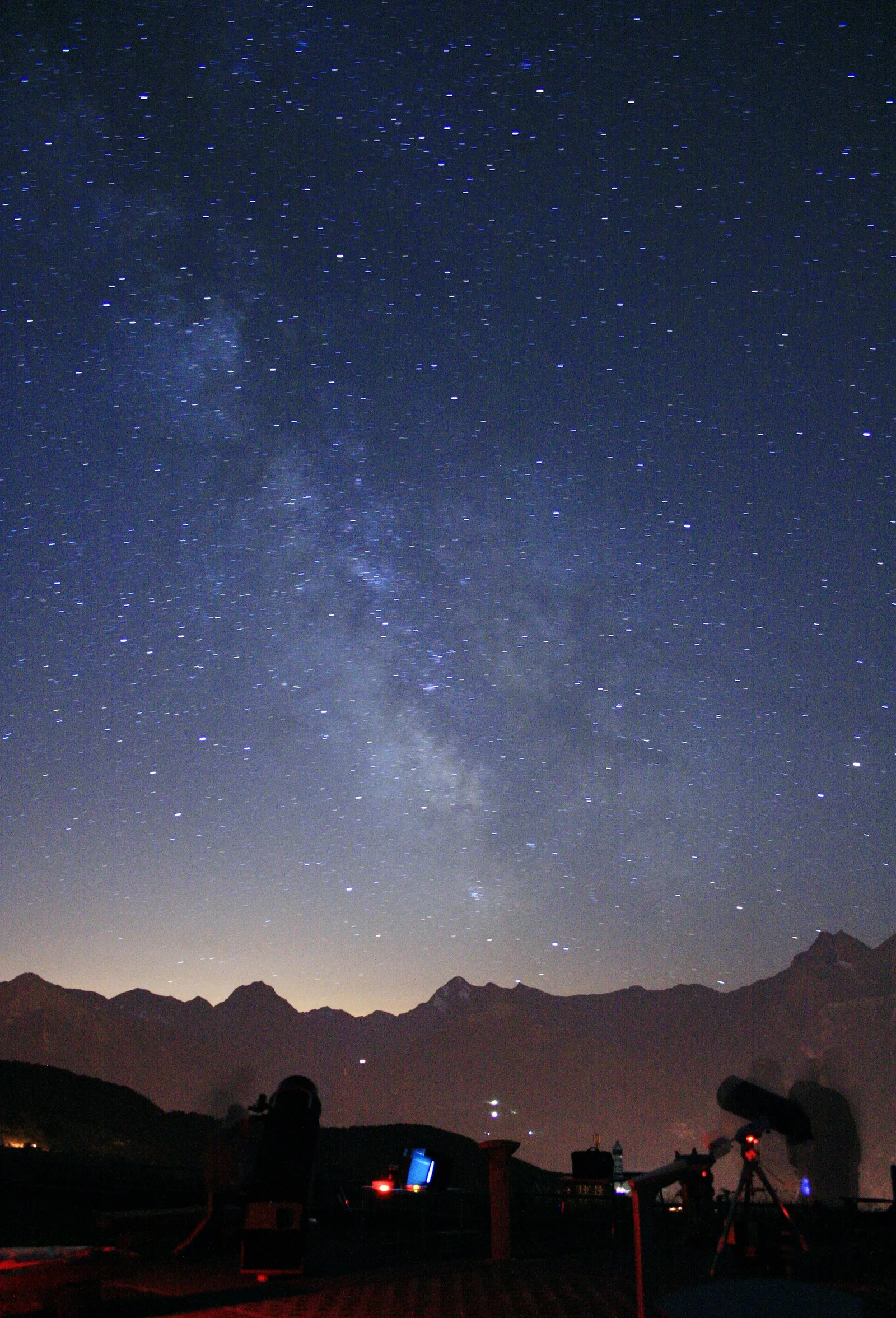
Where to spot
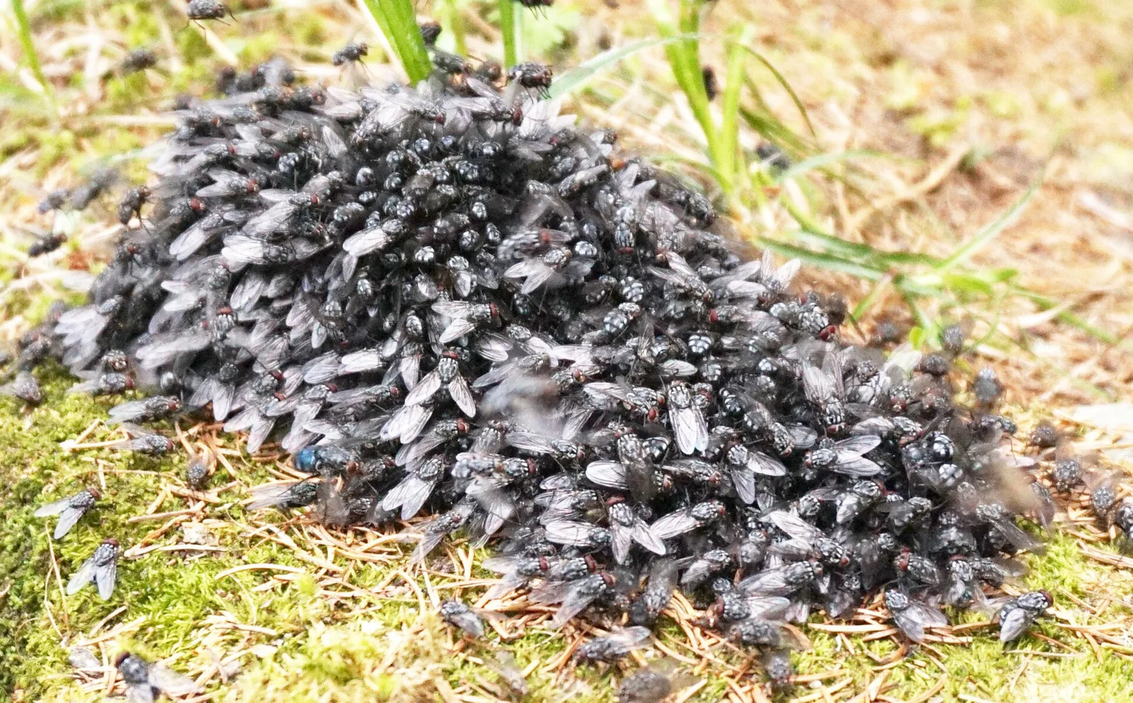
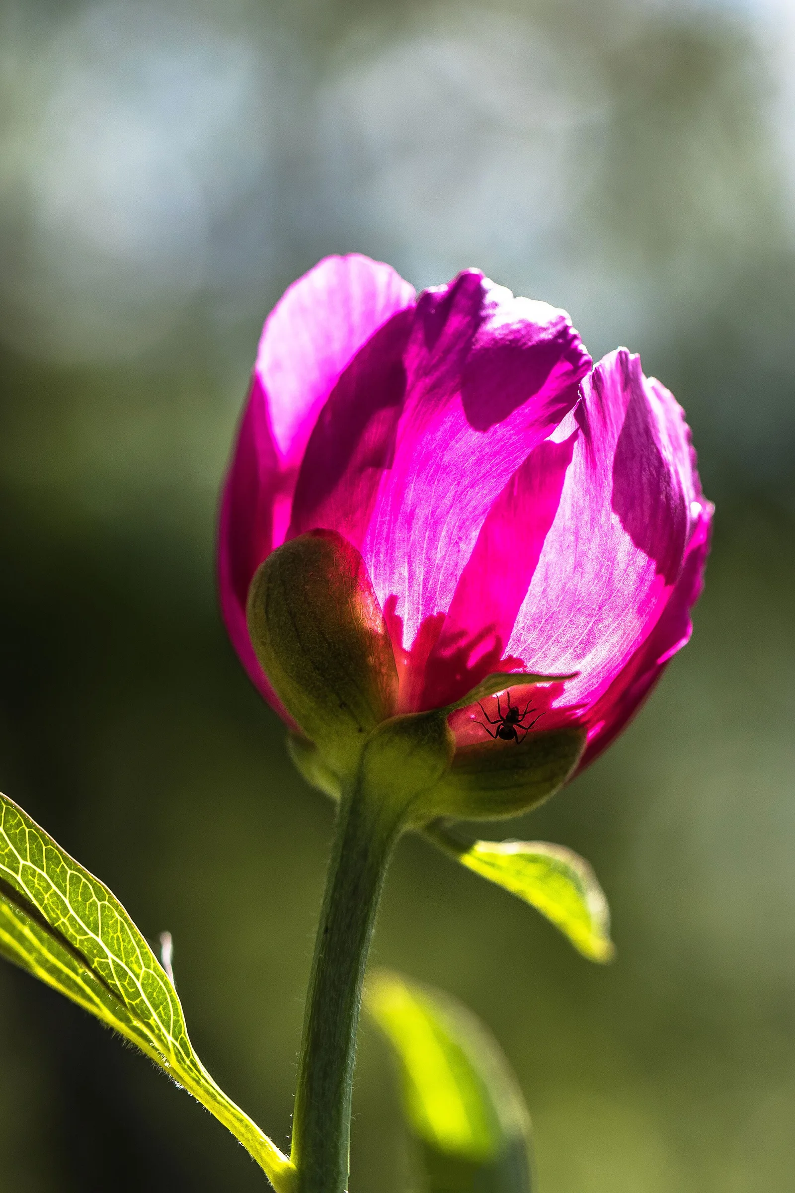
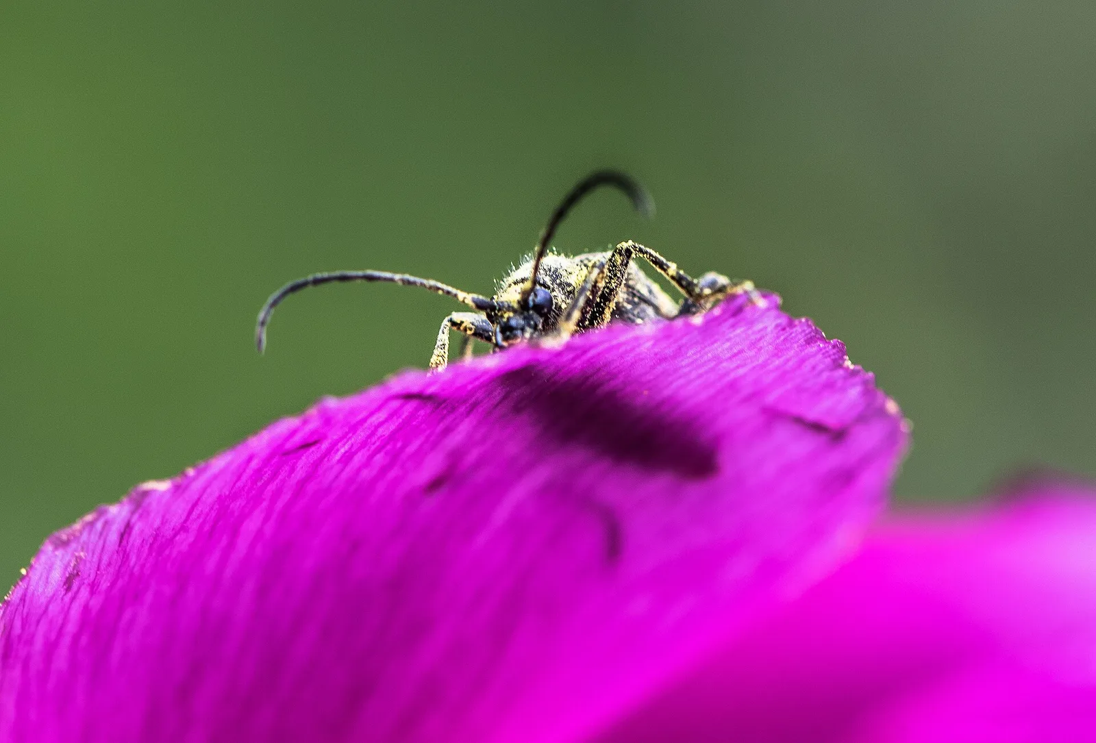
109 trails where Koch's gentian is listed in flora/fauna: difficulty T–EEA, elevation gain 0–1685 m.
109 · 0.7–18.0 km · +0–1685 m
Val Veny
First stage of AV2: from Courmayeur to Rifugio Elisabetta in Val Veny, at the foot of Mont Blanc.
Val di Cogne
Climb from Cogne centre to Rifugio Sogno di Berdzé at Péradzà.
Champorcher
Cross Fenêtre de Champorcher and Lake Misérin to Dondena.

Champorcher
Descent along the «Scaletta» trail to Champorcher village.
Champorcher
Long stage to Crest-Damon with climb to Colle della Fricolla.
Bassa Valle
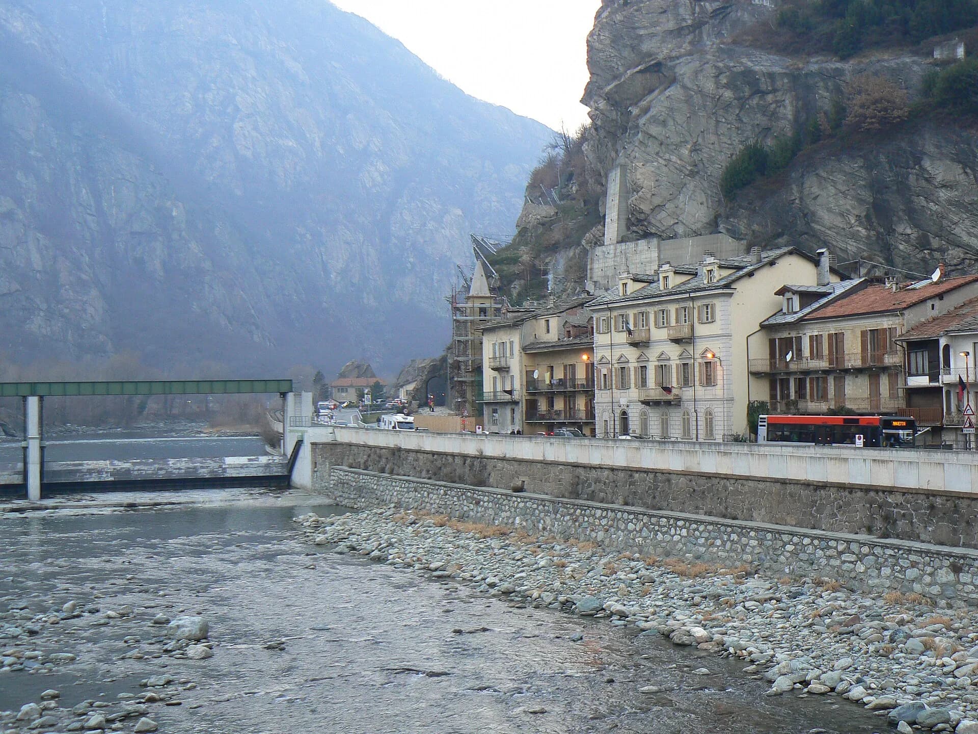
Final AV2 stage: from Retempio sanctuary to Donnas in the valley floor.
Val Veny
Descent from Col des Chavannes to La Thuile across pastures and the La Thuile valley.
La Thuile
Climb to Rifugio Deffeyes and Promoud bivouac in the Rutor valley.
La Thuile
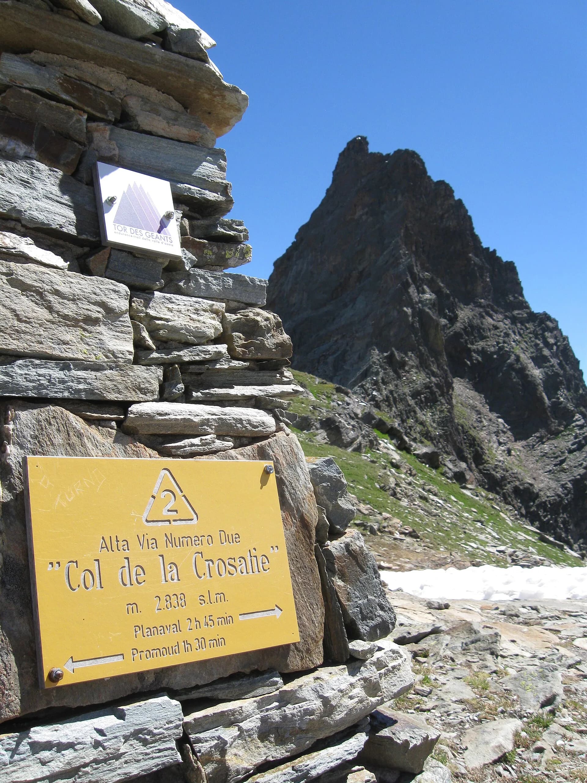
Cross Col de la Crosatie and descend toward Planaval in Valgrisenche.
Valgrisenche
Cross Valgrisenche to Rifugio Chalet de l'Épée.
Valgrisenche
Descent from Col Fenêtre to Val di Rhêmes and Rhêmes-Notre-Dame.
Val di Rhêmes
Iconic AV2 stage: Col Entrelor, Lake Djouan and descent to Eaux-Rousses.
Valsavarenche
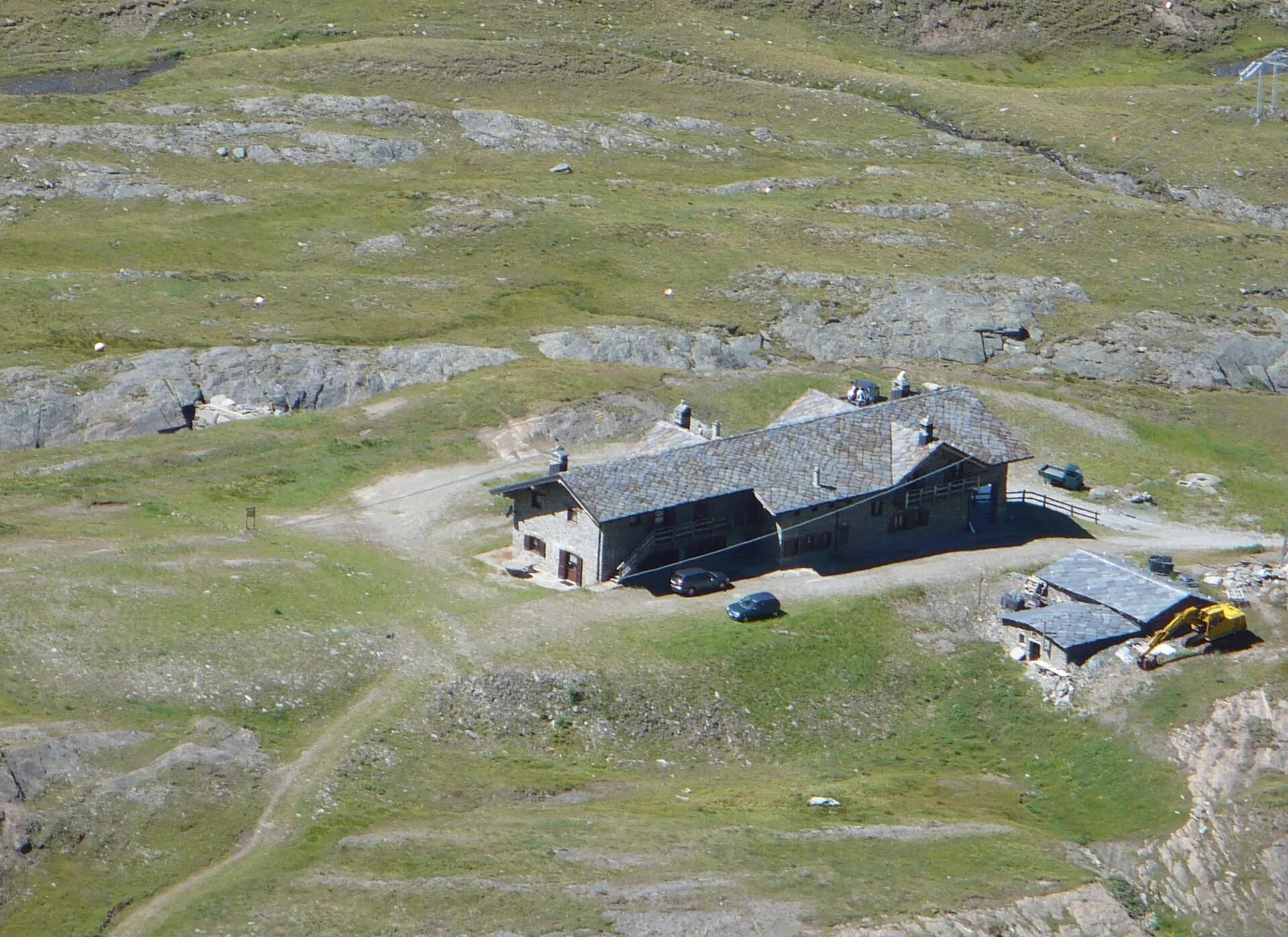
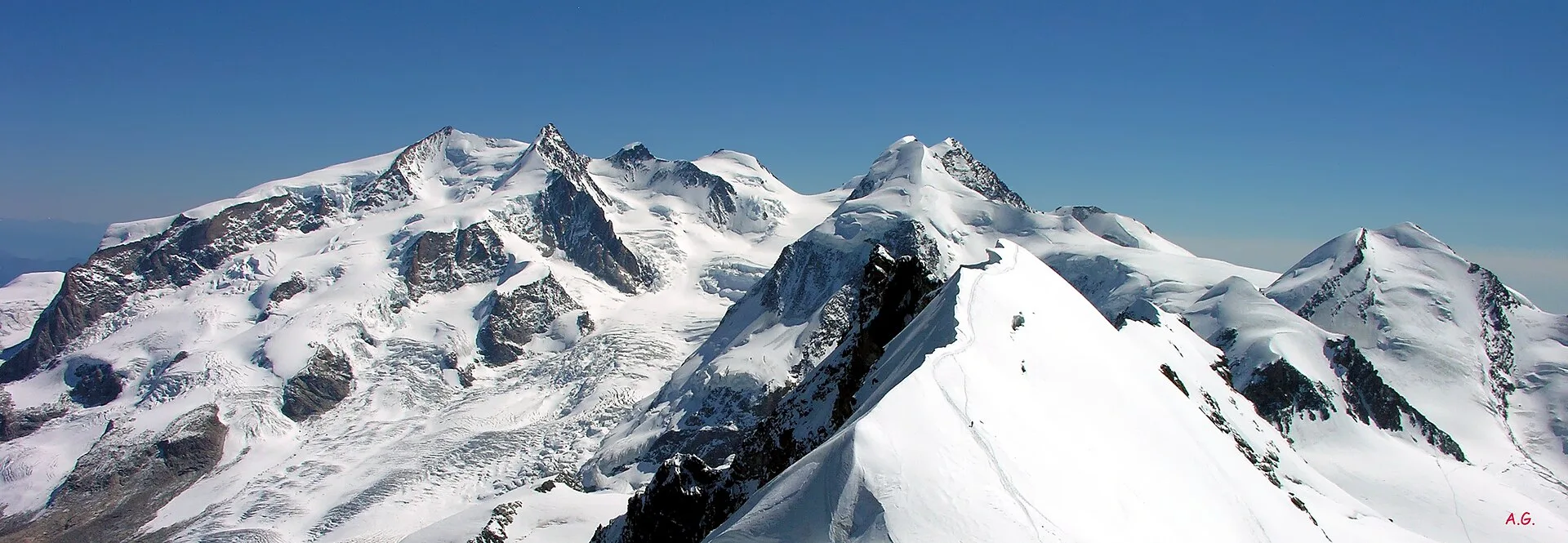
Highest stage on VdA High Routes: Col du Loson (3296 m) and Rifugio Vittorio Sella.
Val di Cogne
Scenic descent from Vittorio Sella to Cogne via Valnontey.
Valtournenche
2 km · +107 m · E — from area pic-nic to Falegnon (Central Valley).
Val Veny
3.6 km · +420 m · E — from Area pic-nic Plan Veny to Lac du Breuillat (Great St Bernard Valley).
Val Veny
3.4 km · +997 m · EEA — from Area pic-nic Plan Veny to Rifugio Monzino (Great St Bernard Valley).
Valle centrale
3.1 km · +0 m · E — from Arpisson to Ponteille (Lys Valley).

Valpelline
Upper Valpelline, Bionaz: an E-rated route toward a glacial objective over open terrain.
Val di Cogne
From Bivacco Menabreaz (2546 m) to Col des Laures (3035 m): high altitude, EE terrain and sweeping views over the upper Valle centrale.
Valtournenche
2.8 km · +315 m · E — from Brengon (Cimitero de La Magdeleine) to Pilaz (Valdigne).
Valtournenche
6 km · +980 m · E — from Breuil-Cervinia to Colle Superiore delle Cime Bianche (Central Valley).
Valle del Gran San Bernardo
2.8 km · +516 m · E — from Buthier to Alpe e Rifugio Chaligne (Central Valley).
Valle del Gran San Bernardo
2.8 km · +516 m · E — from Buthier to Alpe e Rifugio Chaligne (Central Valley).

Valle di Champorcher
3.8 km · +903 m · E — from Castagnot to Colle d'Arcomy (Central Valley).
Valtournenche
3.1 km · +220 m · E — from Chamois to Col Pilaz (Central Valley).
Valle centrale
9.8 km · +1097 m · E — from Champex to Arp (Rhêmes Valley).
Valle centrale
Steep climb from Champsolin (762 m) to Ozein (1,371 m) in the Cogne Valley: 3.2 km with 596 m of ascent.
Valtournenche
0.7 km · +72 m · E — from Champtorné to Gortz� (Valpelline).
Valle di Champorcher
4.4 km · +507 m · E — from Chardonney to Champlong (Valtournenche).
Valle centrale
7 km · +1299 m · E — from Chenaux to Arpisson (Lys Valley).

Valle centrale
6.7 km · +1328 m · E — from Chenière to Arpisson (Lys Valley).
Valle centrale
2.2 km · +494 m · EE — from Chez Boz to Prapremier (Lys Valley).
Val d'Ayas
2.1 km · +0 m · E — from Crest to Mascognaz (Central Valley).

Valle di Champorcher
4.8 km · +708 m · E — from Fournier to Mandaz (Champorcher Valley).

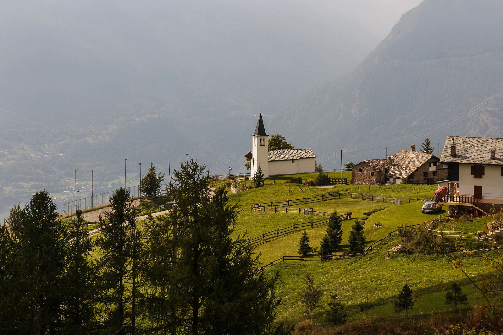
Valle del Gran San Bernardo
From Ville di Allein, an honest climb through pastures and larch woods to the Dortoir Baravex refuge at 1938 m, in the Great St Bernard valley.
Valle di Champorcher
2.9 km · +832 m · EE — from Dublanc to Tete du Mont (Valtournenche).
Valle di Champorcher
2.9 km · +832 m · EE — from Dublanc to Tete du Mont (Champorcher Valley).
Val d'Ayas
5.9 km · +1028 m · E — from X 1 e 2 to Col de Joux (Valtournenche).
Val d'Ayas
0.7 km · +133 m · E — from Erésaz to Borna da Ghiasa (Great St Bernard Valley).
Valle del Lys
6.6 km · +1385 m · EE — from Fey to Col d'Arche (Central Valley).
Bassa Valle
4.5 km · +938 m · E — from Fey to Croix Corma (Central Valley).
Val d'Ayas
1.5 km · +370 m · E — from Frachey to Varda (Central Valley).
Valle centrale
1.6 km · +197 m · E — from Gerbore to Mont Greume (Central Valley).
Val di Cogne
From Gimillan to the Lussert lakes (trail 8), Cogne: 8.2 km, +986 m, E. Three high lakes among ibex.
Val di Cogne
3.1 km · +95 m · E — from Gimillan to Tsavanis (Lys Valley).
Valpelline
5.8 km · +1117 m · E — from Glacier to Bivacco Rosazza/Savoie (Valpelline).
Valle di Champorcher
2.7 km · +540 m · EE — from Gontier to Col d'Arcomy (Valtournenche).
Valtournenche
In the commune of Torgnon, Valtournenche: a panoramic route through forest, pastures and hamlets of the Aosta Valley mid-mountain.
Valle di Champorcher
1.8 km · +425 m · EE — from Grand Rosier to Tete du Mont (Valtournenche).
Valle centrale
7.4 km · +1321 m · E — from Hermitage to Verrand (Great St Bernard Valley).
La Thuile
6.1 km · +889 m · E — from Joux to Rifugio Deffeyes (Lys Valley).
Valle del Gran San Bernardo
12.3 km · +890 m · E — from La Cheriettes to Alpe Ars (Central Valley).
Valle centrale
3.3 km · +580 m · E — from Lac du Joux to Col du Mont.Joux (Central Valley).
Valle centrale
5.9 km · +802 m · E — from Thouraz to Lago Fallère (Valgrisenche).
Valle del Lys
2.1 km · +538 m · E — from Lago Gover to Alpe Jatza (Champorcher Valley).
Val di Cogne
6 km · +975 m · EEA — from Levionaz to Passage du Grand Neyron (Ayas Valley).
Valle centrale
7.7 km · +287 m · E — from Lignan to Champlaisant (Valpelline).
Valle centrale
5.2 km · +408 m · E — from Lignan to Praz (Valpelline).
Val d'Ayas
1.1 km · +260 m · E — from Lignod to Barmasc (Central Valley).
Val d'Ayas
1.6 km · +294 m · E — from Lignod to Incrocio Ru (Central Valley).
Valle centrale
Monte Emilius massif: an EE/EEA route toward the boundary ridges between Val di Cogne and the central valley.

Valgrisenche
9.2 km · +1353 m · E — from Mondanges to Col de Feleumaz (Valtournenche).
Valle centrale
2.4 km · +397 m · E — from Mont-Bardon to Miollex desot (Central Valley).
Valle centrale
8.7 km · +1086 m · E — from Morges to Col Licony (La Thuile).
Valle del Lys
3.3 km · +668 m · E — from Niel to Col de Chaparelle (Great St Bernard Valley).
Valle del Lys
3.6 km · +819 m · E — from Niel to Colle della Mologna Grande (Great St Bernard Valley).

Val d'Ayas
2.8 km · +257 m · E — from Piscotaz to Alpe Vardaz (Central Valley).
Valle centrale
1.7 km · +169 m · E — from Palleusieux to Verrand (Rhêmes Valley).
Valle del Gran San Bernardo
4.3 km · +562 m · E — from Petit-Buthier to Alpe Ars (Central Valley).
Valle del Gran San Bernardo
5.7 km · +562 m · E — from Petit-Buthier to Alpe Ars (Central Valley).

Valle di Champorcher
2.6 km · +507 m · EE — from Petit-Rosier to Col d'Arcomy (Valtournenche).
Val Veny
2.4 km · +379 m · E — from Plan Checrouit to Col Checrouit (Great St Bernard Valley).
Val Veny
1.9 km · +450 m · E — from Plan Ponquet to Col Checrouit (Great St Bernard Valley).
Valgrisenche
4.7 km · +488 m · E — from Planaval to Miollet (Valtournenche).
Valgrisenche
1.3 km · +319 m · E — from Planté to Verconey damon (Valtournenche).

Valle centrale
6.9 km · +1393 m · E — from municipio Pollein to Arpisson (Lys Valley).
Val Ferret
6.8 km · +1257 m · E — from Pra Sec to Colle Battaglione Aosta (Great St Bernard Valley).
Valtournenche
2 km · +261 m · E — from Praz to Praz Croux (Valpelline).
Valle di Champorcher
2.9 km · +376 m · EE — from Remoran to Col d'Arcomy (Valtournenche).
Valle del Lys
4.3 km · +1026 m · EE — from Rifugio Alpenzù to Passo di Valfredda (Champorcher Valley).
Val di Cogne
3.5 km · +545 m · EE — from Rifugio Chabod to Passage du Grand Neyron (Ayas Valley).
La Thuile
4.6 km · +583 m · E — from Rifugio Deffeyes to Pas de Planaval (Lys Valley).
Val d'Ayas
In the Val d'Ayas, Ayas: a steady E-rated climb toward high altitude with views of Monte Rosa.
Valle del Lys
4.7 km · +880 m · E — from Sainte-Marguerite to Col de Carisey (Central Valley).
Valpelline
3.3 km · +665 m · E — from Servaz to Rifugio Oratorio di Cunéy (Valpelline).
Valtournenche
2.4 km · +160 m · E — from Incrocio strada presso Alpe Désert to Incrocio strada presso Alpe Désert (Valpelline).
Valle del Lys
8.6 km · +1187 m · E — from Steina to Passo del Maccagno (Champorcher Valley).
Valle centrale
5.5 km · +1288 m · E — from Strada regionale per Arpy to Mont-Charvet (Central Valley).
Valle del Lys
12.7 km · +1425 m · E — from Capoluogo to Crest (Champorcher Valley).
Valsavarenche
17.2 km · +1676 m · EE — from Eaux Rousses to Rifugio Sella (Ayas Valley).
Valpelline
5 km · +1041 m · E — from Rey to Rifugio Champillon (Valpelline).
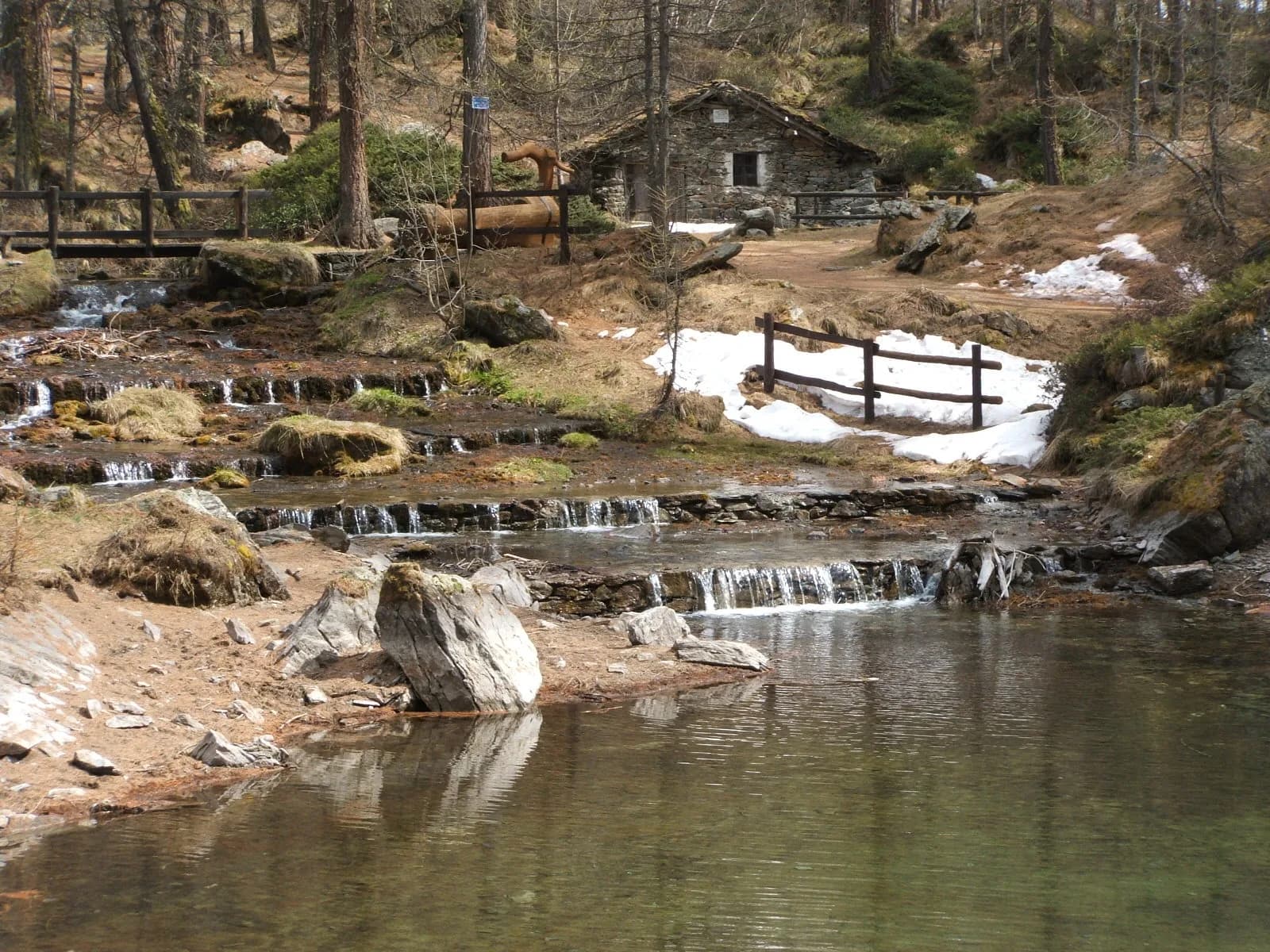
Val di Cogne
A gentle prologue across the Sant’Orso meadow.
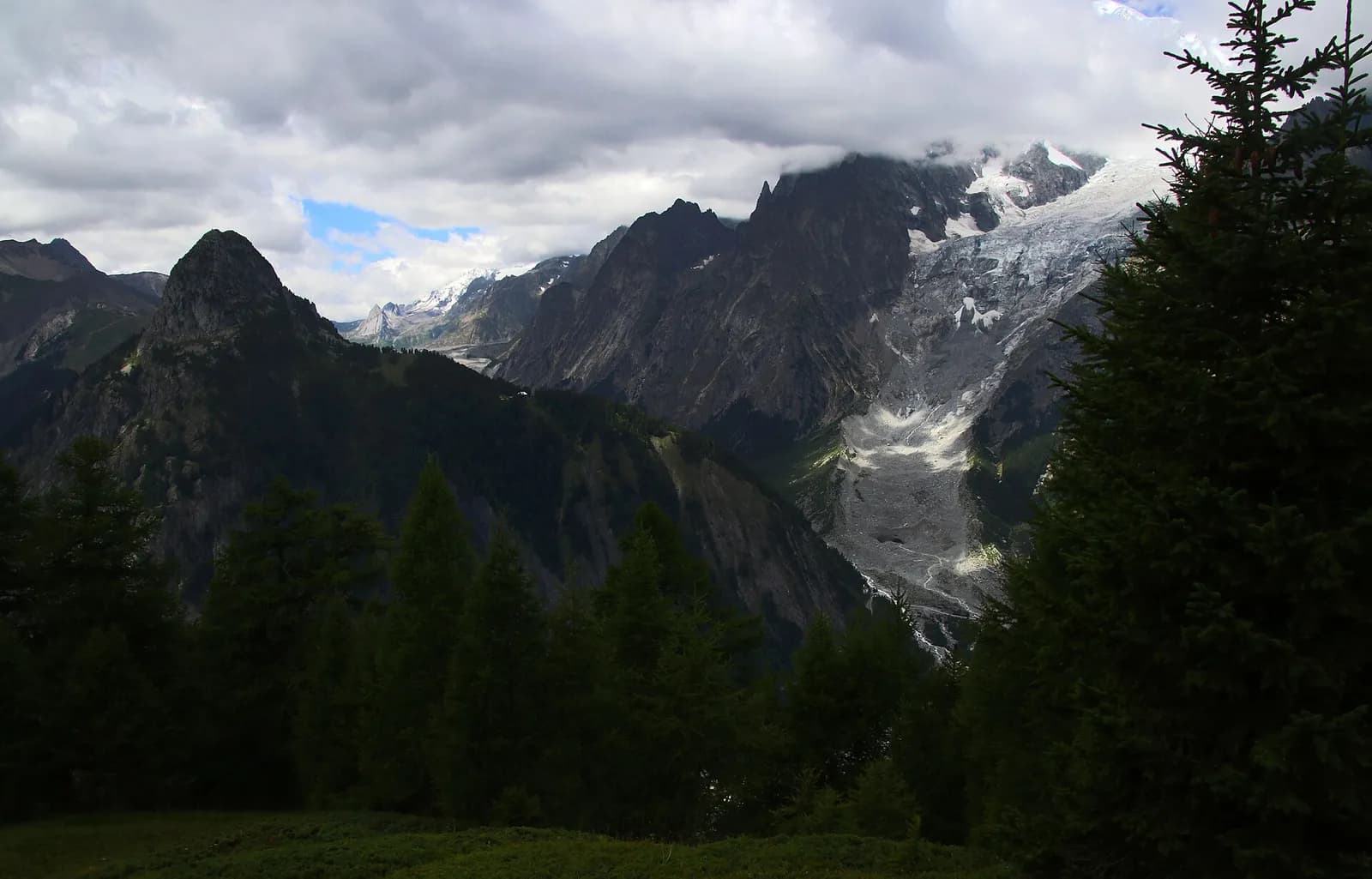
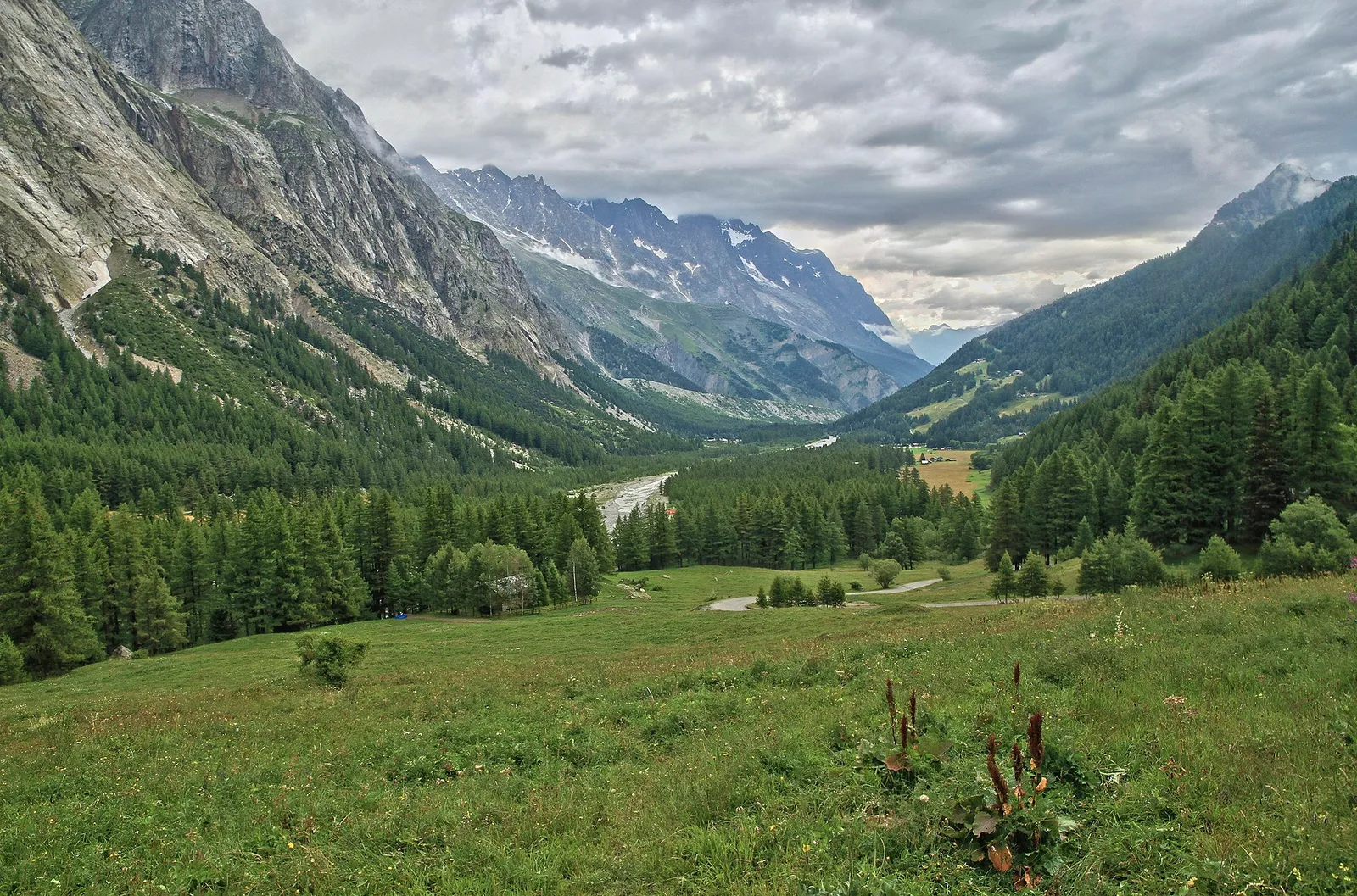
Val Ferret
A steady climb from Courmayeur to the Rifugio Bertone balcony.
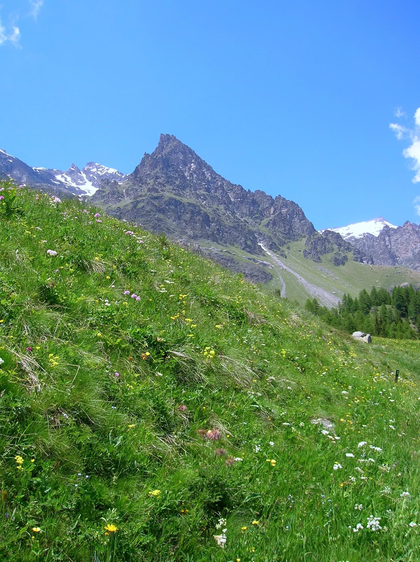
Val Ferret
The Mont de la Saxe balcony, face to face with the Grandes Jorasses.
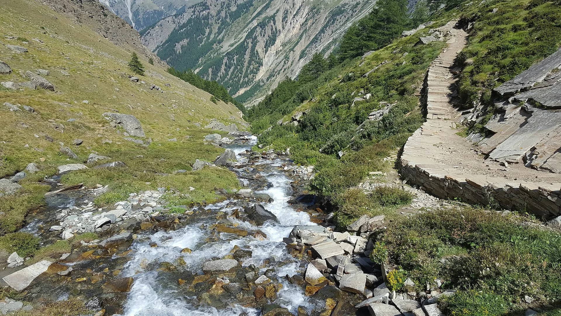
Val Ferret
Towards the head of Val Ferret, below the Pré de Bar glacier.
Valle del Lys
From the Walser capital to Lake Gabiet.
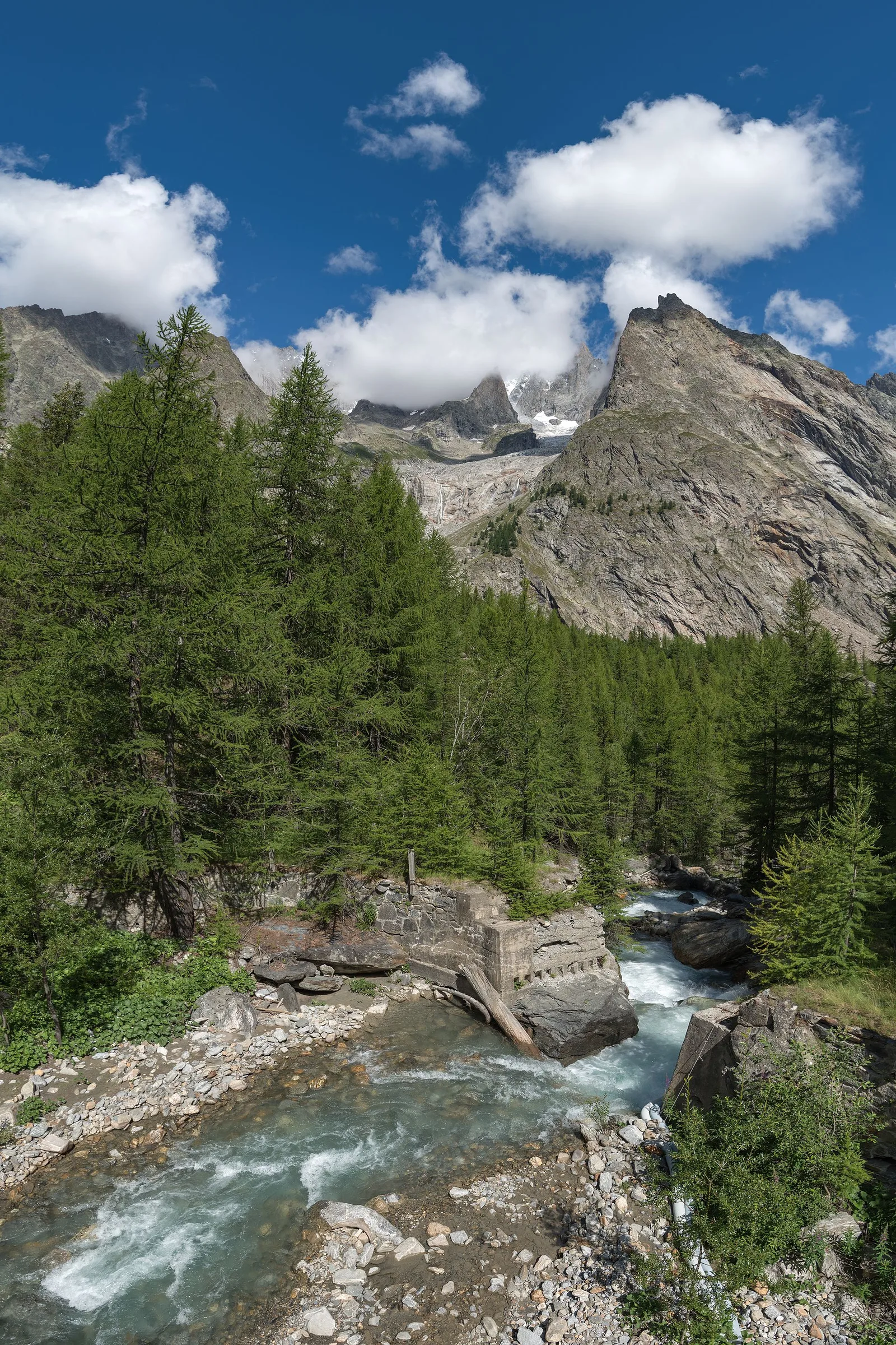
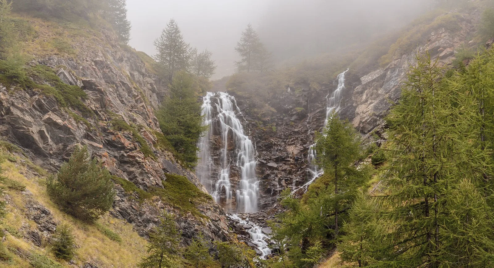
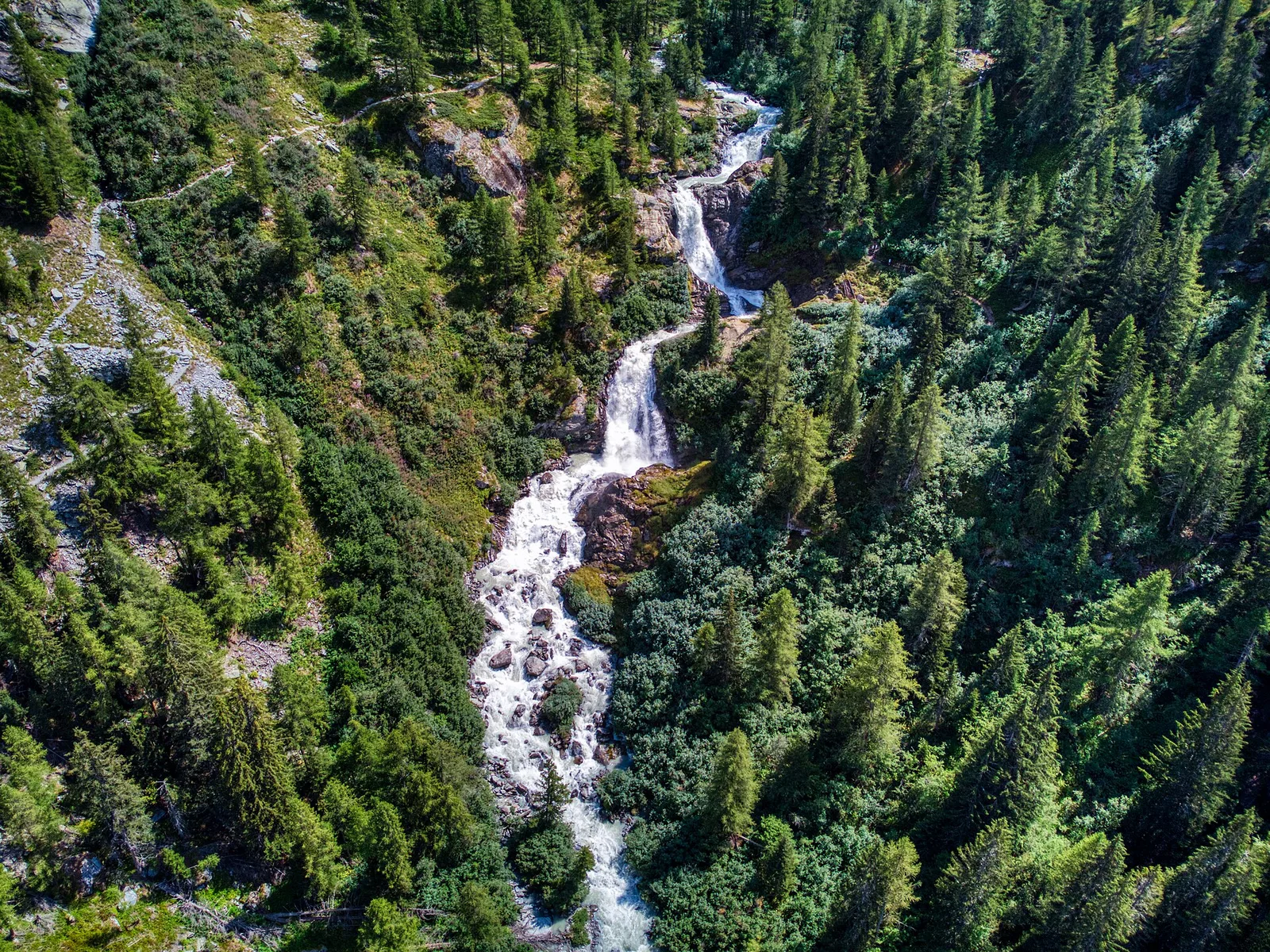
Valdigne — La Thuile
The Rutor waterfalls and the climb to the Deffeyes hut.
Valpelline
4.8 km · +1099 m · E — from Capoluogo to Alpeggio Verdignolettaz (Valtournenche).
Valle di Champorcher
7.5 km · +1421 m · E — from Varesa to Lago di Leseney (Champorcher Valley).
Valle di Champorcher
6.2 km · +1184 m · E — from Varesa to Buriana (Champorcher Valley).
Valle centrale
2.1 km · +235 m · EE — from Vens to Col du Joux (Central Valley).
Valle centrale
0.7 km · +152 m · E — from Vens to Lac du Joux (Central Valley).
Valpelline
5.3 km · +1120 m · E — from Vernosse to Cappella di Verdonaz (Lys Valley).
Valle del Gran San Bernardo
8.4 km · +1360 m · EE — from Vetan to Mont Fallère (Central Valley).
Valle centrale
9 km · +1685 m · E — from Villair to Col de Licony (Central Valley).

Valle di Champorcher
2.8 km · +530 m · E — from Visey damon to Col d'Arcomy (Central Valley).
Valle di Champorcher
4.4 km · +948 m · E — from Vesey damon to Col de Pana (Central Valley).
Valle del Lys
4 km · +1011 m · E — from Zer Trino to Passo Frudière (Champorcher Valley).