Tour du Mont Blanc — Stage 3: Rifugio Walter Bonatti → Rifugio Elena
Advertencias
- Book overnight stops in peak season
 1 / 3
1 / 37.2 km
+373 m
−355 m
3.5 h
Nivel físico
Mapa y ruta
Traza GPX — verifica sobre el terreno antes de caminar
Descripción
Puntos clave
Salida
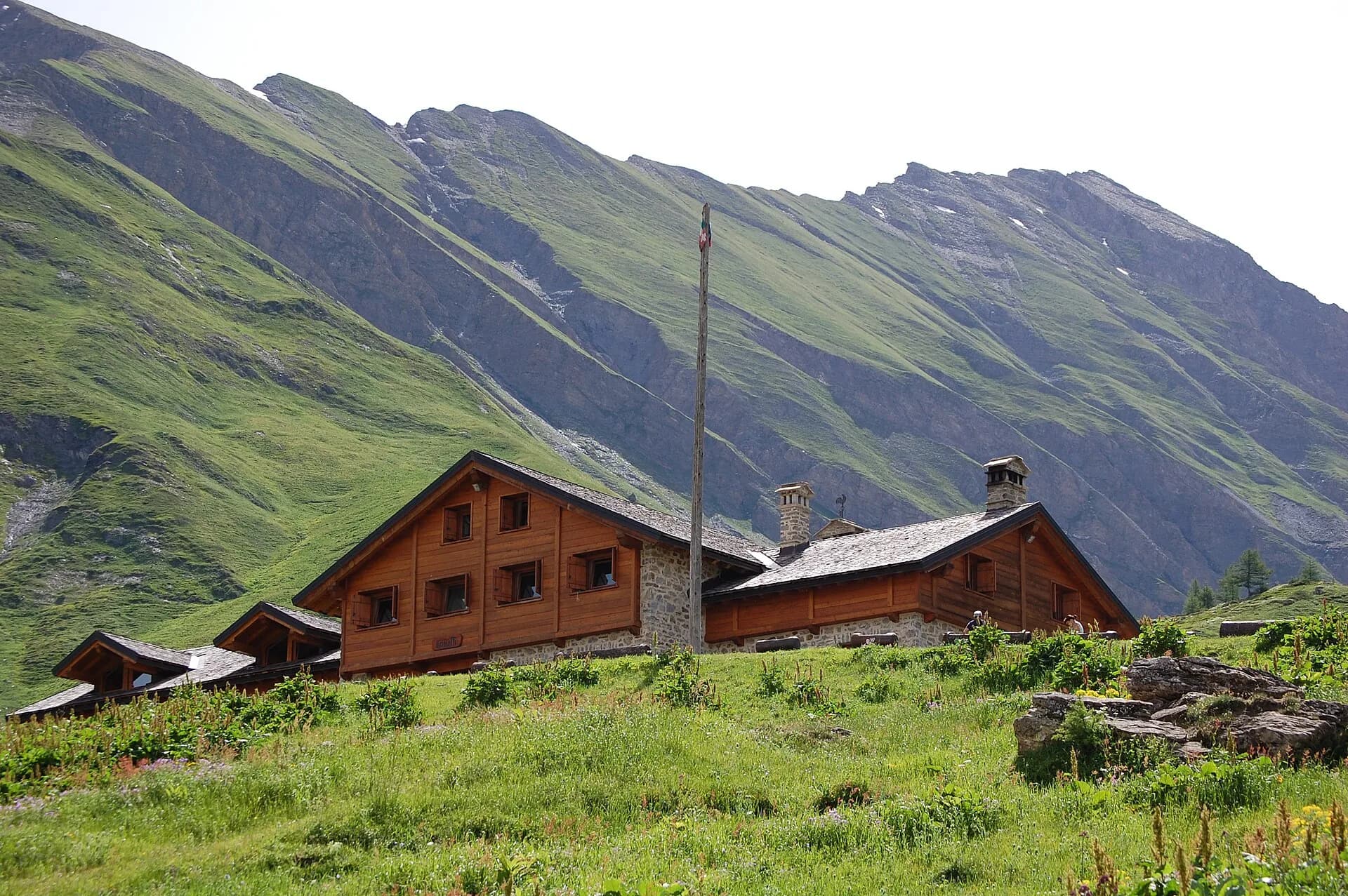
Rifugio Walter Bonatti · 2024 m
Llegada
Rifugio Elena · 2060 m
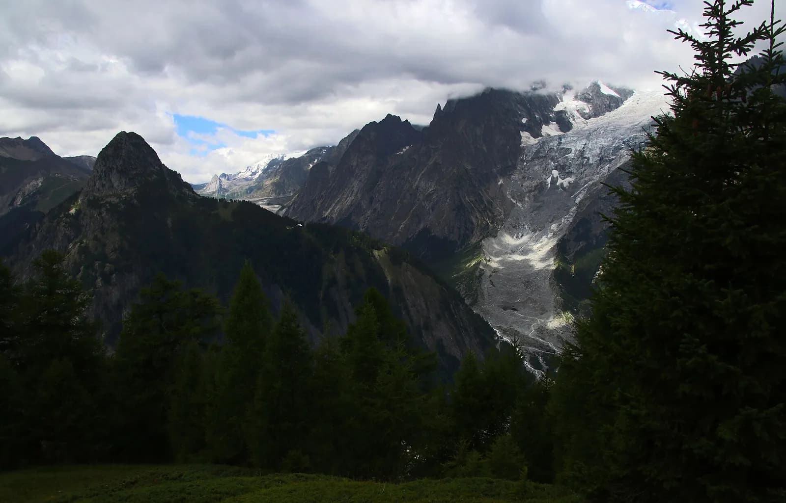
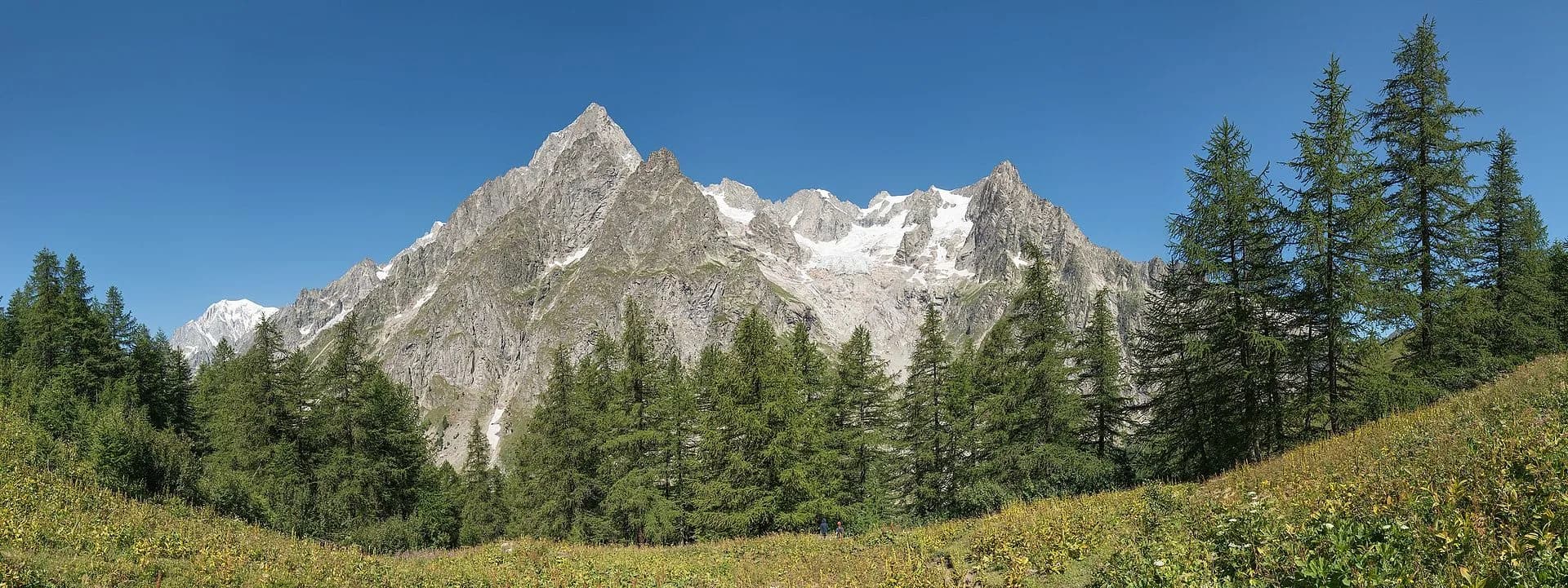
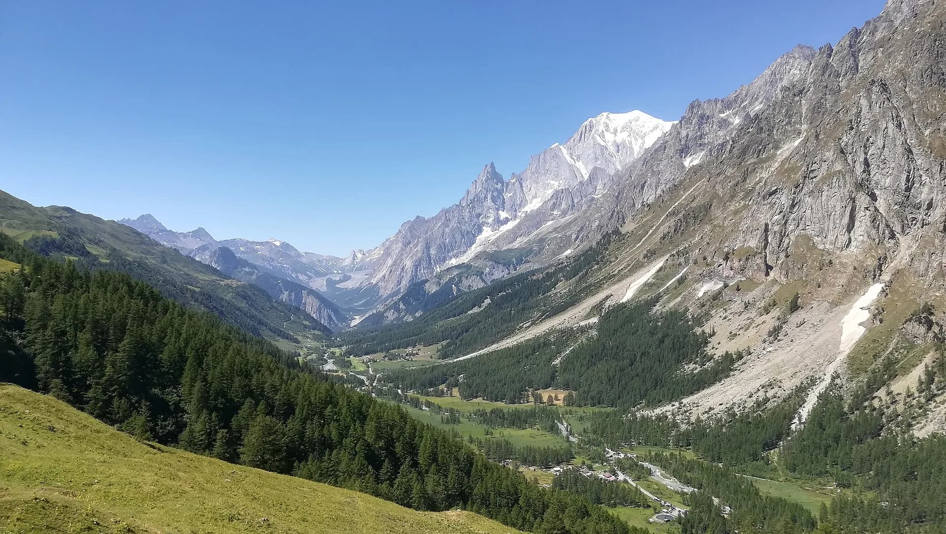
From Rifugio Bonatti you drop to Arnouva and climb the head of Val Ferret to Rifugio Elena (2,062 m), facing the snout of the Pré de Bar glacier and Mont Dolent, the mountain of three borders.
A half-day walk that many happily stretch out, stopping at every alp: descend gently to Arnouva, where the Val Ferret road ends and only pastures remain. The final pull up to Rifugio Elena is short but steep, rewarded by the crevassed snout of the Pré de Bar glacier tonguing down right in front of the terrace. Mont Dolent behind it marks the point where Italy, Switzerland and France meet. In season the Val Ferret bus lets you shorten or lengthen the stage at will.
Ciencias de la Tierra
Geología y paisaje
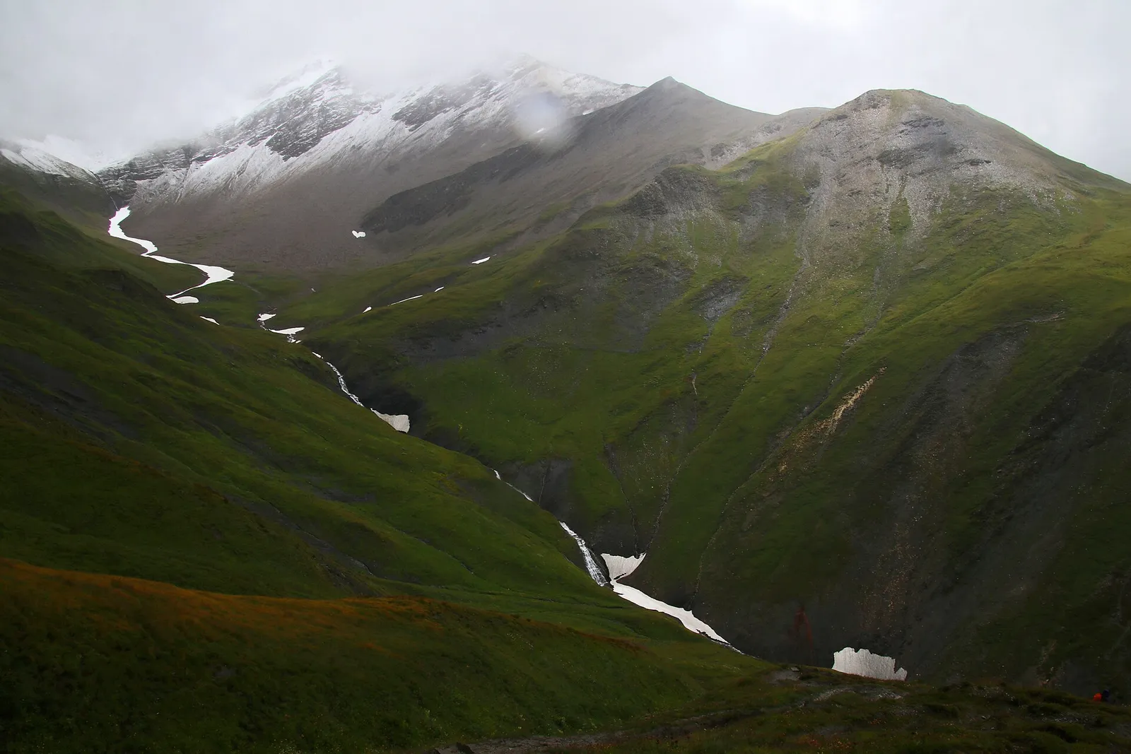
Mont Blanc hanging valley: gneiss, granites and Miage moraines; glaciological views of the Italian flank of the massif.
Historia y cultura
Rifugio Elena commemorates Princess Elena of Savoy-Orléans; the present building (1992) replaces the one destroyed by the 1952 avalanche. The merchants’ mule track to Orsières passed by Pré de Bar.
Fuentes de agua
Water at the stage's support points (Rifugio Walter Bonatti, Rifugio Elena). On the high ground and at the passes springs are not guaranteed: fill bottles in the valley and at the huts.
Cómo llegar
VITA buses and connections from Aosta; check seasonal timetables at vita.it.
Aparcamiento
Refugios y vivacs
Galería de fotos
Photos are published immediately. JPG/PNG/WebP, max 6 MB.
Flora del sendero
Etapas contiguas
AEditado y verificado por Andrea Rama
Fuente de datos: Tour du Mont Blanc — itinerario internazionale segnalato · Traccia calcolata su rete sentieri OpenStreetMap (ODbL); verificare sul terreno
Última verificación:
Val Ferret
Senderos relacionados
Mismo valle o rutas similares — más excursiones por descubrir.
Val Ferret
Tour du Mont Blanc — Stage 1: Courmayeur → Rifugio Giorgio Bertone
A steady climb from Courmayeur to the Rifugio Bertone balcony.
Val Ferret
High Route 1 — Stage 16: Rifugio Frassati → Rifugio Bonatti via Col Malatrà
Col Malatrà at 2925 m is the rooftop of Alta Via 1: from the panoramic crest above Mont Blanc the trail descends into Val Ferret to the legendary Rifugio Walter Bonatti.
Val Ferret
High Route 1 — Stage 17: Rifugio Bonatti → Courmayeur
The final AV1 stage: the Val Ferret balcony trail with Mont Blanc and Grandes Jorasses always in sight, ending at Courmayeur, Italy's alpine capital.
Val Ferret
Rifugio Bonatti loop
Balcony trail along Val Ferret facing the Mont Blanc massif. Quite possibly Italy's finest panorama.