Gimillan - Lacs de Lussert
8.2 km
+986 m
−0 m
4.5 h
Nivel físico
Mapa y ruta
Traza GPX — verifica sobre el terreno antes de caminar
Descripción
Puntos clave
Salida
Gimillan · 1804 m
Llegada
Laghi Lussert · 2710 m
Sendero
S9
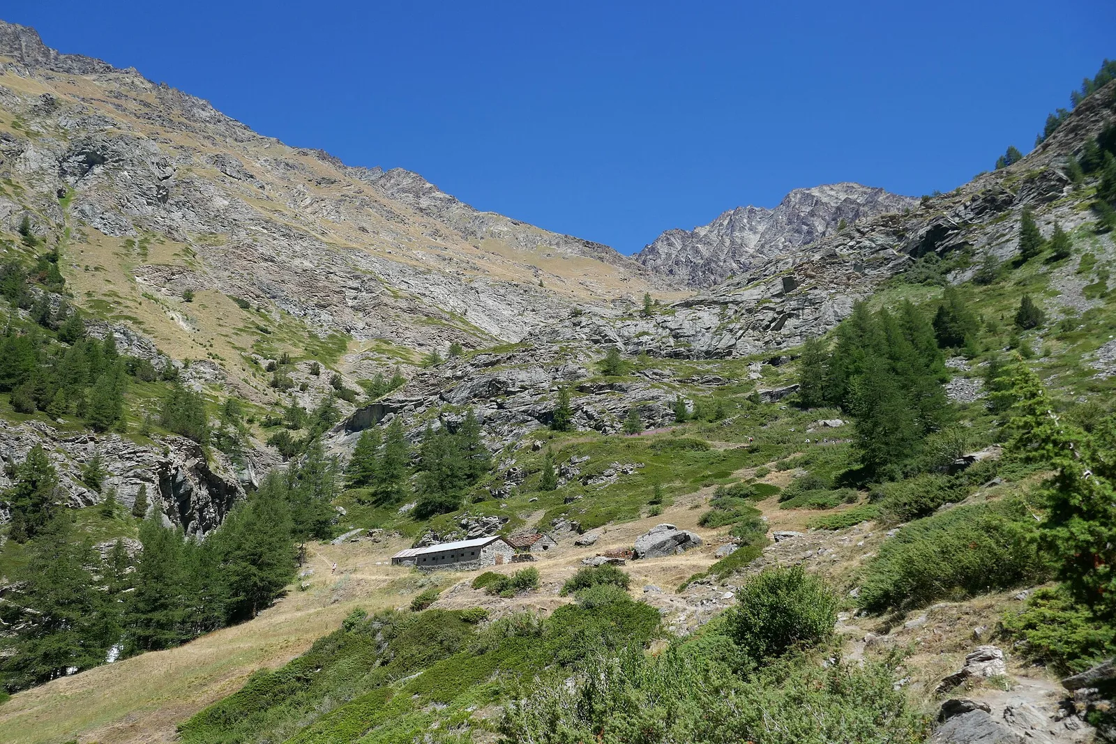
From the hamlet of Gimillan, a sunny balcony above Cogne, waymark no. 8 climbs the Grauson valley and then the Lussert side-valley to the basin of the three Lussert lakes (over 2,700 m), in the heart of the Gran Paradiso National Park. One of the valley's most spectacular hikes: alpine pastures, peat bogs and glacier-smoothed rock, with excellent chances of spotting ibex, chamois and marmots. Demanding for the ascent but without technical difficulty — ideal for fit hikers on a long day. Dogs are not allowed in the Park.
Ciencias de la Tierra
Geología y paisaje
The Gran Paradiso massif is a crystalline core of the Penninic nappe: augen orthogneisses wrapped in calcschists and greenstones, shaped by the glaciers that feed the valley's lakes and waterfalls.
Historia y cultura
This is the Gran Paradiso National Park, Italy's oldest (1922), born from the royal hunting reserve of Vittorio Emanuele II: here the ibex was saved from extinction and the trails follow the royal mule tracks. Ibex, chamois, marmots and the bearded vulture are frequent sights.
Aparcamiento
Galería de fotos
Photos are published immediately. JPG/PNG/WebP, max 6 MB.
Flora del sendero
Fauna que observar
AEditado y verificado por Andrea Rama
Fuente de datos: Catasto Sentieri Regione Autonoma VdA · Open data — DGR 899/2014
Última verificación:
Val di Cogne
Senderos relacionados
Mismo valle o rutas similares — más excursiones por descubrir.

Val di Cogne
Alpe Bardoney (incrocio sentieri 12-13G)- Col de l'Arolla
5.3 km · +684 m · EE — from Alpe Bardoney (incrocio sentieri 12-13G) to Col de l'Arolla (Lys Valley).

Val di Cogne
Antiche miniere di ferro di Colonna
3.8 km · +852 m · E — from Moline to Miniere di Colonna (Lys Valley).

Val di Cogne
Arpisson - Col Chasèche
2.3 km · +498 m · E — from Arpisson to Col Chasèche (Lys Valley).

Val di Cogne
Arrivo impianto risalita Chamolé- Tête Noire
1.4 km · +497 m · E — from Arrivo impianto risalita Chamolé to Tête Noire (Lys Valley).