Tour du Rutor — Stage 1: La Thuile → Rifugio Albert Deffeyes
Advertencias
- Book overnight stops in peak season
 1 / 2
1 / 29.2 km
+1113 m
−186 m
5.5 h
Nivel físico
Mapa y ruta
Traza GPX — verifica sobre el terreno antes de caminar
Descripción
Puntos clave
Salida
La Thuile · 1448 m
Llegada
Rifugio Albert Deffeyes · 2485 m
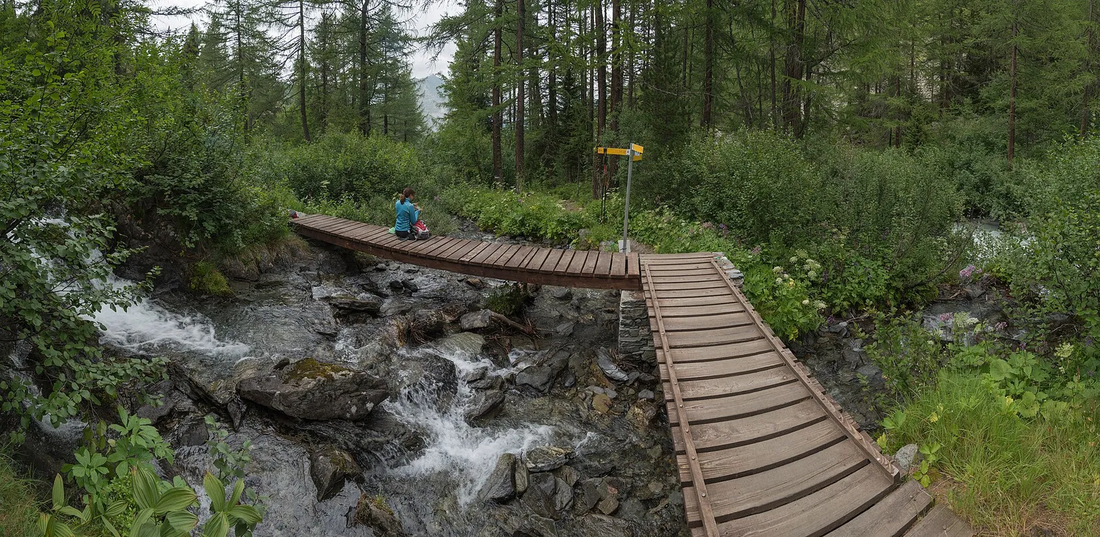
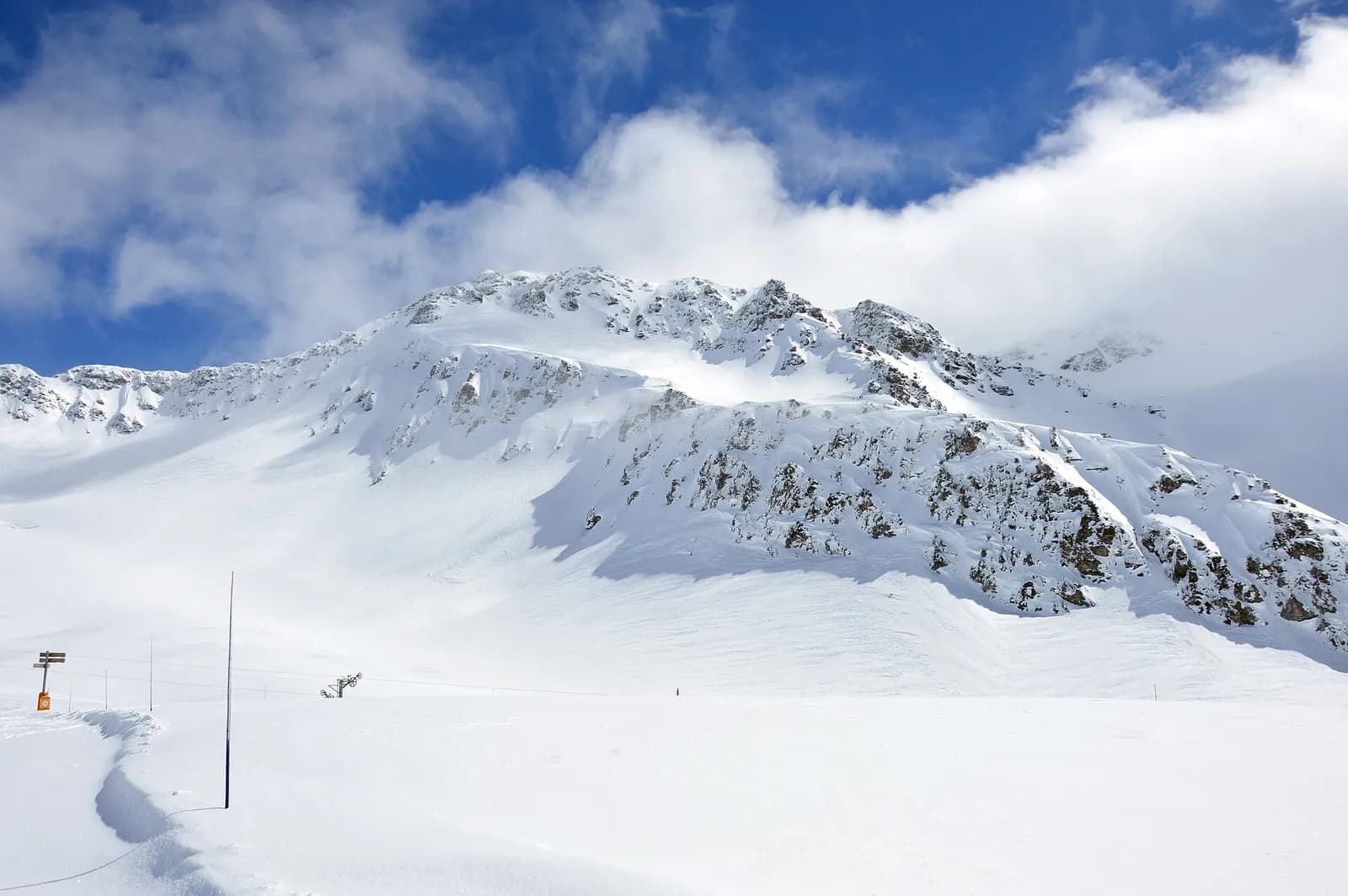
From La Thuile ascend the Rutor valley past the three spectacular glacier-fed waterfalls to Rifugio Albert Deffeyes (2,494 m), overlooking the snout of the Rutor glacier and its meltwater lakes.
From La Thuile you ascend the valley on the historic mule track that once served the coal mines, soon entering conifer forest. The three Rutor waterfalls punctuate the climb: the first is admired from the bridge, the second deserves the short detour to the viewpoint, the third plunges right below the hut’s glacial step. The Deffeyes appears suddenly on the rim of the basin: behind it, the snout of the Rutor glacier — the Aosta Valley’s third largest — and its milk-coloured meltwater lakes. A short but intense stage: 1,100 metres almost without respite, water at the falls.
Ciencias de la Tierra
Geología y paisaje
Rutor valley: metamorphic bedrock and active glacial deposits. Retreating Rutor glaciers with proglacial lakes and recent moraines visible from the trail.
Historia y cultura
La Thuile was an anthracite mining town, active until 1966 with 400 workers: the Croix galleries tunnelled the mountain as far as the Little St Bernard.
Fuentes de agua
Water at the stage's support points (La Thuile, Rifugio Deffeyes, Rifugio Albert Deffeyes). On the high ground and at the passes springs are not guaranteed: fill bottles in the valley and at the huts.
Cómo llegar
VITA buses and connections from Aosta; check seasonal timetables at vita.it.
Aparcamiento
Refugios y vivacs
Galería de fotos
Photos are published immediately. JPG/PNG/WebP, max 6 MB.
Flora del sendero
Etapas contiguas
AEditado y verificado por Andrea Rama
Fuente de datos: Tour del Rutor — itinerari La Thuile / Valgrisenche / Haute-Tarentaise · Traccia calcolata su rete sentieri OpenStreetMap (ODbL); verificare sul terreno
Última verificación:
Valdigne — La Thuile
Senderos relacionados
Mismo valle o rutas similares — más excursiones por descubrir.
Valgrisenche
Tour du Rutor — Stage 3: Planaval → Valgrisenche
A short breather along the Dora di Valgrisenche.
Valgrisenche — Haute-Tarentaise (Francia)
Tour du Rutor — Stage 4: Valgrisenche → Sainte-Foy-Tarentaise
The Col du Mont, a historic smugglers’ pass into the Tarentaise.
Haute-Tarentaise (Francia)
Tour du Rutor — Stage 5: Sainte-Foy-Tarentaise → La Rosière
A Tarentaise balcony among baroque villages and forests.
Haute-Tarentaise — La Thuile
Tour du Rutor — Stage 6: La Rosière → La Thuile
The Little St Bernard pass and Lake Verney close the loop.