Tour du Rutor — Stage 3: Planaval → Valgrisenche
Advertencias
- Book overnight stops in peak season
5.7 km
+162 m
−136 m
2 h
Nivel físico
Mapa y ruta
Traza GPX — verifica sobre el terreno antes de caminar
Descripción
Puntos clave
Salida
Planaval · 1558 m
Llegada
Valgrisenche · 1642 m
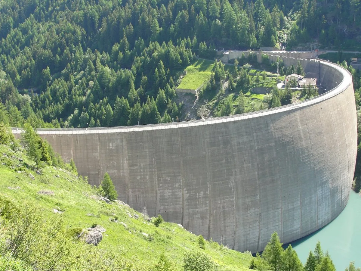
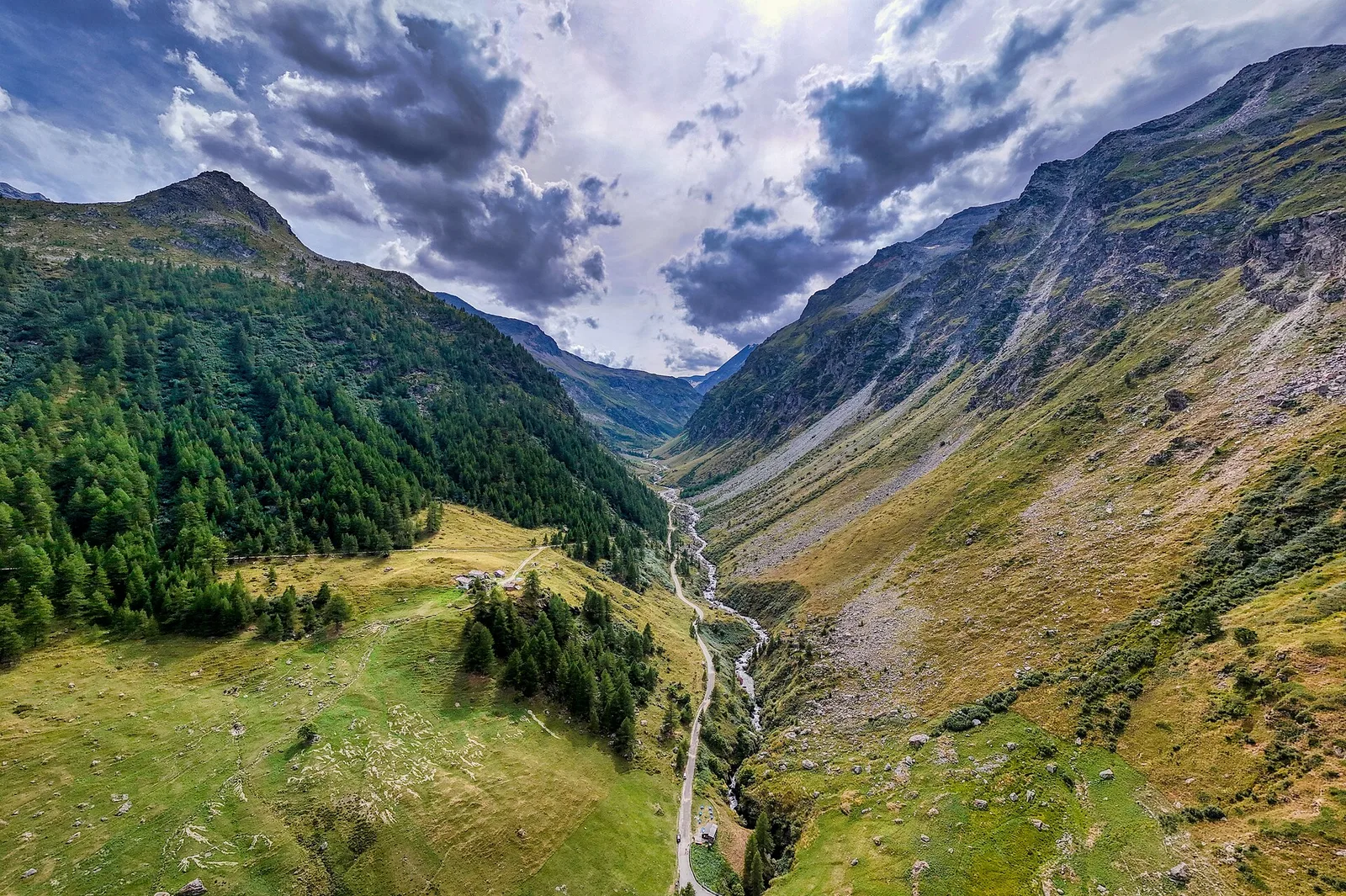
A short valley stage: from Planaval ascend the Valgrisenche between woods, meadows and stone villages to the head village (1,664 m), home of drap, the loom-woven wool cloth. Time to visit the village and the Beauregard dam.
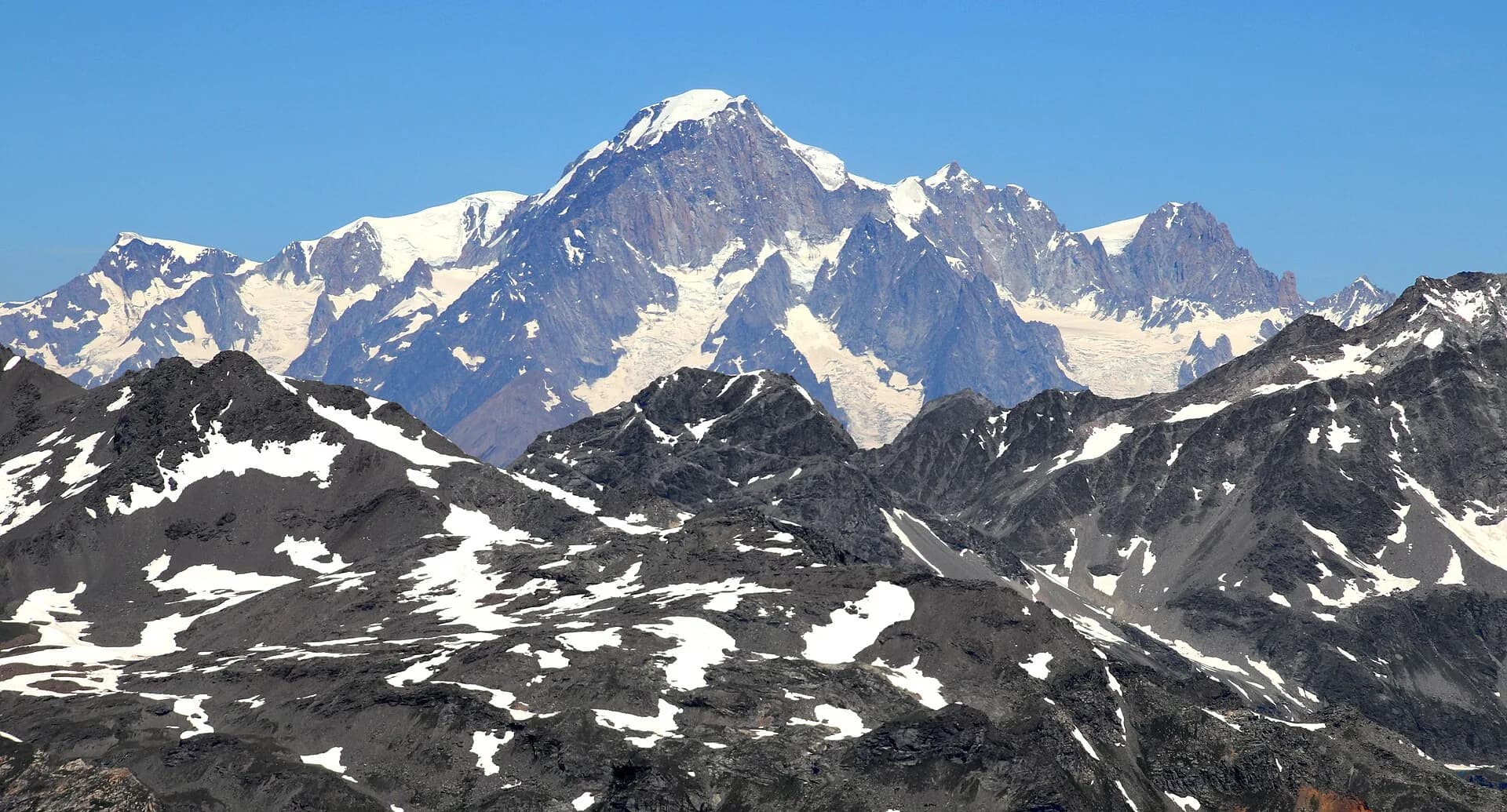
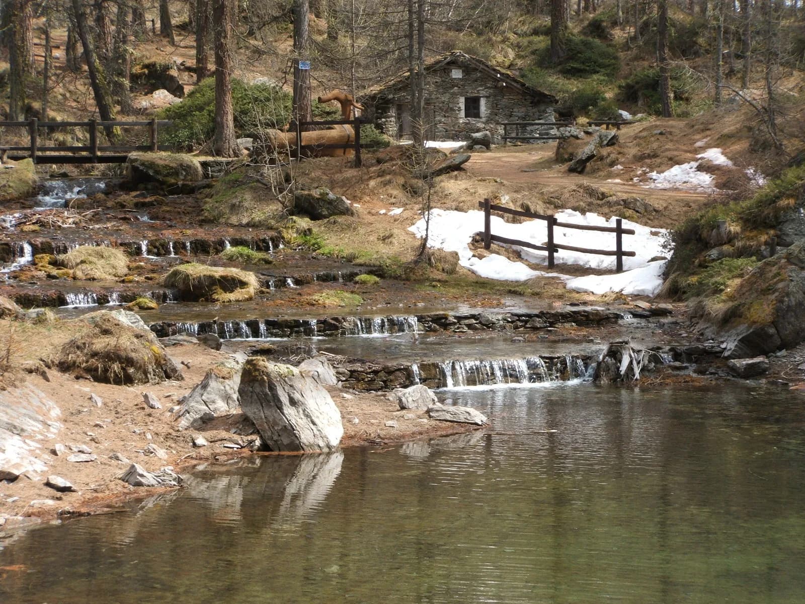
The Col de la Crosatie is a perfect balcony over the Valgrisenche: the climb from Planaval passes Lake Fond, set in a pasture basin, then tackles the steep final slope where short fixed-rope sections help without ever frightening. From the pass the eye runs from the Grande Rousse to the Testa del Rutor. You descend to the Fond plateau and follow the young Dora di Valgrisenche stream to the head village, a place of guides and weavers: the local cooperative still hand-weaves drap wool cloth on wooden looms.
Ciencias de la Tierra
Geología y paisaje
The Rutor group belongs to the outer Penninic domain: micaschists, fine gneisses and Permo-Carboniferous quartzites of the Ruitor zone, with striking folds visible on the walls above the Deffeyes hut. The three lakes and roches moutonnées of the valley are the work of the Rutor glacier, fast retreating yet still the Aosta Valley’s third largest; at the Col du Mont the Versoyen calcschists crop out with relics of oceanic crust.
Historia y cultura
Valgrisenche raised whole generations of “sabotiers”, carvers of wooden clogs; the Romanesque bell tower and Beauregard fort tell of the valley’s twin religious and military souls.
Fuentes de agua
Water at the stage's support points (Planaval, Valgrisenche). On the high ground and at the passes springs are not guaranteed: fill bottles in the valley and at the huts.
Cómo llegar
Aosta Valley side served by VITA buses and connections from Aosta; many valley heads have summer shuttles. Check seasonal timetables at arriva.it / vita-vda.com.
Aparcamiento
Galería de fotos
Photos are published immediately. JPG/PNG/WebP, max 6 MB.
Etapas contiguas
AEditado y verificado por Andrea Rama
Fuente de datos: Tour del Rutor — itinerari La Thuile / Valgrisenche / Haute-Tarentaise · Traccia calcolata su rete sentieri OpenStreetMap (ODbL); verificare sul terreno
Última verificación:
Valgrisenche
Senderos relacionados
Mismo valle o rutas similares — más excursiones por descubrir.
Valgrisenche
High Route 2 — Stage 5: Planaval → Rifugio Chalet de l'Épée
Cross Valgrisenche to Rifugio Chalet de l'Épée.
Valgrisenche
High Route 2 — Stage 6: Rifugio Chalet de l'Épée → Rhêmes-Notre-Dame
Descent from Col Fenêtre to Val di Rhêmes and Rhêmes-Notre-Dame.

Valgrisenche
Balconata dal Belvedere al lago di San Grato
4.9 km · +705 m · E — from Bois de Grillet to Lago di San Grato (Valtournenche).
Valgrisenche
Bivio strada per Grand Alpe - Col du Mont
5 km · +706 m · E — from Bivio strada per Grand Alpe to Col du Mont (Valtournenche).