High Route 2 — Stage 6: Rifugio Chalet de l'Épée → Rhêmes-Notre-Dame
Advertencias
- Check weather and residual snow early season
- Book huts in peak season
 1 / 2
1 / 210 km
+475 m
−1119 m
3.5 h
Nivel físico
~1011 kcal estimadas
Mapa y ruta
Traza GPX oficial — Región Valle de Aosta / lovevda.it
Descripción
Puntos clave
Salida
Rifugio Chalet de l'Épée · 2366 m
Llegada
Rhêmes-Notre-Dame · 1722 m
Brief climb to Col Fenêtre (2840 m) and descent through pastures and woods to the Park visitor centre at Rhêmes-Notre-Dame.
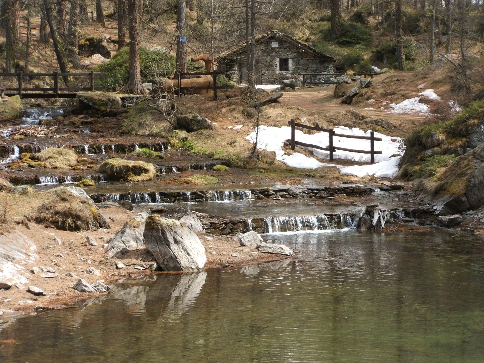
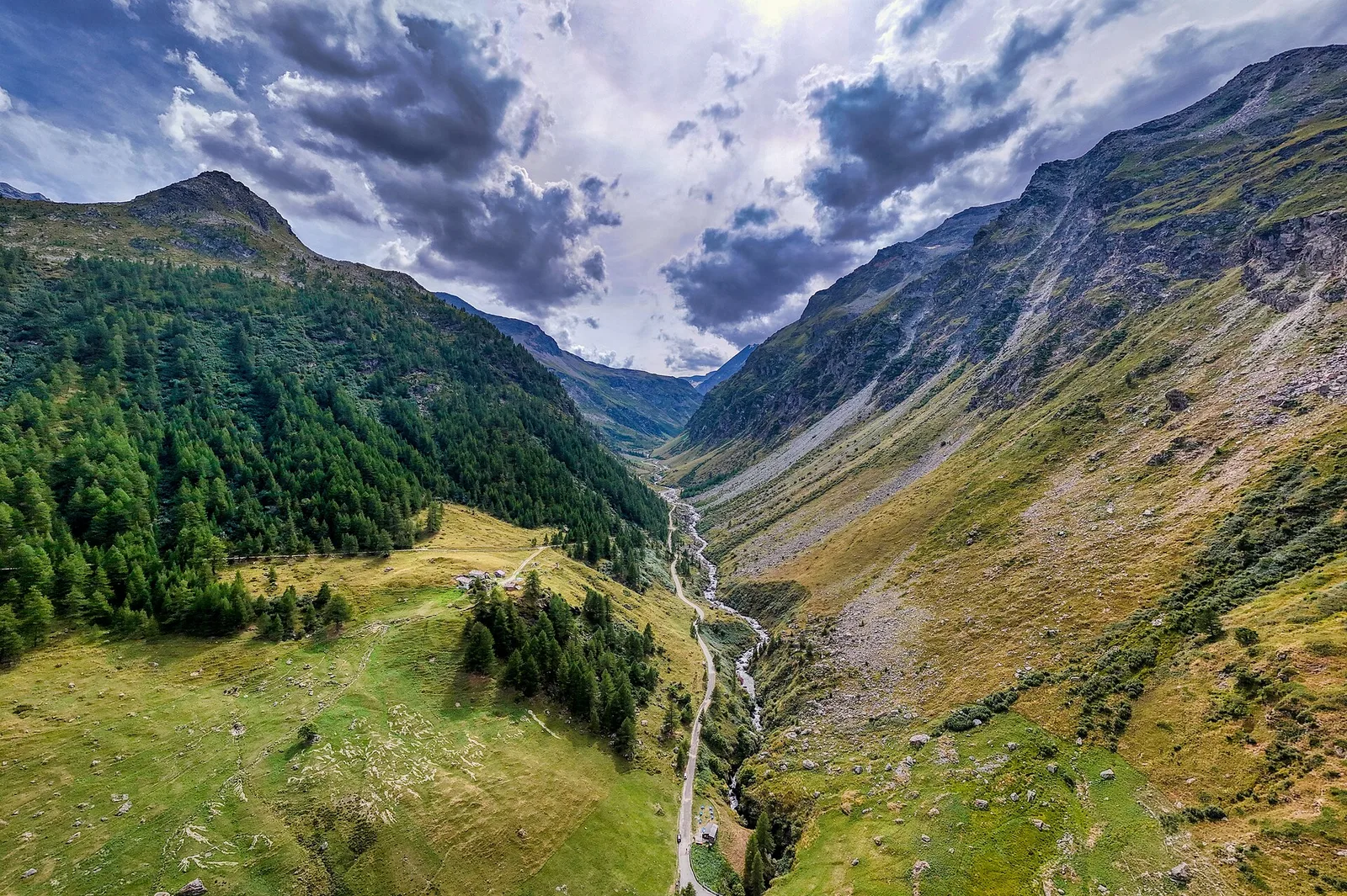
From the Chalet de l’Épée you ascend to the Col Fenêtre (2,840 m), a clean notch between the Grande Rousse and the Becca della Traversière: ahead opens the Rhêmes valley with the dolomite-like wall of the Granta Parey, the valley’s emblem. The descent, first over scree then pastures, reaches Rhêmes-Notre-Dame, gateway to the Park and a bearded-vulture capital.
Puntos clave
Col Fenêtre
2840 m · 4 km from start
Marked AV2 alpine pass
Ciencias de la Tierra
Geología y paisaje
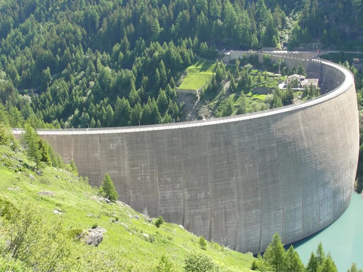
Side valley with hydroelectric basin: gneiss and crystalline schist outcrops, glacial cirques and lacustrine deposits in the valley floor.
Historia y cultura
At Rhêmes-Notre-Dame the bearded vulture, reintroduced to the Alps from 1986, first nested in Italy in 1994: the Park visitor centre tells the story of its return.
Fuentes de agua
Fountains in Planaval and Valgrisenche; Chalet de l'Épée hut.
Cómo llegar
VITA buses and connections from Aosta; check seasonal timetables at vita.it.
Aparcamiento
Parcheggi comunali nei paesi di valle; verificare limitazioni in alta stagione.
Cumbres cercanas
Refugios y vivacs
Galería de fotos
Photos are published immediately. JPG/PNG/WebP, max 6 MB.
Flora del sendero
Etapas contiguas
AEditado y verificado por Andrea Rama
Fuente de datos: Catasto Sentieri Regione Autonoma VdA — Alta Via n.2 · Open data — DGR 899/2014
Última verificación:
Valgrisenche
Senderos relacionados
Mismo valle o rutas similares — más excursiones por descubrir.
Valgrisenche
Tour du Rutor — Stage 3: Planaval → Valgrisenche
A short breather along the Dora di Valgrisenche.

Valgrisenche — Haute-Tarentaise (Francia)
Tour du Rutor — Stage 4: Valgrisenche → Sainte-Foy-Tarentaise
The Col du Mont, a historic smugglers’ pass into the Tarentaise.

Valgrisenche
Balconata dal Belvedere al lago di San Grato
4.9 km · +705 m · E — from Bois de Grillet to Lago di San Grato (Valtournenche).
Valgrisenche
Bivio strada per Grand Alpe - Col du Mont
5 km · +706 m · E — from Bivio strada per Grand Alpe to Col du Mont (Valtournenche).