High Route 2 — Stage 7: Rhêmes-Notre-Dame → Eaux-Rousses
Advertencias
- Check weather and residual snow early season
- Book huts in peak season
16 km
+1281 m
−1325 m
6.5 h
Nivel físico
~1665 kcal estimadas
Mapa y ruta
Traza GPX oficial — Región Valle de Aosta / lovevda.it
Descripción
Puntos clave
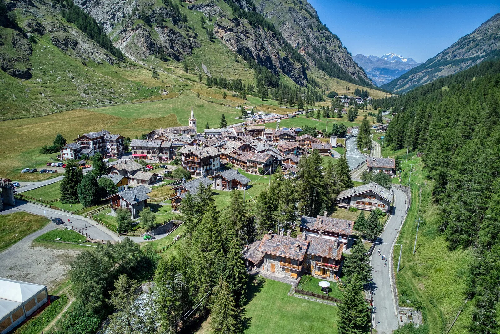
Salida
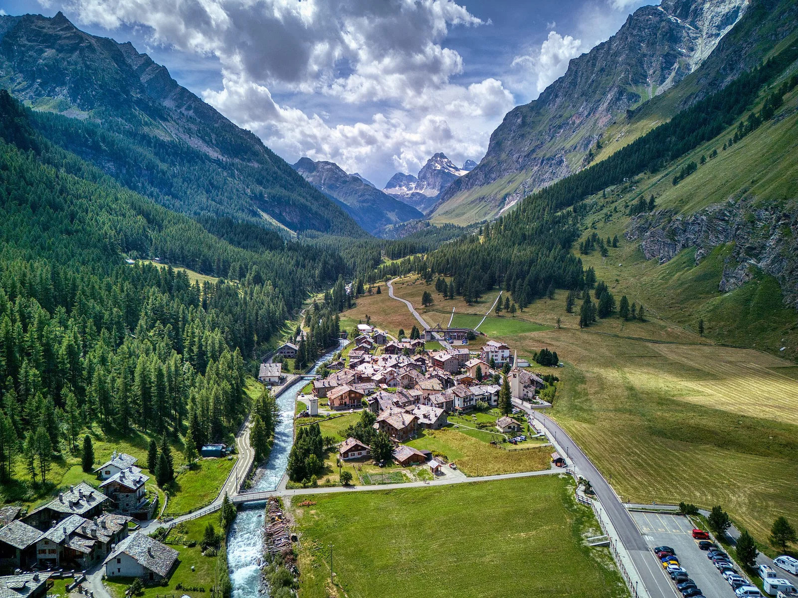
Rhêmes-Notre-Dame · 1722 m
Llegada
Eaux-Rousses · 1676 m
Climb to Col de l'Entrelor (3002 m), cross Lake Djouan and descend into Valsavarenche to Eaux-Rousses in Gran Paradiso National Park.
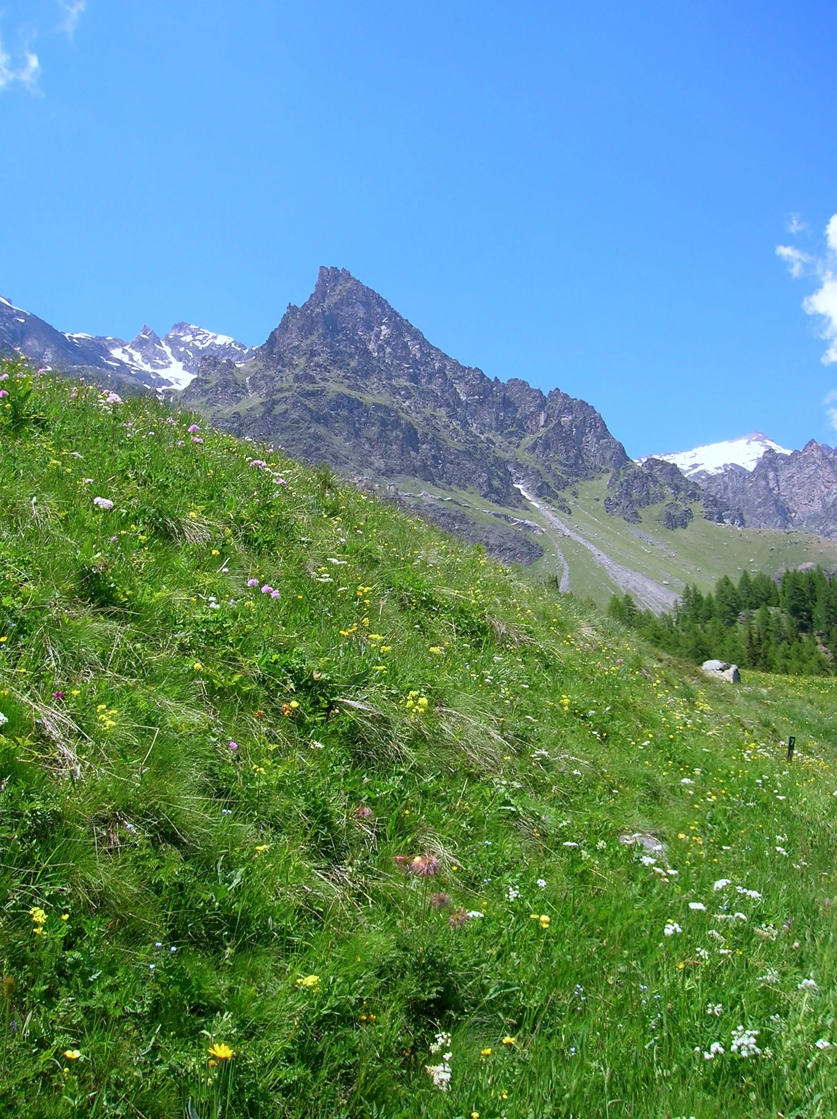
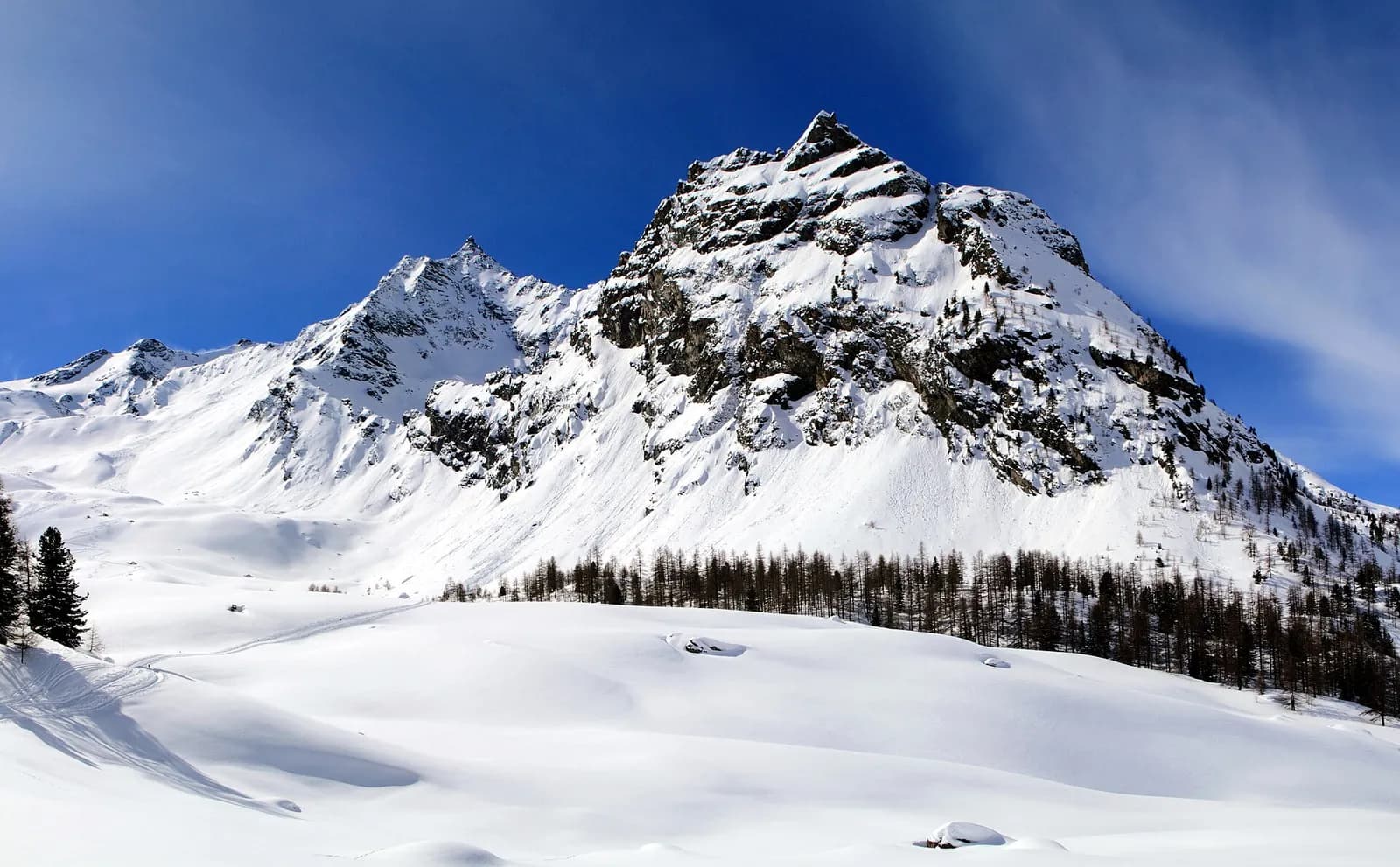
You enter the Park’s heart: the climb to the Col Entrelor (3,007 m) crosses the Entrelor forest and high pastures where chamois are at home. Beyond the pass you descend the wild valley of the Djouan lakes, past Orvieille, where King Vittorio Emanuele II kept one of his favourite hunting lodges, down to Eaux-Rousses in Valsavarenche.
Puntos clave
Col de l'Entrelor
3002 m · 8 km from start
Marked AV2 alpine pass
Lago Djouan
2515 m · 12 km from start
Ciencias de la Tierra
Geología y paisaje
Gran Paradiso Park valley: Mesozoic limestones and dolomites with gorges and fluvial terraces; above 2200 m gneiss and micaschists.
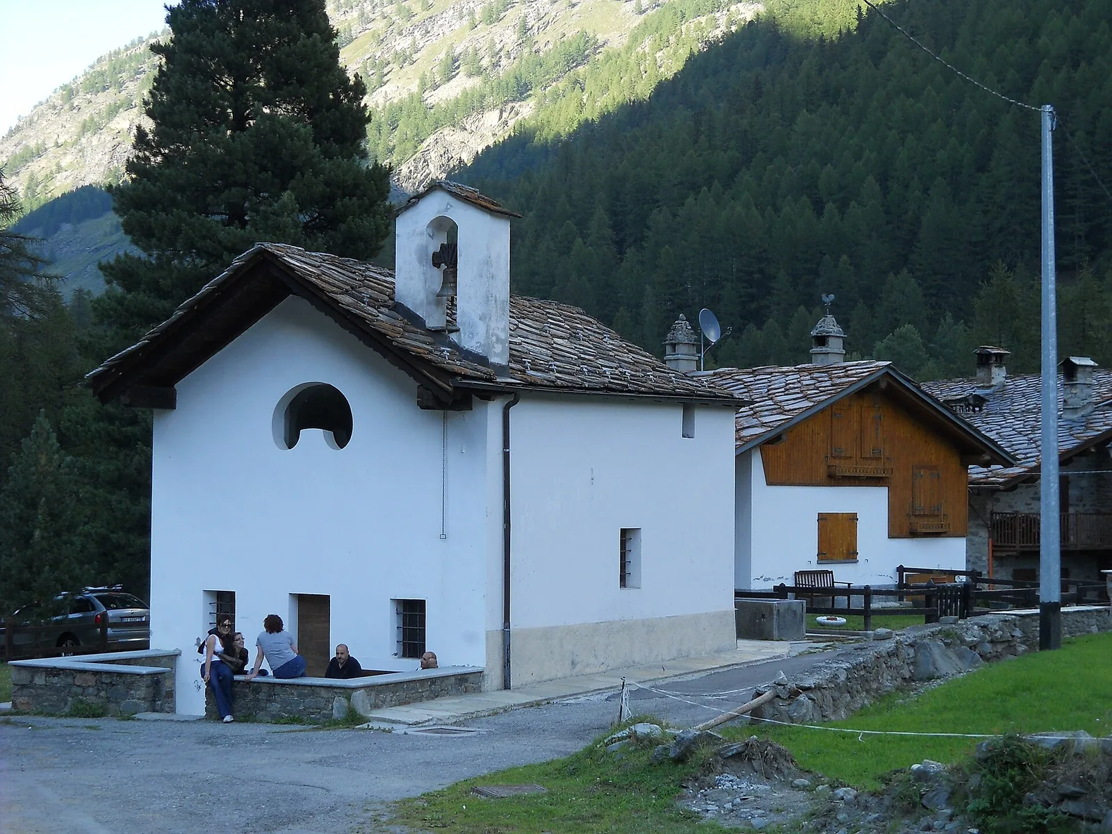
Historia y cultura
The royal hunting mule tracks, built for Vittorio Emanuele II in the mid-1800s, are the backbone of the Park’s trails: over 300 km of paved paths still in perfect condition.
Fuentes de agua
PNGP visitor centre at Rhêmes-ND; springs along the trail toward Col Entrelor.
Cómo llegar
VITA buses and connections from Aosta; check seasonal timetables at vita.it.
Aparcamiento
Parcheggi comunali nei paesi di valle; verificare limitazioni in alta stagione.
Cumbres cercanas
Galería de fotos
Photos are published immediately. JPG/PNG/WebP, max 6 MB.
Flora del sendero
Etapas contiguas
AEditado y verificado por Andrea Rama
Fuente de datos: Catasto Sentieri Regione Autonoma VdA — Alta Via n.2 · Open data — DGR 899/2014
Última verificación:
Val di Rhêmes
Senderos relacionados
Mismo valle o rutas similares — más excursiones por descubrir.
Val di Rhêmes — Valsavarenche
Gran Paradiso Tour — Stage 7: Rhêmes-Notre-Dame → Eaux Rousses
The Col Entrelor and the Djouan lakes, on the trail of chamois and bearded vultures.
Val di Rhêmes
Artalle - Pechaud - Chaussettaz
2.9 km · +535 m · E — from Artalle to Chaussettaz (Great St Bernard Valley).
Val di Rhêmes
Bruil - Casotto PNGP di Sort
2.7 km · +571 m · E — from Bruil to Casotto PNGP di Sort (Great St Bernard Valley).
Val di Rhêmes
Bruil - Chaussettaz
2.6 km · +472 m · E — from Bruil to Chaussettaz (Great St Bernard Valley).