High Route 2 — Stage 11: Rifugio Sogno di Berdzé → Rifugio Dondena
Advertencias
- Check weather and residual snow early season
- Book huts in peak season
 1 / 3
1 / 37 km
+301 m
−643 m
2.5 h
Nivel físico
~811 kcal estimadas
Mapa y ruta
Traza GPX oficial — Región Valle de Aosta / lovevda.it
Descripción
Puntos clave
Salida
Rifugio Sogno di Berdzé · 2527 m
Llegada
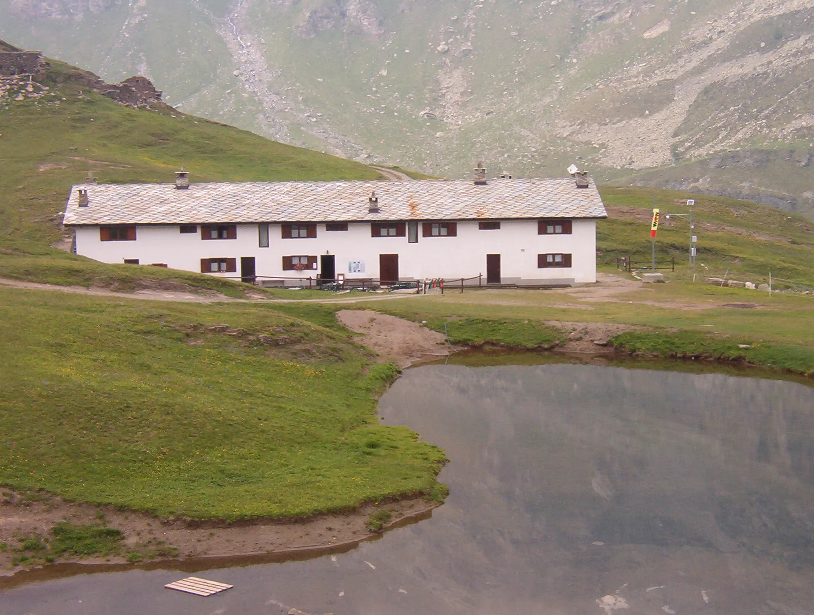
Rifugio Dondena · 2185 m
Climb to Fenêtre de Champorcher, skirt Lake Misérin and Rifugio Misérin before descending to Dondena in Mont Avic Regional Park.
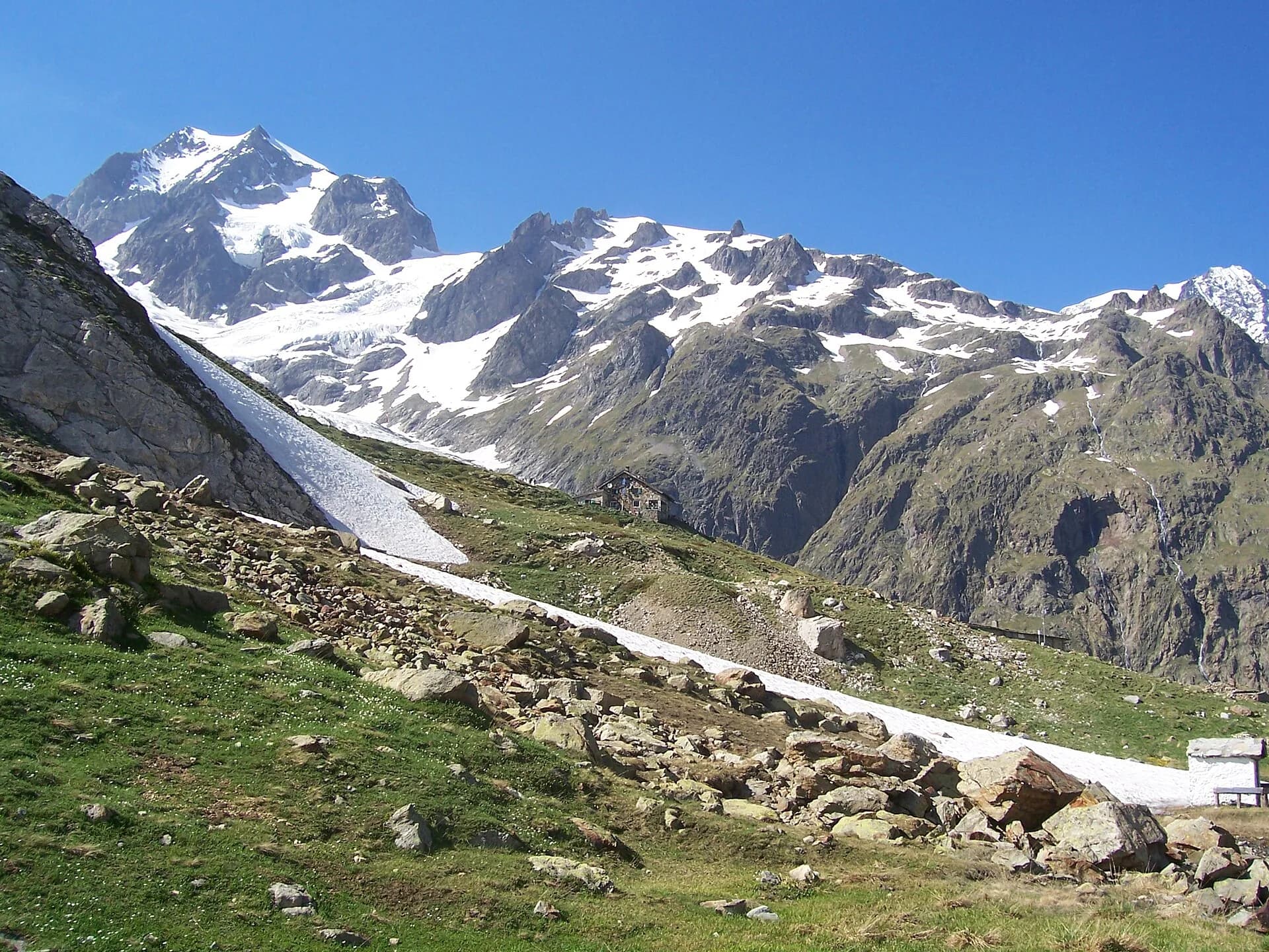
The Fenêtre de Champorcher (2,827 m) is the Alta Via’s last great pass: from the col, on clear days, Monte Rosa fills the north-eastern horizon. You descend to Lake Miserin and its sanctuary, destination of a centuries-old procession, and continue through high grasslands to the Dondena hut, inside the Mont Avic Natural Park.
Puntos clave
Fenêtre de Champorcher
2827 m · 2 km from start
Marked AV2 alpine pass
Lago Misérin
2580 m · 4 km from start
Ciencias de la Tierra
Geología y paisaje
Southern flank of Mont Avic: micaschists, gneiss and phyllites; glacial lakes (Misérin) and Pleistocene moraine deposits.
Historia y cultura
Every 5 August the Notre-Dame des Neiges procession climbs from Champorcher to the Miserin sanctuary: one of the oldest high-altitude religious festivals in the western Alps.
Fuentes de agua
Dondena, Misérin and Sogno di Berdzé huts; Champorcher village with bar.
Cómo llegar
VITA buses and connections from Aosta; check seasonal timetables at vita.it.
Aparcamiento
Parcheggi comunali nei paesi di valle; verificare limitazioni in alta stagione.
Refugios y vivacs
Galería de fotos
Photos are published immediately. JPG/PNG/WebP, max 6 MB.
Flora del sendero
Etapas contiguas
AEditado y verificado por Andrea Rama
Fuente de datos: Catasto Sentieri Regione Autonoma VdA — Alta Via n.2 · Open data — DGR 899/2014
Última verificación:
Champorcher
Senderos relacionados
Mismo valle o rutas similares — más excursiones por descubrir.
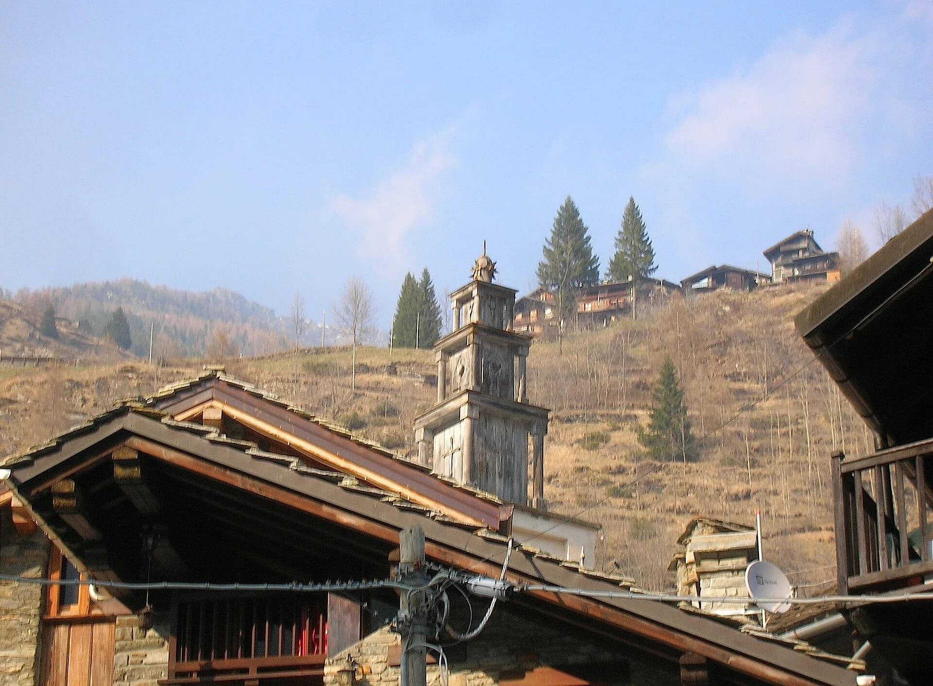
Champorcher
High Route 2 — Stage 13: Champorcher → Crest
Long stage to Crest-Damon with climb to Colle della Fricolla.
Val Veny
High Route 2 — Stage 1: Courmayeur → Rifugio Elisabetta Soldini
First stage of AV2: from Courmayeur to Rifugio Elisabetta in Val Veny, at the foot of Mont Blanc.
Bassa Valle
High Route 2 — Stage 14: Crest → Donnas
Final AV2 stage: from Retempio sanctuary to Donnas in the valley floor.
Val Veny
High Route 2 — Stage 2: Rifugio Elisabetta Soldini → La Thuile
Descent from Col des Chavannes to La Thuile across pastures and the La Thuile valley.