
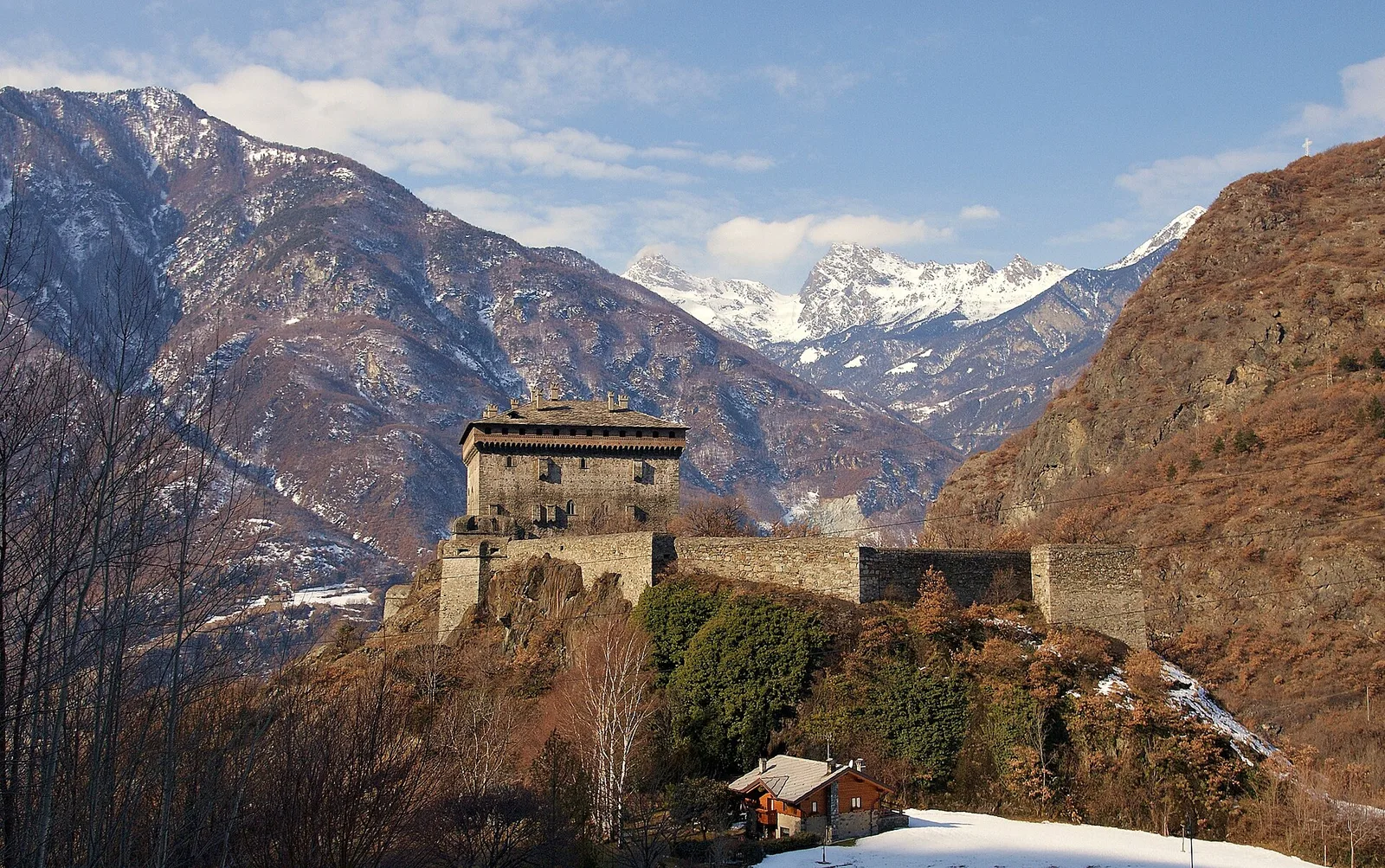
E
Val d'Ayas
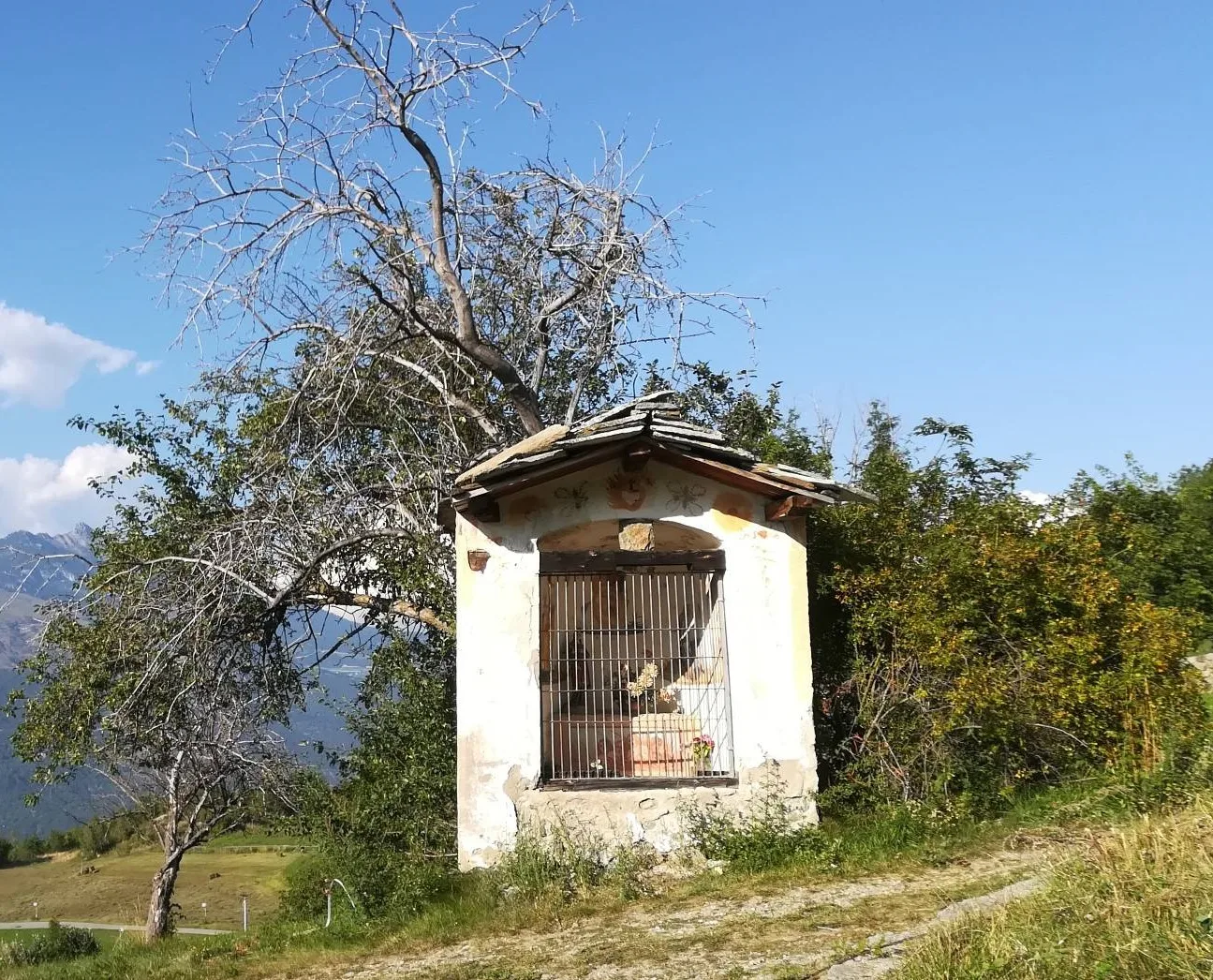
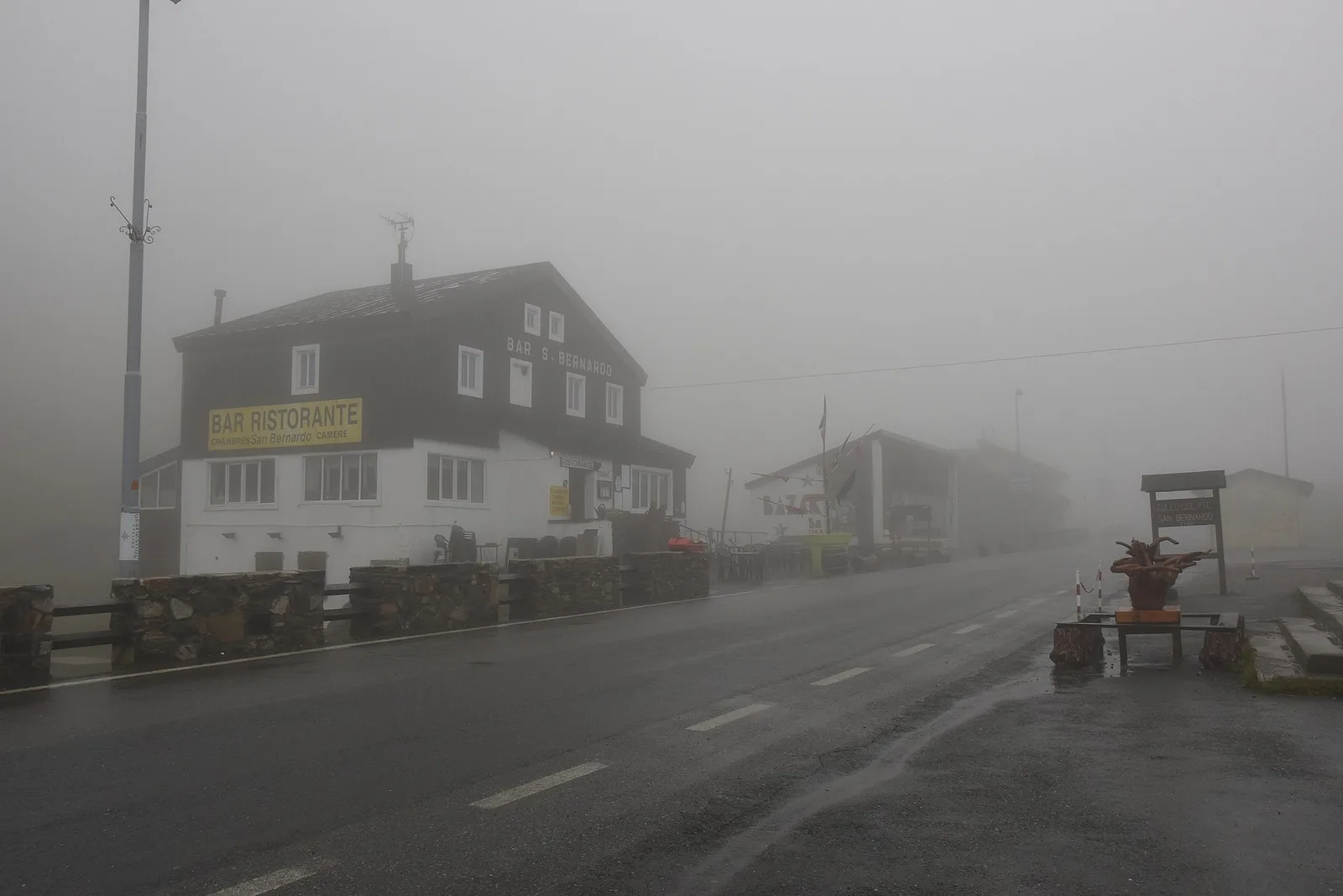
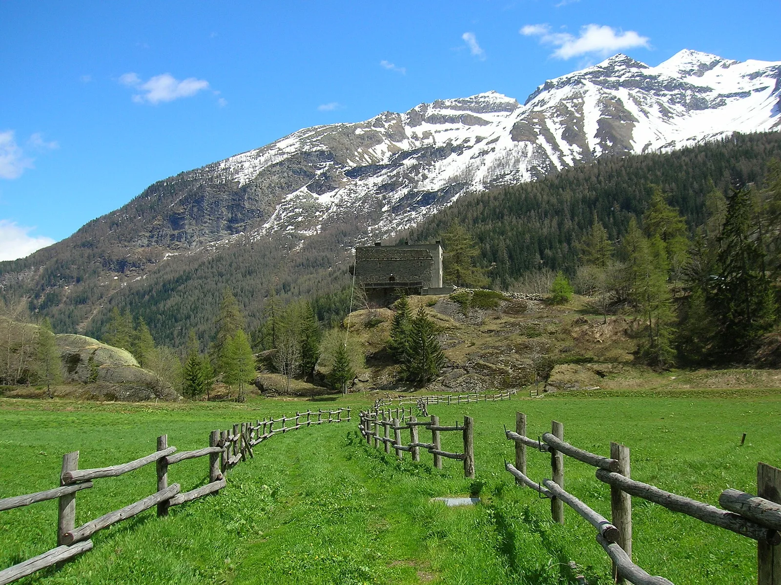
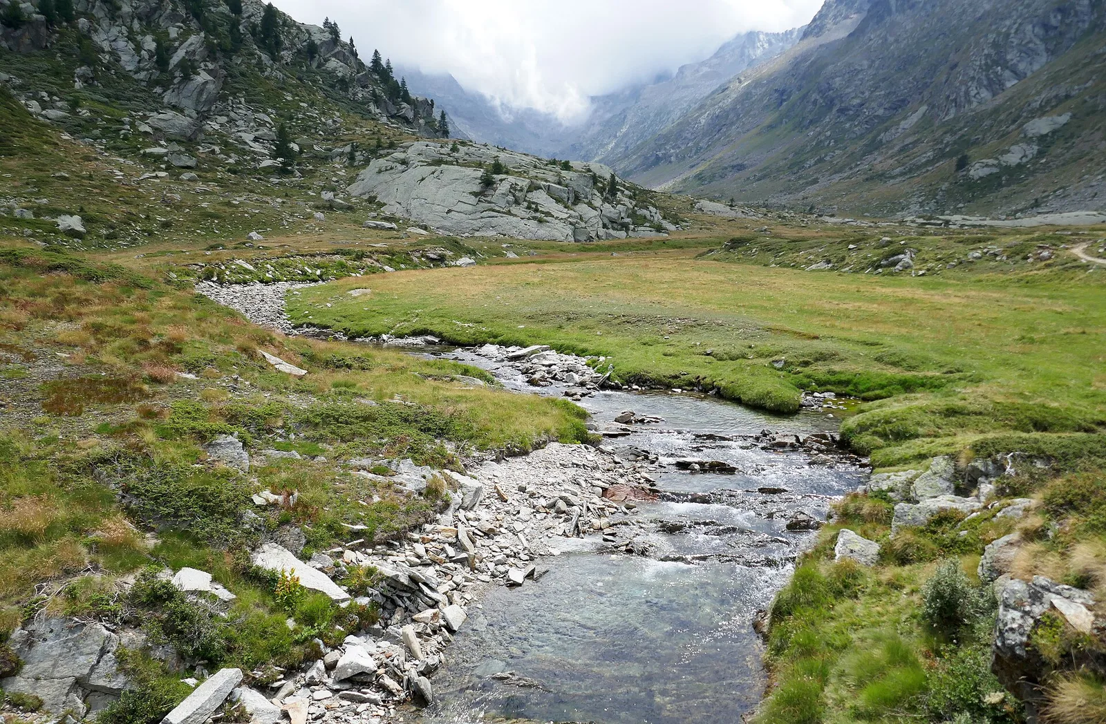
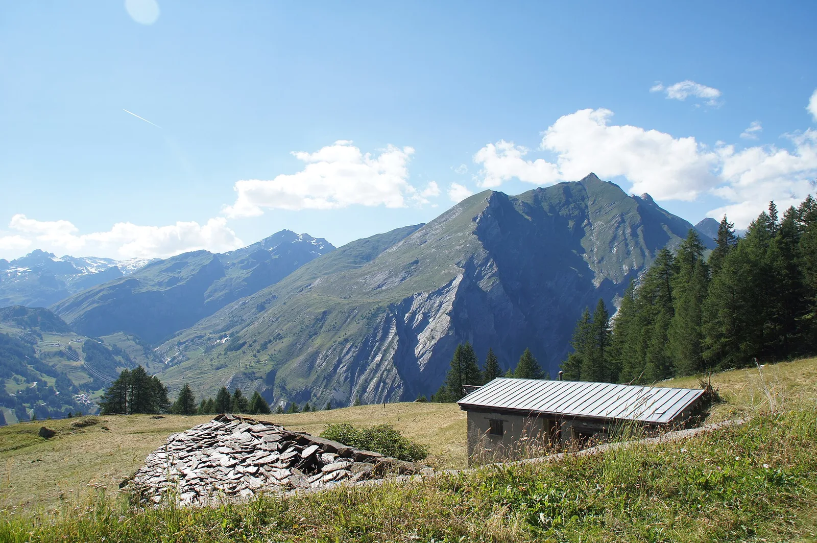
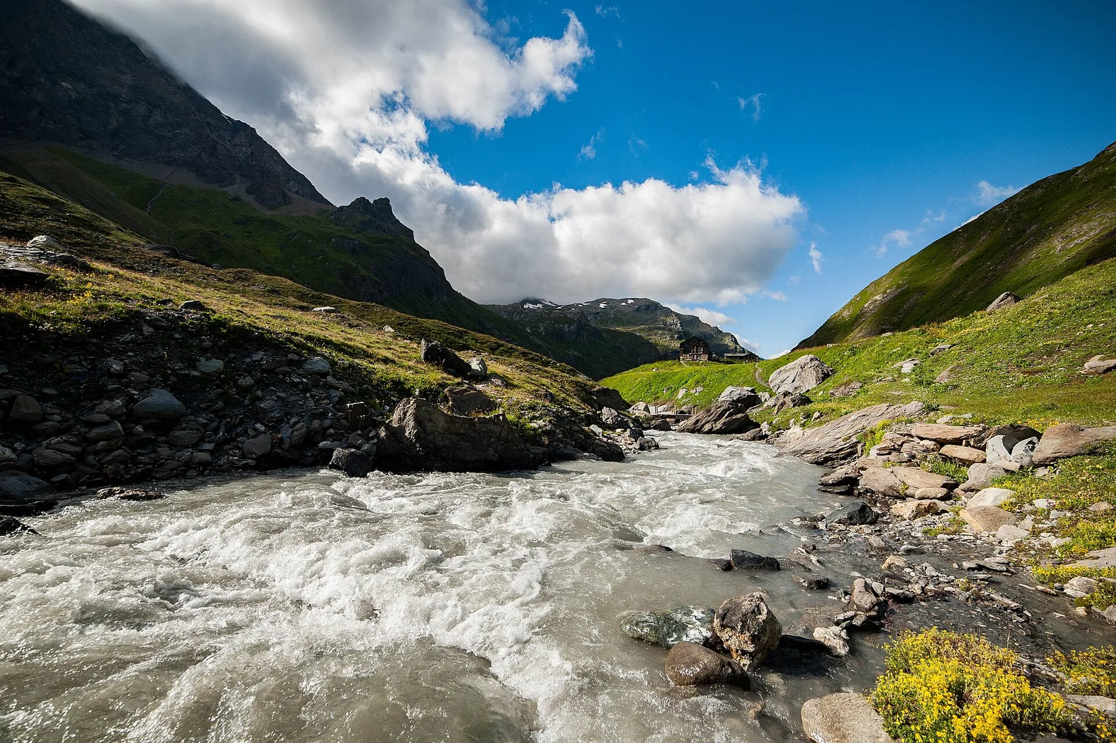
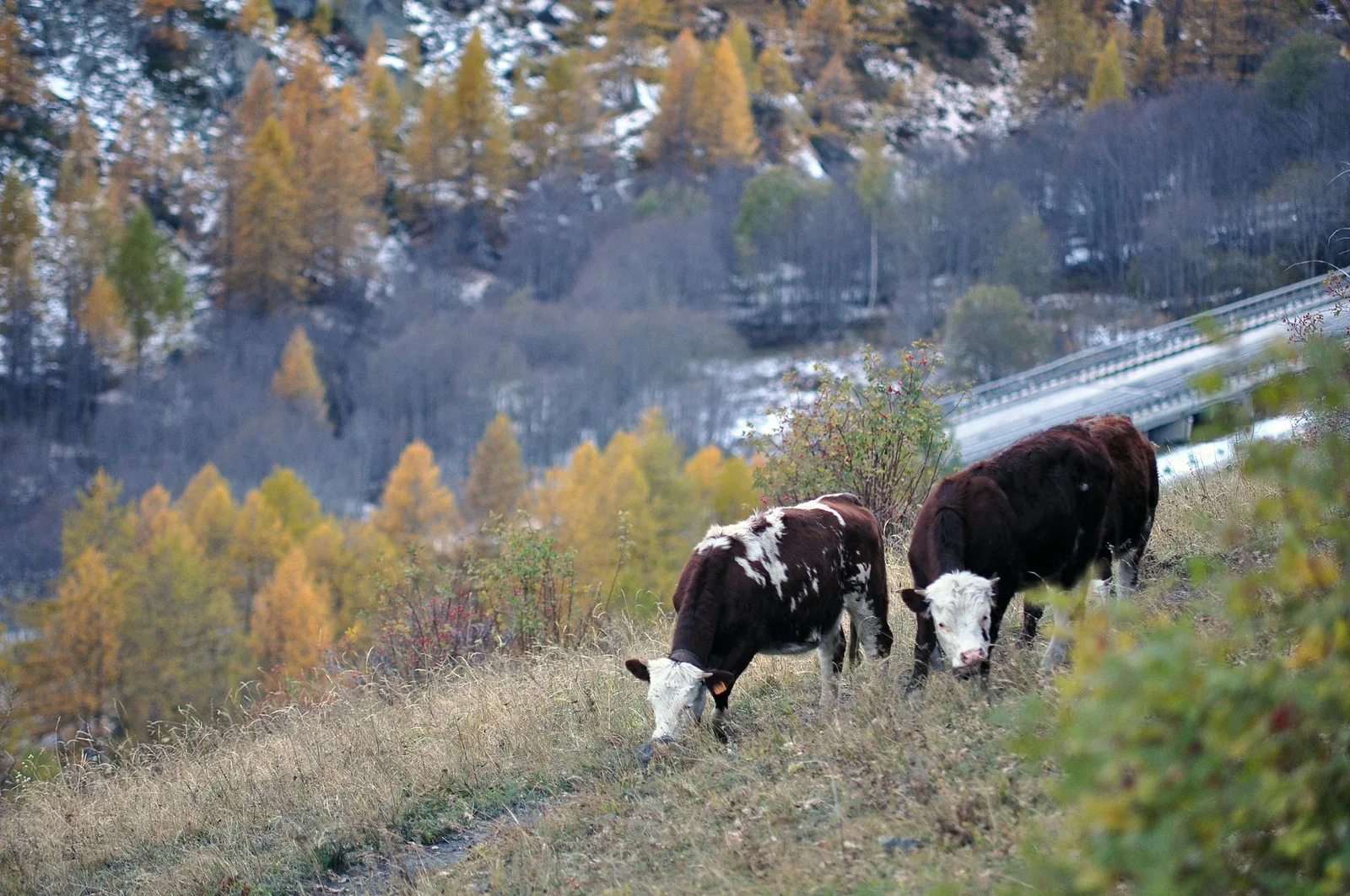
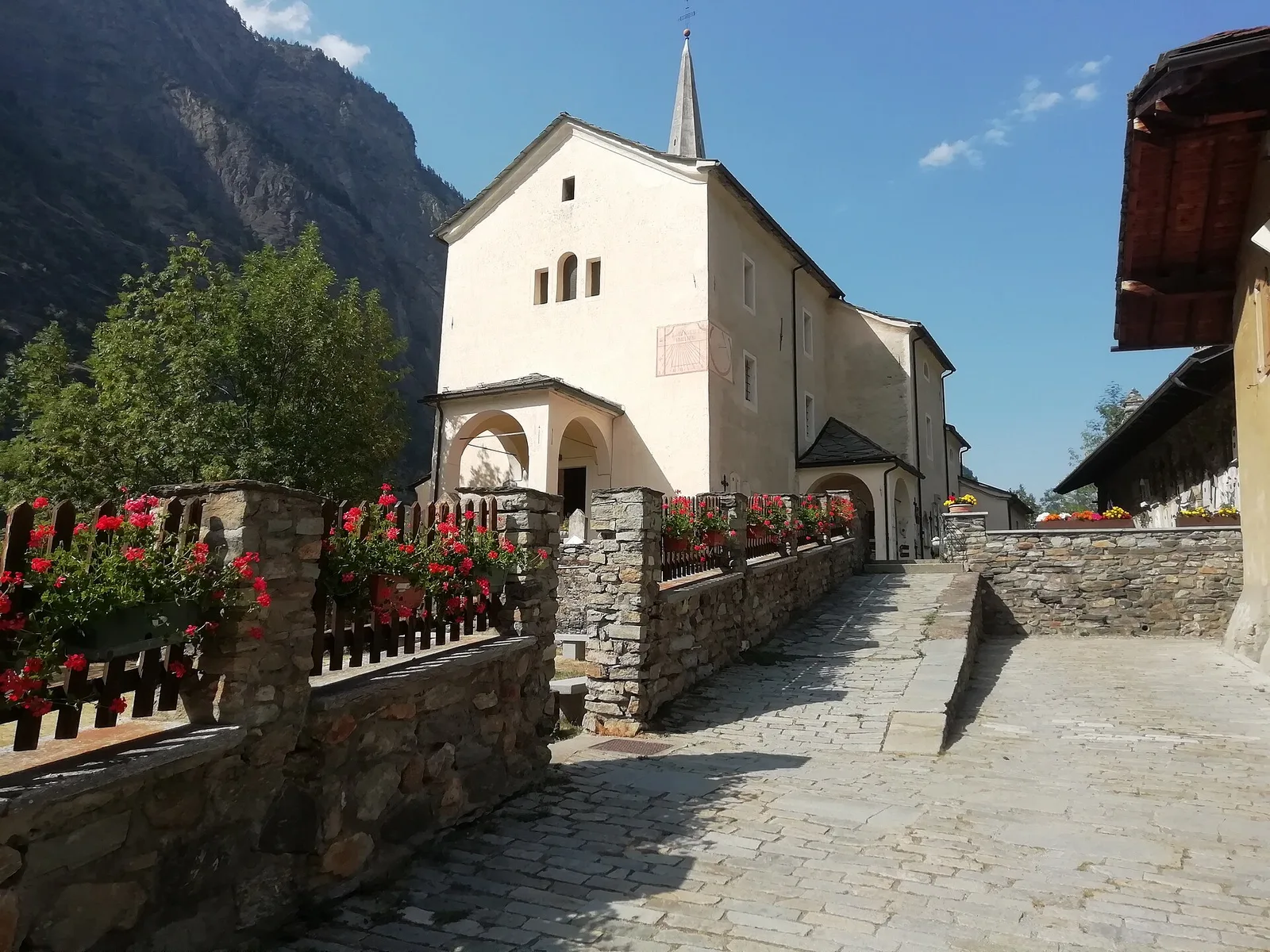
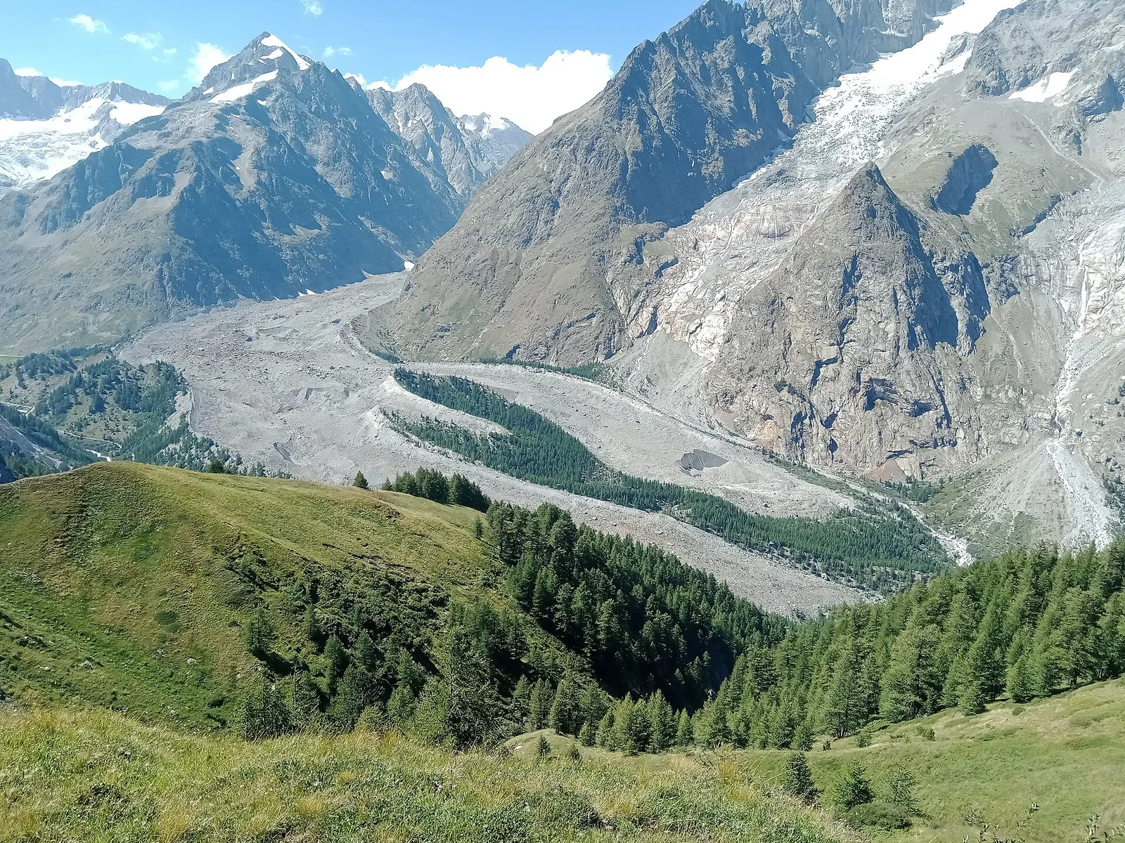
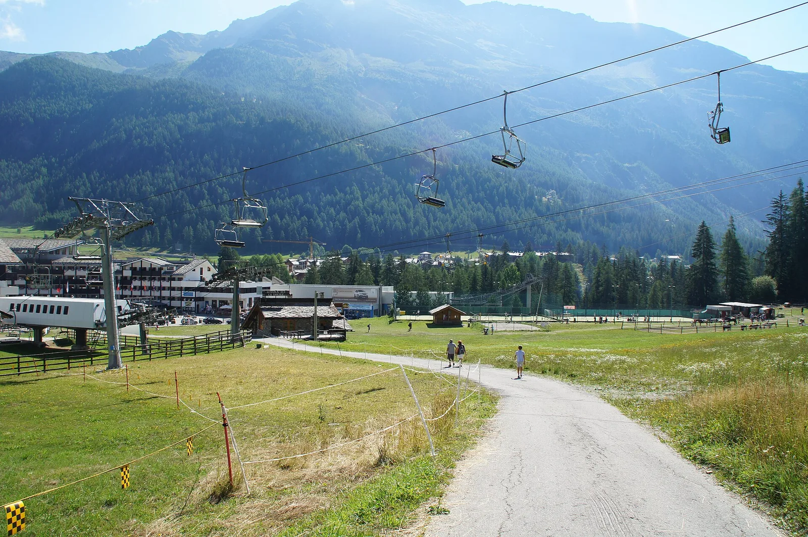
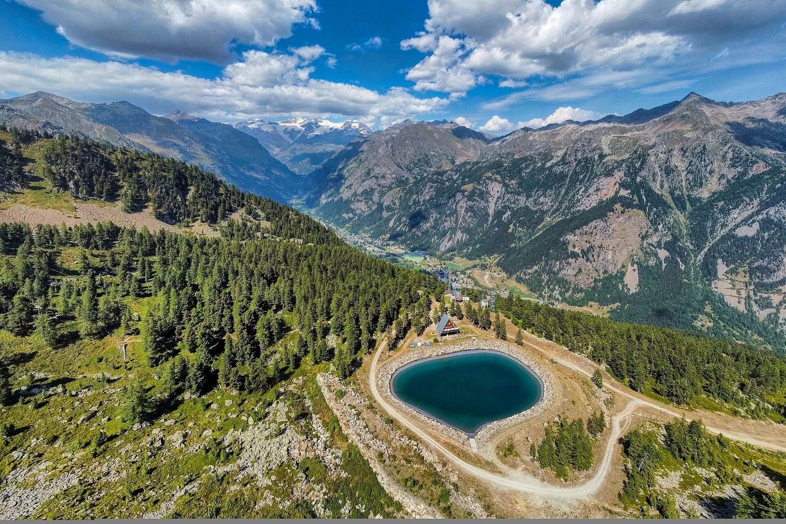
Amponey - Alpe Mascognaz
1.8 km · +309 m · E — from Amponey to Alpe Mascognaz (Central Valley).
1.8 km+309 m1 h
Where to spot
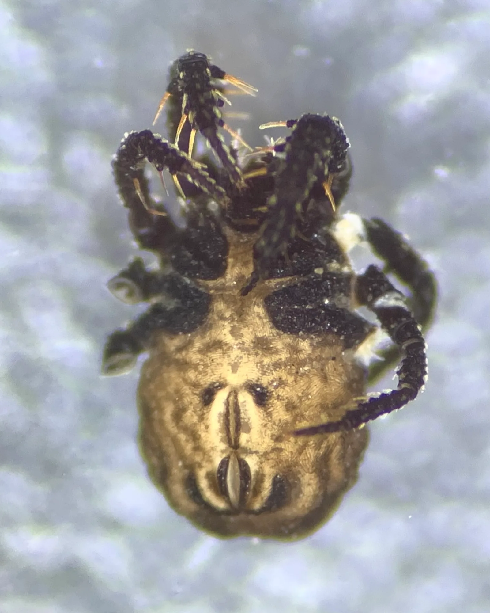
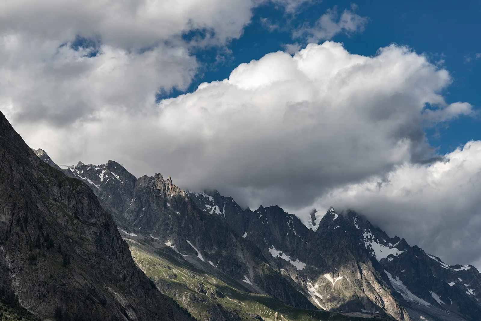
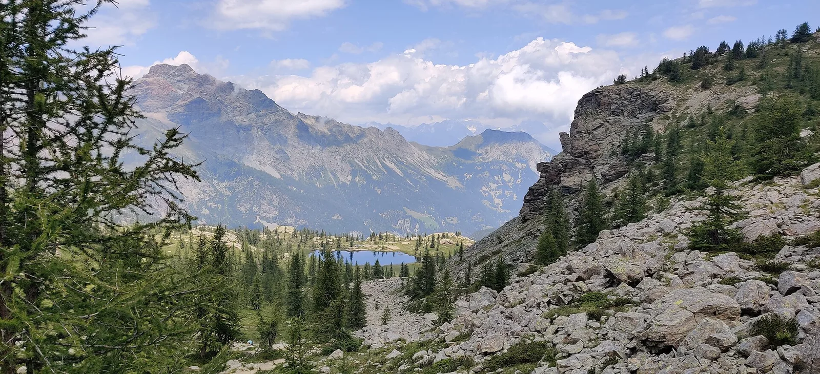
81 trails where Monkshood is listed in flora/fauna: difficulty T–EE, elevation gain 0–1795 m.
81 · 0.1–26.6 km · +0–1795 m
Val d'Ayas
1.8 km · +309 m · E — from Amponey to Alpe Mascognaz (Central Valley).

Valtournenche
1.9 km · +140 m · E — from Champlève to Champlève (Central Valley).

Valle centrale
2.1 km · +333 m · E — from Arpilles to Champromenty (Lys Valley).
Valtournenche
0.1 km · +840 m · E — from Bedeugaz to Plau (Central Valley).
Val d'Ayas
6 km · +828 m · E — from Bellecombe to Thoule (Valdigne).
Valtournenche
3.3 km · +507 m · EE — from Berzin to Cappella di Saint-Evence (Valpelline).
Val di Cogne
A short high-altitude climb from the Gontier bivouac to Col du Tradzo, at 2,875 metres, on the buttresses of the Gran Paradiso National Park.
Valle centrale
5 km · +816 m · E — from Blavy to Col de Joux (Valpelline).
Bassa Valle
6.1 km · +965 m · E — from Bourg to Verale (Valtournenche).
Valgrisenche
4.4 km · +1118 m · E — from Bruil to Col Fenêtre de Torrent (Great St Bernard Valley).

Valle di Champorcher
3.8 km · +903 m · E — from Castagnot to Colle d'Arcomy (Central Valley).
Valle centrale
4.5 km · +571 m · E — from Challancin to Col de Bard (La Thuile).
Valle centrale
4 km · +720 m · E — from Chambave to Del (Central Valley).

Valpelline
From Chamin (1,732 m) to the Bivacco della Sassa (2,964 m) in the quiet Valpelline: 7.1 km and 1,246 m of ascent.

Val d'Ayas
2.1 km · +264 m · E — from Champoluc to Mandriou (Central Valley).
Val di Rhêmes
6.4 km · +210 m · E — from Chanavey to Thumel (Great St Bernard Valley).
Valle di Champorcher
2.7 km · +567 m · E — from Chardonney to Bec de Monpey (Valtournenche).
Valle di Champorcher
4.8 km · +647 m · E — from Chardonney to Parcheggio Dondena (Sentiero Scalette) (Valtournenche).
Valle centrale
3.7 km · +1032 m · E — from Comboé (Comboué) to Becca di Nona (Cogne Valley).
Valsavarenche
2.5 km · +549 m · E — from Degioz to Bocconère (Ayas Valley).
Valle di Champorcher
6.7 km · +739 m · E — from Dondena to Col Fenetre de Champorcher (Valtournenche).

Valpelline
4.2 km · +900 m · E — from Doues-Planavilla to Plan du Débat (Valtournenche).
Valle centrale
2.5 km · +239 m · E — from Druges to Miniera di Servette (Great St Bernard Valley).
Valle centrale
3.1 km · +239 m · E — from Druges to Miniera Servette (Great St Bernard Valley).
Val di Cogne
8.6 km · +898 m · EE — from Epinel to Bivacco Gontier (Lys Valley).
Val d'Ayas
0.4 km · +0 m · E — from Erésaz to Grand Hoel (Great St Bernard Valley).
Valle del Gran San Bernardo
6.7 km · +1353 m · E — from Vachery to Col Barasson Est (Central Valley).
La Thuile
9.6 km · +1181 m · E — from Faubourg to Col d'Arp (Lys Valley).
Bassa Valle
2.5 km · +373 m · E — from Fey to Piatolet (Central Valley).
Valle centrale
1.6 km · +197 m · E — from Gerbore to Mont Greume (Central Valley).
Valle del Gran San Bernardo
12.3 km · +890 m · E — from La Cheriettes to Alpe Ars (Central Valley).
Valle centrale
A sustained climb from La Clusaz (1660 m) to the Col de la Crosatie (2829 m), a high pass on the Alta Via 2 towards Planaval.
La Thuile
6.1 km · +1012 m · E — from La Thuile to Cappella di San Grato/Santa Margherita (Lys Valley).
Valle centrale
12.3 km · +1676 m · E — from Lavanchers to Col de Licony (Central Valley).

Valle di Champorcher
9 km · +1364 m · EE — from Le Crin to Col Fussy (Lys Valley).
Valle del Lys
5.4 km · +1289 m · E — from Le Miriou to Monte Lose Bianche (Central Valley).

Valtournenche
1 km · +245 m · E — from Lies to Bosco di protezione (Valtournenche).
Val di Cogne
9.5 km · +1151 m · E — from Lillaz to Bivacco Devis Gérard (Lys Valley).
Val di Cogne
10.8 km · +917 m · E — from Lillaz to Rifugio Sogno di Berdzé (AV 2) (Lys Valley).

Bassa Valle
6.2 km · +1327 m · E — from Lo Pian to Lac de Panaz (Central Valley).
Valpelline
0.5 km · +135 m · E — from Località Champette to innesto sentiero 6 A (Valtournenche).
Valle di Champorcher
5.2 km · +1204 m · EE — from Maisonnasse to Col de Raye Chevrère (Lys Valley).
Val d'Ayas
3.9 km · +1057 m · E — from Omens to Bec de l'Oie (Valtournenche).
Valpelline
In the Valpelline, commune of Bionaz: an E-rated climb from forest to the Comba di Vertsan pastures.
Valtournenche
3.7 km · +317 m · E — from Paquier to Champleve (Central Valley).
Valtournenche
4.9 km · +740 m · E — from Perrère to Bec du Pio Merlo (Central Valley).
Valle di Champorcher
1.4 km · +381 m · EE — from Petit-Rosier to Col de Poussauel (Valtournenche).
La Thuile
4.8 km · +626 m · E — from Petosan to Col de la Croix (Lys Valley).
Val di Cogne
5.8 km · +1040 m · E — from Pila to Col Chasèche (Lys Valley).
Val d'Ayas
1.2 km · +160 m · E — from Pilaz to Fontaines de Goillaz (Ayas Valley).

Valle del Lys
5.3 km · +815 m · E — from Plan Coumarial to Rifugio Coda (Lys Valley).
Val Veny
1.2 km · +156 m · E — from Plan de Lognan to Jardin du Miage (Lac Vert) (Great St Bernard Valley).
Valtournenche
4.5 km · +428 m · E — from Plan Maison to Colle Superiore Cime Bianche (Central Valley).
Valpelline
6.4 km · +1365 m · E — from Ponte Vernosse to Col de Saint-Barthélemy (Lys Valley).
Bassa Valle
9 km · +1546 m · E — from Pramotton to Alpe Bonze (Valtournenche).
Valgrisenche
4.5 km · +594 m · E — from Rifugio Bezzi to Col du Lac Noir (Valtournenche).
Valtournenche
1.8 km · +36 m · T — from LOU to Incrocio pista forestale (Central Valley).
Valpelline
4.9 km · +0 m · E — from Vaud to Châtelair (Valpelline).
Valle centrale
In the commune of La Salle, Valdigne: an E-rated climb with significant elevation gain toward upper slope zones.
Valle del Gran San Bernardo
6.3 km · +1304 m · E — from Saint-Léonard to Mont Flassin (Central Valley).
Valle del Gran San Bernardo
0.8 km · +34 m · T — from Saint-Oyen to Pallais dessous (Great St Bernard Valley).
Valle centrale
2.9 km · +672 m · E — from Sarral to Champromenty (Central Valley).
Valtournenche
26.6 km · +940 m · E — from Perrères to Perrères (Central Valley).
Valle centrale
4.3 km · +688 m · E — from Sorressamont to Champromenty (Lys Valley).
Valle di Champorcher
2.5 km · +542 m · E — from Strada Dondena to Col Lago Bianco (Valtournenche).
Valle del Gran San Bernardo
Along the historic Ru de Menouve, a gentle, almost level walk from Daillon to the Alpe Ponteille, on the edge of the Menouve valley.
Val d'Ayas
From the Estoul road (1,884 m) via Lago Battaglia to the Corno Boussolaz summit (3,023 m): 7.9 km EE in Val d'Ayas.
Val Veny
15.2 km · +1482 m · E — from Capoluogo to Rifugio Elisabetta (Great St Bernard Valley).
Valtournenche
4.7 km · +747 m · E — from Capoluogo to Rifugio Barmasse (Central Valley).
Val Ferret
10.4 km · +982 m · E — from Capoluogo to Rifugio Frassati (Central Valley).
Valle centrale
11.9 km · +0 m · E — from Rifugio Bonatti to Capoluogo (Great St Bernard Valley).
La Thuile
2.6 km · +97 m · E — from Thovex to Granges (Lys Valley).
Valsavarenche
7.9 km · +1795 m · EE — from Toulaplana, Creton to Pointe Bioula (Ayas Valley).
Valtournenche
4.6 km · +581 m · E — from Triatel to Santuario di Gilliarey (Valpelline).
Valpelline
4.1 km · +598 m · E — from Capoluogo to Billiouque (Valtournenche).

Valpelline
2.5 km · +231 m · E — from Valpelline capoluogo to Crête (Valtournenche).
Valle centrale
High-level traverse from Vedun (1519m) to Jovençan (1868m) in the Valdigne: 6 km through historic pastures with Mont Blanc as backdrop.
Valle centrale
1.9 km · +80 m · E — from Vetan dessus to Leytanettaz (St-Nicolas) (Central Valley).
Bassa Valle
3.7 km · +616 m · E — from Vesey damon to Lac de Panaz (Central Valley).
Valle centrale
4.2 km · +632 m · E — from Voix to Champromenty (Central Valley).
Valle del Lys
2.7 km · +397 m · E — from Strada per Tschalvrino to Col Ranzola (Champorcher Valley).