Strada per Daillon - Alpe Ponteille (ru de Menouve)
8.8 km
+379 m
−0 m
3 h
Nivel físico
Mapa y ruta
Traza GPX — verifica sobre el terreno antes de caminar
Descripción
Puntos clave
Salida
Strada per Daillon · 1434 m
Llegada
Alpe Ponteille (ru de Menouve) · 1830 m
Sendero
S7
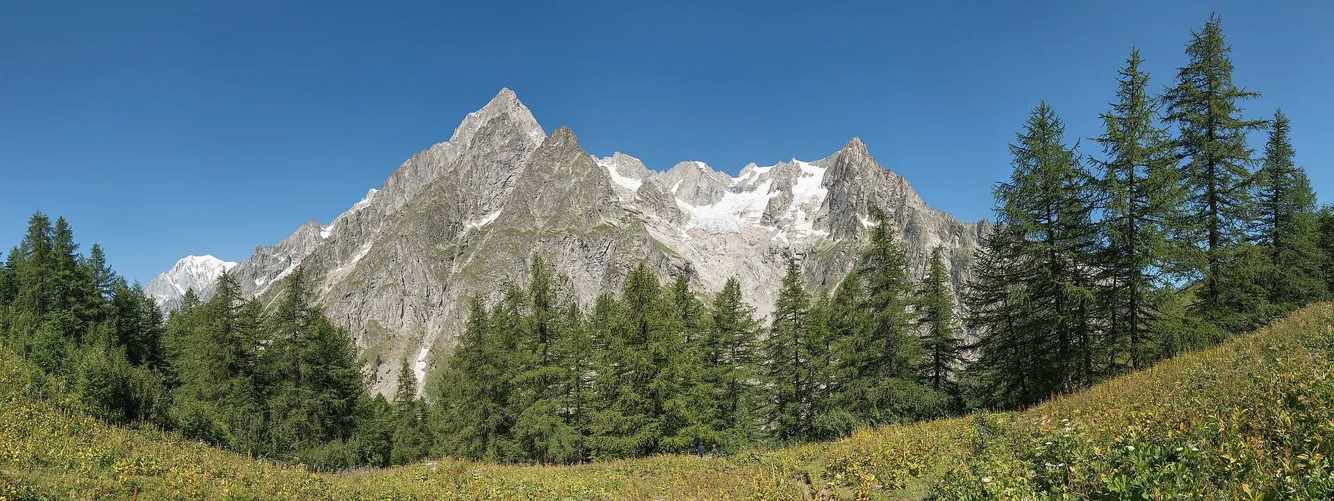
This itinerary follows the Ru de Menouve, one of Aosta Valley's historic irrigation channels cut along the slopes to carry mountain water down to the fields. It begins on the road to Daillon, a hamlet of Allein, at 1434 metres: the route climbs first on tarmac, then on a dirt track, passing the localities of Maurier, Comba and Berruard. From here the walk becomes long and gentle, eight kilometres and just under four hundred metres of ascent, following the thread of the ru along the hillside. It is the classic mountain-aqueduct path: minimal gradients, an environment of larch woods and alpine pastures typical of this belt, with wide views over the Great St Bernard valley. The trail leads to the lower Alpe Ponteille, at 1830 metres, on the edge of the Menouve valley, at the boundary with the municipality of Etroubles. Graded E, but with modest effort: a route suitable for everyone, where physical exertion gives way to reading the traditional farming and hydraulic landscape.
Aparcamiento
Galería de fotos
Photos are published immediately. JPG/PNG/WebP, max 6 MB.
Fauna que observar
AEditado y verificado por Andrea Rama
Fuente de datos: Catasto Sentieri Regione Autonoma VdA · Open data — DGR 899/2014
Última verificación:
Valle del Gran San Bernardo
Senderos relacionados
Mismo valle o rutas similares — más excursiones por descubrir.
Valle del Gran San Bernardo
Allein - Mont Saron
From Allein village, the climb to Mont Saron crosses forest, alpine pastures and a summit ridge on the watershed between Gran San Bernardo and Valpelline: 1434 m ascent for fit hikers.
Valle del Gran San Bernardo
Ayez - Genevrey
2.9 km · +477 m · E — from Ayez to Genevrey (Great St Bernard Valley).
Valle del Gran San Bernardo
Bivio strada sterrata per Jovençan - Lacs de Dziule
From Jovençan track junction (1855 m) to the glacial Lacs de Dziule (2553 m) in upper Valdigne: 5.8 km, +702 m. Open cirque scenery. E.
Valle del Gran San Bernardo
Bivio strada sterrata per Jovençan - Or de Fra - Lacs de Dziule
Through the Vertosan valley, the trail climbs to the Lacs de Dziule, glacial lakes at 2553 m set in a stark landscape of rock and high meadow in the Valdigne.