Allein - Mont Saron
Advertencias
- The final ridge section is exposed: sure footing and good visibility required.
- Late snow may remain on upper pastures in June.
7.5 km
+1434 m
−0 m
5.5 h
Nivel físico
Mapa y ruta
Traza GPX — verifica sobre el terreno antes de caminar
Descripción
Puntos clave
Salida
Chef-lieu · 1248 m
Llegada
Mont Saron · 2682 m
Sendero
S1
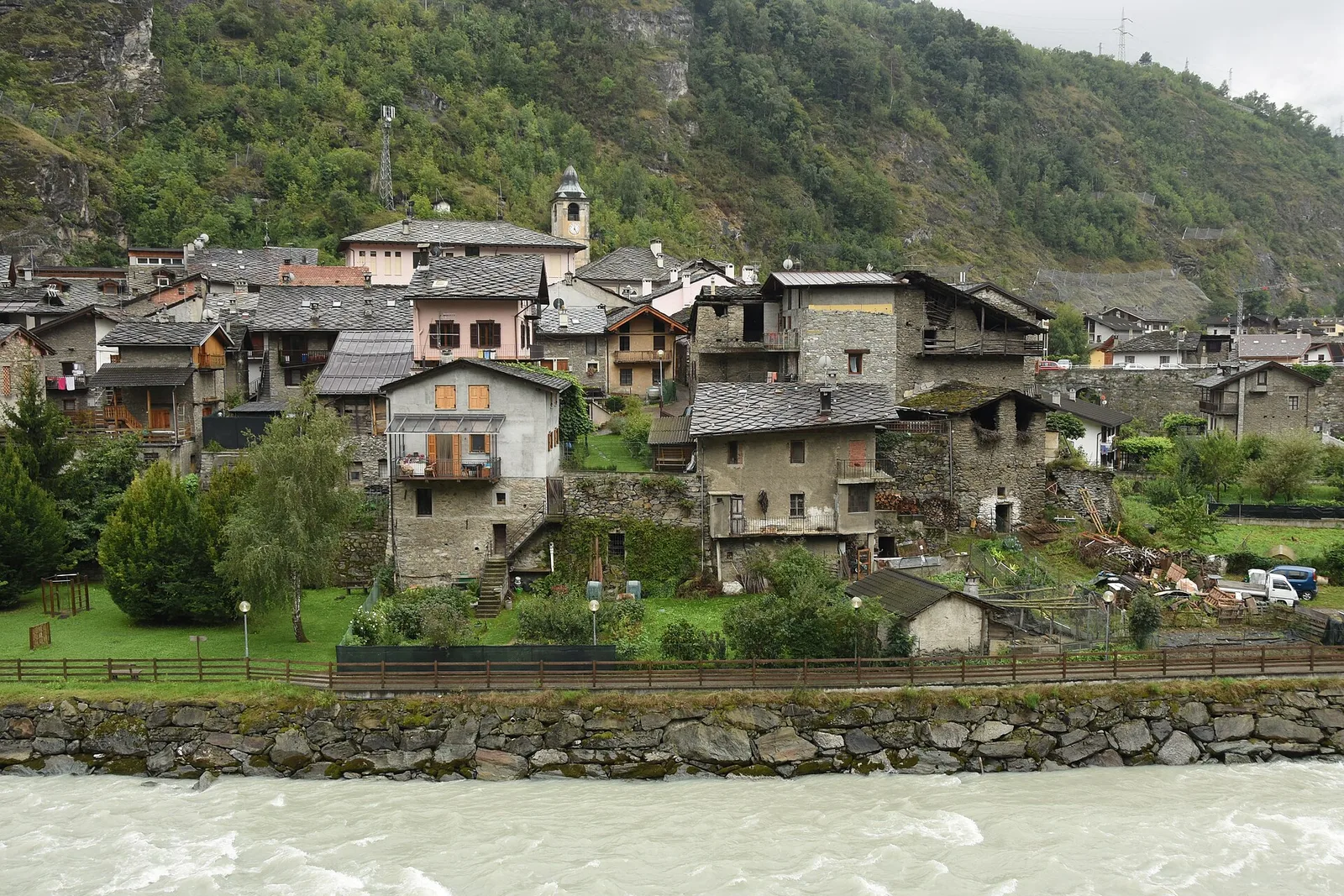
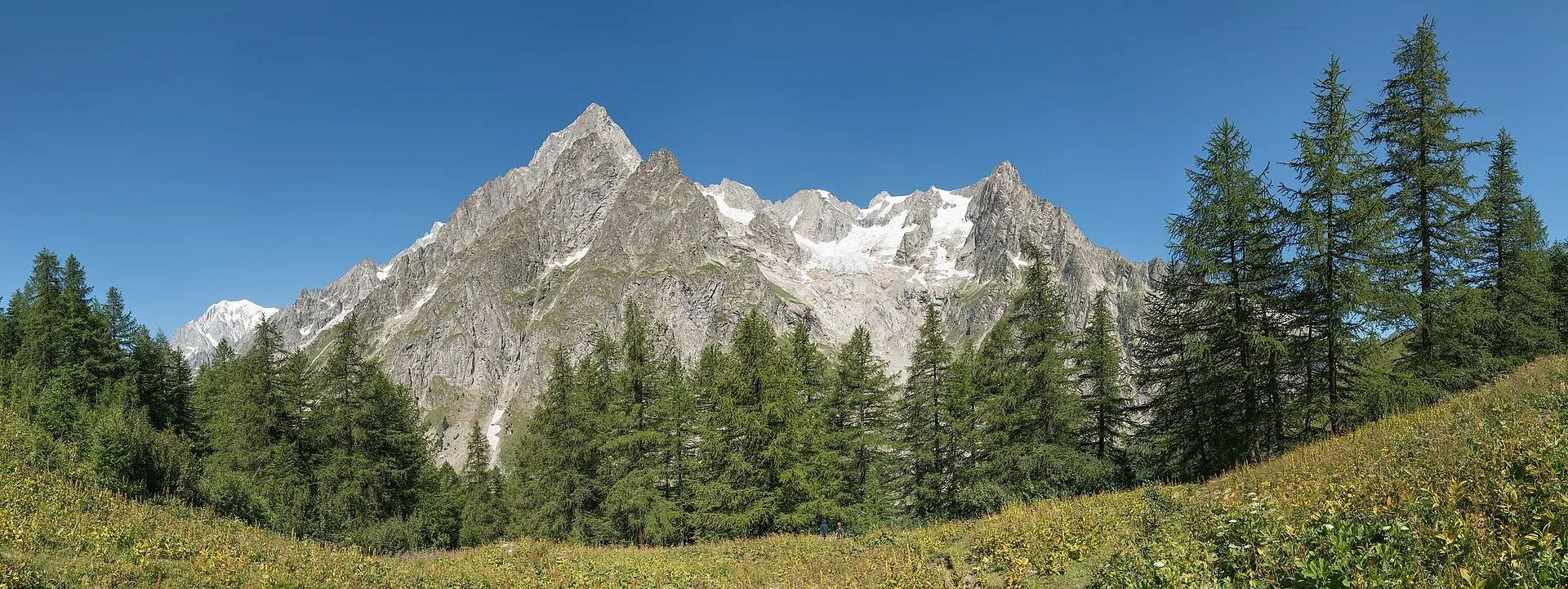
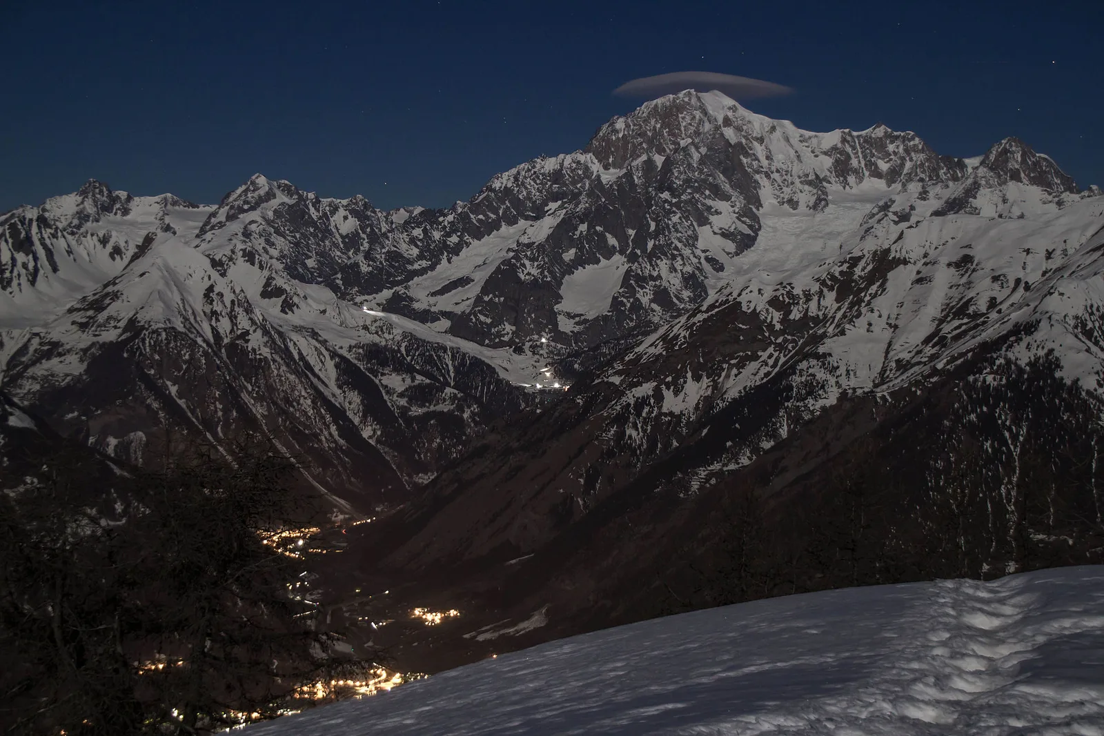
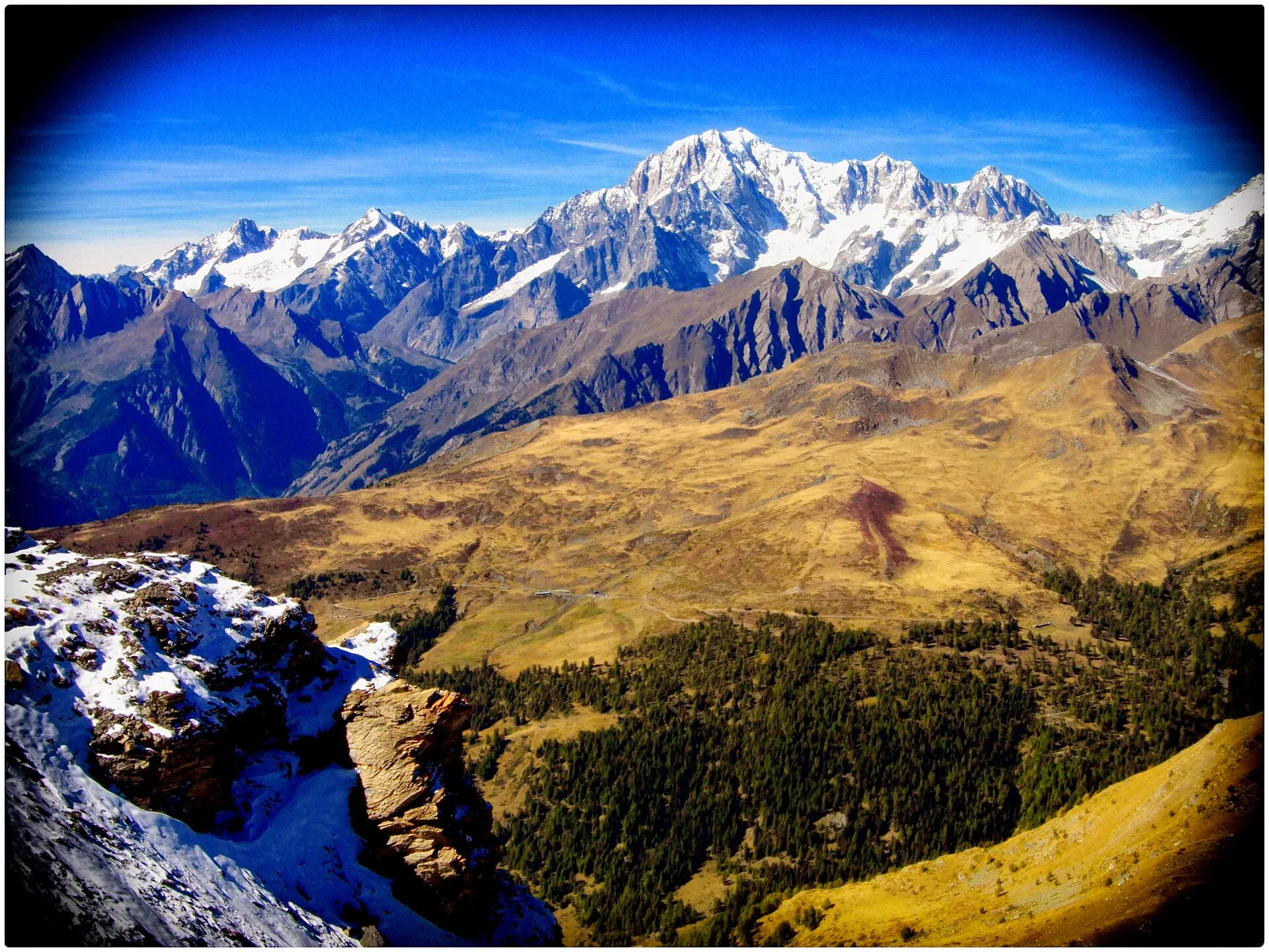
From the Chef-lieu of Allein (1248 m), the heart of this village in the Gran San Bernardo valley, trail no. 24 climbs steadily toward Mont Saron (2682 m), the landmark mountain that divides the Valpelline to the east from the Gran San Bernardo valley to the west. The route leaves the village behind the church, rising first through the hamlets of Ville and Bruson across meadows and mixed fir and larch forest. From the Bruson plateau, a farm track leads to Alpe Bossolaz, where the path re-enters thinning woodland before reaching the Fontaines alp and Alpe Parc. Beyond the pastures, open alpine grassland dominates: the trail gains height on grassy slopes, passes a spring at Fontanin, then traverses obliquely toward the opposite ridge. The final section follows the summit ridge to the top. The 1434 m ascent over 7.5 km makes this a demanding outing, requiring good fitness and sturdy footwear.
Aparcamiento
Galería de fotos
Photos are published immediately. JPG/PNG/WebP, max 6 MB.
Flora del sendero
Fauna que observar
AEditado y verificado por Andrea Rama
Fuente de datos: Catasto Sentieri Regione Autonoma VdA · Open data — DGR 899/2014
Última verificación:
Valle del Gran San Bernardo
Senderos relacionados
Mismo valle o rutas similares — más excursiones por descubrir.
Valle del Gran San Bernardo
Ayez - Genevrey
2.9 km · +477 m · E — from Ayez to Genevrey (Great St Bernard Valley).
Valle del Gran San Bernardo
Bivio strada sterrata per Jovençan - Lacs de Dziule
From Jovençan track junction (1855 m) to the glacial Lacs de Dziule (2553 m) in upper Valdigne: 5.8 km, +702 m. Open cirque scenery. E.
Valle del Gran San Bernardo
Bivio strada sterrata per Jovençan - Or de Fra - Lacs de Dziule
Through the Vertosan valley, the trail climbs to the Lacs de Dziule, glacial lakes at 2553 m set in a stark landscape of rock and high meadow in the Valdigne.
Valle del Gran San Bernardo
Bivio strada sterrata per Jovençan - Col Citrin
A short climb through alpine pastures to the Col Citrin (2487 m), a panoramic watershed facing Velan, Gelé and the Grand Combin.