Staffal - Punta Telcio
8.4 km
+1020 m
−0 m
4.5 h
Nivel físico
Mapa y ruta
Traza GPX — verifica sobre el terreno antes de caminar
Descripción
Puntos clave
Salida
Staffal · 1840 m
Llegada
Punta Telcio · 2833 m
Sendero
S10
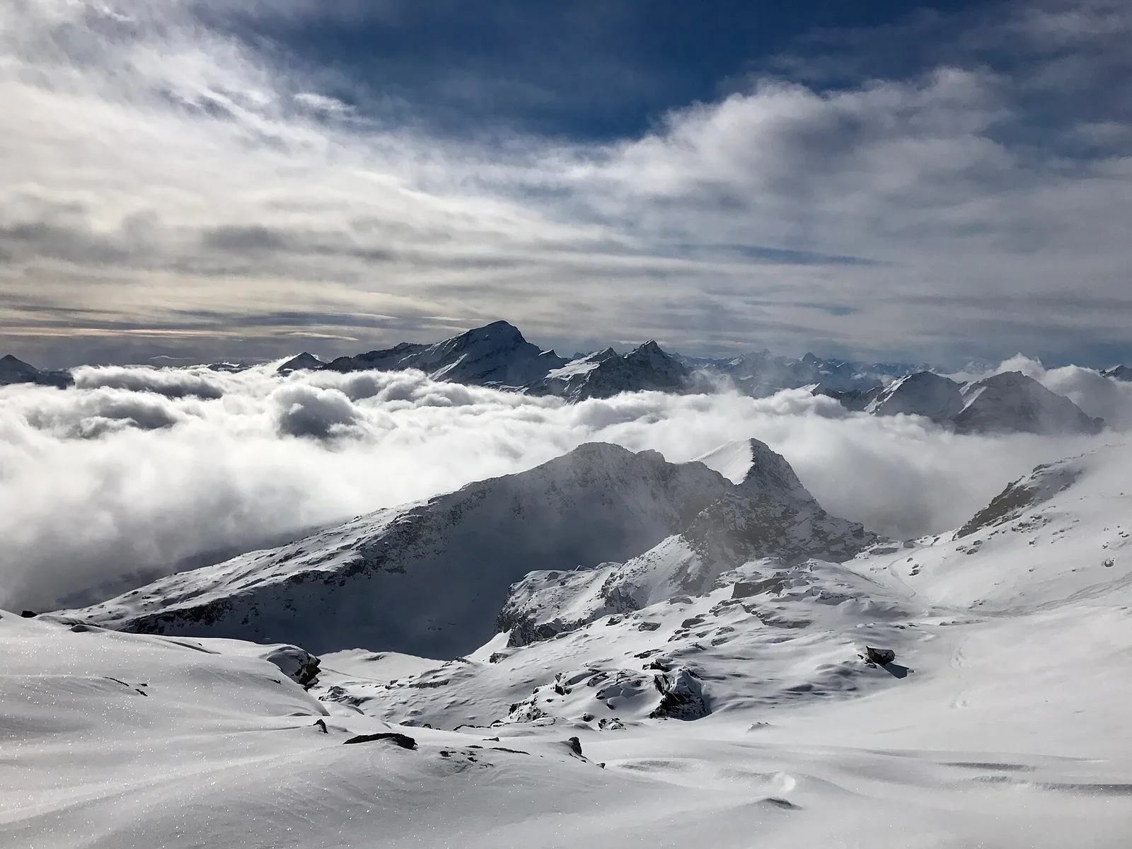
A demanding route from Staffal to Punta Telcio, a panoramic summit on the orographic left of the Lys valley. The long climb, with steep sections (EE), crosses abandoned alps and scree to the crest, from which the view ranges over the Monte Rosa chain, the Lys glaciers and, to the east, the Walser valleys. A lonely setting away from the lifts, for fit hikers.
Ciencias de la Tierra
Geología y paisaje
The bedrock is that of the Monte Rosa nappe — continental-crust gneisses and granites, greenstones of the Alpine ocean — carved and polished by the Lys glaciers, among recent moraines and roches moutonnées.
Historia y cultura
This is Walser country: the Alemannic settlers who crossed the Monte Rosa glaciers from Valais in the 13th century left Gressoney the Töitschu language, timber-and-stone stadel and the German names of the peaks.
Aparcamiento
Galería de fotos
Photos are published immediately. JPG/PNG/WebP, max 6 MB.
Flora del sendero
Fauna que observar
AEditado y verificado por Andrea Rama
Fuente de datos: Catasto Sentieri Regione Autonoma VdA · Open data — DGR 899/2014
Última verificación:
Valle del Lys
Senderos relacionados
Mismo valle o rutas similares — más excursiones por descubrir.

Valle del Lys
Anello dei Gemelli della Mologna
8.9 km · +996 m · EEA — from Niel to Niel (Great St Bernard Valley).

Valle del Lys
Balmeto - Leck Albezò
1.2 km · +287 m · E — from Balmeto to Leck Albezò (Champorcher Valley).

Valle del Lys
Bino - Passo di Valnera
4.5 km · +1280 m · E — from Bino to Alpe Jatza (Champorcher Valley).

Valle del Lys
Cascate di Niel
0.6 km · +80 m · E — from Start 7B to Cascate di Niel (Great St Bernard Valley).