EE
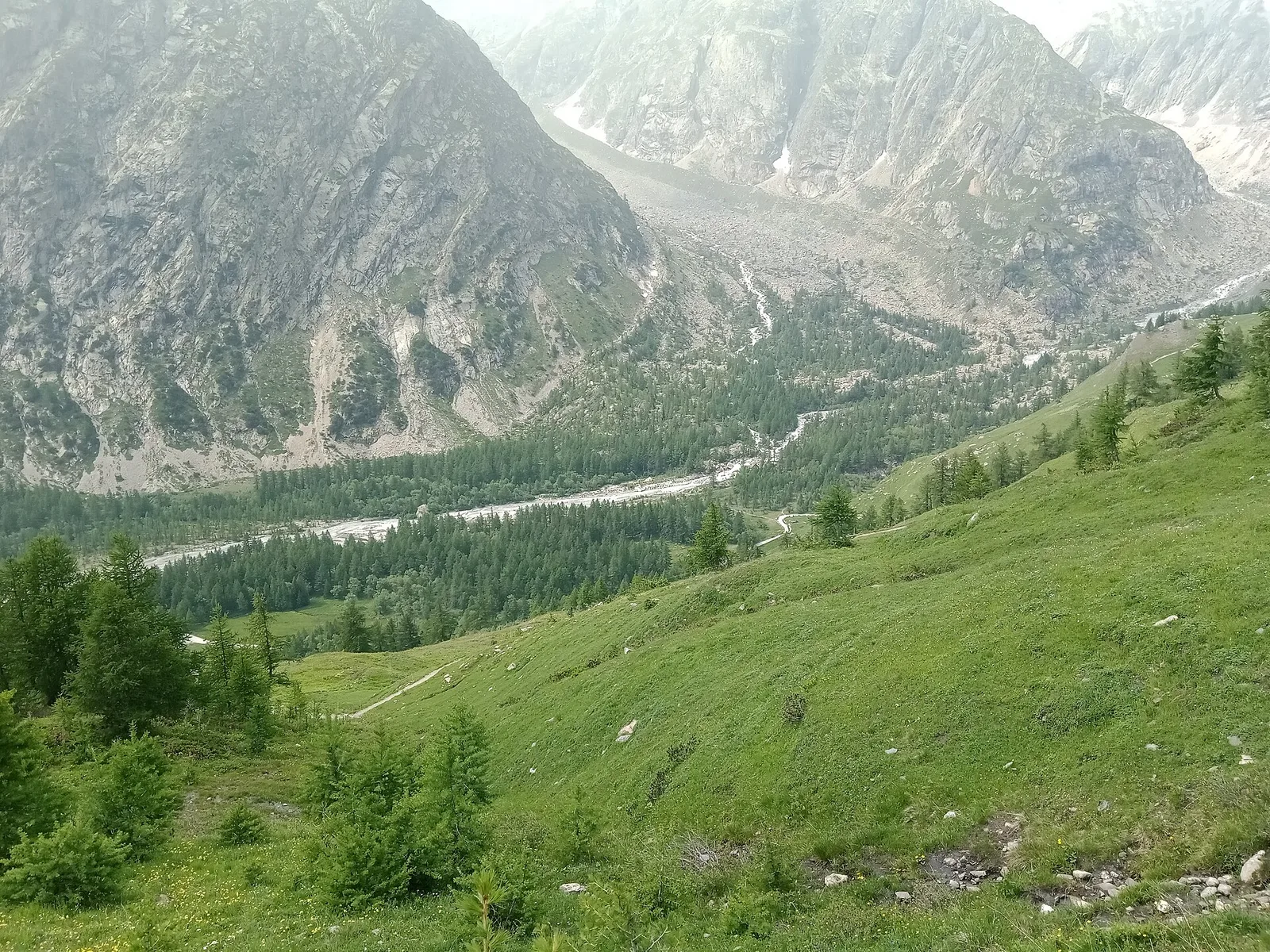
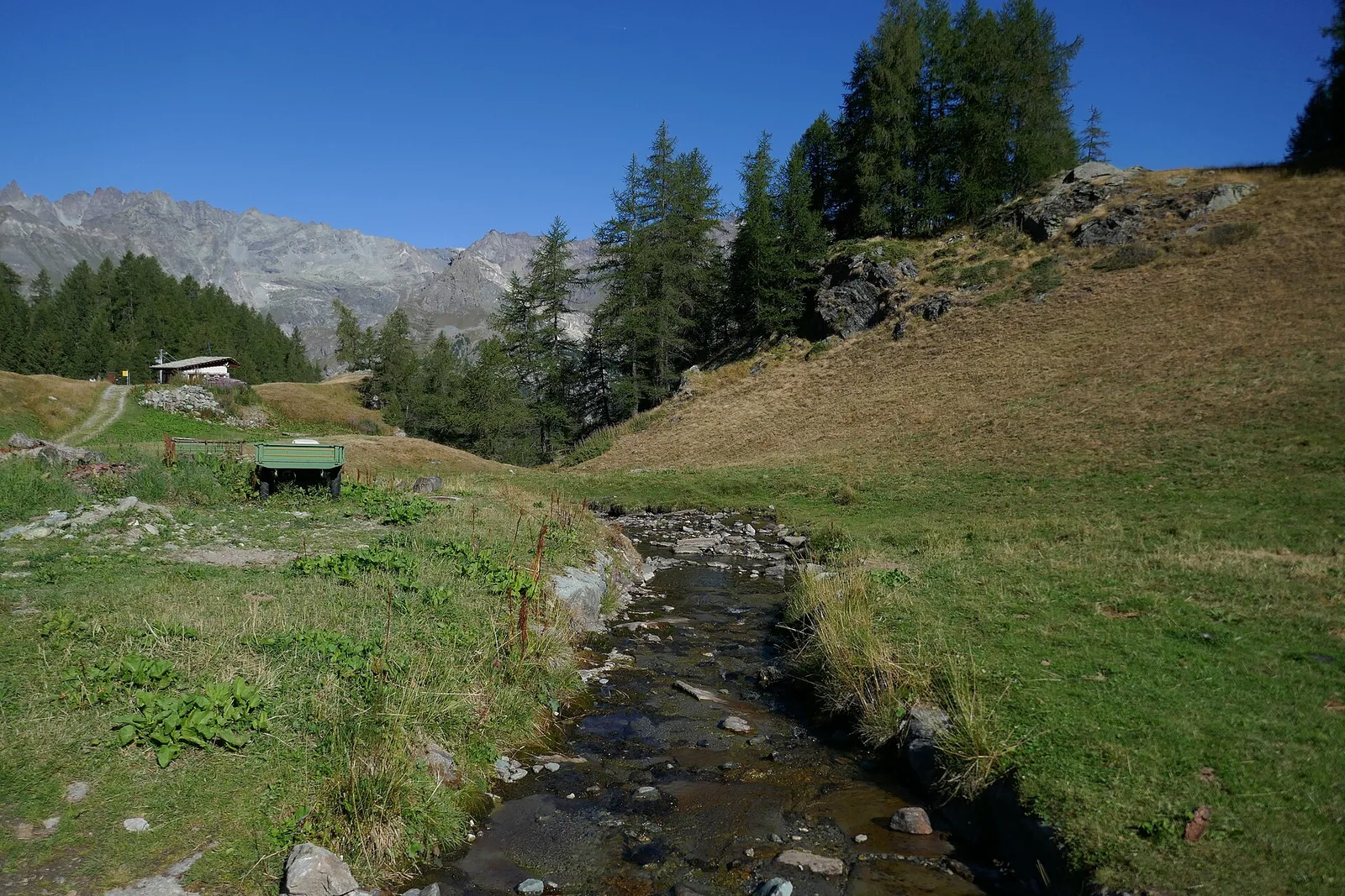
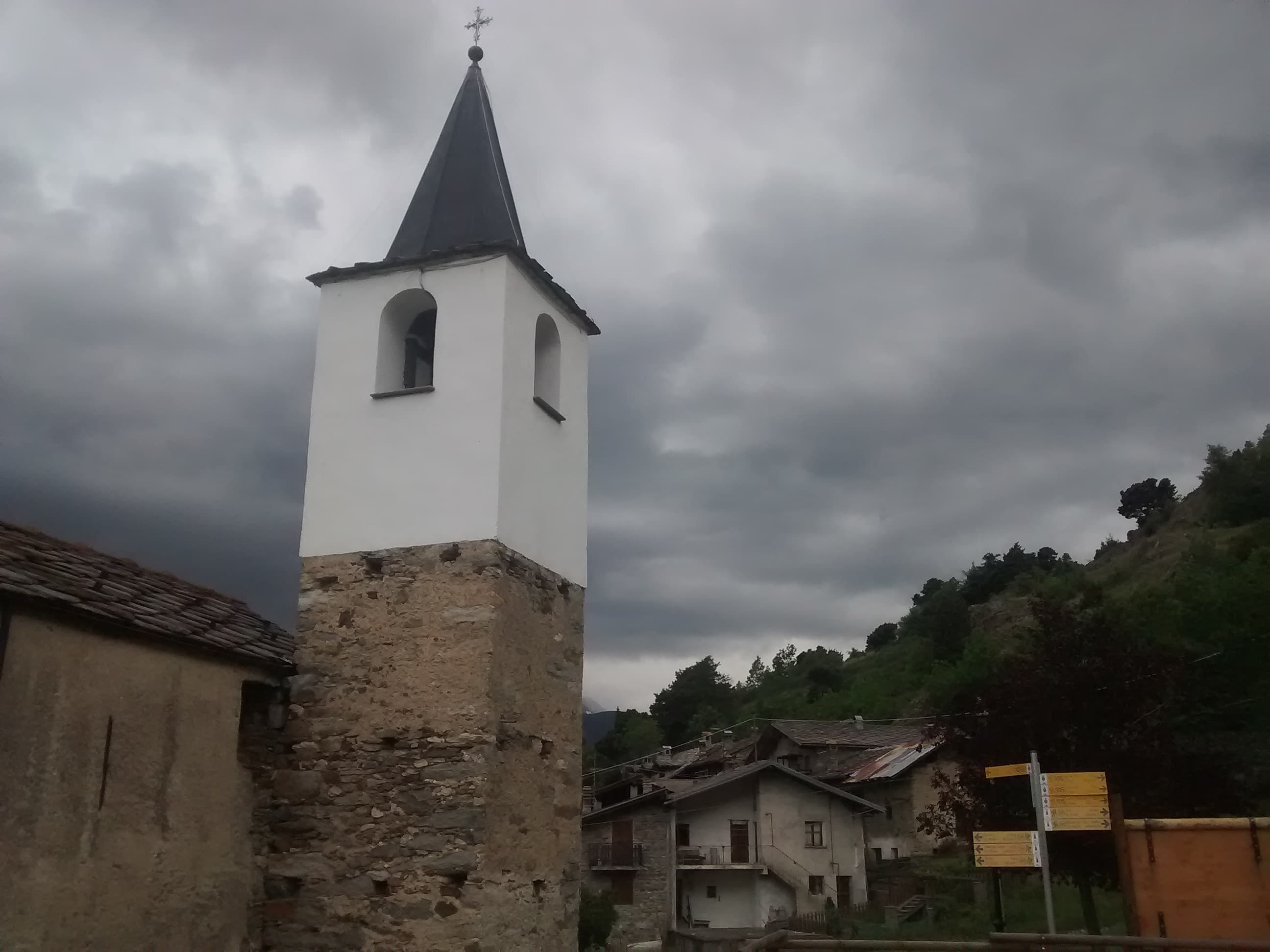
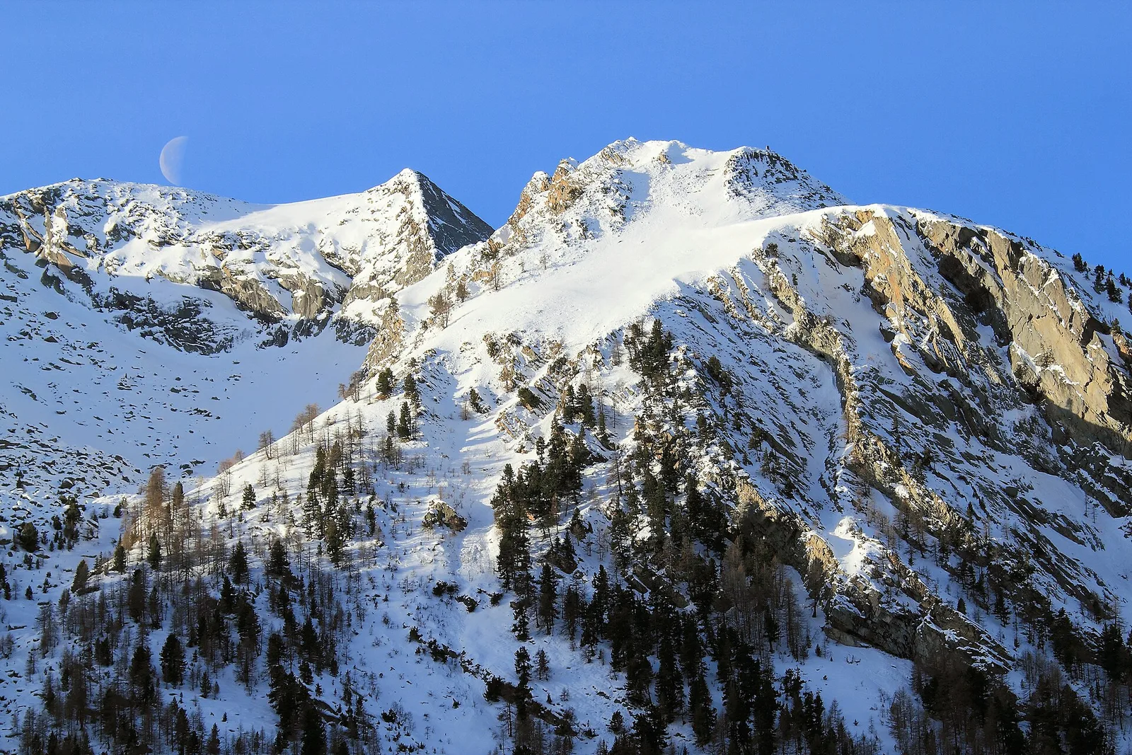
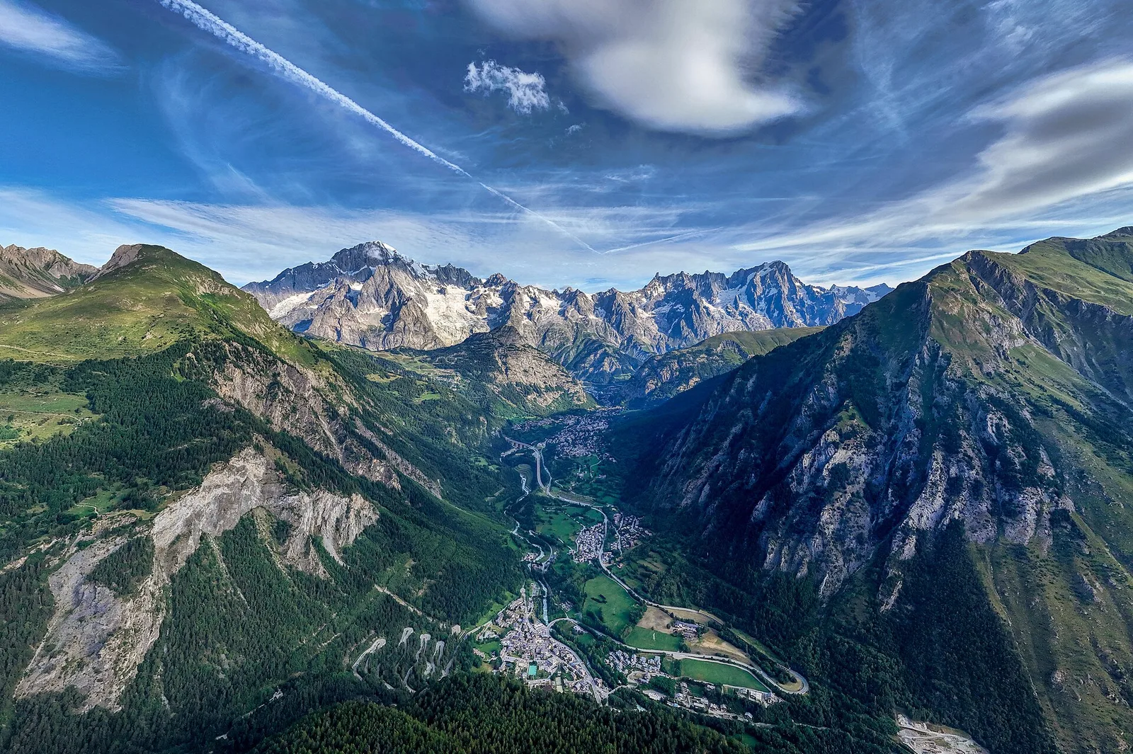
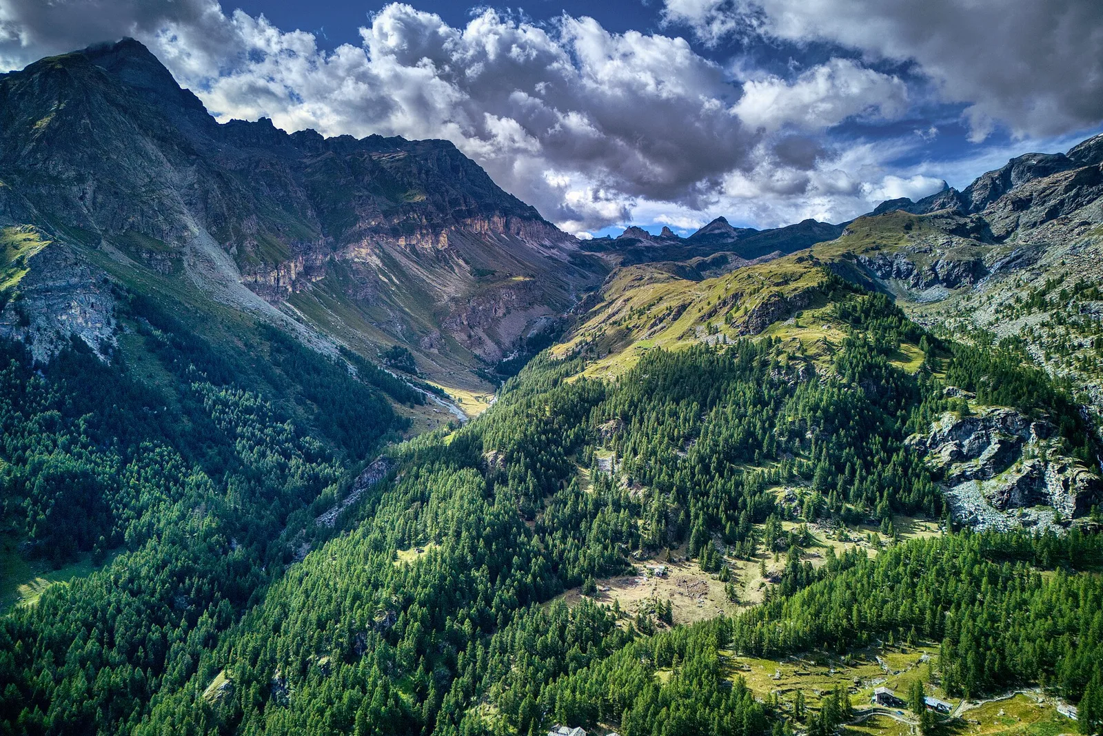
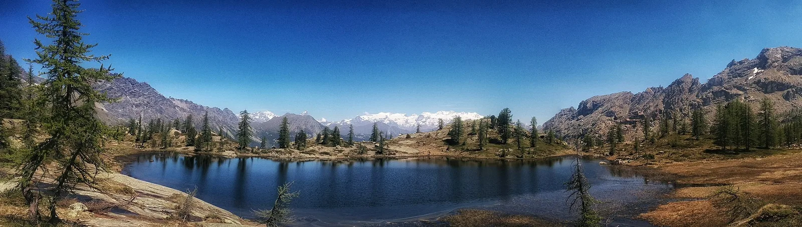
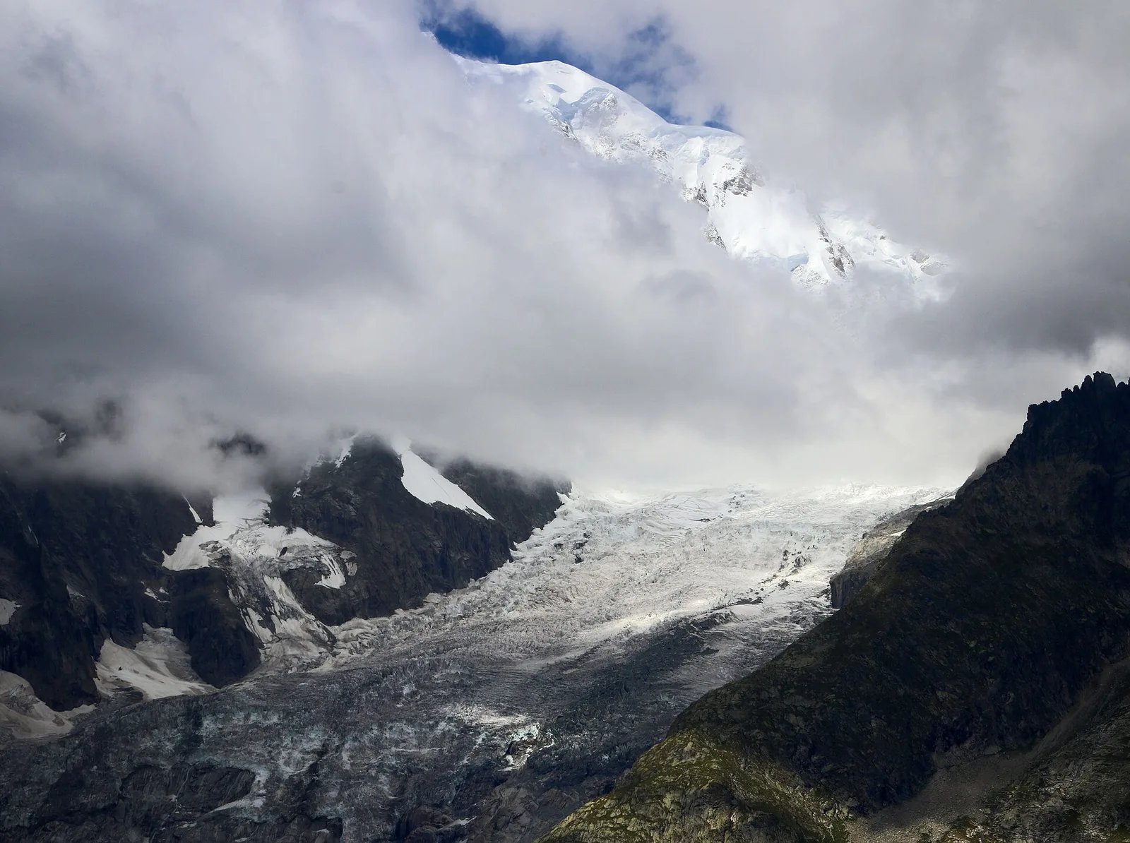
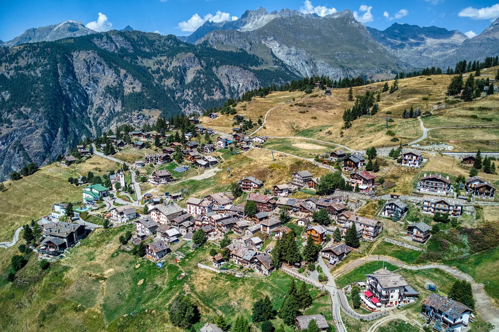
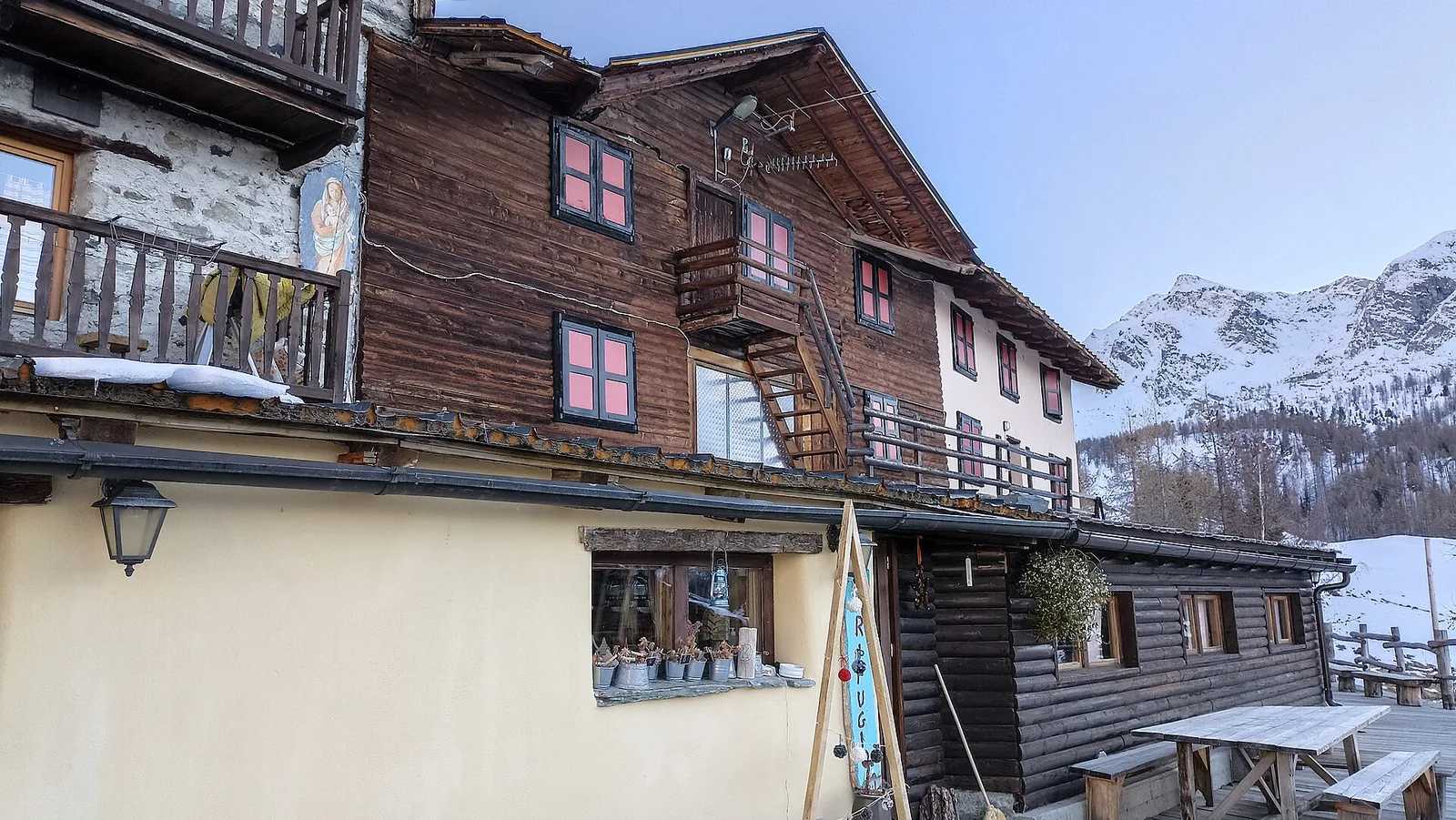
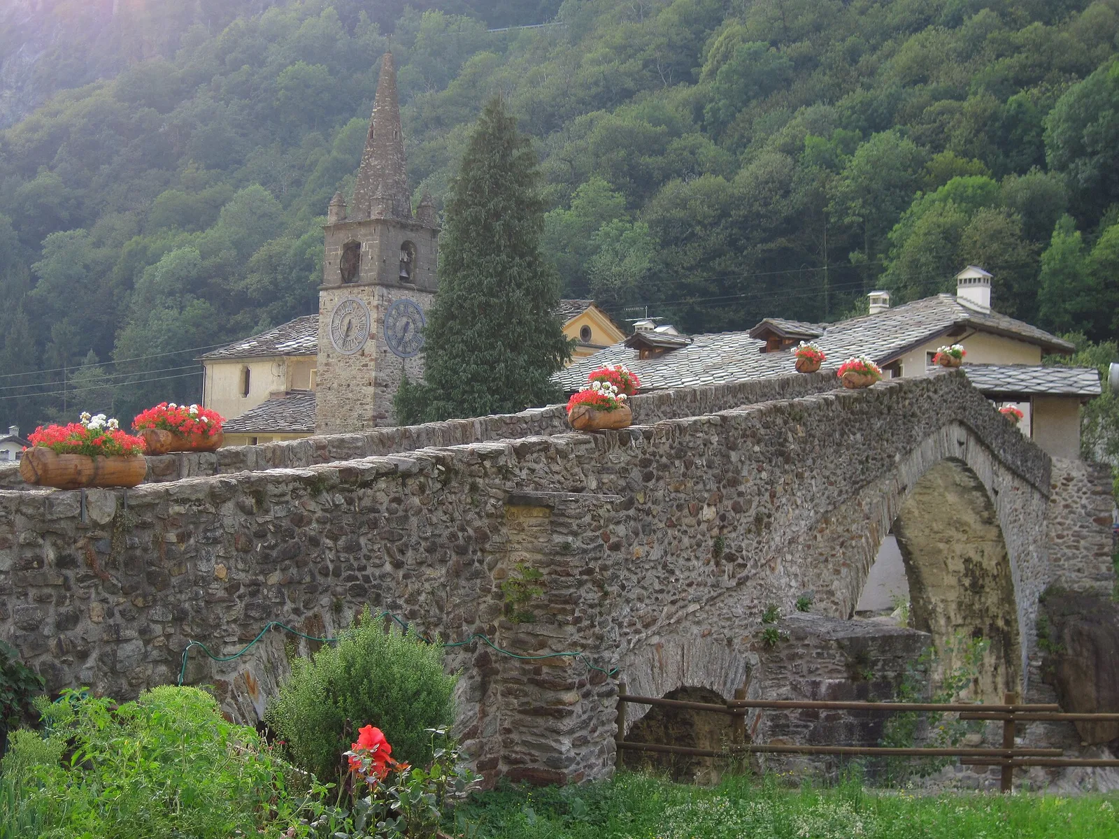
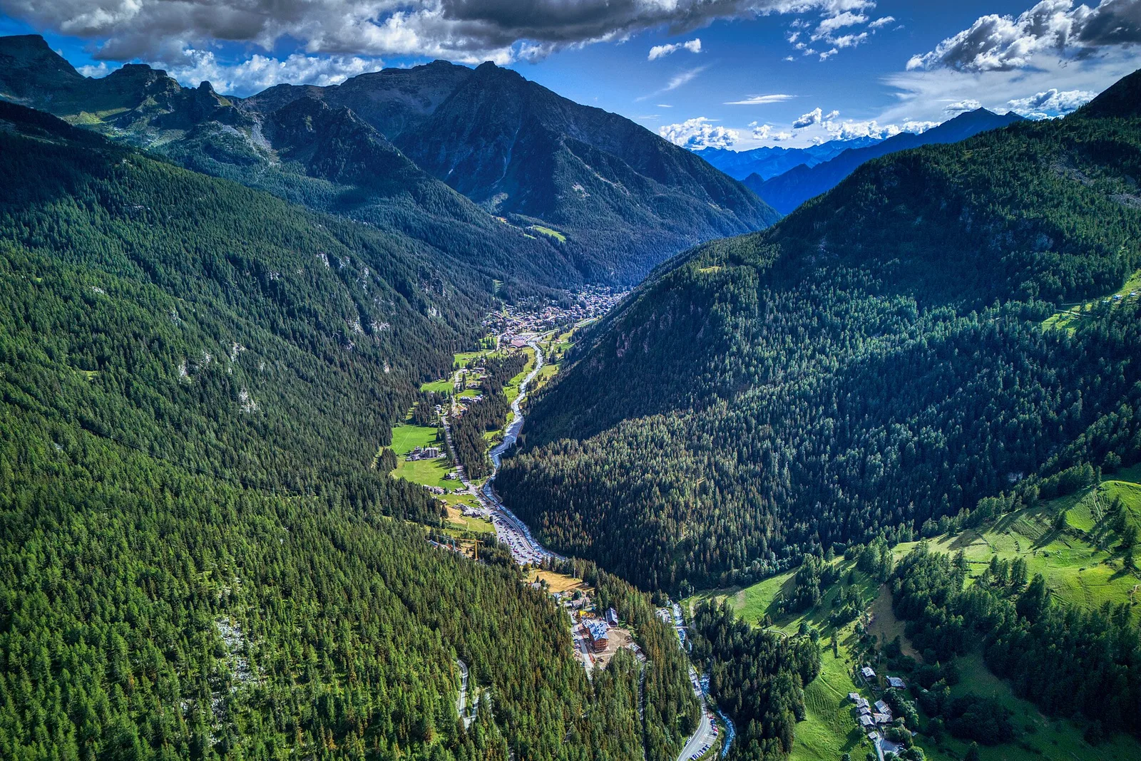
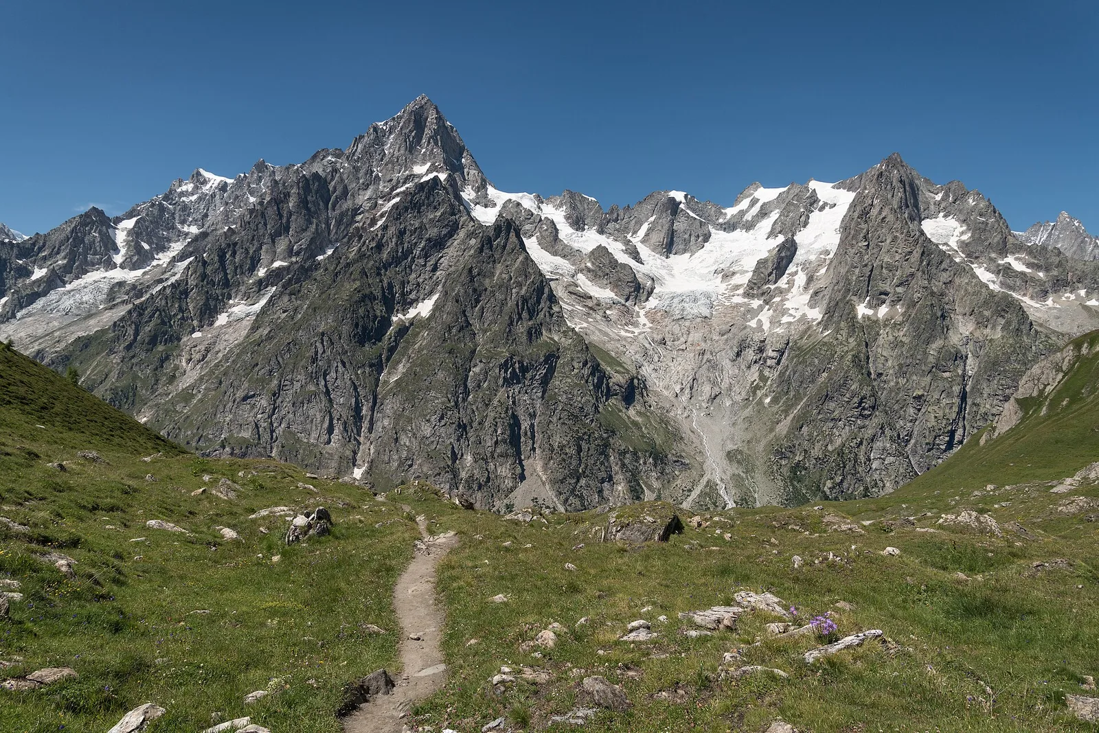
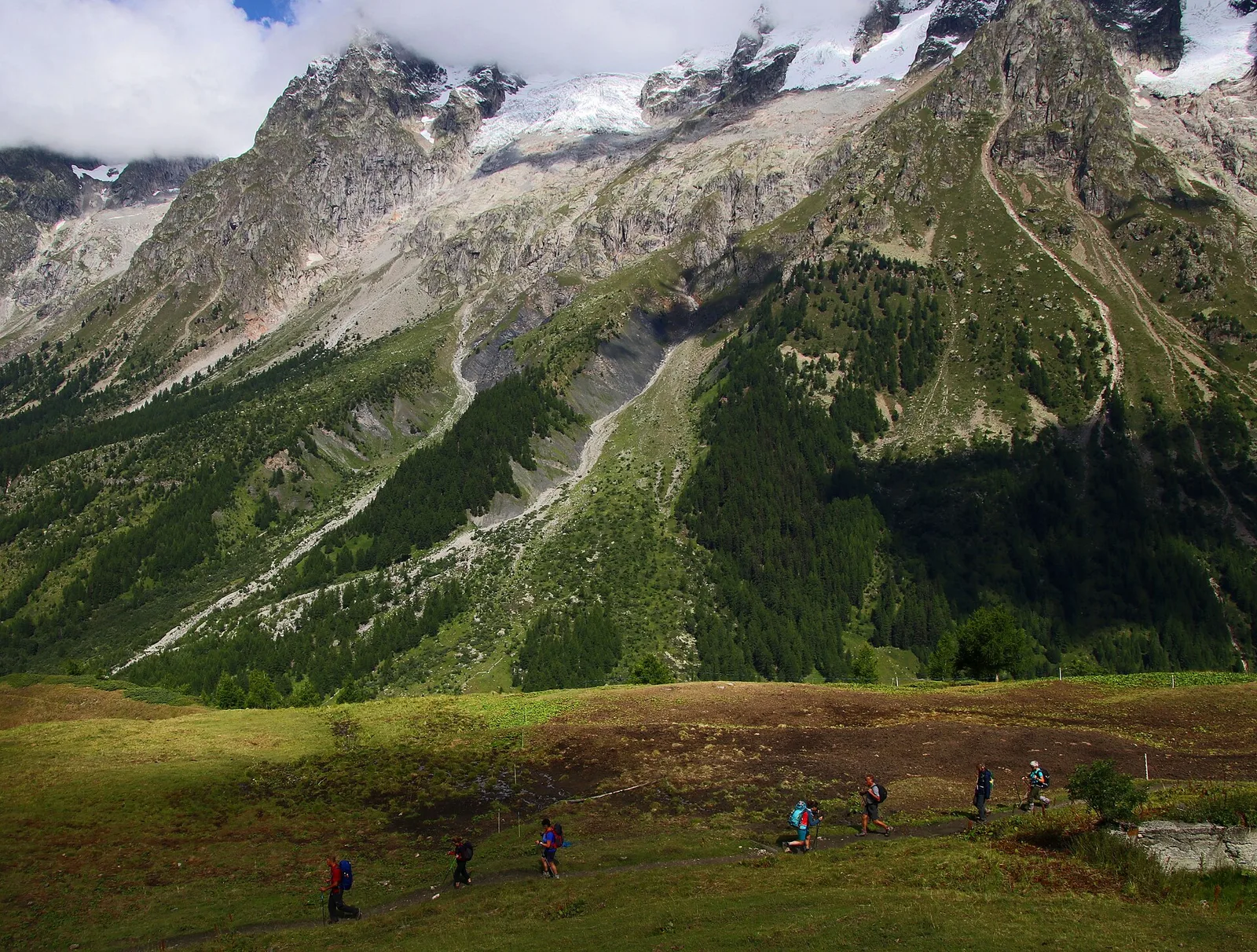
Val Ferret
Arp Nouva - Bellecombe - Colle des Angrognettes - Col du Ban Darrey
6.8 km · +929 m · EE — from Arp-Nouva to Colle des Angrognettes (Great St Bernard Valley).
6.8 km+929 m4 h
Where to spot
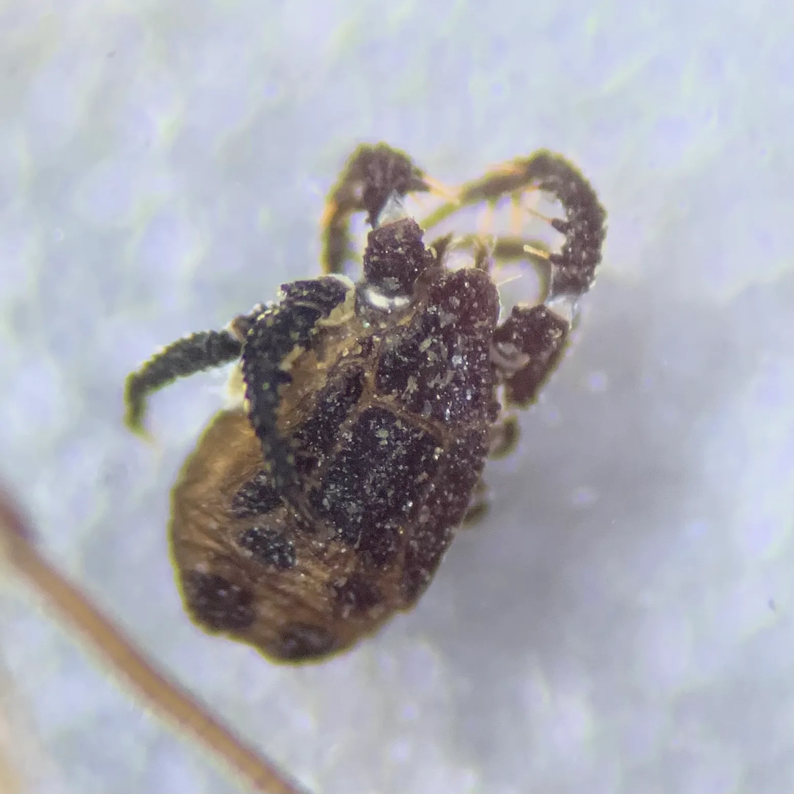
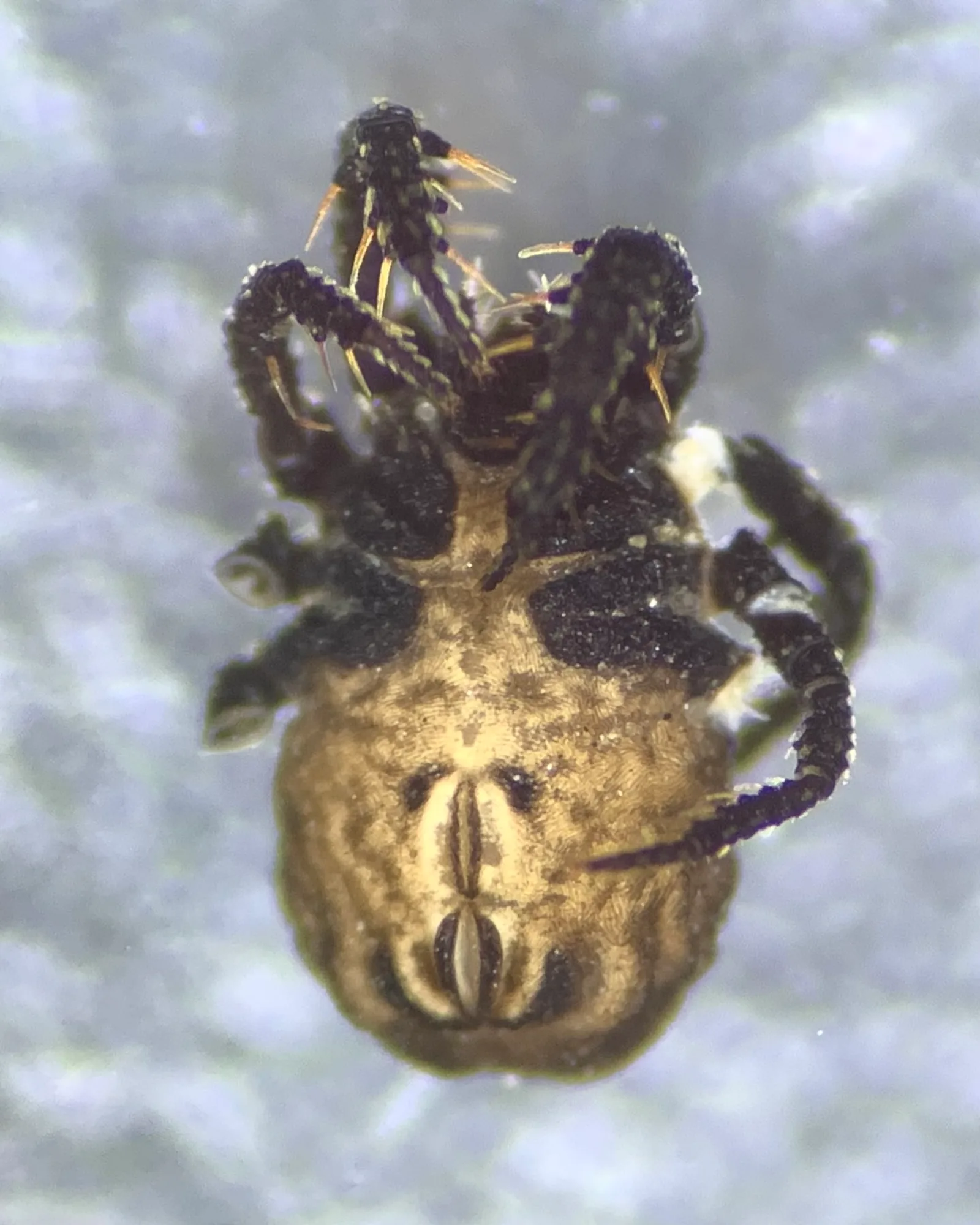
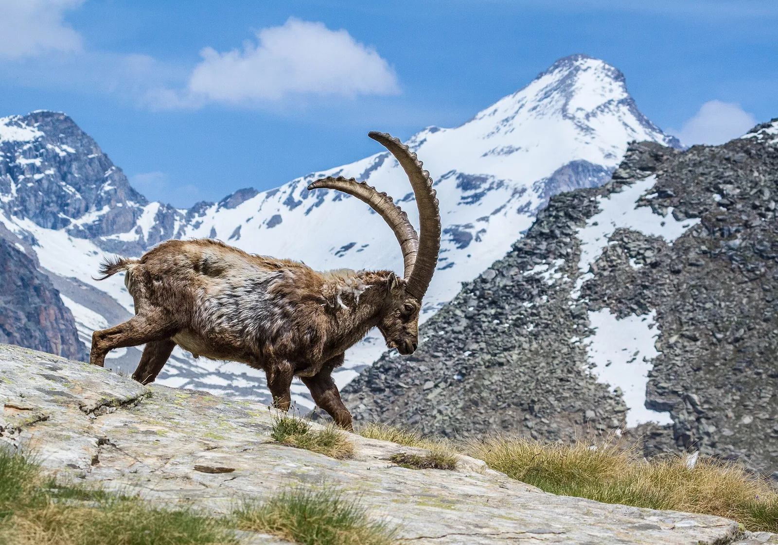
91 trails where Moss campion is listed in flora/fauna: difficulty T–EE, elevation gain 0–2547 m.
91 · 1.2–40.4 km · +0–2547 m
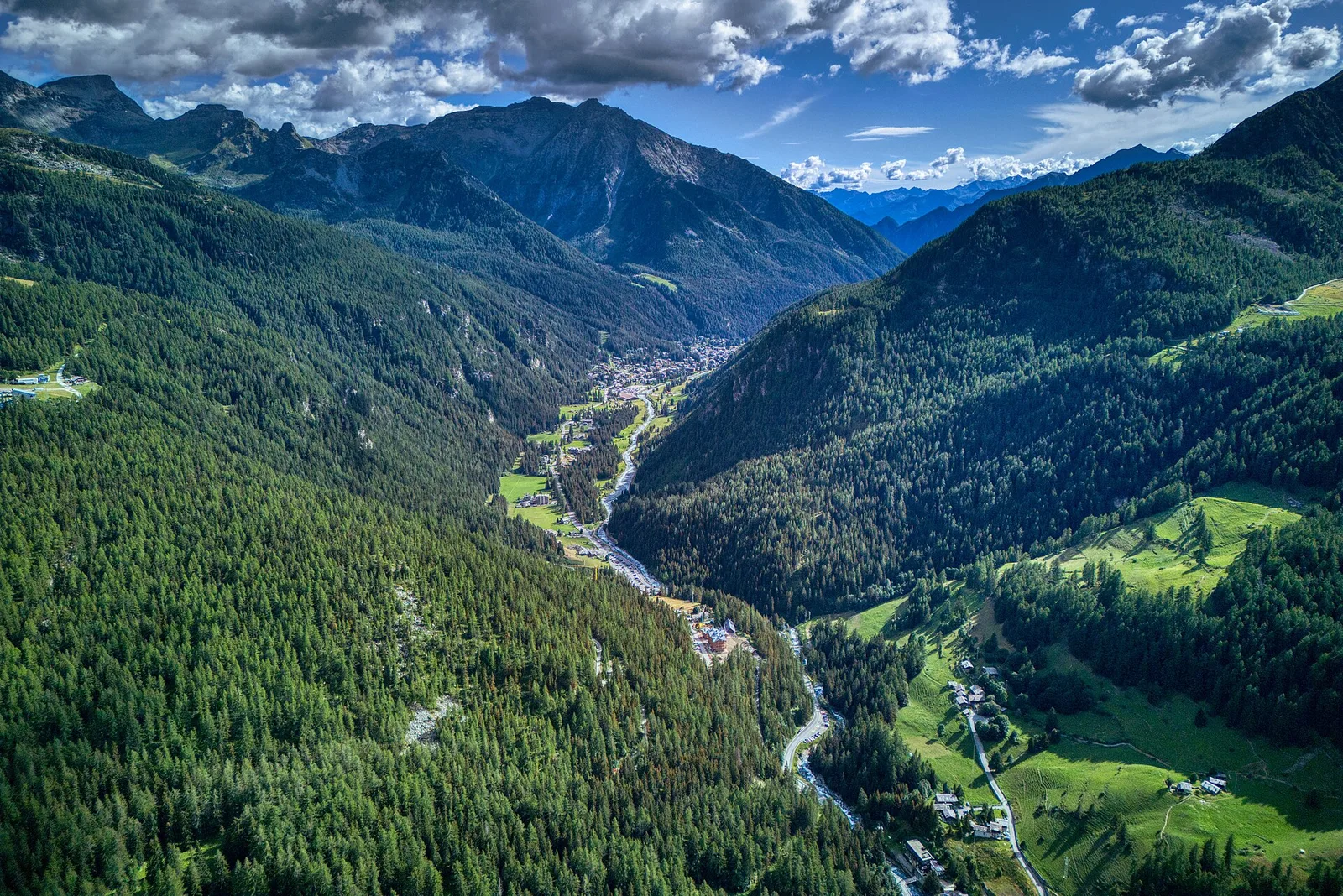
Val Ferret
6.8 km · +929 m · EE — from Arp-Nouva to Colle des Angrognettes (Great St Bernard Valley).
Val Ferret
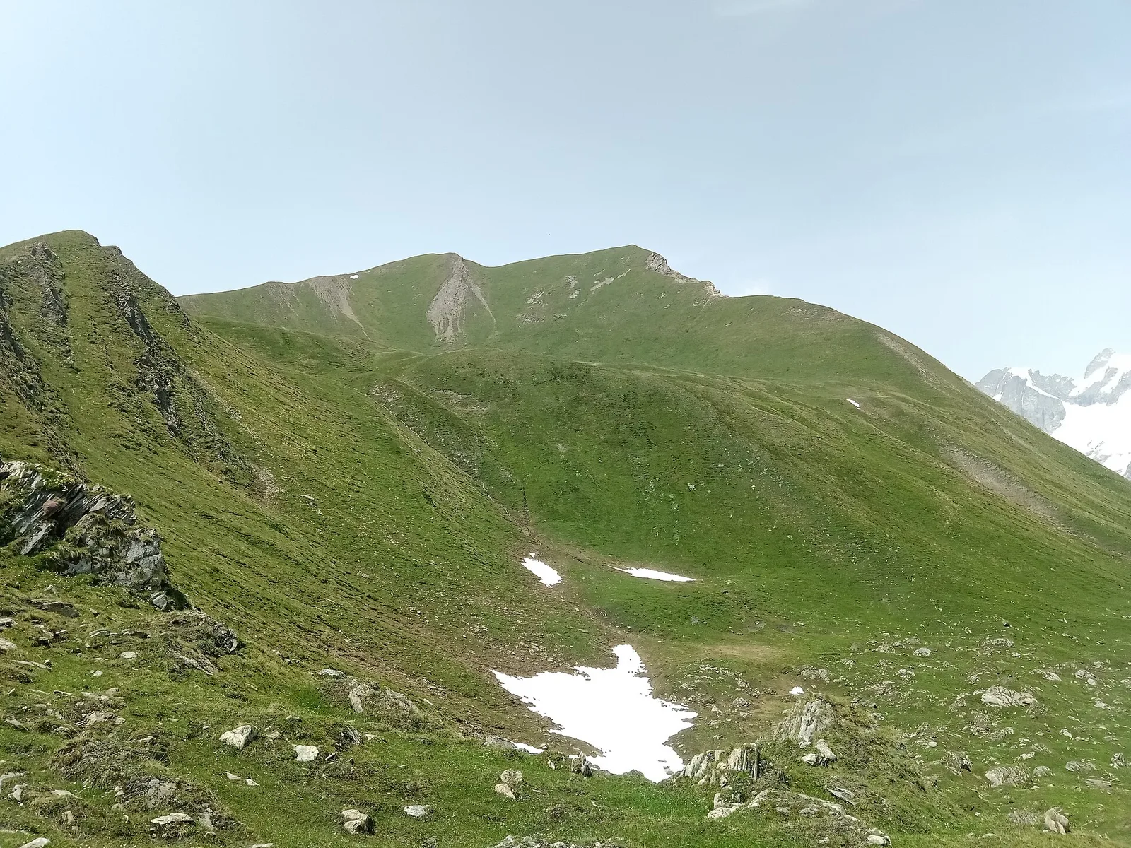
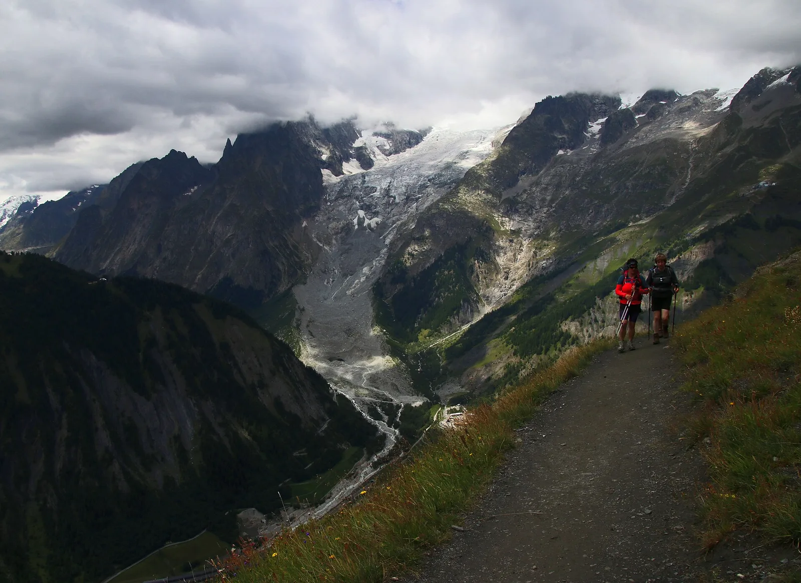
4.2 km · +814 m · EE — from Arp.Nouva to Rifugio Dalmazzi (Great St Bernard Valley).
Val Ferret
4.4 km · +768 m · E — from Arpnouva to Col du Grand Ferret (Great St Bernard Valley).
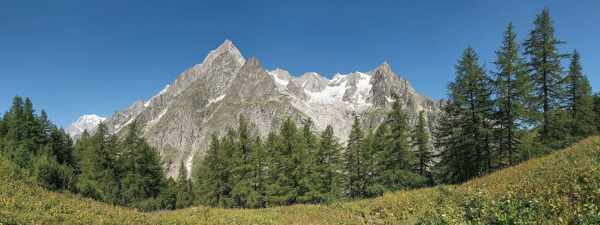
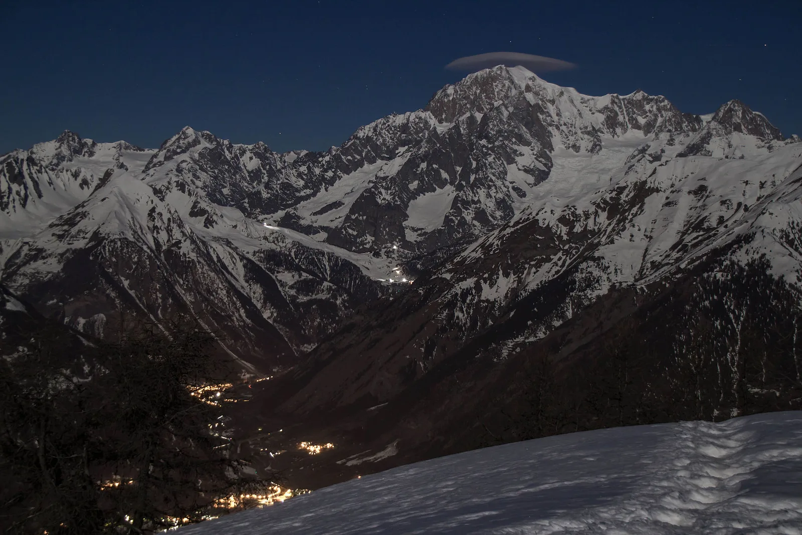
Val Veny
8.2 km · +1265 m · E — from Balme to Col d'Arp (Rhêmes Valley).
Valtournenche
2.9 km · +495 m · E — from Barmaz to Santuario Clavalité (Central Valley).

Valle centrale
A demanding climb from Grand Brissogne to Bivacco Menabreaz on a barely-visited flank of the central Aosta Valley — 1567m of gain and true solitude.
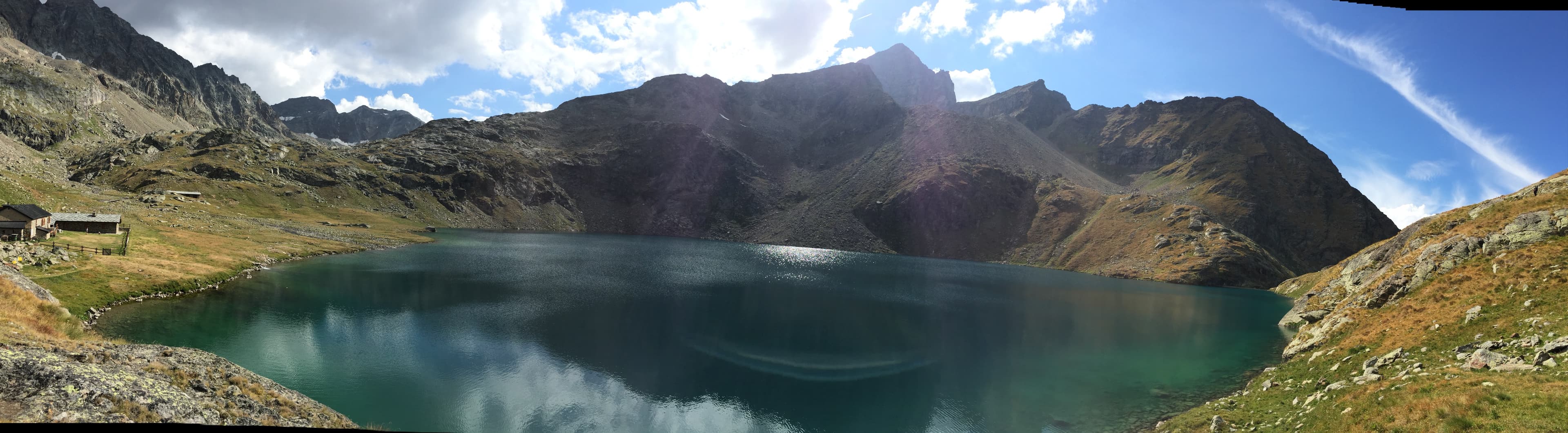
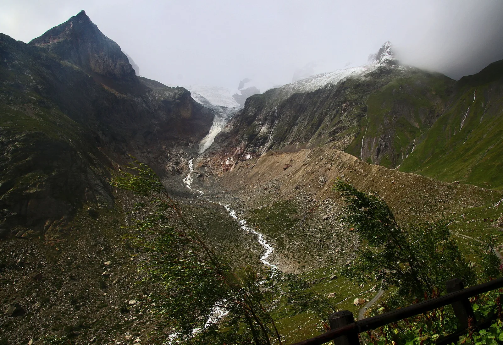
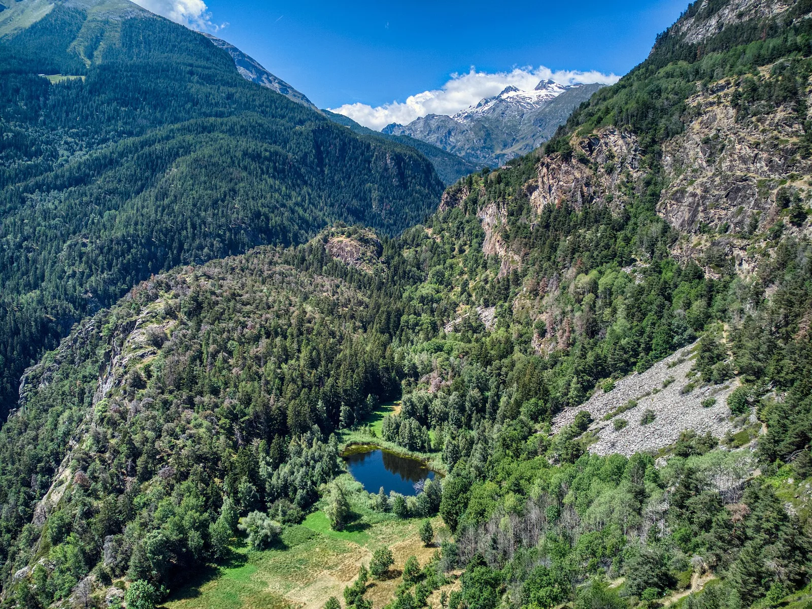
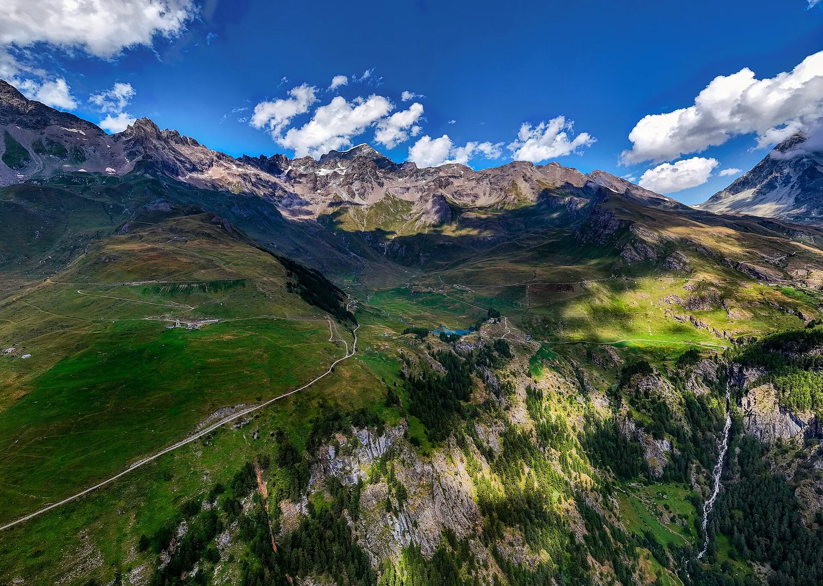
Val di Cogne
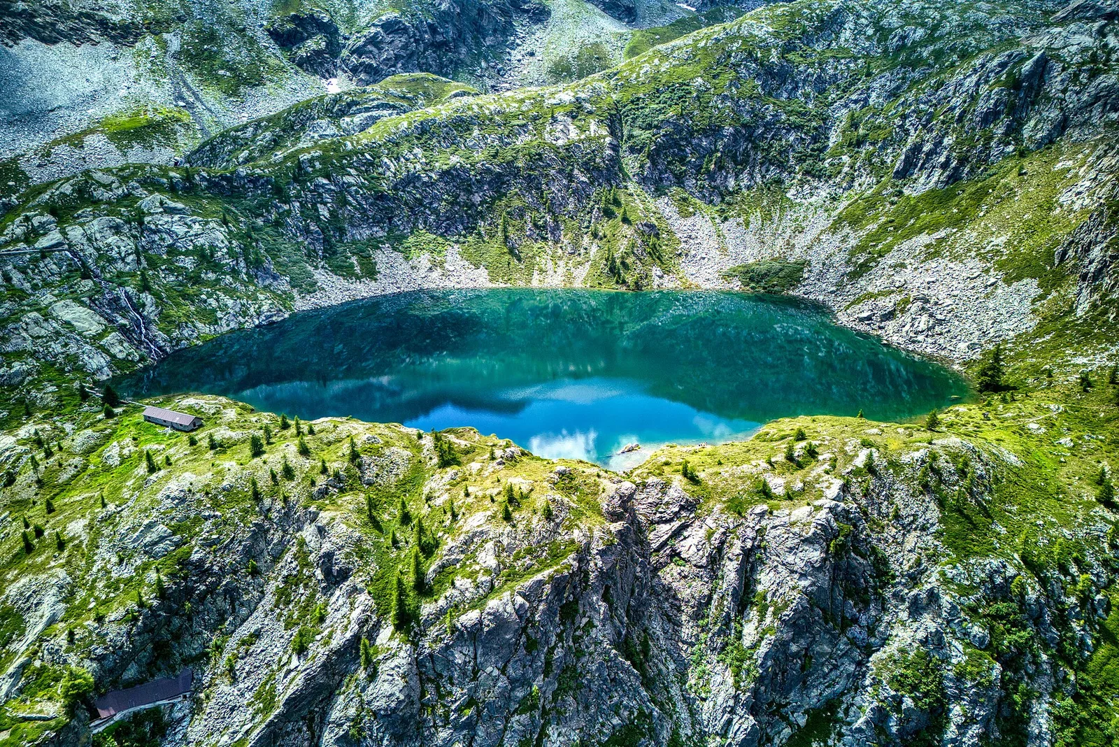
From Bivacco Menabreaz (2546 m) on the shores of Lago Les Laures, the EE route climbs to the Col d'Arbolle (3154 m), a remote pass in the Monte Emilius massif above Brissogne.
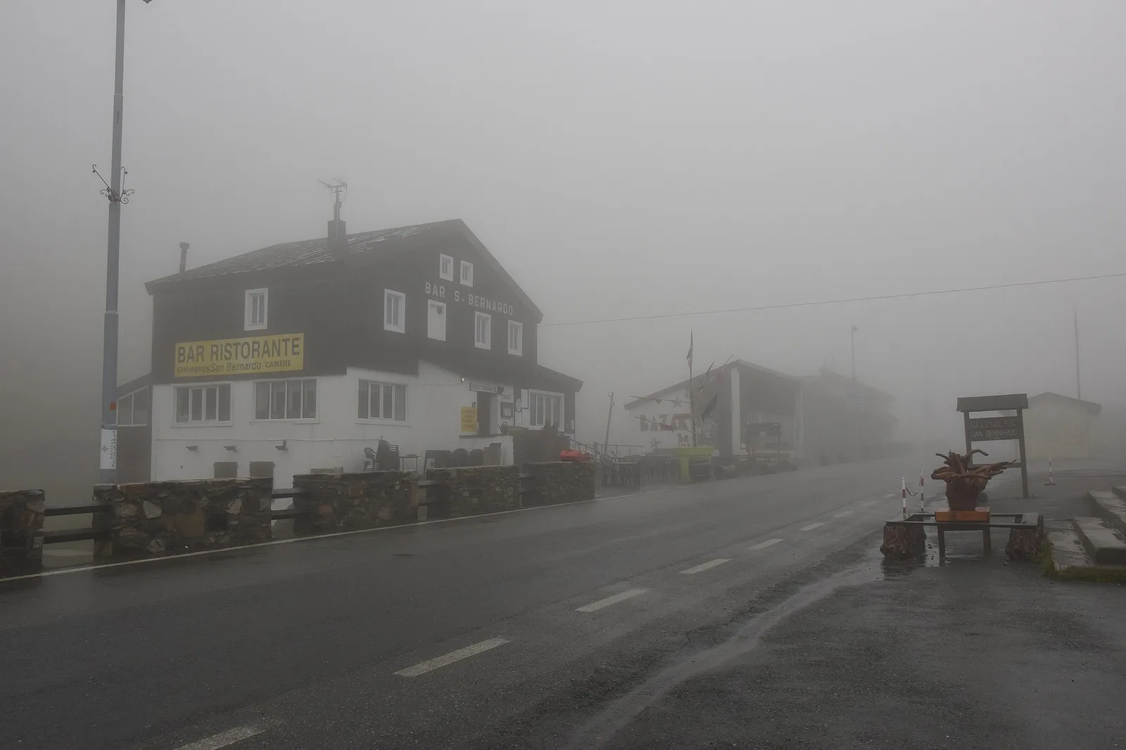
Valle del Gran San Bernardo
From Jovençan track junction (1855 m) to the glacial Lacs de Dziule (2553 m) in upper Valdigne: 5.8 km, +702 m. Open cirque scenery. E.
Valle del Gran San Bernardo
Through the Vertosan valley, the trail climbs to the Lacs de Dziule, glacial lakes at 2553 m set in a stark landscape of rock and high meadow in the Valdigne.
Valle centrale
5.4 km · +1376 m · E — from Blavy to Becca di Viou (Valtournenche).
Valtournenche
2.9 km · +499 m · E — from Breuil-Cervinia to Sentier Carrel (Central Valley).
Valle centrale
9.1 km · +949 m · E — from Challancin to Col Fetita (La Thuile).
Valtournenche
6.9 km · +960 m · E — from Chamois to Col de Nannaz (Central Valley).
Val di Cogne
2.8 km · +391 m · E — from Champlong to Montroz (Lys Valley).
Val d'Ayas
Upper Val d'Ayas: a route toward a panoramic high-altitude objective across open terrain.
Val d'Ayas
From Champoluc to Col Palasinaz (2680 m): a classic alpine pass linking Val d'Ayas and Brusson with sweeping Monte Rosa views.
Valle di Champorcher
8.8 km · +1350 m · EE — from Champorcher to Col de la Fricolla (Valtournenche).

Valpelline
From Allein toward Valpelline across the panoramic ridge between the two valleys: an E-rated route over open pastures with views of the Gran San Bernardo.
Valle di Champorcher
6.7 km · +1139 m · EE — from Chardonney to Col Laris (Valtournenche).
Valle centrale
5.4 km · +1018 m · EE — from Chardonney to Mont de Corquet (Lys Valley).
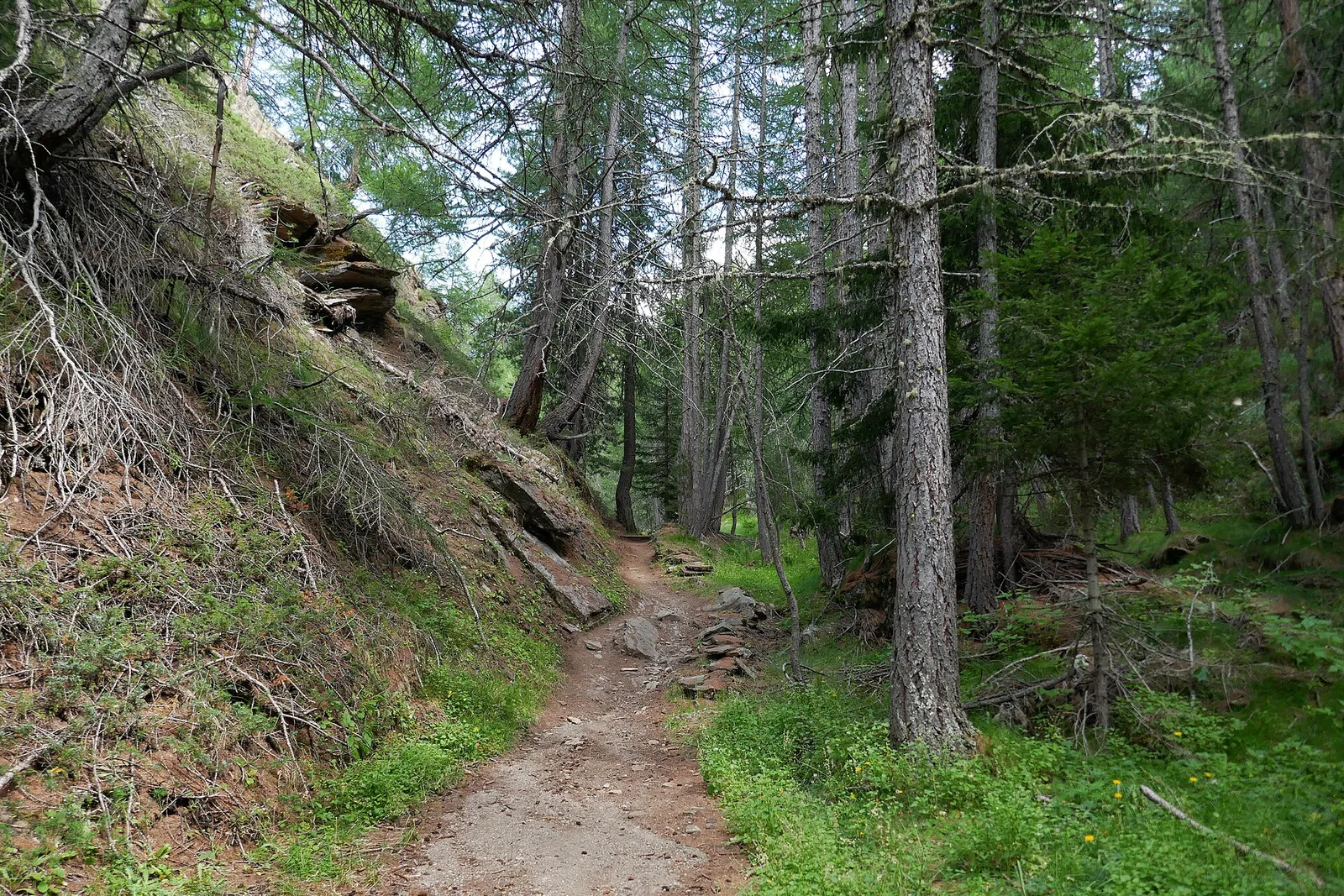
Valpelline
From Chez-Chenoux the trail quickly clears the forest belt and opens onto the Comba di Vertsan pastures, climbing to the ruins of Alpe Chardonney (2519 m) in the quiet upper Valpelline.
Val Veny
40.4 km · +2547 m · E — from Col de la Seigne to Col Grand Ferret (Great St Bernard Valley).
Valle centrale
1.2 km · +71 m · T — from Col Saint-Charles to Tête d'Arpy (Central Valley).
Valle del Lys
34.4 km · +0 m · E — from Colle del Teodulo to Col d'Olen (Central Valley).
Valle del Gran San Bernardo
26.3 km · +2016 m · E — from Colle Grand Saint Bernard to Col Grand Ferret (Central Valley).
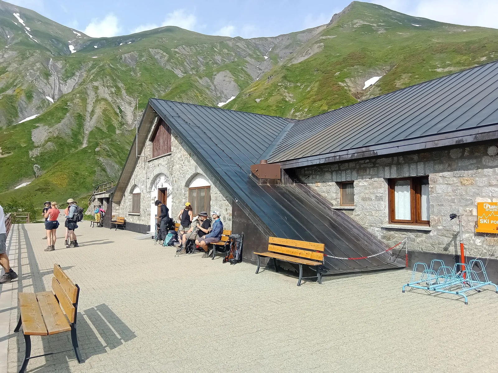
La Thuile
4.8 km · +342 m · E — from Colle Piccolo San Bernardo to Mont-Belvedere (confine di stato) (Lys Valley).
Val d'Ayas
Val d'Ayas: a climb toward a panoramic high-altitude objective over open terrain.
Valle centrale
From Costablinaz to Lac d’Arpy (trail 14), Morgex: 6.1 km, +611 m, E. A balcony lake facing Mont Blanc.
Valle di Champorcher
6.6 km · +1584 m · E — from Crest-Dèsot to Col de la Fricolla (Champorcher Valley).
Valle centrale
12.3 km · +1264 m · EE — from Druges to Bivacco Menabreaz (Great St Bernard Valley).
Valle di Champorcher
2.9 km · +832 m · EE — from Dublanc to Tete du Mont (Valtournenche).
Val di Cogne
5.7 km · +1085 m · E — from Epinel to Col du Drinc (Lys Valley).
Val di Cogne
5.4 km · +973 m · E — from Ermitage de Saint-Grat to Rifugio Arbolle (Cogne Valley).
Valpelline
8.6 km · +1369 m · EE — from Etirol to Col de Fort (Valpelline).
La Thuile
9.6 km · +1181 m · E — from Faubourg to Col d'Arp (Lys Valley).
Valpelline
A solitary climb to Bivacco Chentre Bionaz deep in the wild upper Valpelline — nearly 1000m of gain among abandoned pastures and border glaciers.
Val di Cogne
From Gimillan to Lac Money (trail 8C), Cogne: 5.8 km, +813 m, E. A lonely lake below Punta Money.
Val d'Ayas
6.7 km · +1050 m · EE — from Gressoney-la-Trinité to Passo del Rothorn (Salerfòrkò) (Lys Valley).
Valle del Lys
6.4 km · +1576 m · E — from Kunju to Col Chasten Sud (Ayas Valley).
Val Ferret
6 km · +829 m · E — from La Remisa to Pas-Entre-Deux-Sauts (Great St Bernard Valley).
Val Ferret
5 km · +829 m · E — from La Vachey to Col Entre Deux-Sauts (Great St Bernard Valley).
Val di Cogne
2 km · +486 m · E — from Lac de Chamolé to Rifugio Arbolle (Cogne Valley).
Valle di Champorcher
7.4 km · +929 m · E — from Strada Dondena to Gran lago (Valtournenche).
Valle centrale
In the Valgrisenche, Arvier: a significant E-rated climb through forest toward upper pastures.
Val di Cogne
10.8 km · +917 m · E — from Lillaz to Rifugio Sogno di Berdzé (AV 2) (Lys Valley).
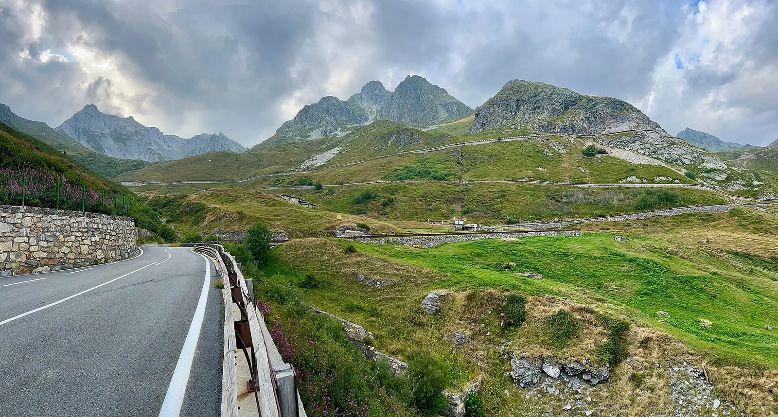
Valle del Gran San Bernardo
2.7 km · +581 m · E — from Località Pra d'Arc to Colle di Saint-Rhémy (Central Valley).
Val Ferret
9 km · +998 m · E — from Mayencet to Tête de Bernarde (Great St Bernard Valley).
Valtournenche
6.2 km · +910 m · E — from Châté to Mont Méabé (Valpelline).
Valle del Gran San Bernardo
7.1 km · +1179 m · E — from Morges, bivio strada per Planaval to Col Fetita (La Thuile).
Valle del Lys
3.9 km · +952 m · EE — from Niel to Punta dei Tre Vescovi (Great St Bernard Valley).
Valtournenche
2.7 km · +663 m · E — from Nuarsaz to Corgnolaz (Valtournenche).
Valpelline
5.1 km · +1127 m · E — from Capoluogo to Col Brison (Valpelline).
Valle del Lys
4.3 km · +840 m · E — from Ondro Verdebio to Bronne (Champorcher Valley).

Valle di Champorcher
7.3 km · +1319 m · E — from Outre l'Eve to Col de la Fricolla (Valtournenche).
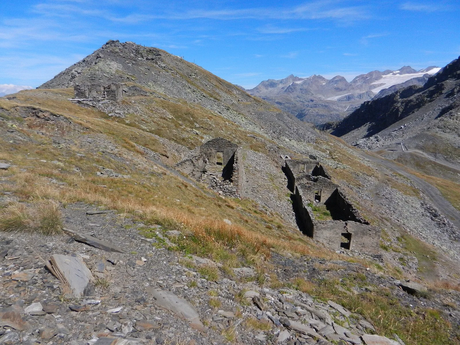
Val Ferret
2.3 km · +378 m · EE — from Pavillon to Morena Thoula (Great St Bernard Valley).
Valle di Champorcher
1.4 km · +381 m · EE — from Petit-Rosier to Col de Poussauel (Valtournenche).
Valpelline
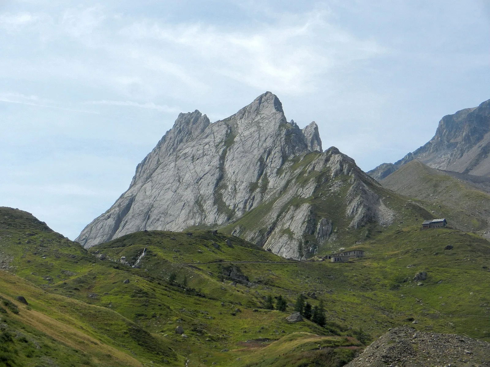
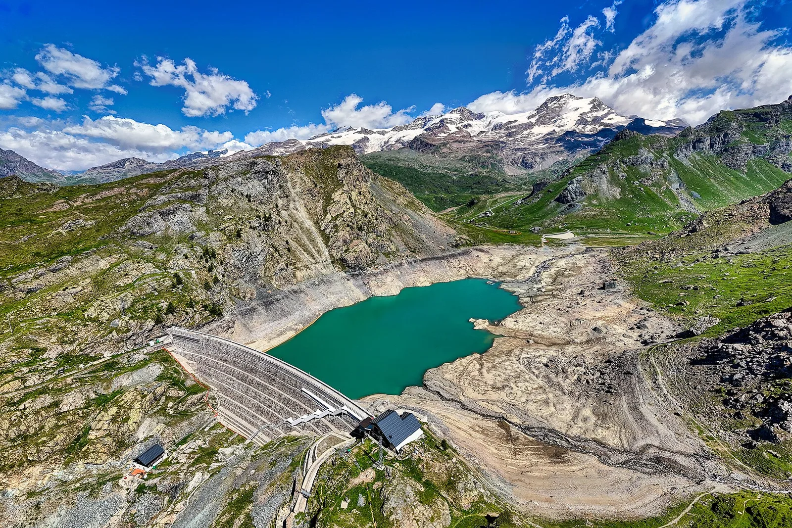
A long route at the head of Valpelline: from the Place Moulin dam to the Col di Livournea at 2,850 metres, among water, pastures and high mountains.
Valtournenche
4.2 km · +720 m · E — from Plan de la Glaea to Illiaz - Perron (Central Valley).

Valle del Gran San Bernardo
6.4 km · +850 m · E — from Planaval to Col Fetita (La Thuile).
Valle centrale
4.7 km · +780 m · E — from Planaval to Col Serena (Fenêtre de Sereina) (La Thuile).
Valsavarenche
6.3 km · +873 m · E — from Pont to Col du Grand- Collet (Ayas Valley).
Valtournenche
9.1 km · +1246 m · EE — from Promiod to Mont Tantané (Valdigne).
Valtournenche
6.6 km · +1143 m · E — from Promiod to Zerbion (Valdigne).

Valle del Lys
EE route from Quinçod (1030 m) to Colle Chasten (2549 m): 1708 m gain from the valley floor. Experienced hikers only, early start mandatory.
Valle del Lys
From Quinçod (1030m) to Colle Chasten (2549m) via Merendiou: 8.6 km EE with 1708 m of ascent, crossing all altitude bands of the Val d'Ayas.
Val d'Ayas
A short but steep climb from Résy to the small Résy lakes, on the high balcony of Val d'Ayas facing Monte Rosa.
Val d'Ayas
2.1 km · +96 m · E — from Résy to Plan de Véraz (Central Valley).
Val Ferret
1.7 km · +491 m · E — from Rif Elena to Col Petit Ferret (Great St Bernard Valley).
Val Veny
3.4 km · +364 m · E — from Rifugio Elisabetta to Col de la Seigne (Great St Bernard Valley).
Valle del Lys
5.5 km · +259 m · E — from Rifugio Gabiet to Bivacco Gastaldi (Lys Valley).
Valpelline
2.4 km · +348 m · E — from Rifugio Prarayer to Alpe Braulé (Valpelline).
Valle del Gran San Bernardo
4.2 km · +823 m · E — from Capoluogo to Alpe Riond (Valtournenche).
Valle del Gran San Bernardo
4.7 km · +889 m · E — from Rosière to Colle Serena (Central Valley).
Valle del Lys
4.2 km · +802 m · EE — from Sainte-Marguerite to Col Giassit (Central Valley).
Valle centrale
6.6 km · +1413 m · EE — from Servettaz to Col de Bellalanaz (Lys Valley).
La Thuile
5.9 km · +405 m · E — from Souches to Mont-Belvedere (Lys Valley).
Valtournenche
2.7 km · +711 m · E — from Strada Comunale per Chantorné to Antecima Mont Méabé (Valpelline).
Valle del Lys
2.8 km · +590 m · E — from Start S2 (strada per Tschalvrino) to Weissmatten (Champorcher Valley).
La Thuile
5.4 km · +474 m · E — from Str Picc S-Bernardo (parch.Lac Verney) to Lacs de la Pointe Rousse (Lys Valley).
Valgrisenche
6.3 km · +1091 m · E — from Surrier, bivio poderali to Bivacco Ravelli (Valtournenche).
Valle del Lys
15.6 km · +0 m · E — from Rifugio della Barma to Niel (Lys Valley).
Val d'Ayas
11.4 km · +1165 m · E — from Crest to Rifugio Grand Tournalin (Central Valley).
Val d'Ayas
9.1 km · +0 m · E — from Rifugio Grand Tournalin to Capoluogo (Central Valley).
Valle di Champorcher
7.5 km · +0 m · E — from Rifugio Sogno di Berzé to Rifugio Dondena (Lys Valley).
Val Ferret
10.4 km · +982 m · E — from Capoluogo to Rifugio Frassati (Central Valley).
Val Ferret
7.6 km · +0 m · E — from Rifugio Frassati to Rifugio Bonatti (Central Valley).
Val di Cogne
5.6 km · +447 m · E — from Rifugio Chabod to Rifugio Vittorio Emanuele II (Ayas Valley).
Valle di Champorcher
9 km · +1861 m · EE — from Veulla to Grand Lac (Central Valley).
Valle di Champorcher
11.1 km · +1272 m · E — from Veulla to Gran lago (Central Valley).
Valle centrale
6.9 km · +1231 m · E — from Villair to Tête de la Tronche (Great St Bernard Valley).
Valle centrale
6.8 km · +1219 m · E — from Villair to Tête de Bernarde (Great St Bernard Valley).