Quinçod - Merendiou - Colle Chasten
Advertencias
- EE: very high elevation gain, early start mandatory. Carry sufficient water.
8.6 km
+1708 m
−0 m
6.5 h
Nivel físico
Mapa y ruta
Traza GPX — verifica sobre el terreno antes de caminar
Descripción
Puntos clave
Salida
Quinçod · 1030 m
Llegada
Colle Chasten · 2549 m
Sendero
S7
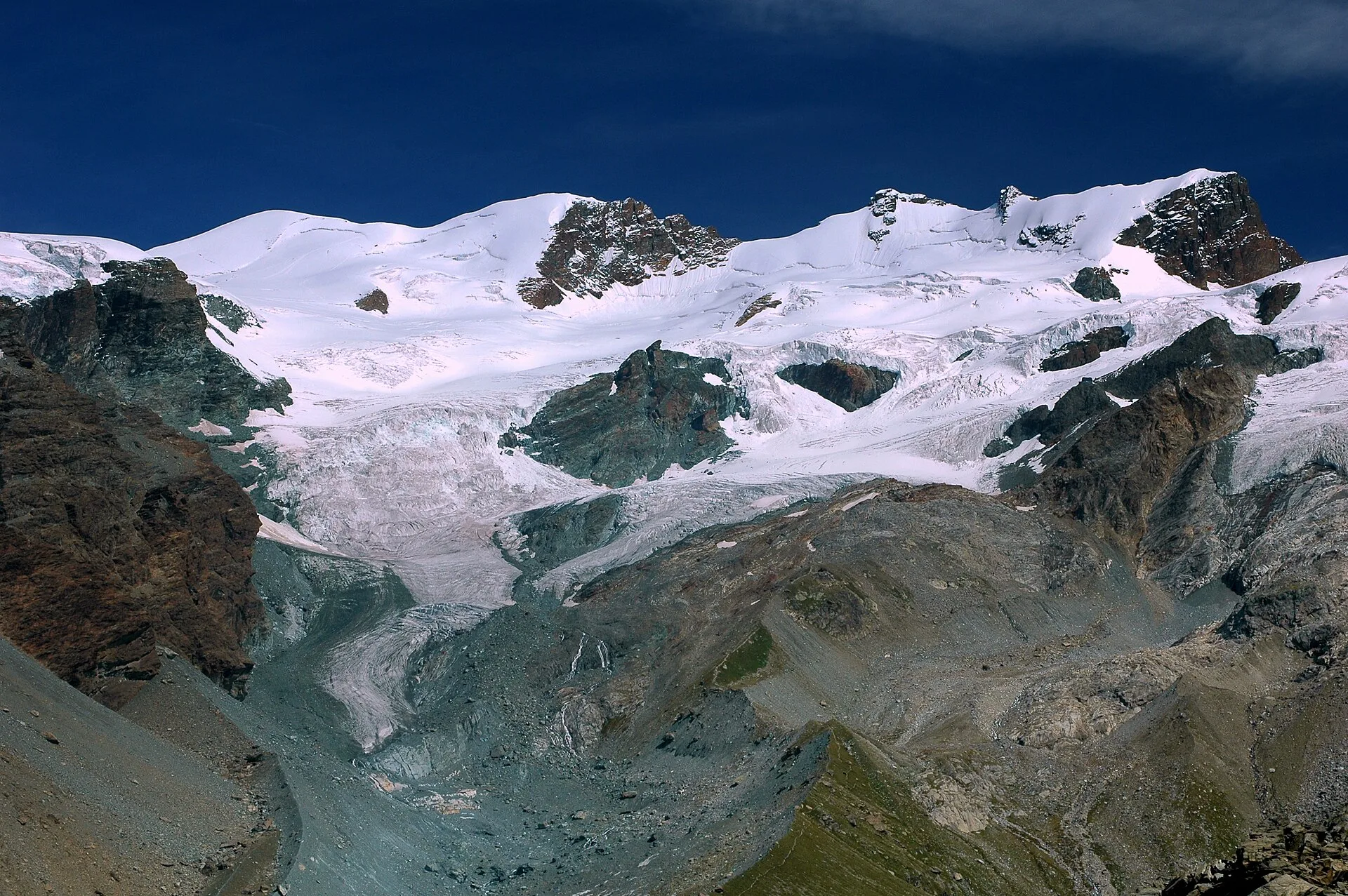
From Quinçod (1030 m), a hamlet in the Brusson valley floor, the trail climbs toward Merendiou and then to Colle Chasten (2549 m), gaining 1708 m over 8.6 km — one of the longest and most demanding ascents in the Brusson sector. The route crosses the different altitude bands of the Val d'Ayas: mixed forest in the lower section, pastures and larch forest in the middle band, open grassland and rock toward the ridge. The EE rating reflects the accumulated elevation gain and irregular terrain in the upper sections. Season: June–September; early start required.
Aparcamiento
Galería de fotos
Photos are published immediately. JPG/PNG/WebP, max 6 MB.
Flora del sendero
Fauna que observar
AEditado y verificado por Andrea Rama
Fuente de datos: Catasto Sentieri Regione Autonoma VdA · Open data — DGR 899/2014
Última verificación:
Valle del Lys
Senderos relacionados
Mismo valle o rutas similares — más excursiones por descubrir.

Valle del Lys
Anello dei Gemelli della Mologna
8.9 km · +996 m · EEA — from Niel to Niel (Great St Bernard Valley).

Valle del Lys
Balmeto - Leck Albezò
1.2 km · +287 m · E — from Balmeto to Leck Albezò (Champorcher Valley).

Valle del Lys
Bino - Passo di Valnera
4.5 km · +1280 m · E — from Bino to Alpe Jatza (Champorcher Valley).

Valle del Lys
Cascate di Niel
0.6 km · +80 m · E — from Start 7B to Cascate di Niel (Great St Bernard Valley).