
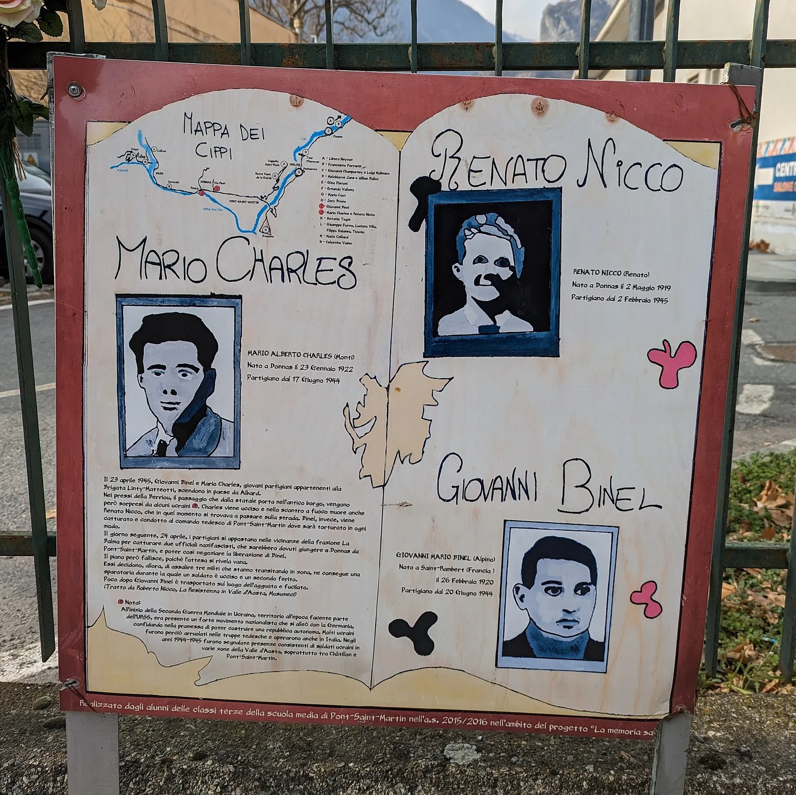
E
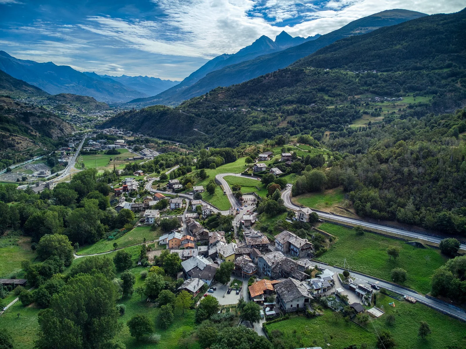
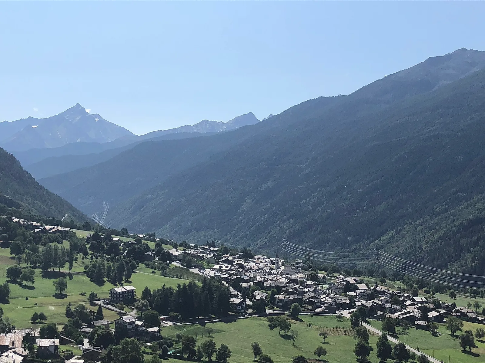
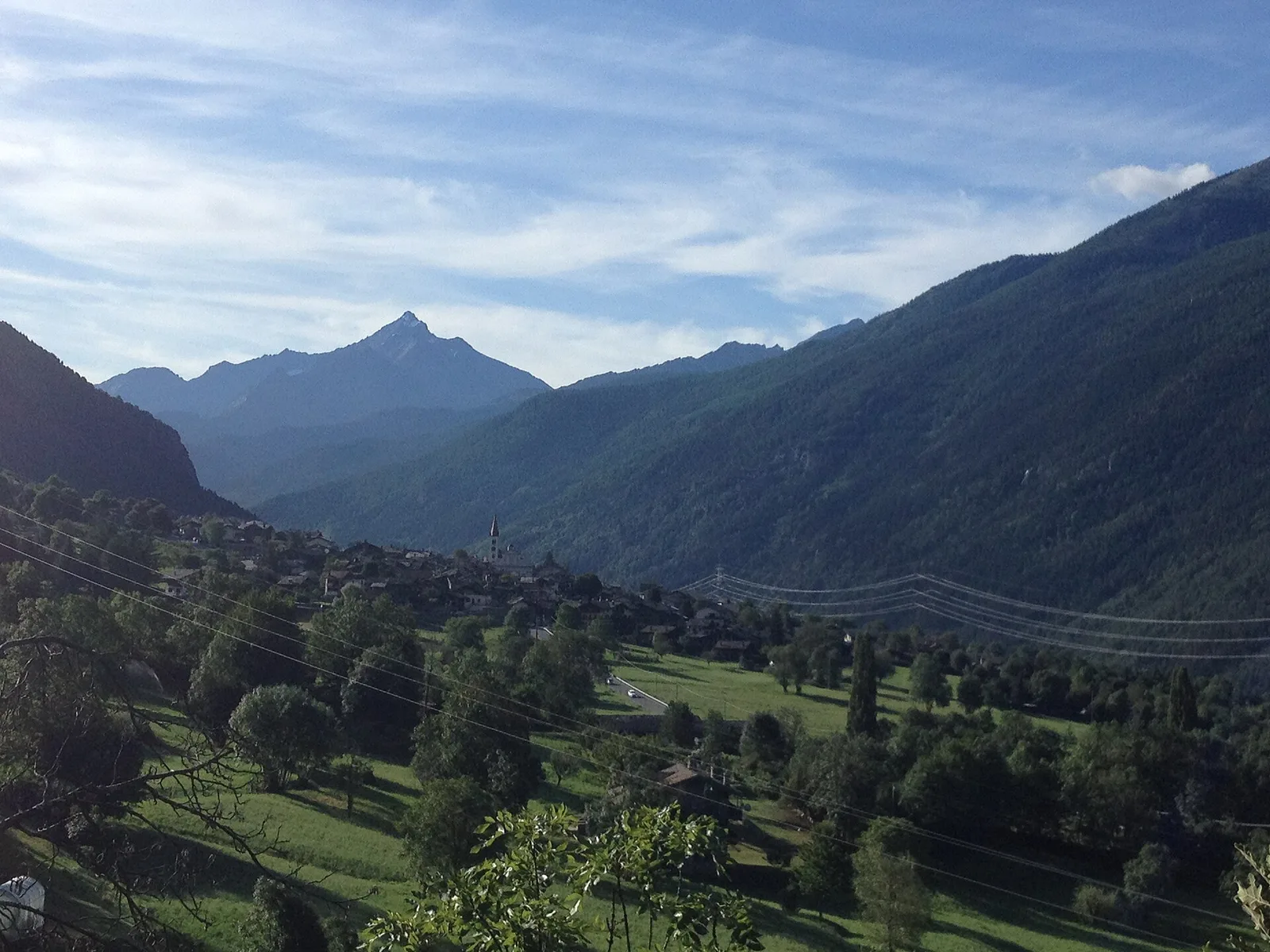
Valle centrale
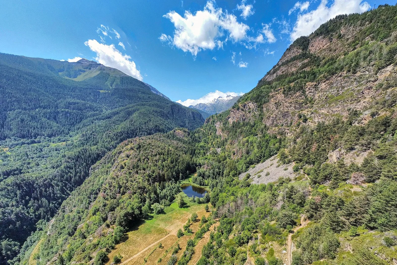
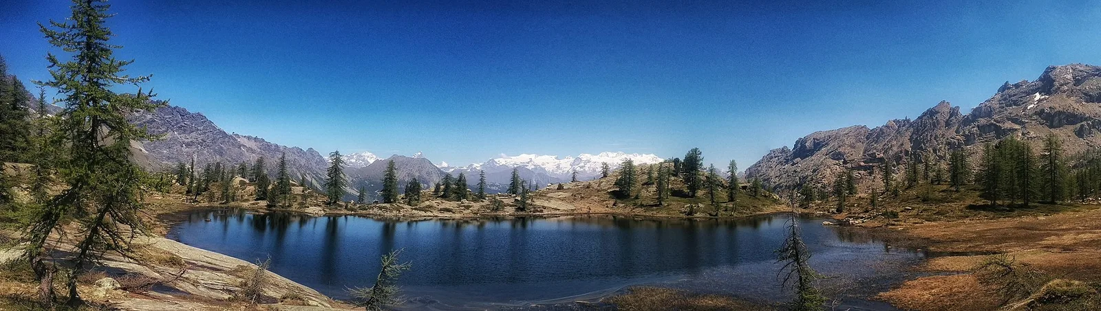
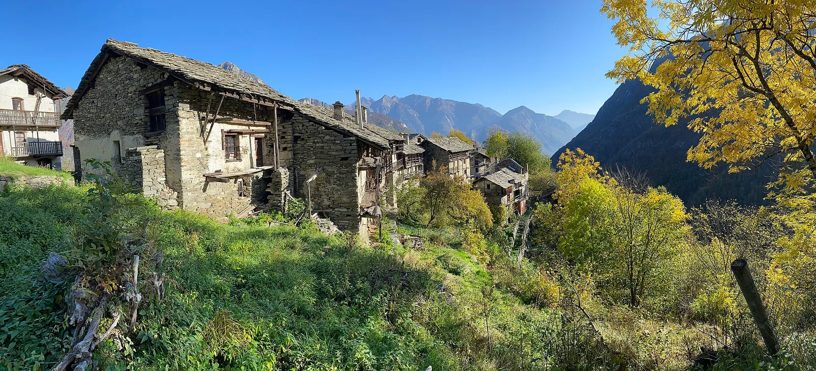
Anello del Verrand
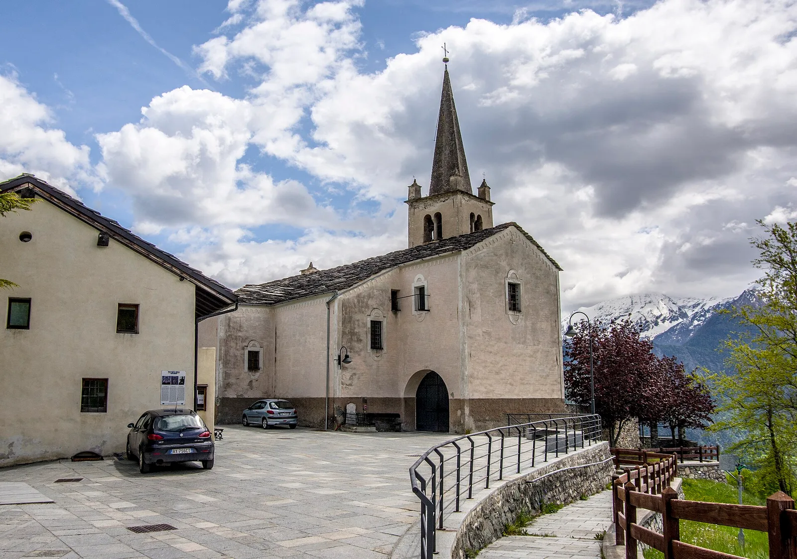
2.6 km · +233 m · E — from Château Verrand to Château Verrand (Rhêmes Valley).
2.6 km+233 m1 h
Where to spot
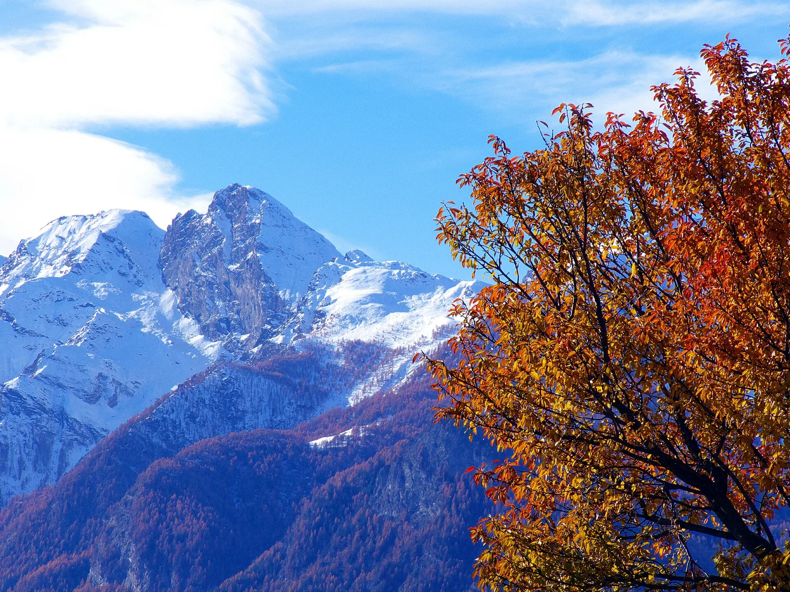
93 trails where Aspen is listed in flora/fauna: difficulty T–EEA, elevation gain 0–2062 m.
93 · 0.2–15.7 km · +0–2062 m
Valle centrale
2.6 km · +233 m · E — from Château Verrand to Château Verrand (Rhêmes Valley).
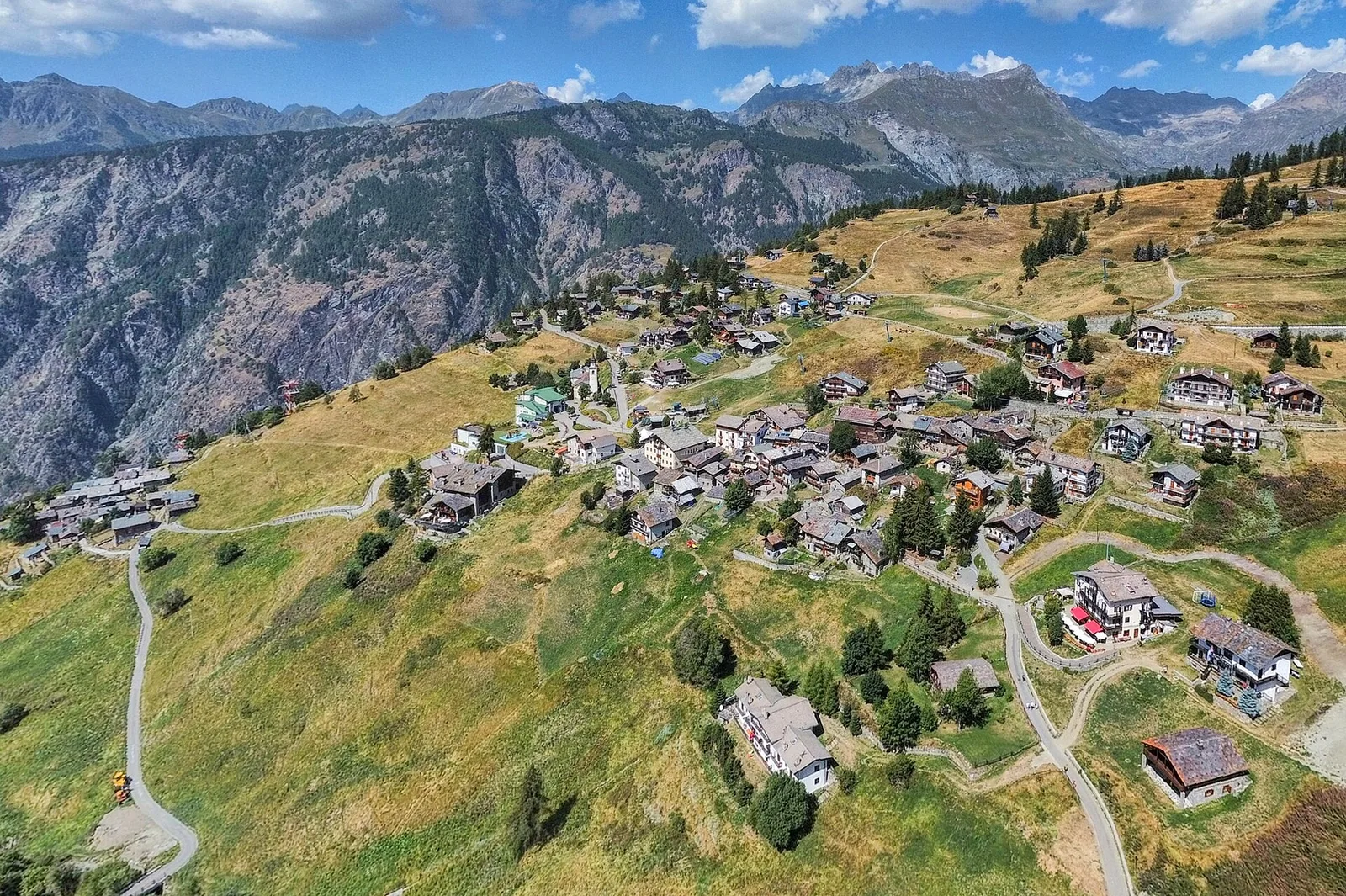
Val d'Ayas
An easy T-rated stroll from Arcésaz to Brusson along irrigation canals and mid-slope paths in the Val d'Ayas: 3.6 km, no difficulty, suitable for families and all levels.

Valle centrale
4.1 km · +476 m · E — from Area giochi Croux to Parleyaz (Central Valley).
Val Ferret
4.9 km · +961 m · E — from Arp.Nouva to Bivacco Florio (Refuge du Dolent) (Great St Bernard Valley).
Valle centrale
2.6 km · +491 m · E — from Avise to Charbonnière (Valdigne).
Valle centrale
In the Valdigne, La Salle: an E-rated route through forest and pasture with views of Mont Blanc.
Valle centrale
From Avise to Cerellaz via Ravoire on the sunny Valdigne hillside: 3 km and 479 m through vineyards, woodland and meadows. Part of the Via Alpina.
Valle centrale
2.8 km · +431 m · E — from Avise to St-Nicolas (Valdigne).
Valle centrale
2.5 km · +390 m · E — from Bachaud to Rumiod la Chapelle (Remiod) (Central Valley).
Val d'Ayas
In the Val d'Ayas, Ayas: an E-rated climb toward a pass or panoramic objective.
Valle del Gran San Bernardo
From Jovençan track junction (1855 m) to the glacial Lacs de Dziule (2553 m) in upper Valdigne: 5.8 km, +702 m. Open cirque scenery. E.
Valtournenche
From Blanchard, the long EE route climbs the Vallone delle Cime Bianche to the Colle Inferiore at 2892 m, the pass between Val d'Ayas and Valtournenche.
Val d'Ayas
From Blanchard (1731m) to Rifugio Mezzalama (3009m): 7.5 km E to the Castore glacier. Historic mountaineering hut in the upper Val d'Ayas.
Bassa Valle
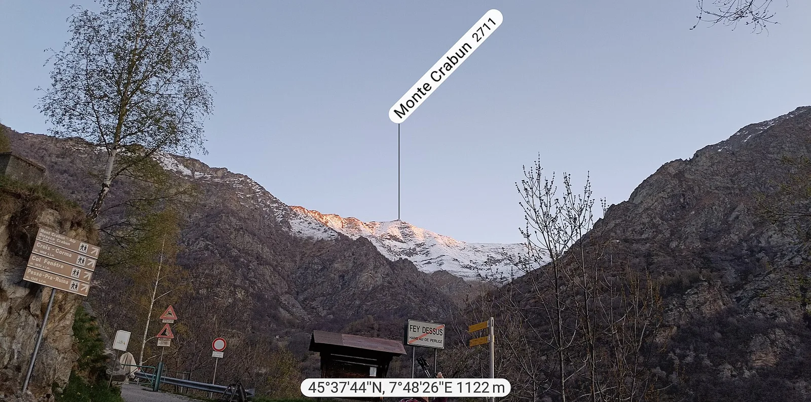
Exceptional ascent from Bonavessy (658 m) to Mont Crabun (2711 m): +2062 m in 8.7 km. Expert hikers only, early start required. EE.
Valgrisenche
8 km · +678 m · E — from Borègne to Plontaz (Valtournenche).
Bassa Valle
6.1 km · +965 m · E — from Bourg to Verale (Valtournenche).
Val d'Ayas
6.6 km · +0 m · EE — from Capiron to Gettaz (Central Valley).

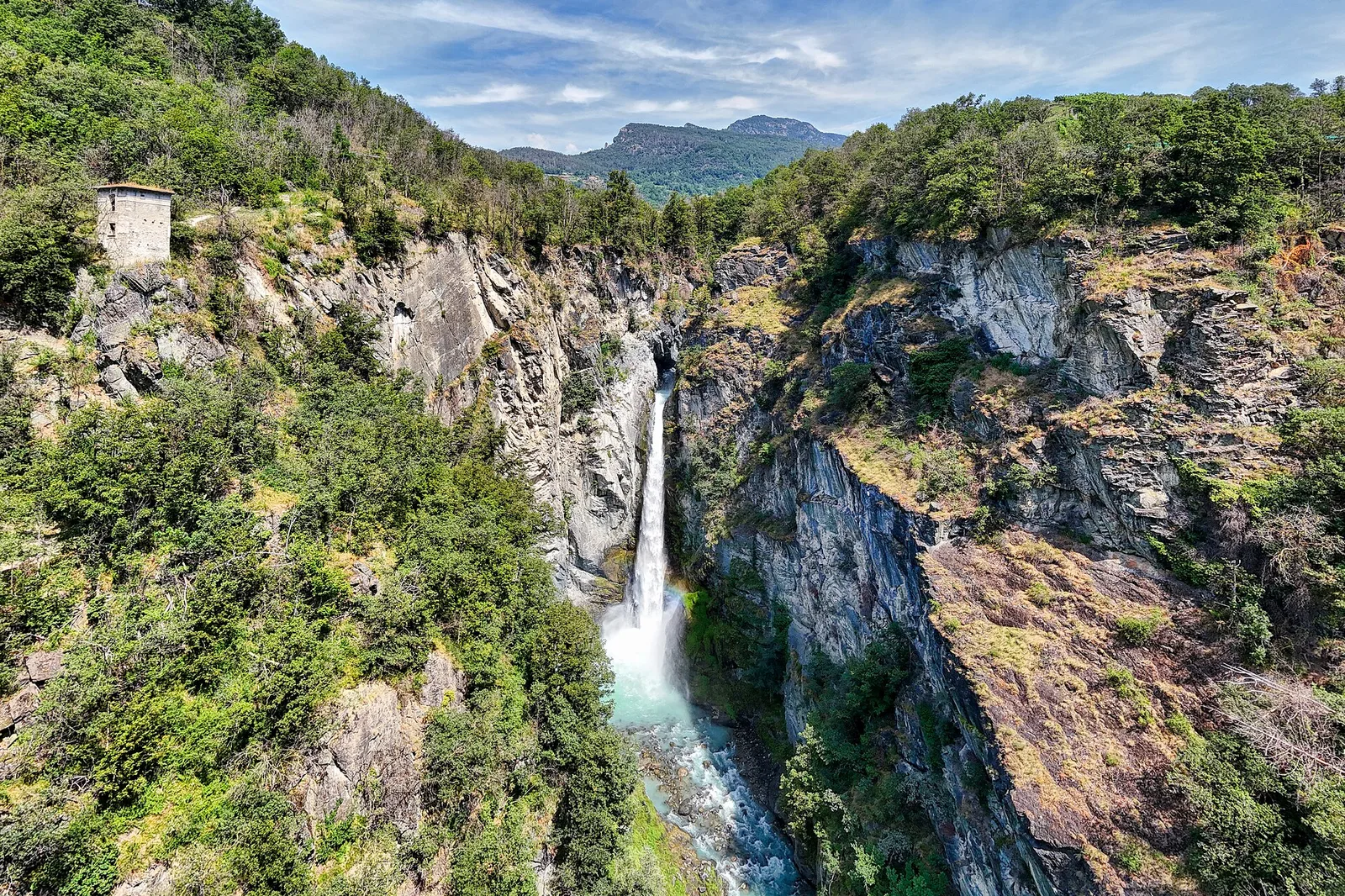
Valle del Lys
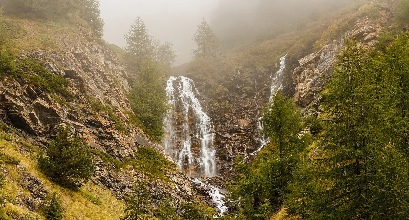
0.6 km · +80 m · E — from Start 7B to Cascate di Niel (Great St Bernard Valley).
Valle centrale
4 km · +720 m · E — from Chambave to Del (Central Valley).
Valtournenche
4.3 km · +915 m · E — from Chamois to Col Pillonnet (Central Valley).
Valtournenche
6.6 km · +982 m · E — from Chamois to Col de Nannaz (Central Valley).
Valle centrale
From Champsolin to Serignan (1190 m) through terraced vineyards and rural hamlets: the trail that tells the story of Val di Cogne's wine landscape.
Valle centrale
6 km · +1256 m · E — from Clapey to Alpe Valmeriana (Valdigne).
Valle centrale
1.8 km · +219 m · E — from Cossèi to Belvedere Tsan (Lys Valley).
Valle di Champorcher
8 km · +1073 m · E — from Covarey to Col de la Croix (Central Valley).
Valle centrale
12.7 km · +1360 m · E — from Druges to Col Lavodilec (Great St Bernard Valley).
Valle di Champorcher
2.9 km · +832 m · EE — from Dublanc to Tete du Mont (Valtournenche).
Val di Cogne
6 km · +1339 m · E — from Epinel to Col Garin (Lys Valley).
Val d'Ayas
2.9 km · +0 m · E — from Erésaz to Abay (Great St Bernard Valley).
Val d'Ayas
0.4 km · +0 m · E — from Erésaz to Grand Hoel (Great St Bernard Valley).

Valle centrale
1.4 km · +164 m · E — from Feilley to Moron (Valtournenche).
Valle del Lys
6.3 km · +1311 m · E — from Fey to Colle Prial (Central Valley).
Valle centrale
0.2 km · +0 m · E — from Tornante presso Fossaz to Zona Calanchi (Central Valley).
Val d'Ayas
From Frachey (1620 m) to Col du Rothorn (2692 m): 5.7 km, +1094 m, exposed sections. Pass linking Val d'Ayas to Valle centrale. Expert hikers only. EE.
Valpelline
7 km · +1273 m · E — from Glacier to Colle Fenêtre Durand (Valpelline).
Valle centrale
3.5 km · +623 m · E — from Gouilles to Del (Valtournenche).
Valle centrale
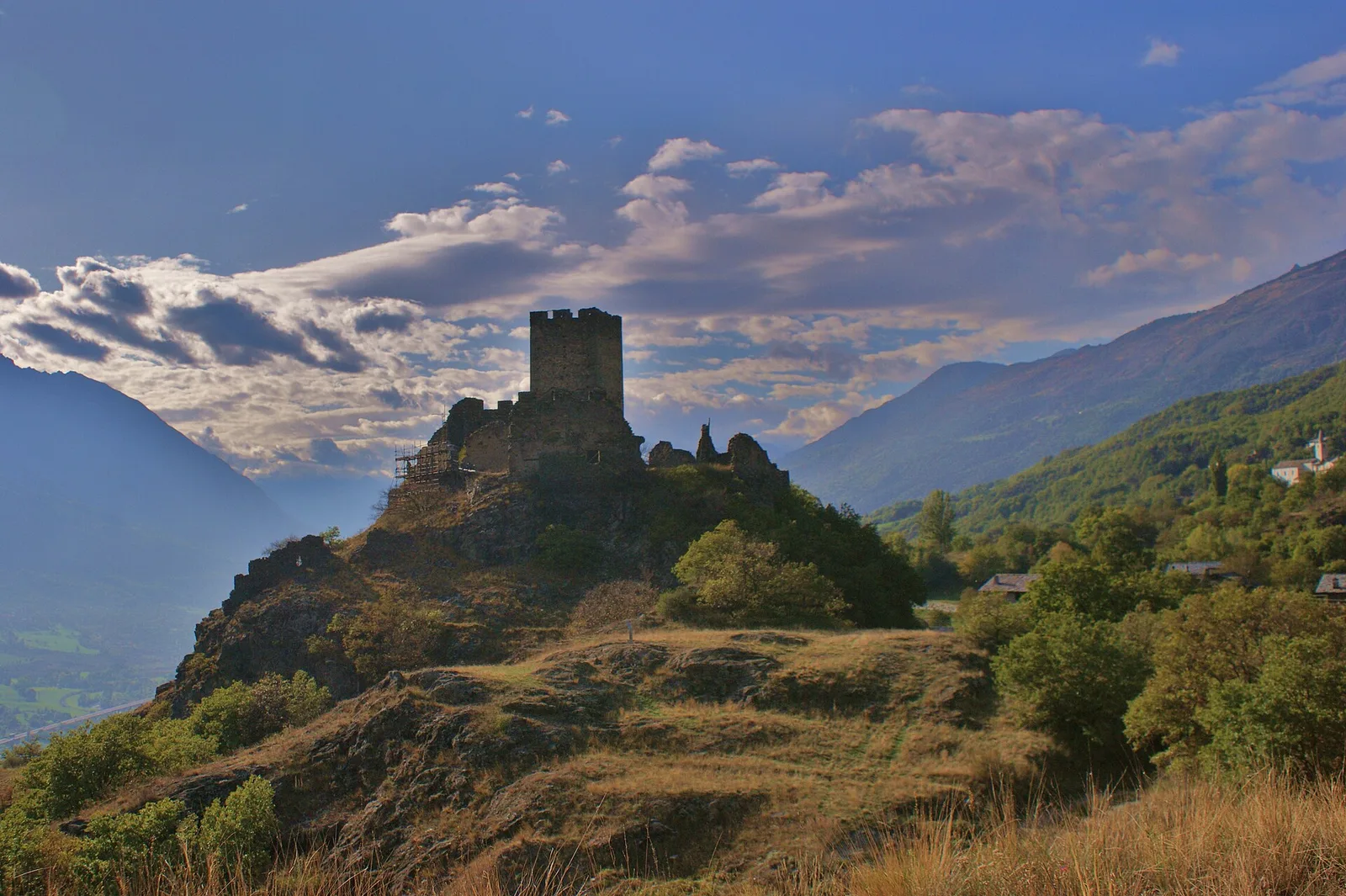
0.8 km · +0 m · E — from Grand Haury to Castello Montmayeur (Valgrisenche).
Valtournenche
5.8 km · +1264 m · EE — from Cheneil to Grand Tournalin (Central Valley).
Valle del Lys
5.9 km · +1689 m · EEA — from Capoluogo to Testa Grigia (Groabhopt) (Lys Valley).
Valle del Lys
4.3 km · +92 m · E — from Capoluogo to Gaby (Ayas Valley).
Bassa Valle
4.2 km · +1074 m · E — from La Clévaz to Plan Fiou (Valsavarenche).
Val Ferret
3.1 km · +774 m · E — from La Palud to Pavillon (Great St Bernard Valley).
Bassa Valle
4.8 km · +1134 m · E — from La Raffort - Centrale to Cormoney (Valsavarenche).

Valle centrale
2 km · +207 m · E — from La Ravoire to Castello di Montmayeur (Valgrisenche).
Valle centrale
1.5 km · +245 m · E — from La Ravoire to Lolair (Valgrisenche).
Valle di Champorcher
7.4 km · +929 m · E — from Strada Dondena to Gran lago (Valtournenche).
La Thuile
5.7 km · +637 m · E — from Col Saint-Charles to lago di Pietra Rossa (Central Valley).
Valle di Champorcher
6.9 km · +1065 m · E — from Le Crin to Col de Médzove (Lys Valley).
Valle di Champorcher
8.4 km · +1277 m · EE — from Le Crin to Col Fénis (Lys Valley).
Valle centrale
In the Valgrisenche, Arvier: a steady E-rated climb through forest and meadows toward upper pastures.
Valle centrale
From the Valgrisenche valley floor at Leverogne (721 m) to the hilltop village of Saint-Nicolas (1,203 m): 3.4 km and 499 m of ascent.
Valtournenche
1 km · +245 m · E — from Lies to Bosco di protezione (Valtournenche).
Valle del Lys
2.3 km · +592 m · E — from Lillianes to Sainte-Marguerite (Central Valley).
Valle centrale
2.1 km · +261 m · E — from Liveroulaz to Fossaz (Central Valley).
Valle centrale
2.2 km · +263 m · E — from Liveroulaz to Chaillod (Central Valley).

Val d'Ayas
5.6 km · +793 m · E — from Lo Pian to Covarey (Parcheggio) (Central Valley).
Valpelline
0.5 km · +135 m · E — from Località Champette to innesto sentiero 6 A (Valtournenche).
Valle del Lys
2.3 km · +326 m · E — from Marine to Varfey (Central Valley).
Valle centrale
8.1 km · +995 m · E — from Marseiller to Col des Bornes (Valsavarenche).
Val d'Ayas
3 km · +259 m · E — from Mayn to Curien (Ayas Valley).
Valle di Champorcher
2.1 km · +183 m · E — from Mellier to Grand-Rosier (Valtournenche).
Val d'Ayas
2.3 km · +160 m · E — from Orbeillaz to Pian Abelly (Ayas Valley).
Valle centrale
1.7 km · +169 m · E — from Palleusieux to Verrand (Rhêmes Valley).
Valle centrale
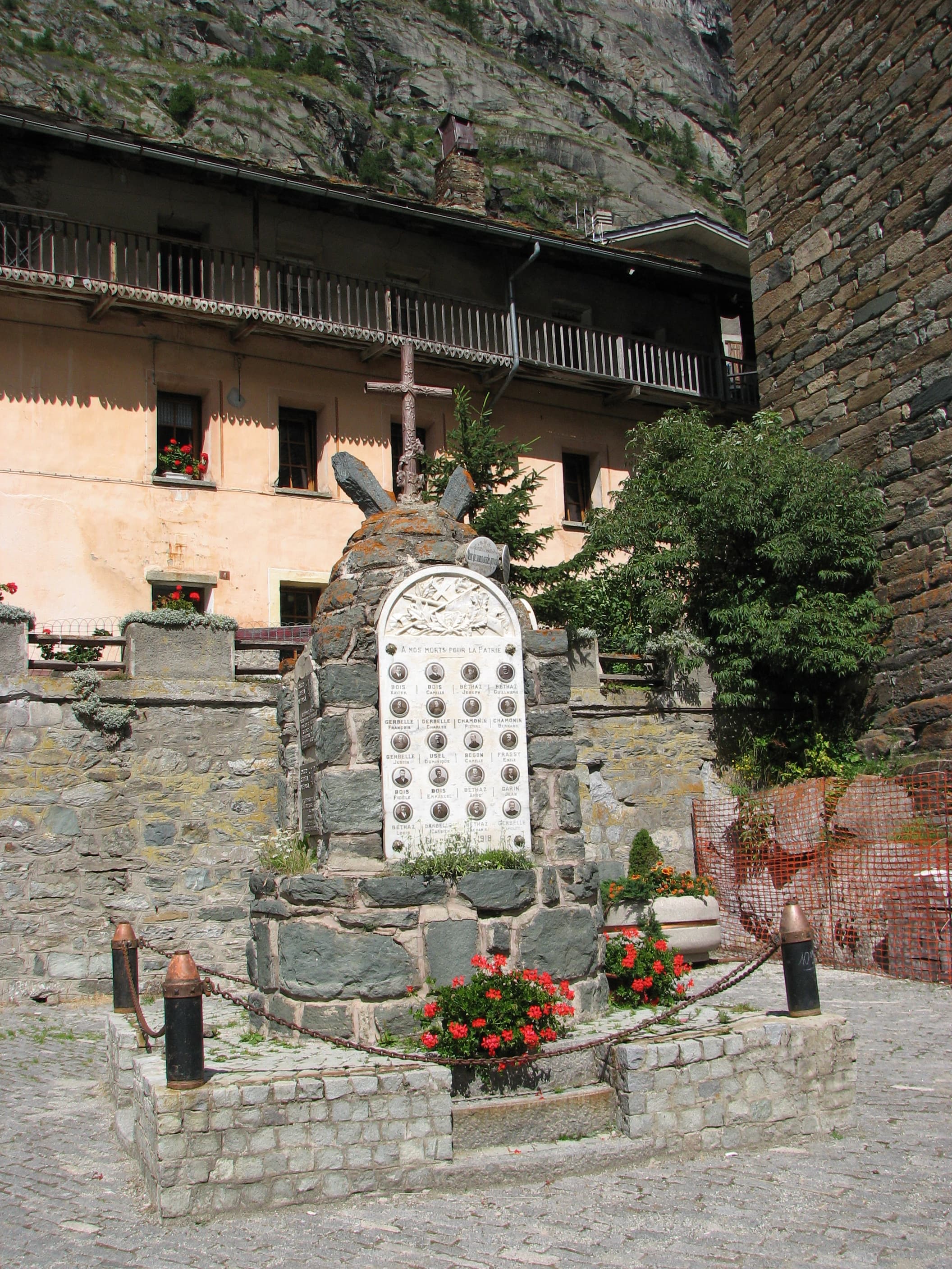
1.2 km · +124 m · E — from Petit-Palleussieux to Château Verrand (Rhêmes Valley).
Valle del Lys
0.6 km · +266 m · E — from Issime (parco giochi) to Pirubeck (Ayas Valley).
Valsavarenche
6 km · +1072 m · E — from Pont du Grand Clapey to Col Manteau (Ayas Valley).
Valle centrale
2.5 km · +497 m · E — from Pont-Avisod to Ville-Sur-Sarre (Valgrisenche).
Bassa Valle
5 km · +873 m · E — from Pramotton to Innesto Baraton (Valtournenche).
Valtournenche
4.4 km · +800 m · E — from Praz to Becca d'Aver (Valpelline).

Valle del Lys
From Quinçod (1030m) to Colle Chasten (2549m) via Merendiou: 8.6 km EE with 1708 m of ascent, crossing all altitude bands of the Val d'Ayas.

Valle del Lys
6.6 km · +1335 m · E — from Quinçod to Merendiou (Ayas Valley).
Valle del Gran San Bernardo
10.4 km · +67 m · E — from Reysod to Etroubles (Central Valley).
Bassa Valle
2.6 km · +828 m · E — from Rovarey to Jas Dèsot (Valtournenche).
Valle centrale
3.1 km · +442 m · E — from Saint-Denis to Del (Central Valley).
Valpelline
4.5 km · +1016 m · EE — from Servaz to Cima Bianca (Valpelline).
Valle del Lys
8.6 km · +1731 m · EE — from Staffal to Rifugio Mantova (Lys Valley).
Valle centrale
0.7 km · +179 m · E — from Strada regionale 47 to Serignan (Cogne Valley).
Valle centrale
5.5 km · +1288 m · E — from Strada regionale per Arpy to Mont-Charvet (Central Valley).

Bassa Valle
15.7 km · +0 m · E — from Fontainemore to Donnas (Lys Valley).
Valle del Gran San Bernardo
13.8 km · +0 m · E — from Echevennoz to Aosta centro (Central Valley).
Bassa Valle
14.9 km · +0 m · E — from Verrès to Pont-Saint-Martin (Valtournenche).
Valle centrale
3.3 km · +597 m · E — from Terme to Banqueun (Valtournenche).
Bassa Valle
0.8 km · +0 m · E — from Tour d'Hereraz to Perloz (Central Valley).
Valpelline
A scenic loop above Bionaz, from La Culoz via Mont Echeut and Sevey: 1,200 metres of ascent among alps and balconies over Valpelline.
Valpelline
2.5 km · +231 m · E — from Valpelline capoluogo to Crête (Valtournenche).
Valle di Champorcher
5.2 km · +1722 m · E — from Varesa to Chavanna (Champorcher Valley).
Valle centrale
1.1 km · +191 m · E — from Verrogne to Vulmian (Central Valley).
Val d'Ayas
3.3 km · +600 m · E — from Ponti Romani to Tron damon (Ayas Valley).
Valle centrale
2.9 km · +466 m · E — from Veyves to Parleyaz (Central Valley).
Valle centrale
2.4 km · +196 m · E — from Villair to Château de Châtelard (Central Valley).
Valle centrale
1.4 km · +174 m · E — from Villair to Château de Châtelard (Central Valley).
Valle del Gran San Bernardo
10.1 km · +1856 m · E — from Ville-Sur-Sarre to Mont-Fallère (Valgrisenche).
Valle del Lys
6.5 km · +1391 m · E — from Zengji to Colle del Lupo (Ayas Valley).