Champsolin - Serignan
4.5 km
+770 m
−0 m
3 h
Nivel físico
Mapa y ruta
Traza GPX — verifica sobre el terreno antes de caminar
Descripción
Puntos clave
Salida
Champsolin · 762 m
Llegada
Serignan · 1190 m
Sendero
S8
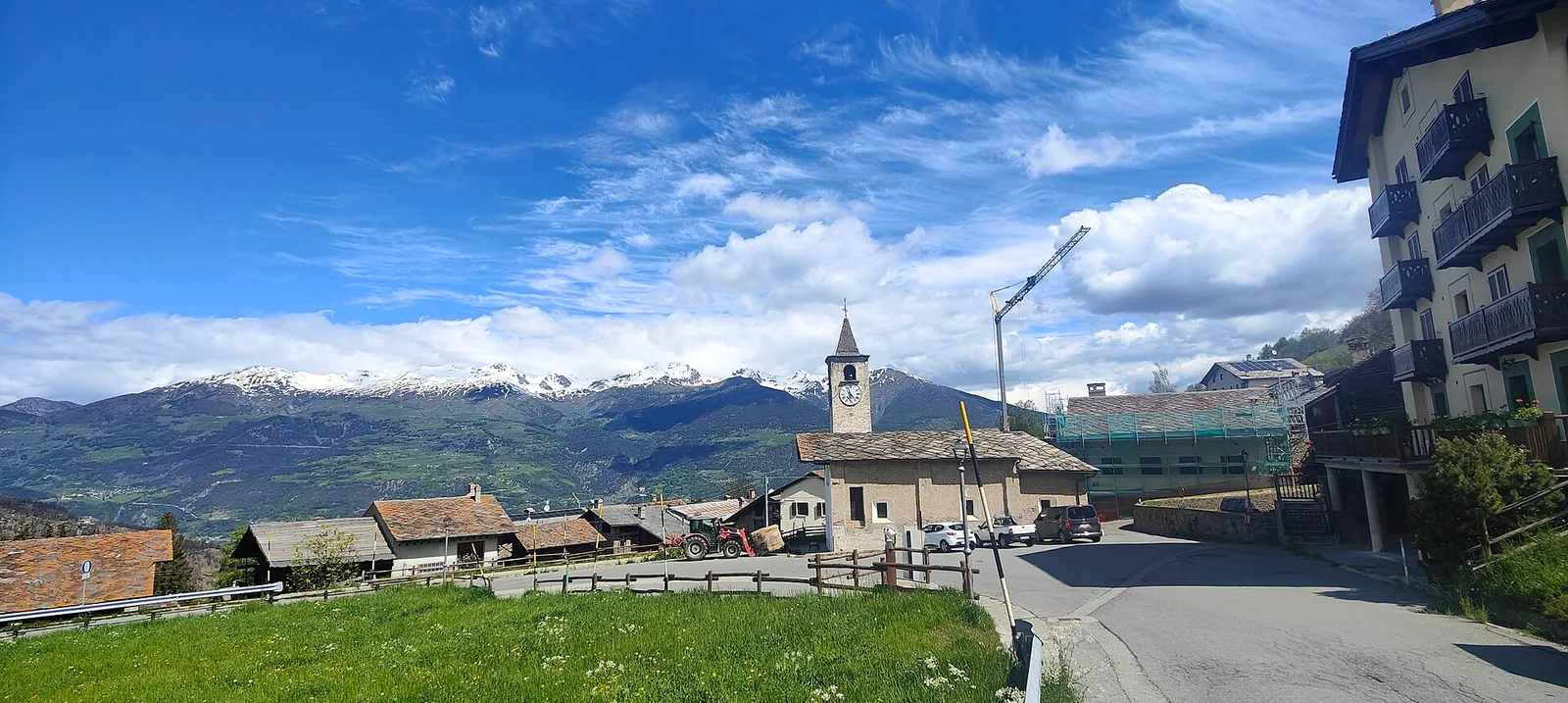
This trail climbs the vineyard-covered slopes of the Val di Cogne, from Champsolin at 762 m to the hamlet of Serignan at 1190 m — 770 metres of ascent over 4.5 km. The south-facing hillside hosts terraced vineyards typical of the Aosta Valley winemaking tradition, supported by ancient dry-stone walls. The route is as much a journey through a traditional agricultural landscape as it is a nature hike: small rural hamlets, centuries-old terracing and the rocky walls of the Val di Cogne frame the climb. Rated E, the sustained gradient over a short distance demands a steady rhythm. The path transitions gradually from vine terraces to higher pastures and sparse woodland.
Aparcamiento
Galería de fotos
Photos are published immediately. JPG/PNG/WebP, max 6 MB.
Flora del sendero
Fauna que observar
AEditado y verificado por Andrea Rama
Fuente de datos: Catasto Sentieri Regione Autonoma VdA · Open data — DGR 899/2014
Última verificación:
Valle centrale
Senderos relacionados
Mismo valle o rutas similares — más excursiones por descubrir.

Valle centrale
Anello del Verrand
2.6 km · +233 m · E — from Château Verrand to Château Verrand (Rhêmes Valley).

Valle centrale
Area giochi Croux - Parleyaz
4.1 km · +476 m · E — from Area giochi Croux to Parleyaz (Central Valley).

Valle centrale
Arlier - Cloutraz (Pontey)
From Arlier (603m) to Cloutraz (1067m) on the Châtillon hillside: 3.5 km E through vineyards, woodland and views over the Dora Baltea.

Valle centrale
Arpilles - Champromenty
2.1 km · +333 m · E — from Arpilles to Champromenty (Lys Valley).