
EE
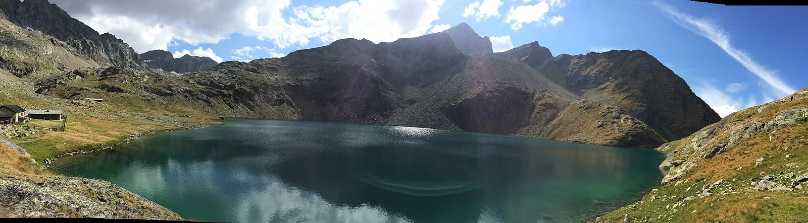
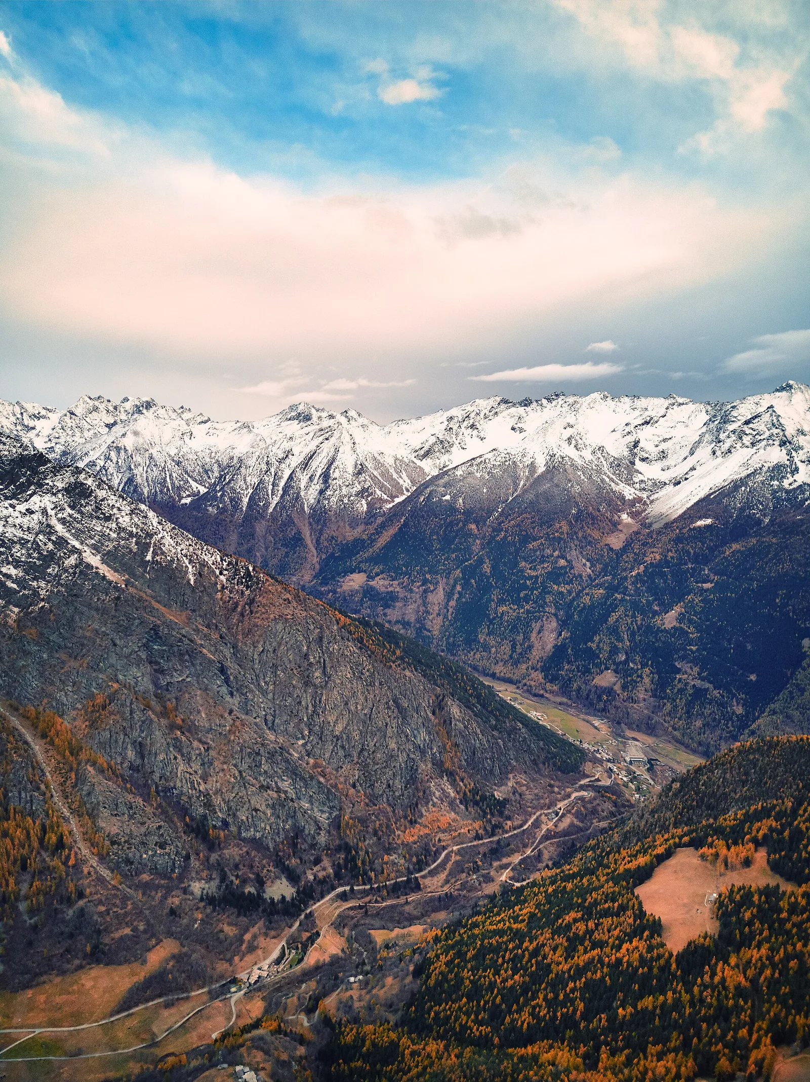
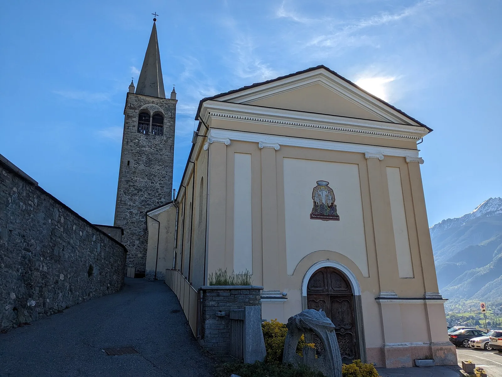
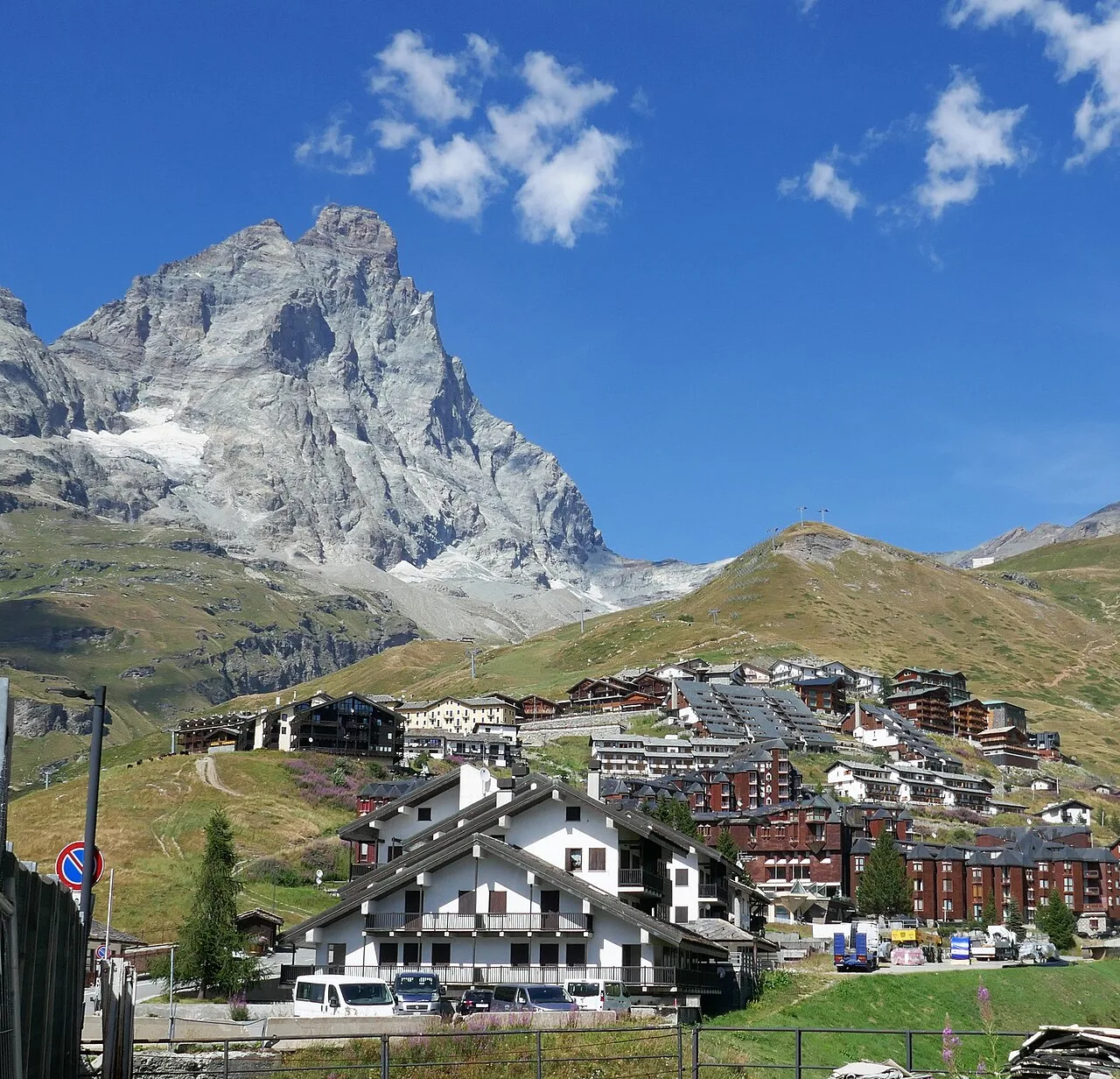
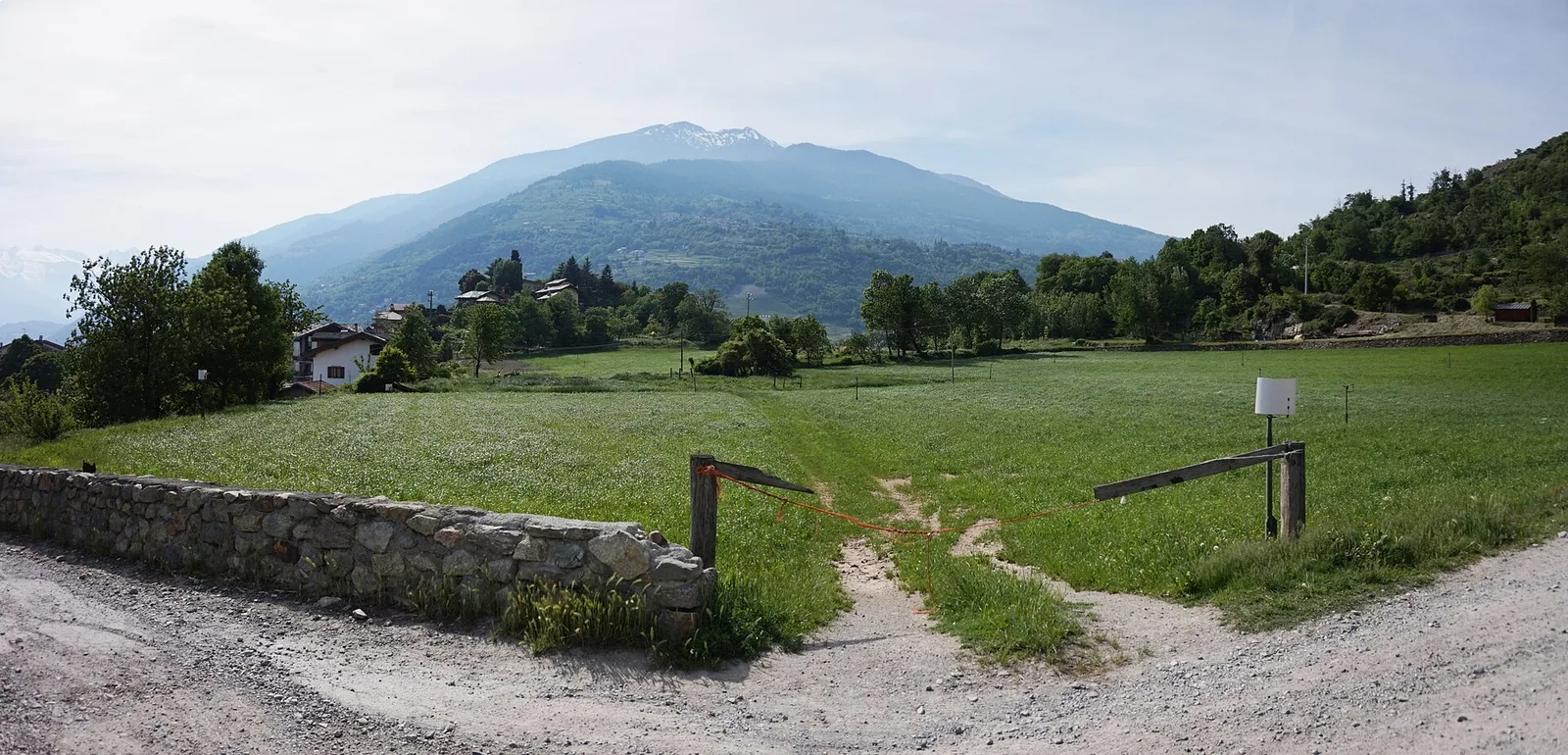
Val d'Ayas
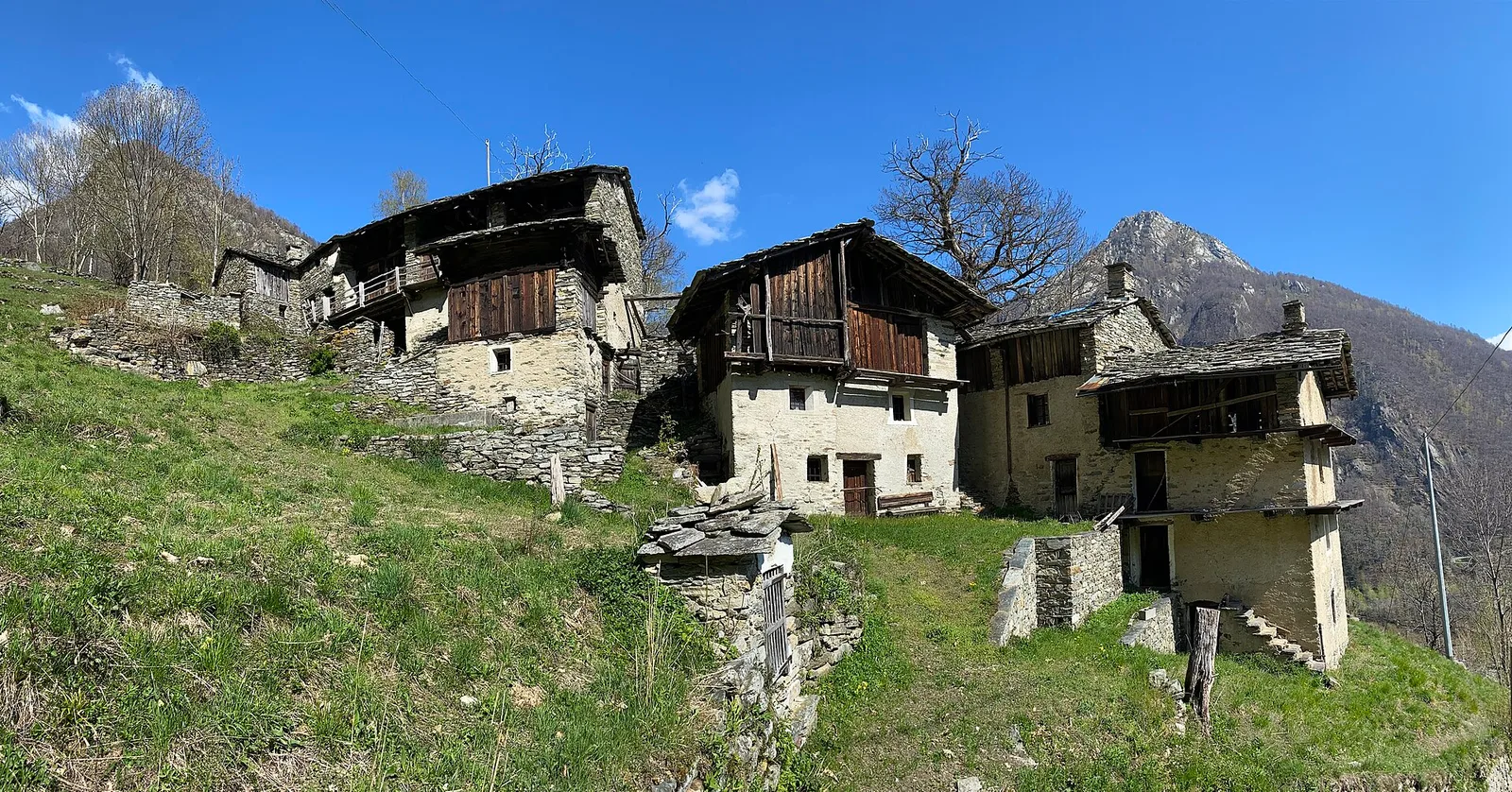
Anello delle gole del torrente Roesaz
9.4 km · +1238 m · EE — from Isollaz to Isollaz (Ayas Valley).
9.4 km+1238 m5.5 h
Where to spot
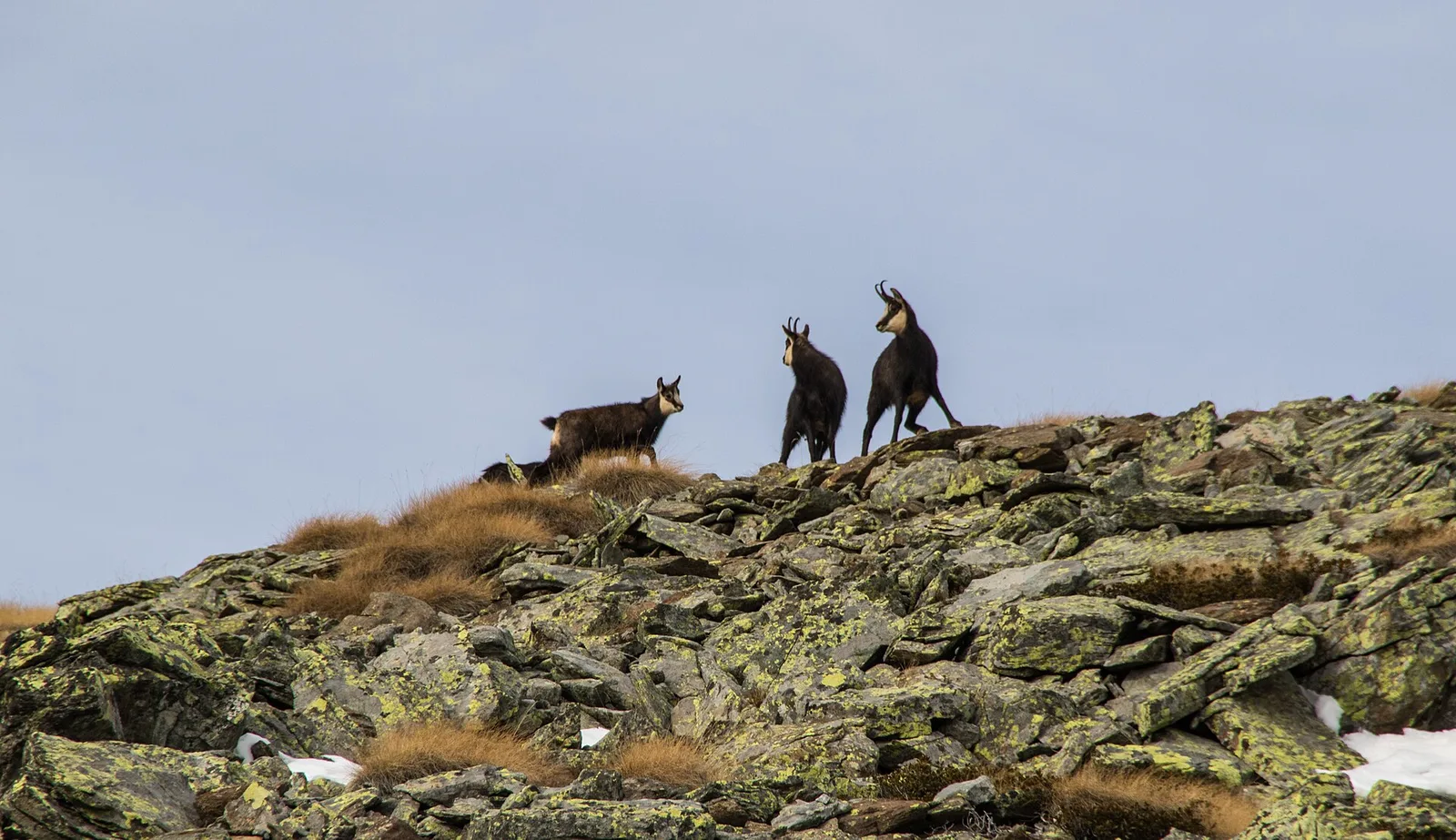
53 trails where European hornbeam is listed in flora/fauna: difficulty T–EE, elevation gain 0–2082 m.
53 · 0.5–16.8 km · +0–2082 m
Val d'Ayas
9.4 km · +1238 m · EE — from Isollaz to Isollaz (Ayas Valley).

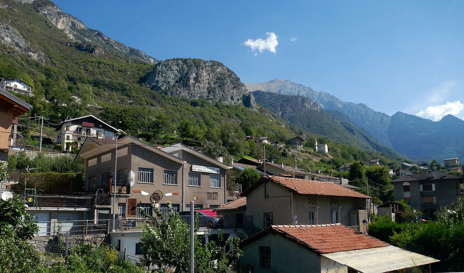
Bassa Valle
In the commune of Cogne, Gran Paradiso National Park: a climb toward a high-altitude objective in an environment of exceptional natural quality.
Valle centrale
A demanding climb from Grand Brissogne to Bivacco Menabreaz on a barely-visited flank of the central Aosta Valley — 1567m of gain and true solitude.
Valle centrale
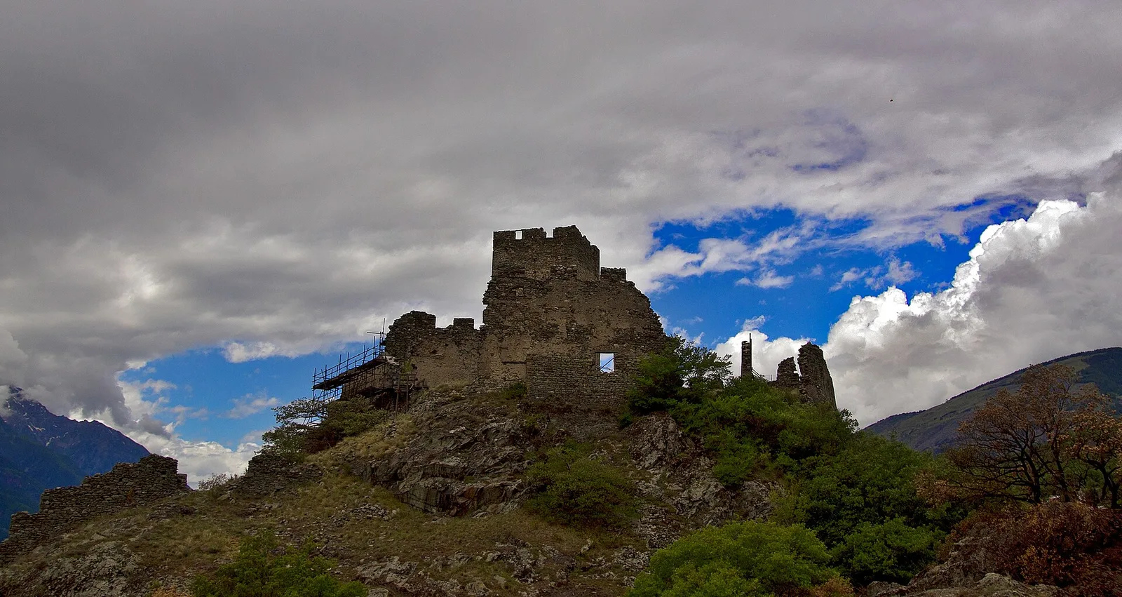
1.7 km · +275 m · E — from Bourg de Chambave to Chateau de Cly (Valtournenche).
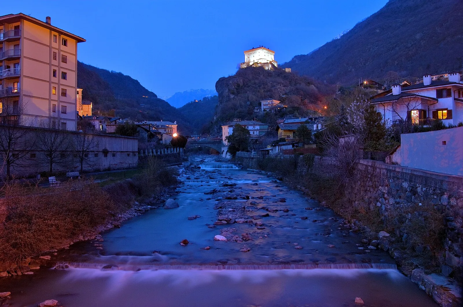
Bassa Valle
1.5 km · +312 m · E — from Bourg to Peredrette (Valtournenche).
Bassa Valle
2.4 km · +471 m · E — from Cappella Sant'Erasmo to Reserve Naturelle de Holay (Central Valley).
Valle centrale
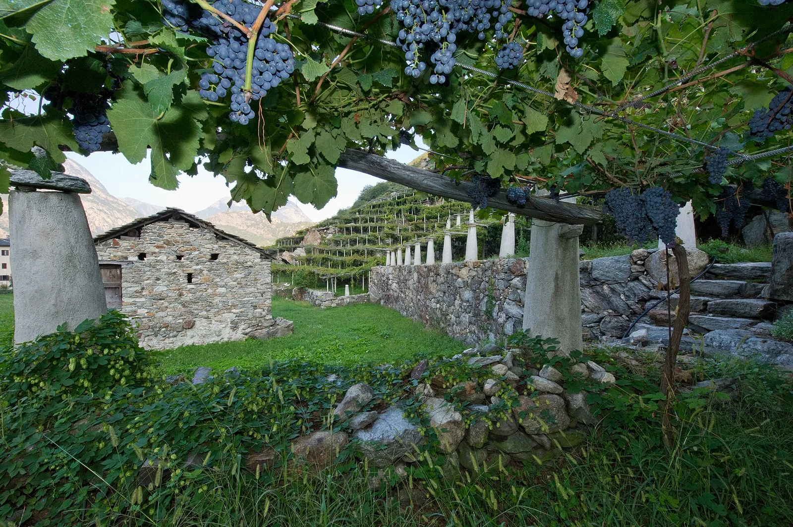
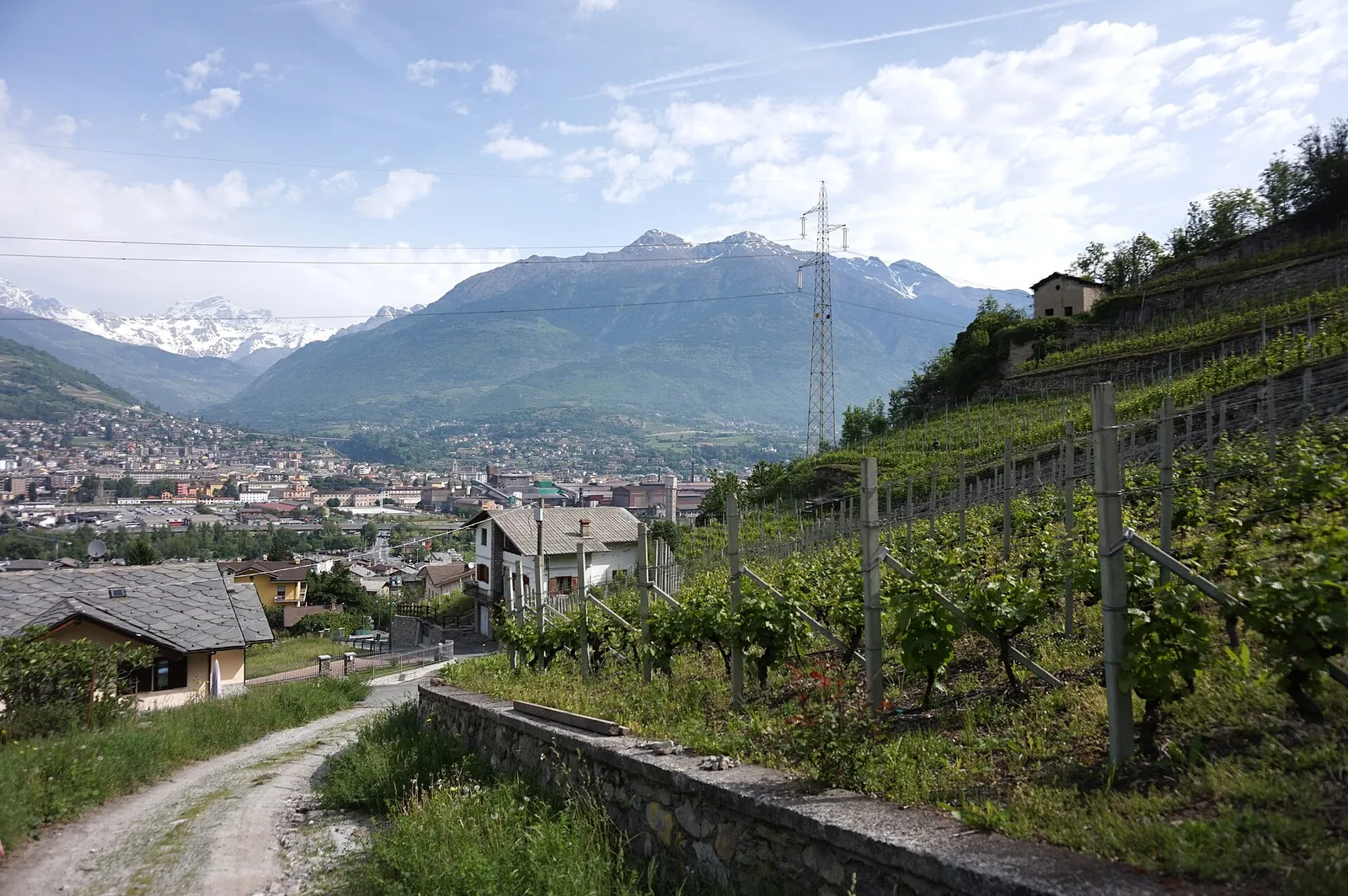
From Champsolin to Serignan (1190 m) through terraced vineyards and rural hamlets: the trail that tells the story of Val di Cogne's wine landscape.
Valle centrale
1.2 km · +181 m · E — from Charvensod to Sainte-Colombe (Cogne Valley).
Valle centrale
5.2 km · +959 m · E — from Via Chanoux to Promiod (Valdigne).
Valle centrale
8.6 km · +2082 m · E — from Albard to Mont Zerbion (Valdigne).
Valpelline
1.3 km · +270 m · E — from Créton to Arp du Bois (Valpelline).
Valle centrale
2.7 km · +88 m · E — from Domianaz to Isseuries (Valdigne).
Valpelline
7.8 km · +1552 m · E — from Planavilla to Col Champillon (Valtournenche).
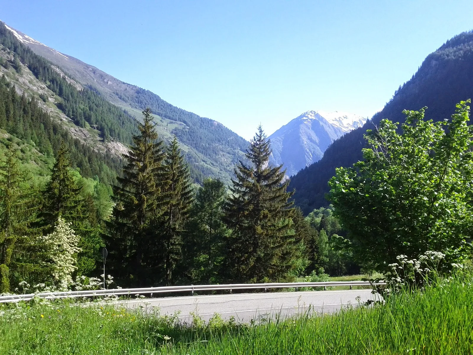
Valle centrale
6.8 km · +797 m · E — from Elevaz to Plan Praz (Rhêmes Valley).

Valle centrale
1.4 km · +164 m · E — from Feilley to Moron (Valtournenche).
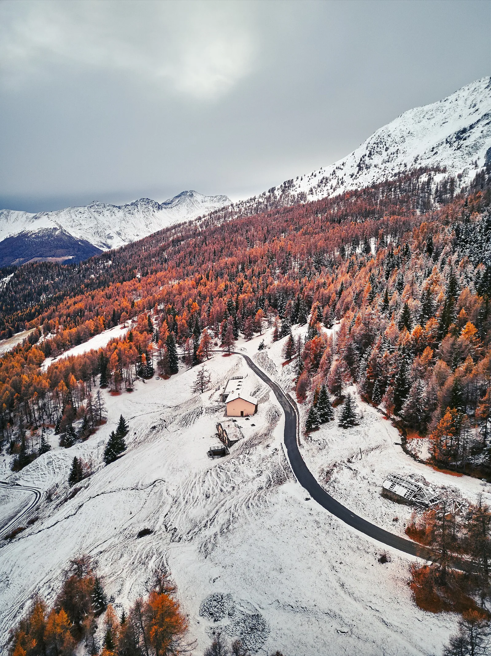
Valle di Champorcher
5.4 km · +633 m · E — from Piazza Municipio to Pontboset (Valsavarenche).
Val d'Ayas
2 km · +106 m · E — from Isollaz to Ponti Romani (Ayas Valley).
Val Ferret
1.5 km · +308 m · EE — from La Saxe to Belvedere (Great St Bernard Valley).
Bassa Valle
3.3 km · +642 m · E — from La Raffort to Pian (Valsavarenche).
Bassa Valle
1.3 km · +95 m · T — from Piazza del Municipio to Le tre Goye (Valsavarenche).
Bassa Valle
7.6 km · +1544 m · E — from Lo Pian to Arvueil (Central Valley).
Valle di Champorcher
8.4 km · +1813 m · EE — from Lo Pian to Col de Panaz (Central Valley).
Valle del Lys
3.7 km · +790 m · E — from Nantay to Ruine damon (Central Valley).
Valle centrale
1.2 km · +124 m · E — from Petit-Palleussieux to Château Verrand (Rhêmes Valley).
Valle centrale
A long climb from the Aosta valley floor, via Chacotteyes and Tsa de Metz, to Pointe Chaligne: 1,940 metres of ascent and a 360° view over the Aosta basin.

Valle centrale
2.1 km · +157 m · E — from Ponte delle Capre to Ussel (Valdigne).
Valle centrale
1.5 km · +190 m · T — from Ponte Romano to Moron (Valtournenche).
Bassa Valle
2.2 km · +436 m · E — from Capoluogo to Reserve Naturelle de Holay (Central Valley).
Valle centrale
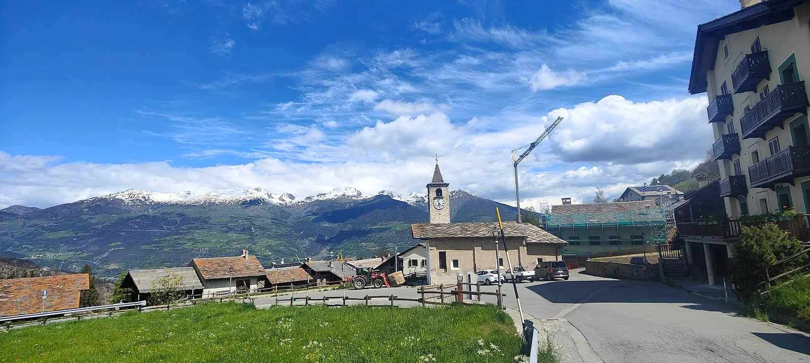
In the lower Val d'Ayas, Challand-Saint-Victor: an E-rated climb through vineyards, forest and terraced land toward historic hamlets.
Bassa Valle
6.2 km · +567 m · E — from Rovarey to Santuario Notre Dame de la Garde (Valtournenche).
Val d'Ayas
7.1 km · +917 m · E — from Saint-Clair to Gettaz (Valdigne).
Valle centrale
1.1 km · +75 m · E — from Terme to Maison Neuve (Valtournenche).
Valle centrale
A short, steep climb from Strada Cappuccini (601 m) to Excenex (1,036 m) in Val d'Ayas: 3.2 km and 452 m of ascent.
Val d'Ayas
1.5 km · +367 m · T — from Strada Statale 26 to Croix de Saint-Gilles (Valtournenche).
Valle centrale
11.7 km · +1707 m · E — from Stradina Chateau de Quart to Croce di Fana (Rhêmes Valley).

Bassa Valle
15.7 km · +0 m · E — from Fontainemore to Donnas (Lys Valley).
Bassa Valle
12.6 km · +1160 m · E — from Arnad to Challand-Saint-Victor (Central Valley).
Val d'Ayas
15.6 km · +0 m · E — from Challand-Saint-Victor to Saint-Vincent (Ayas Valley).
Valle del Gran San Bernardo
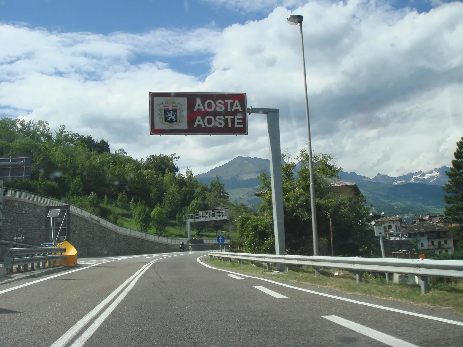
13.8 km · +0 m · E — from Echevennoz to Aosta centro (Central Valley).
Valle di Champorcher
16.8 km · +808 m · E — from Verrès to Pontboset (Valtournenche).
Bassa Valle
13.2 km · +0 m · E — from Pontboset to Pont-Saint-Martin (Champorcher Valley).
Valle centrale
11.9 km · +0 m · E — from Castello di Quart to Chiesa di Diemoz (Rhêmes Valley).
Valle centrale
9 km · +400 m · E — from Chiesa di Diemoz to Châtillon (Valsavarenche).
Bassa Valle
6.3 km · +0 m · E — from Donnas to Pont-Saint-Martin (Valtournenche).
Valle centrale
2.4 km · +310 m · E — from Tenso to Strada per Bellecombe (Valtournenche).

Valle di Champorcher
0.5 km · +167 m · E — from Terrisse to Attacco Mont Charvatton (Champorcher Valley).
Valpelline
5.6 km · +1484 m · E — from Valpelline to Col Fouillou (Valtournenche).
Bassa Valle
1.4 km · +312 m · T — from Piazza R.Challand to Croix de Saint-Gilles (Valtournenche).
Valle di Champorcher
From Veulla (1286 m) to Lac Gelé (2606 m) above Charvensod: 1311 m of sustained ascent to a glacial tarn easily reached from the city of Aosta.

Valle di Champorcher
7 km · +910 m · E — from Veulla to Rifugio Barbustel (Central Valley).
Valle centrale
In the lower Val d'Ayas, Challand-Saint-Victor: a moderate climb through vineyards, meadows and forest toward upper hamlets.
Valle centrale
2.1 km · +177 m · E — from Via Scuola Militare Alpina to Châtelet (Ayas Valley).
Valle centrale
0.9 km · +0 m · E — from Capoluogo to Saint Roch (Central Valley).