Strada Statale 26 - Croix de Saint-Gilles
1.5 km
+367 m
−0 m
1.5 h
Nivel físico
Mapa y ruta
Traza GPX — verifica sobre el terreno antes de caminar
Descripción
Puntos clave
Salida
Strada Statale 26 · 379 m
Llegada
Croix de Saint-Gilles · 723 m
Sendero
S2
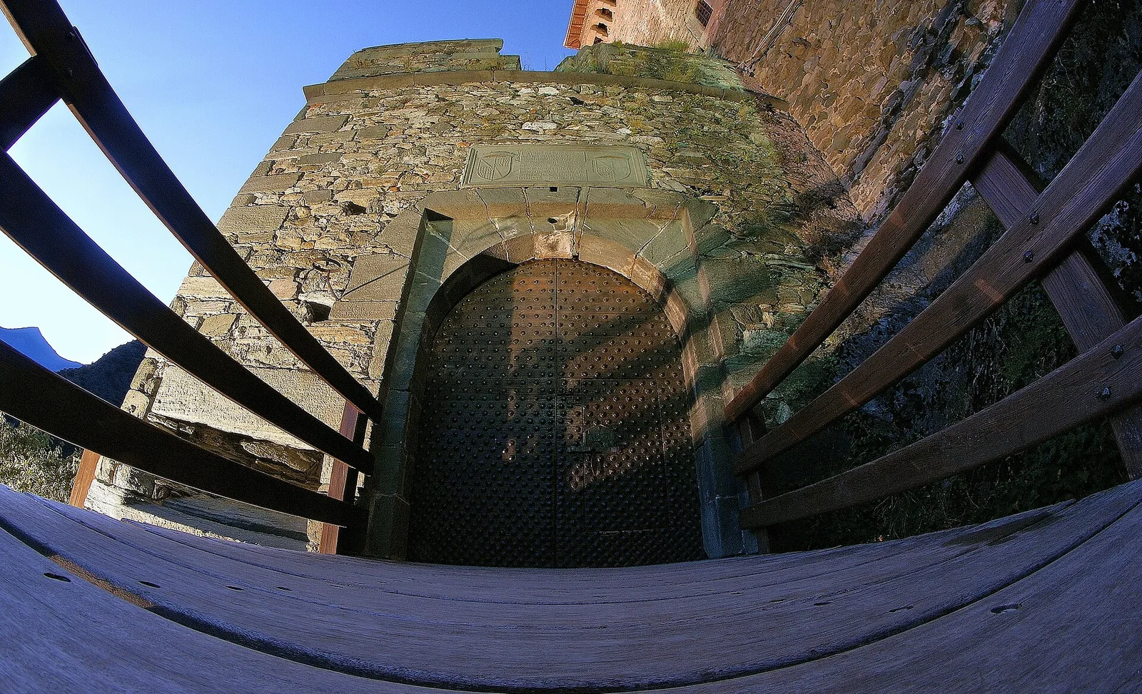
Strada Statale 26 - Croix de Saint-Gilles is an official trail from the Aosta Valley trail registry (code 73_S2). The route lies in the municipality of Antey-Saint-André, in the Valtournenche. From Strada Statale 26 (379 m) to Croix de Saint-Gilles (723 m): 1.5 km with +367 m of elevation change, difficulty T (CAI scale). Minimum elevation 379 m, maximum 723 m. Recommended season per registry: maggio, giugno, luglio, agosto, settembre, ottobre (months 6, 7, 8, 9). Waymarking: 2 segnavia recorded in the registry. GPX track and elevation data from Regione Autonoma Valle d'Aosta (open data DGR 899/2014).
Aparcamiento
Galería de fotos
Photos are published immediately. JPG/PNG/WebP, max 6 MB.
Flora del sendero
Fauna que observar
AEditado y verificado por Andrea Rama
Fuente de datos: Catasto Sentieri Regione Autonoma VdA · Open data — DGR 899/2014
Última verificación:
Val d'Ayas
Senderos relacionados
Mismo valle o rutas similares — más excursiones por descubrir.

Val d'Ayas
Amponey - Becca Trecare
A demanding EE ascent from Amponey to Becca Trecare at 3032m — nearly 1500m of gain on varied terrain with sweeping summit views.

Val d'Ayas
Amponey - Alpe Mascognaz
1.8 km · +309 m · E — from Amponey to Alpe Mascognaz (Central Valley).

Val d'Ayas
Amponey - Bec de Nannaz
In the Val d'Ayas, Ayas: an E-rated climb toward a high-altitude objective through pastures and rock with views of Monte Rosa.

Val d'Ayas
Amponey - Mont Facebelle
In the Val d'Ayas, Ayas: an E/EE-rated climb toward a high-altitude objective in the alpine landscape.