Veulla - Rifugio Barbustel
7 km
+910 m
−0 m
4 h
Nivel físico
Mapa y ruta
Traza GPX — verifica sobre el terreno antes de caminar
Descripción
Puntos clave
Salida
Veulla · 1286 m
Llegada
Rifugio Barbustel · 2200 m
Sendero
S9
Veulla (1286 m), above Charvensod, is the start of a long approach to the Barbustel refuge (2200 m), one of the hiking bases in the mountains that close the central valley to the south. The path (E) runs about 7 kilometres and more than 900 metres of ascent, rising from conifer woods to the broad high-altitude pastures where the hut stands. It is a good half-day route, ideal as an approach stage or as a goal in itself for those wishing to overnight at altitude and continue the next day towards the cols and lakes of the area. Summer is the recommended season; always check the hut's seasonal opening before setting out.
Aparcamiento
Galería de fotos
Photos are published immediately. JPG/PNG/WebP, max 6 MB.
Flora del sendero
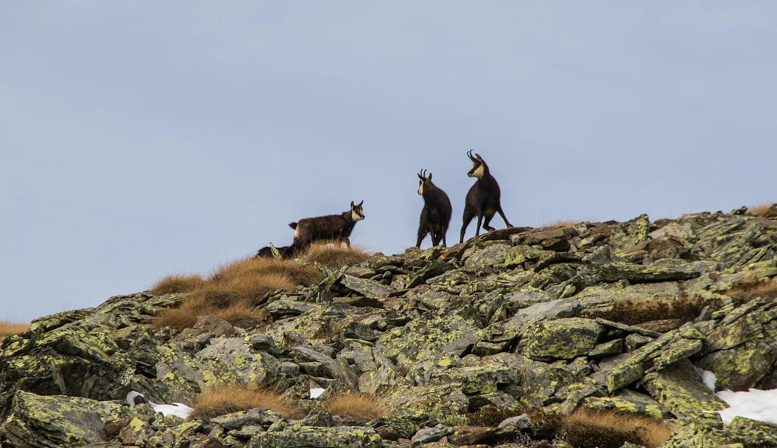
Fauna que observar
AEditado y verificado por Andrea Rama
Fuente de datos: Catasto Sentieri Regione Autonoma VdA · Open data — DGR 899/2014
Última verificación:
Valle di Champorcher
Senderos relacionados
Mismo valle o rutas similares — más excursiones por descubrir.

Valle di Champorcher
Barche - Plan Clavalité - Grand Alpe
13.9 km · +1540 m · E — from Barche to Grand Alpe (Lys Valley).

Valle di Champorcher
Castagnot - Col de Pofouey
3.8 km · +903 m · E — from Castagnot to Colle d'Arcomy (Central Valley).

Valle di Champorcher
Champorcher - Col de la Fricolla
8.8 km · +1350 m · EE — from Champorcher to Col de la Fricolla (Valtournenche).

Valle di Champorcher
Champorcher - Col Laris
10.1 km · +1406 m · E — from Champrocher to Col Laris (Valtournenche).