E
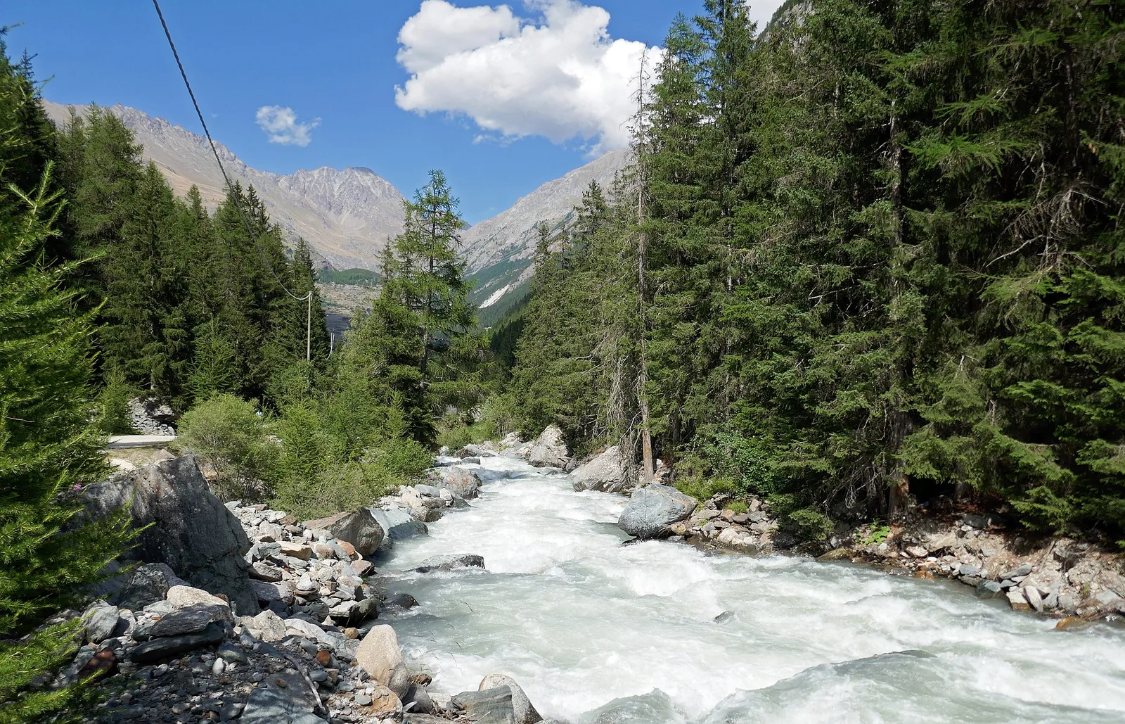
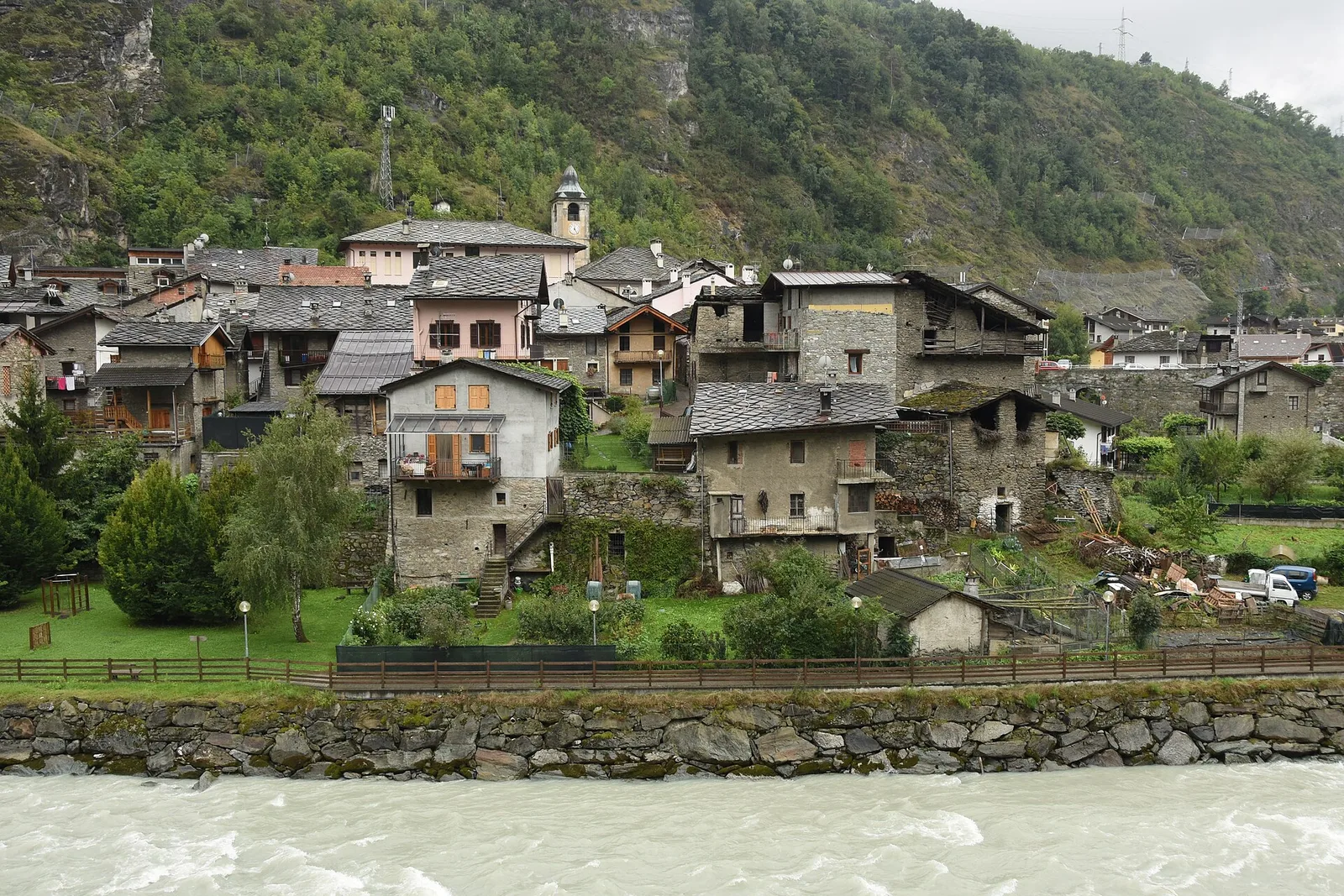
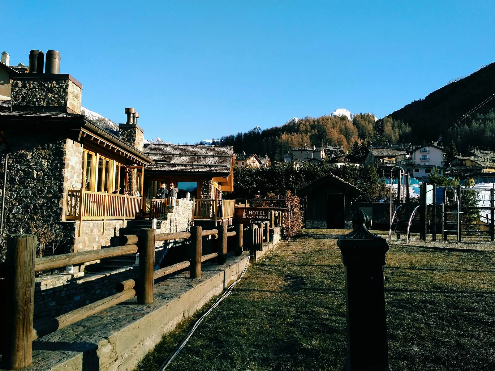
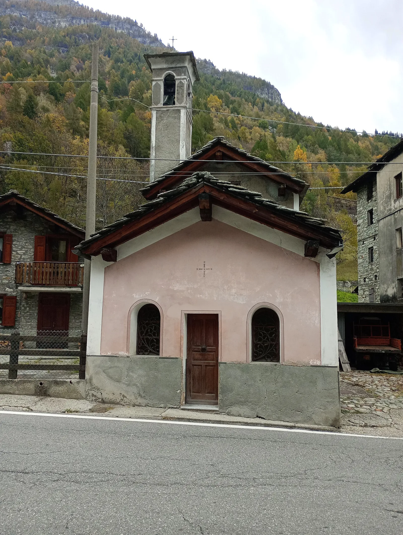
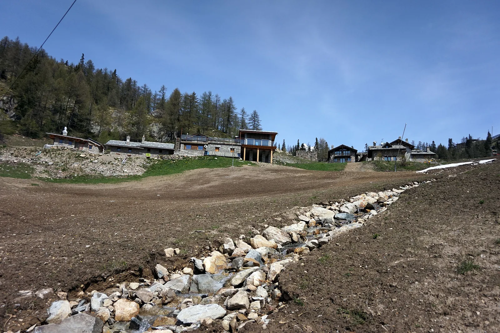
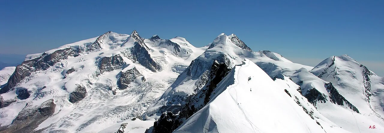
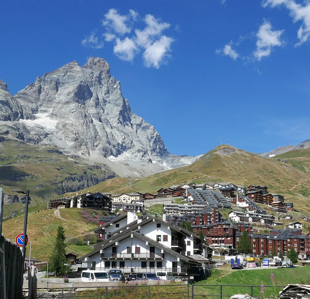
Val d'Ayas
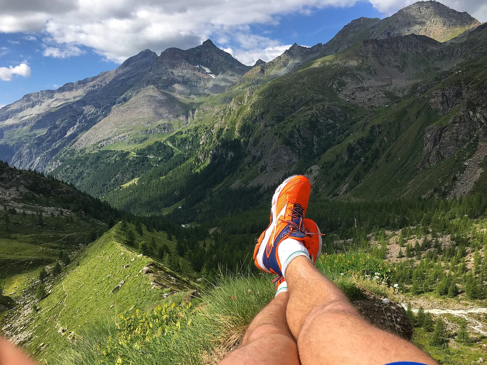
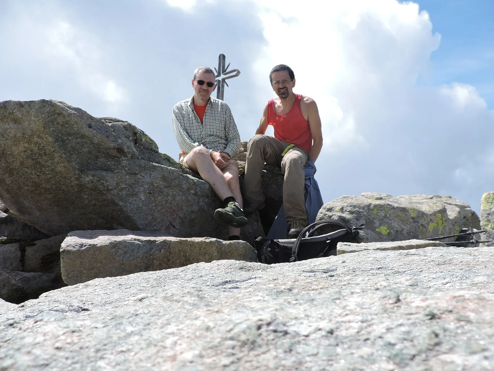
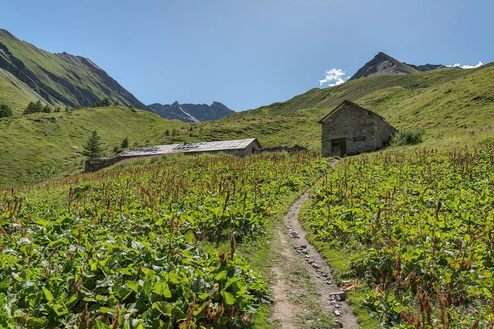
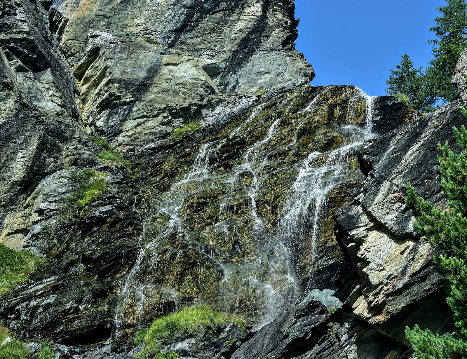
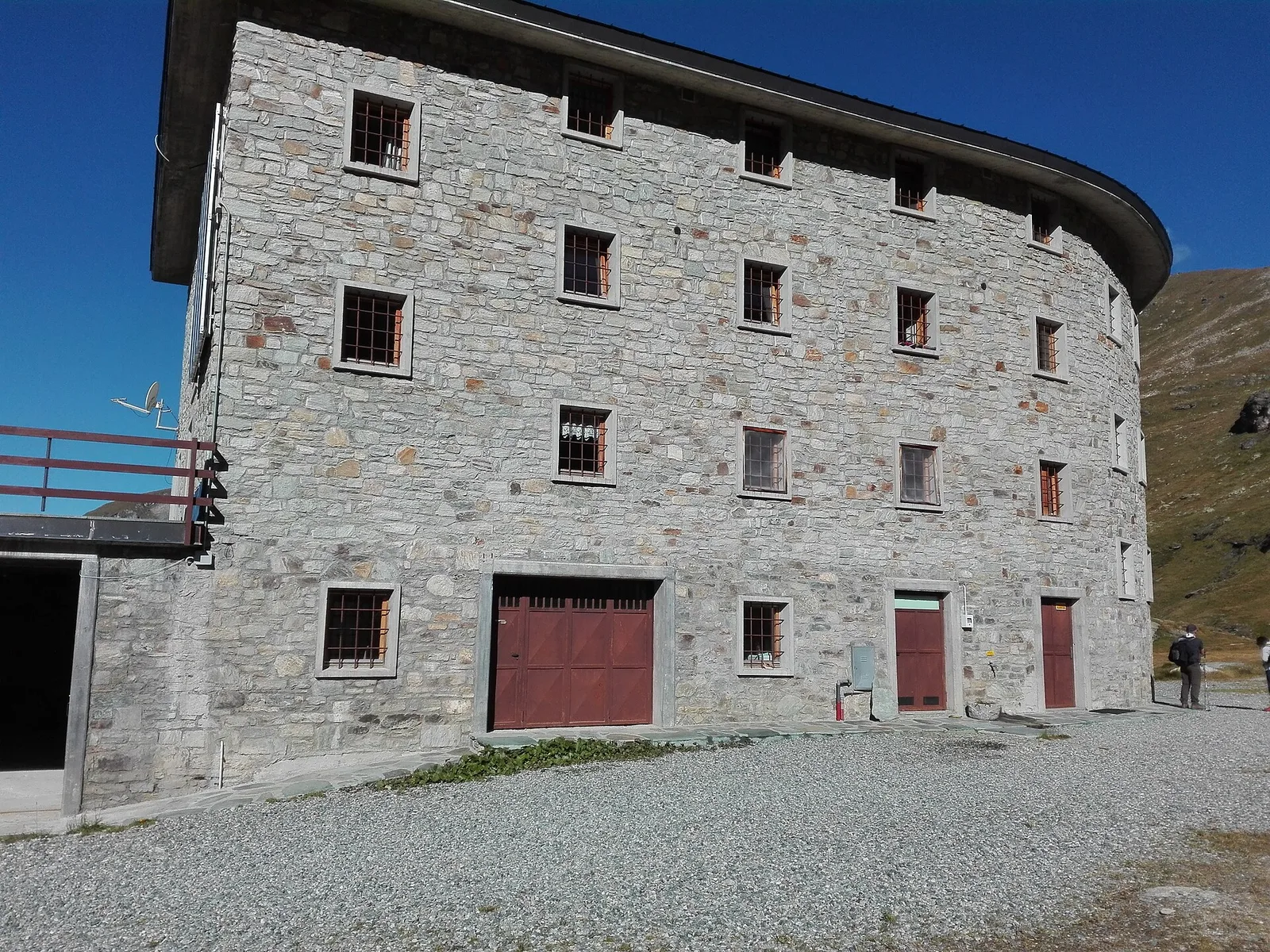
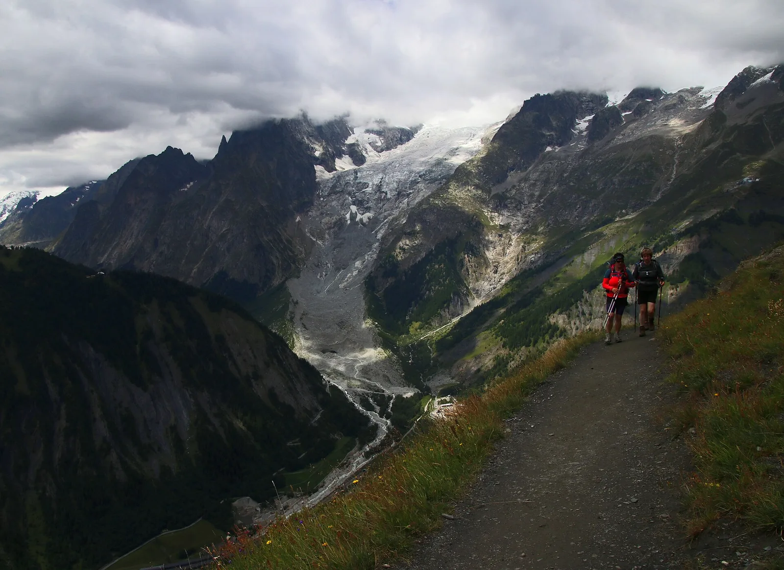
Anello di Tzère
Commune of Ayas: an EE climb toward the high ground of the Vallone delle Cime Bianche.
6.2 km+956 m4 h
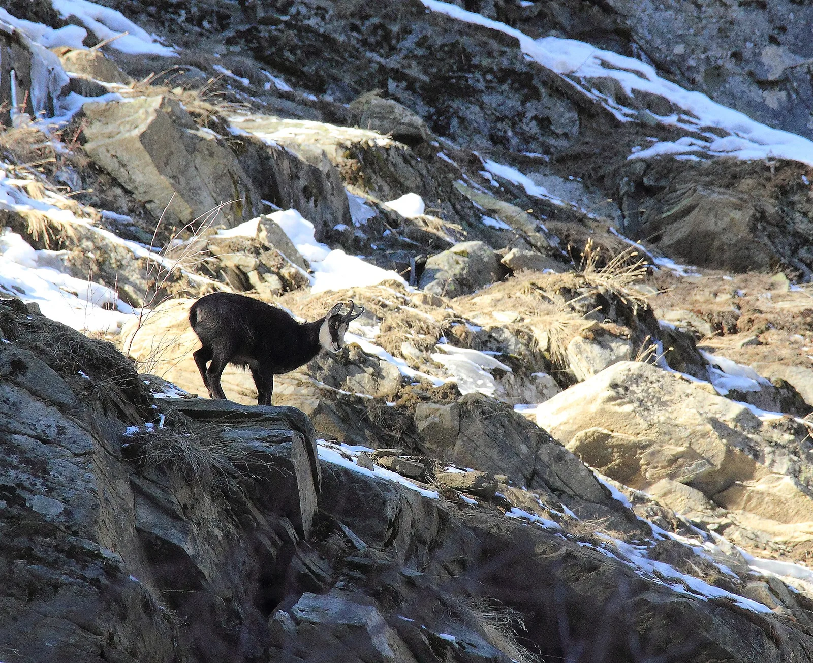
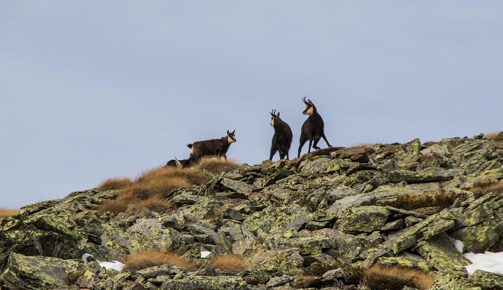
Where to spot
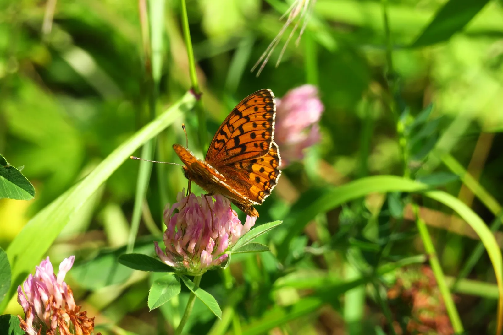
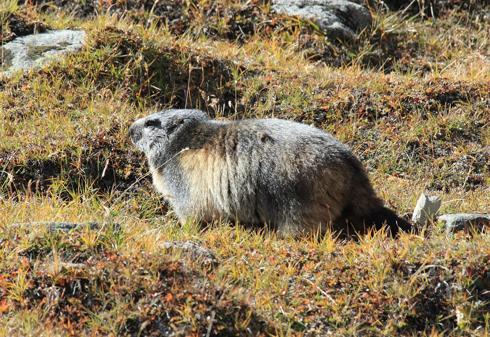
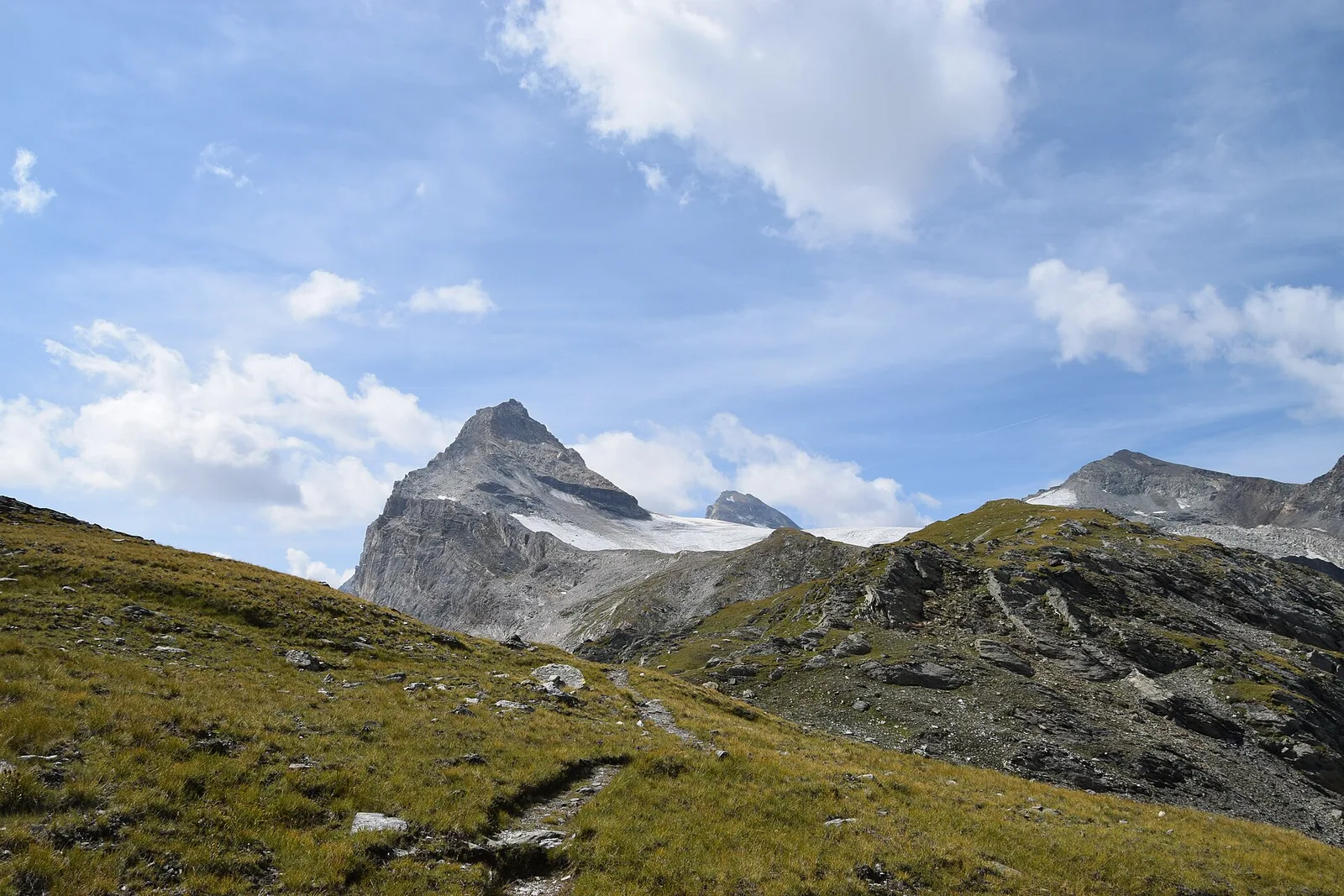
72 trails where Alpine forget-me-not is listed in flora/fauna: difficulty E–EE, elevation gain 0–1948 m.
72 · 1.7–14.2 km · +0–1948 m
Val d'Ayas
Commune of Ayas: an EE climb toward the high ground of the Vallone delle Cime Bianche.
Val Ferret
2.2 km · +291 m · E — from Arp-Nouva to Rif Elena (Great St Bernard Valley).

Val di Cogne
2.3 km · +498 m · E — from Arpisson to Col Chasèche (Lys Valley).
Val di Rhêmes
2.9 km · +535 m · E — from Artalle to Chaussettaz (Great St Bernard Valley).
Valle centrale
7.7 km · +1065 m · EE — from Bellon to Tsa de la Comba (Valgrisenche).
Val di Cogne
3.1 km · +346 m · E — from Belvedere to Sentiero Natura (Lys Valley).
Val di Cogne
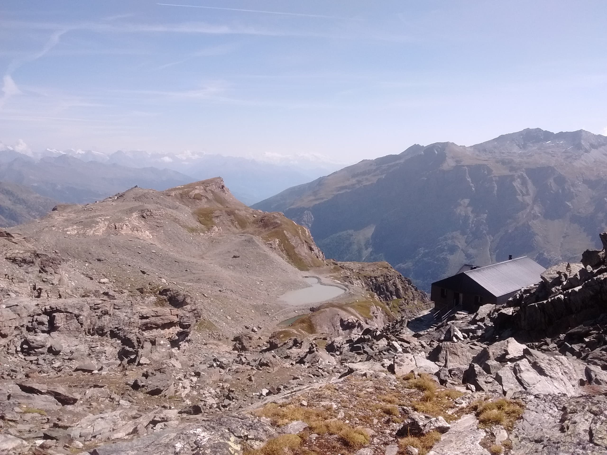
3.5 km descent from Bivacco Gontier (2266m) to Arpissonnet PNGP shelter (1996m): connector trail in Gran Paradiso National Park, July–August.
Valle del Gran San Bernardo
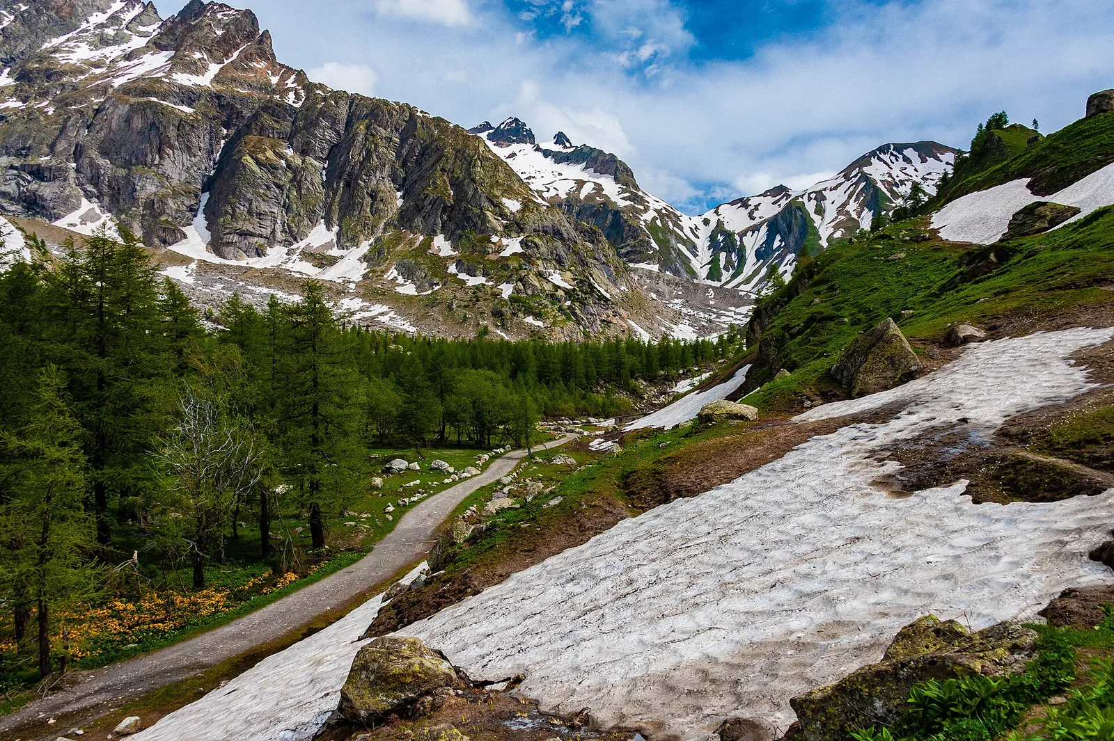
A short climb through alpine pastures to the Col Citrin (2487 m), a panoramic watershed facing Velan, Gelé and the Grand Combin.
Val di Rhêmes
2.6 km · +472 m · E — from Bruil to Chaussettaz (Great St Bernard Valley).
Valle del Gran San Bernardo
6.5 km · +1197 m · E — from Buthier to Pointe Chaligne (Central Valley).

Valle del Gran San Bernardo
6.5 km · +1197 m · E — from Buthier to Punta Chaligne (Central Valley).

Val di Rhêmes
2.9 km · +551 m · E — from Carré to Chaussettaz (Great St Bernard Valley).
Valle centrale
2.6 km · +874 m · E — from Cerise to Bec Tolomon (Lys Valley).
Valtournenche
2.2 km · +371 m · E — from Champtorné to Collet (Valpelline).
Val di Rhêmes
2.2 km · +508 m · E — from Chanavey to Chaussettaz (Great St Bernard Valley).

Valtournenche
4.6 km · +391 m · E — from Champtorné to Collet (Valpelline).
Valle centrale
5.4 km · +1018 m · EE — from Chardonney to Mont de Corquet (Lys Valley).
Valle centrale
5.2 km · +959 m · E — from Via Chanoux to Promiod (Valdigne).
Val di Cogne
4.3 km · +660 m · E — from Cogne to Belvedere (Lys Valley).
Bassa Valle
14.2 km · +1948 m · E — from Crest-Désot to Col de Bonze (Champorcher Valley).
Valle del Lys
1.7 km · +20 m · E — from Leschelbalmo to Leschelbode (Champorcher Valley).

Valtournenche
8 km · +512 m · E — from Etirol to Château (Valpelline).
Valtournenche
9.8 km · +1219 m · E — from Etirol to Fenêtre de Tsan (Valpelline).

Valle del Lys
8.6 km · +1458 m · EE — from Fontainemore to Col de Chardon (Lys Valley).
Valle del Lys
7.8 km · +1429 m · E — from Capoluogo to Col de Gragliasca (Lys Valley).
Valle del Lys
8.8 km · +1503 m · E — from Fontainemore to Colle della Barma d'Oropa (Lys Valley).
Valle del Lys
8.8 km · +1510 m · E — from Capoluogo to Colle della Barma d'Oropa (Lys Valley).
Valle centrale
5.8 km · +766 m · E — from Fonteil to Croce di Fana (Rhêmes Valley).
Val di Cogne
From Gimillan to Lac Money (trail 8C), Cogne: 5.8 km, +813 m, E. A lonely lake below Punta Money.
Val di Cogne
10.8 km · +1142 m · E — from Gimillan to Pas des Invergneux (Lys Valley).
Valle centrale
5.6 km · +1032 m · E — from Grand Haury to Cou (Lys Valley).
Valle del Lys
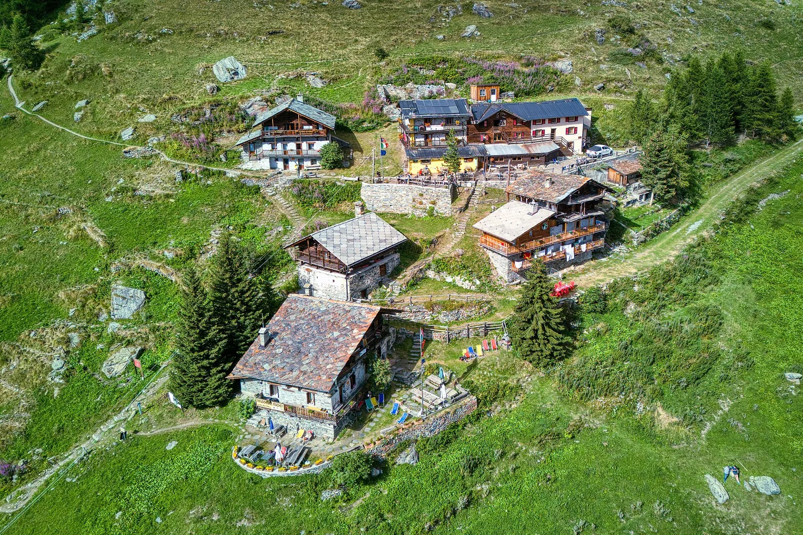
In the commune of Brusson, Val d'Ayas: an E-rated route among hamlets and pastures with characteristic valley views.
Valle del Lys
From the medieval castle ruins at Graines (1,398 m) to the Col de Frudière (2,266 m) in Val d'Ayas: 7.7 km blending history and open alpine landscape.
Valle del Lys
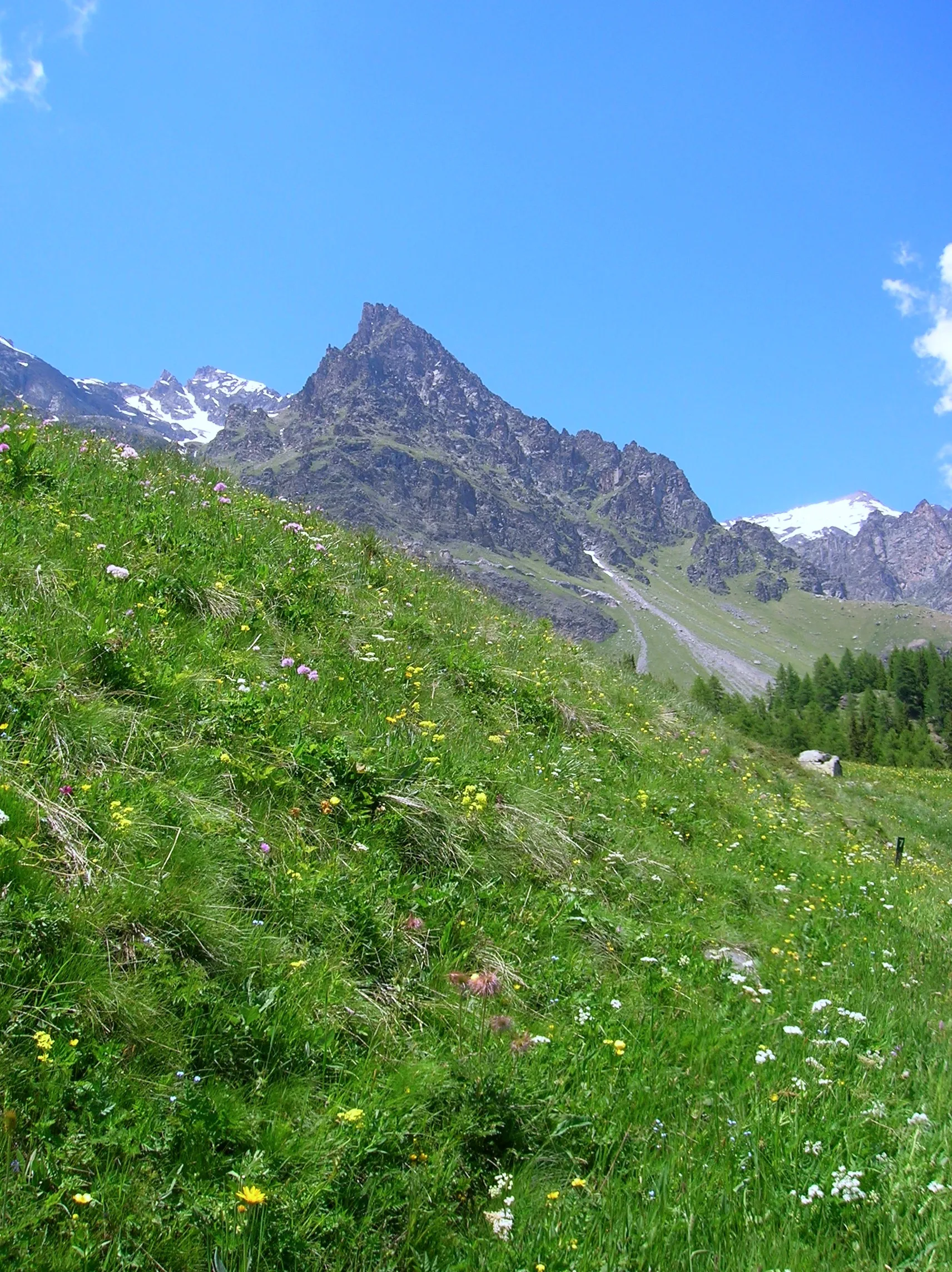
Upper Val d'Ayas, Brusson: a route through high-altitude meadows and rock.
Val Ferret
3 km · +536 m · E — from La Remisa to Gioè damon (Great St Bernard Valley).
Valle centrale
4.5 km · +951 m · E — from Lac d'Arpy to Mont Cormet (Central Valley).
Valle centrale
2.6 km · +728 m · E — from Lac du Joux to Pointe Aouillette (Central Valley).
Valle del Lys
2.8 km · +802 m · E — from Lihrla to Alpe Grignatz (Great St Bernard Valley).
Val di Cogne
13.7 km · +1295 m · E — from Lillaz to Col Pontonnet (Lys Valley).
Val di Cogne
3.6 km · +828 m · E — from Lillaz to Grand Crot (Lys Valley).

Valle del Lys
7.7 km · +1043 m · E — from Loomatto to Passo di Lazoney (Champorcher Valley).
Valgrisenche
2.3 km · +650 m · E — from Melignon to Féleumaz (Central Valley).
Valle di Champorcher
9.8 km · +1837 m · EE — from Monteil to Le Give (Valtournenche).
Valle del Lys
3.3 km · +668 m · E — from Niel to Col de Chaparelle (Great St Bernard Valley).
Valle del Lys
4.3 km · +840 m · E — from Ondro Verdebio to Bronne (Champorcher Valley).
Valle centrale
5.9 km · +1385 m · E — from Oveillan to Tsa de Metz (Valgrisenche).
Val di Cogne
4.8 km · +398 m · E — from Pila to Plan de l'Eyvie (Lys Valley).

Valle del Lys
5.3 km · +815 m · E — from Plan Coumarial to Rifugio Coda (Lys Valley).
Val Veny
1.9 km · +450 m · E — from Plan Ponquet to Col Checrouit (Great St Bernard Valley).
Val Veny
2.9 km · +283 m · EE — from Pont Combal to Ghiacciaio del Miage quota 2260 (Great St Bernard Valley).
Val Veny
3.1 km · +235 m · E — from Pont Combal to Rifugio Elisabetta (Great St Bernard Valley).
Valle del Gran San Bernardo
6.2 km · +904 m · E — from Prenoud to Tête du Bois (Great St Bernard Valley).
Valle del Lys
2.6 km · +518 m · EE — from Rifugio Arp to Punta Valfredda (Ayas Valley).
Valgrisenche
5 km · +800 m · E — from Rifugio Benevolo to Col Bassac Déré (Great St Bernard Valley).

Valle centrale
3 km · +715 m · E — from Robbio to Grand Bellalanaz (Lys Valley).
Valpelline
2.9 km · +570 m · E — from Ru to Plan Faudery (Valpelline).
Valle del Gran San Bernardo
2.7 km · +185 m · E — from Saint-Oyen to Saint-Léonard (Great St Bernard Valley).
Bassa Valle
3.8 km · +1070 m · E — from Saint-Roch to La Borney (Central Valley).
Valle di Champorcher
3.4 km · +478 m · E — from Strada Dondena to Raty desot (Valtournenche).
Valle del Lys
3.5 km · +723 m · E — from Strada per Tschalvrino to Col Ranzola (Champorcher Valley).
Valle centrale
11.7 km · +1707 m · E — from Stradina Chateau de Quart to Croce di Fana (Rhêmes Valley).
Valle del Lys
7.5 km · +1317 m · EE — from Sassa to Rifugio Coda (Central Valley).
Valle del Lys
8.7 km · +0 m · E — from Rifugio Coda to Rifugio della Barma (Lys Valley).
Val di Cogne
In the Val di Cogne, Aymavilles: an E-rated climb through forest and alpine pastures in the Gran Paradiso National Park.
Valgrisenche
4.2 km · +582 m · E — from Valgrisenche to Arp Vieille (Valtournenche).
Valpelline
6.1 km · +1467 m · E — from Montcorvé to Col Arpeyssaou, biv. La Lié (Valtournenche).
Valle centrale
4.8 km · +719 m · EE — from Verrogne to Becca France (Central Valley).
Valle di Champorcher
7 km · +910 m · E — from Veulla to Rifugio Barbustel (Central Valley).
Valle centrale
A steep climb from Vieyes to Col de Becca Plana, at 2,266 metres: from the valley floor to the high pastures in just under five kilometres.
Valle centrale
6.8 km · +1219 m · E — from Villair to Tête de Bernarde (Great St Bernard Valley).
Valle del Lys
3.5 km · +533 m · E — from Weissmatten to Passo Frudière (Champorcher Valley).
Valle del Lys
4 km · +1011 m · E — from Zer Trino to Passo Frudière (Champorcher Valley).