Graines - Col de Frudière
7.7 km
+912 m
−0 m
4 h
Nivel físico
Mapa y ruta
Traza GPX — verifica sobre el terreno antes de caminar
Descripción
Puntos clave
Salida
Graines · 1398 m
Llegada
Col de Frudière · 2266 m
Sendero
S24
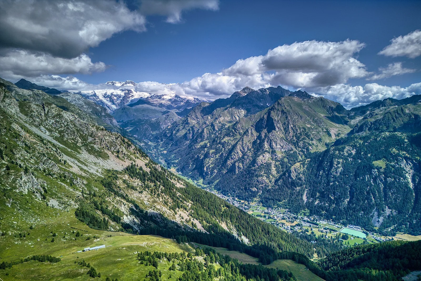
Trail 12_S24 departs from the medieval hamlet of Graines at 1,398 m and climbs to the Col de Frudière at 2,266 m: 7.7 km and 912 m of ascent, rated E (CAI scale). Graines is a site of historical interest in the municipality of Brusson, Val d'Ayas, with the ruins of a medieval castle marking the start of the route. From this culturally significant point the trail extends through alpine pastures, with 9 waymarks. The Col de Frudière opens views over the upper Val d'Ayas. Season: June to September.
Aparcamiento
Galería de fotos
Photos are published immediately. JPG/PNG/WebP, max 6 MB.
Flora del sendero
Fauna que observar
AEditado y verificado por Andrea Rama
Fuente de datos: Catasto Sentieri Regione Autonoma VdA · Open data — DGR 899/2014
Última verificación:
Valle del Lys
Senderos relacionados
Mismo valle o rutas similares — más excursiones por descubrir.

Valle del Lys
Anello dei Gemelli della Mologna
8.9 km · +996 m · EEA — from Niel to Niel (Great St Bernard Valley).

Valle del Lys
Balmeto - Leck Albezò
1.2 km · +287 m · E — from Balmeto to Leck Albezò (Champorcher Valley).

Valle del Lys
Bino - Passo di Valnera
4.5 km · +1280 m · E — from Bino to Alpe Jatza (Champorcher Valley).

Valle del Lys
Cascate di Niel
0.6 km · +80 m · E — from Start 7B to Cascate di Niel (Great St Bernard Valley).