
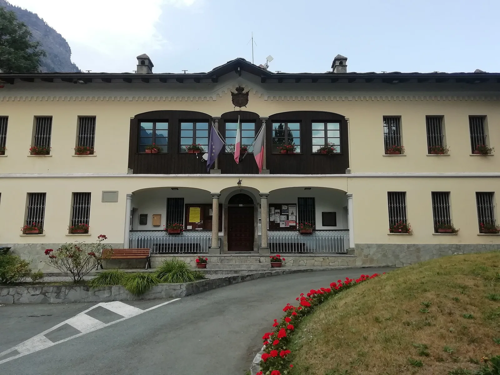
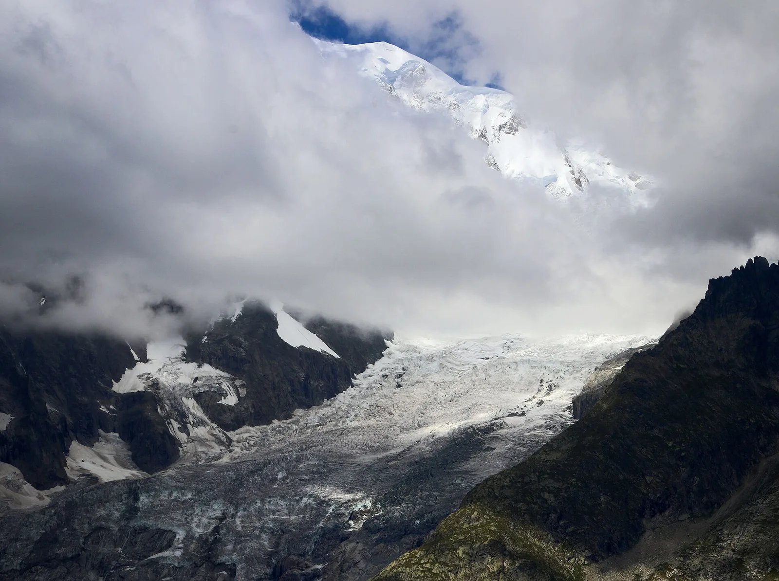
EEA
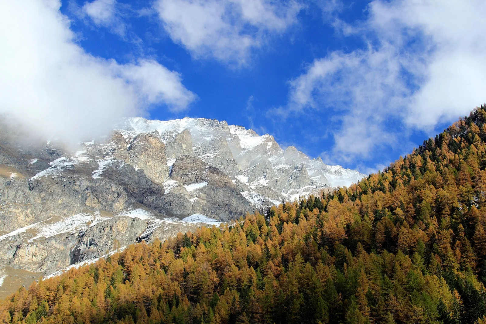
Valle del Lys
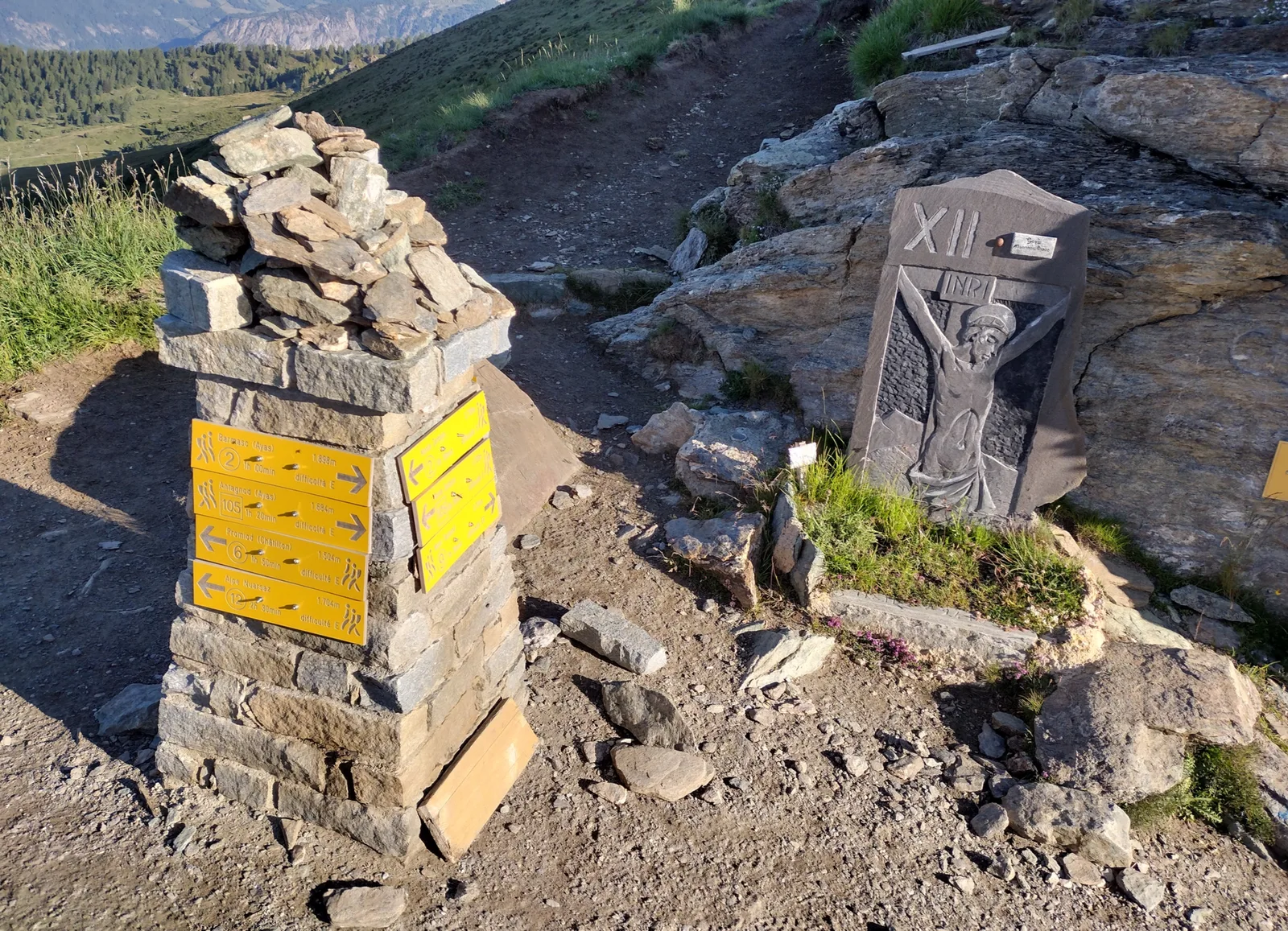
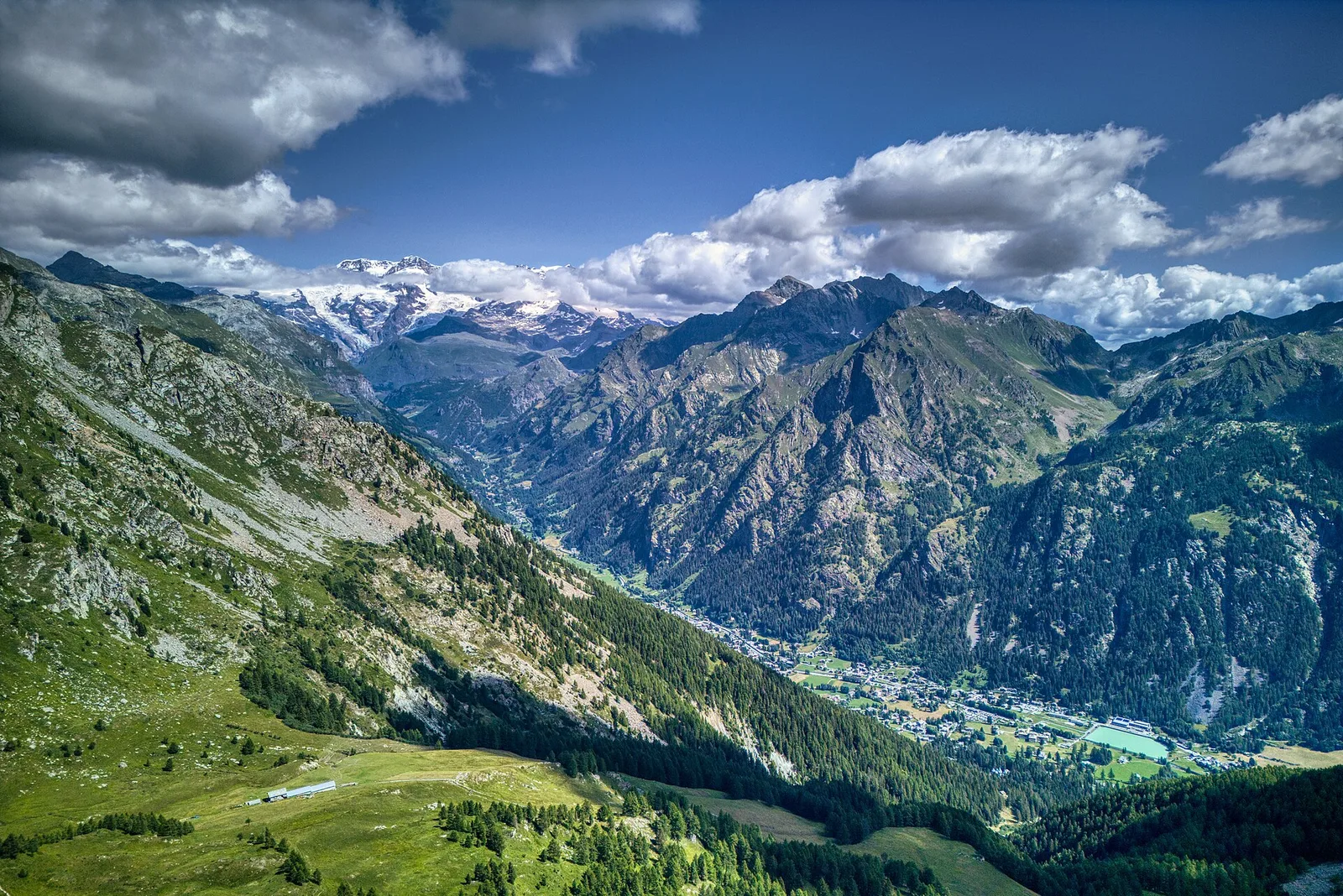
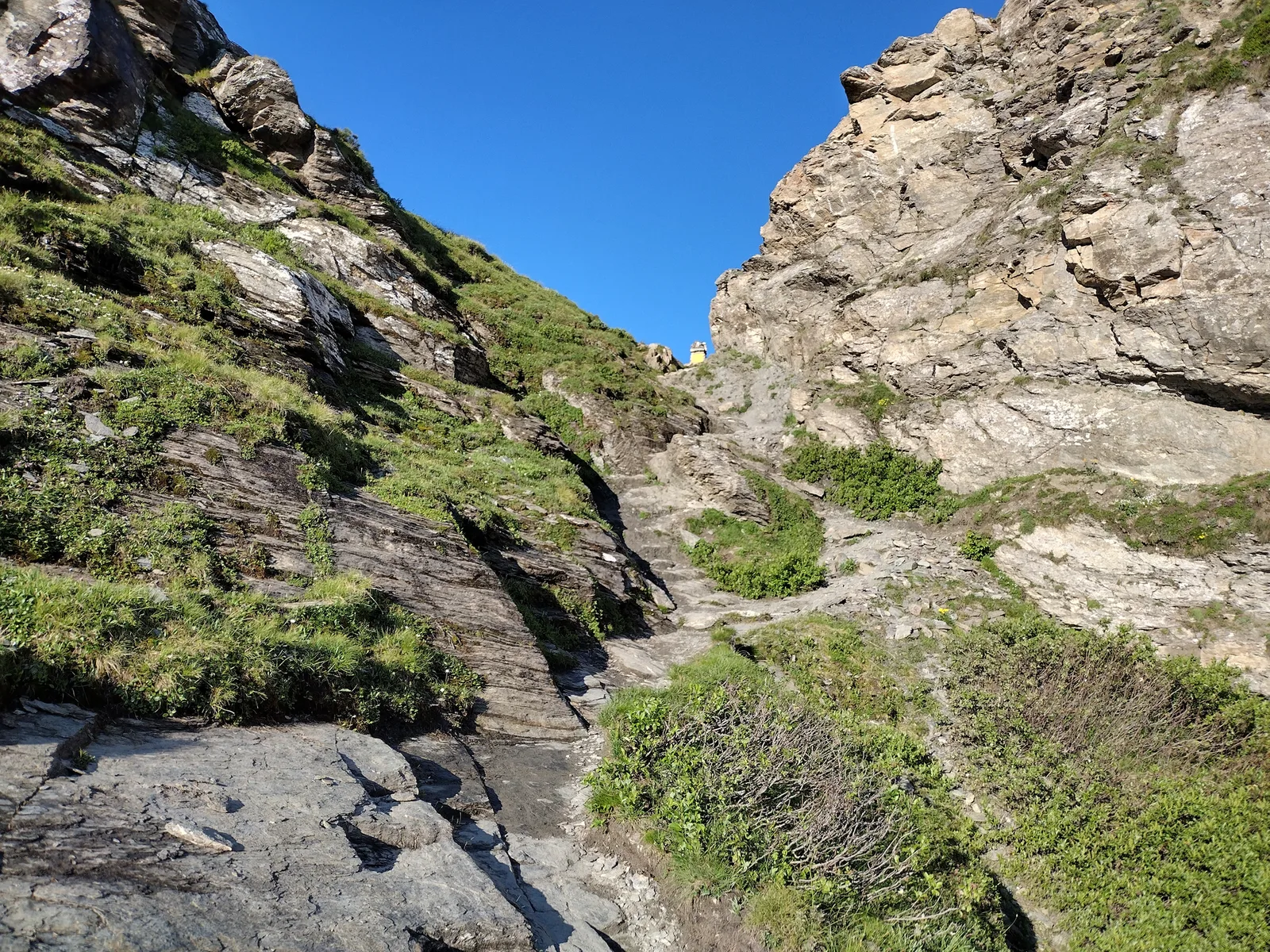
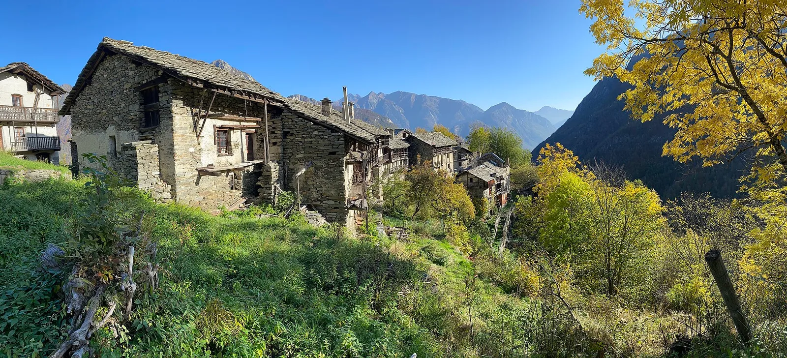
Anello dei Gemelli della Mologna
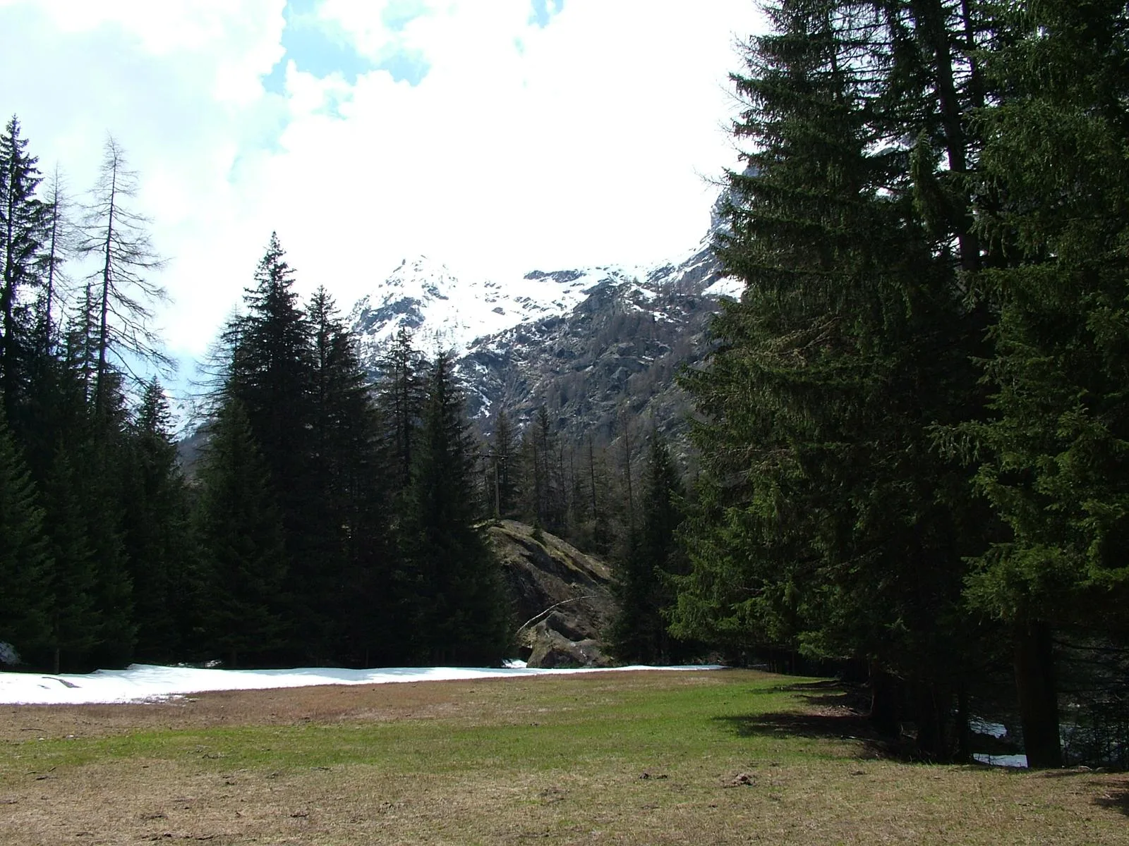
8.9 km · +996 m · EEA — from Niel to Niel (Great St Bernard Valley).
8.9 km+996 m4.5 h
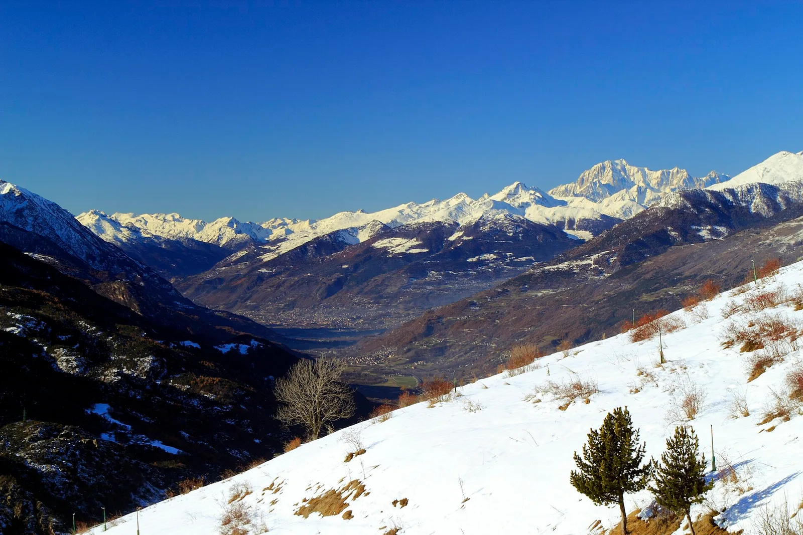
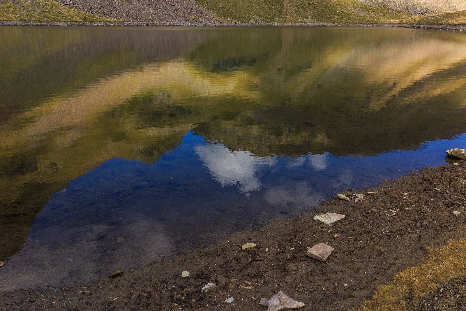
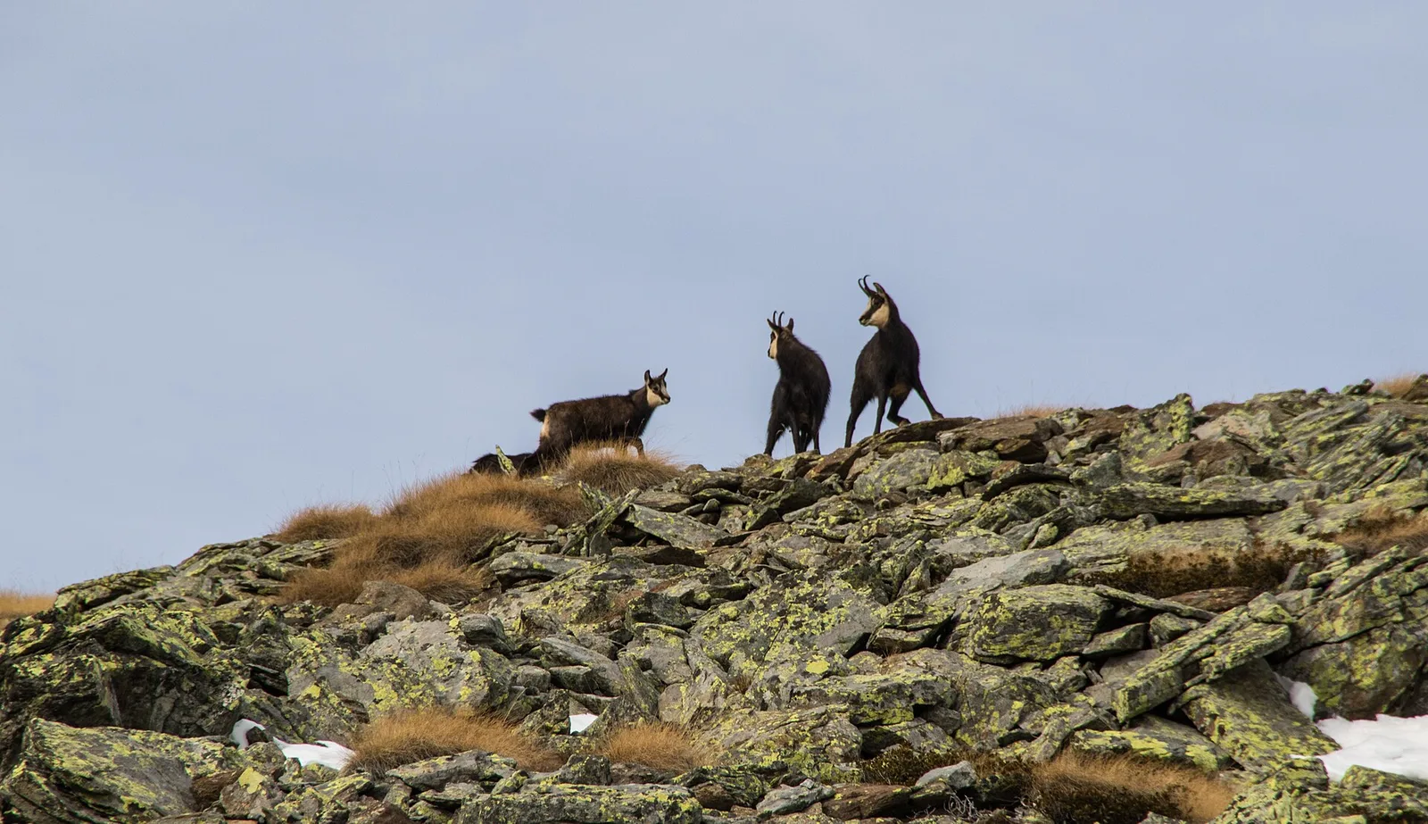
Where to spot
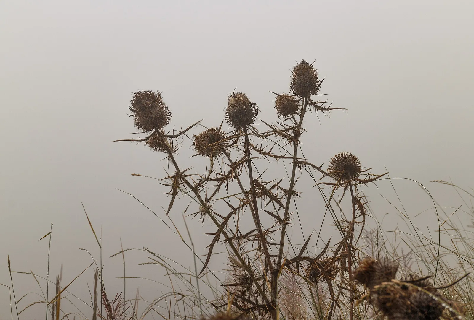
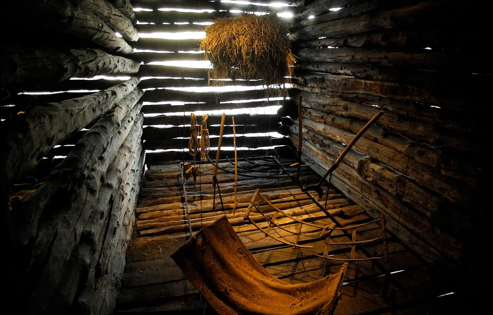
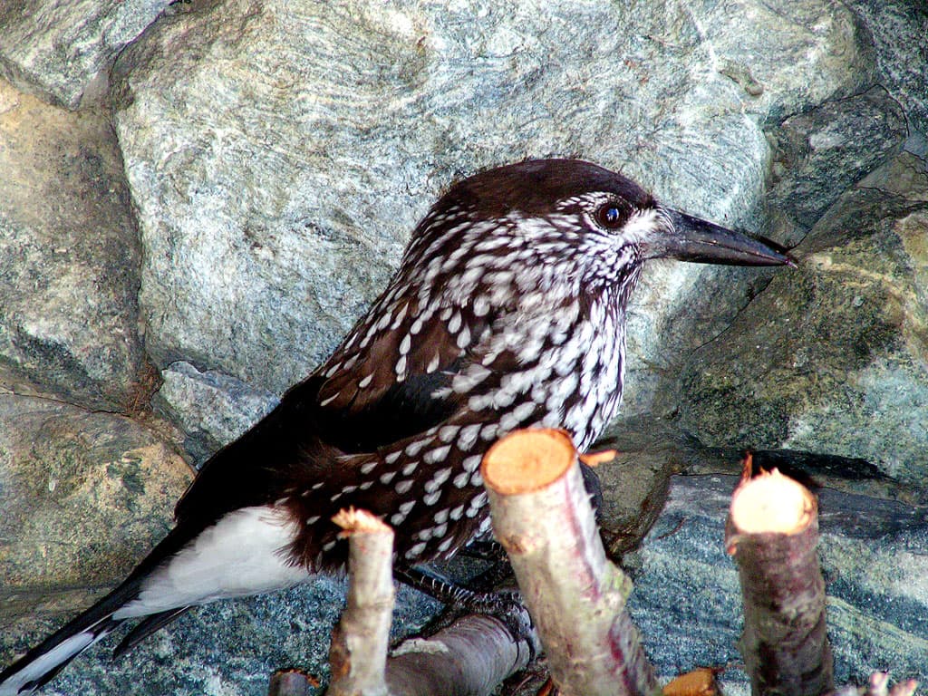
105 trails where Alpine currant is listed in flora/fauna: difficulty T–EEA, elevation gain 0–1861 m.
105 · 0.9–14.3 km · +0–1861 m
Valle del Lys
8.9 km · +996 m · EEA — from Niel to Niel (Great St Bernard Valley).

Val d'Ayas
1.9 km · +78 m · E — from Arbaz to Mont d'Arbaz (Ayas Valley).

Valtournenche
6.4 km · +913 m · E — from Area Pic Nic Champlong to Cima Longhede (Valsavarenche).
Valtournenche
4.7 km · +1021 m · EE — from Artaz to Mont Tantané (Valdigne).
Valle centrale
From Avise to Cerellaz via Ravoire on the sunny Valdigne hillside: 3 km and 479 m through vineyards, woodland and meadows. Part of the Via Alpina.
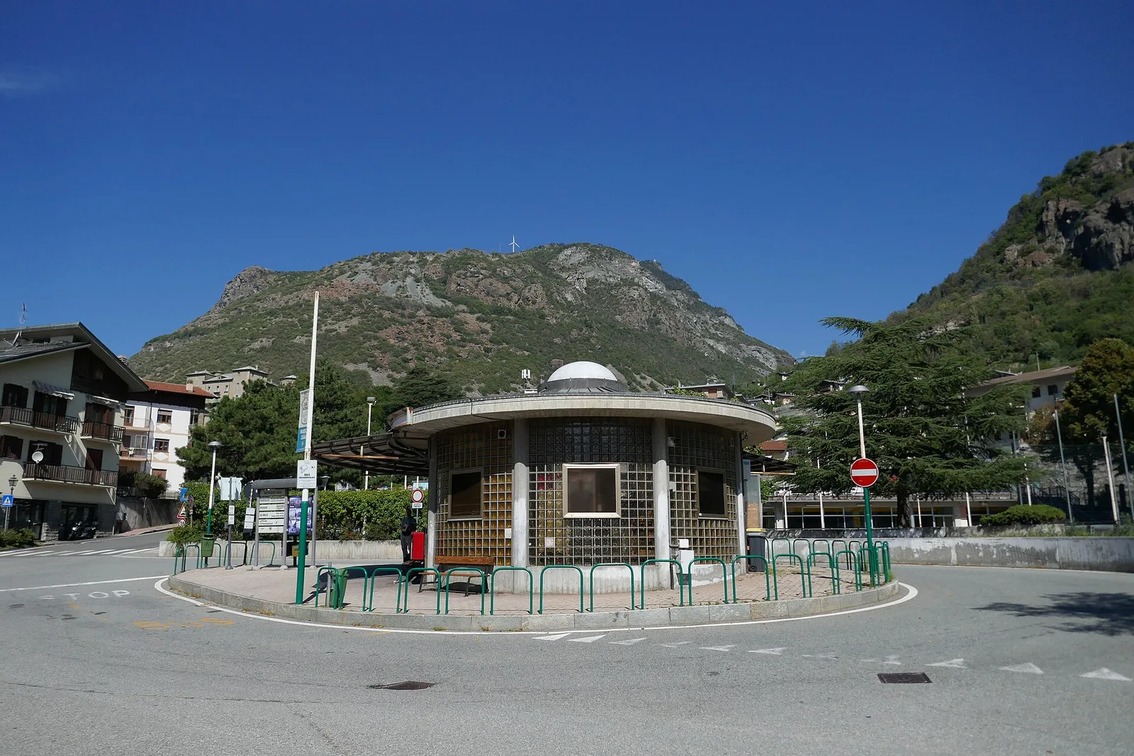
Valle del Gran San Bernardo
2.9 km · +477 m · E — from Ayez to Genevrey (Great St Bernard Valley).
Valle centrale
In the Val di Cogne, commune of Aymavilles: an E-rated climb through forest and alpine pastures in the Gran Paradiso National Park.
Valle centrale
From Aymavilles Moulin (653 m) to Petit Poignon (1562 m) along the Gran Paradiso Park edge: mixed woodland, clearings, and wildlife. 6.2 km, +926 m, E.
Val Veny
8.2 km · +1265 m · E — from Balme to Col d'Arp (Rhêmes Valley).

Valle centrale
7.9 km · +1473 m · E — from Bellecombe to Mont Barbeston (Valdigne).
Bassa Valle
3.9 km · +549 m · E — from Biel to Serra di Biel (Valsavarenche).
Valle centrale
3.7 km · +500 m · E — from Blavy to Grandzette (Valpelline).
Valtournenche
In the commune of Antey-Saint-André, Valtournenche: an E-rated route across sunny slopes, hamlets and pastures.
Valtournenche
Easy walk from Bourg to Brengon (La Magdeleine) through historic Valtournenche hamlets: 3.7 km and just 188 m of ascent. Base for the Brengon-Parapromiat via ferrata.
Valtournenche
7.1 km · +1234 m · EE — from Breuil-Cervinia to Anfiteatro del Furggen (Central Valley).
Val d'Ayas
1.8 km · +422 m · E — from Capiron to Miniera di Herin (Central Valley).
Valle centrale
1.5 km · +327 m · E — from Cerellaz to Cerlogne (Valdigne).
Valle centrale
4.4 km · +543 m · E — from Champlong dessus to Petit-Poignon (Central Valley).
Val d'Ayas
From Champoluc (1,569 m) to the Lacs Perrin (2,649 m) in the upper Ayas Valley: 6 km and 1,147 m of ascent to alpine lakes.
Valle centrale
4.1 km · +768 m · E — from Charrère to Verrogne (Central Valley).
Valle centrale
2.5 km · +477 m · E — from Château to Morges (La Thuile).
Bassa Valle
From the valley floor at Chateau Vallaise (454m) to Saint Anne's chapel (1342m): 4.3 km and 921 m of ascent through vineyards, chestnut groves and woodland on the Avise hillside.
Valle centrale
6.7 km · +1328 m · E — from Chenière to Arpisson (Lys Valley).
Valle centrale
1.7 km · +446 m · E — from Chevrère to Poignon (confine comunale Villeneuve) (Lys Valley).
Valpelline
Chez-Chenoux (1739 m) to Alpe Luseney (2478 m), Valpelline: short, steep ascent into a glacial cirque. 3 km, +775 m, E.
La Thuile
5.2 km · +435 m · E — from Col Saint-Charles to Col de la Croix (Central Valley).
Valle centrale
3.7 km · +418 m · E — from Combelin to Alpe Loe (Or) (Central Valley).
Valpelline
1.3 km · +270 m · E — from Créton to Arp du Bois (Valpelline).
Valsavarenche
5.9 km · +637 m · E — from Degioz to Orvieille (Pavillon royal de chasse) (Ayas Valley).
Valle del Lys
1.7 km · +20 m · E — from Leschelbalmo to Leschelbode (Champorcher Valley).
Valle centrale
4.8 km · +623 m · E — from Echarlod to Morges (La Thuile).
Val d'Ayas
5.9 km · +1028 m · E — from X 1 e 2 to Col de Joux (Valtournenche).
Valle centrale
3.5 km · +774 m · E — from Etavel to Combelin (Central Valley).
Valle del Gran San Bernardo
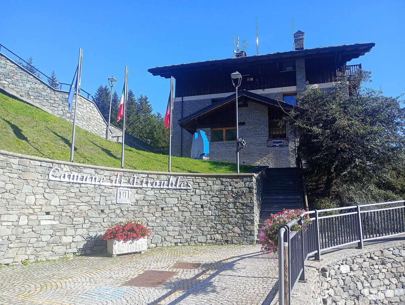
2 km · +288 m · E — from Etroubles to Prailles (Central Valley).
Valsavarenche
5.1 km · +233 m · T — from Fenille to Degioz (Ayas Valley).
Valle del Lys
8.8 km · +1503 m · E — from Fontainemore to Colle della Barma d'Oropa (Lys Valley).
Valle centrale
10.2 km · +1275 m · E — from Fonteil to Grand Pays (Rhêmes Valley).
Valle centrale
4.2 km · +453 m · E — from Fossaz to Cerlogne (Central Valley).
Valle centrale
3.5 km · +432 m · E — from Fossaz to Gerbore (Central Valley).
Valle di Champorcher
2.3 km · +602 m · E — from Frassiney to Borney (Champorcher Valley).
Valsavarenche
1.7 km · +291 m · E — from Frassiney to Verrogne (Central Valley).

Valle del Lys
2.7 km · +496 m · E — from Gaby to Bounitzon (Great St Bernard Valley).
Valle del Lys
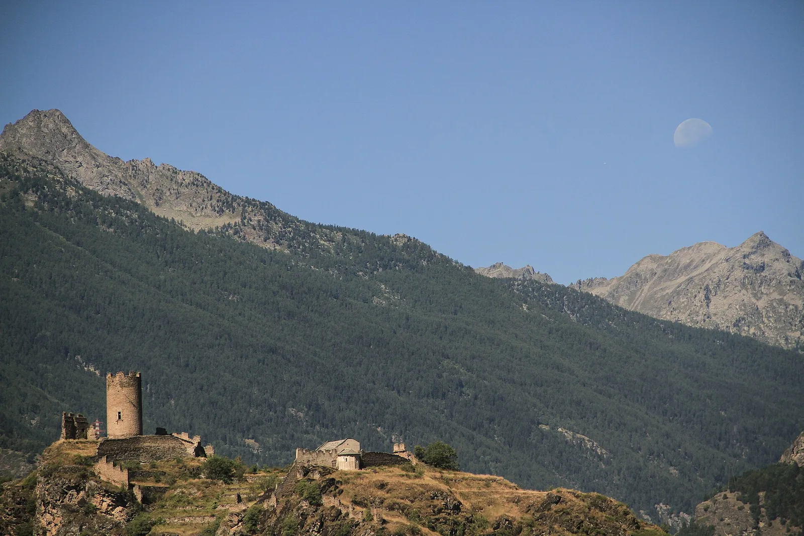
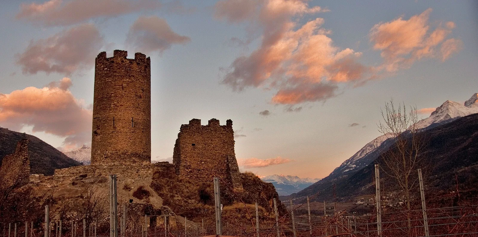
From the medieval castle ruins at Graines (1,398 m) to the Col de Frudière (2,266 m) in Val d'Ayas: 7.7 km blending history and open alpine landscape.
Val d'Ayas
4.4 km · +110 m · T — from Col di Joux to Col Tzecore (Valtournenche).
Valtournenche
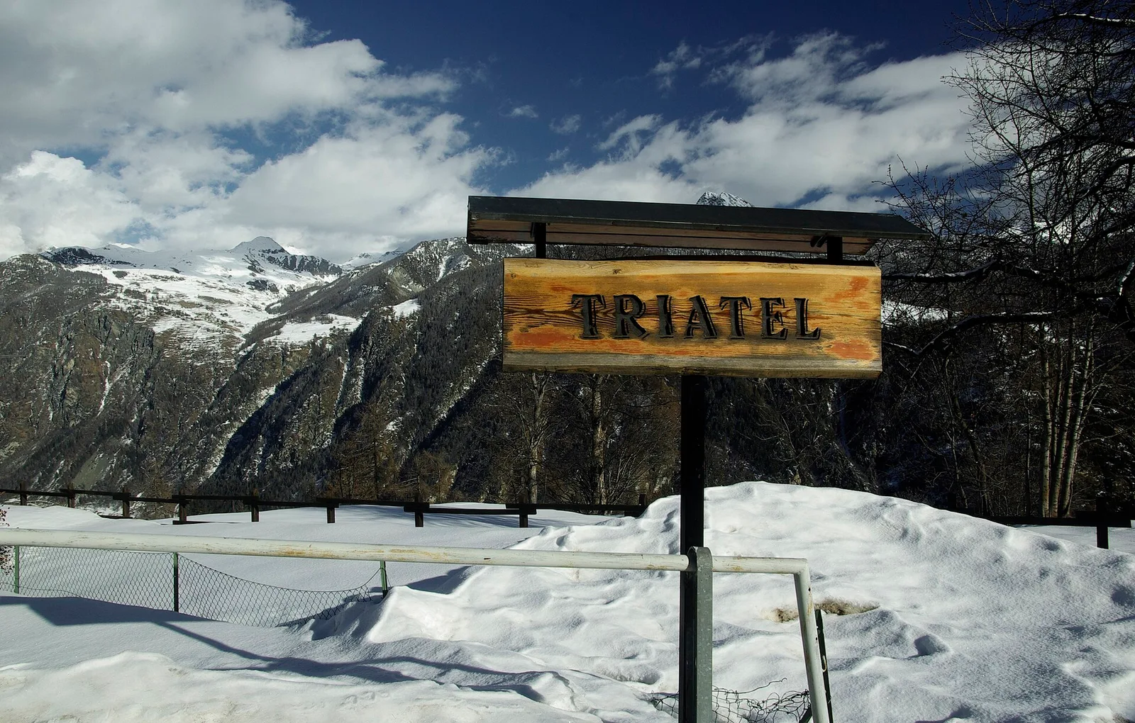
2.3 km · +557 m · E — from Grand Moulin to Triatel (Valtournenche).
Valle del Gran San Bernardo
A well-signed climb above the Jovençan alps to Col de Vertosan, at 2,698 metres, a pastoral balcony between Avise and the Great St Bernard valley.
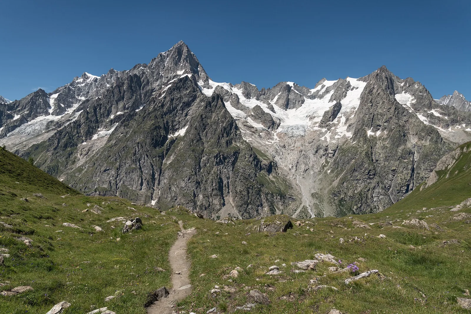
Val Ferret
1.5 km · +308 m · EE — from La Saxe to Belvedere (Great St Bernard Valley).
La Thuile
8.9 km · +968 m · E — from La Thuile, Thovex to Rifugio Deffeyes (Lys Valley).
Valle centrale
6.8 km · +1331 m · E — from Lazey, innesto strada sterrata to Col de la Crosatie (La Thuile).
Valpelline
9.2 km · +1563 m · E — from Closé to Colle Vessona (Lys Valley).

Valle di Champorcher
5.9 km · +804 m · EE — from Le Crin to La Tramouaille de la Rossaz (Lys Valley).
Valle centrale
0.9 km · +97 m · E — from Les Fabriques to Lignan (Valpelline).
Valpelline
2.6 km · +240 m · E — from Lessert to Le Moulin (Valpelline).
Valle centrale
2.9 km · +0 m · E — from Lignan to Arlod (Valpelline).
Val d'Ayas
1.1 km · +260 m · E — from Lignod to Barmasc (Central Valley).
Val d'Ayas
In the Val d'Ayas, commune of Ayas: a steady E-rated climb toward a high-altitude objective on well-marked terrain.
Val di Cogne
13 km · +1321 m · EE — from Lillaz to Col des Eaux-Rousses (Lys Valley).
Bassa Valle
3.9 km · +830 m · E — from Marine to Col Fênetre (Central Valley).
Val Ferret
9 km · +998 m · E — from Mayencet to Tête de Bernarde (Great St Bernard Valley).
Valle centrale
4.1 km · +892 m · E — from Moline to Brein (Lys Valley).
Valle del Lys
6.3 km · +822 m · E — from Obre Eselbode to Rifugio Gabiet (Lys Valley).
Valle del Lys
4.9 km · +1393 m · EE — from Obrò Biela to Passo di Rissuolo (Champorcher Valley).
Valpelline
5.1 km · +1127 m · E — from Capoluogo to Col Brison (Valpelline).
Valle del Lys
4.8 km · +786 m · E — from Onderwoald to Col Ranzola (Champorcher Valley).
Val d'Ayas
3 km · +493 m · E — from Orbeillaz to Col Tzecore (Ayas Valley).
Valle di Champorcher
3.6 km · +478 m · E — from Outre l'Eve to Borney (Valtournenche).
Valle di Champorcher
6.9 km · +1248 m · E — from Outre l'Eve to Col Santanel (Valtournenche).
Valtournenche
3 km · +504 m · E — from Pâquier to Servaz (Central Valley).
Valtournenche
4.7 km · +818 m · E — from Parcheggio Porliod to Mont Morion (Valpelline).
Valle del Lys
1.7 km · +471 m · E — from Pianatz to Kocia (Great St Bernard Valley).
Valle centrale
3.4 km · +635 m · E — from Plout to Druges (Great St Bernard Valley).
Valle centrale
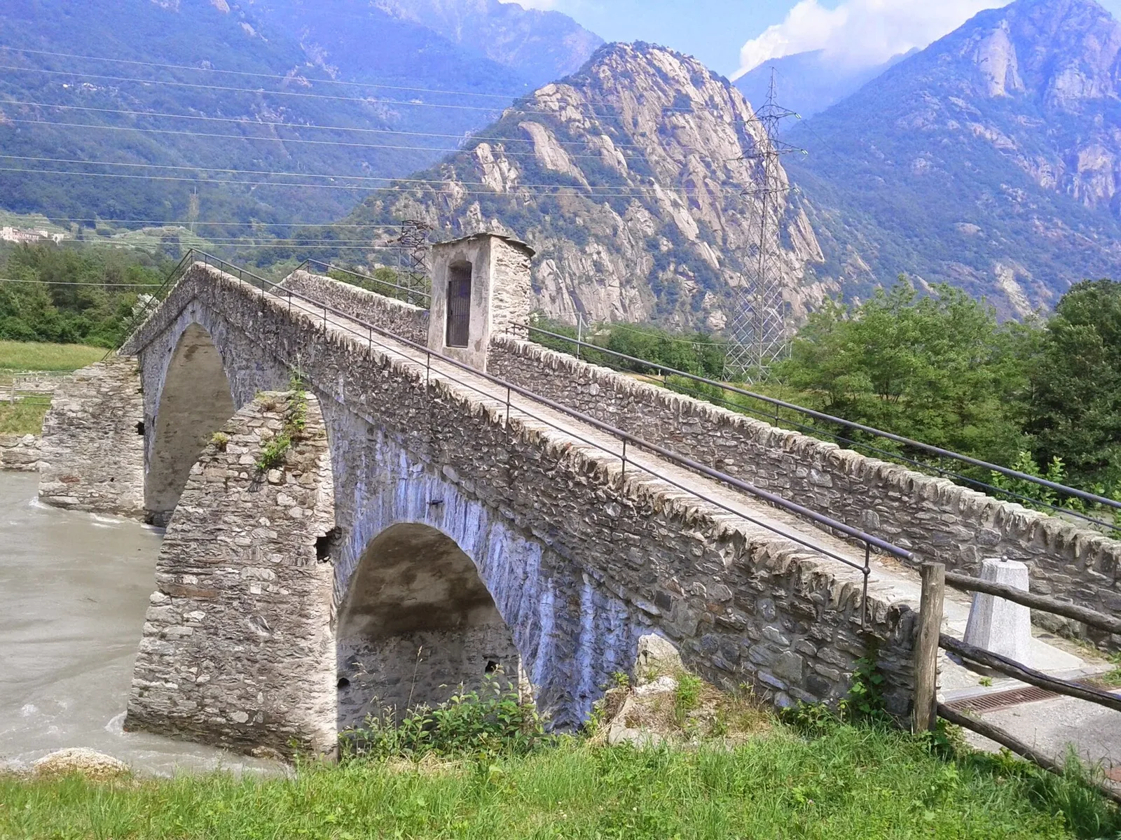
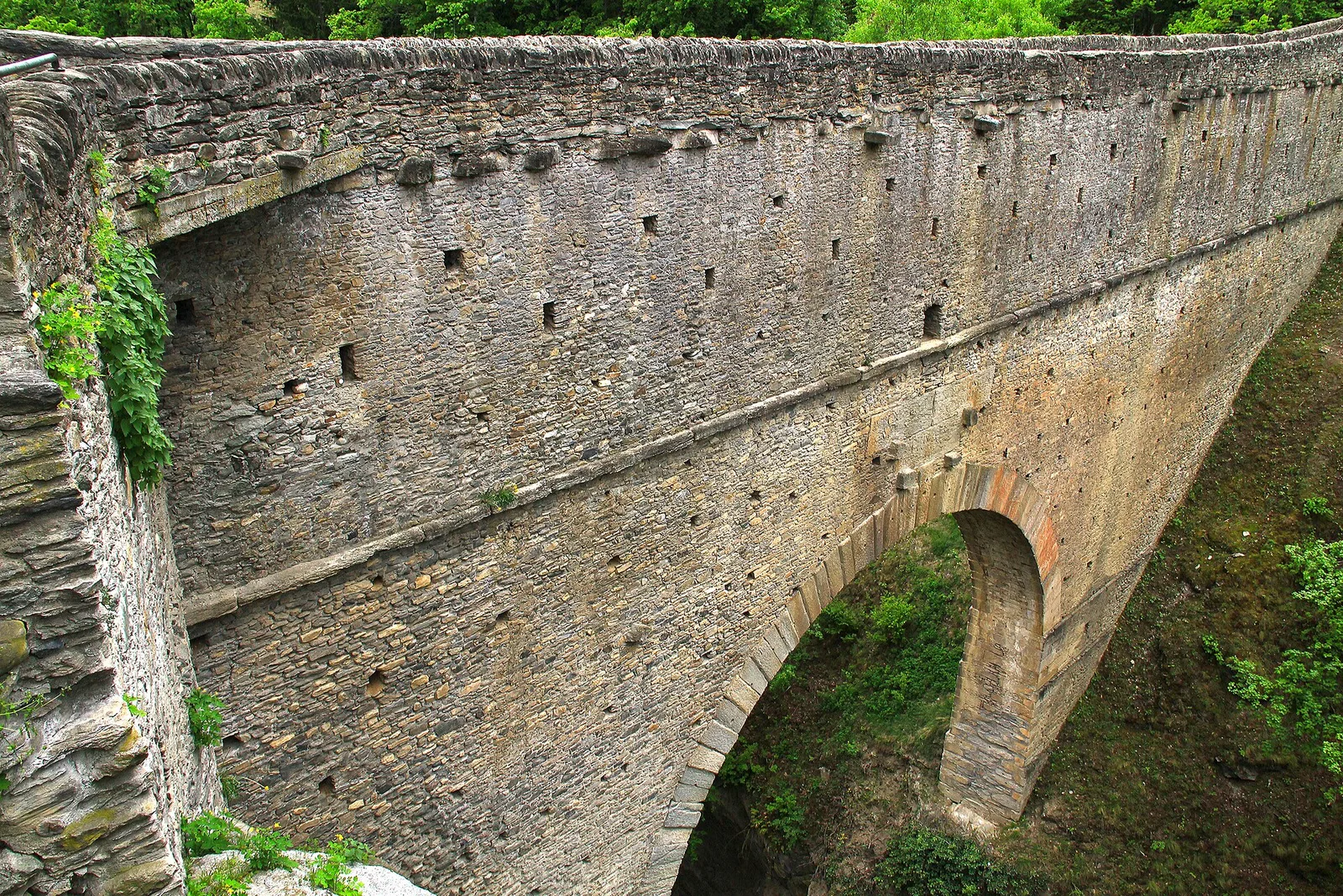
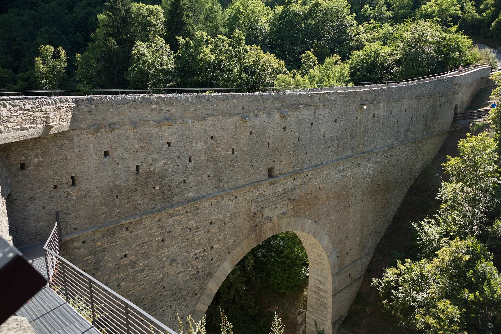
From the Roman Pont d'Ael (3 BC) at Pondel, a sustained climb into the wild Grand Eyvia valley to the quiet alp of Petit Poignon.
Valle del Lys
1.8 km · +448 m · E — from Posa to Saroun (Lys Valley).
Valtournenche
1.4 km · +500 m · E — from Poutaz to Triatel (Valtournenche).
Valtournenche
2.7 km · +556 m · E — from Confine comunale Antey -Torgnon to Triatel (Valpelline).
Valle del Gran San Bernardo
4.8 km · +1156 m · E — from Prenoud to Grande Tête (Great St Bernard Valley).
Valtournenche
3.1 km · +199 m · E — from Promiod to Brengon (Valdigne).
Val d'Ayas
4.7 km · +742 m · E — from Quinçod to Leuriaz (Ayas Valley).
Valgrisenche
3.1 km · +480 m · E — from Confine comunale Arvier, Revers to Borègne (Valtournenche).
Val di Rhêmes
5.4 km · +889 m · E — from Rifugio Benevolo to Col Rosset (Great St Bernard Valley).
Valle del Gran San Bernardo
1 km · +250 m · E — from Saint-Oyen to Eternod (Great St Bernard Valley).
Valle del Gran San Bernardo
5.9 km · +837 m · E — from Saint-Rhémy to Colle del Gran San Bernardo (Central Valley).
Bassa Valle
4.8 km · +1070 m · E — from Saint-Roch to La Borney (Central Valley).
Valle centrale
2.1 km · +740 m · EE — from Servettaz to Druges (Lys Valley).
Valle del Lys
6.4 km · +1355 m · E — from Staffal to Alta Luce (Hochliecht) (Lys Valley).
Valle di Champorcher
3.4 km · +478 m · E — from Strada Dondena to Raty desot (Valtournenche).
Valle centrale
14.2 km · +1342 m · E — from Saint-Vincent to La Magdeleine (Valtournenche).
Valle del Gran San Bernardo
14.3 km · +0 m · E — from Rifugio Champillon to Capoluogo (Valtournenche).
Val Ferret
7.6 km · +0 m · E — from Rifugio Frassati to Rifugio Bonatti (Central Valley).
Valle centrale
6 km · +977 m · E — from Terme to Col de Joux (Valtournenche).
La Thuile
2.6 km · +97 m · E — from Thovex to Granges (Lys Valley).
Valle centrale
6.4 km · +1110 m · E — from Tillier to Druges (Lys Valley).
Valpelline
A scenic loop above Bionaz, from La Culoz via Mont Echeut and Sevey: 1,200 metres of ascent among alps and balconies over Valpelline.
Valpelline
4.1 km · +598 m · E — from Capoluogo to Billiouque (Valtournenche).

Valle di Champorcher
5.7 km · +1300 m · E — from Fournier to Mont Digny (Champorcher Valley).
Valle di Champorcher
6.2 km · +1184 m · E — from Varesa to Buriana (Champorcher Valley).

Valle di Champorcher
5.2 km · +1722 m · E — from Varesa to Chavanna (Champorcher Valley).
Valle centrale
In the commune of La Salle, Valdigne: an accessible route through mixed forest and pastures with views of Mont Blanc.
Valpelline
8.9 km · +1318 m · E — from Vernosse to Col Vamea (Lys Valley).
Valle centrale
4.1 km · +1205 m · E — from Verrand to Mont Cormet (Rhêmes Valley).
Valle centrale
8.5 km · +1254 m · EE — from Verrogne to Mont de Vertosan (Central Valley).
Valle di Champorcher
9 km · +1861 m · EE — from Veulla to Grand Lac (Central Valley).
Valle di Champorcher
3 km · +279 m · E — from Veulla to Ruderi Alto Forno (Central Valley).
Valle centrale
1.8 km · +249 m · EE — from Villair to Belvedere (Great St Bernard Valley).
Valle centrale
7.3 km · +909 m · E — from Villeneuve to Petit Poignon (Central Valley).