Chateau Vallaise - Saint'Anne
4.3 km
+921 m
−0 m
3.5 h
Nivel físico
Mapa y ruta
Traza GPX — verifica sobre el terreno antes de caminar
Descripción
Puntos clave
Salida
Chateau Vallaise · 454 m
Llegada
Saint'Anne (Echallogne) · 1342 m
Sendero
S7
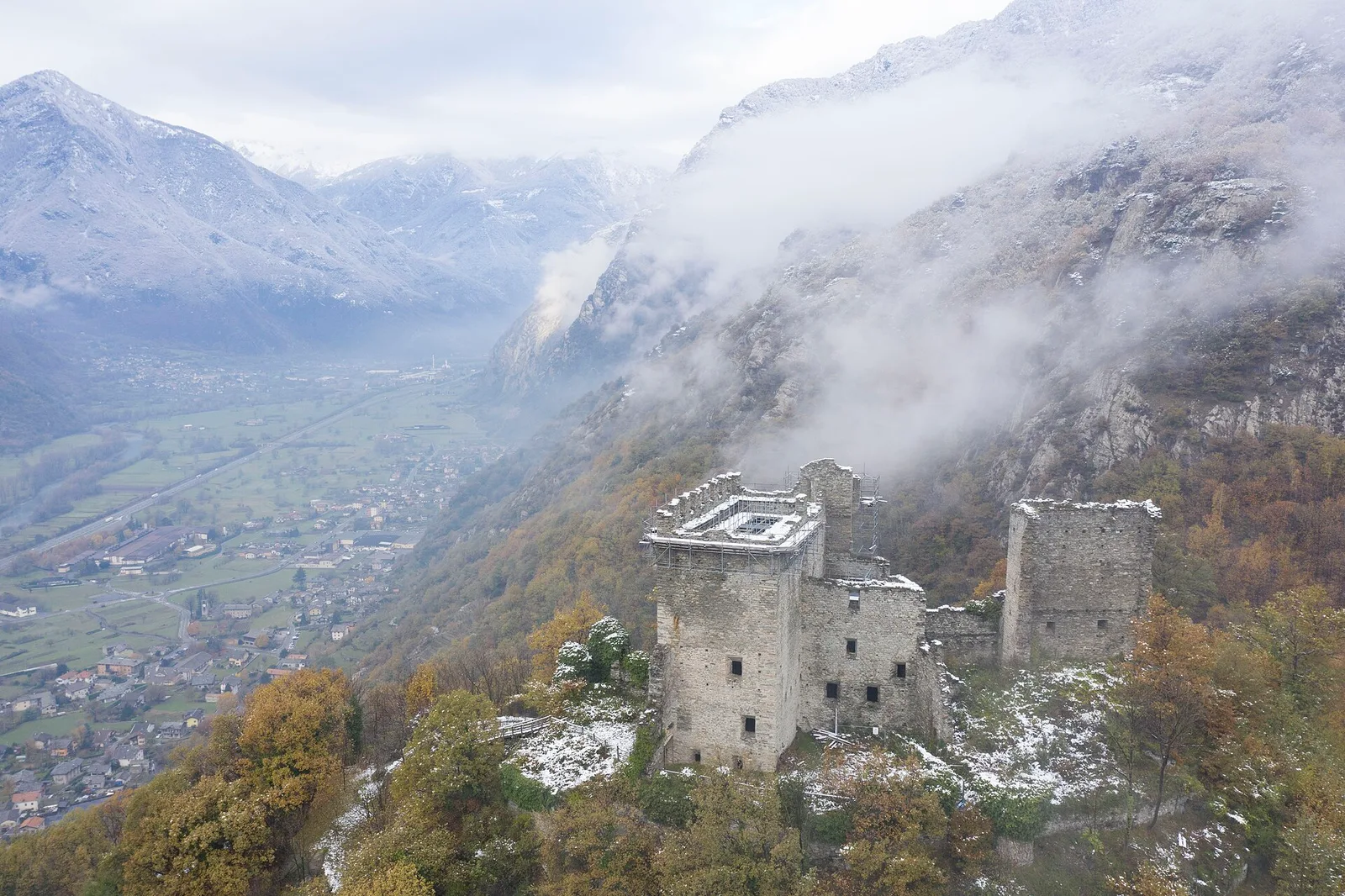
From the valley floor at Chateau Vallaise, just 454 metres above sea level, the trail climbs decisively up the sunny Avise hillside to the chapel of Saint Anne at Echallogne at 1342 metres. The 921-metre elevation gain over 4.3 km makes this one of the most demanding routes of its kind: an almost unbroken ascent crossing the belt of heroic vineyards and chestnut groves at low elevation, then mixed broadleaf woodland in the middle section, finally open meadows near the top. The landscape shifts radically with altitude: from the thermophilic microclimate of the central valley to an open mountain environment with views over the Aosta Valley. The chapel of Saint Anne at the destination is one of the oldest sites of devotion on this hillside. Difficulty E, open May to October.
Aparcamiento
Galería de fotos
Photos are published immediately. JPG/PNG/WebP, max 6 MB.
Flora del sendero
Fauna que observar
AEditado y verificado por Andrea Rama
Fuente de datos: Catasto Sentieri Regione Autonoma VdA · Open data — DGR 899/2014
Última verificación:
Bassa Valle
Senderos relacionados
Mismo valle o rutas similares — más excursiones por descubrir.

Bassa Valle
Arsines - Col Fenetre
A short woodland climb from Arsines, above Arnad, to Col Fenêtre: a scenic pass of the lower Aosta Valley.

Bassa Valle
Bard - Tête de Cou
In the commune of Cogne, Gran Paradiso National Park: a climb toward a high-altitude objective in an environment of exceptional natural quality.

Bassa Valle
Barme - Carogne
1.6 km · +397 m · E — from Barme to Carogne (Valtournenche).

Bassa Valle
Barme - Omens
1.2 km · +284 m · E — from Barme to Omens (Valtournenche).