Aymavilles (Moulin) - Petit Poignon
6.2 km
+926 m
−0 m
4 h
Nivel físico
Mapa y ruta
Traza GPX — verifica sobre el terreno antes de caminar
Descripción
Puntos clave
Salida
Aymavilles (Moulin) · 653 m
Llegada
Petit Poignon · 1562 m
Sendero
S2
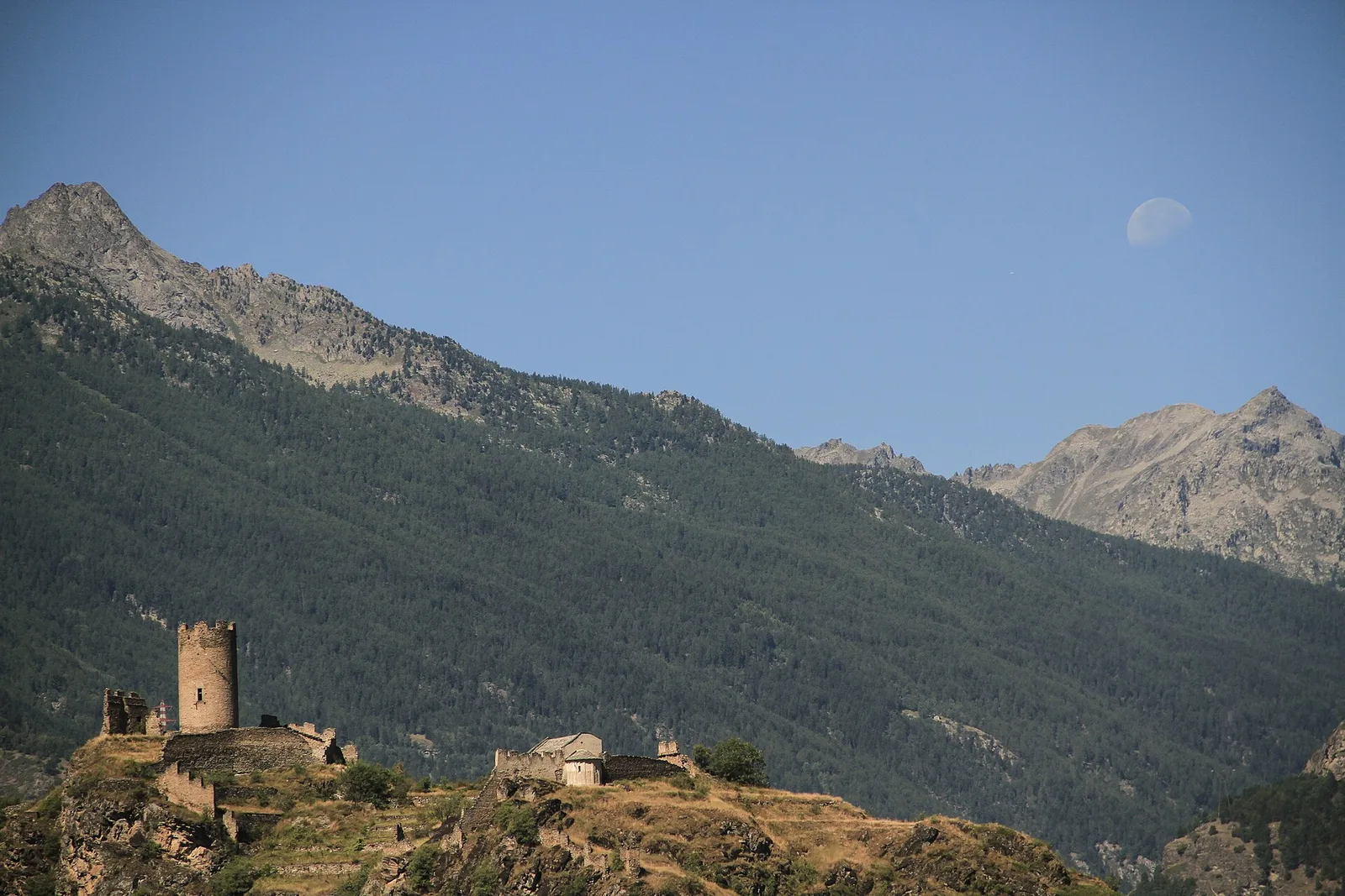
Starting from the Moulin of Aymavilles at 653 m on the southern edge of Gran Paradiso National Park, this 6.2 km trail climbs 926 m to the Petit Poignon at 1562 m. The route ascends through chestnut and beech woodland interspersed with open clearings, traversing a transition zone between the valley floor and the protected park environment. Chamois are regularly spotted on the upper ridges, and raptors use the rock faces for thermals. Rated E, the path presents no technical difficulty.
Aparcamiento
Galería de fotos
Photos are published immediately. JPG/PNG/WebP, max 6 MB.
Flora del sendero
Fauna que observar
AEditado y verificado por Andrea Rama
Fuente de datos: Catasto Sentieri Regione Autonoma VdA · Open data — DGR 899/2014
Última verificación:
Valle centrale
Senderos relacionados
Mismo valle o rutas similares — más excursiones por descubrir.

Valle centrale
Anello del Verrand
2.6 km · +233 m · E — from Château Verrand to Château Verrand (Rhêmes Valley).

Valle centrale
Area giochi Croux - Parleyaz
4.1 km · +476 m · E — from Area giochi Croux to Parleyaz (Central Valley).

Valle centrale
Arlier - Cloutraz (Pontey)
From Arlier (603m) to Cloutraz (1067m) on the Châtillon hillside: 3.5 km E through vineyards, woodland and views over the Dora Baltea.

Valle centrale
Arpilles - Champromenty
2.1 km · +333 m · E — from Arpilles to Champromenty (Lys Valley).