
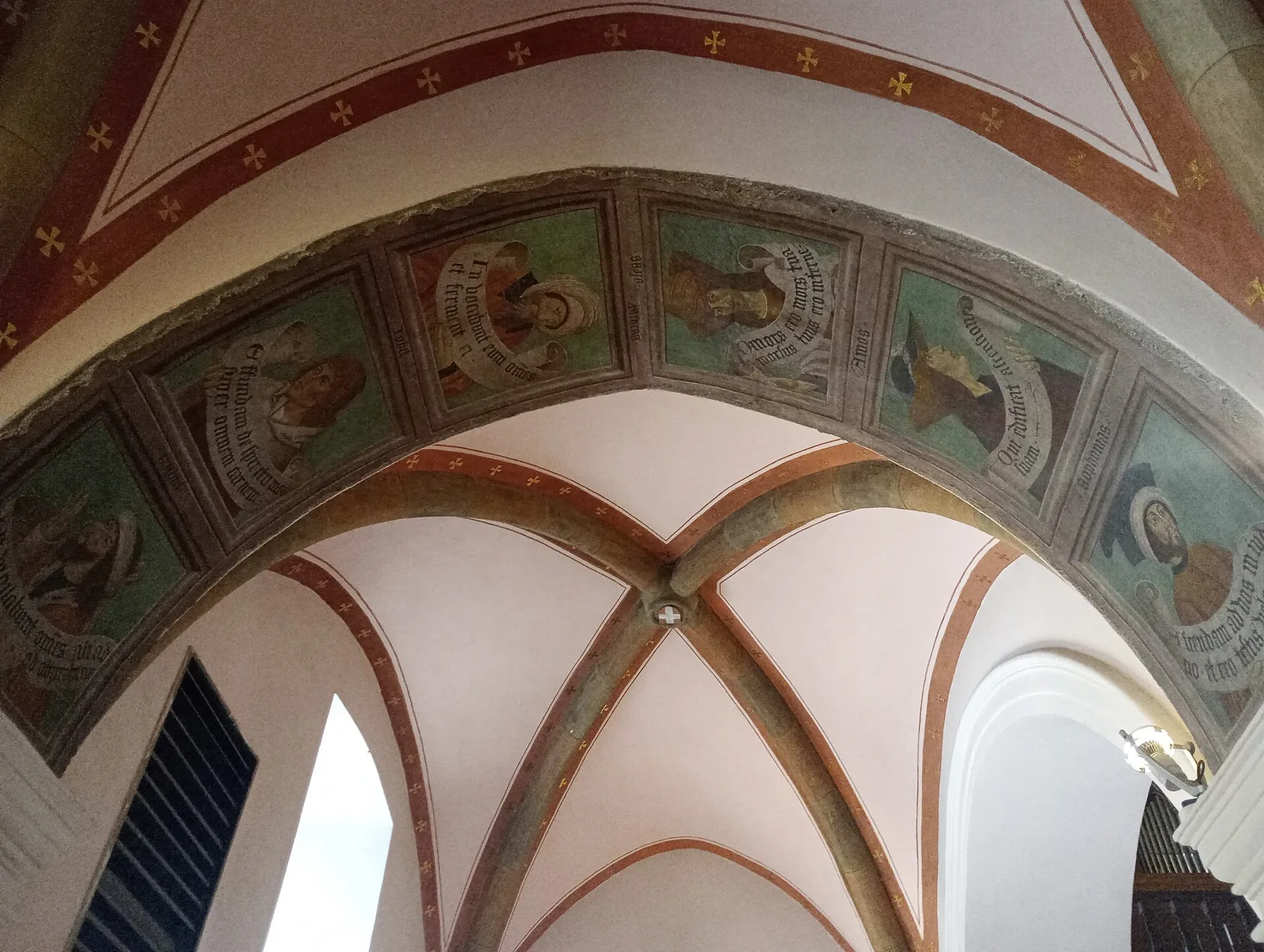
EE
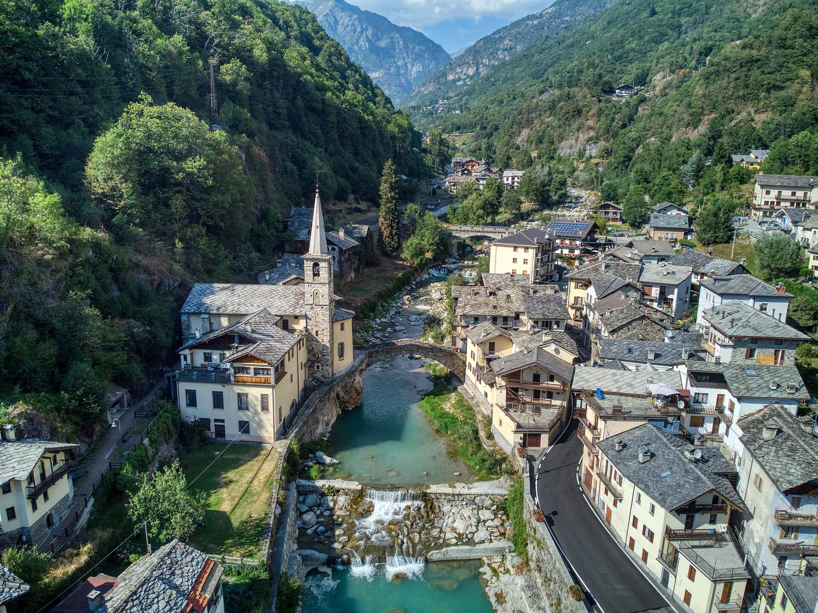
Val d'Ayas
Amponey - Bec de Nannaz
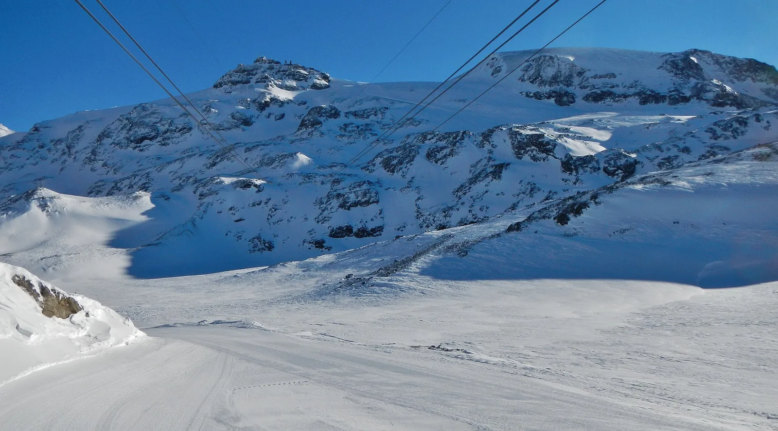
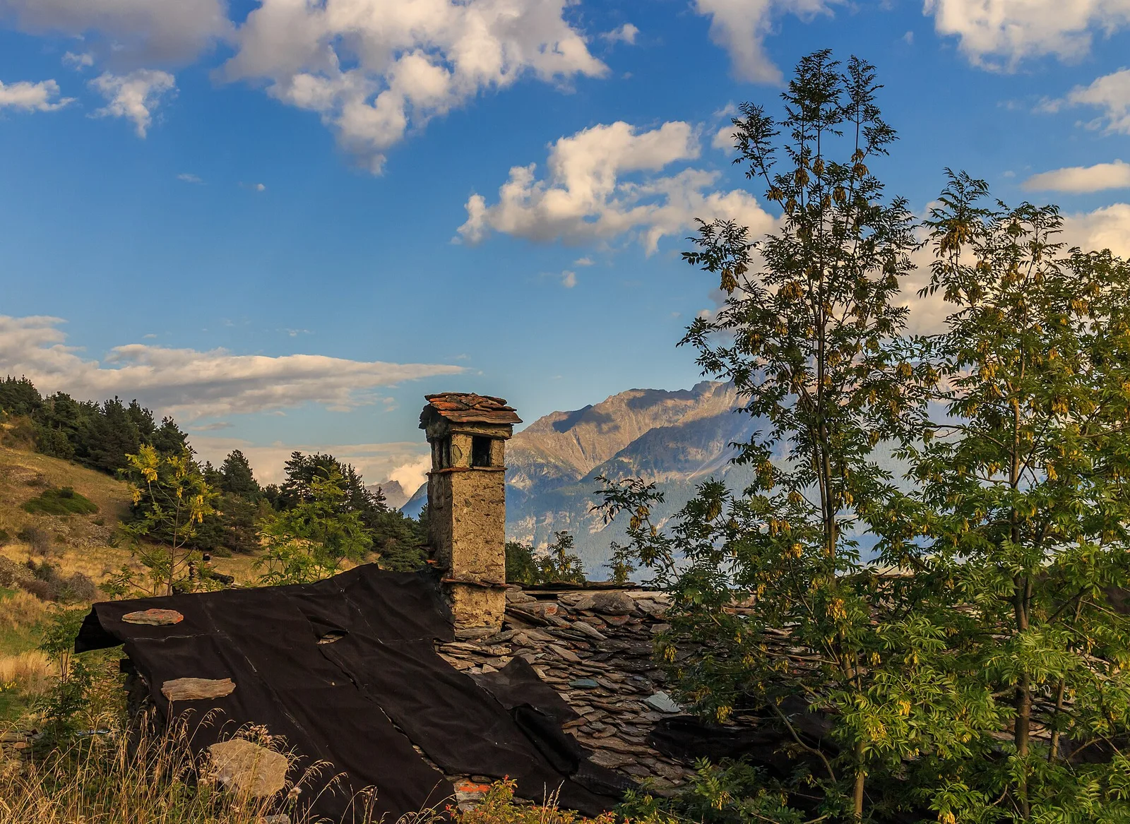
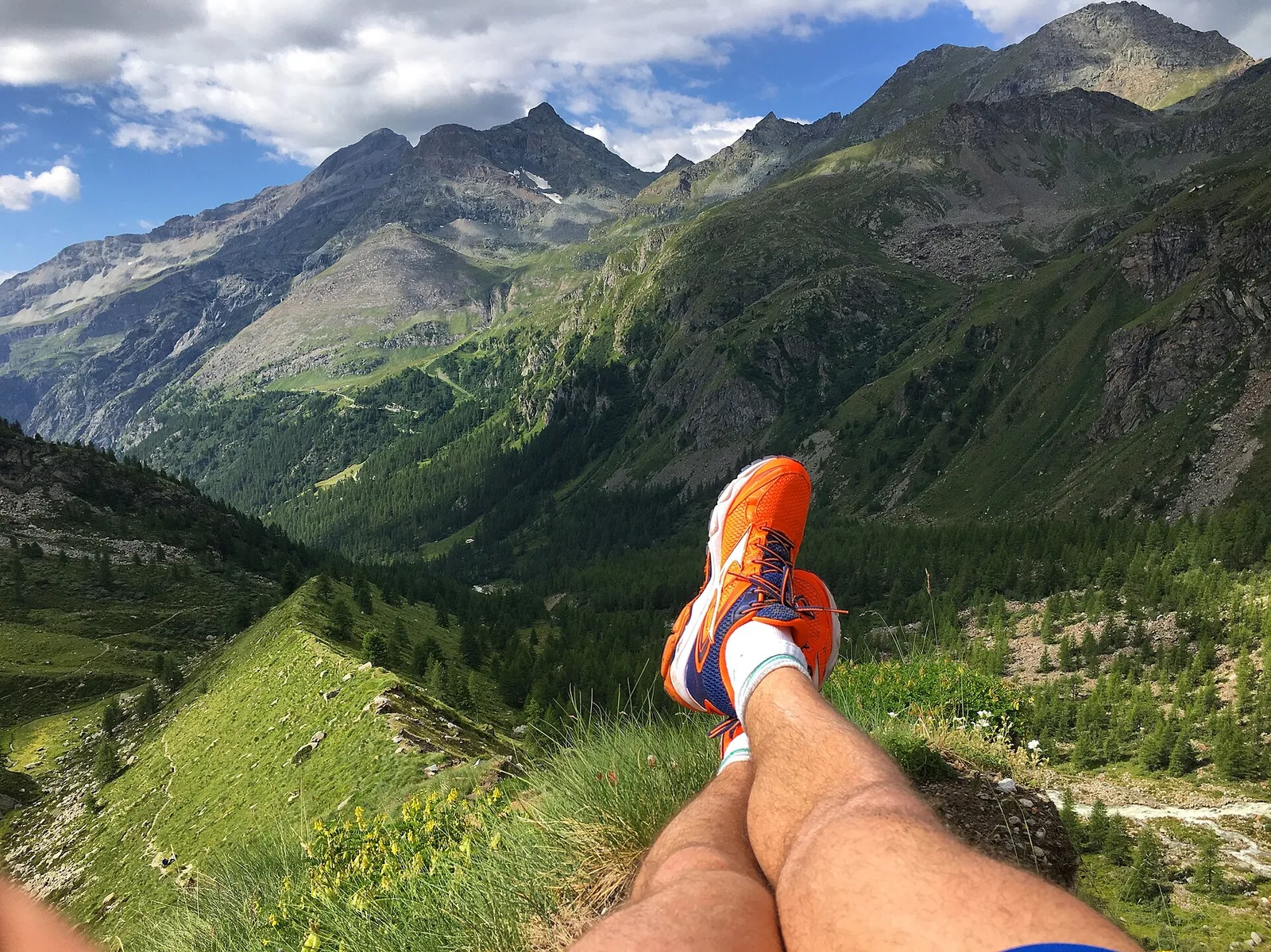
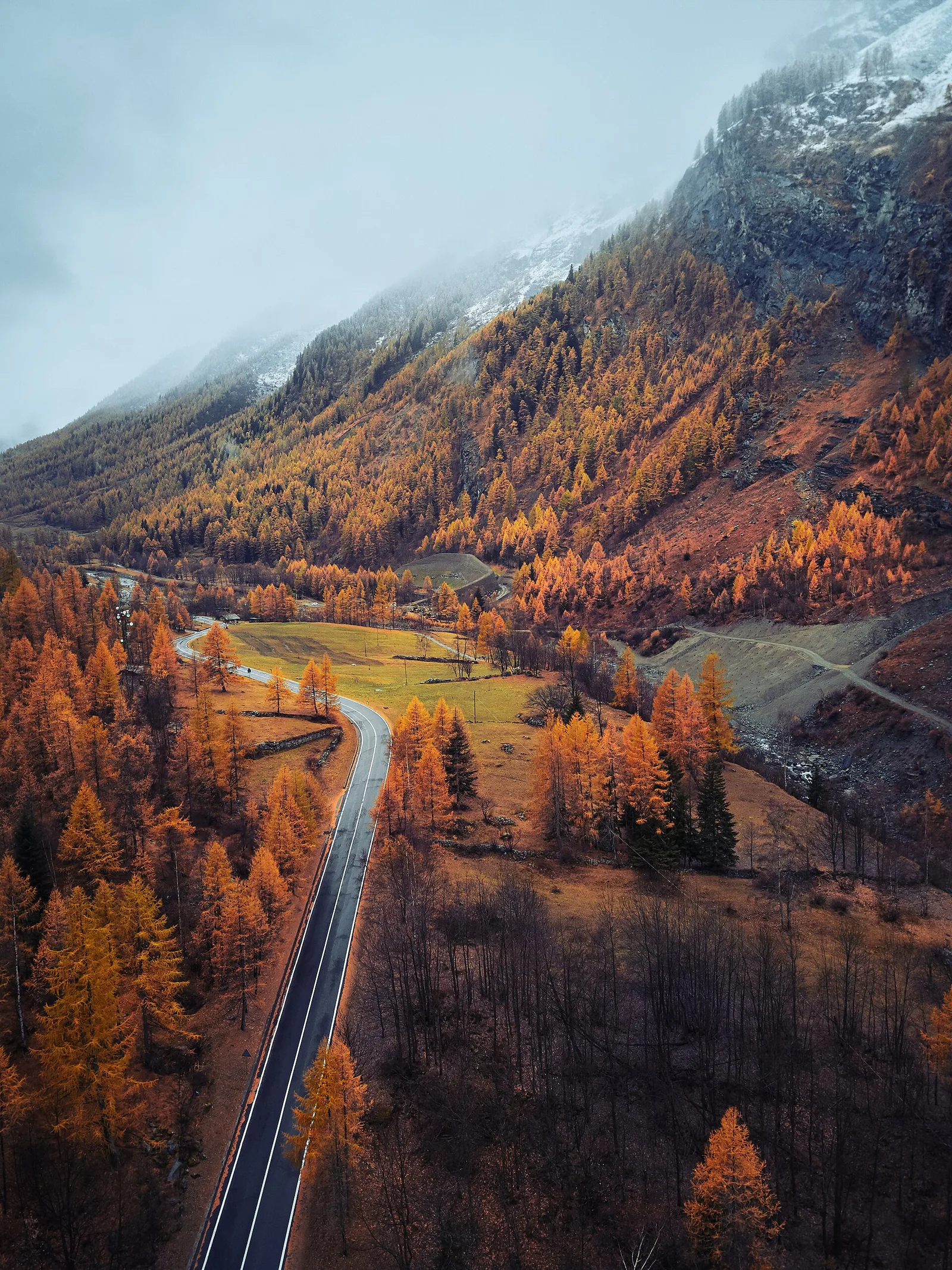
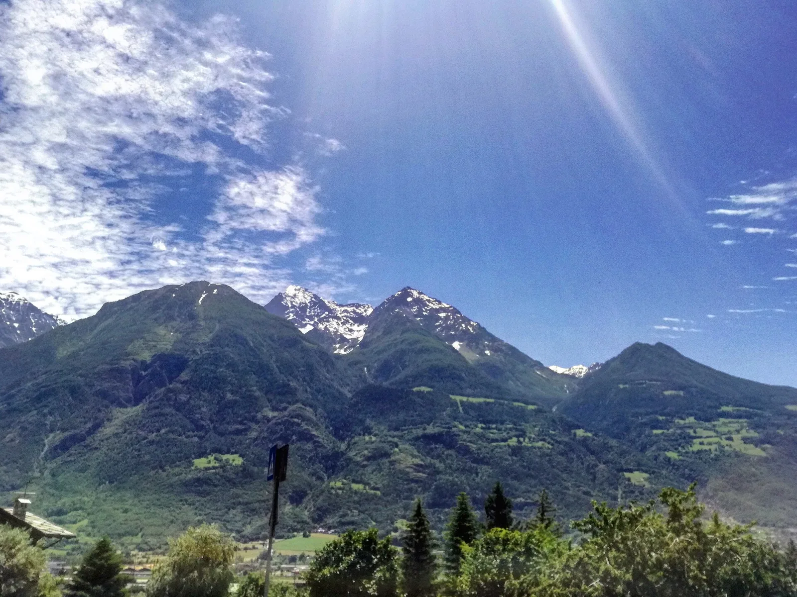
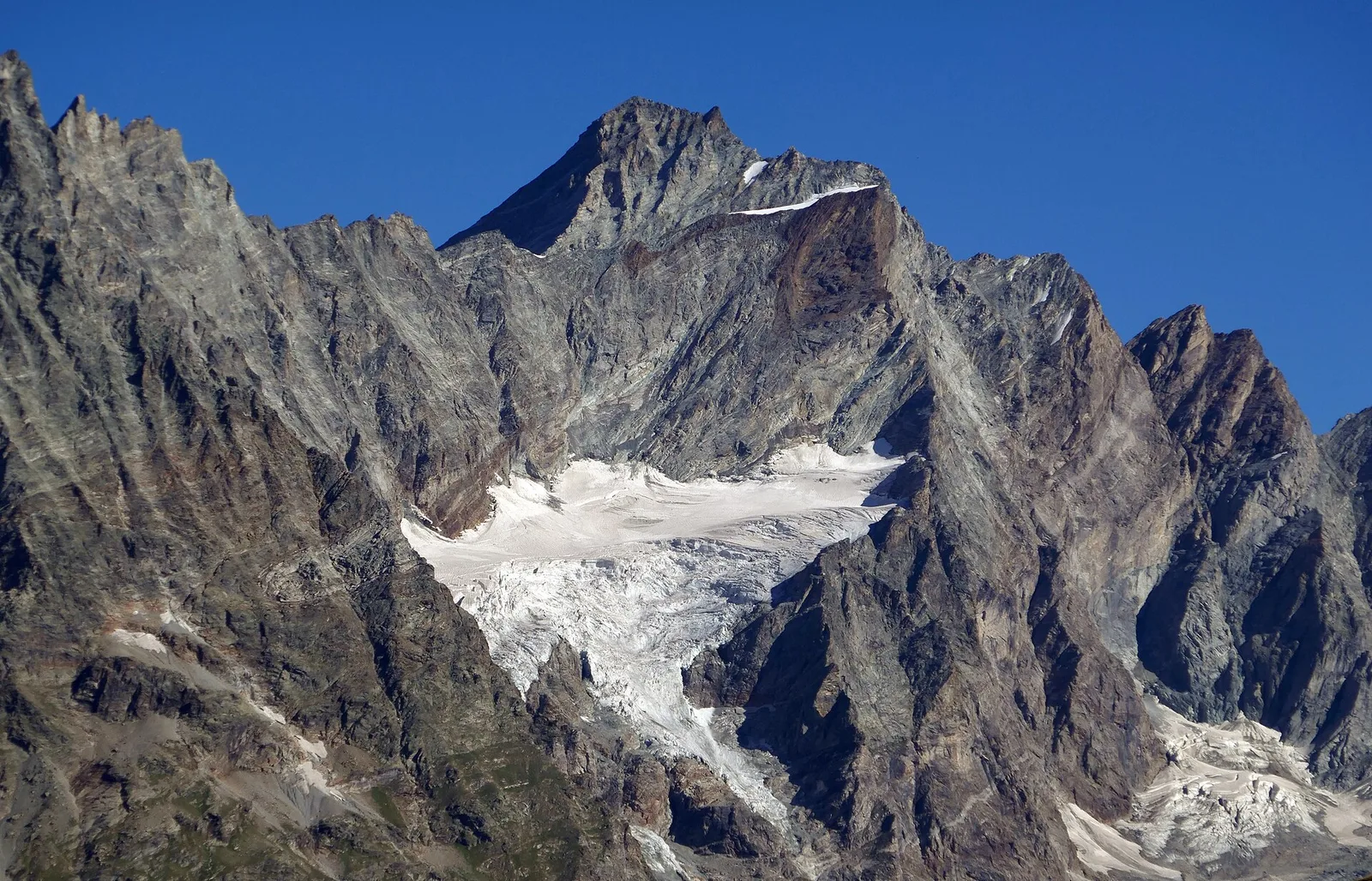
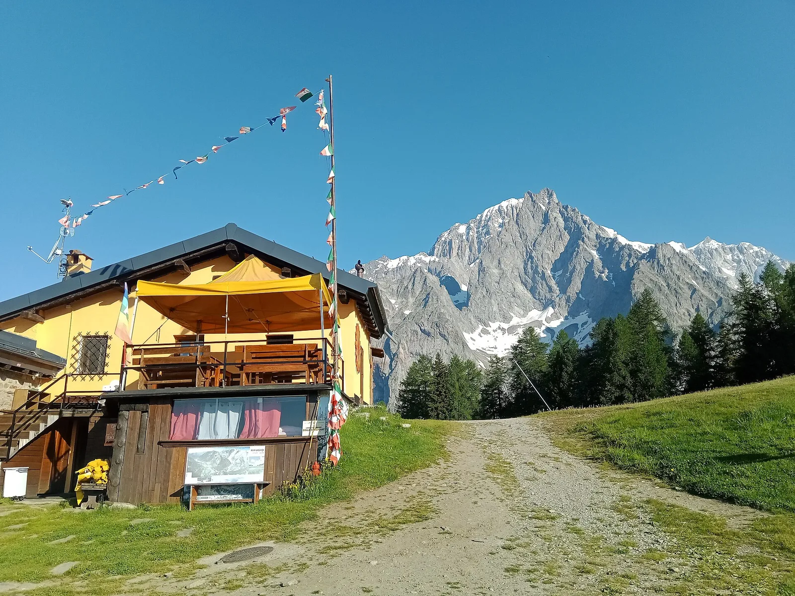
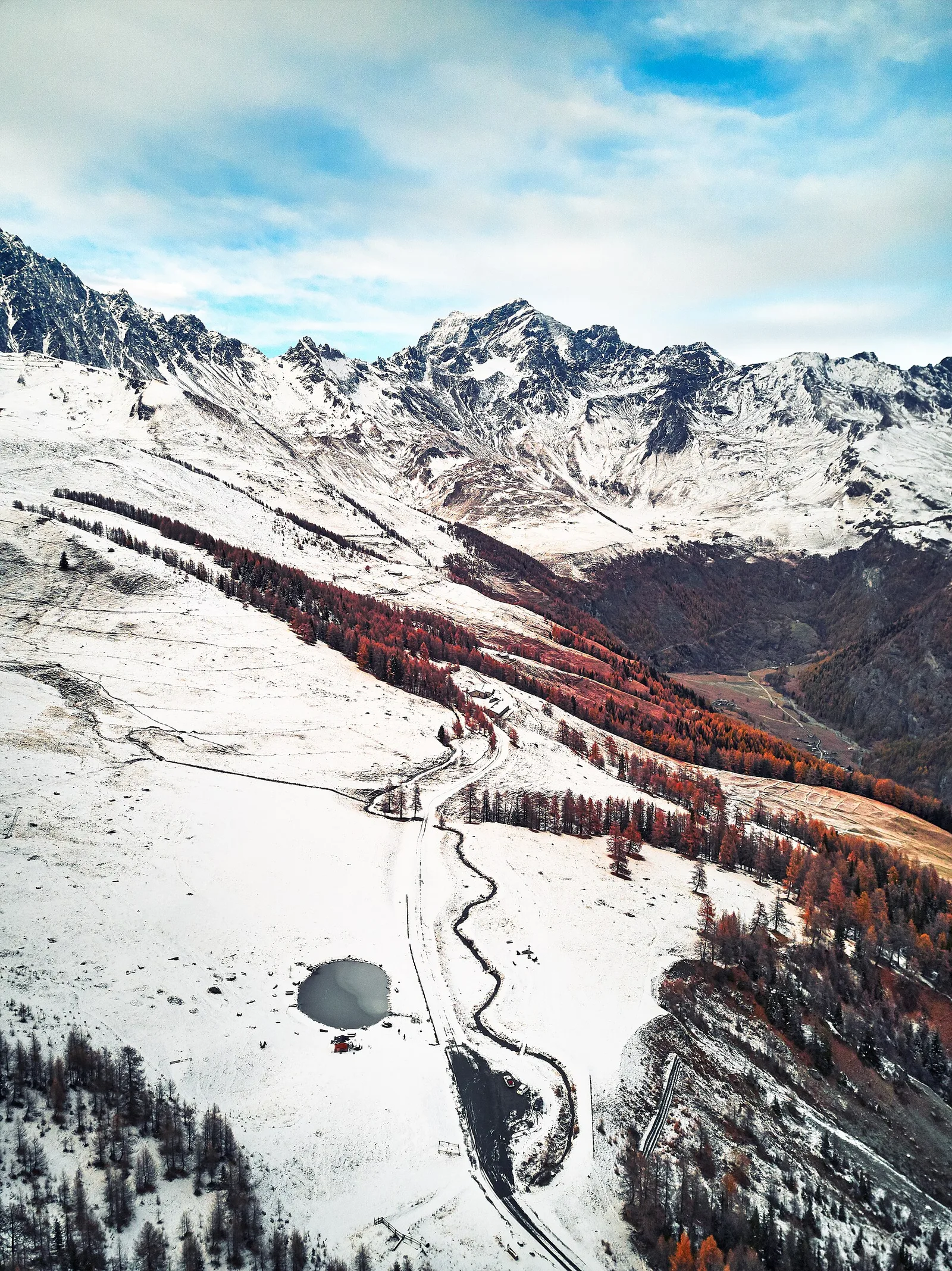
In the Val d'Ayas, Ayas: an E-rated climb toward a high-altitude objective through pastures and rock with views of Monte Rosa.
6.2 km+1467 m5 h
Where to spot
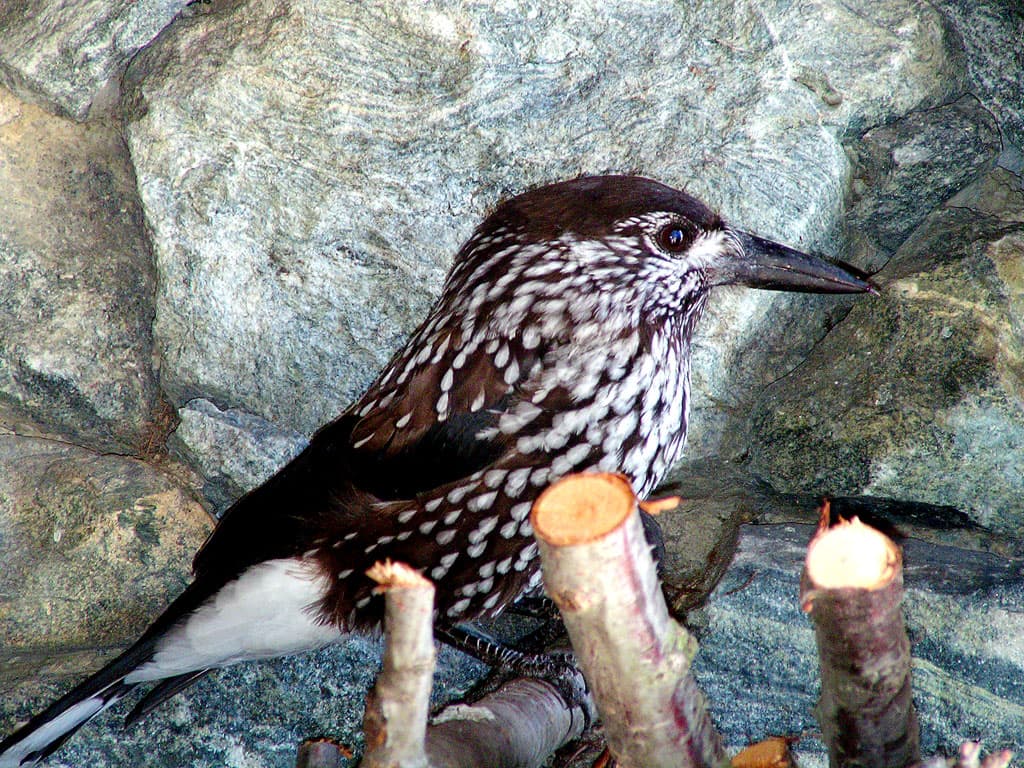
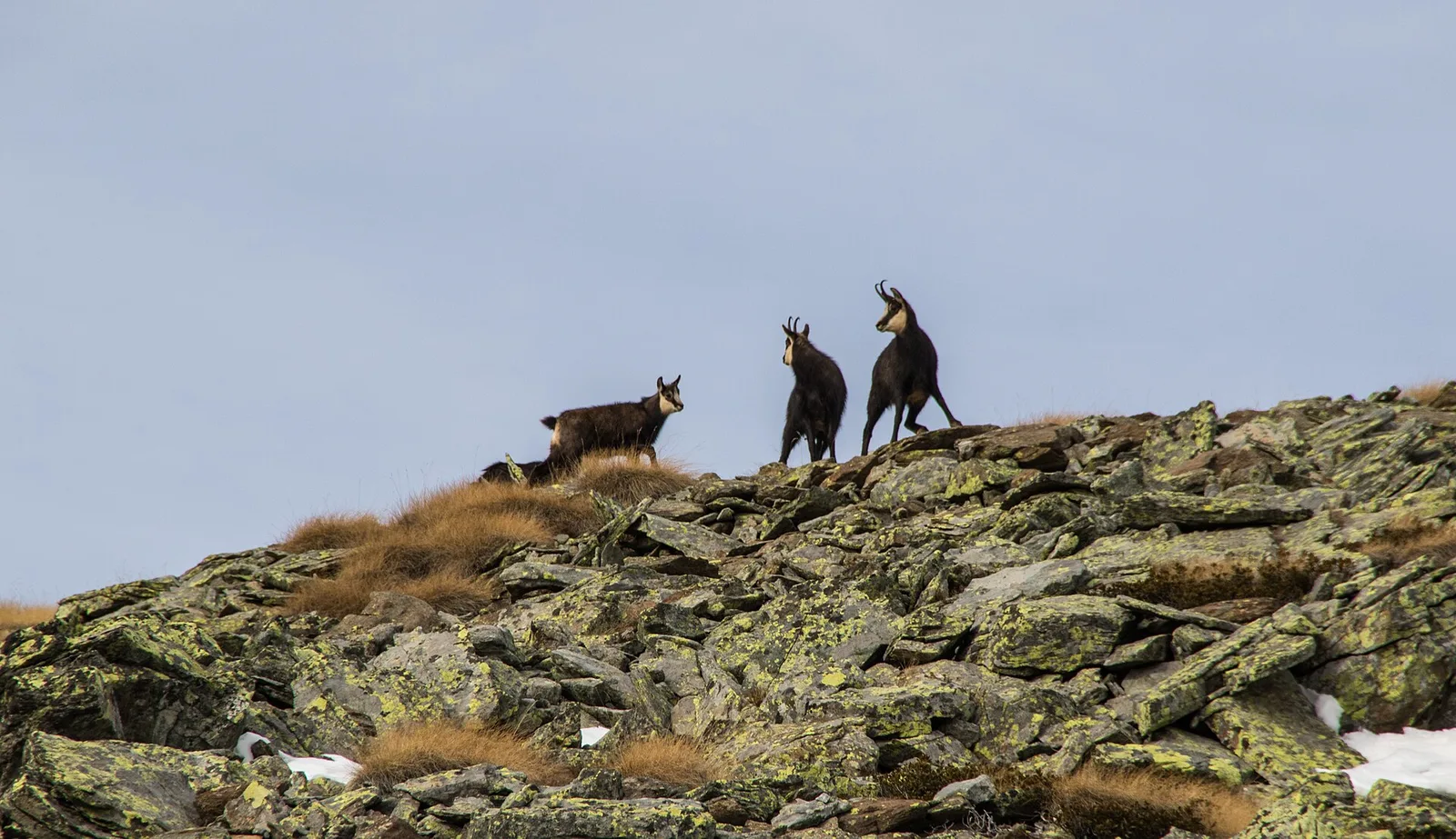
68 trails where Western capercaillie is listed in flora/fauna: difficulty T–EEA, elevation gain 0–1911 m.
68 · 0.9–13.9 km · +0–1911 m
Val d'Ayas
In the Val d'Ayas, Ayas: an E-rated climb toward a high-altitude objective through pastures and rock with views of Monte Rosa.

Valle del Lys
8.9 km · +996 m · EEA — from Niel to Niel (Great St Bernard Valley).

Val d'Ayas
1.9 km · +78 m · E — from Arbaz to Mont d'Arbaz (Ayas Valley).
Valle del Gran San Bernardo
2.9 km · +477 m · E — from Ayez to Genevrey (Great St Bernard Valley).
Valle centrale
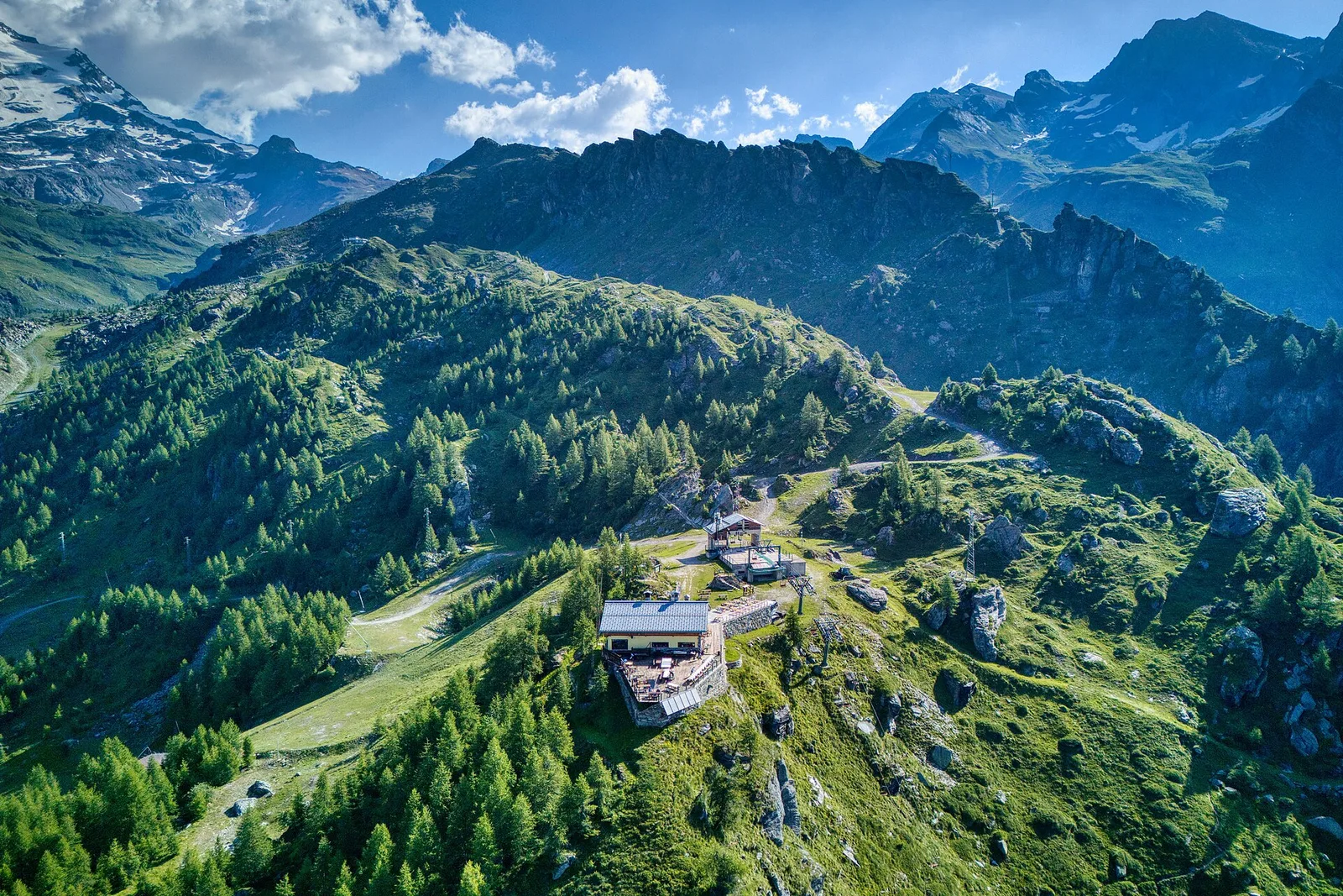
In the Val di Cogne, commune of Aymavilles: an E-rated climb through forest and alpine pastures in the Gran Paradiso National Park.
Valle centrale
From Aymavilles Moulin (653 m) to Petit Poignon (1562 m) along the Gran Paradiso Park edge: mixed woodland, clearings, and wildlife. 6.2 km, +926 m, E.

Valle di Champorcher
13.9 km · +1540 m · E — from Barche to Grand Alpe (Lys Valley).

Bassa Valle
1.6 km · +397 m · E — from Barme to Carogne (Valtournenche).
Valtournenche
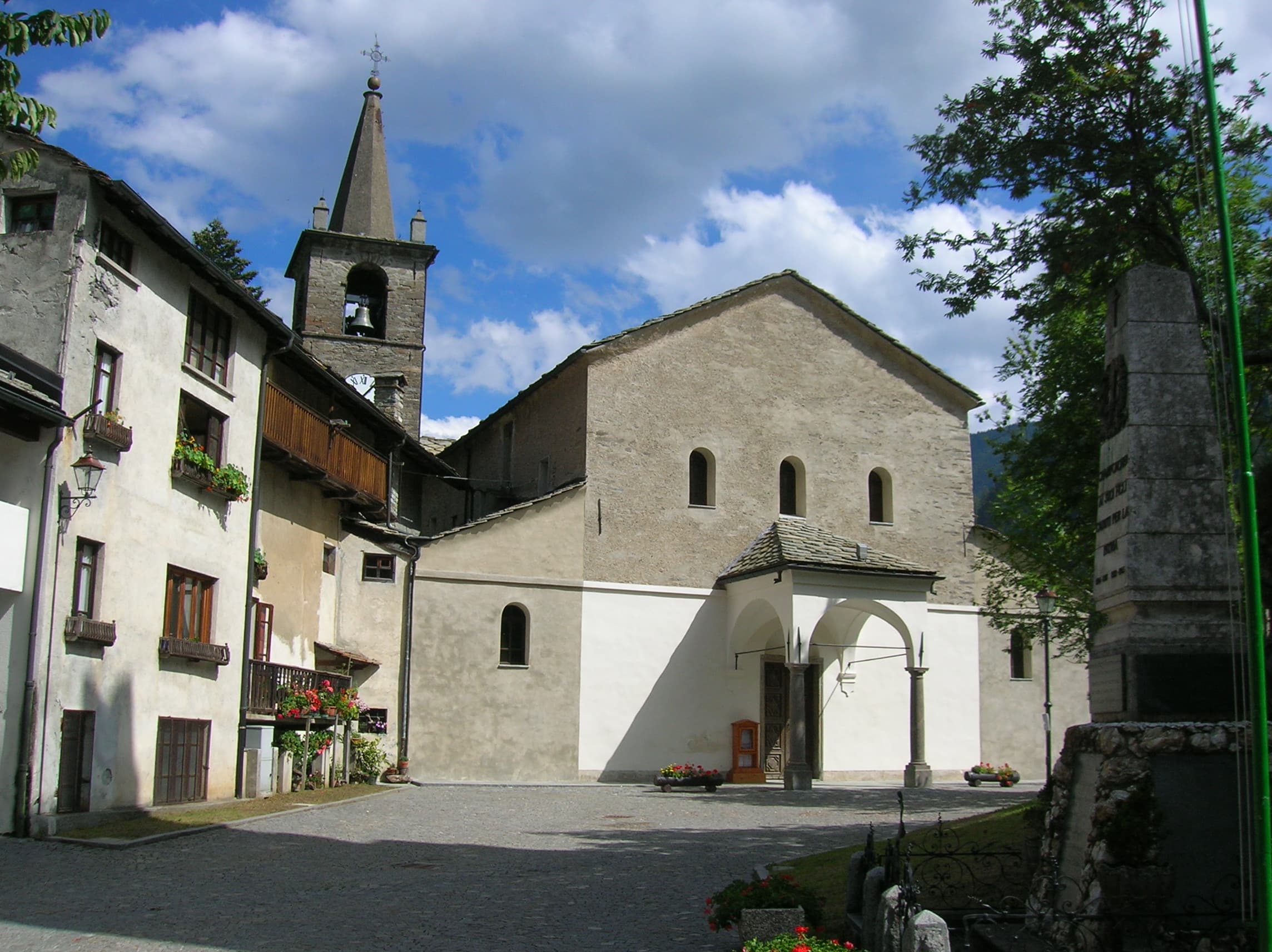
In the commune of Antey-Saint-André, Valtournenche: an E-rated route across sunny slopes, hamlets and pastures.
Valtournenche
1 km · +136 m · E — from Breuil to Cielo Alto (Central Valley).
Val d'Ayas
1.8 km · +422 m · E — from Capiron to Miniera di Herin (Central Valley).
Valle centrale
1.5 km · +327 m · E — from Cerellaz to Cerlogne (Valdigne).
Valle centrale
4.4 km · +543 m · E — from Champlong dessus to Petit-Poignon (Central Valley).
Valle centrale
4.1 km · +768 m · E — from Charrère to Verrogne (Central Valley).
Valle centrale
1.7 km · +446 m · E — from Chevrère to Poignon (confine comunale Villeneuve) (Lys Valley).
Valpelline
1.3 km · +270 m · E — from Créton to Arp du Bois (Valpelline).
Valle centrale
8.8 km · +1911 m · E — from Dailley to Tête de Licony, Bivacco Pascal (Central Valley).
Valle del Lys
1.7 km · +20 m · E — from Leschelbalmo to Leschelbode (Champorcher Valley).
Val di Cogne
3.3 km · +559 m · E — from Ermitage de Saint-Grat to Lac de Chamolé (Cogne Valley).
Valle centrale
3.5 km · +774 m · E — from Etavel to Combelin (Central Valley).
Valle del Gran San Bernardo
2 km · +288 m · E — from Etroubles to Prailles (Central Valley).
Valsavarenche
5.1 km · +233 m · T — from Fenille to Degioz (Ayas Valley).
Valle di Champorcher
2.3 km · +602 m · E — from Frassiney to Borney (Champorcher Valley).
Valsavarenche
1.7 km · +291 m · E — from Frassiney to Verrogne (Central Valley).

Valle del Lys
2.7 km · +496 m · E — from Gaby to Bounitzon (Great St Bernard Valley).
Val di Cogne
4.7 km · +866 m · E — from Gimillan to Tsaplana (Lys Valley).
Valtournenche
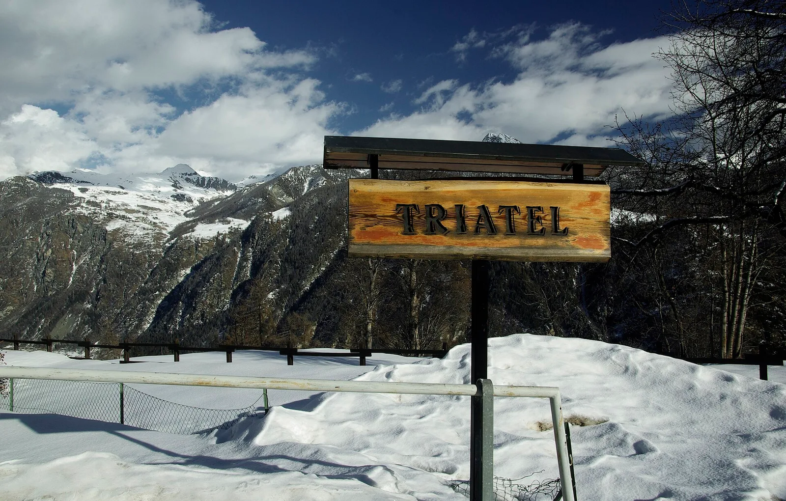
2.3 km · +557 m · E — from Grand Moulin to Triatel (Valtournenche).
Bassa Valle
4.8 km · +1134 m · E — from La Raffort - Centrale to Cormoney (Valsavarenche).
Val Ferret
1.5 km · +308 m · EE — from La Saxe to Belvedere (Great St Bernard Valley).
Val di Cogne
2 km · +486 m · E — from Lac de Chamolé to Rifugio Arbolle (Cogne Valley).
Valle centrale
0.9 km · +97 m · E — from Les Fabriques to Lignan (Valpelline).
Valpelline
2.6 km · +240 m · E — from Lessert to Le Moulin (Valpelline).
Val d'Ayas
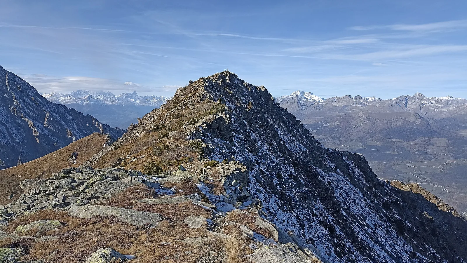
In the Val d'Ayas, commune of Ayas: a steady E-rated climb toward a high-altitude objective on well-marked terrain.
Valtournenche
4.8 km · +167 m · E — from Mognod to Saint-Evence (Valpelline).
Valle centrale
2 km · +461 m · E — from Moulin to Gorettaz (Lys Valley).
Val d'Ayas
3 km · +493 m · E — from Orbeillaz to Col Tzecore (Ayas Valley).
Valle del Lys
5.5 km · +642 m · E — from Orsia to Rifugi Gabiet (Lys Valley).
Valle di Champorcher
3.6 km · +478 m · E — from Outre l'Eve to Borney (Valtournenche).
Valtournenche
3 km · +504 m · E — from Pâquier to Servaz (Central Valley).
Val d'Ayas
3.1 km · +425 m · E — from Paysan to Miniere di Bechaz (Ayas Valley).
Valle del Lys
1.7 km · +471 m · E — from Pianatz to Kocia (Great St Bernard Valley).
Val d'Ayas
1.2 km · +160 m · E — from Pilaz to Fontaines de Goillaz (Ayas Valley).
Val Veny
5.2 km · +200 m · T — from Plan Ponquet to Visaille (giro dei tre ponti) (Great St Bernard Valley).
Valle centrale
3.4 km · +635 m · E — from Plout to Druges (Great St Bernard Valley).
Valle di Champorcher
8.2 km · +936 m · E — from Pommier to Plan Clavalité (Lys Valley).
Valle centrale
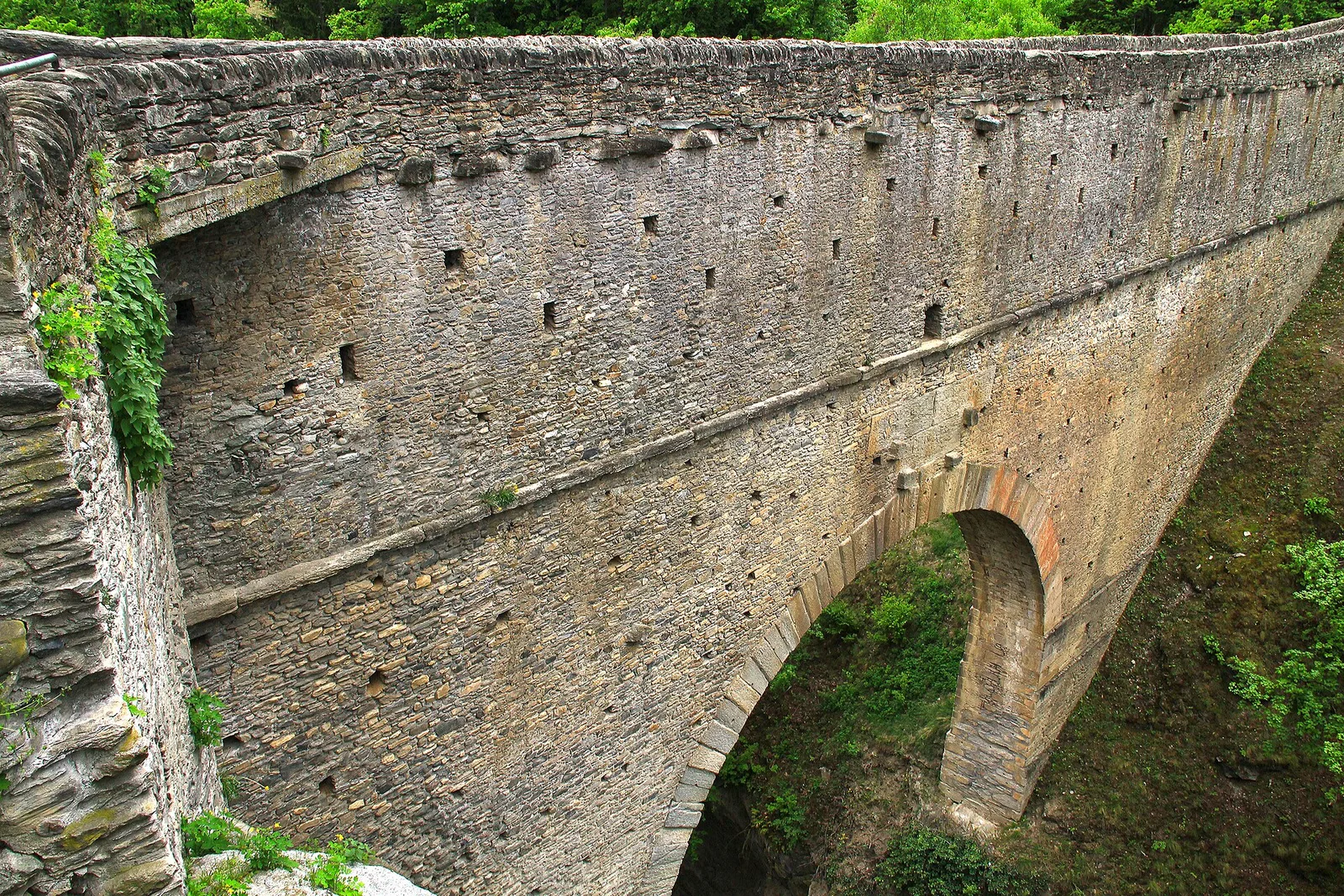
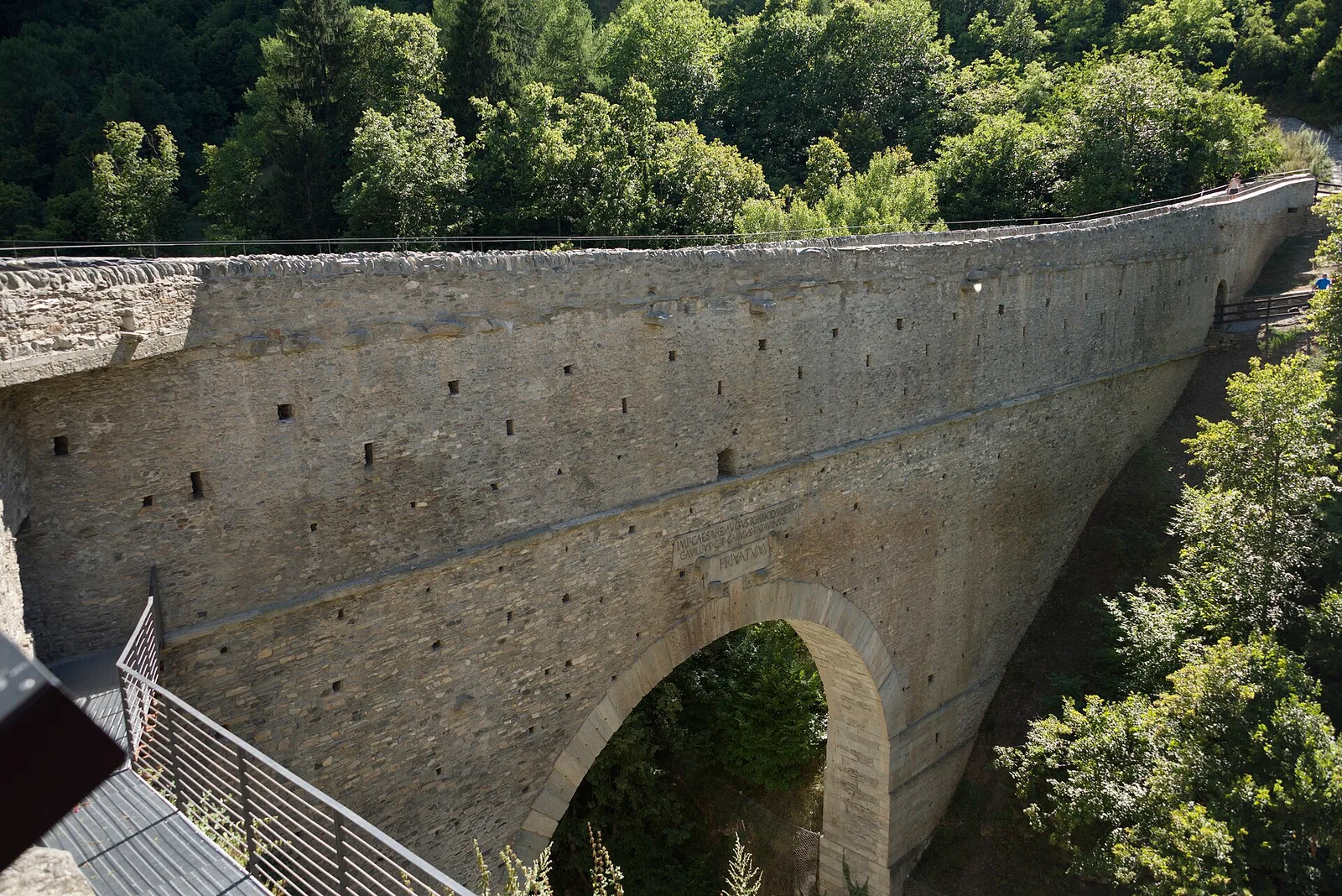
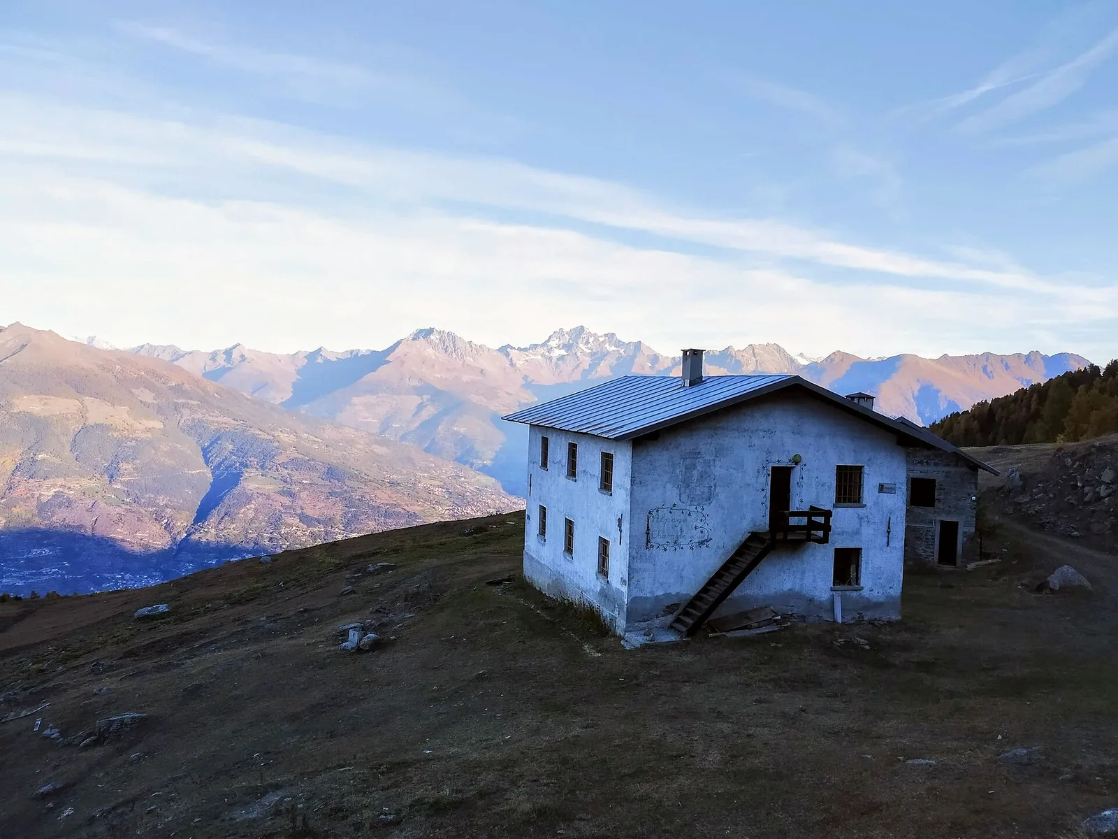
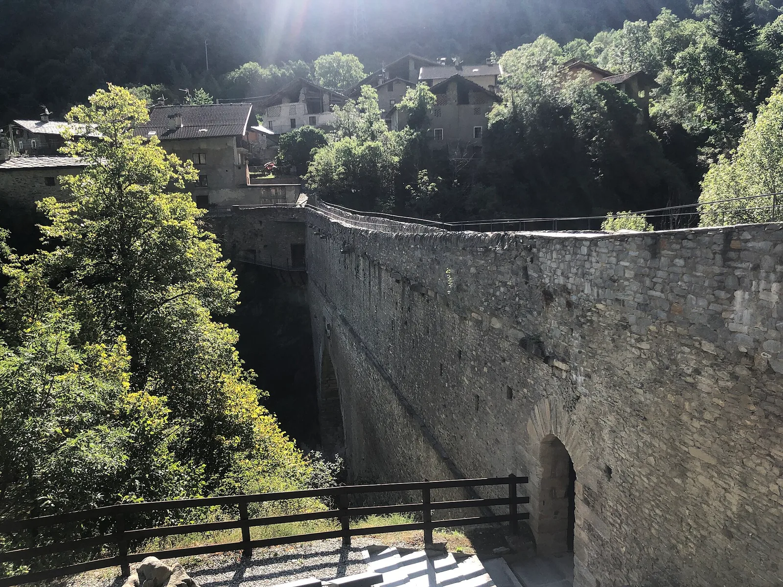
From the Roman Pont d'Ael (3 BC) at Pondel, a sustained climb into the wild Grand Eyvia valley to the quiet alp of Petit Poignon.
Valle del Lys
1.8 km · +448 m · E — from Posa to Saroun (Lys Valley).
Valtournenche
1.4 km · +500 m · E — from Poutaz to Triatel (Valtournenche).
Valtournenche
2.7 km · +556 m · E — from Confine comunale Antey -Torgnon to Triatel (Valpelline).

Val d'Ayas
4.7 km · +742 m · E — from Quinçod to Leuriaz (Ayas Valley).
Valgrisenche
2.8 km · +495 m · E — from Rifugio Bezzi to Lac St-Martin (Valtournenche).
Valpelline
4.9 km · +0 m · E — from Vaud to Châtelair (Valpelline).
Val d'Ayas
7.1 km · +917 m · E — from Saint-Clair to Gettaz (Valdigne).
Val d'Ayas
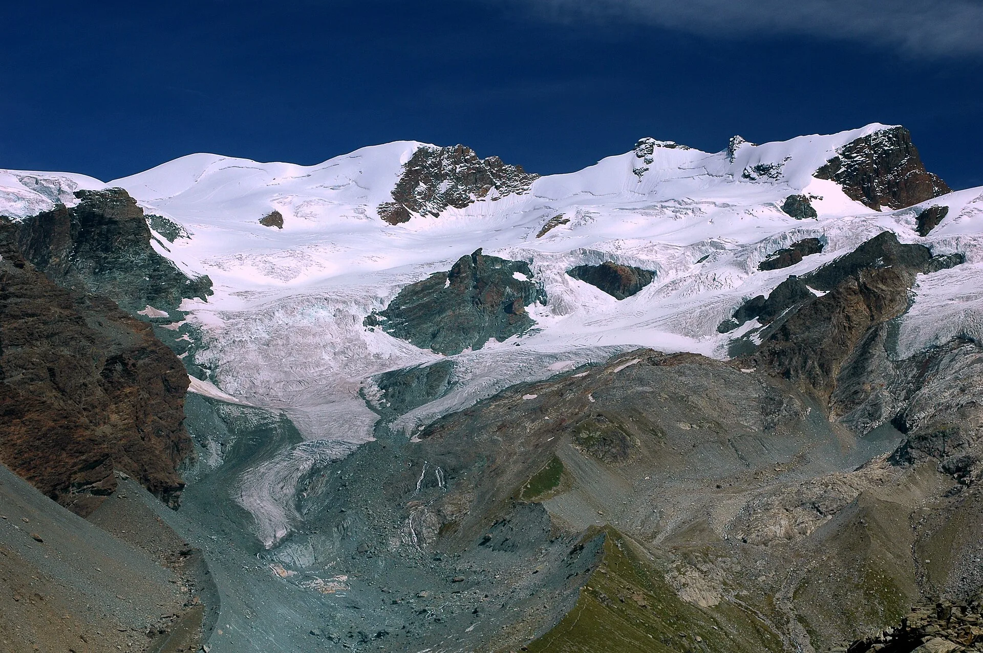
From Saint-Jacques, the demanding EE route to Mont Roisetta climbs pastures, scree and high-mountain terrain in the Val d'Ayas, with views toward Monte Rosa.
Valle del Gran San Bernardo
1 km · +250 m · E — from Saint-Oyen to Eternod (Great St Bernard Valley).
Bassa Valle
4.8 km · +1070 m · E — from Saint-Roch to La Borney (Central Valley).
Bassa Valle
3.8 km · +1070 m · E — from Saint-Roch to La Borney (Central Valley).
Valle centrale
2.1 km · +740 m · EE — from Servettaz to Druges (Lys Valley).

Val d'Ayas
7.4 km · +1671 m · E — from Strada per Veulla to Mont Barbeston (Central Valley).
La Thuile
10 km · +1197 m · E — from Capoluogo to Rifugio Deffeyes (Lys Valley).
La Thuile
2.6 km · +97 m · E — from Thovex to Granges (Lys Valley).
Valle centrale
6.4 km · +1110 m · E — from Tillier to Druges (Lys Valley).
Valpelline
A scenic loop above Bionaz, from La Culoz via Mont Echeut and Sevey: 1,200 metres of ascent among alps and balconies over Valpelline.
Valpelline
4.1 km · +598 m · E — from Capoluogo to Billiouque (Valtournenche).
Valle di Champorcher
7.4 km · +1789 m · E — from Varesa to Col de la Fricolla (Champorcher Valley).
Valle di Champorcher
3 km · +279 m · E — from Veulla to Ruderi Alto Forno (Central Valley).
Valle centrale
1.8 km · +249 m · EE — from Villair to Belvedere (Great St Bernard Valley).
Valle centrale
7.3 km · +909 m · E — from Villeneuve to Petit Poignon (Central Valley).