Tour: La Culoz - Mont Echeut - Sevey - Bionaz
7.2 km
+1203 m
−0 m
5 h
Nivel físico
Mapa y ruta
Traza GPX — verifica sobre el terreno antes de caminar
Descripción
Puntos clave
Salida
La Culoz · 1557 m
Llegada
Bionaz · 1601 m
Sendero
S25
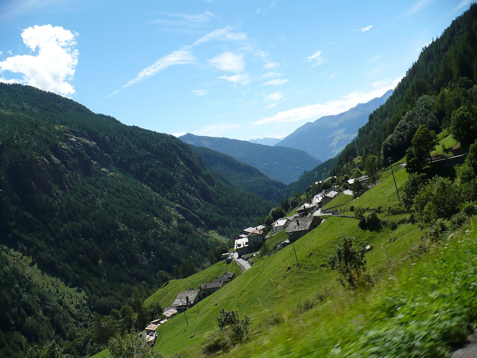
A loop route that climbs from near La Culoz, at 1,557 metres, onto the grazing balconies above Bionaz, touching Mont Echeut and the Sevey alp before closing back towards the village at 1,601 metres. It runs 7.2 km with 1,203 metres of total ascent: a hike, but a demanding one for the constant up-and-down among alps, larch woods and open scenic stretches. The effort is repaid by the breadth of views over Valpelline, a high-mountain valley headed by the border glaciers. Seventeen cadastre signposts mark the points of the loop. Recommended from summer to early autumn, with a good water supply and a not-too-late start.
Aparcamiento
Galería de fotos
Photos are published immediately. JPG/PNG/WebP, max 6 MB.
Fauna que observar
AEditado y verificado por Andrea Rama
Fuente de datos: Catasto Sentieri Regione Autonoma VdA · Open data — DGR 899/2014
Última verificación:
Valpelline
Senderos relacionados
Mismo valle o rutas similares — más excursiones por descubrir.

Valpelline
Bionaz (Plan Praz) - Place Moulin
Upper Valpelline, Bionaz: an E-rated route toward a glacial objective over open terrain.

Valpelline
Chamin - Bivacco della Sassa
From Chamin (1,732 m) to the Bivacco della Sassa (2,964 m) in the quiet Valpelline: 7.1 km and 1,246 m of ascent.

Valpelline
Champillon - Rifugio Letey - Col Champillon
3.1 km · +643 m · E — from Champillon to Col Champillon (Valtournenche).

Valpelline
Chanté - Mont Saron
From Allein toward Valpelline across the panoramic ridge between the two valleys: an E-rated route over open pastures with views of the Gran San Bernardo.