E
Valle centrale
Aymavilles - Torlin
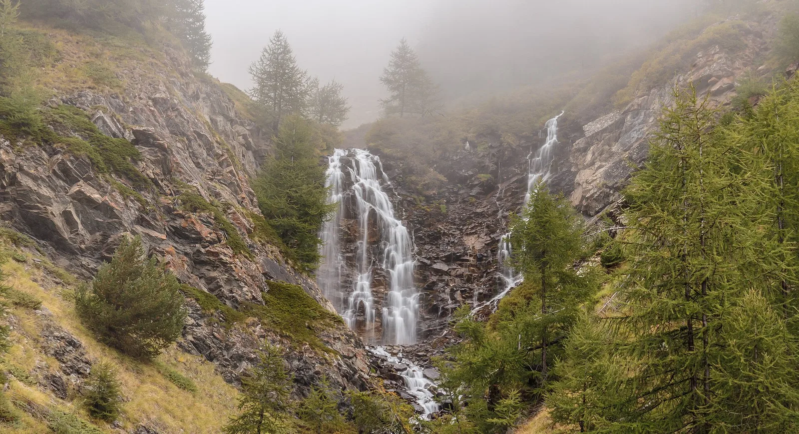
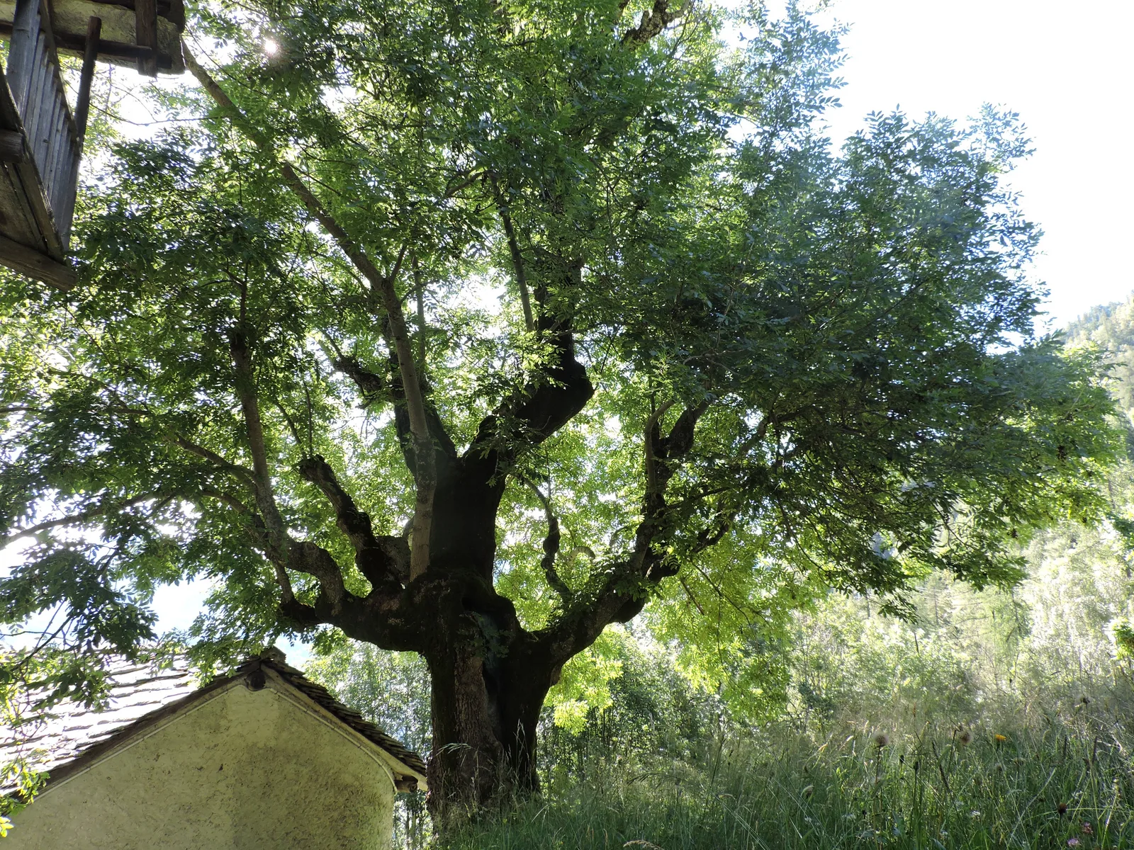
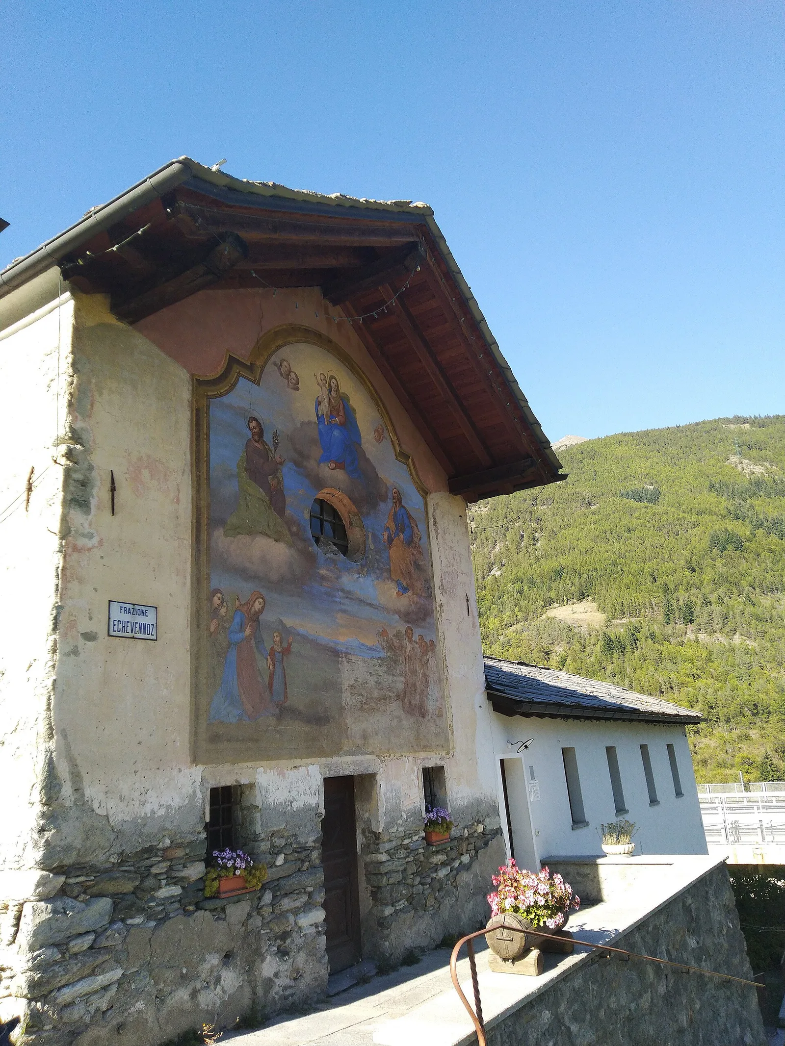
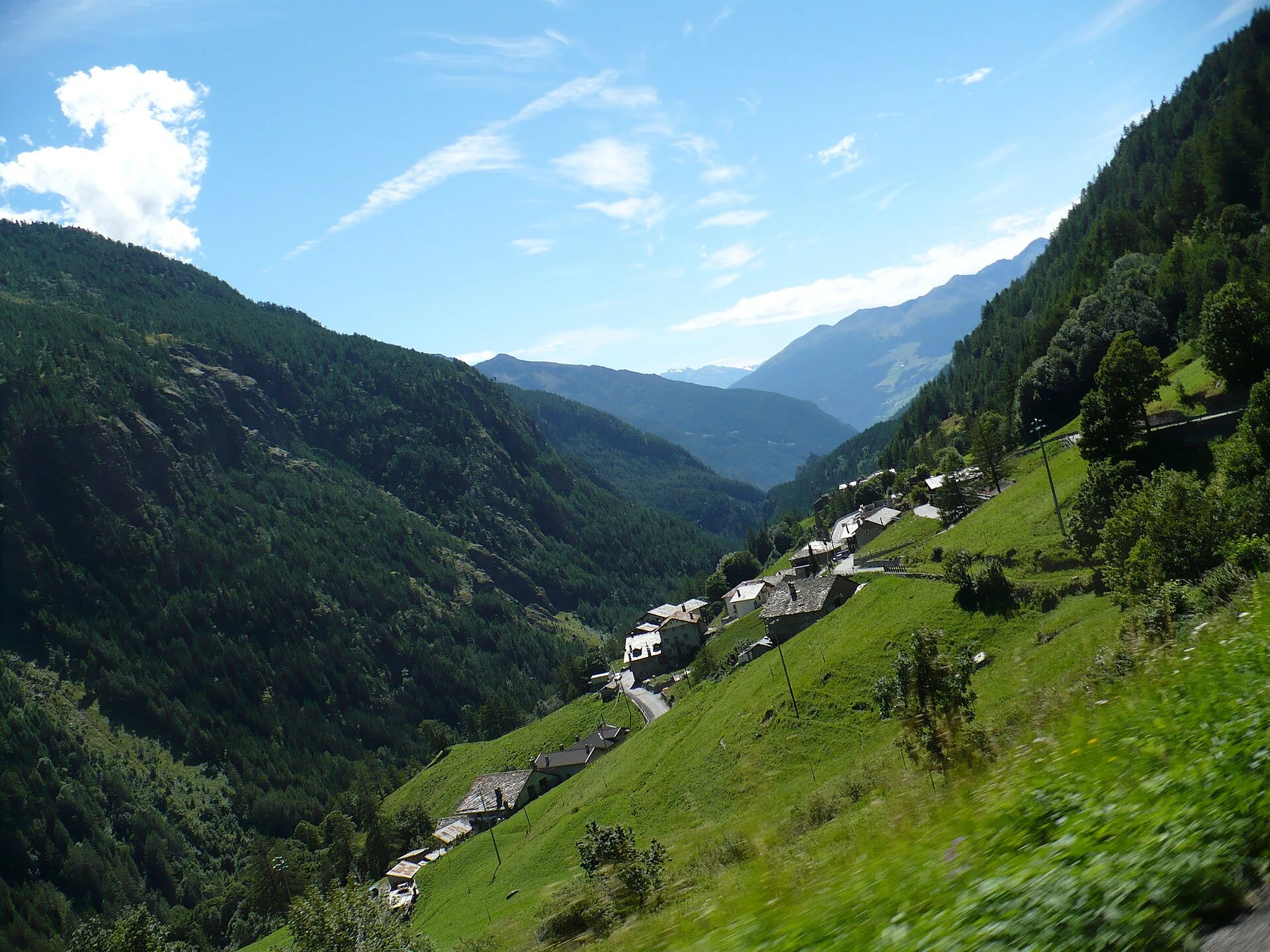
In the Val di Cogne, commune of Aymavilles: an E-rated climb through forest and alpine pastures in the Gran Paradiso National Park.
4 km+848 m3 h
Where to spot
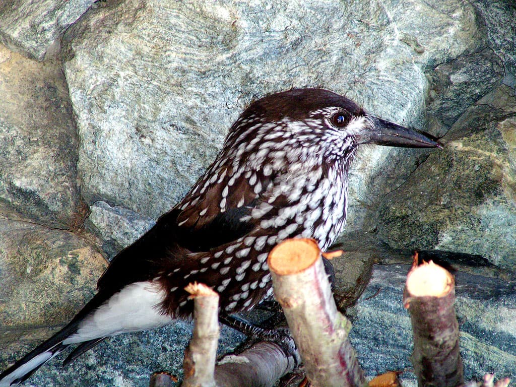
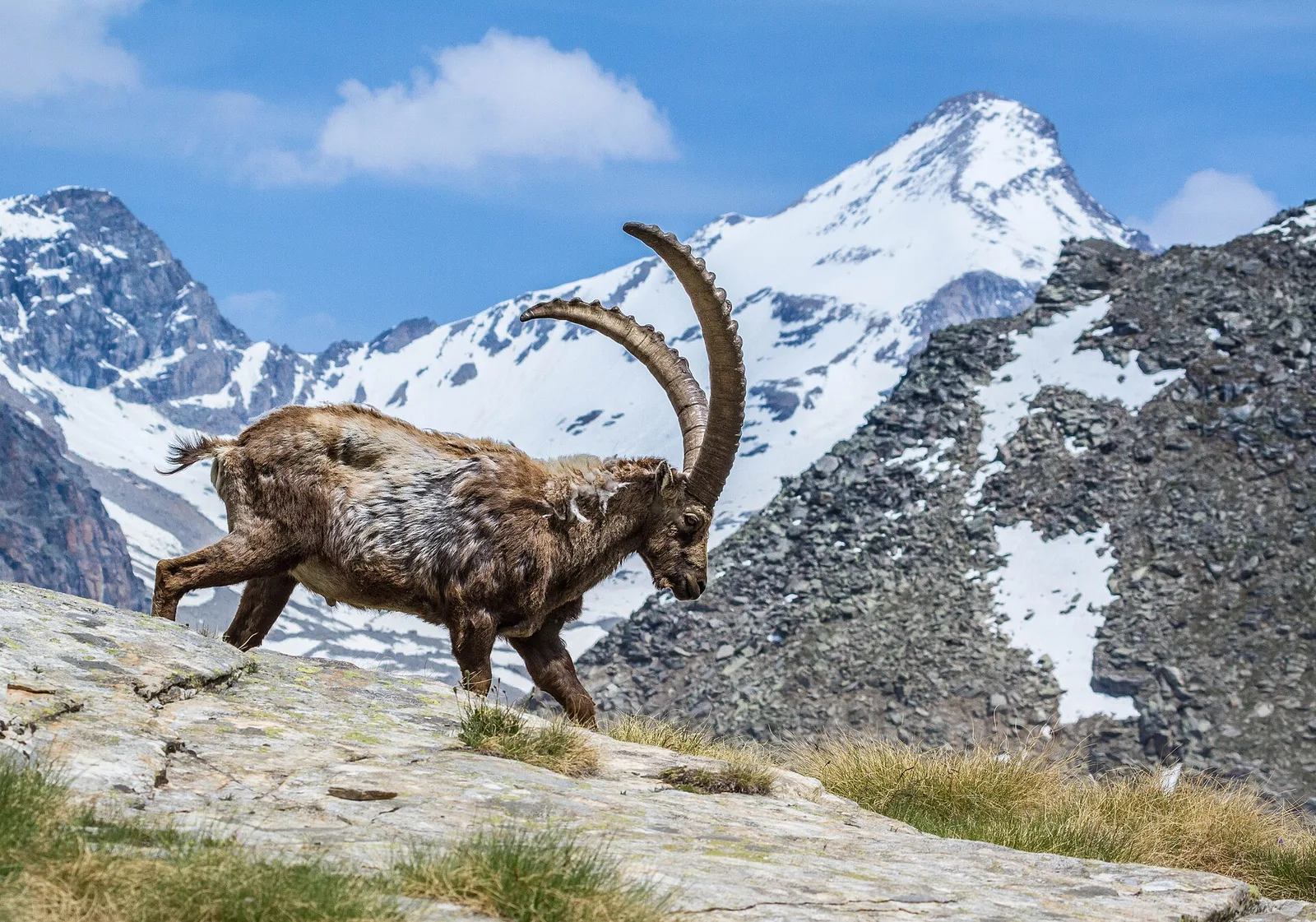
61 trails where Common frog is listed in flora/fauna: difficulty E–EE, elevation gain 0–1540 m.
61 · 0.9–53.5 km · +0–1540 m
Valle centrale
In the Val di Cogne, commune of Aymavilles: an E-rated climb through forest and alpine pastures in the Gran Paradiso National Park.
Valle centrale
From Aymavilles Moulin (653 m) to Petit Poignon (1562 m) along the Gran Paradiso Park edge: mixed woodland, clearings, and wildlife. 6.2 km, +926 m, E.

Valgrisenche
4.9 km · +705 m · E — from Bois de Grillet to Lago di San Grato (Valtournenche).

Valle di Champorcher
13.9 km · +1540 m · E — from Barche to Grand Alpe (Lys Valley).
Valtournenche
1.6 km · +184 m · E — from Berzin to Masod (Valpelline).
Valtournenche
In the commune of Antey-Saint-André, Valtournenche: an E-rated route across sunny slopes, hamlets and pastures.
Val d'Ayas
1.8 km · +422 m · E — from Capiron to Miniera di Herin (Central Valley).
Valle centrale
1.5 km · +327 m · E — from Cerellaz to Cerlogne (Valdigne).
Valgrisenche
In the Valgrisenche, commune of Arvier: an E-rated climb through forest and meadows toward a high-altitude pasture.
Valle centrale
4.4 km · +543 m · E — from Champlong dessus to Petit-Poignon (Central Valley).
Valle centrale
4.1 km · +768 m · E — from Charrère to Verrogne (Central Valley).
Val d'Ayas
53.5 km · +0 m · EE — from Pont-Suaz to Capoluogo (Cogne Valley).
La Thuile
9 km · +1272 m · E — from Capoluogo to Col des Orgères (Lys Valley).
Valle del Lys
1.7 km · +20 m · E — from Leschelbalmo to Leschelbode (Champorcher Valley).
Valle centrale
3.5 km · +774 m · E — from Etavel to Combelin (Central Valley).
Valle del Gran San Bernardo
2 km · +288 m · E — from Etroubles to Prailles (Central Valley).
Valle di Champorcher
2.3 km · +602 m · E — from Frassiney to Borney (Champorcher Valley).
Valsavarenche
1.7 km · +291 m · E — from Frassiney to Verrogne (Central Valley).
Val di Cogne
3.1 km · +95 m · E — from Gimillan to Tsavanis (Lys Valley).
Valtournenche
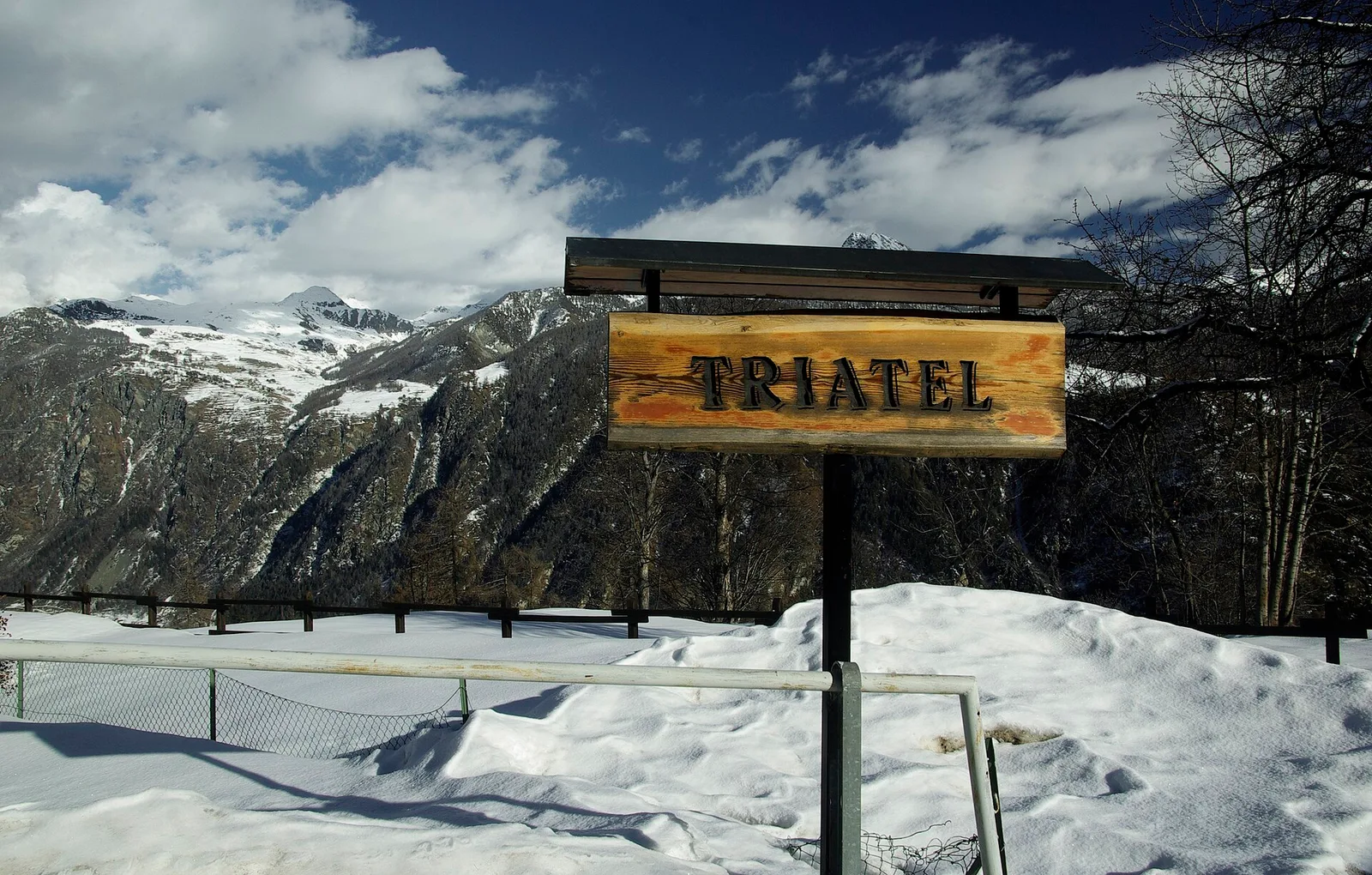
2.3 km · +557 m · E — from Grand Moulin to Triatel (Valtournenche).
Valle centrale
5.6 km · +1012 m · E — from Gressan , Clapey to Pila (Residence Ciel Bleu) (Lys Valley).
Valle centrale
1.5 km · +245 m · E — from La Ravoire to Lolair (Valgrisenche).
La Thuile
8.9 km · +968 m · E — from La Thuile, Thovex to Rifugio Deffeyes (Lys Valley).
Valle centrale
0.9 km · +97 m · E — from Les Fabriques to Lignan (Valpelline).
Valpelline
2.6 km · +240 m · E — from Lessert to Le Moulin (Valpelline).
Val d'Ayas
In the Val d'Ayas, commune of Ayas: a steady E-rated climb toward a high-altitude objective on well-marked terrain.
Bassa Valle
3.9 km · +830 m · E — from Marine to Col Fênetre (Central Valley).
Valgrisenche
7.6 km · +1124 m · E — from Menthieu to Lago San Grato (Valtournenche).
Valle del Lys
4.1 km · +794 m · E — from Nantey to Pra (Central Valley).
Valle del Lys
3.9 km · +952 m · EE — from Niel to Punta dei Tre Vescovi (Great St Bernard Valley).
Val d'Ayas
3 km · +493 m · E — from Orbeillaz to Col Tzecore (Ayas Valley).
Valle di Champorcher
3.6 km · +478 m · E — from Outre l'Eve to Borney (Valtournenche).
Valle centrale
From Ozein, the ascent to Pointe de la Pierre climbs through forest, pastures and open alpine terrain to 2642 m, a classic viewpoint over the Pila basin and Val di Cogne.
Valtournenche
3 km · +504 m · E — from Pâquier to Servaz (Central Valley).
Valtournenche
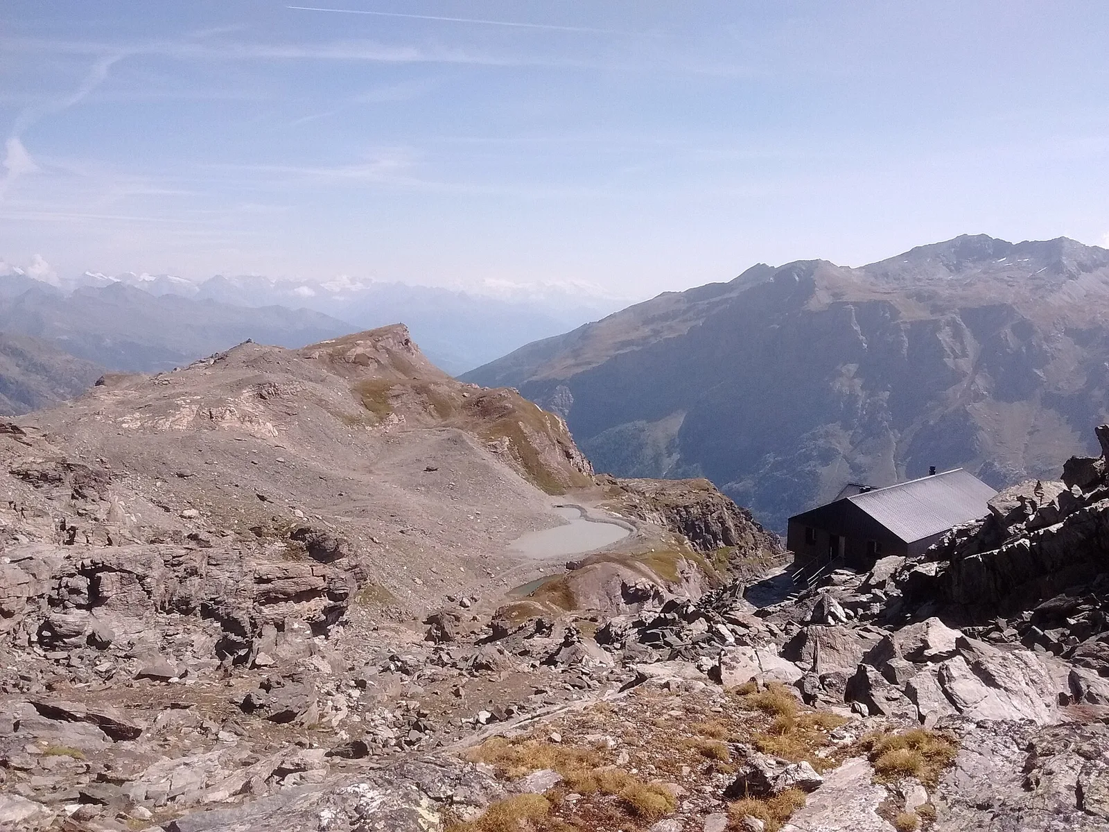
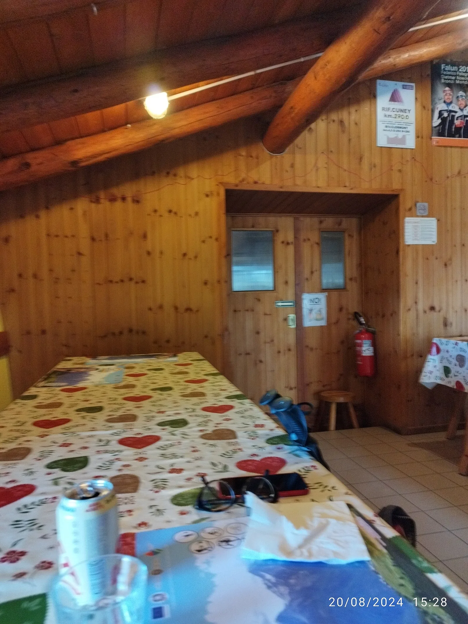
6.2 km · +830 m · E — from Porliod to Rifugio Oratorio di Cunéy (Valpelline).
Valle del Gran San Bernardo
4.3 km · +562 m · E — from Petit-Buthier to Alpe Ars (Central Valley).
Valle del Lys
1.7 km · +471 m · E — from Pianatz to Kocia (Great St Bernard Valley).
Valle centrale
3.4 km · +635 m · E — from Plout to Druges (Great St Bernard Valley).
Valle centrale
6.9 km · +1393 m · E — from municipio Pollein to Arpisson (Lys Valley).
Valle centrale
3 km · +795 m · E — from Pompiod to Torlin desot (cappella)- Raccordo 38_S6 (Valtournenche).
Valle centrale
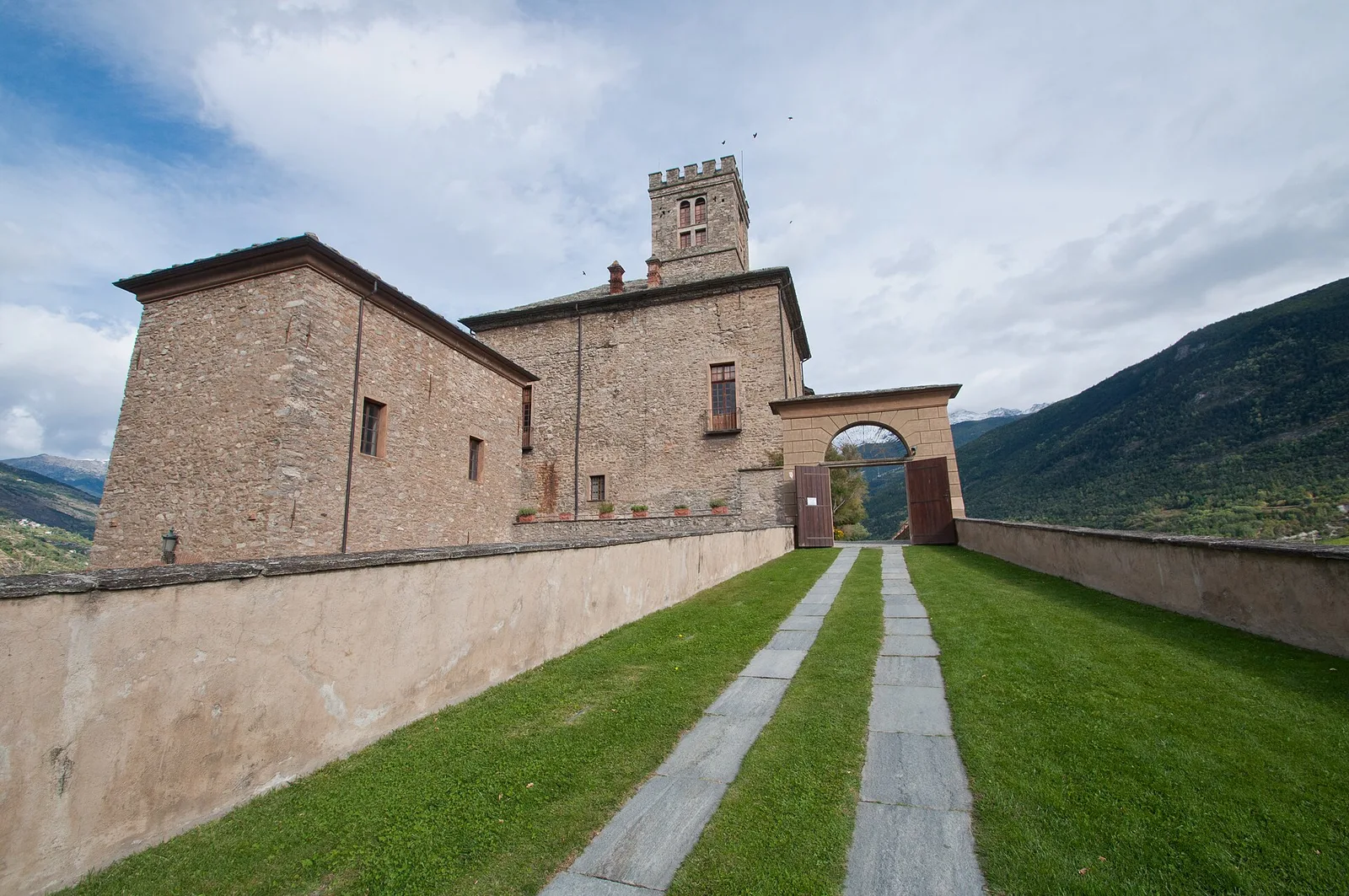
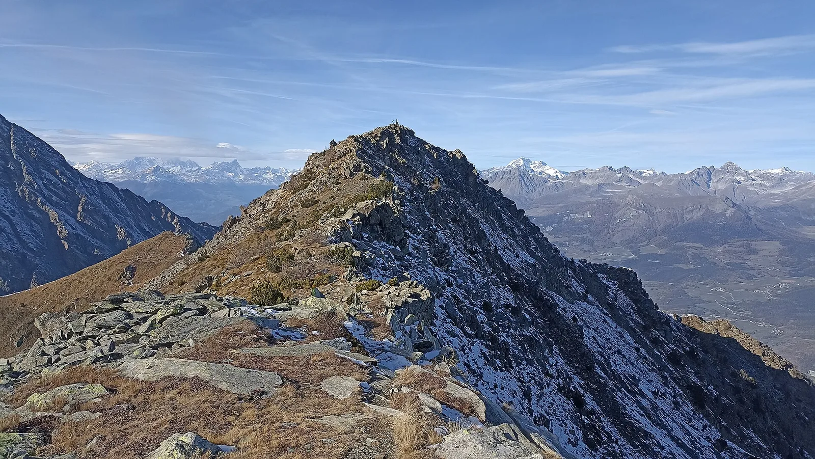
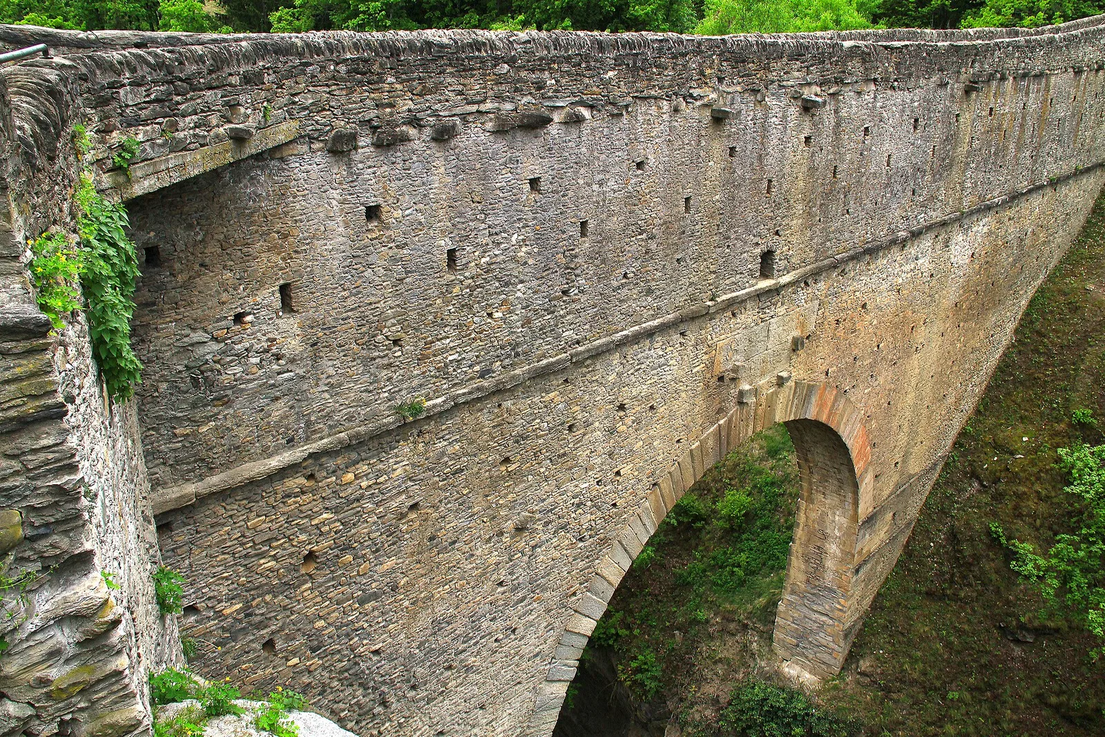
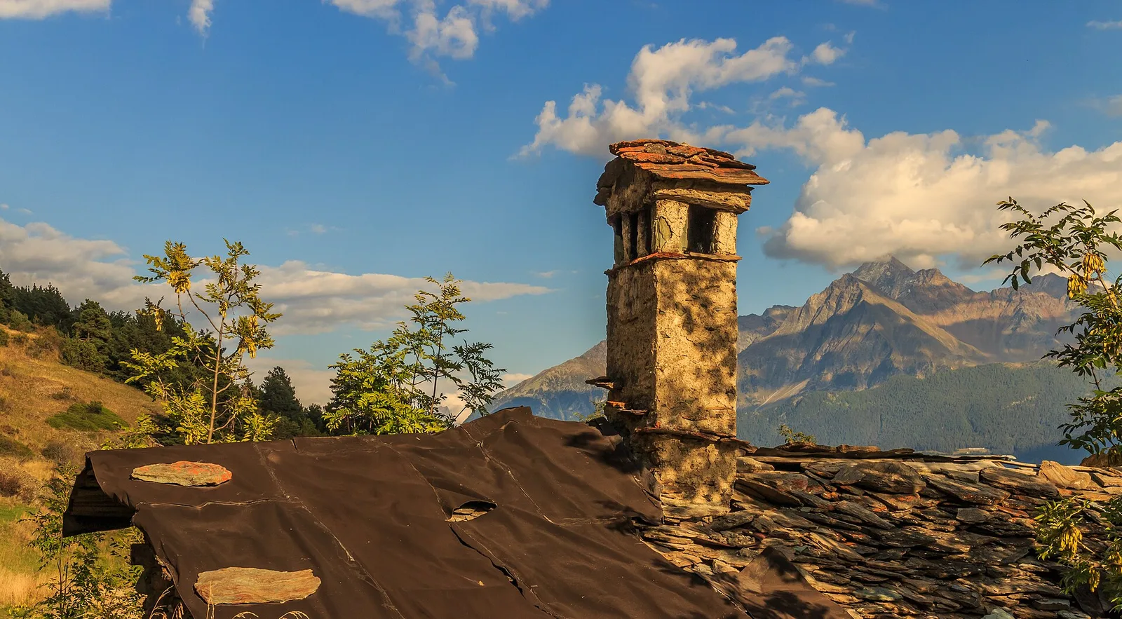
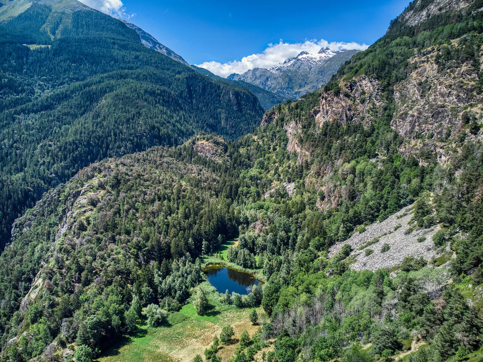
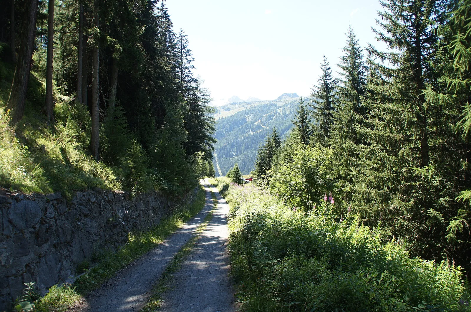
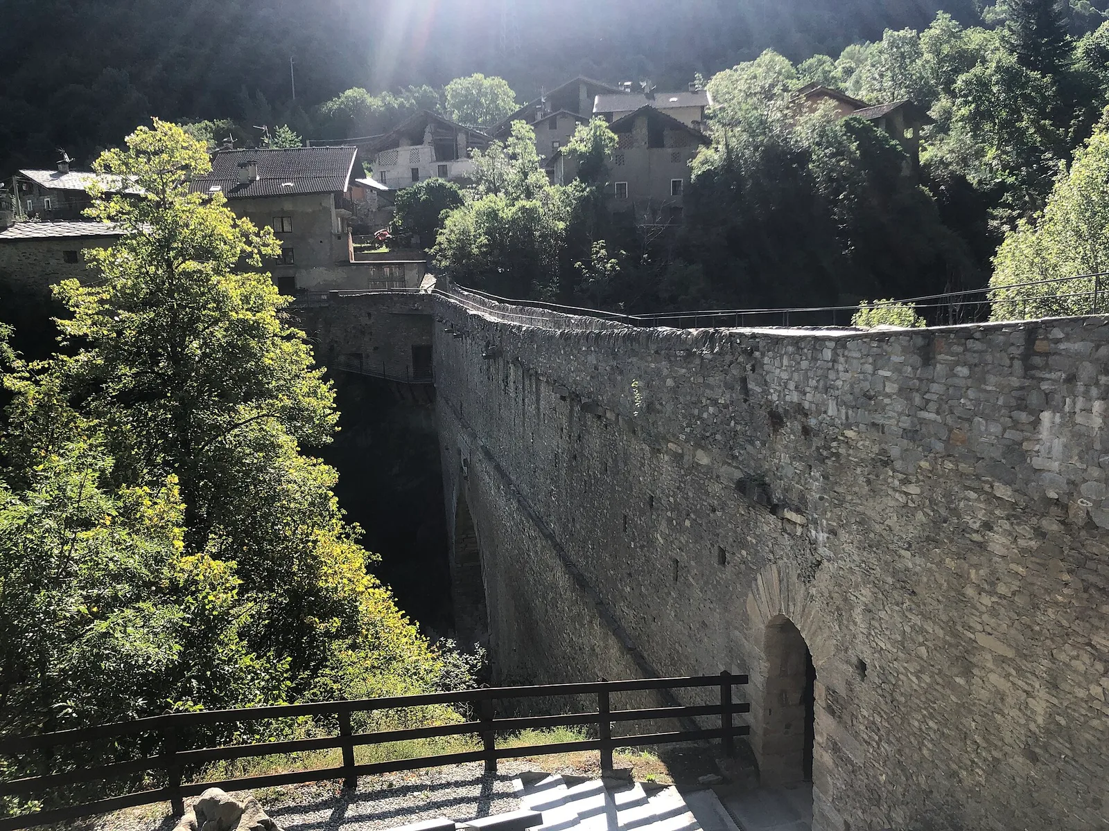
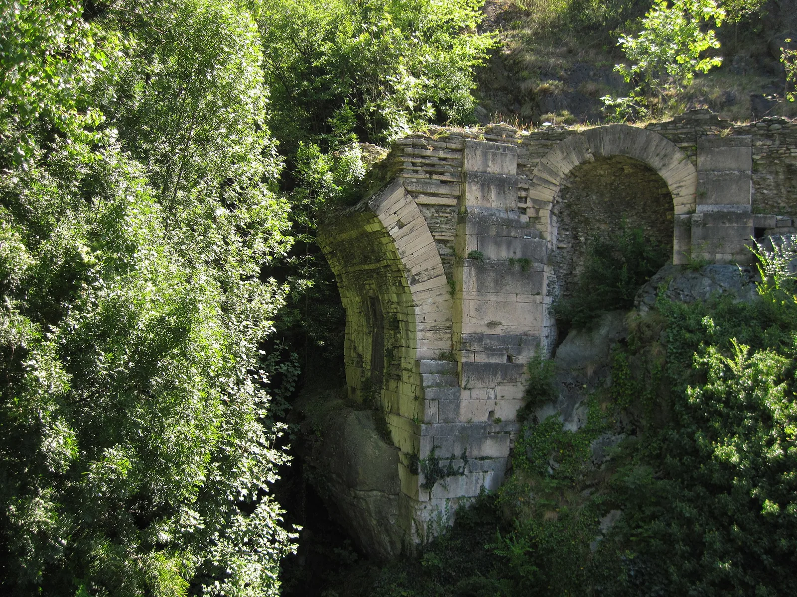
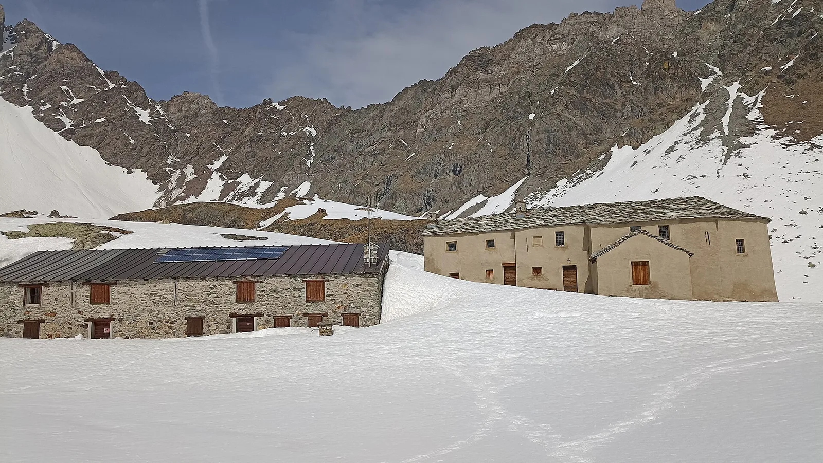
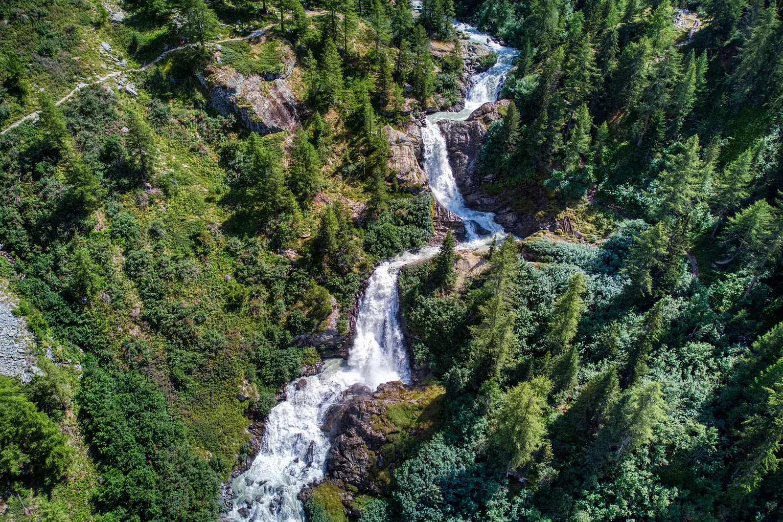
From the Roman Pont d'Ael (3 BC) at Pondel, a sustained climb into the wild Grand Eyvia valley to the quiet alp of Petit Poignon.
Valsavarenche
6.3 km · +873 m · E — from Pont to Col du Grand- Collet (Ayas Valley).
Valle centrale
2.1 km · +157 m · E — from Ponte delle Capre to Ussel (Valdigne).
Valle centrale
From the Dora Baltea bridge (500 m) to Verthuy (1058 m) above Châtillon: 568 m in 3.6 km. Quick transition from valley floor to terraced meadows.
Valle del Lys
1.8 km · +448 m · E — from Posa to Saroun (Lys Valley).
Valtournenche
1.4 km · +500 m · E — from Poutaz to Triatel (Valtournenche).
Valtournenche
2.7 km · +556 m · E — from Confine comunale Antey -Torgnon to Triatel (Valpelline).
Val Ferret
6.8 km · +1257 m · E — from Pra Sec to Colle Battaglione Aosta (Great St Bernard Valley).
Val d'Ayas
4.7 km · +742 m · E — from Quinçod to Leuriaz (Ayas Valley).
Valle del Gran San Bernardo
1 km · +250 m · E — from Saint-Oyen to Eternod (Great St Bernard Valley).
Valpelline
3.3 km · +665 m · E — from Servaz to Rifugio Oratorio di Cunéy (Valpelline).
Valle centrale
2.1 km · +740 m · EE — from Servettaz to Druges (Lys Valley).
Bassa Valle
2.4 km · +355 m · E — from Strada to Omens (Valtournenche).
La Thuile
6.5 km · +876 m · E — from Strada Piccolo San Bernardo (tornante quota 1861) to Laityre (Lys Valley).
La Thuile
10 km · +1197 m · E — from Capoluogo to Rifugio Deffeyes (Lys Valley).
Valle centrale
6 km · +977 m · E — from Terme to Col de Joux (Valtournenche).
La Thuile
2.6 km · +97 m · E — from Thovex to Granges (Lys Valley).
Valle centrale
6.4 km · +1110 m · E — from Tillier to Druges (Lys Valley).
Valpelline
A scenic loop above Bionaz, from La Culoz via Mont Echeut and Sevey: 1,200 metres of ascent among alps and balconies over Valpelline.
Valpelline
6.1 km · +1467 m · E — from Montcorvé to Col Arpeyssaou, biv. La Lié (Valtournenche).
Valle del Lys
1.8 km · +241 m · E — from Weissmatten to Colle di Garda (Champorcher Valley).