La Thuile - Rifugio Deffeyes
 1 / 2
1 / 28.9 km
+968 m
−0 m
4.5 h
Nivel físico
Mapa y ruta
Traza GPX — verifica sobre el terreno antes de caminar
Descripción
Puntos clave
Salida
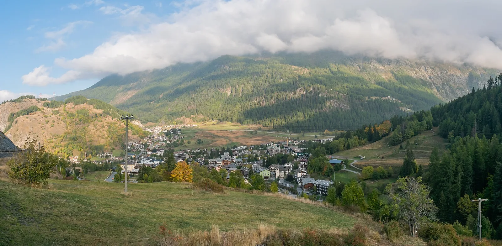
La Thuile, Thovex · 1535 m
Llegada
Rifugio Deffeyes · 2500 m
Sendero
S35
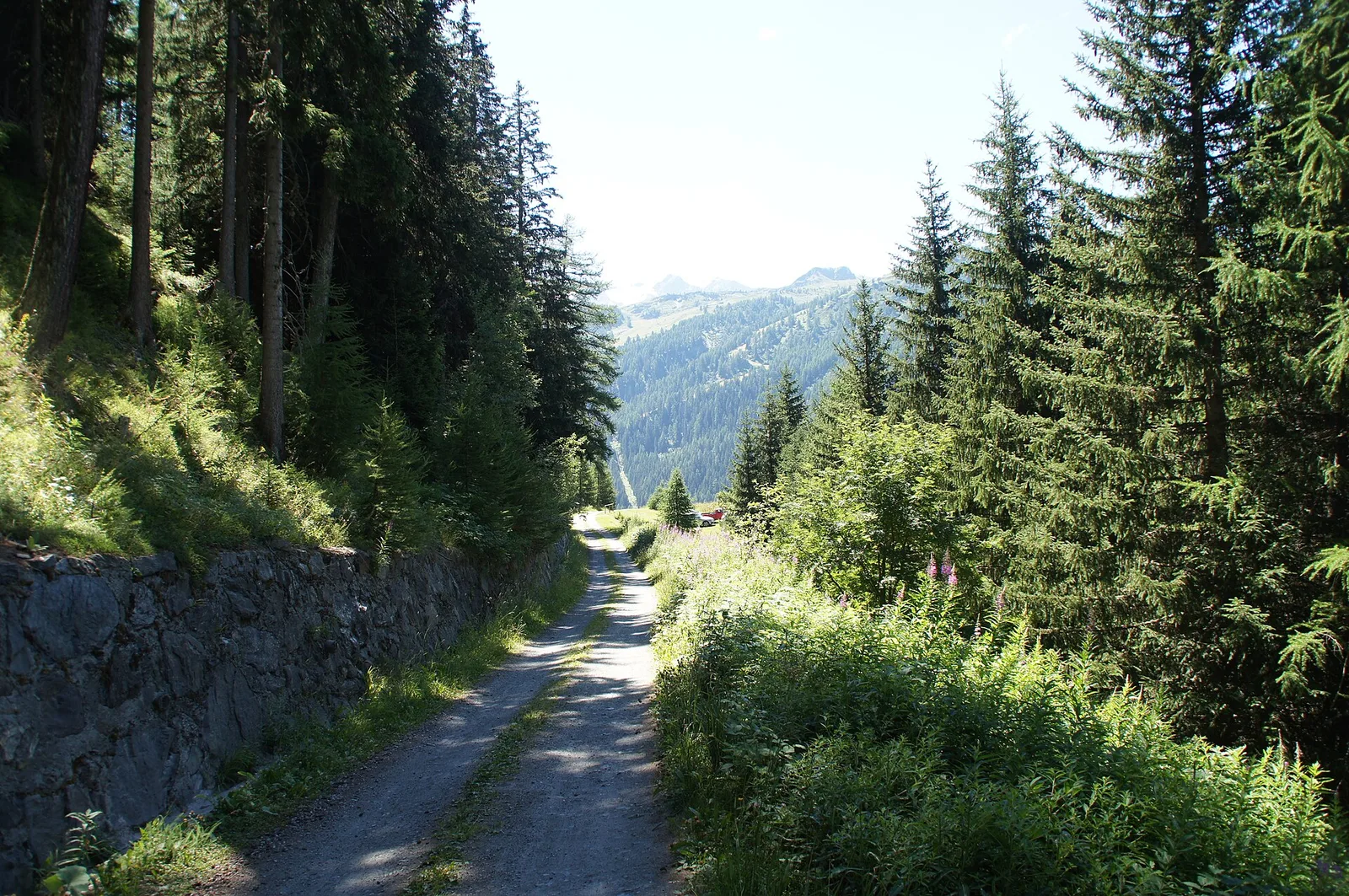
La Thuile - Rifugio Deffeyes is an official trail from the Aosta Valley trail registry (code 41_S35). The route lies in the municipality of Lillianes, in the Lys Valley. From La Thuile, Thovex (1535 m) to Rifugio Deffeyes (2500 m): 8.9 km with +968 m of elevation change, difficulty E (CAI scale). Minimum elevation 1535 m, maximum 2500 m. Recommended season per registry: Metà giugno-settembre (months 9). GPX track and elevation data from Regione Autonoma Valle d'Aosta (open data DGR 899/2014).
Aparcamiento
Refugios y vivacs
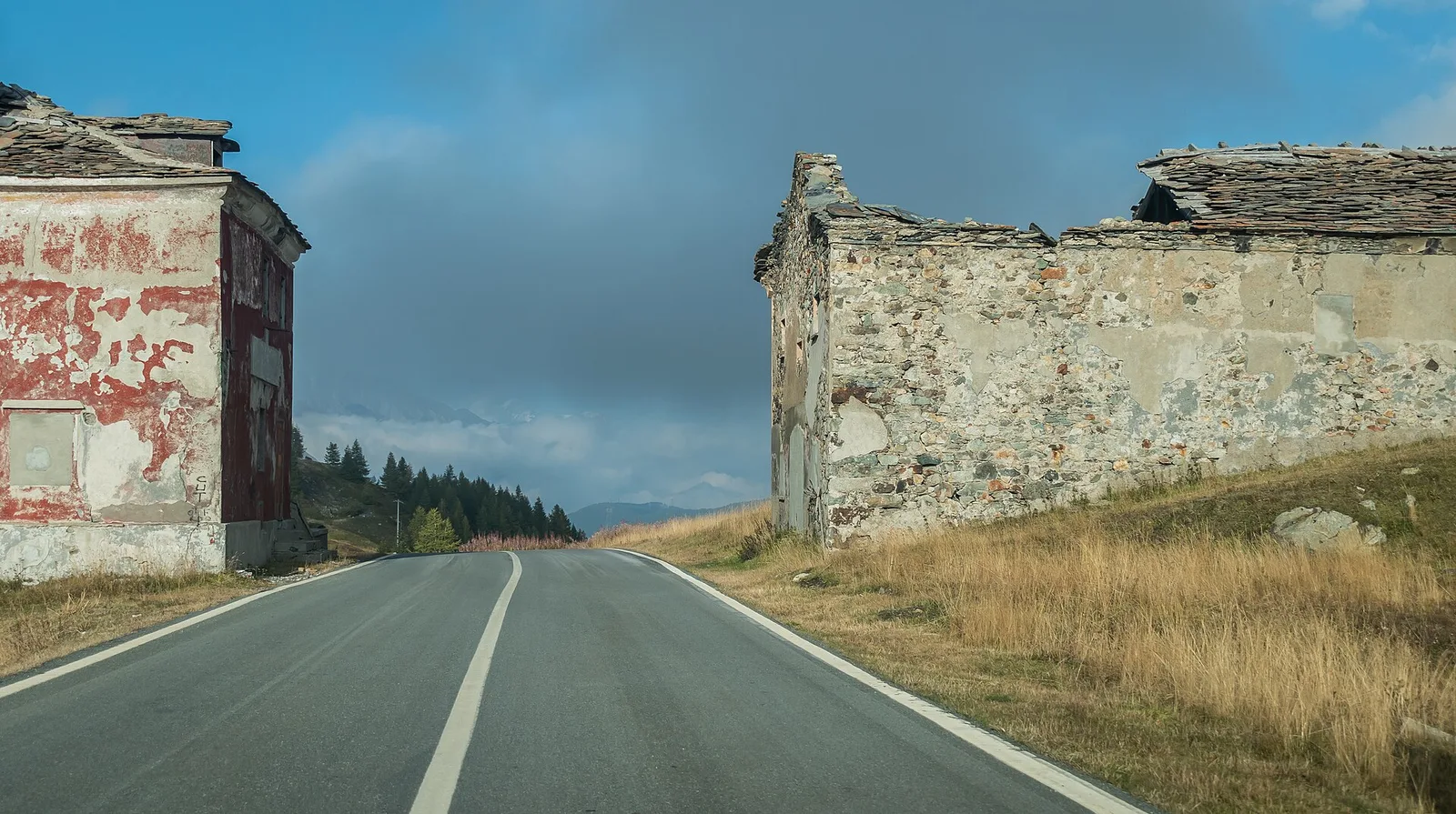
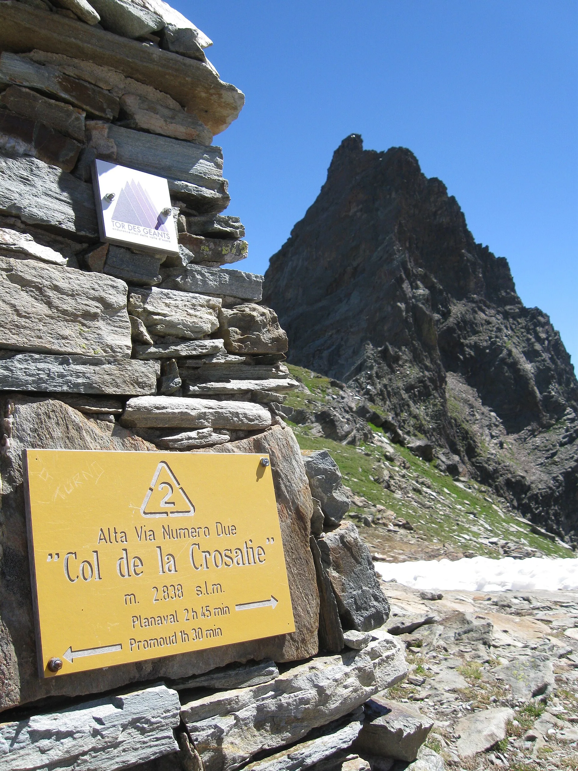
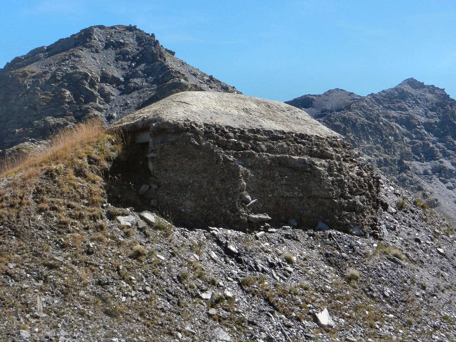
Galería de fotos
Photos are published immediately. JPG/PNG/WebP, max 6 MB.
Flora del sendero
Fauna que observar
AEditado y verificado por Andrea Rama
Fuente de datos: Catasto Sentieri Regione Autonoma VdA · Open data — DGR 899/2014
Última verificación:
La Thuile
Senderos relacionados
Mismo valle o rutas similares — más excursiones por descubrir.
La Thuile
Bivio Vallone des Chavannes - Colle del Piccolo San Bernardo
5.2 km · +578 m · E — from Bivio Vallone des Chavannes to Colle del Piccolo San Bernardo (Lys Valley).
La Thuile
Chabodey - Passo Alto (Haut-Pas)
9.9 km · +1873 m · E — from Chabodey to Passo Alto (Haut-Pas) (La Thuile).
La Thuile
Col de la Fouclaz - Mont-Valaisan
4 km · +440 m · E — from Col de la Fouclaz to Mont-Valaisan (Lys Valley).
La Thuile
Col des Orgères
9 km · +1272 m · E — from Capoluogo to Col des Orgères (Lys Valley).