E
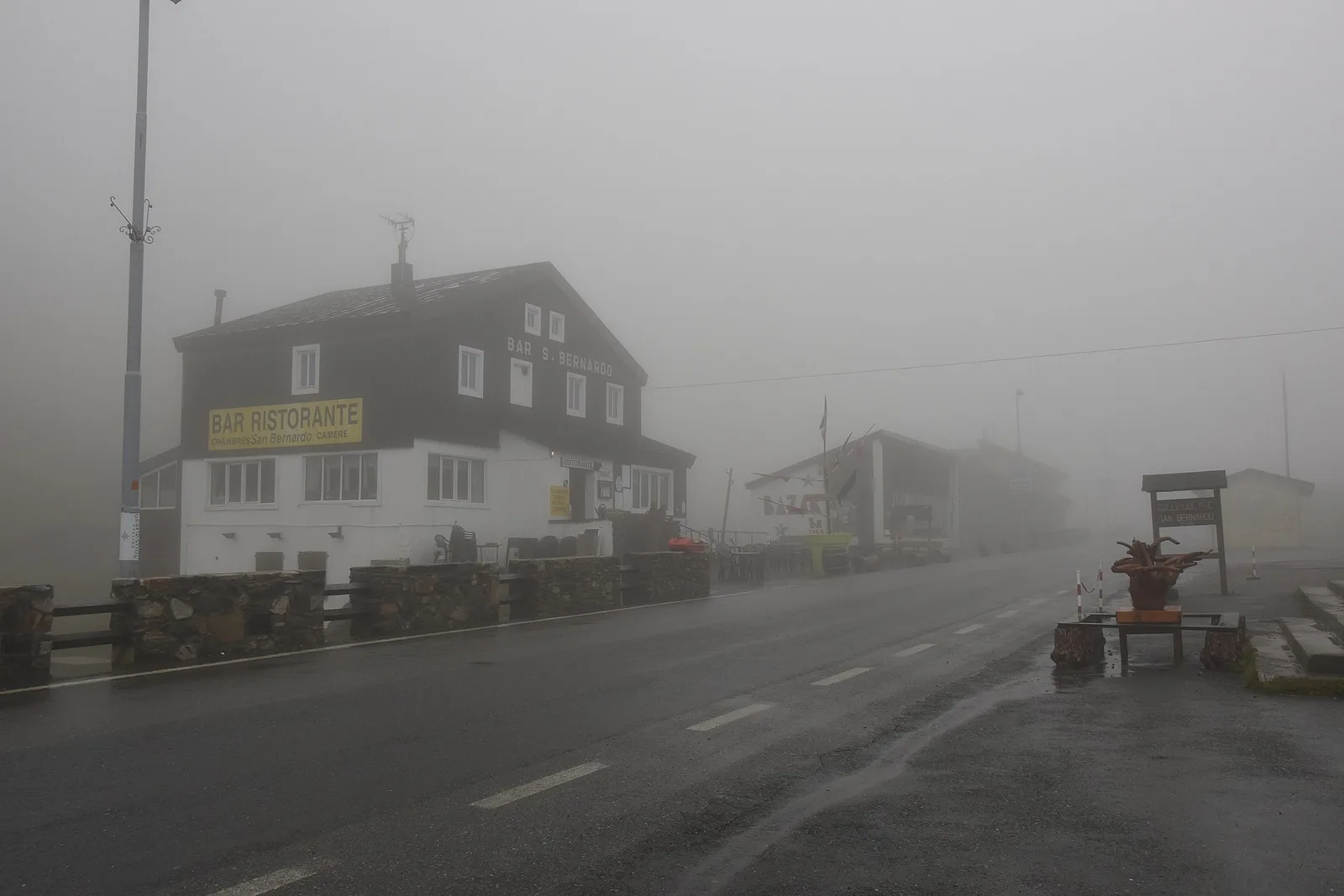
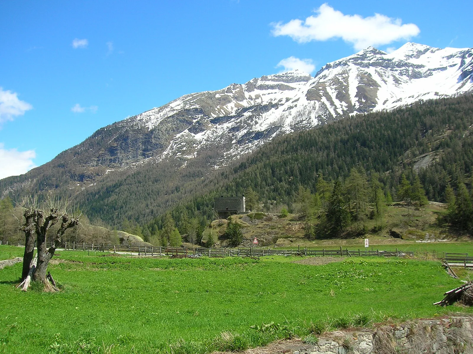
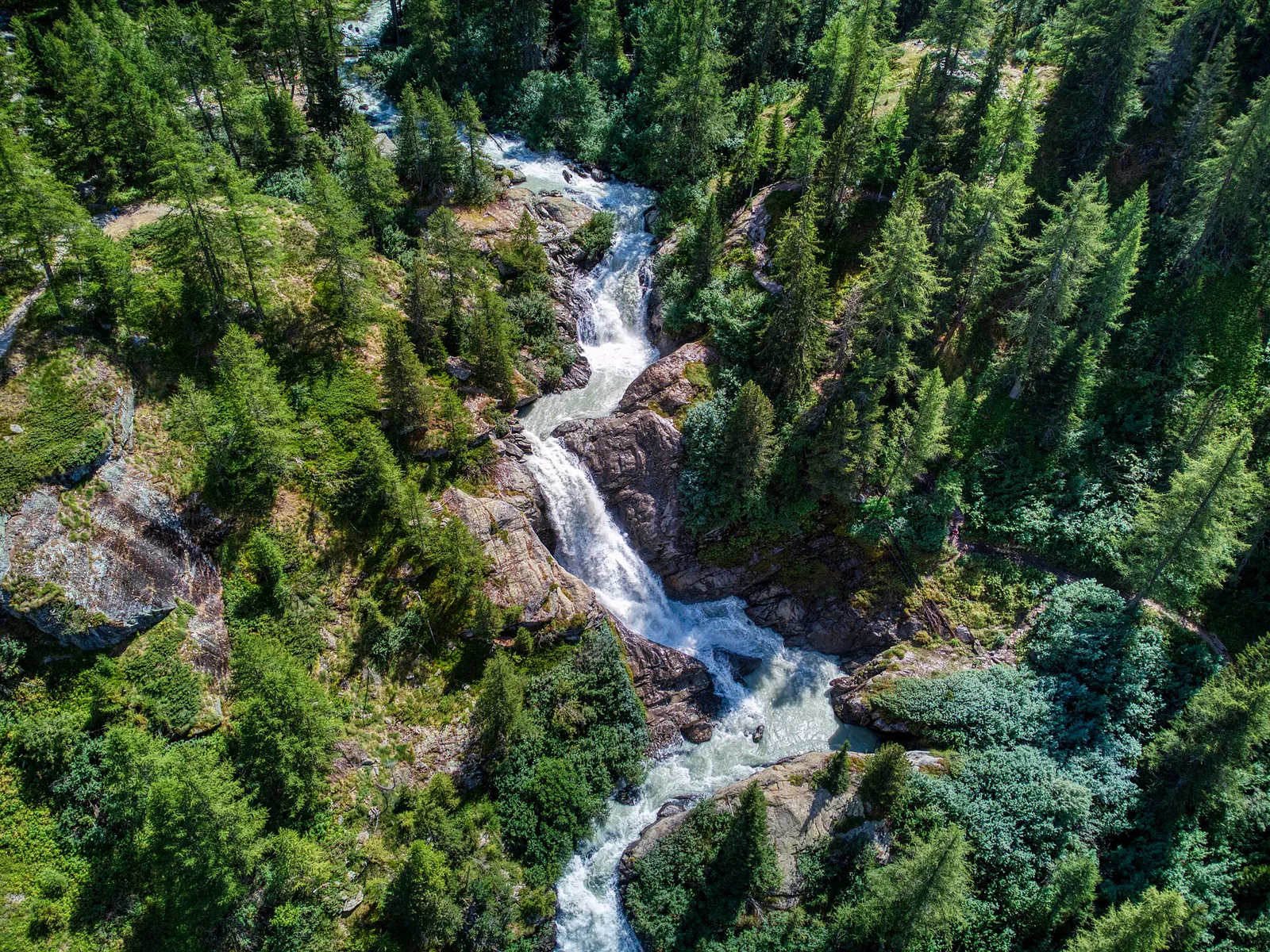
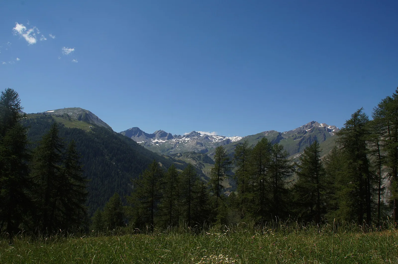
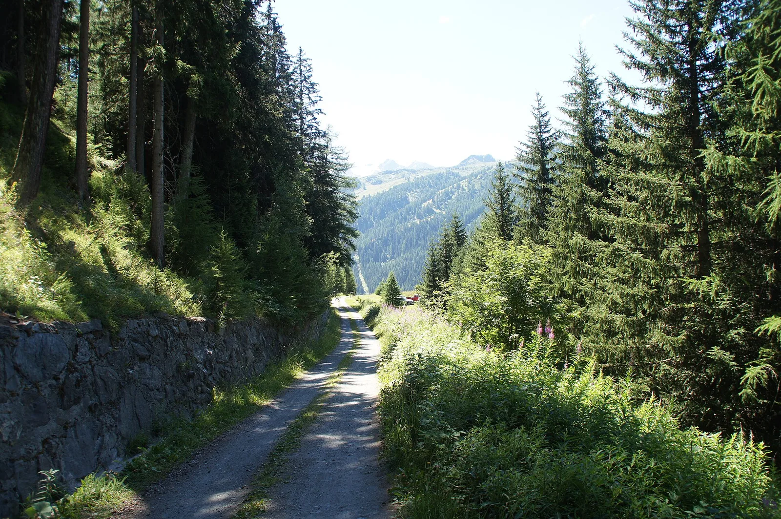
La Thuile
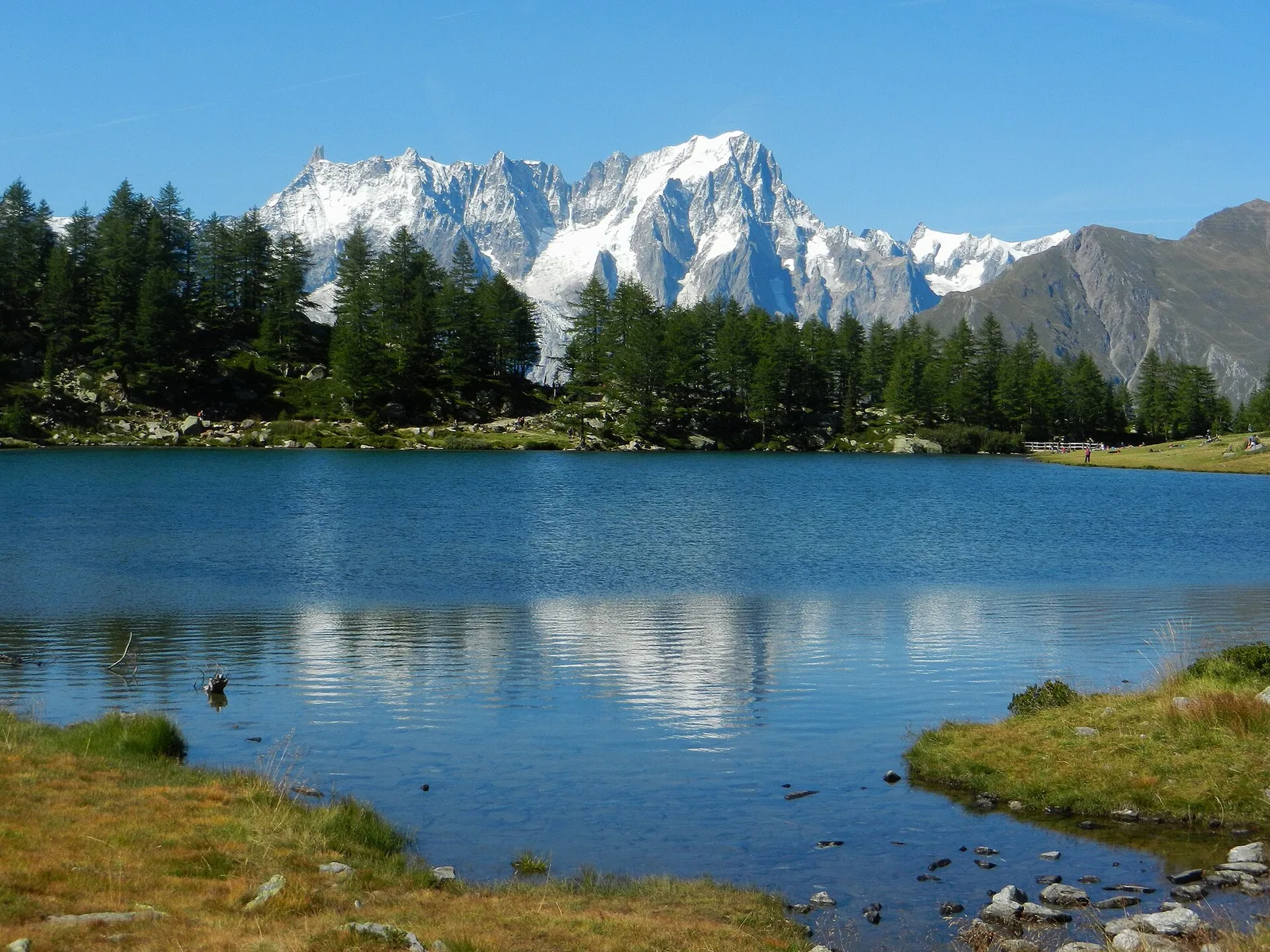
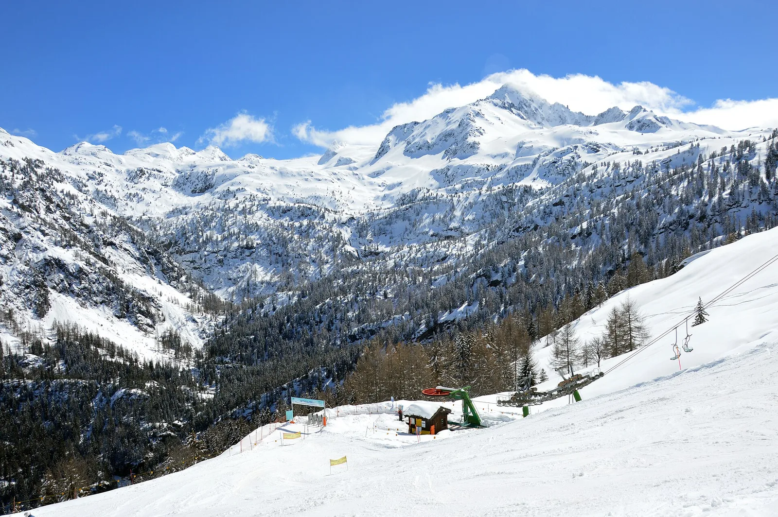
High Route 2 — Stage 3: La Thuile → Promoud
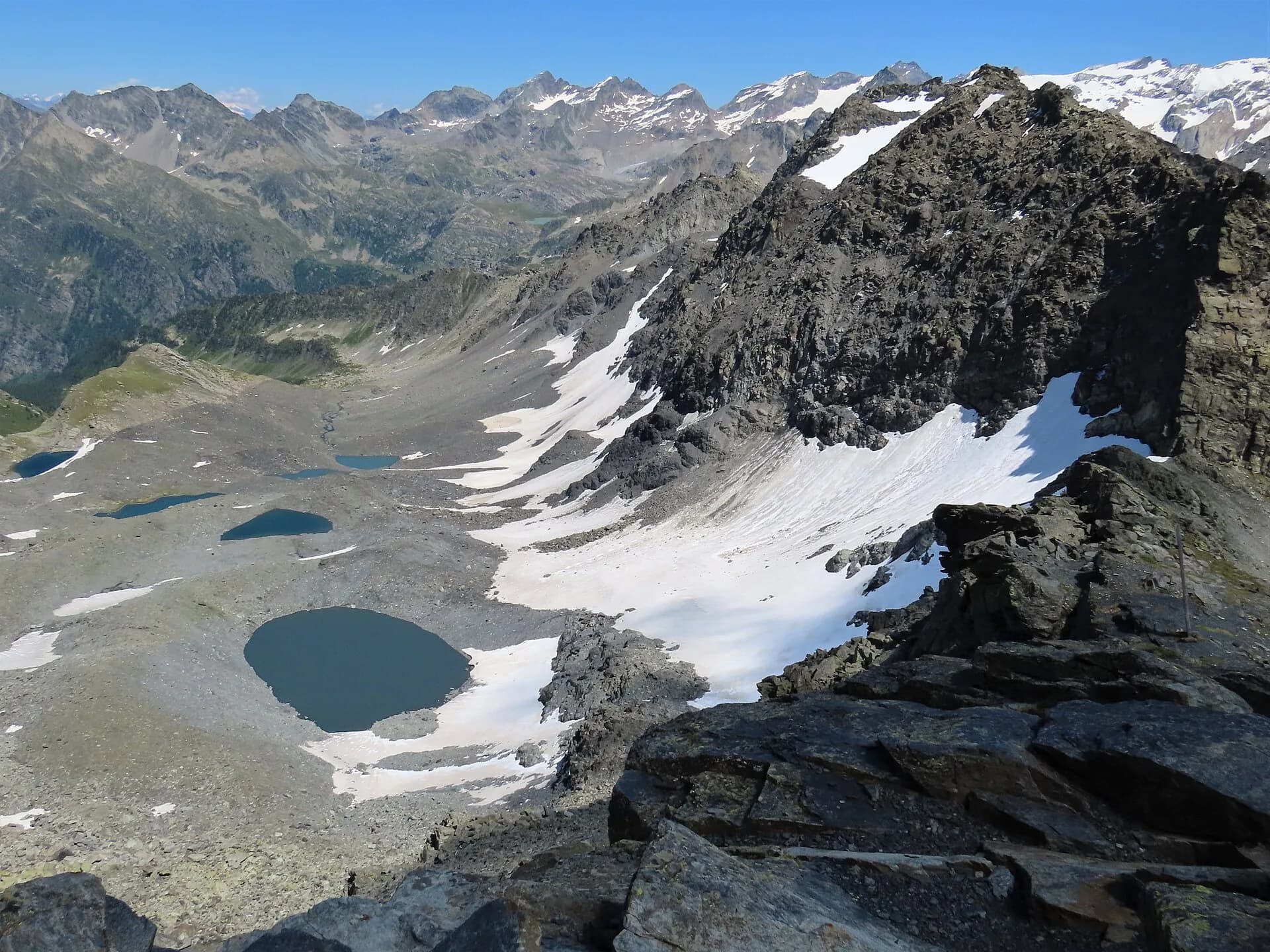
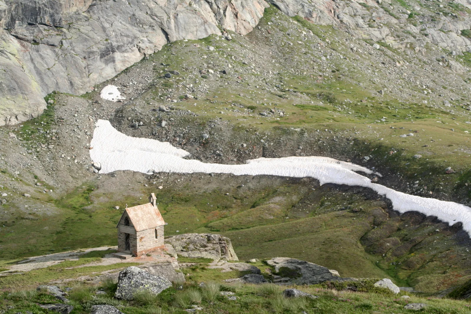
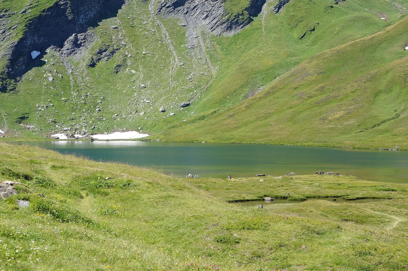
Climb to Rifugio Deffeyes and Promoud bivouac in the Rutor valley.
16 km+1428 m7 h
Trails by valley
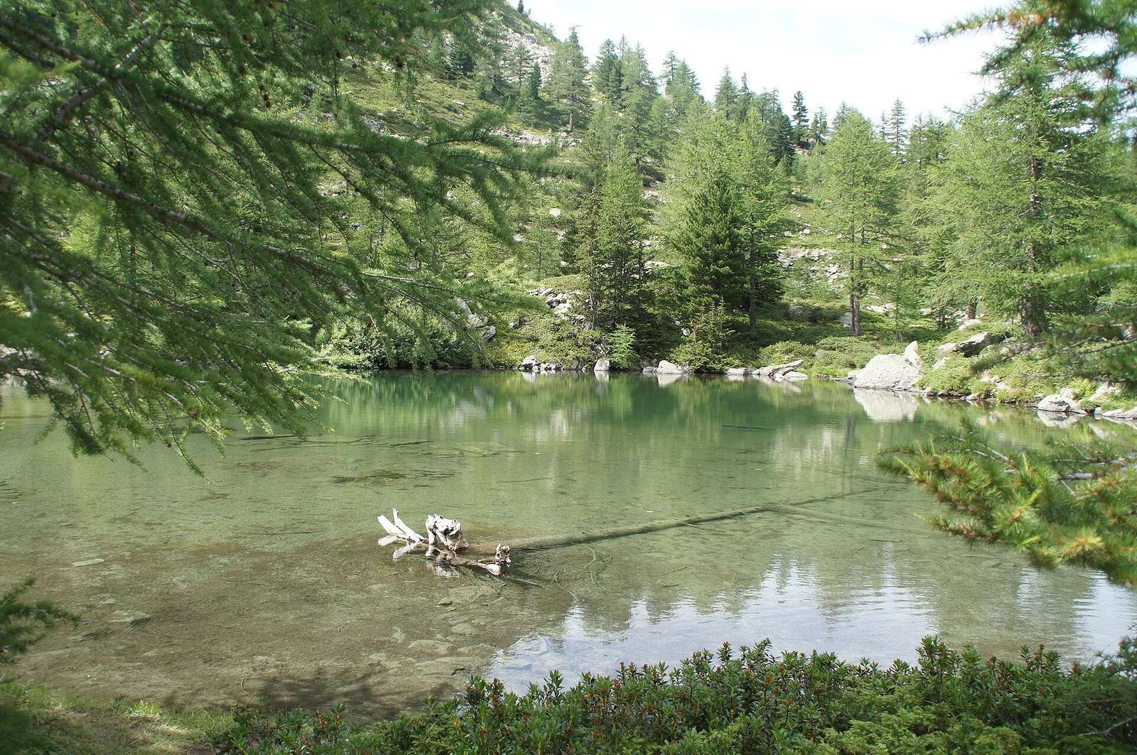
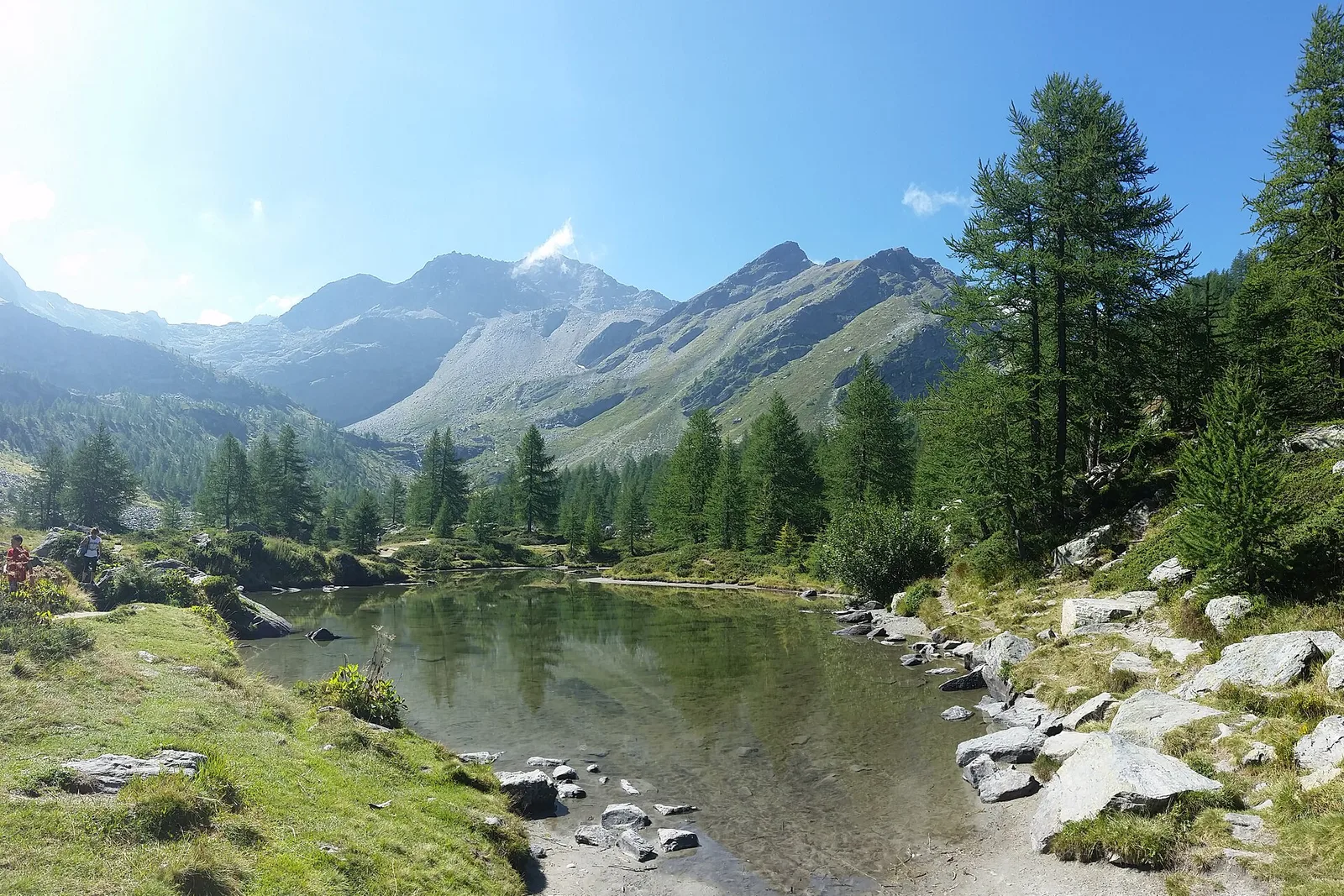
33 documented trails in La Thuile: difficulty E–EE, elevation gain 0–1873 m.
33 · 1.9–17.1 km · +0–1873 m
La Thuile
Climb to Rifugio Deffeyes and Promoud bivouac in the Rutor valley.
La Thuile
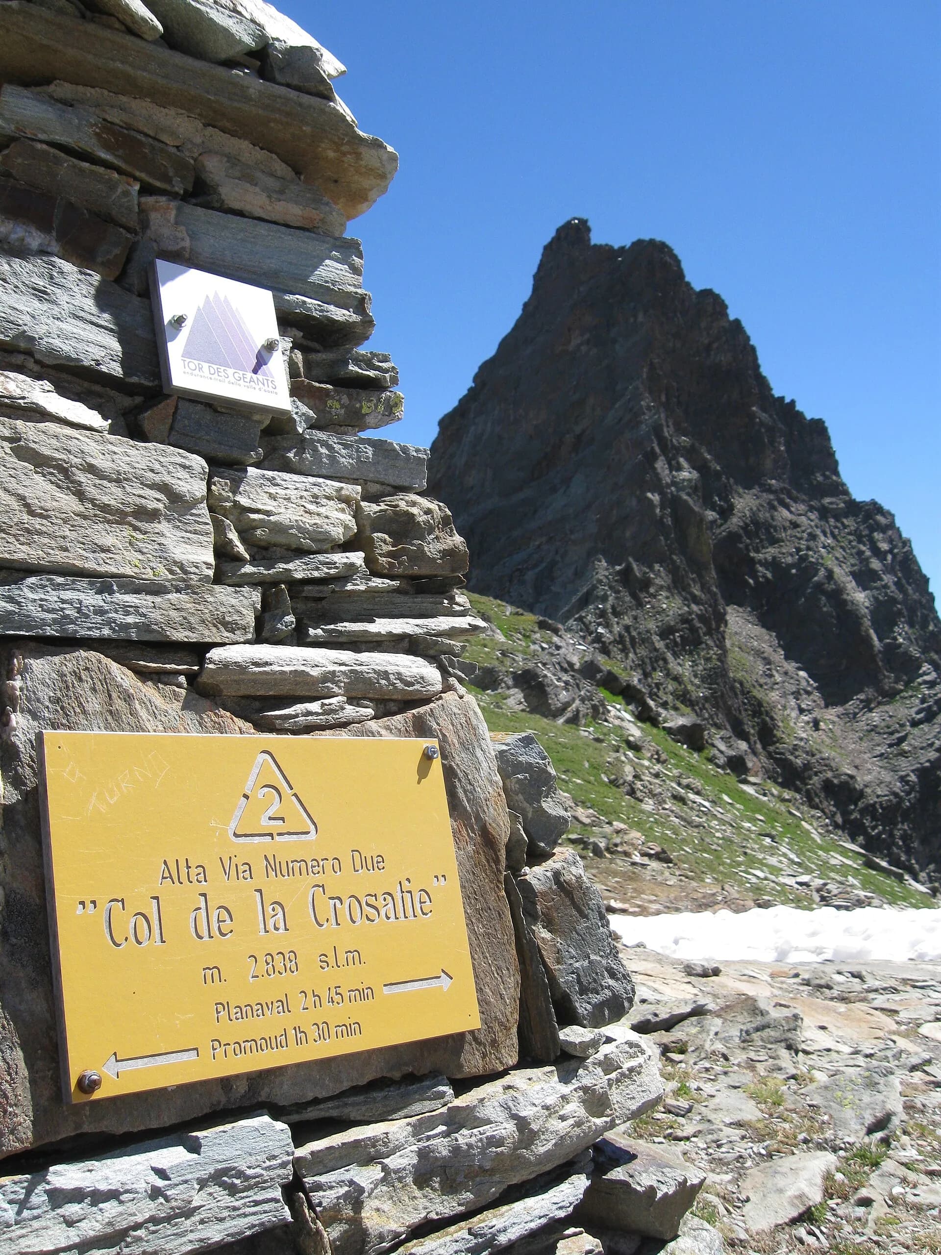
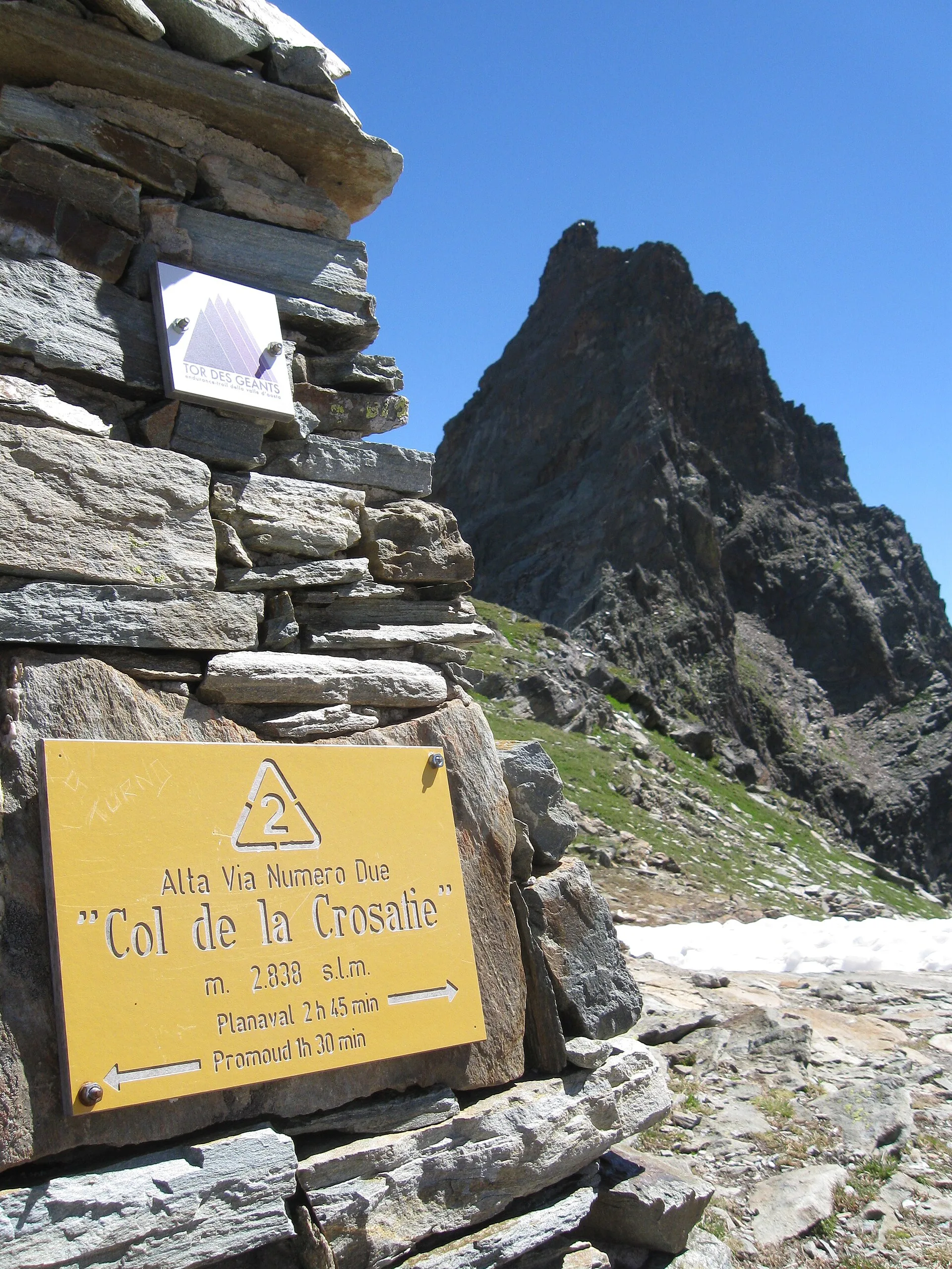
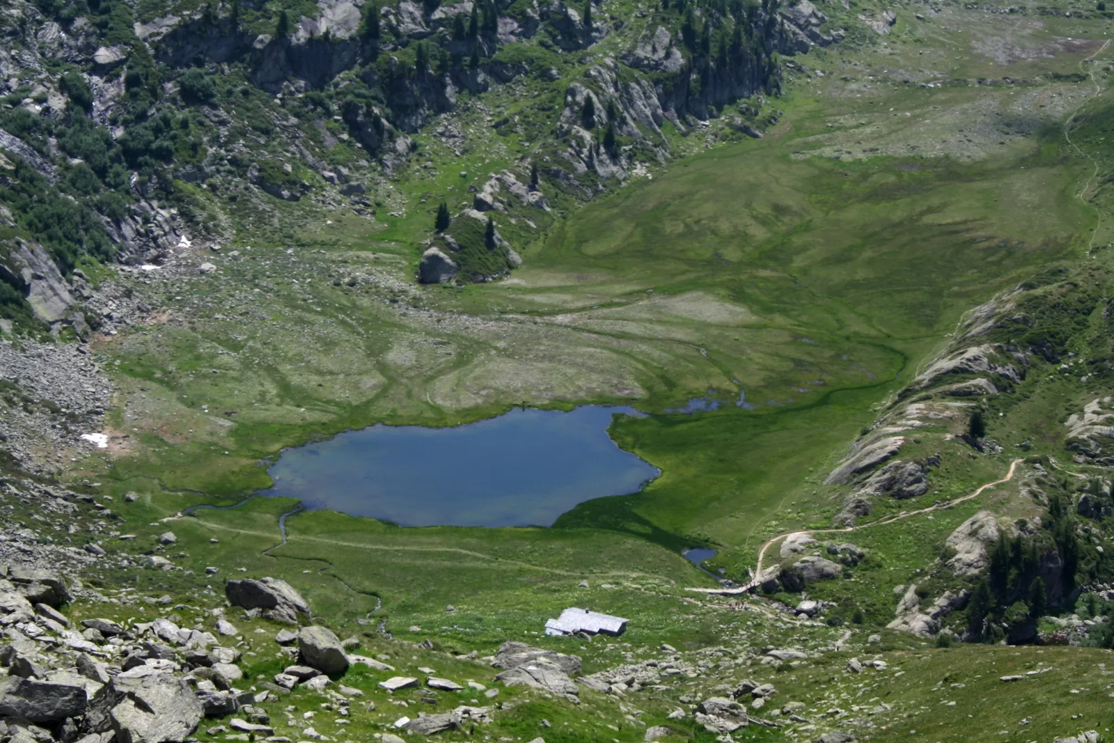
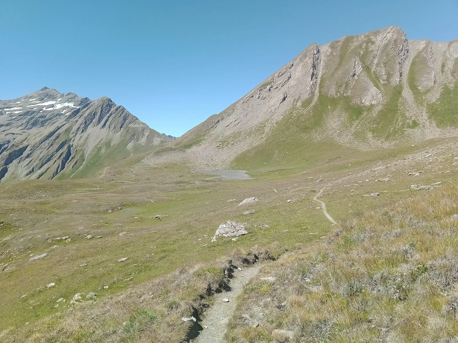
Cross Col de la Crosatie and descend toward Planaval in Valgrisenche.
La Thuile
5.2 km · +578 m · E — from Bivio Vallone des Chavannes to Colle del Piccolo San Bernardo (Lys Valley).
La Thuile
9.9 km · +1873 m · E — from Chabodey to Passo Alto (Haut-Pas) (La Thuile).
La Thuile
4 km · +440 m · E — from Col de la Fouclaz to Mont-Valaisan (Lys Valley).
La Thuile
9 km · +1272 m · E — from Capoluogo to Col des Orgères (Lys Valley).
La Thuile
5.2 km · +435 m · E — from Col Saint-Charles to Col de la Croix (Central Valley).
La Thuile
4.8 km · +342 m · E — from Colle Piccolo San Bernardo to Mont-Belvedere (confine di stato) (Lys Valley).
La Thuile
9.6 km · +1181 m · E — from Faubourg to Col d'Arp (Lys Valley).
La Thuile
13.6 km · +1159 m · E — from Faubourg to Col des Chavannes (Lys Valley).
La Thuile
8.3 km · +1070 m · E — from Joux to Rifugio Deffeyes (Lys Valley).
La Thuile
6.1 km · +889 m · E — from Joux to Rifugio Deffeyes (Lys Valley).
La Thuile
From La Clusaz (1,660 m) to the high-alpine Pas de Planaval (3,013 m) in the Valdigne: 7.5 km and 1,356 m of ascent, EE difficulty.
La Thuile
6.1 km · +1012 m · E — from La Thuile to Cappella di San Grato/Santa Margherita (Lys Valley).
La Thuile
4.8 km · +926 m · E — from La Thuile to Col de la Croix (Lys Valley).
La Thuile
8.9 km · +968 m · E — from La Thuile, Thovex to Rifugio Deffeyes (Lys Valley).
La Thuile
1.9 km · +314 m · E — from Lac d'Arpy to Col de la Croix (Central Valley).
La Thuile
2.9 km · +549 m · E — from Lac d'Arpy to Colle Comba Sorda (Col Cormet) (Central Valley).
La Thuile
6.6 km · +790 m · E — from Joux to Laghi di Bella Comba (Lys Valley).
La Thuile
5.7 km · +637 m · E — from Col Saint-Charles to lago di Pietra Rossa (Central Valley).
La Thuile
4.5 km · +643 m · E — from Parcheggio Area camper to Souches (Lys Valley).

La Thuile
11.4 km · +1418 m · E — from Parcheggio Area camper to Col de la Lex Blanche (Lys Valley).
La Thuile
6.3 km · +643 m · E — from Parcheggio Area camper to Souches (Lys Valley).
La Thuile
4.8 km · +626 m · E — from Petosan to Col de la Croix (Lys Valley).
La Thuile
2.9 km · +375 m · E — from Rifugio Deffeyes to Haut Pas (Passo Alto) (Lys Valley).
La Thuile
4.6 km · +583 m · E — from Rifugio Deffeyes to Pas de Planaval (Lys Valley).
La Thuile
9 km · +1264 m · E — from Joux to Colle passo Alto (Lys Valley).
La Thuile
5.9 km · +405 m · E — from Souches to Mont-Belvedere (Lys Valley).
La Thuile
5.4 km · +474 m · E — from Str Picc S-Bernardo (parch.Lac Verney) to Lacs de la Pointe Rousse (Lys Valley).
La Thuile
6.5 km · +876 m · E — from Strada Piccolo San Bernardo (tornante quota 1861) to Laityre (Lys Valley).
La Thuile
17.1 km · +0 m · E — from Rifugio Elisabetta to Capoluogo (Great St Bernard Valley).
La Thuile
10 km · +1197 m · E — from Capoluogo to Rifugio Deffeyes (Lys Valley).
La Thuile
2.6 km · +97 m · E — from Thovex to Granges (Lys Valley).