Ponte Dora Baltea - Verthuy
3.6 km
+568 m
−0 m
2.5 h
Nivel físico
Mapa y ruta
Traza GPX — verifica sobre el terreno antes de caminar
Descripción
Puntos clave
Salida
Ponte sulla Dora Baltea · 500 m
Llegada
Verthuy · 1058 m
Sendero
S1
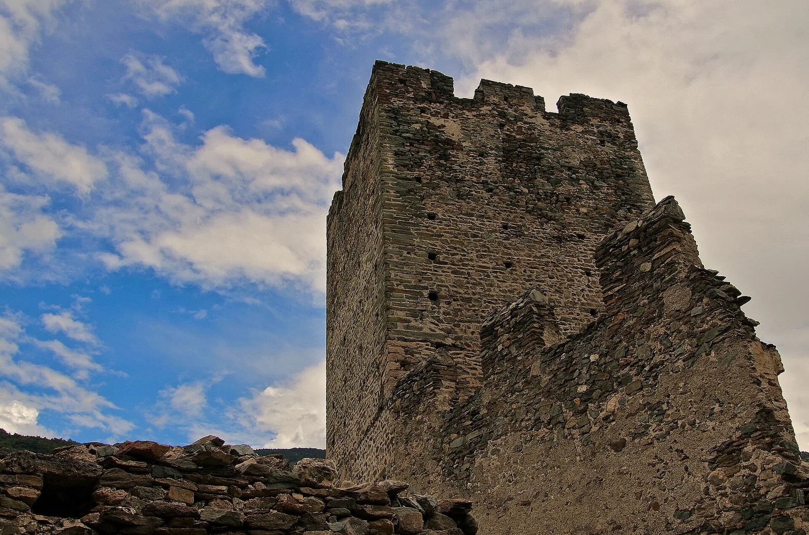
Short but striking, this trail leaves from the Dora Baltea bridge at only 500 m — among the lowest starting points in the Aosta Valley trail network — and climbs steadily up the left bank of the Valtournenche to the hamlet of Verthuy at 1058 m. In 3.6 km the path moves from an almost Mediterranean landscape of vines and oak woodland to the terraced meadows above Châtillon. No technical difficulties, but the gradient is constant; in summer the valley-floor heat makes midday departures inadvisable.
Aparcamiento
Galería de fotos
Photos are published immediately. JPG/PNG/WebP, max 6 MB.
Flora del sendero
Fauna que observar
AEditado y verificado por Andrea Rama
Fuente de datos: Catasto Sentieri Regione Autonoma VdA · Open data — DGR 899/2014
Última verificación:
Valle centrale
Senderos relacionados
Mismo valle o rutas similares — más excursiones por descubrir.

Valle centrale
Anello del Verrand
2.6 km · +233 m · E — from Château Verrand to Château Verrand (Rhêmes Valley).

Valle centrale
Area giochi Croux - Parleyaz
4.1 km · +476 m · E — from Area giochi Croux to Parleyaz (Central Valley).

Valle centrale
Arlier - Cloutraz (Pontey)
From Arlier (603m) to Cloutraz (1067m) on the Châtillon hillside: 3.5 km E through vineyards, woodland and views over the Dora Baltea.

Valle centrale
Arpilles - Champromenty
2.1 km · +333 m · E — from Arpilles to Champromenty (Lys Valley).