Lignod -Crépin - Praz Charbon
3.3 km
+0 m
−137 m
1 h
Nivel físico
Mapa y ruta
Traza GPX — verifica sobre el terreno antes de caminar
Descripción
Puntos clave
Salida
Strada per Lignod · 1617 m
Llegada
Praz Charbon · 1531 m
Sendero
S2
A gently descending traverse connecting the rural hamlets of Lignod (1617 m) and Praz Charbon (1531 m) in the municipality of Avise, in the Valle Centrale. With a modest negative elevation of just 137 metres over 3.3 kilometres, this path requires no technical ability and suits walkers of all ages. The route winds between stable meadows, dry-stone walls, fountains, and traditional stone buildings — rascard, barns, and small mills — offering an authentic glimpse into the agricultural heritage of the Aosta Valley. A quiet, reflective walk through centuries of mountain rural culture.
Aparcamiento
Galería de fotos
Photos are published immediately. JPG/PNG/WebP, max 6 MB.
Fauna que observar
AEditado y verificado por Andrea Rama
Fuente de datos: Catasto Sentieri Regione Autonoma VdA · Open data — DGR 899/2014
Última verificación:
Val d'Ayas
Senderos relacionados
Mismo valle o rutas similares — más excursiones por descubrir.

Val d'Ayas
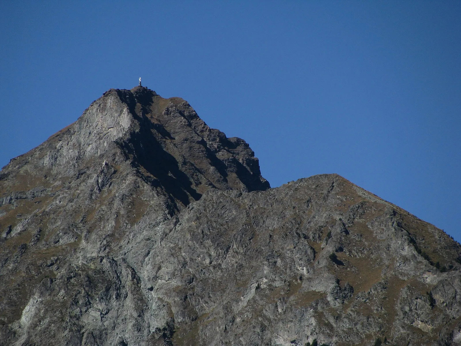
Amponey - Becca Trecare
A demanding EE ascent from Amponey to Becca Trecare at 3032m — nearly 1500m of gain on varied terrain with sweeping summit views.

Val d'Ayas
Amponey - Alpe Mascognaz
1.8 km · +309 m · E — from Amponey to Alpe Mascognaz (Central Valley).

Val d'Ayas
Amponey - Bec de Nannaz
In the Val d'Ayas, Ayas: an E-rated climb toward a high-altitude objective through pastures and rock with views of Monte Rosa.

Val d'Ayas
Amponey - Mont Facebelle
In the Val d'Ayas, Ayas: an E/EE-rated climb toward a high-altitude objective in the alpine landscape.