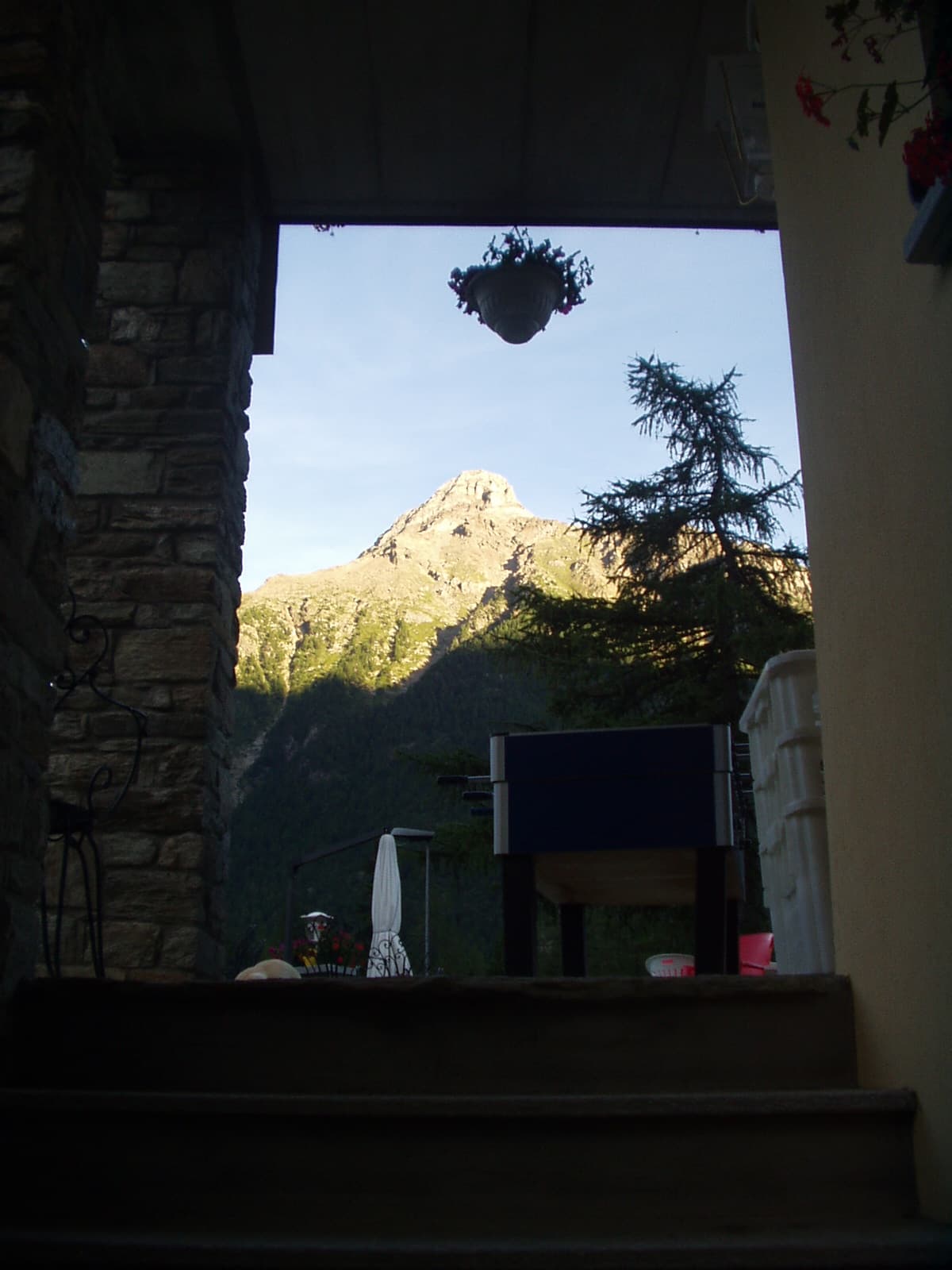
Chanté - Mont Saron

5.5 km
+1249 m
−0 m
4.5 h
Nivel físico
Mapa y ruta
Traza GPX — verifica sobre el terreno antes de caminar
Descripción
Puntos clave
Salida
Chanté, bivio strada per Daillon · 1434 m
Llegada
Mont Saron · 2679 m
Sendero
S2
The trail from Allein to Valpelline crosses the ridge separating the two valleys, linking the village of Allein with the upper Valpelline in a panoramic mid-altitude route. The walk begins from Allein centre (1248 m). The path climbs toward high pastures across open terrain with wide views over the Gran San Bernardo and the Valpelline below, before descending toward the opposite valley floor. The E rating marks a route suited to normally fit hikers.
Aparcamiento
Galería de fotos
Photos are published immediately. JPG/PNG/WebP, max 6 MB.
Fauna que observar
AEditado y verificado por Andrea Rama
Fuente de datos: Catasto Sentieri Regione Autonoma VdA · Open data — DGR 899/2014
Última verificación:
Valpelline
Senderos relacionados
Mismo valle o rutas similares — más excursiones por descubrir.

Valpelline
Bionaz (Plan Praz) - Place Moulin
Upper Valpelline, Bionaz: an E-rated route toward a glacial objective over open terrain.

Valpelline
Chamin - Bivacco della Sassa
From Chamin (1,732 m) to the Bivacco della Sassa (2,964 m) in the quiet Valpelline: 7.1 km and 1,246 m of ascent.

Valpelline
Champillon - Rifugio Letey - Col Champillon
3.1 km · +643 m · E — from Champillon to Col Champillon (Valtournenche).
Valpelline
Chez-Chenoux - Alpe Chardonney
From Chez-Chenoux the trail quickly clears the forest belt and opens onto the Comba di Vertsan pastures, climbing to the ruins of Alpe Chardonney (2519 m) in the quiet upper Valpelline.