Chez-Chenoux- Alpe Luseney
3 km
+775 m
−0 m
2.5 h
Nivel físico
Mapa y ruta
Traza GPX — verifica sobre el terreno antes de caminar
Descripción
Puntos clave
Salida
Chez-Chenoux · 1739 m
Llegada
Alpe Luseney · 2478 m
Sendero
S6
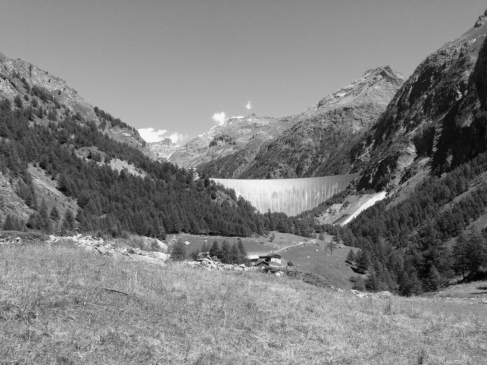
A short but demanding climb from Chez-Chenoux at 1739 m to Alpe Luseney at 2478 m in the Valpelline: just 3 km covering 775 m of elevation gain at a sustained steep gradient. The alp sits in a distinctive glacial cirque enclosed by ridges bearing clear signs of Quaternary glacial shaping. The path ascends directly through pastures and rocky clearings with few long switchbacks, demanding a steady, measured pace throughout. Rated E, the route is accessible to fit hikers without alpine equipment.
Aparcamiento
Galería de fotos
Photos are published immediately. JPG/PNG/WebP, max 6 MB.
Flora del sendero
Fauna que observar
AEditado y verificado por Andrea Rama
Fuente de datos: Catasto Sentieri Regione Autonoma VdA · Open data — DGR 899/2014
Última verificación:
Valpelline
Senderos relacionados
Mismo valle o rutas similares — más excursiones por descubrir.

Valpelline
Bionaz (Plan Praz) - Place Moulin
Upper Valpelline, Bionaz: an E-rated route toward a glacial objective over open terrain.

Valpelline
Chamin - Bivacco della Sassa
From Chamin (1,732 m) to the Bivacco della Sassa (2,964 m) in the quiet Valpelline: 7.1 km and 1,246 m of ascent.

Valpelline
Champillon - Rifugio Letey - Col Champillon
3.1 km · +643 m · E — from Champillon to Col Champillon (Valtournenche).

Valpelline
Chanté - Mont Saron
From Allein toward Valpelline across the panoramic ridge between the two valleys: an E-rated route over open pastures with views of the Gran San Bernardo.