Vedun - Charvaz (La Salle)
4.5 km
+297 m
−0 m
2 h
Nivel físico
Mapa y ruta
Traza GPX — verifica sobre el terreno antes de caminar
Descripción
Puntos clave
Salida
Vedun · 1519 m
Llegada
Charvaz · 1700 m
Sendero
S2
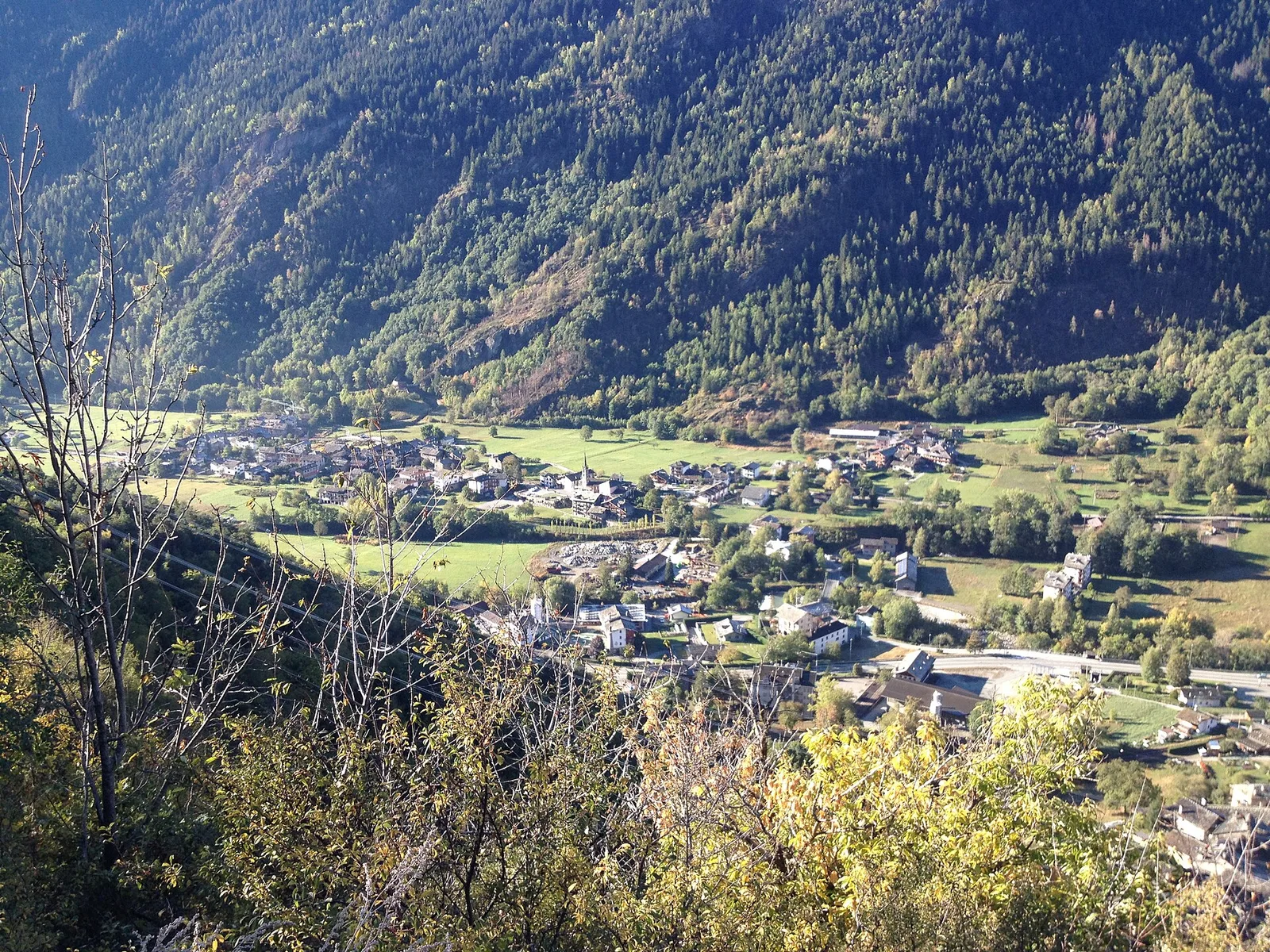
This high-level traverse links Vedun (1519 m) to Charvaz (1700 m) across the slopes shared by La Salle and La Thuile in the Valdigne, covering 4.5 km with a modest 297 metres of ascent. Walking almost on the level between 1500 and 1700 metres, the route crosses open pastures, conifer groves and small alpine meadows rich in wildflowers from June through July. The elevation guarantees clear views west towards the Mont Blanc massif and east along the Dora Baltea valley floor. An ideal itinerary for walkers of all abilities who seek wide mountain scenery without technical demands.
Aparcamiento
Galería de fotos
Photos are published immediately. JPG/PNG/WebP, max 6 MB.
Flora del sendero
AEditado y verificado por Andrea Rama
Fuente de datos: Catasto Sentieri Regione Autonoma VdA · Open data — DGR 899/2014
Última verificación:
Valle centrale
Senderos relacionados
Mismo valle o rutas similares — más excursiones por descubrir.

Valle centrale
Anello del Verrand
2.6 km · +233 m · E — from Château Verrand to Château Verrand (Rhêmes Valley).

Valle centrale
Area giochi Croux - Parleyaz
4.1 km · +476 m · E — from Area giochi Croux to Parleyaz (Central Valley).

Valle centrale
Arlier - Cloutraz (Pontey)
From Arlier (603m) to Cloutraz (1067m) on the Châtillon hillside: 3.5 km E through vineyards, woodland and views over the Dora Baltea.

Valle centrale
Arpilles - Champromenty
2.1 km · +333 m · E — from Arpilles to Champromenty (Lys Valley).