Champoluc - Lac Perrin
6 km
+1147 m
−0 m
4.5 h
Nivel físico
Mapa y ruta
Traza GPX — verifica sobre el terreno antes de caminar
Descripción
Puntos clave
Salida
Champoluc · 1569 m
Llegada
Lacs Perrin · 2649 m
Sendero
S43
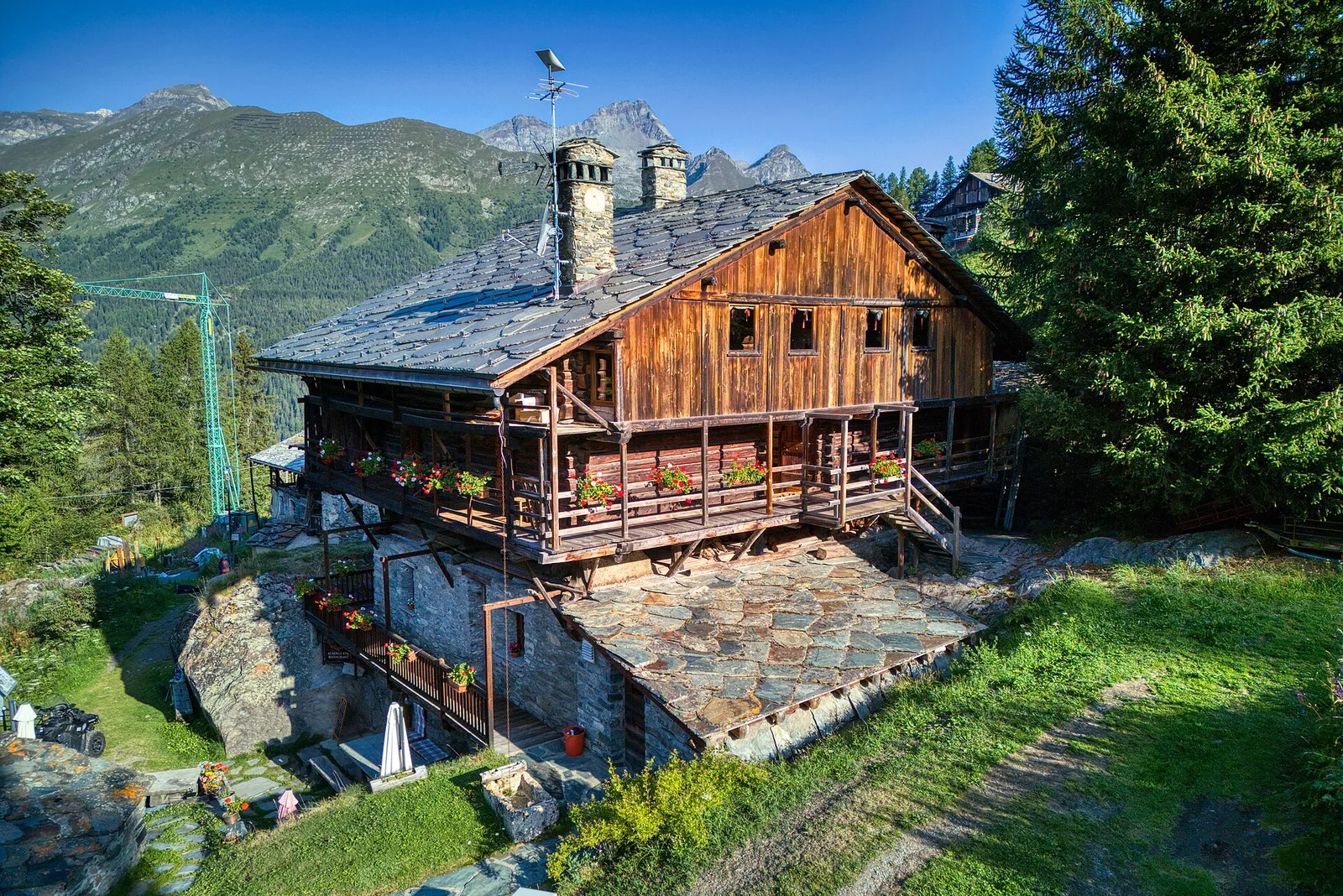
Trail 07_S43 starts from the centre of Champoluc at 1,569 m and climbs to the Lacs Perrin at 2,649 m: 6 km and 1,147 m of ascent, rated E (CAI scale). Champoluc is the main village in the upper Ayas Valley and the trailhead for numerous high-altitude routes. The path gains elevation steadily, moving through summer pastures before reaching the alpine lake basin of the Lacs Perrin. Recommended season: June to September.
Aparcamiento
Galería de fotos
Photos are published immediately. JPG/PNG/WebP, max 6 MB.
Flora del sendero
Fauna que observar
AEditado y verificado por Andrea Rama
Fuente de datos: Catasto Sentieri Regione Autonoma VdA · Open data — DGR 899/2014
Última verificación:
Val d'Ayas
Senderos relacionados
Mismo valle o rutas similares — más excursiones por descubrir.

Val d'Ayas
Amponey - Becca Trecare
A demanding EE ascent from Amponey to Becca Trecare at 3032m — nearly 1500m of gain on varied terrain with sweeping summit views.

Val d'Ayas
Amponey - Alpe Mascognaz
1.8 km · +309 m · E — from Amponey to Alpe Mascognaz (Central Valley).

Val d'Ayas
Amponey - Bec de Nannaz
In the Val d'Ayas, Ayas: an E-rated climb toward a high-altitude objective through pastures and rock with views of Monte Rosa.

Val d'Ayas
Amponey - Mont Facebelle
In the Val d'Ayas, Ayas: an E/EE-rated climb toward a high-altitude objective in the alpine landscape.