Leverogne - Relais de la television - Saint Nicolas
3.4 km
+499 m
−0 m
2 h
Nivel físico
Mapa y ruta
Traza GPX — verifica sobre el terreno antes de caminar
Descripción
Puntos clave
Salida
Leverogne · 721 m
Llegada
Saint-Nicolas · 1203 m
Sendero
S16
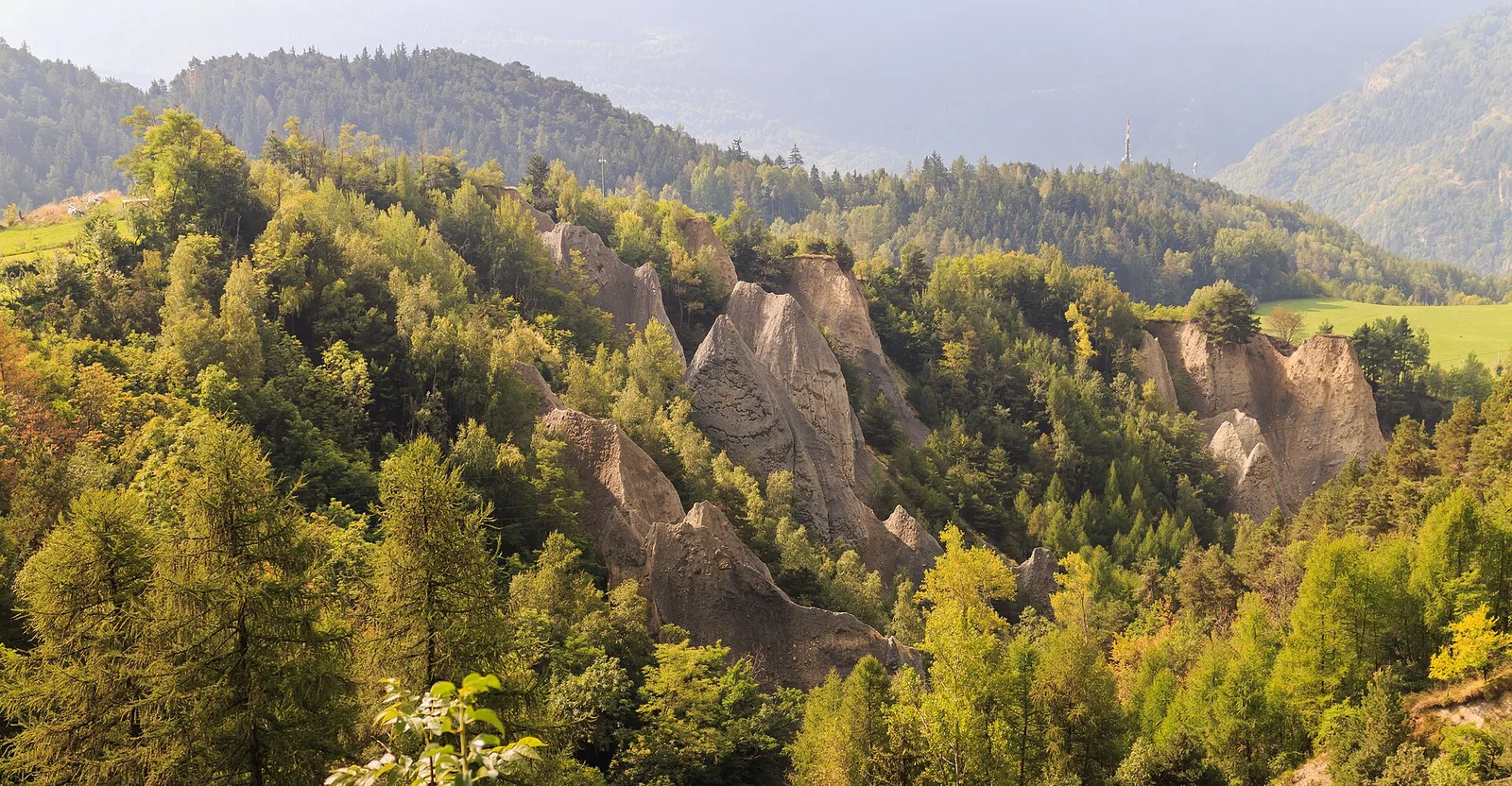
Trail 05_S16 connects Leverogne in the Valgrisenche valley floor (721 m) with the historic centre of Saint-Nicolas (1,203 m), covering 3.4 km with 499 m of ascent. The route passes the Relais de la Télévision — a topographic landmark on the slope — before reaching the village. Rated E, open from April to October across the municipalities of Arvier and Saint-Pierre. The trail is well-marked and the gradient is steady throughout, making it accessible to hikers with reasonable fitness.
Aparcamiento
Galería de fotos
Photos are published immediately. JPG/PNG/WebP, max 6 MB.
Flora del sendero
AEditado y verificado por Andrea Rama
Fuente de datos: Catasto Sentieri Regione Autonoma VdA · Open data — DGR 899/2014
Última verificación:
Valle centrale
Senderos relacionados
Mismo valle o rutas similares — más excursiones por descubrir.

Valle centrale
Anello del Verrand
2.6 km · +233 m · E — from Château Verrand to Château Verrand (Rhêmes Valley).

Valle centrale
Area giochi Croux - Parleyaz
4.1 km · +476 m · E — from Area giochi Croux to Parleyaz (Central Valley).

Valle centrale
Arlier - Cloutraz (Pontey)
From Arlier (603m) to Cloutraz (1067m) on the Châtillon hillside: 3.5 km E through vineyards, woodland and views over the Dora Baltea.

Valle centrale
Arpilles - Champromenty
2.1 km · +333 m · E — from Arpilles to Champromenty (Lys Valley).