Gouilles- Del (Saint-Denis)
3.5 km
+623 m
−0 m
2.5 h
Nivel físico
Mapa y ruta
Traza GPX — verifica sobre el terreno antes de caminar
Descripción
Puntos clave
Salida
Gouilles · 628 m
Llegada
Del · 1251 m
Sendero
S8
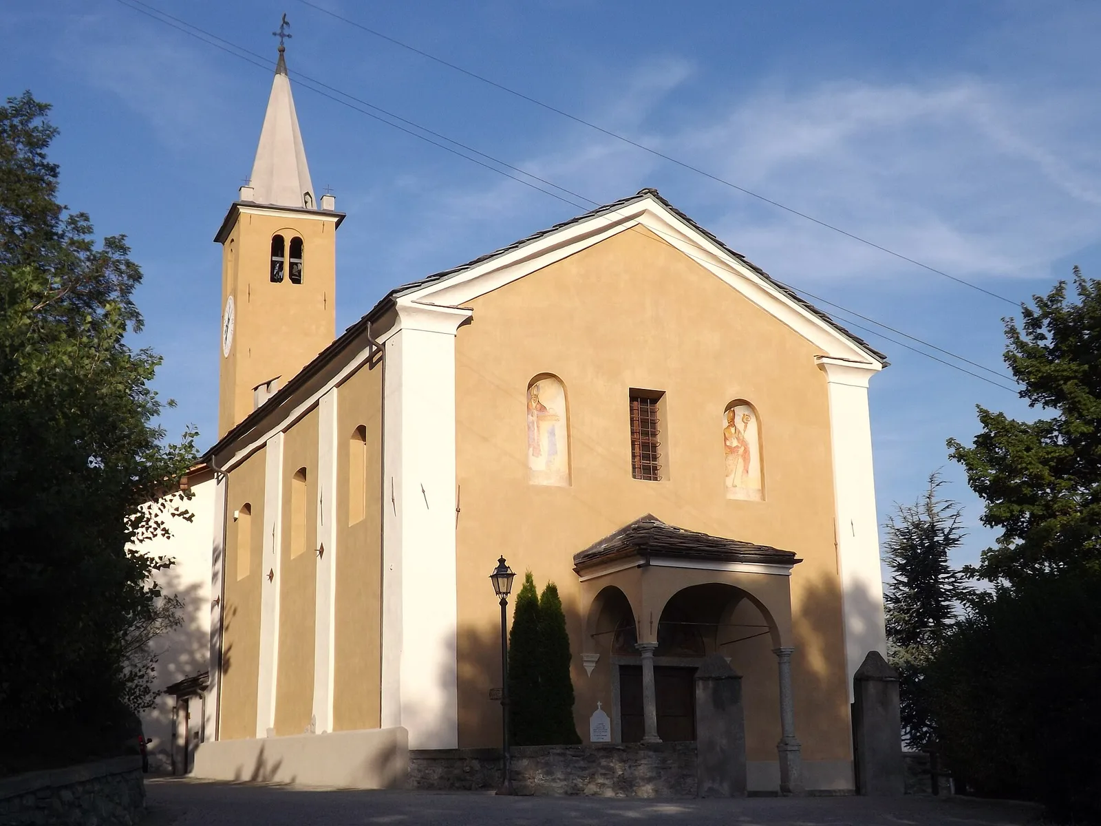
Setting off from Gouilles (628 m) in the municipality of Châtillon, the trail climbs the sun-drenched south-facing slope overlooking the confluence of Valtournenche and the central Aosta Valley. The route follows country paths and old mule tracks through well-tended vineyards and orchards before entering the warm, dry scrubland of downy oak and Scots pine typical of this sheltered aspect. The 623 m gain over just 3.5 km gives the ascent a consistent, sustained character. Views broaden steadily toward Châtillon, the Ussel castle and the peaks closing the Valtournenche to the north. The trail ends at Del (1251 m), a quiet mountain hamlet shaded by fresher mixed woodland. Best walked in spring, autumn or early summer.
Aparcamiento
Galería de fotos
Photos are published immediately. JPG/PNG/WebP, max 6 MB.
Fauna que observar
AEditado y verificado por Andrea Rama
Fuente de datos: Catasto Sentieri Regione Autonoma VdA · Open data — DGR 899/2014
Última verificación:
Valle centrale
Senderos relacionados
Mismo valle o rutas similares — más excursiones por descubrir.

Valle centrale
Anello del Verrand
2.6 km · +233 m · E — from Château Verrand to Château Verrand (Rhêmes Valley).

Valle centrale
Area giochi Croux - Parleyaz
4.1 km · +476 m · E — from Area giochi Croux to Parleyaz (Central Valley).

Valle centrale
Arlier - Cloutraz (Pontey)
From Arlier (603m) to Cloutraz (1067m) on the Châtillon hillside: 3.5 km E through vineyards, woodland and views over the Dora Baltea.

Valle centrale
Arpilles - Champromenty
2.1 km · +333 m · E — from Arpilles to Champromenty (Lys Valley).