Barmasc - Mont Zerbion
3.9 km
+810 m
−0 m
3 h
Nivel físico
Mapa y ruta
Traza GPX — verifica sobre el terreno antes de caminar
Descripción
Puntos clave
Salida
Barmasc · 1898 m
Llegada
Mont Zerbion · 2722 m
Sendero
S5
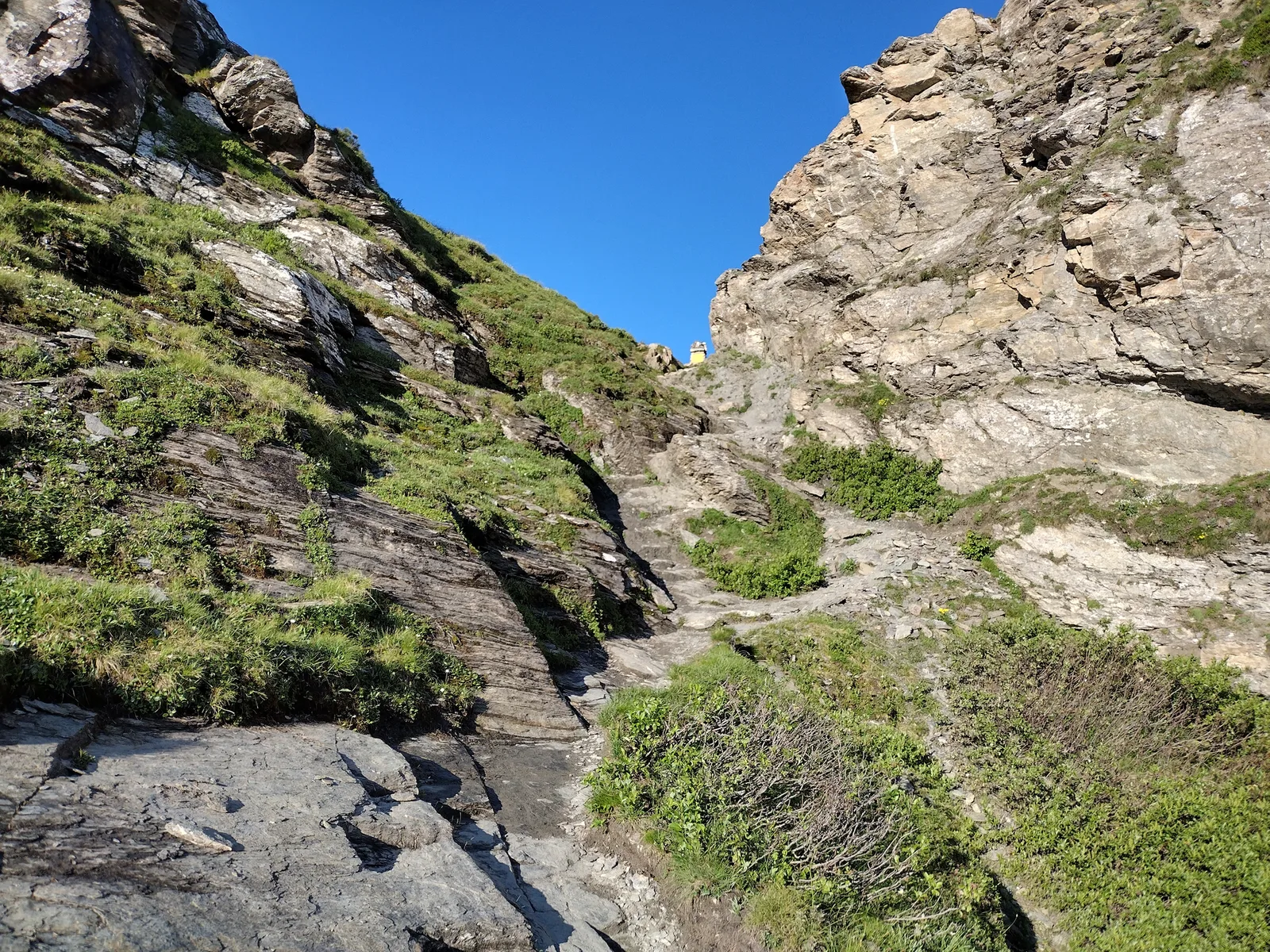
Mont Zerbion is one of the most rewarding viewpoints in the Aosta Valley. Starting from the hamlet of Barmasc (1898 m), the trail climbs steadily across open pastures and high-altitude meadows to the summit at 2722 m. The 810 m of elevation gain over 3.9 km are demanding but never technical, making this a classic hike for fit walkers. From the top, the panorama spans 360 degrees: Mont Blanc to the west, the Matterhorn and Monte Rosa to the north, and the Gran Paradiso massif to the south-east. Summer grazing is still active along the route, and encounters with Valdostan cattle herds are common. An early start is advisable to maximise visibility and avoid afternoon thunderstorms.
Aparcamiento
Galería de fotos
Photos are published immediately. JPG/PNG/WebP, max 6 MB.
Flora del sendero
Fauna que observar
AEditado y verificado por Andrea Rama
Fuente de datos: Catasto Sentieri Regione Autonoma VdA · Open data — DGR 899/2014
Última verificación:
Val d'Ayas
Senderos relacionados
Mismo valle o rutas similares — más excursiones por descubrir.

Val d'Ayas
Amponey - Becca Trecare
A demanding EE ascent from Amponey to Becca Trecare at 3032m — nearly 1500m of gain on varied terrain with sweeping summit views.

Val d'Ayas
Amponey - Alpe Mascognaz
1.8 km · +309 m · E — from Amponey to Alpe Mascognaz (Central Valley).

Val d'Ayas
Amponey - Bec de Nannaz
In the Val d'Ayas, Ayas: an E-rated climb toward a high-altitude objective through pastures and rock with views of Monte Rosa.

Val d'Ayas
Amponey - Mont Facebelle
In the Val d'Ayas, Ayas: an E/EE-rated climb toward a high-altitude objective in the alpine landscape.