Covarey- Col de la Croix
8 km
+1073 m
−0 m
4.5 h
Nivel físico
Mapa y ruta
Traza GPX — verifica sobre el terreno antes de caminar
Descripción
Puntos clave
Salida
Covarey · 1211 m
Llegada
Col de la Croix · 2286 m
Sendero
S4
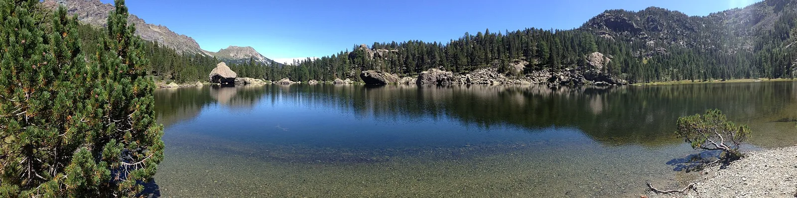
From Covarey (1211 m), on the mountains of Charvensod that form a balcony over the Aosta basin, this hiking route (E) climbs to the Col de la Croix (2286 m) with just over a thousand metres of ascent in about 8 kilometres. The path soon leaves the conifer woods of the slope to open onto high pastures up to the pass, one of the crossings linking the southern side-valleys of the central valley. From the col the view ranges over the city of Aosta and, to the north, the border chain with its four-thousanders. It is a continuous climb, best done in summer with plenty of water: much of the route is in open, sunny terrain.
Aparcamiento
Galería de fotos
Photos are published immediately. JPG/PNG/WebP, max 6 MB.
Flora del sendero
Fauna que observar
AEditado y verificado por Andrea Rama
Fuente de datos: Catasto Sentieri Regione Autonoma VdA · Open data — DGR 899/2014
Última verificación:
Valle di Champorcher
Senderos relacionados
Mismo valle o rutas similares — más excursiones por descubrir.

Valle di Champorcher
Barche - Plan Clavalité - Grand Alpe
13.9 km · +1540 m · E — from Barche to Grand Alpe (Lys Valley).

Valle di Champorcher
Castagnot - Col de Pofouey
3.8 km · +903 m · E — from Castagnot to Colle d'Arcomy (Central Valley).

Valle di Champorcher
Champorcher - Col de la Fricolla
8.8 km · +1350 m · EE — from Champorcher to Col de la Fricolla (Valtournenche).

Valle di Champorcher
Champorcher - Col Laris
10.1 km · +1406 m · E — from Champrocher to Col Laris (Valtournenche).