Leverogne - Grand Haury
3.6 km
+434 m
−0 m
2 h
Nivel físico
Mapa y ruta
Traza GPX — verifica sobre el terreno antes de caminar
Descripción
Puntos clave
Salida
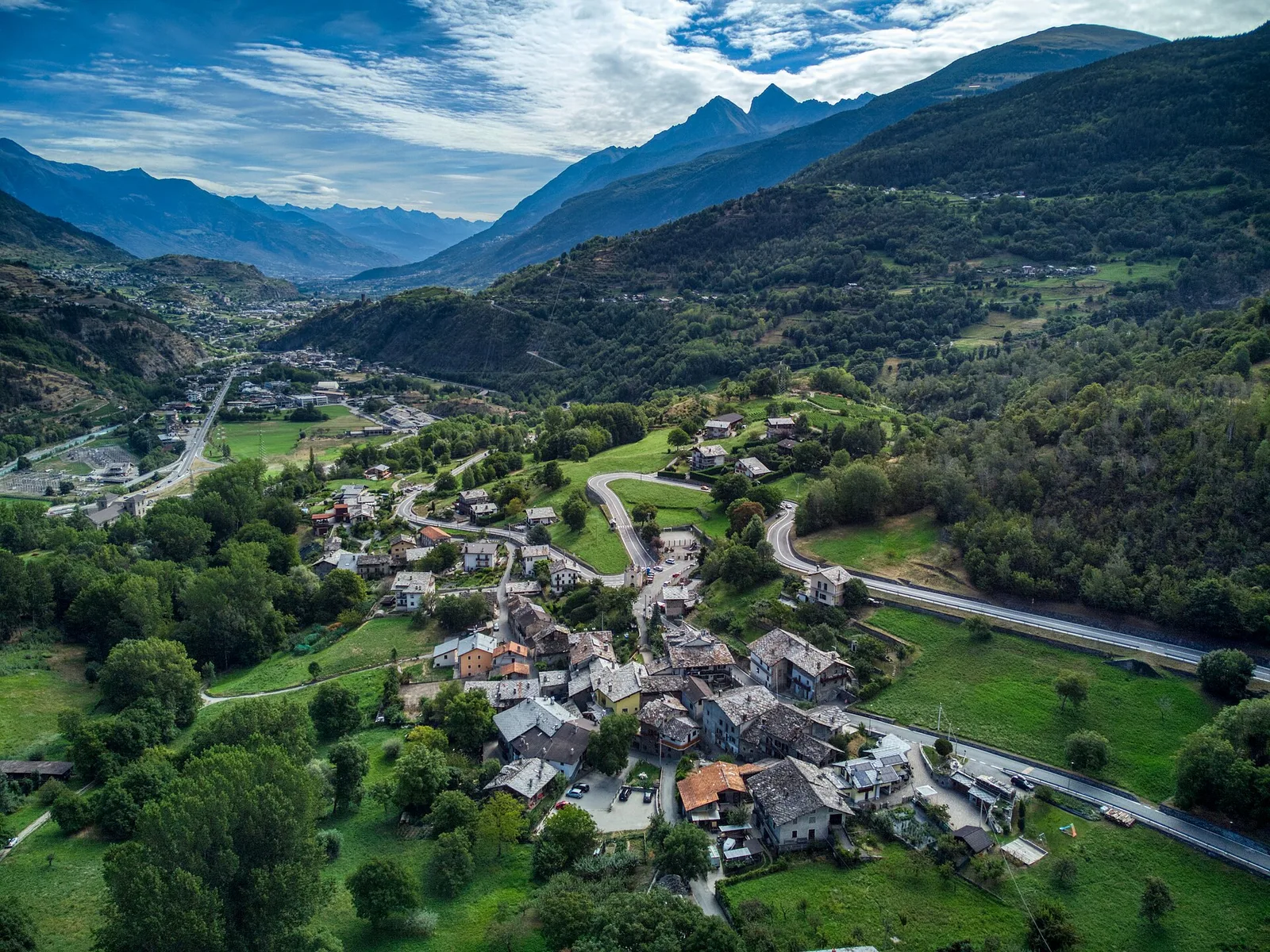
Leverogne · 737 m
Llegada
Grand Haury · 1171 m
Sendero
S8
One of the traditional access routes to the Valgrisenche, this path departs from the small village of Leverogne at 737 metres in the municipality of Arvier, climbing steadily to Grand Haury at 1171 metres. The trail crosses alternating woodland zones, transitioning from deciduous forest at lower elevations to conifers higher up, before opening onto open pastures with wide views over the main valley and surrounding ridges. A valued alternative to the road for those wishing to enter the Valgrisenche on foot, this route preserves the character of historic mountain paths linking valley communities.
Aparcamiento
Galería de fotos
Photos are published immediately. JPG/PNG/WebP, max 6 MB.
Flora del sendero
Fauna que observar
AEditado y verificado por Andrea Rama
Fuente de datos: Catasto Sentieri Regione Autonoma VdA · Open data — DGR 899/2014
Última verificación:
Valle centrale
Senderos relacionados
Mismo valle o rutas similares — más excursiones por descubrir.

Valle centrale
Anello del Verrand
2.6 km · +233 m · E — from Château Verrand to Château Verrand (Rhêmes Valley).

Valle centrale
Area giochi Croux - Parleyaz
4.1 km · +476 m · E — from Area giochi Croux to Parleyaz (Central Valley).

Valle centrale
Arlier - Cloutraz (Pontey)
From Arlier (603m) to Cloutraz (1067m) on the Châtillon hillside: 3.5 km E through vineyards, woodland and views over the Dora Baltea.

Valle centrale
Arpilles - Champromenty
2.1 km · +333 m · E — from Arpilles to Champromenty (Lys Valley).