Arp Nouva - Rifugio Dalmazzi
Advertencias
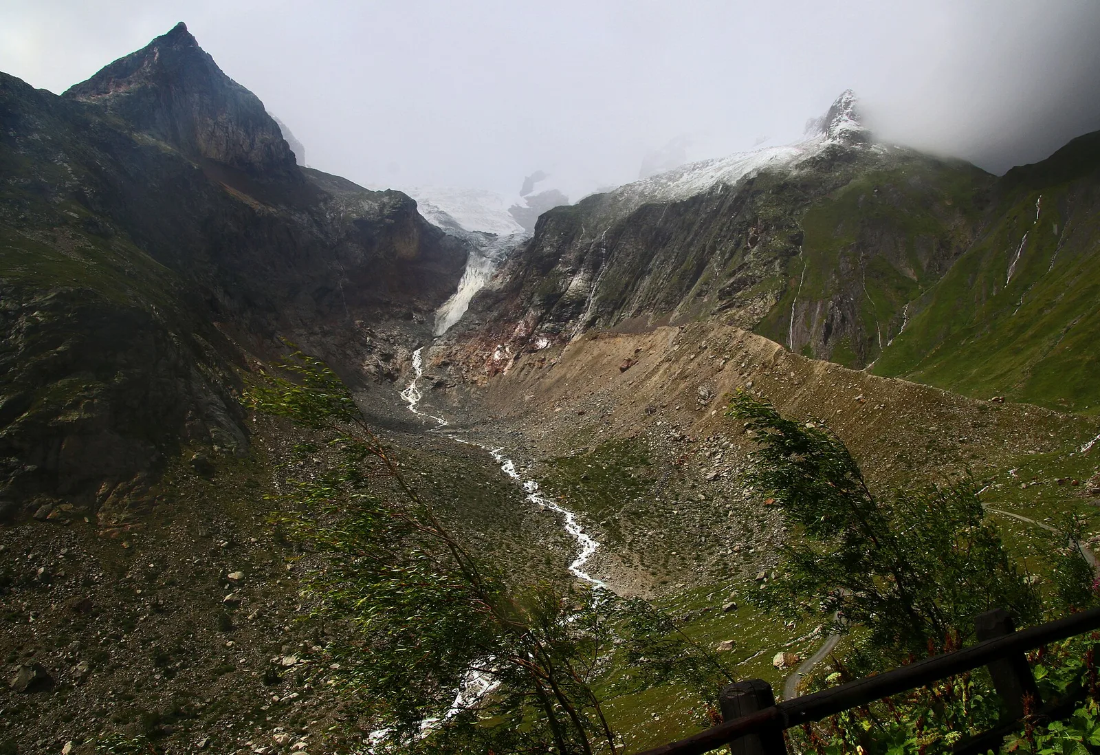
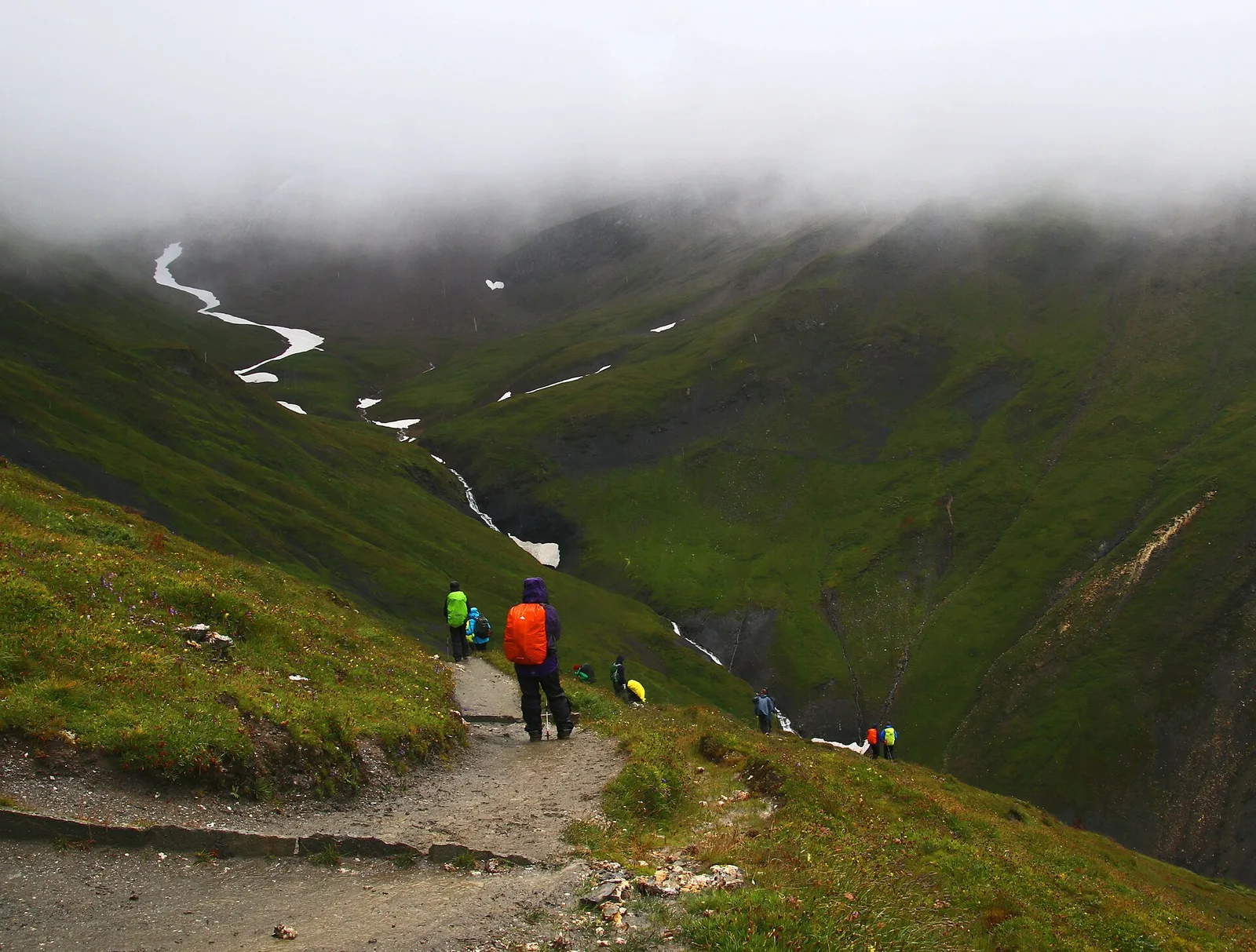
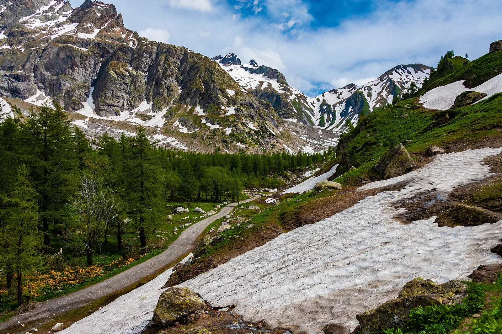
- Final section on scree and rock with steep or exposed steps: requires a sure foot and a head for heights (EE grade).
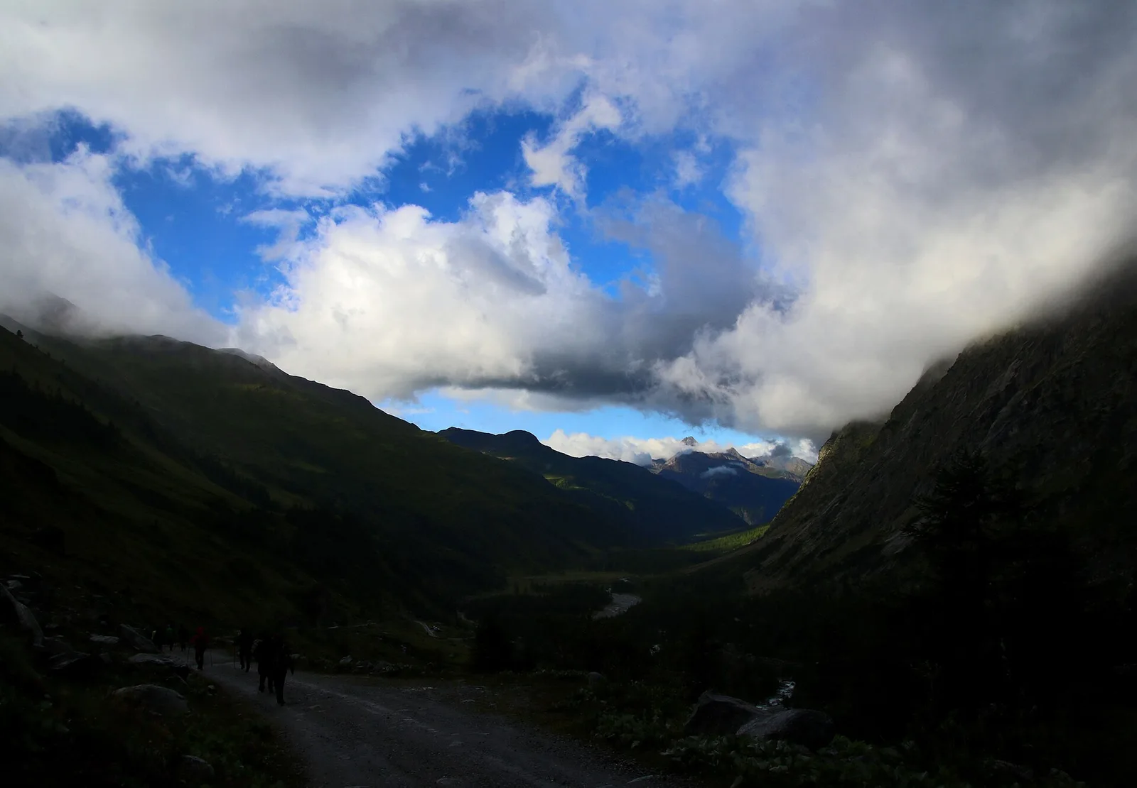
- High-altitude route: start early, plan time and water, and turn back before early afternoon.
- In fog the path across pastures and boulder fields can be hard to follow: rely on waymarks and a map.
4.2 km
+814 m
−0 m
3 h
Nivel físico
Mapa y ruta
Traza GPX — verifica sobre el terreno antes de caminar
Descripción
Puntos clave
Salida
Arp.Nouva · 1770 m
Llegada
Rifugio Dalmazzi · 2573 m
Sendero
S10
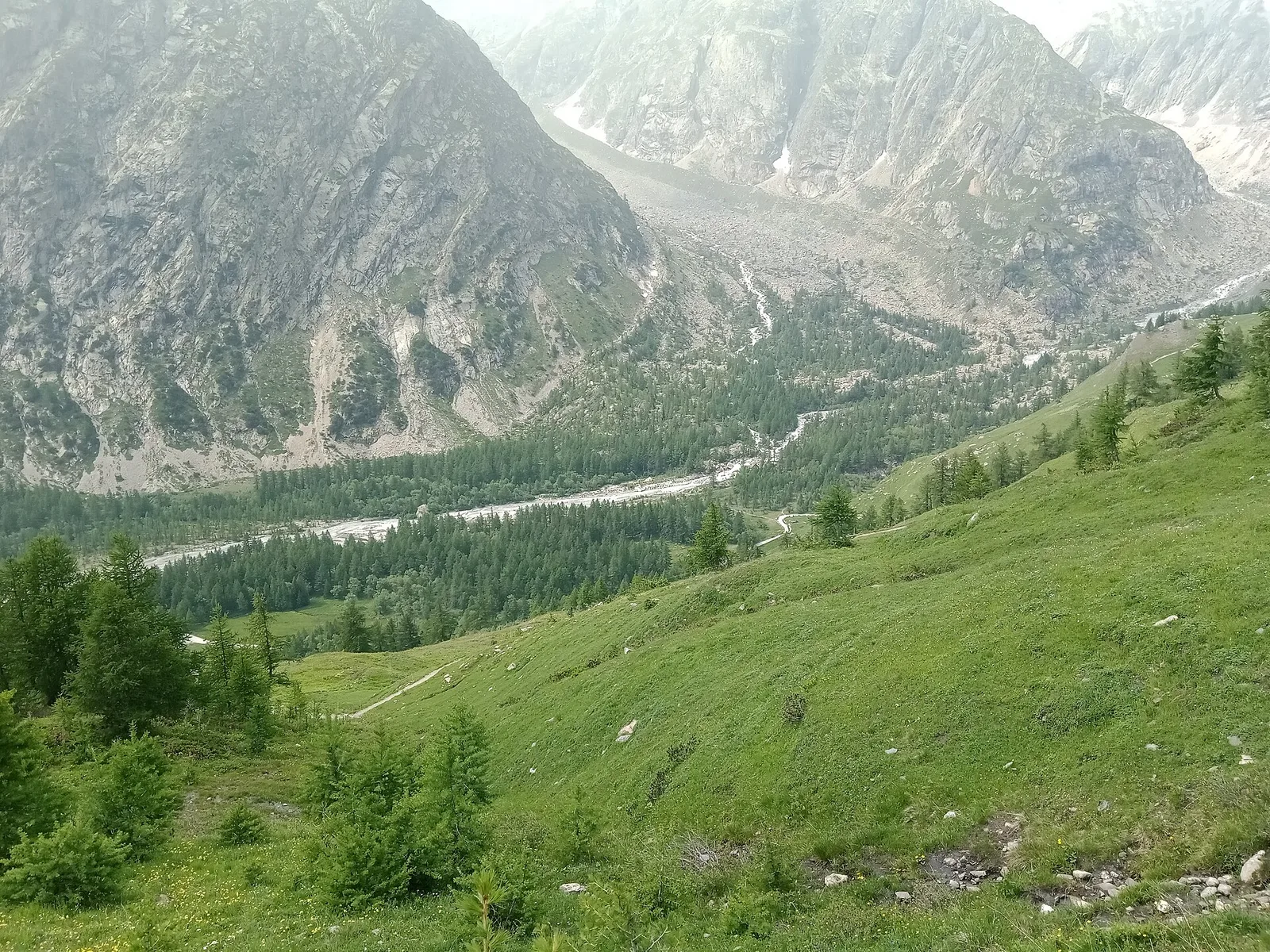
Arp Nouva - Rifugio Dalmazzi is an official trail from the Aosta Valley trail registry (code 22_S10). The route lies in the municipality of Doues, in the Great St Bernard Valley. From Arp.Nouva (1770 m) to Rifugio Dalmazzi (2573 m): 4.2 km with +814 m of elevation change, difficulty EE (CAI scale). Minimum elevation 1770 m, maximum 2573 m. Recommended season per registry: Luglio - Agosto (months 7, 8). Waymarking: 23 segnavia recorded in the registry. GPX track and elevation data from Regione Autonoma Valle d'Aosta (open data DGR 899/2014).
Aparcamiento
Galería de fotos
Photos are published immediately. JPG/PNG/WebP, max 6 MB.
Flora del sendero
Fauna que observar
AEditado y verificado por Andrea Rama
Fuente de datos: Catasto Sentieri Regione Autonoma VdA · Open data — DGR 899/2014
Última verificación:
Val Ferret
Senderos relacionados
Mismo valle o rutas similares — más excursiones por descubrir.
Val Ferret
Arp Nouva - Bellecombe - Colle des Angrognettes - Col du Ban Darrey
6.8 km · +929 m · EE — from Arp-Nouva to Colle des Angrognettes (Great St Bernard Valley).
Val Ferret
Arp Nouva - Bivacco Comino
2.8 km · +678 m · EE — from Arp.Nouva to Biv. Comino (Great St Bernard Valley).
Val Ferret
Arp Nouva - Bivacco Florio (Refuge du Dolent)
4.9 km · +961 m · E — from Arp.Nouva to Bivacco Florio (Refuge du Dolent) (Great St Bernard Valley).
Val Ferret
Arp Nouva - Rifugio Elena
2.2 km · +291 m · E — from Arp-Nouva to Rif Elena (Great St Bernard Valley).